
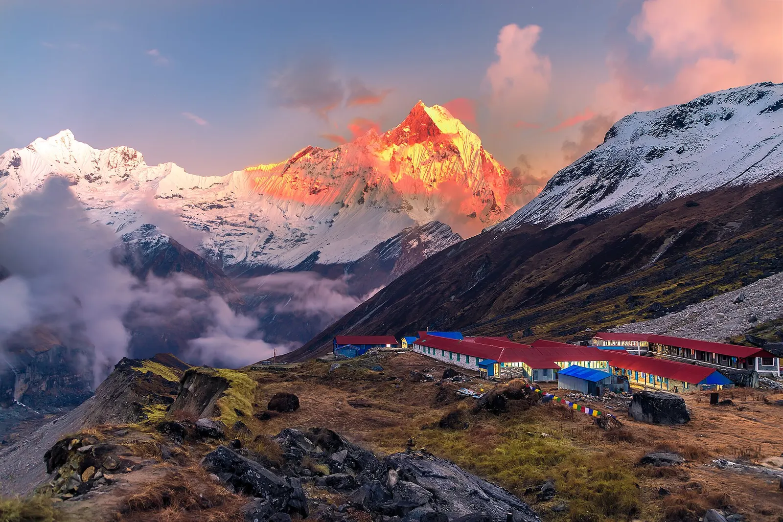
National park or conservation area
Annapurna Region
Nepal's largest protected area, from Gurung hill villages and rhododendron forest to the dry valleys behind the Annapurna range.
Gandaki Provinceमनाङ
Trans-Himalayan valley behind the Annapurnas, crossed by the Annapurna circuit, with Tilicho Lake, Nar Phu and the Thorong La.
Manang lies north of the Annapurna range in the upper Marsyangdi valley, bordered by Mustang to the west, Lamjung and Kaski to the south, Gorkha to the east and Tibet to the north. Much of the district is high and dry, in the rain shadow of the Annapurnas, with pine forest lower down giving way to bare slopes, yak pastures and glaciers. Side valleys lead to Nar and Phu and to Tilicho Lake.
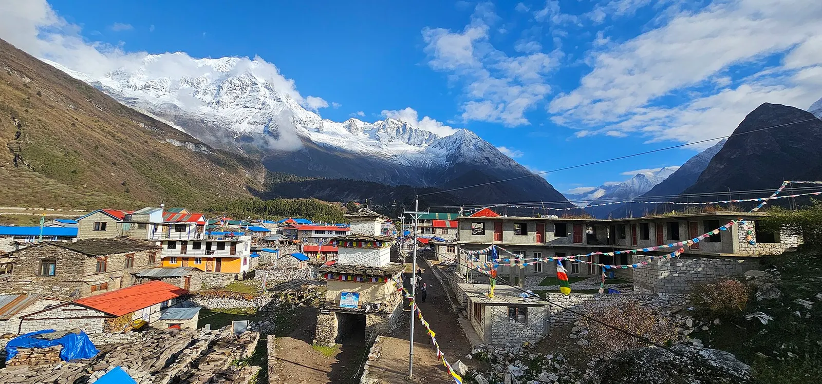
The people of the upper valley, known as Manangi or Nyeshangba, follow Tibetan Buddhism and have a long tradition of trade. Villages such as Pisang, Ngawal and Manang have stone houses, prayer walls and old gompas. Almost all visitors come on foot or by jeep on the Annapurna circuit, acclimatising in Manang before crossing the Thorong La to Muktinath, while others walk in from the Manaslu side over the Larkya La to Bimthang.
National park or conservation area
Nepal's largest protected area, from Gurung hill villages and rhododendron forest to the dry valleys behind the Annapurna range.
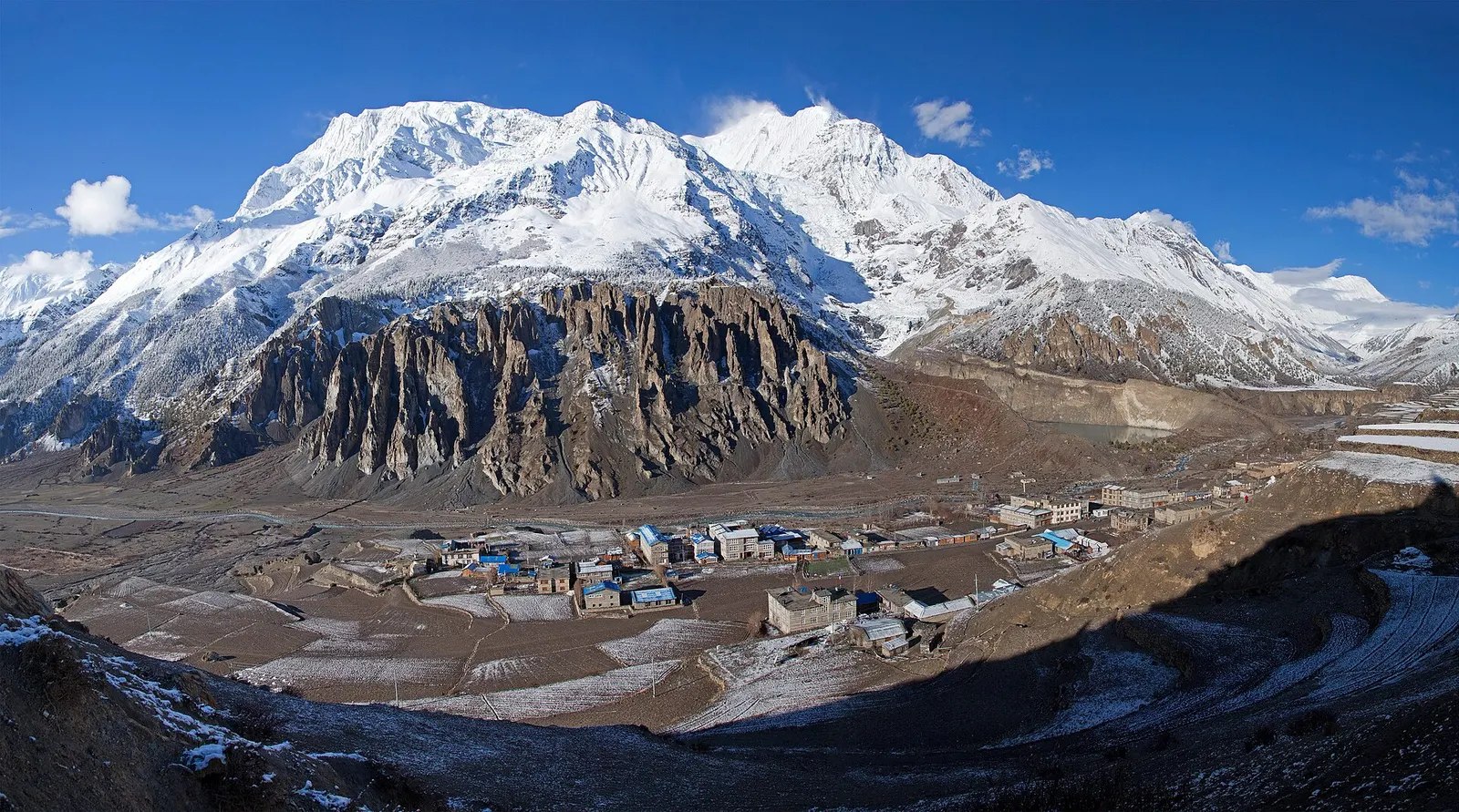
Town or village · 3,519 m
A high stone village in the upper Marsyangdi valley below Annapurna III and Gangapurna, where Circuit trekkers stop to acclimatise.
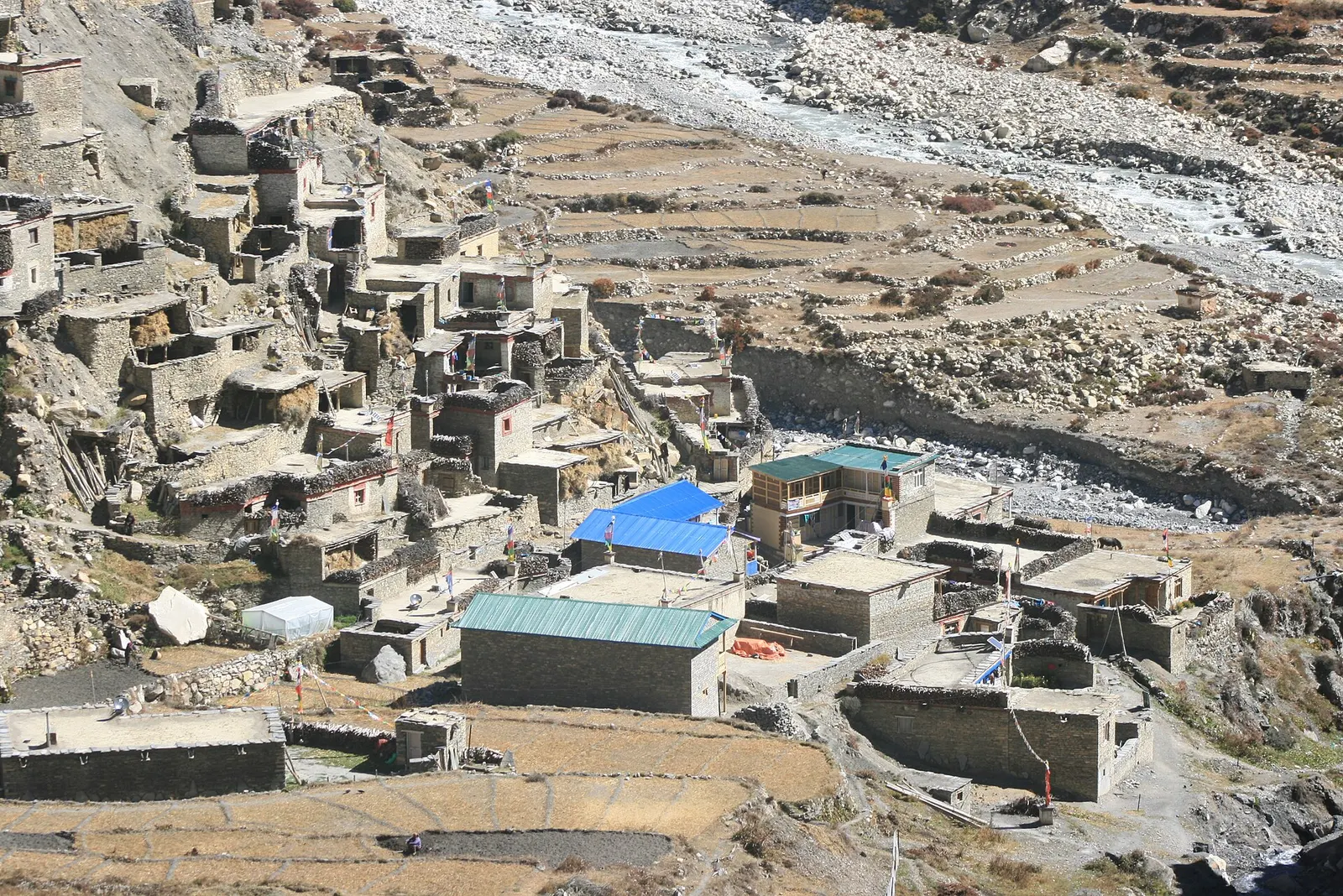
Valley or region · 4,150 m
A restricted high valley north of the Annapurna Circuit, with two old Tibetan Buddhist villages, Nar and Phu, reached through a narrow gorge from Koto.
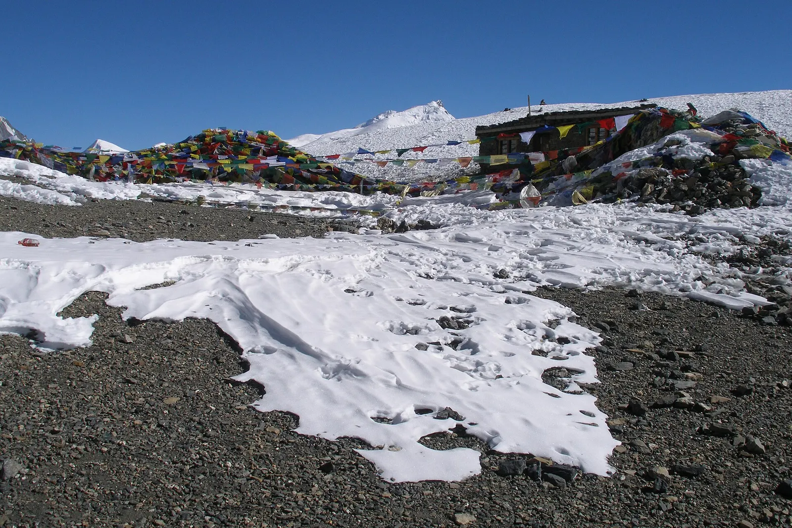
Mountain pass · 5,416 m
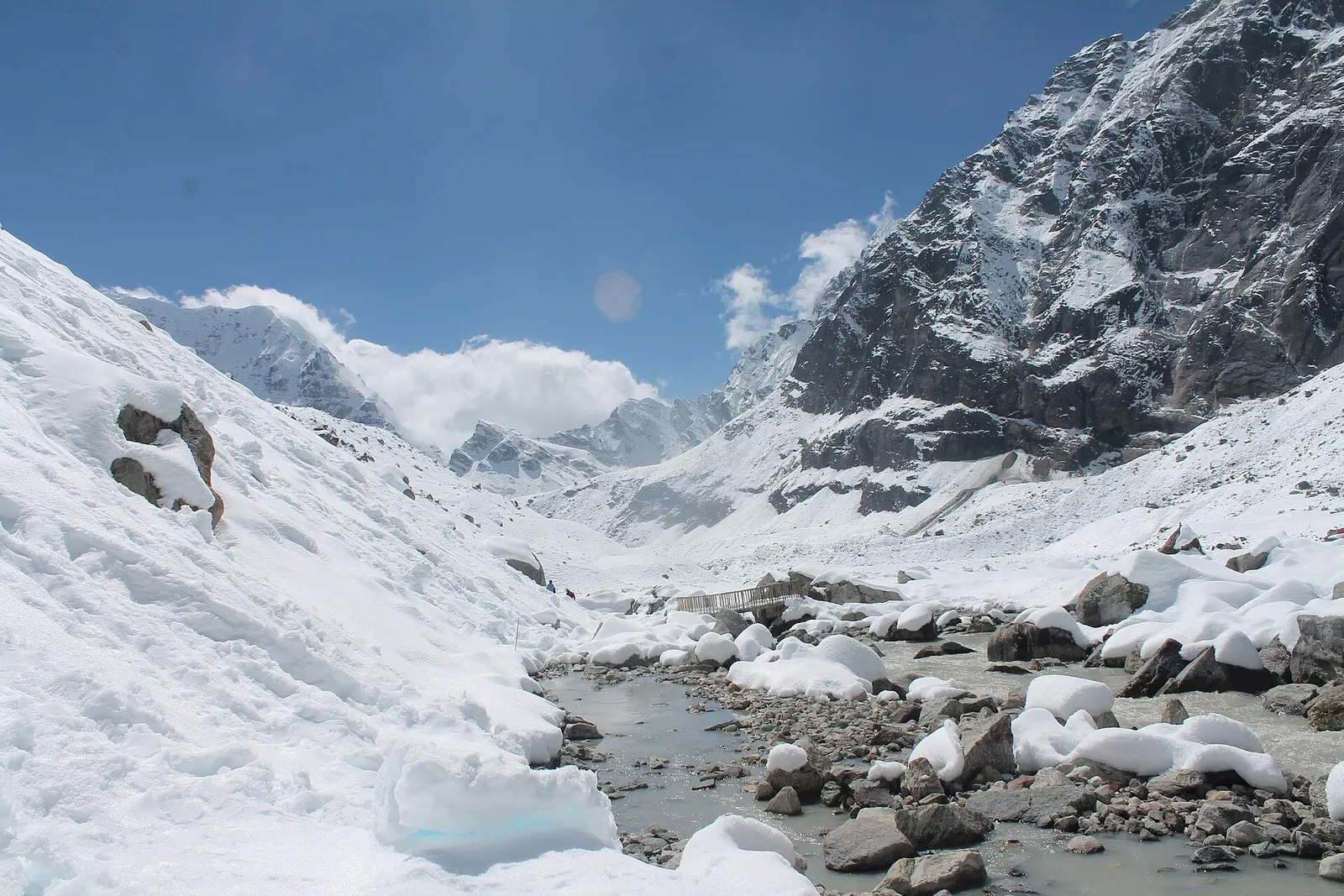
The 5,416 m pass between Manang and Muktinath, the high point of the Annapurna Circuit.
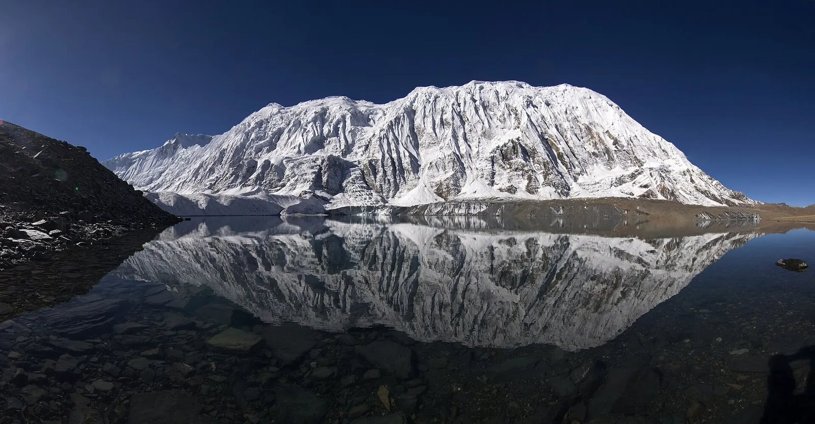
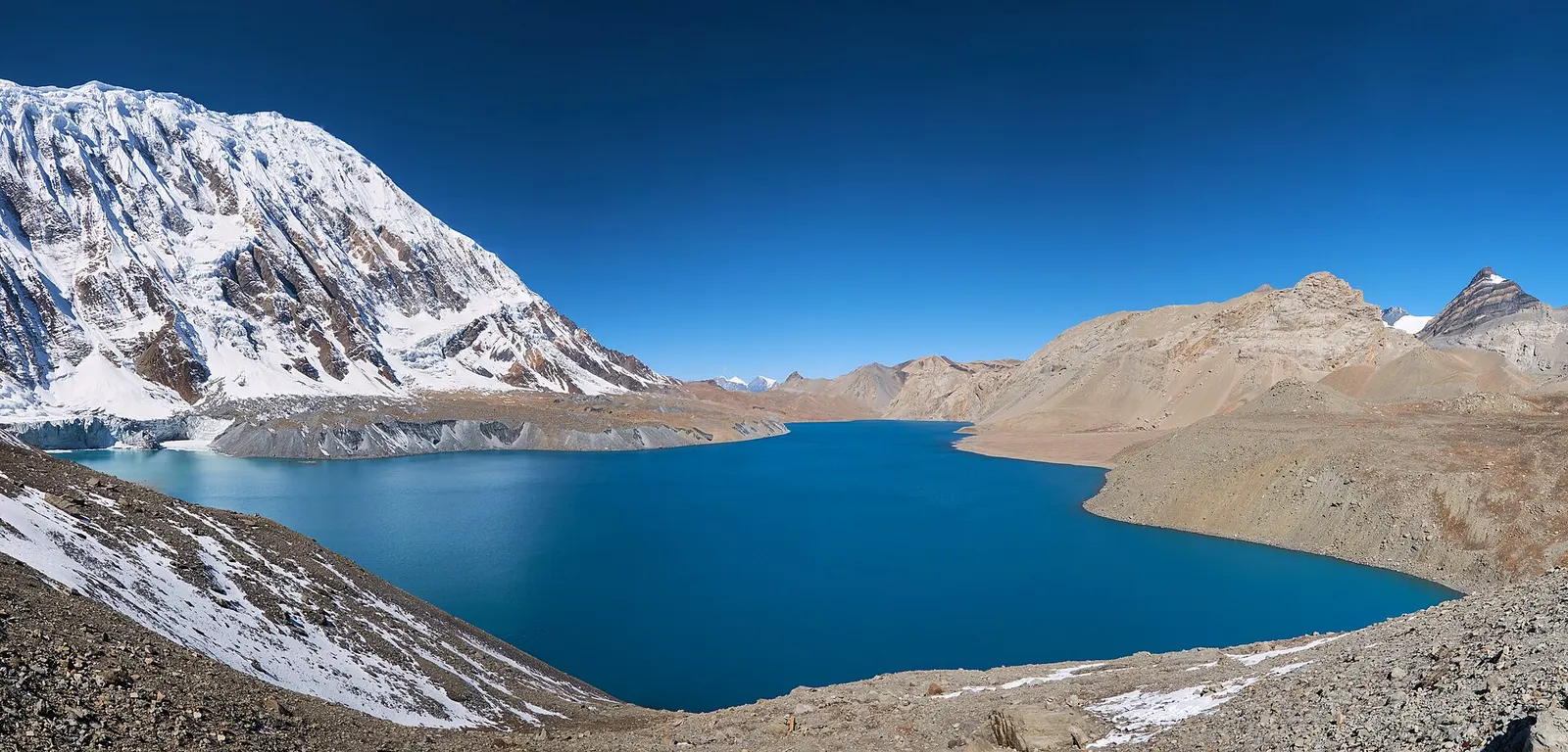
Lake · 4,919 m
A glacial lake at about 4,920 m beneath the ice walls of Tilicho Peak, reached on a demanding side trip from Manang.
A rough jeep road climbs the Marsyangdi valley from Besisahar in Lamjung to Chame and on to Manang village, usually a long, bumpy day or more depending on conditions. Trekkers often walk sections instead. The nearest airport with reliable flights is Pokhara.
Autumn and spring are best; the monsoon brings less rain here than south of the Annapurnas but landslides affect the approach road, and winter is very cold with snow often closing the Thorong La.
A teahouse journey around the Annapurna massif, from the green Marsyangdi valley through Manang and over the Thorong La (5,416 m) to Muktinath and the dry Kali Gandaki valley.
A network of high and mid-hill routes about 1,700 km long that crosses Nepal from Kanchenjunga in the east to Humla and the far west, usually walked in sections, or as a through-trek of about four to five months.
A restricted-area teahouse trek around Manaslu (8,163 m), up the Budhi Gandaki gorge through Gurung and Nubri villages, over the Larkya La (about 5,106 m) and down to Dharapani on the Annapurna Circuit.
A restricted-area trek from Koto on the Annapurna Circuit into the high Tibetan Buddhist villages of Phu and Nar, crossing the Kang La (about 5,320 m) to Ngawal and Manang.
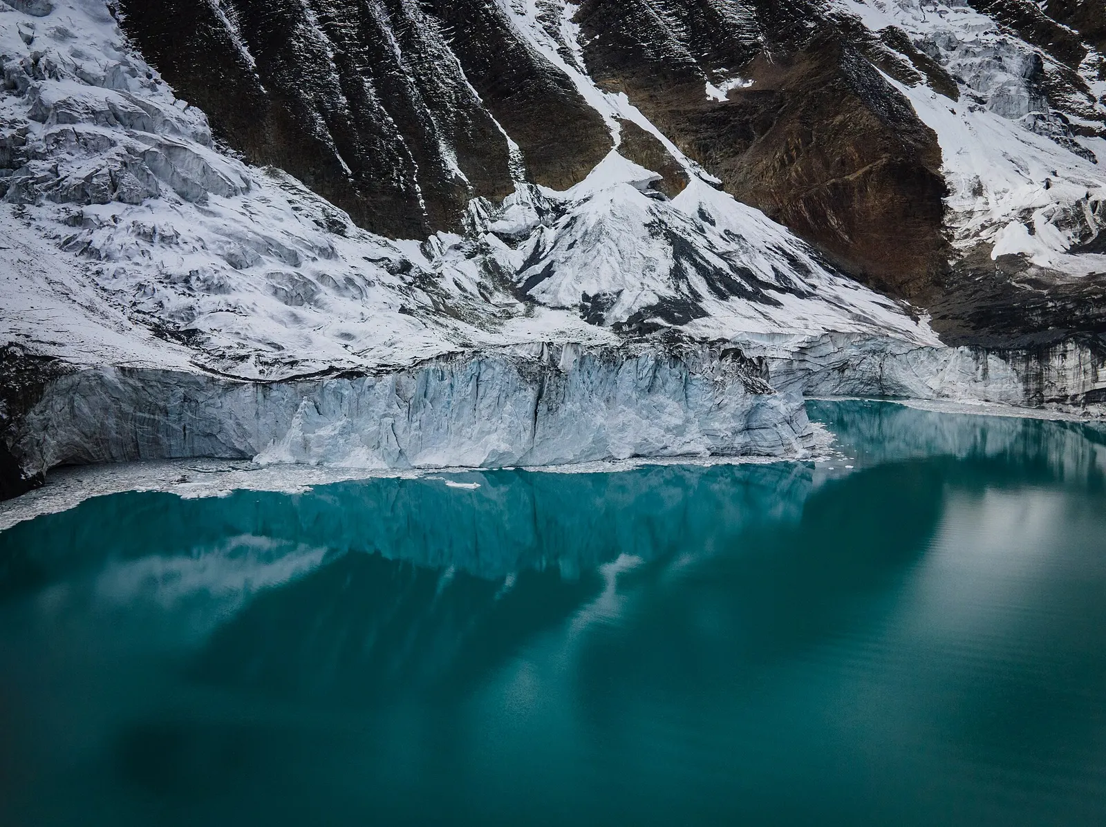
A side trek from Manang on the Annapurna Circuit to Tilicho Lake (about 4,919 m), a glacier-fed lake below Tilicho Peak, via Khangsar, Shree Kharka and Tilicho Base Camp.