A restricted-area trek from Koto on the Annapurna Circuit into the high Tibetan Buddhist villages of Phu and Nar, crossing the Kang La (about 5,320 m) to Ngawal and Manang.
- Days
- 12 days
- Maximum altitude
- 5,320 m
- Difficulty
- Strenuous
Manangङावल
A stone village high on the north side of the Manang valley, on the upper Annapurna Circuit route and at the foot of the Kang La from Nar.
Ngawal is a traditional village of flat-roofed stone houses on a shelf above the north side of the Manang valley, at about 3,660 m. It lies on the high trail between Upper Pisang and Manang, which climbs through Ghyaru and is often recommended for acclimatisation, and it looks straight across at Annapurna II, III and IV and Gangapurna.
Ngawal is also where the Nar Phu trek rejoins the Annapurna Circuit, after the long descent from the Kang La (about 5,320 m). Trekkers who have crossed the pass usually spend a night here before walking on to Manang, about 2-3 hours away. A few lodges serve both groups.
Ngawal is one of the Nyeshang villages of upper Manang, with a Tibetan Buddhist culture. A large chorten marks the village entrance, and lanes pass prayer wheels and mani walls. Local tradition points to a cave above the village associated with Guru Rinpoche, and a Nyingma monastery stands nearby. Many families now spend part of the year in Kathmandu or abroad, and some houses stand empty in winter.
Walk the high route
Follow the ridge trail from Ghyaru to Ngawal and on to Humde and Braga, staying high for acclimatisation.
Explore the village lanes
Walk clockwise past the chorten, prayer wheels and mani walls, and look out over the valley from the edge of the village.
Forecast for 3,660 m. Conditions change fast in the mountains.
Weather data: MET Norway, licensed CC BY 4.0. A forecast, not a guarantee.
Mar-May, Oct-Nov
A small number of trekking lodges.
No partner stays are listed here yet. List a property.
Reached on foot on the high route between Pisang and Manang, or from Nar over the Kang La.
Nearest hub: Pokhara
Permit required
Inside the Annapurna Conservation Area, so an ACAP permit is required. Arriving from Nar needs the Nar Phu restricted-area permit as well.
Verify before travel: permit rules and fees change. Checked 2026-10-06 against National Trust for Nature Conservation (ACAP).
On the Annapurna Circuit (upper route), Nar Phu valley trek.
A restricted-area trek from Koto on the Annapurna Circuit into the high Tibetan Buddhist villages of Phu and Nar, crossing the Kang La (about 5,320 m) to Ngawal and Manang.
Yes, on the high route between Upper Pisang and Manang, which many trekkers choose for acclimatisation and views.
About 3,650-3,680 m. Altitude symptoms are possible; climb slowly.
At Ngawal, after the descent from the Kang La, about 2-3 hours above Manang.
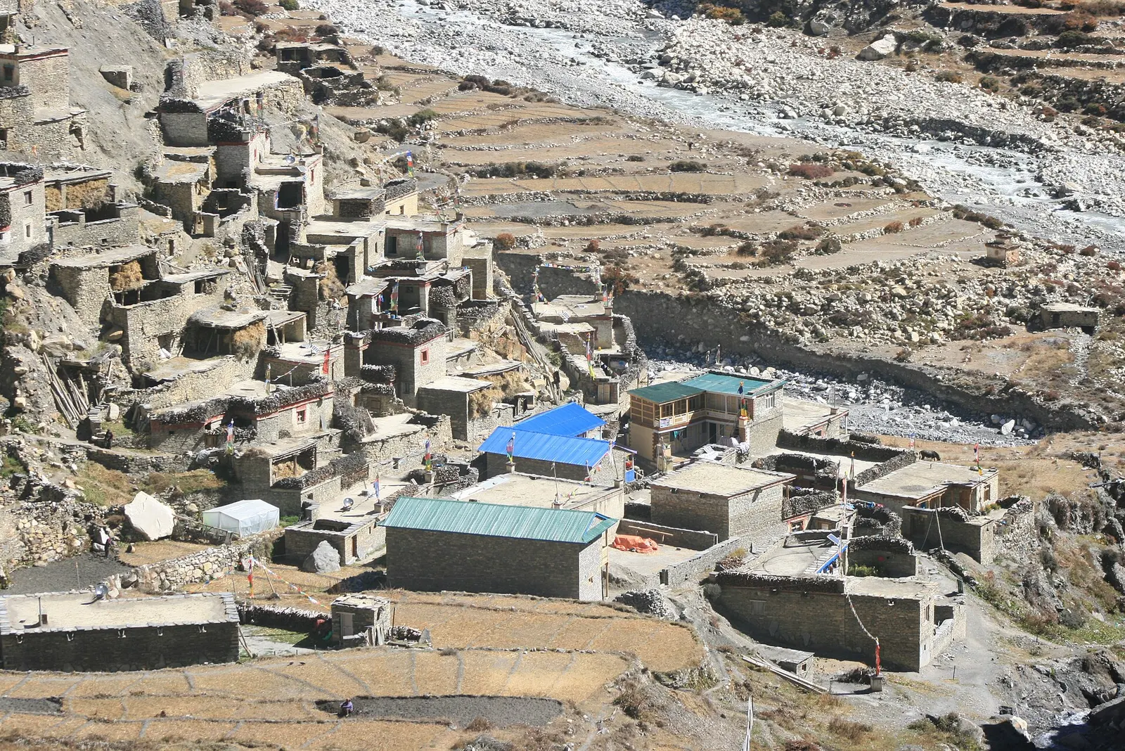
Valley or region · 4,150 m
A restricted high valley north of the Annapurna Circuit, with two old Tibetan Buddhist villages, Nar and Phu, reached through a narrow gorge from Koto.
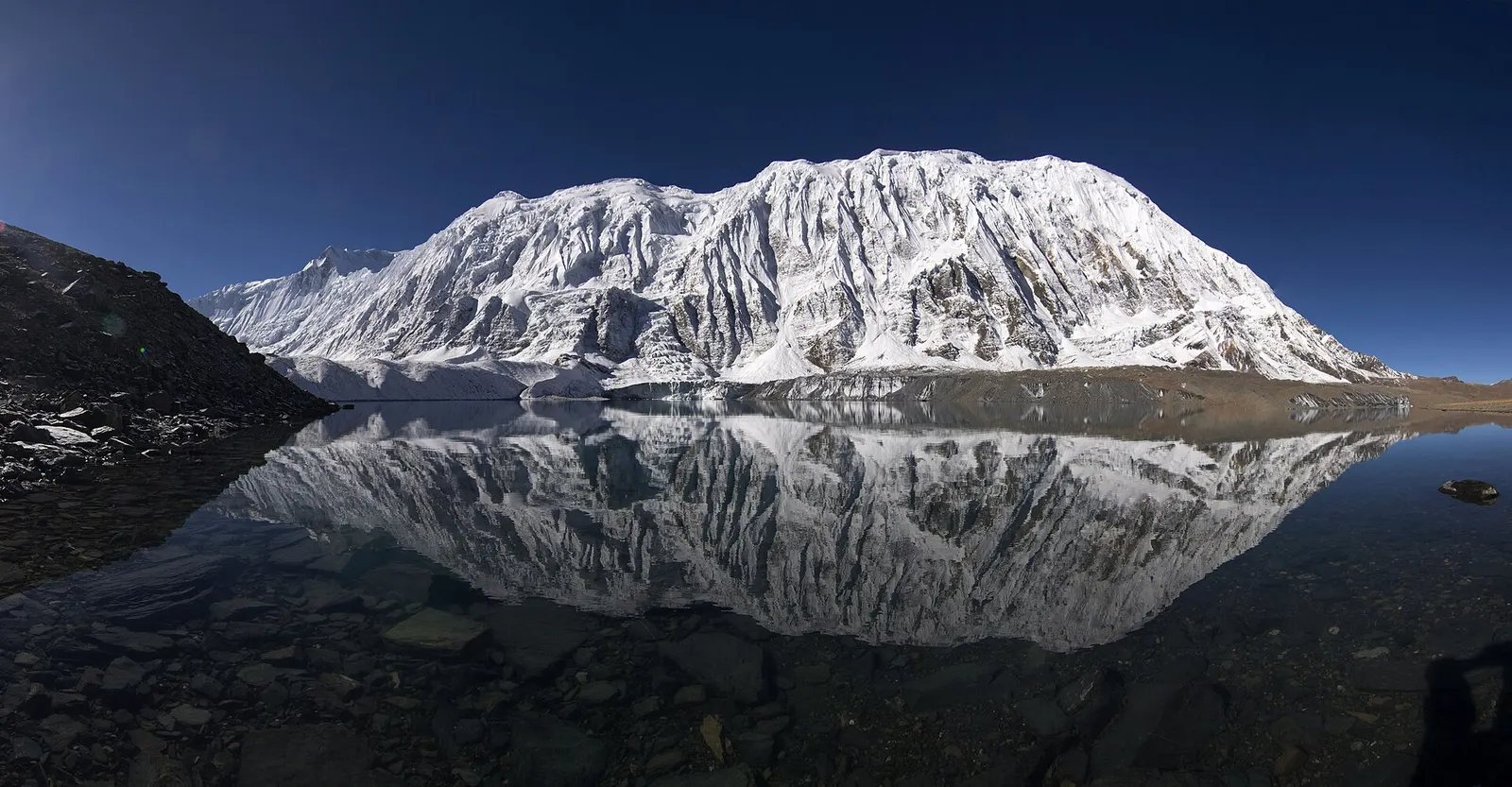
Lake · 4,919 m
A glacial lake at about 4,920 m beneath the ice walls of Tilicho Peak, reached on a demanding side trip from Manang.
Trek stop · 2,670 m
The district headquarters of Manang, a road-head town in fir and pine forest where most Annapurna Circuit trekkers spend a night.
Trek stop · 1,900 m
A Marsyangdi valley village where the Manaslu Circuit joins the Annapurna Circuit road.
Trek stop · 2,600 m
A small village in pine and fir forest on the Annapurna Circuit, just below Chame, and the start of the trail into the Nar Phu valley.
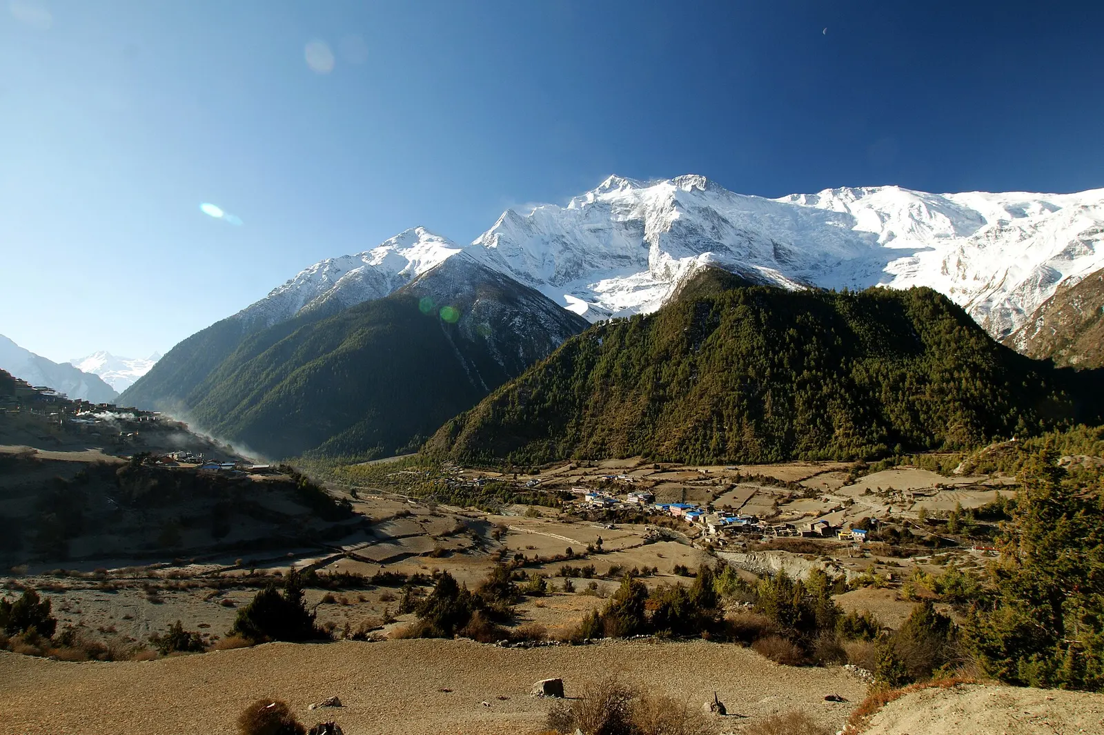
Trek stop · 3,300 m
Twin villages in the upper Marsyangdi, where the old stone houses of Upper Pisang look across to Annapurna II.
Trek stop · 4,070 m
A small lodge stop in high pasture west of Manang, on the trail to Tilicho Base Camp and Tilicho Lake.
Trek stop · 4,540 m
The lodges at the foot of the Thorong La, where Annapurna Circuit trekkers sleep before the pre-dawn climb to the pass.
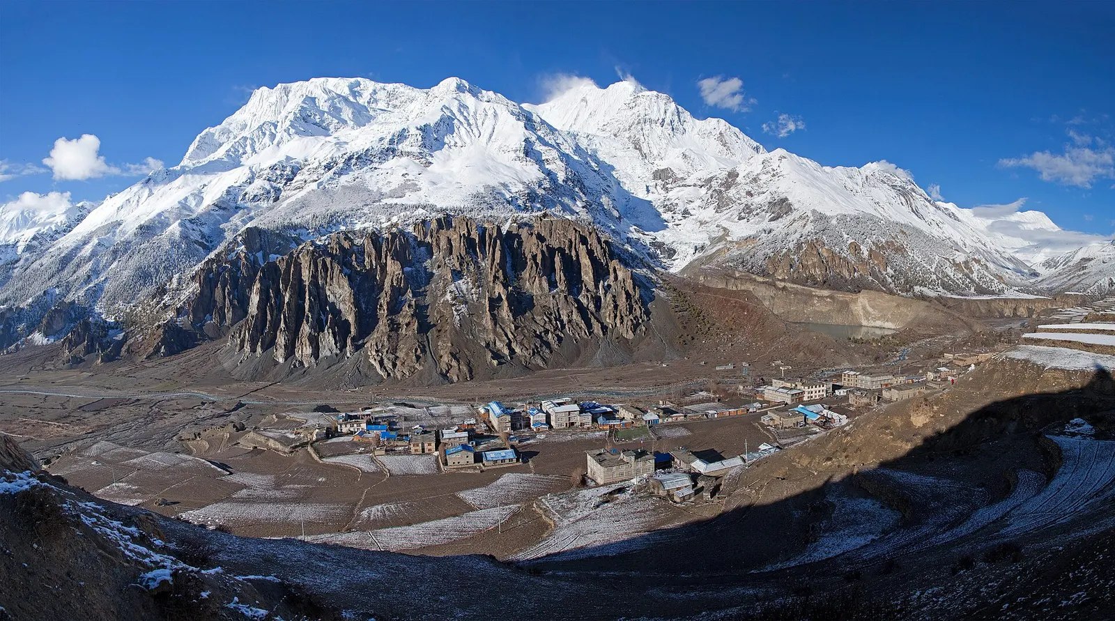
Town or village · 3,519 m
A high stone village in the upper Marsyangdi valley below Annapurna III and Gangapurna, where Circuit trekkers stop to acclimatise.