A restricted-area trek from Koto on the Annapurna Circuit into the high Tibetan Buddhist villages of Phu and Nar, crossing the Kang La (about 5,320 m) to Ngawal and Manang.
- Days
- 12 days
- Maximum altitude
- 5,320 m
- Difficulty
- Strenuous
Nar Phu Valleyमेता
A winter settlement on a high open shelf in the Nar Phu valley, usually the first overnight stop after Koto.
This is Meta in the Nar Phu valley of Manang, a trek stop, not other places or words spelled Meta.
Meta is a small settlement at about 3,560 m on an open plateau above the Nar Khola, in the restricted Nar Phu valley of Manang. It is the usual first night for trekkers who leave the Annapurna Circuit at Koto, reached after a long day through a forested gorge past waterfalls and the small camp at Dharmasala.
From Meta the views open up to Annapurna II and Lamjung Himal to the south and to the peaks of the Nar Phu valley to the north. The trail continues north past the old chortens and ruined settlements of Jhunam and Chyakhu towards Kyang and Phu, or branches west for Nar.
Meta has traditionally been used as a winter settlement by people of Nar, who bring their animals down from higher ground in the cold months. Its stone houses, chortens and mani walls reflect the Tibetan Buddhist culture of the valley, which was closed to foreigners until 2002. A few homes and lodges now take in trekkers in season, and most supplies are carried up from Koto.
Walk to the chortens of Jhunam and Chyakhu
Continue north the next day past groups of old chortens and abandoned settlements on the way to Kyang and Phu.
Short acclimatisation walk
Climb the slopes above the plateau in the afternoon for views, then return to sleep.
Forecast for 3,560 m. Conditions change fast in the mountains.
Weather data: MET Norway, licensed CC BY 4.0. A forecast, not a guarantee.
Mar-May, Oct-Nov
One or two basic lodges and homestays in season; some groups camp.
No partner stays are listed here yet. List a property.
Reached only on foot from Koto, on the restricted Nar Phu trail.
Nearest hub: Koto
Restricted-area permit
Meta lies in the restricted Nar Phu area of Manang: a restricted-area permit, arranged through a registered agency, is needed together with an ACAP permit. Restricted-area permits are issued only through a government-registered trekking agency, for trekkers with a licensed guide; a minimum group of two has long been required, and changes have been reported, so confirm the current rule.
Verify before travel: permit rules and fees change. Checked 2026-10-06 against Department of Immigration, Nepal: Trekking Route and Permit Fee.
On the Nar Phu valley trek.
A restricted-area trek from Koto on the Annapurna Circuit into the high Tibetan Buddhist villages of Phu and Nar, crossing the Kang La (about 5,320 m) to Ngawal and Manang.
About 6-8 hours through the Nar Khola gorge.
Yes, Meta is in the restricted Nar Phu area, so you need a restricted-area permit through a registered agency plus an ACAP permit.
About 3,560 m, a gain of nearly 1,000 m from Koto, so take it slowly.
Trek stop · 4,080 m
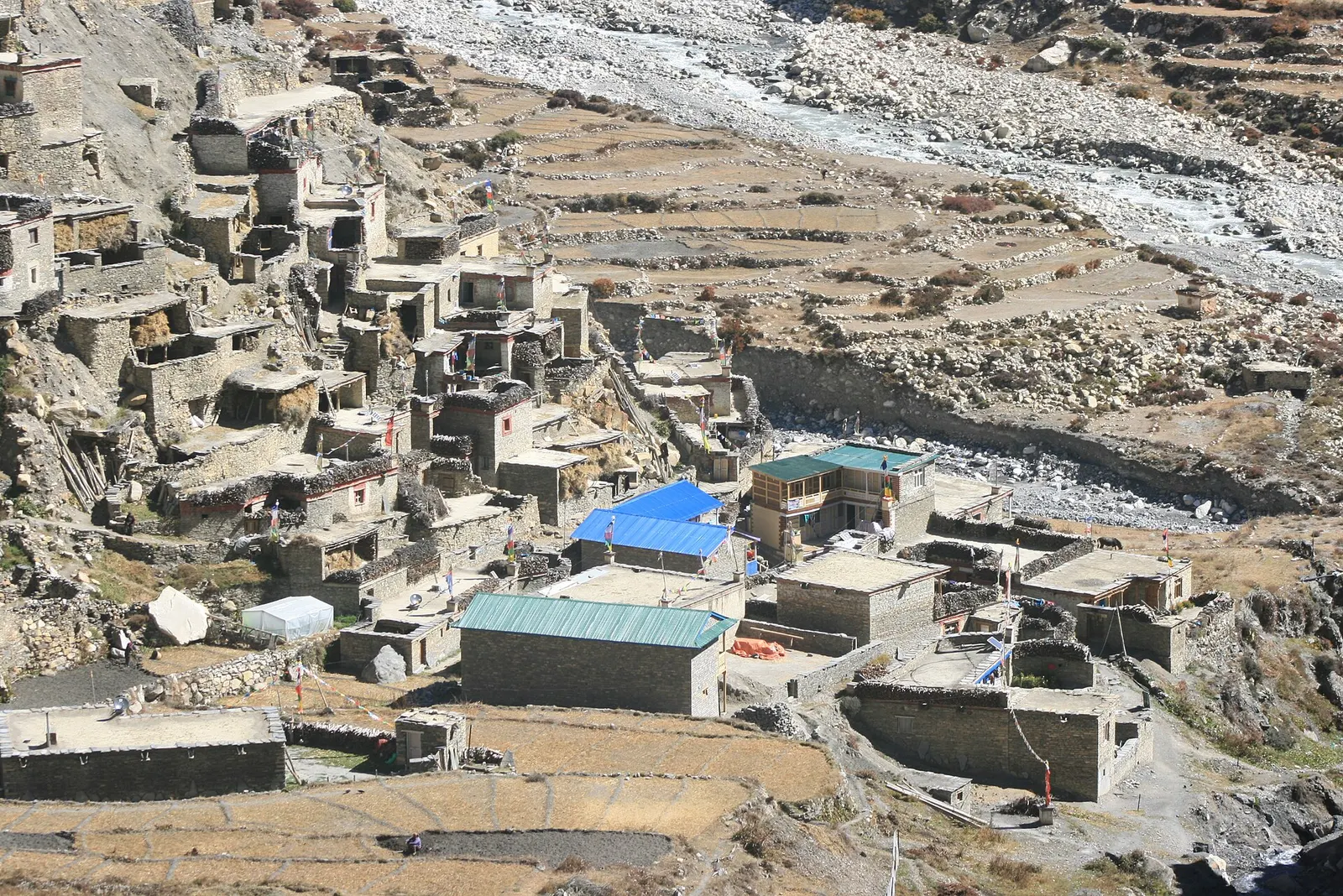
A high stone village near the head of the Nar Phu valley, reached through a fortress-like gateway above the Phu Khola.
Valley or region · 4,150 m
A restricted high valley north of the Annapurna Circuit, with two old Tibetan Buddhist villages, Nar and Phu, reached through a narrow gorge from Koto.
Trek stop · 2,600 m
A small village in pine and fir forest on the Annapurna Circuit, just below Chame, and the start of the trail into the Nar Phu valley.
Town or village · 3,519 m
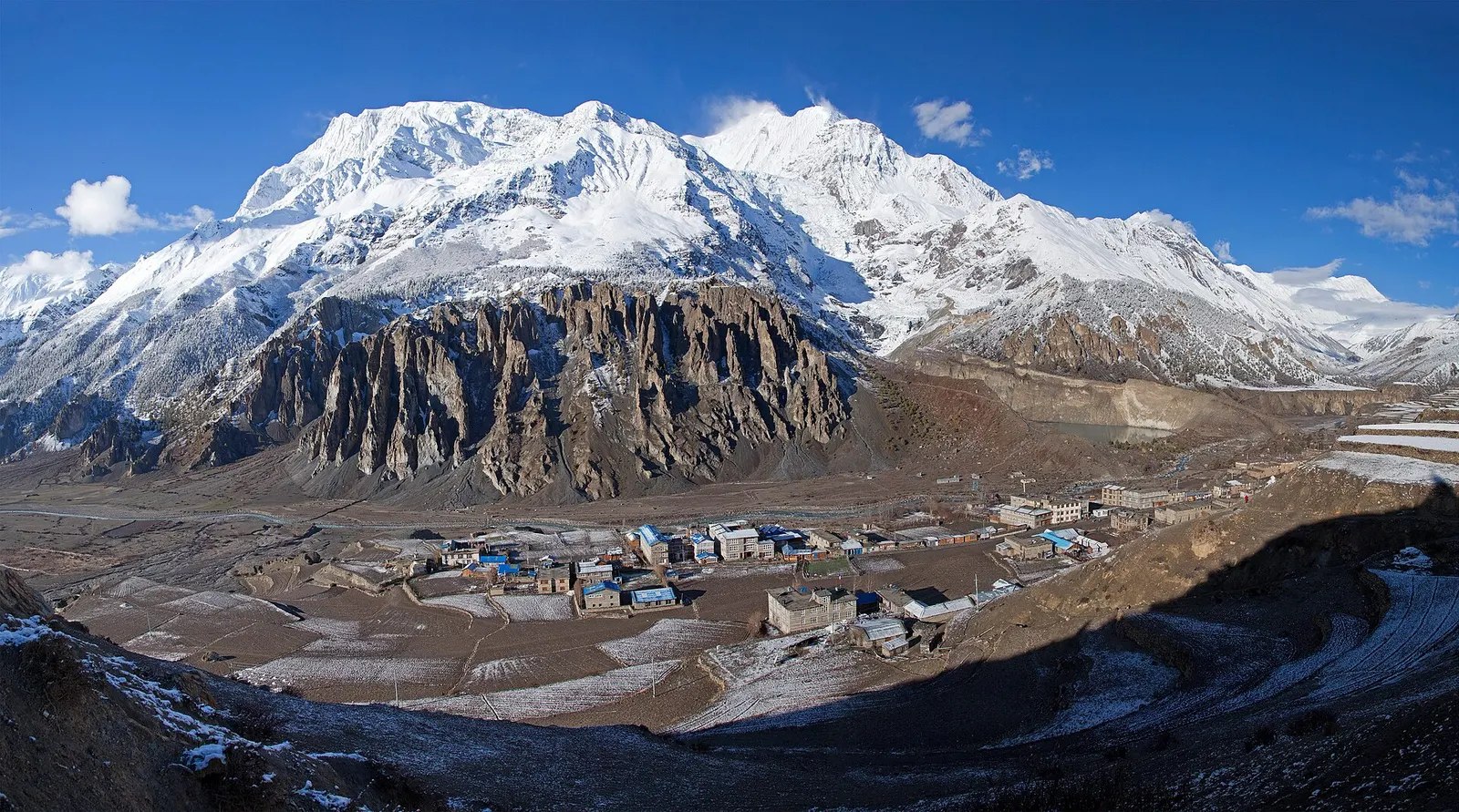
A high stone village in the upper Marsyangdi valley below Annapurna III and Gangapurna, where Circuit trekkers stop to acclimatise.