
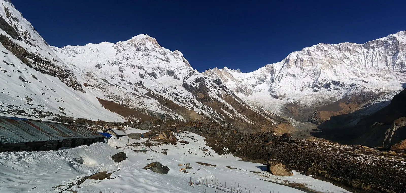
Trek stop · 4,130 m
Annapurna Base Camp
Lodges at about 4,130 m in the glacial basin of the Annapurna Sanctuary, below the south face of Annapurna I.
Gandaki Provinceकास्की
Pokhara, Phewa Tal and the Annapurna Sanctuary: Nepal's main lake and trekking hub beneath Machhapuchhre.
Kaski runs from the Pokhara valley, at a comfortable middle-hill elevation, straight up to the Annapurna range, with Machhapuchhre rising almost directly above the city. The Seti Gandaki flows through a deep gorge across Pokhara, and the valley holds Phewa Tal, Begnas Lake and Rupa Lake. Myagdi and Parbat lie to the west, Lamjung to the east, Syangja and Tanahun to the south, and Manang and Mustang beyond the mountains.
Pokhara is the province capital and the base for most visitors, with lakeside walks, boating to the Tal Barahi Temple and paragliding from Sarangkot. In the hills, Gurung villages such as Ghandruk and Landruk combine farming with trekking trade. Travellers come for the Annapurna Base Camp and Mardi Himal treks, short walks to Dhampus and Australian Camp, the World Peace Pagoda, and caves and falls such as Gupteshwor Mahadev Cave and Davis Falls.
Trek stop · 4,130 m
Lodges at about 4,130 m in the glacial basin of the Annapurna Sanctuary, below the south face of Annapurna I.
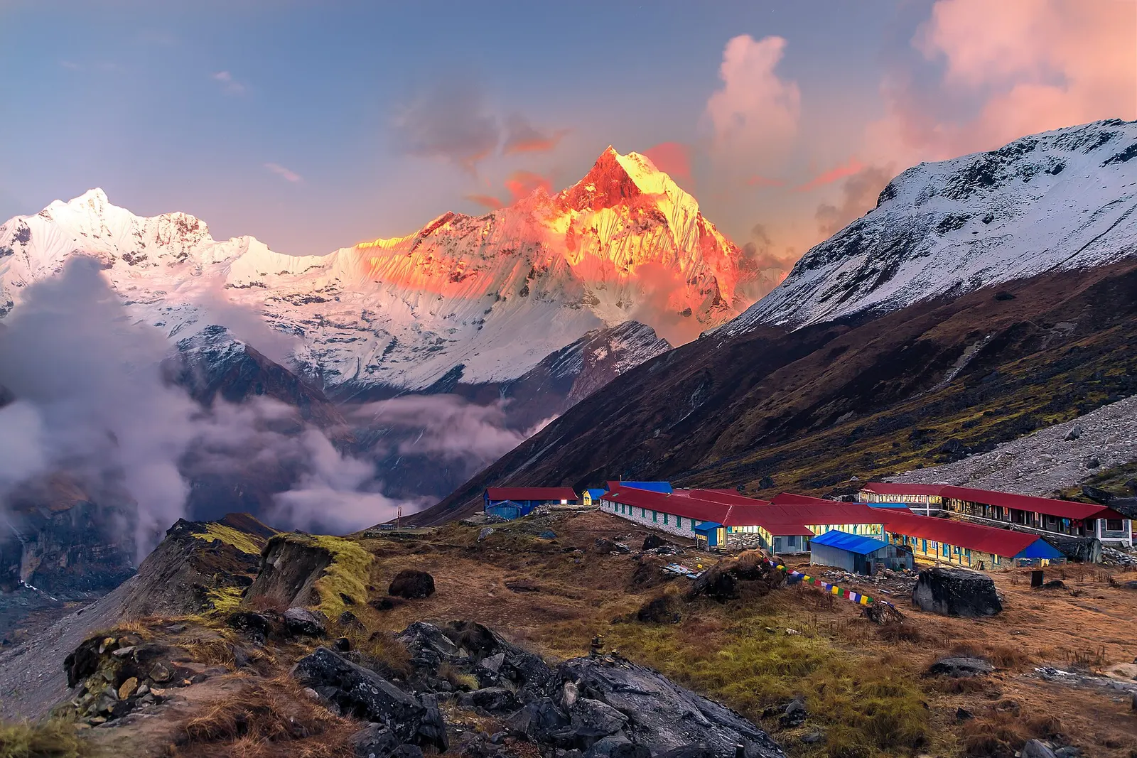
National park or conservation area
Nepal's largest protected area, from Gurung hill villages and rhododendron forest to the dry valleys behind the Annapurna range.
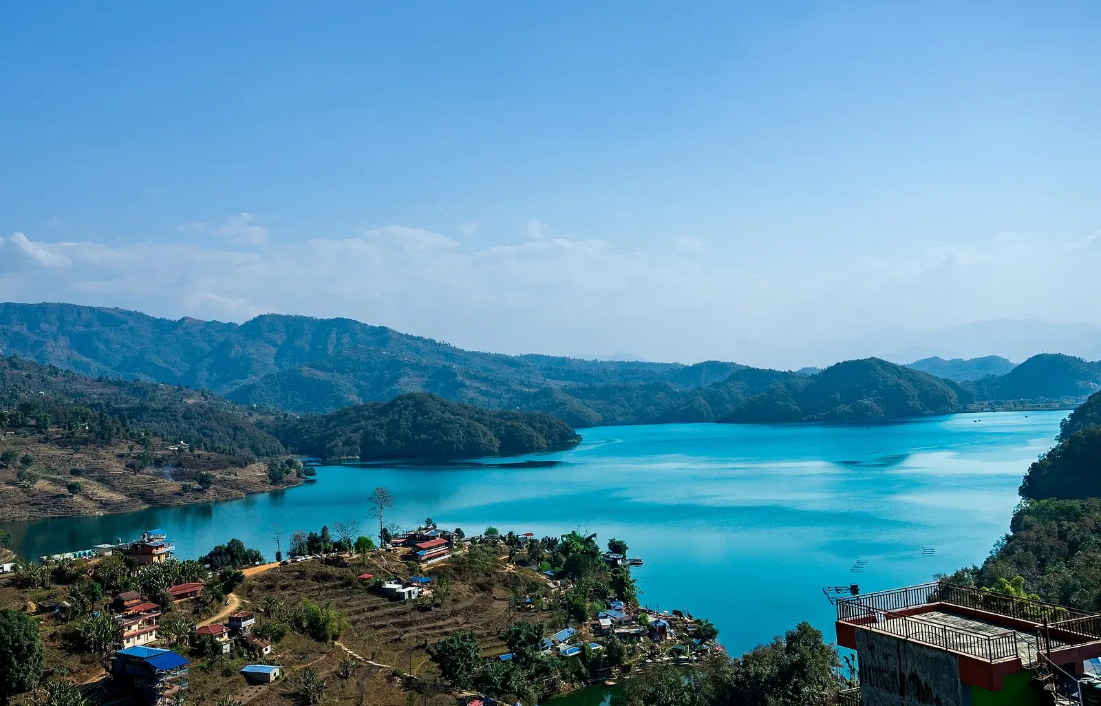
Lake · 650 m
A quieter freshwater lake in the east of the Pokhara valley, ringed by forested ridges, rice terraces and fish farms.
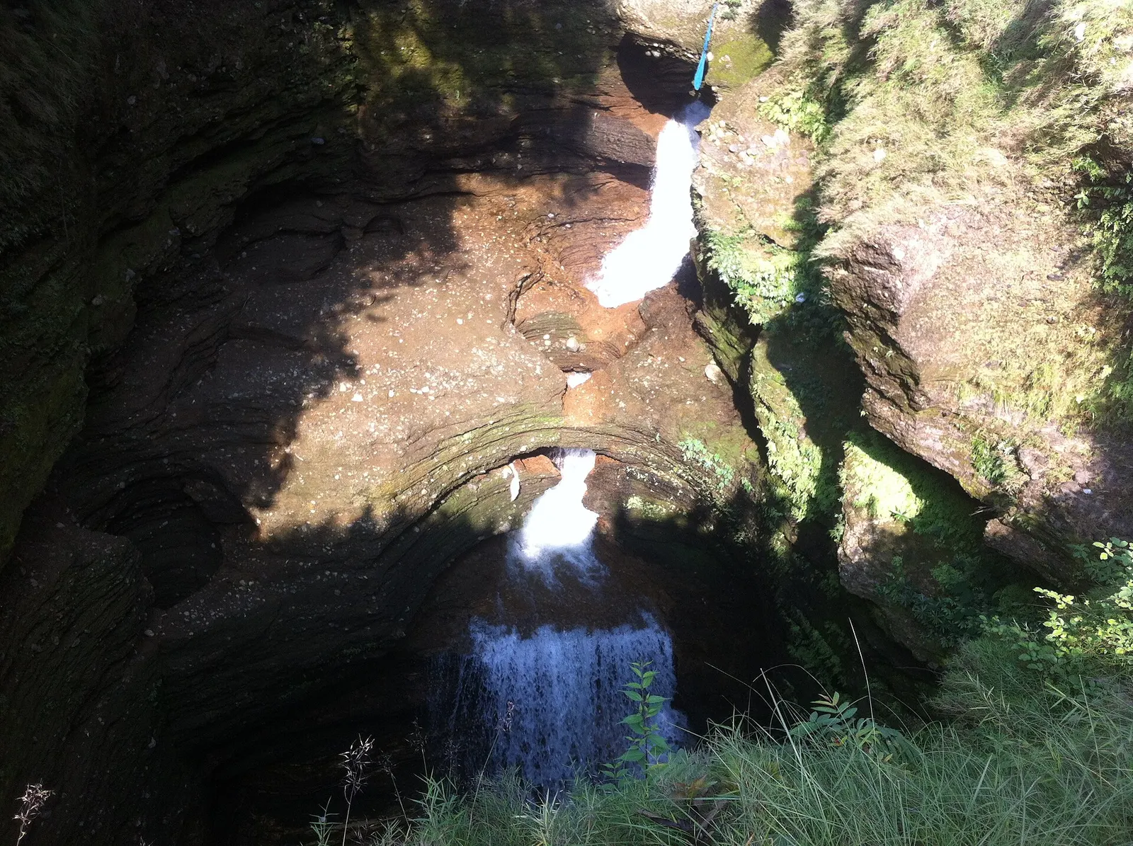
Viewpoint · 780 m
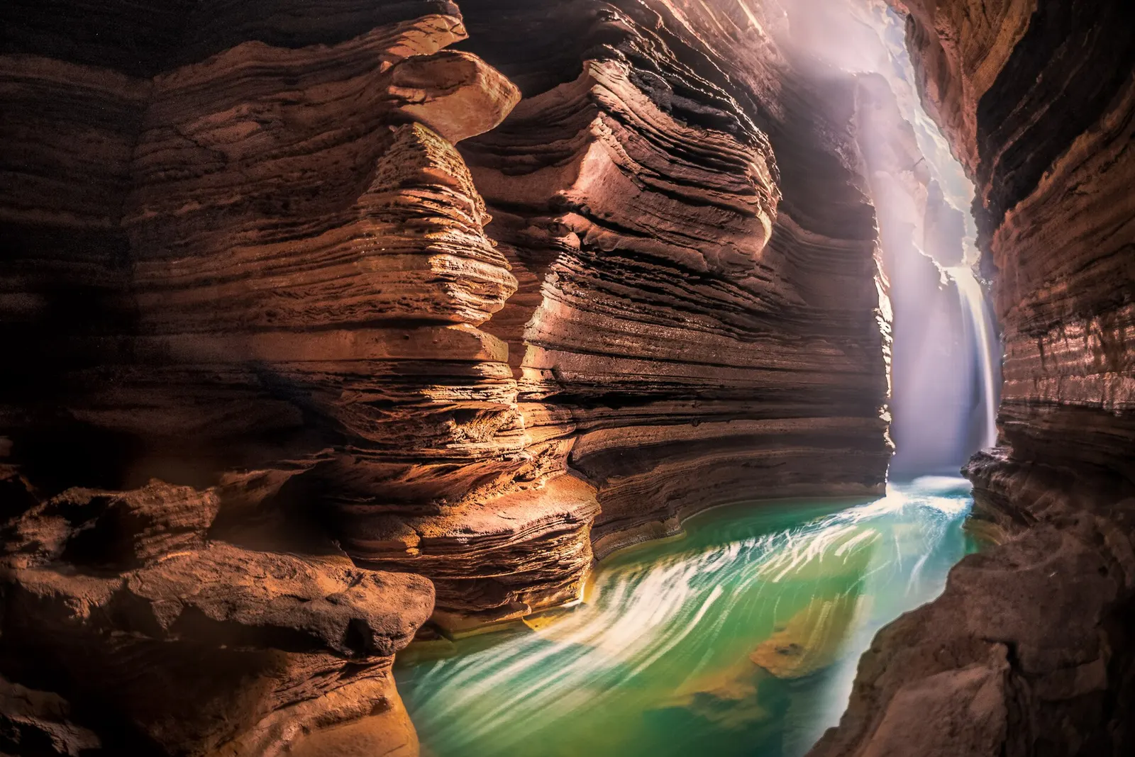
A waterfall in south Pokhara where the outflow of Phewa Tal drops into a narrow chasm and disappears underground.
Temple, monastery or heritage site · 778 m
A Shiva cave shrine in south Pokhara, with a lower passage that ends behind the falling water of Davis Falls.
Temple, monastery or heritage site · 797 m
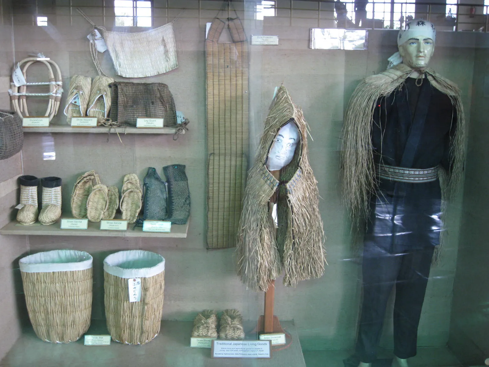
A museum in south Pokhara on the Himalaya's peaks, the people who climb them and the communities who live among them.
Lake · 2,546 m
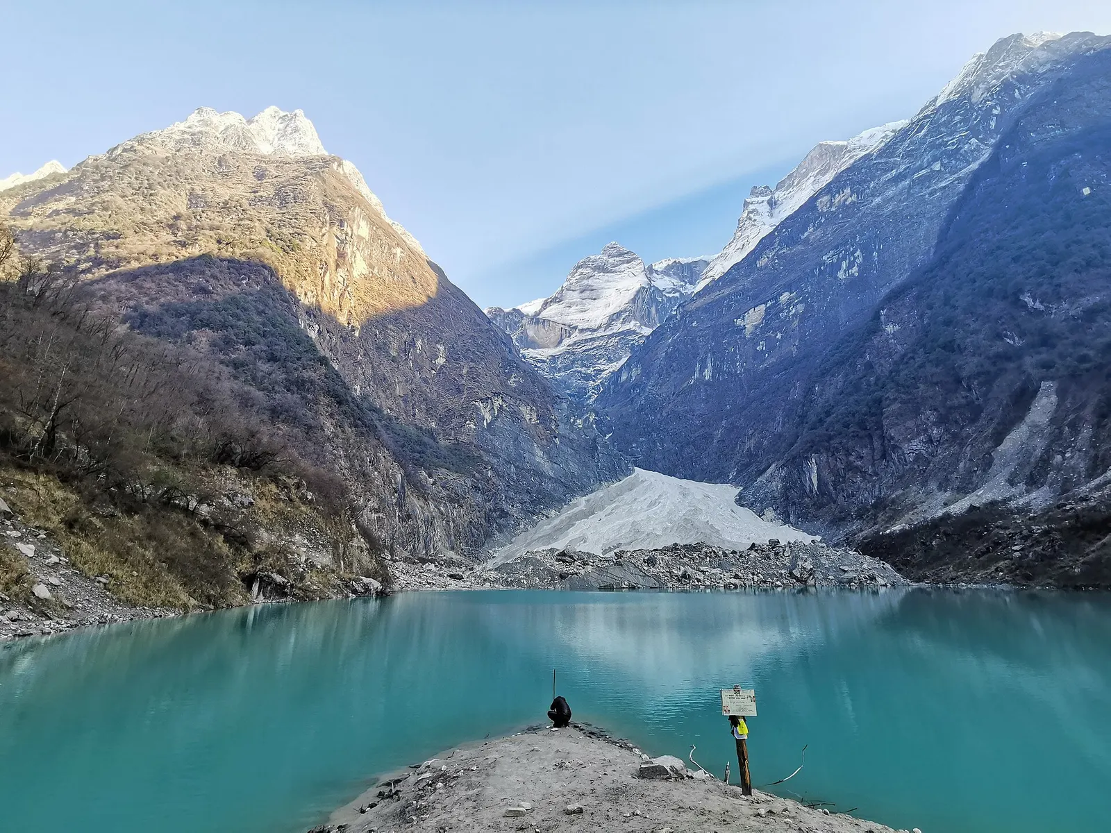
A glacier lake at about 2,546 m beneath Annapurna II and Lamjung Himal, reached by a short trek from the Gurung village of Sikles.
Viewpoint · 2,517 m
A forested hill at about 2,500 m west of Phewa Tal, with a temple and pond on top and views of the Annapurna and Dhaulagiri ranges.
Lake · 742 m
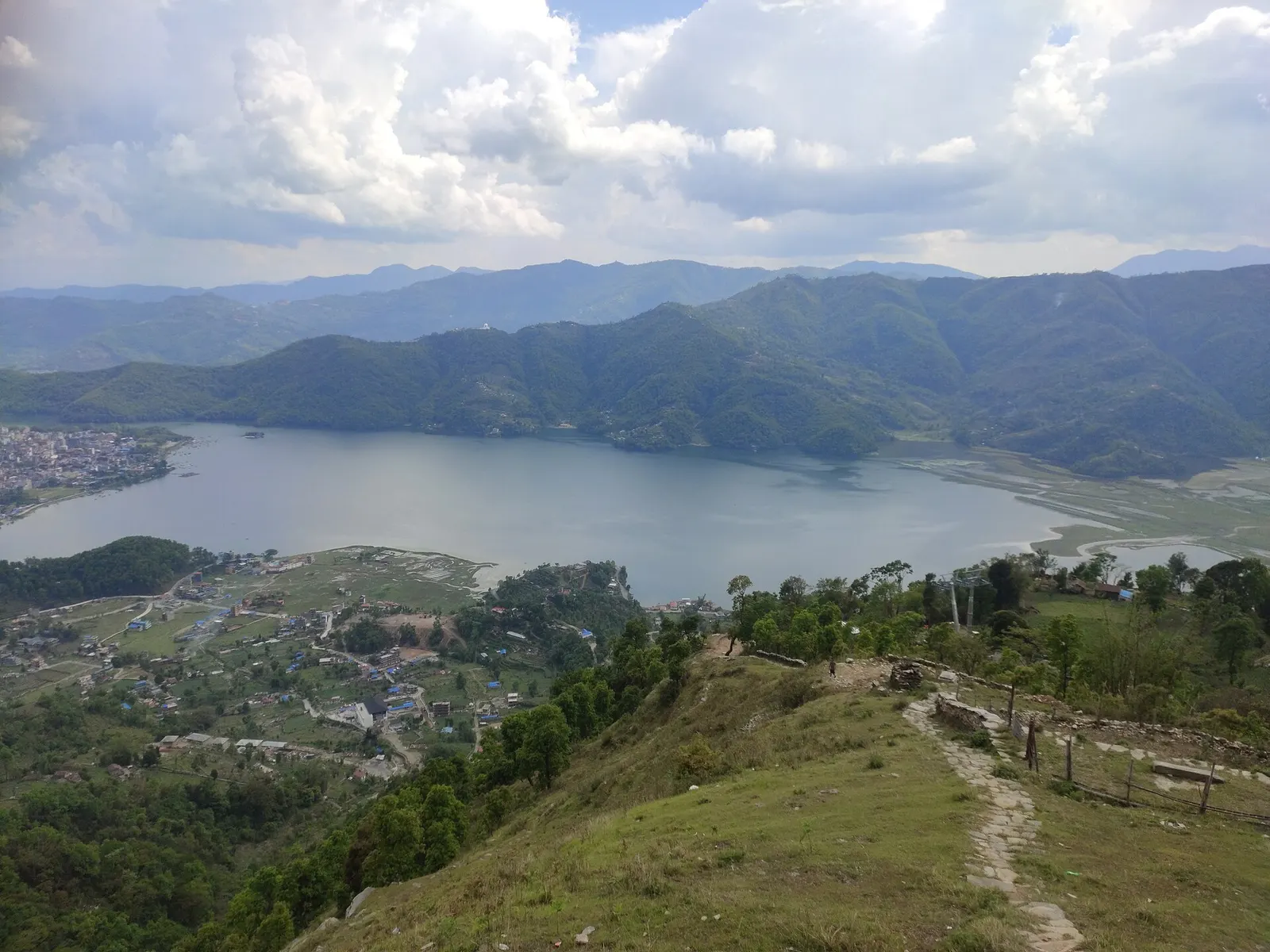
Pokhara's main lake, with rowing boats, an island temple and Machhapuchhre reflected on still mornings.
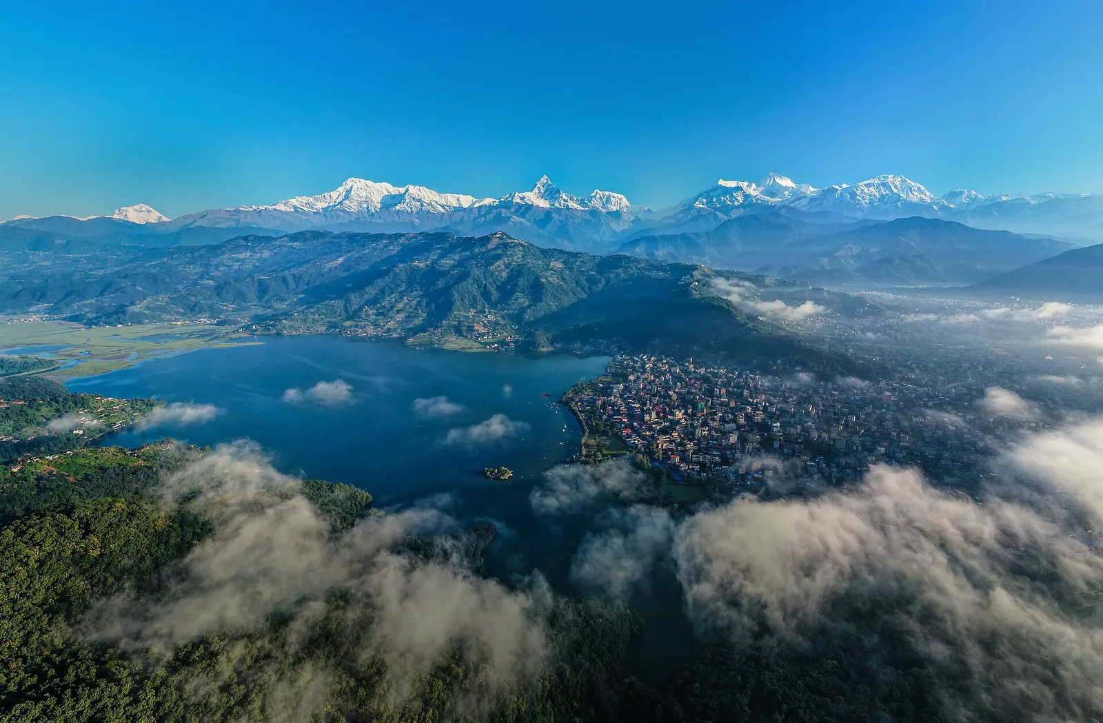
Town or village · 822 m
A lakeside city about 200 km west of Kathmandu, with the Annapurna range and Machhapuchhre rising close to the north.
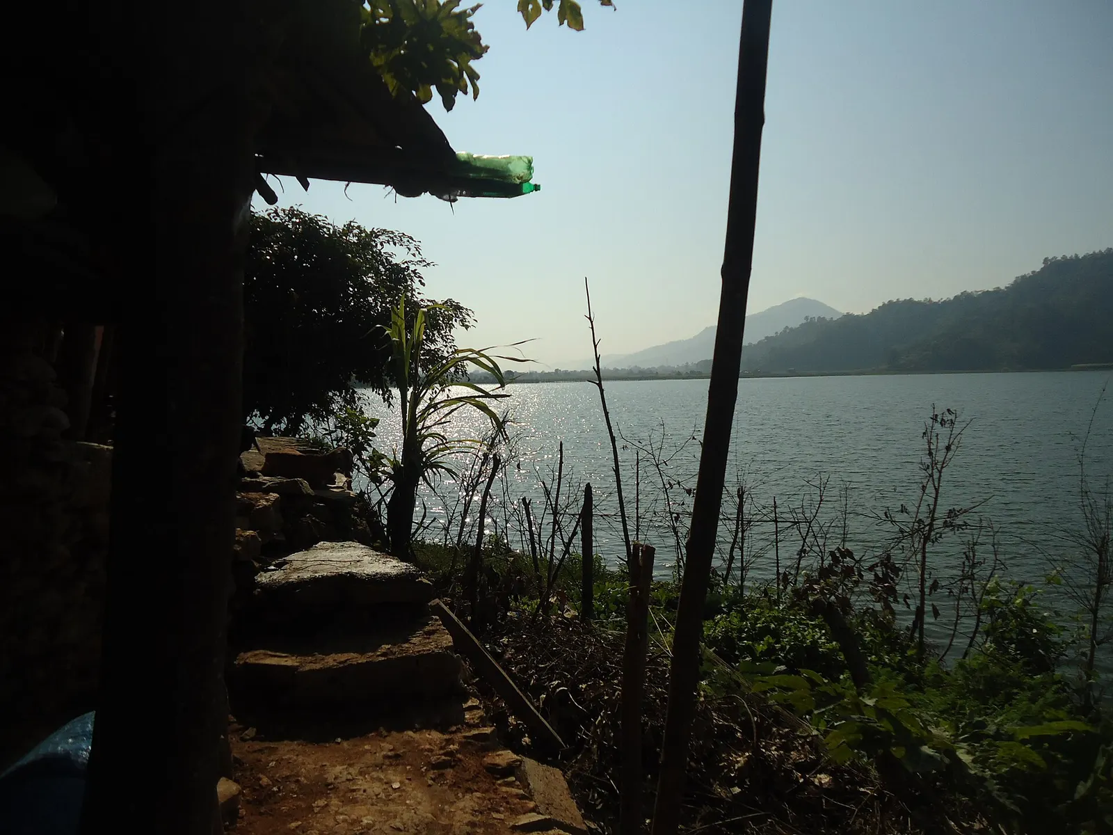
Lake · 600 m
A small, shallow lake beside Begnas in the east of the Pokhara valley, managed by a local fisheries cooperative and rich in waterbirds.
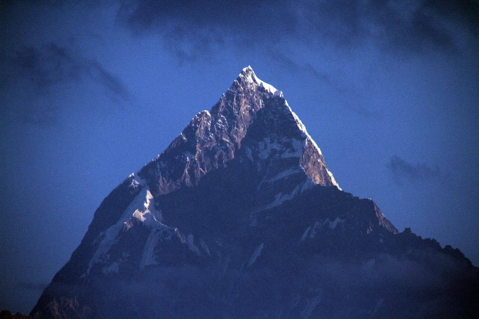
Viewpoint · 1,600 m
A ridge-top viewpoint on Pokhara's western edge, known for sunrise over the Annapurnas and as the city's paragliding launch.
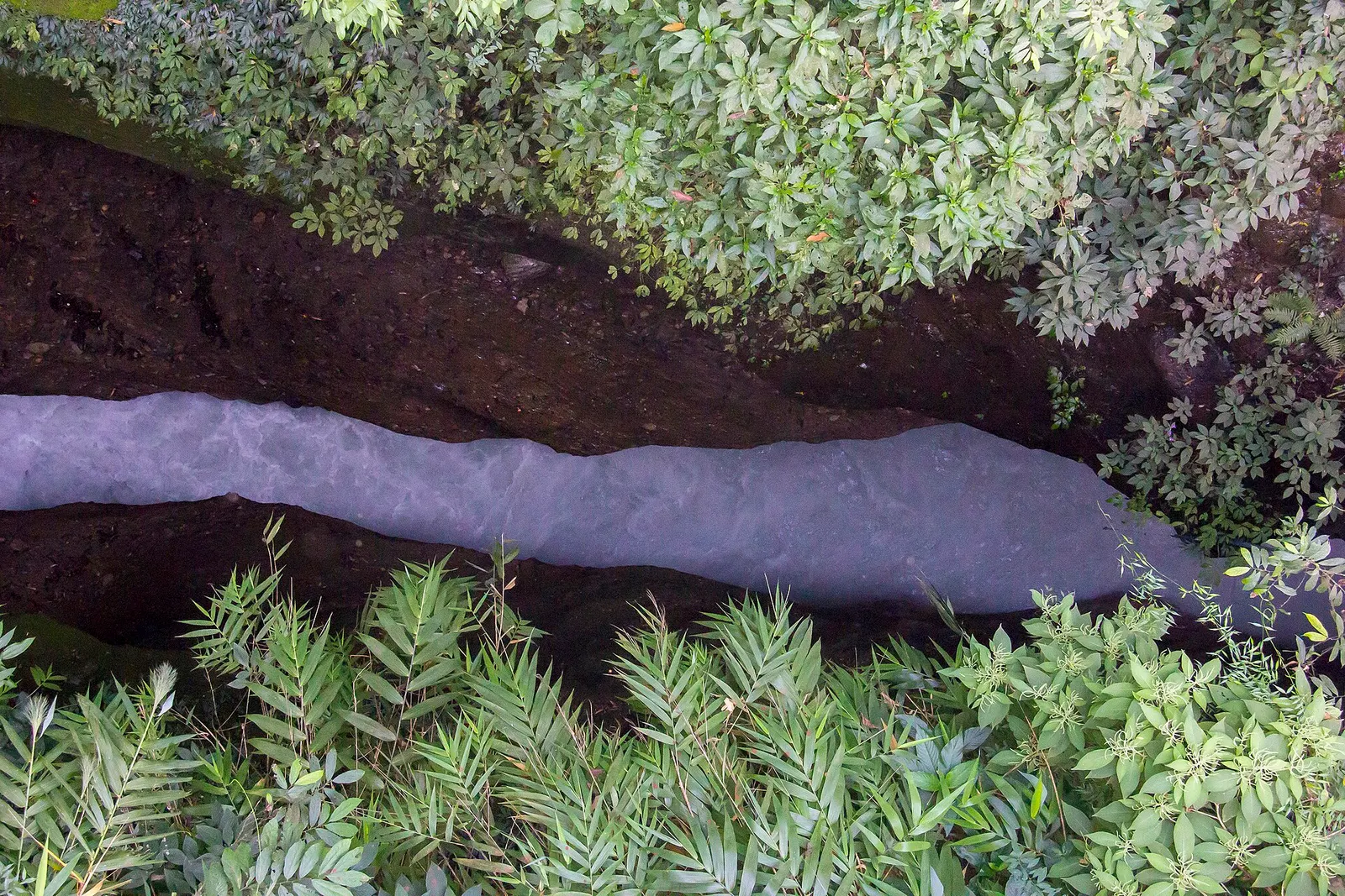
Viewpoint · 923 m
A narrow canyon where the milky-white Seti Gandaki runs deep below the streets of Pokhara, best seen from the city's bridges.
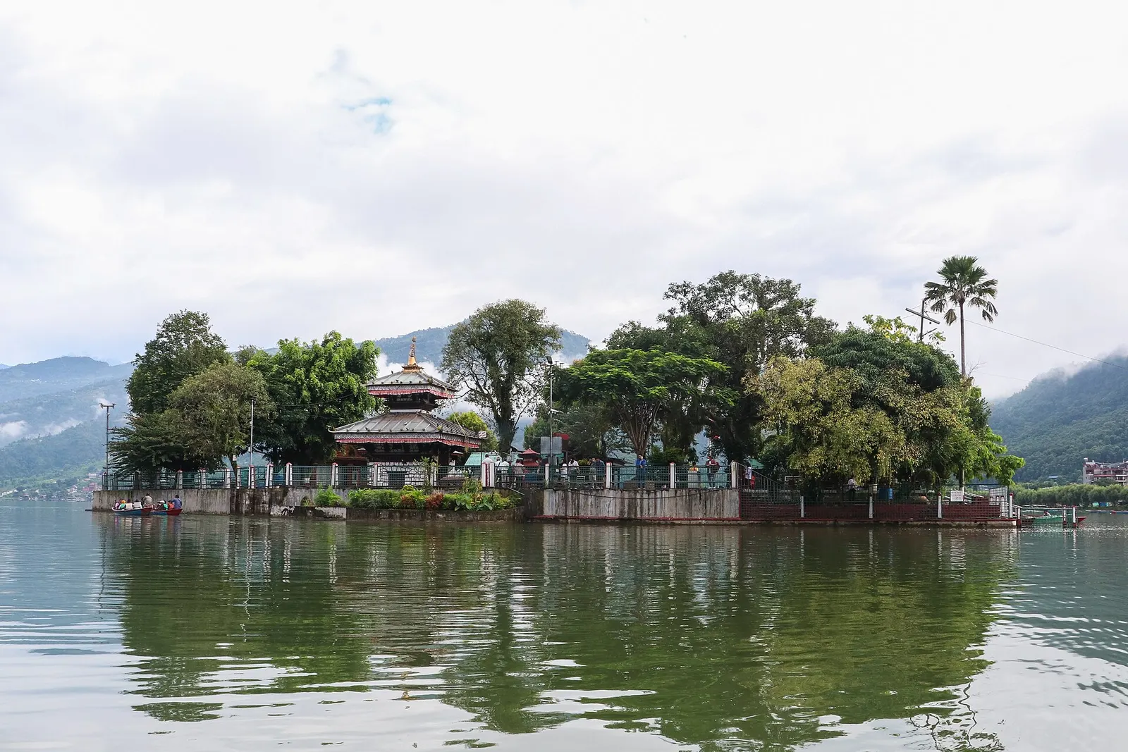
Temple, monastery or heritage site · 742 m
A small two-tiered pagoda temple to the goddess Barahi on a wooded island in Phewa Tal, reached only by boat.
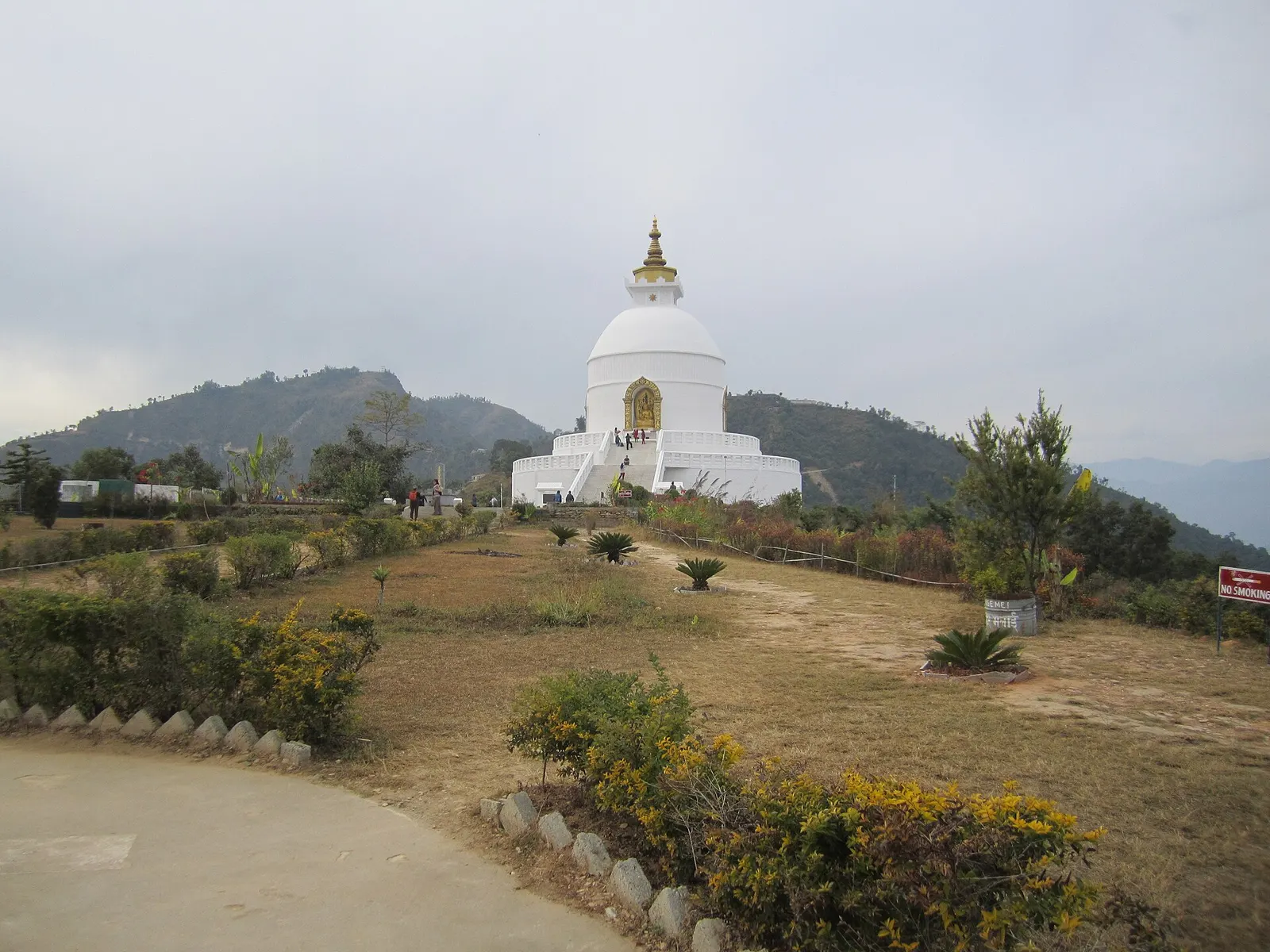
Temple, monastery or heritage site · 1,100 m
A white Buddhist peace stupa on Anadu Hill, looking over Phewa Tal and Pokhara to the Annapurna range.
Pokhara has an international airport with frequent domestic flights from Kathmandu. By road it lies on the Prithvi Highway, generally a full day's drive from Kathmandu, and is also linked south to Butwal by the Siddhartha Highway. Trailheads such as Nayapul, Phedi and Kande are a short drive from the city.
Autumn gives the clearest mountain views and spring brings rhododendrons; Pokhara is one of the wettest places in Nepal in the monsoon, while winter is mild in the valley and cold and snowy higher up.
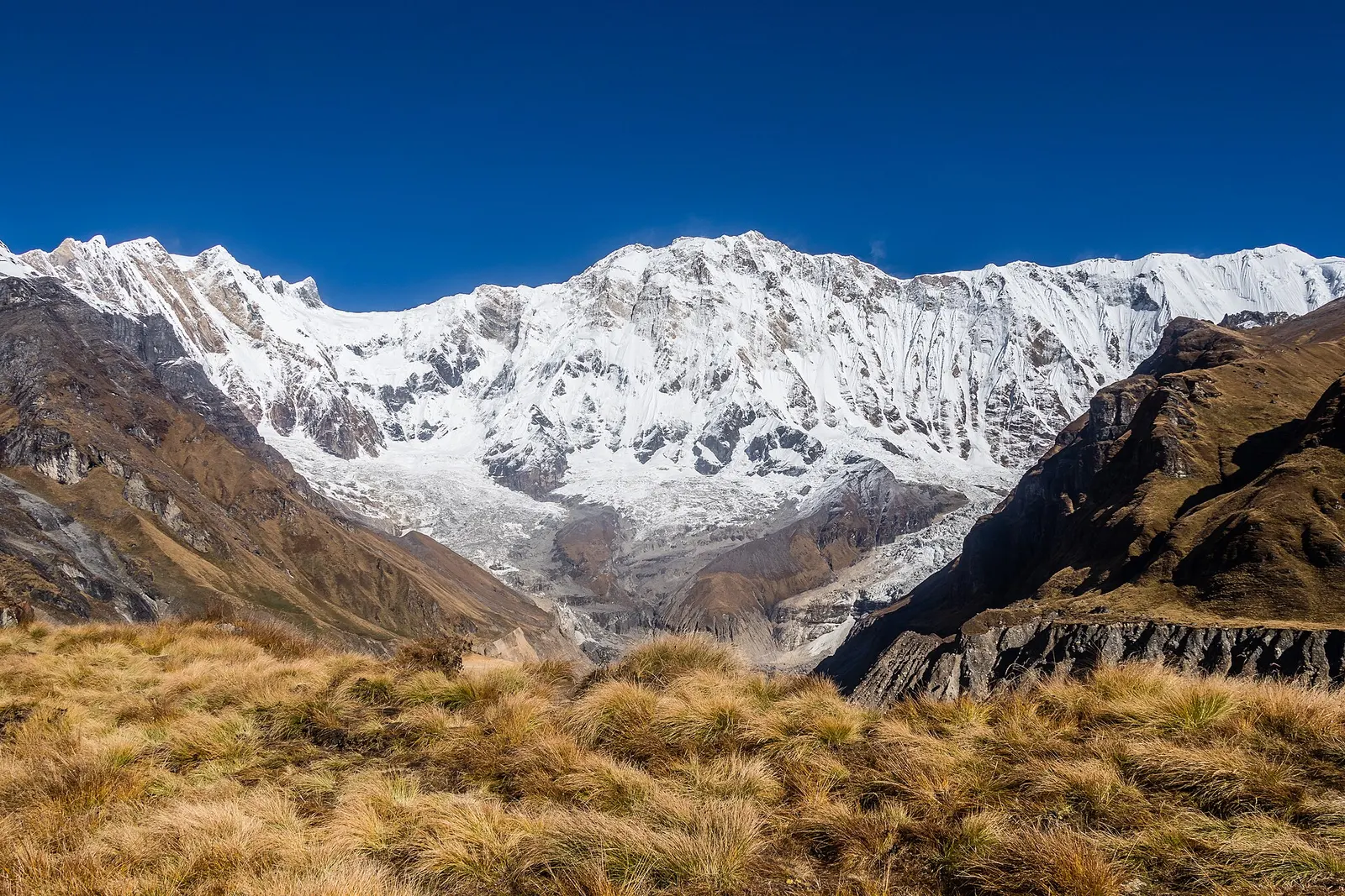
A teahouse trek from the road heads north of Pokhara through Gurung villages and the bamboo forest of the Modi Khola gorge into the Annapurna Sanctuary, to Annapurna Base Camp at about 4,130 m.
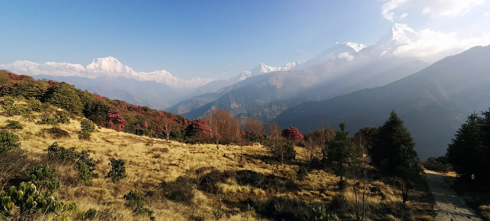
A short teahouse loop from Pokhara through Magar and Gurung villages and rhododendron forest to Ghorepani and the Poon Hill viewpoint (3,210 m), returning via Tadapani and Ghandruk.
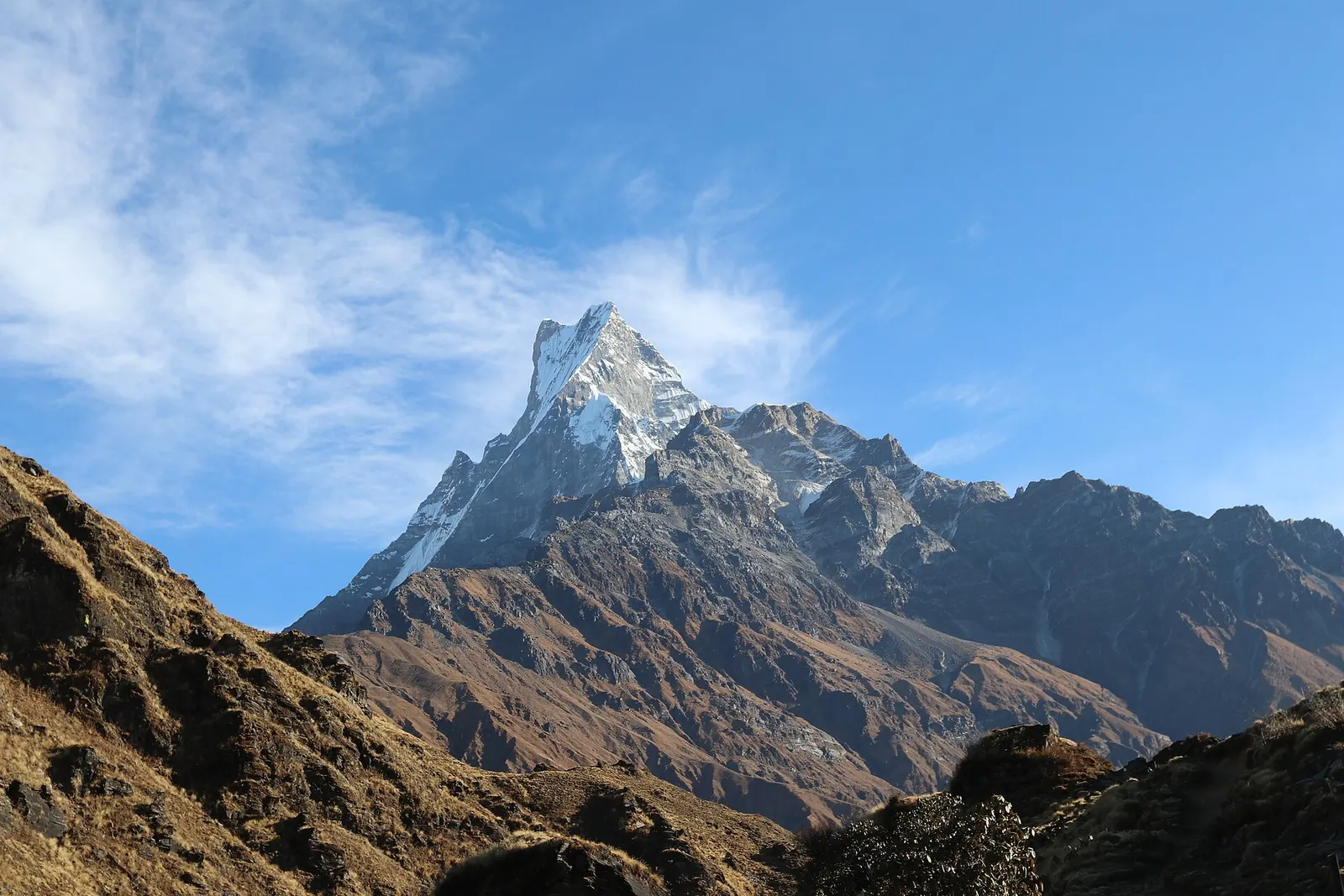
A ridge trek from Kande near Pokhara through rhododendron forest to the open crest below Machhapuchhre, with a day climb to Mardi Himal Base Camp at about 4,500 m.
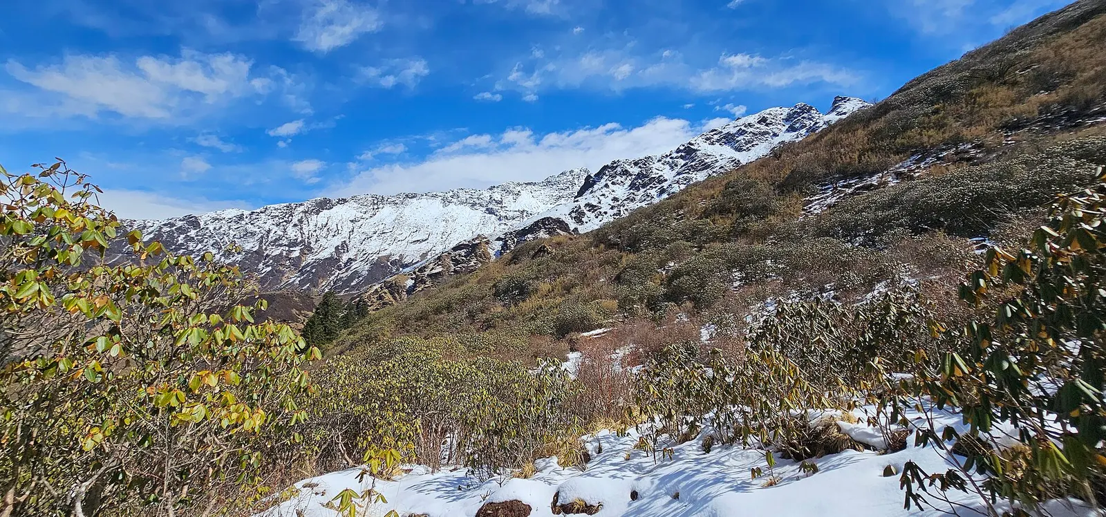
A quieter loop west of the Annapurna Sanctuary from Ghandruk via Tadapani, Dobato and Khopra Ridge (about 3,660 m) to Swanta, Ghorepani and Poon Hill, with an optional hike to Khayer Lake.
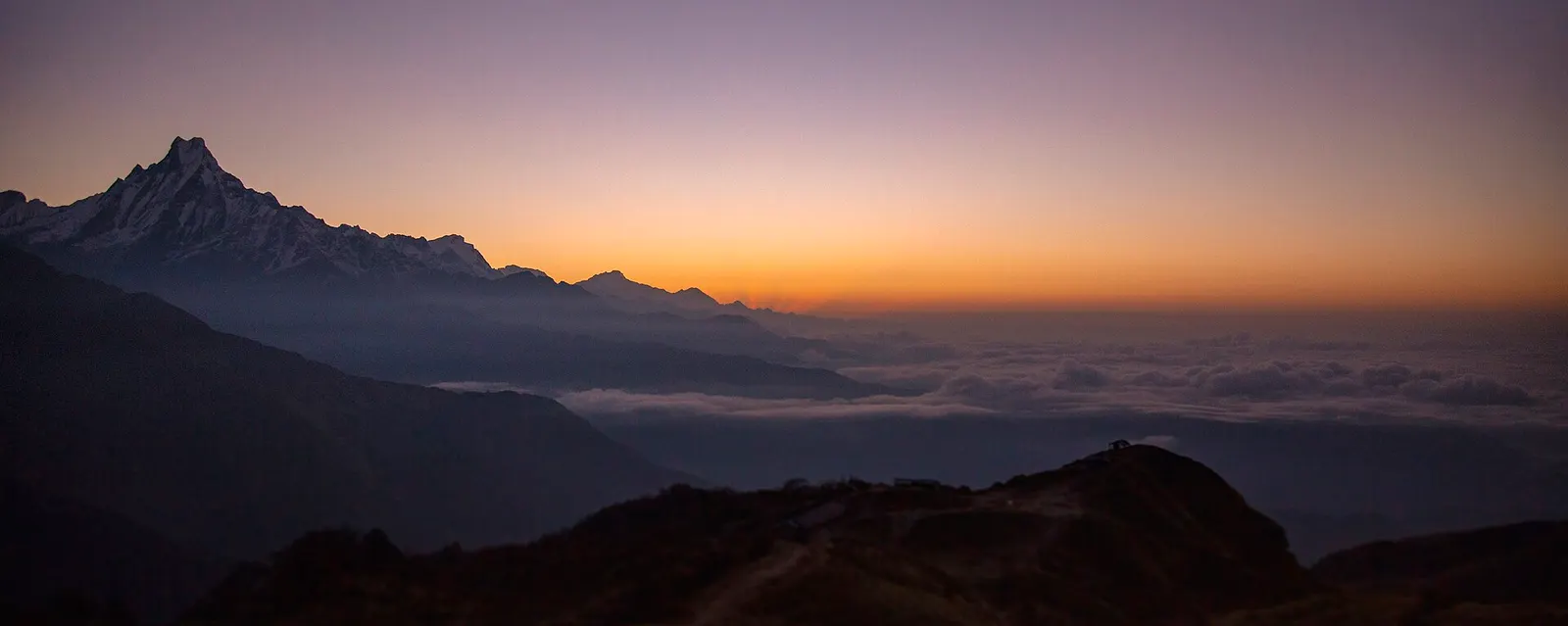
A four-day loop from Pokhara via Ghandruk, Tadapani and Dobato to the Muldai viewpoint (about 3,637 m) for sunrise, returning over Ghorepani and Poon Hill.
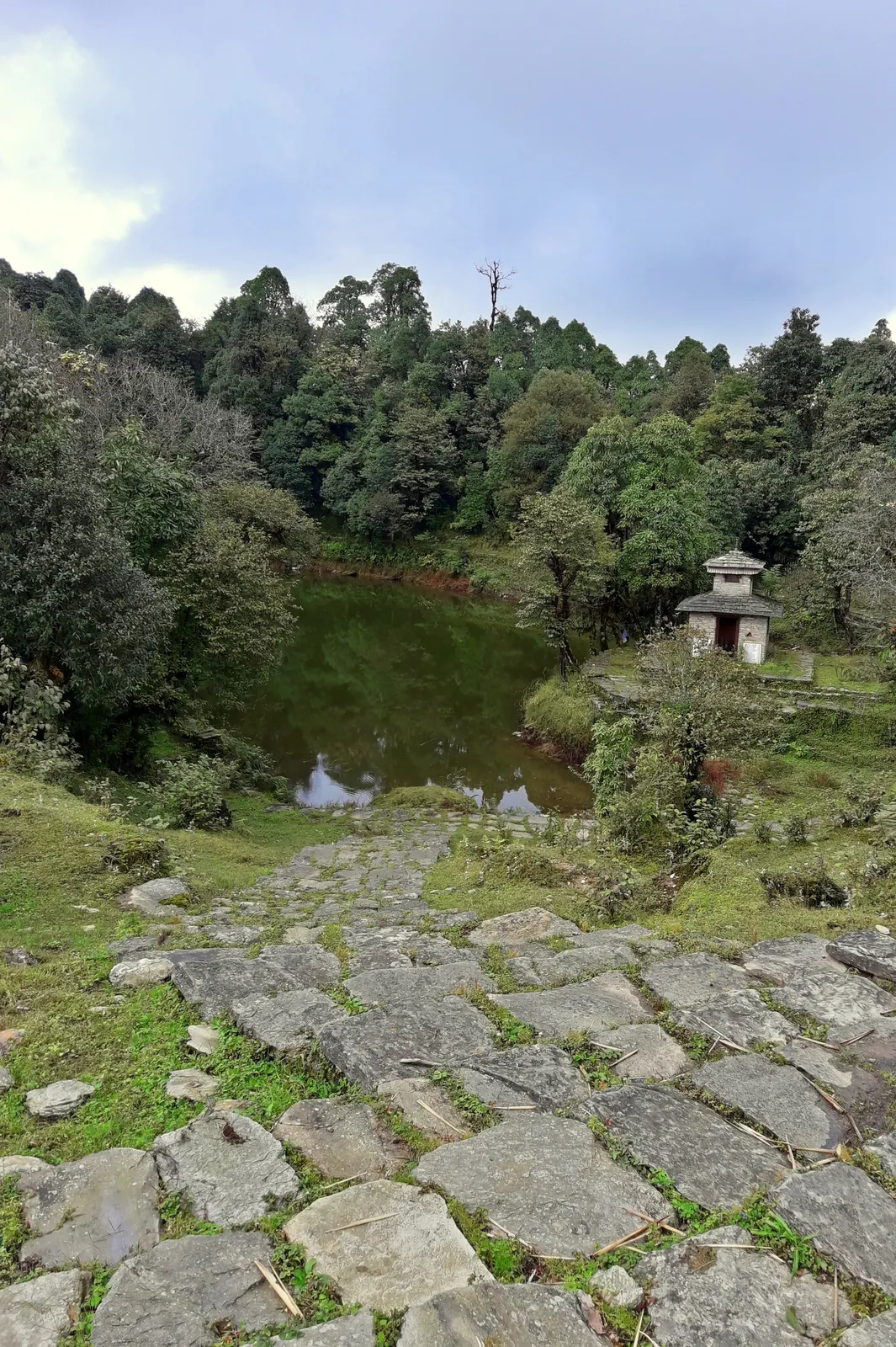
A two- to three-day walk from Pokhara to Panchase (about 2,517 m), a forested hill with a temple and pond west of Phewa Tal, with views of Dhaulagiri, the Annapurnas and Machhapuchhre.
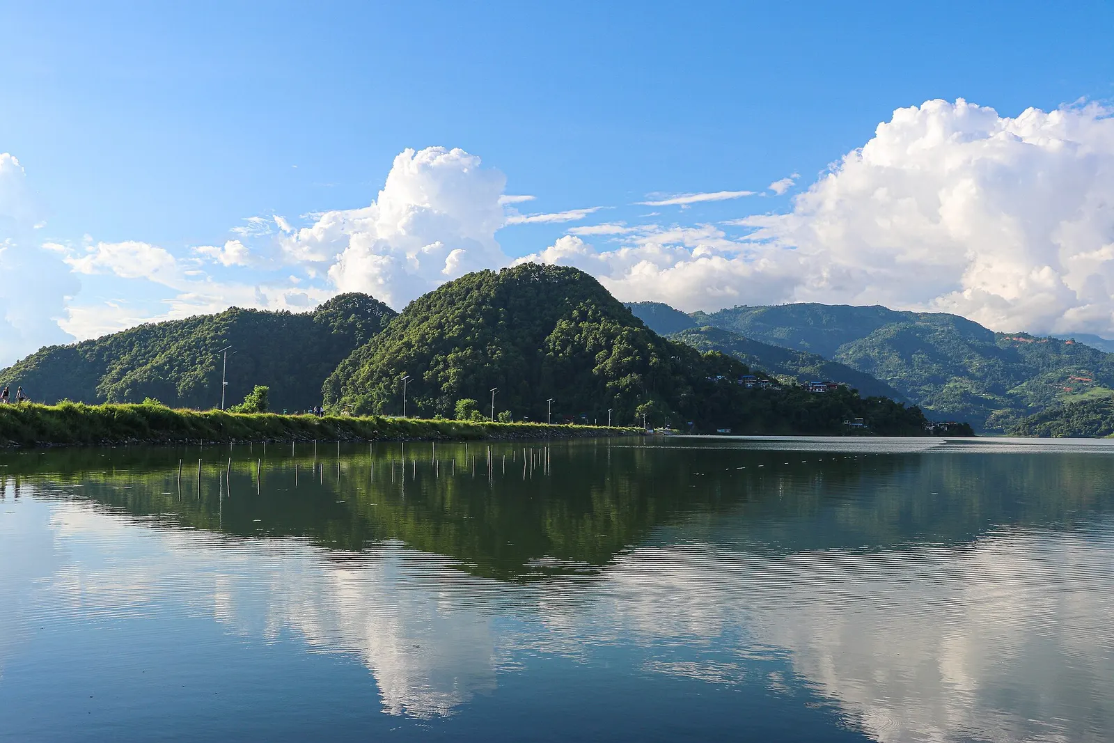
A low, short village walk in the hills east of Pokhara, via Kalikasthan, Syaklung and Chisapani to Begnas Lake, named after a 1980 trek by the then Prince Charles.