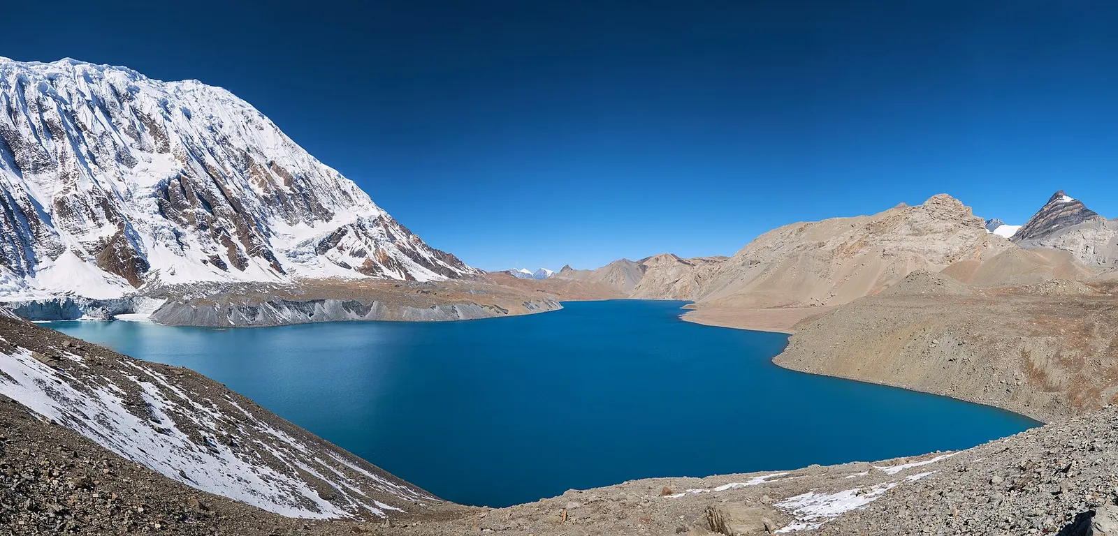
A teahouse journey around the Annapurna massif, from the green Marsyangdi valley through Manang and over the Thorong La (5,416 m) to Muktinath and the dry Kali Gandaki valley.
- Days
- 11 days
- Maximum altitude
- 5,416 m
- Difficulty
- Strenuous
Manangचामे
The district headquarters of Manang, a road-head town in fir and pine forest where most Annapurna Circuit trekkers spend a night.
This is Chame, the headquarters of Manang district on the Annapurna Circuit, not Chame in Panama.
Chame is the administrative centre of Manang district, set on the Marsyangdi river at about 2,650-2,710 m in forest of fir and pine. On the Annapurna Circuit it is usually the first or second overnight stop for trekkers who start walking at Dharapani, and many jeeps now drive this far, so some people begin their trek here.
The town is long and spread along the road, with government offices, a health post, shops, a police post and an ACAP checkpoint. Annapurna II and Lamjung Himal can be seen above the valley on clear mornings, and small hot springs lie by the river near the bridge. Koto, the start of the Nar Phu trail, is about half an hour down the valley, and Upper Pisang is a day's walk further up.
Chame lies in Chame Rural Municipality and grew as the seat of the district administration. Its population mixes Gurung and Tibetan-heritage Manangi families with people from lower Nepal who work in offices, shops and lodges. Prayer walls and chortens mark the trail through the town, and Buddhist rituals sit alongside the Hindu customs of many incomers. The 2015 earthquake damaged buildings and roads here, and the extension of the jeep road up the valley has since changed the pace of life.
Soak at the riverside hot springs
Small natural hot pools lie close to the river near the bridge; check that they are open and clean before planning on them.
Stock up before the high valley
Shops sell snacks, batteries and basic gear; prices rise and choice shrinks further up.
Forecast for 2,670 m. Conditions change fast in the mountains.
Weather data: MET Norway, licensed CC BY 4.0. A forecast, not a guarantee.
Mar-May, Oct-Nov
Many trekking lodges along the main street; rooms are simple, with hot showers in most.
No partner stays are listed here yet. List a property.
Drive to Besisahar, then continue by jeep up the Marsyangdi valley, or walk up the Annapurna Circuit from Dharapani in a day.
Nearest hub: Pokhara
Permit required
Inside the Annapurna Conservation Area, so an ACAP permit is required.
Verify before travel: permit rules and fees change. Checked 2026-10-06 against National Trust for Nature Conservation (ACAP).
On the Annapurna Circuit, Tilicho Lake trek.
A teahouse journey around the Annapurna massif, from the green Marsyangdi valley through Manang and over the Thorong La (5,416 m) to Muktinath and the dry Kali Gandaki valley.
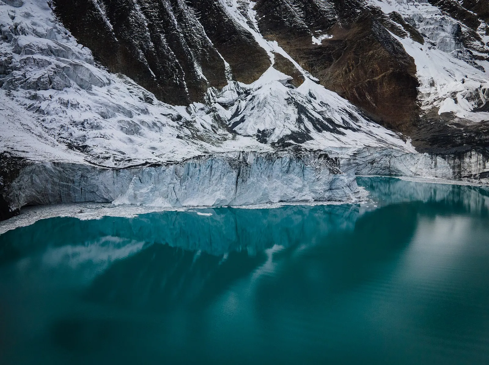
A side trek from Manang on the Annapurna Circuit to Tilicho Lake (about 4,919 m), a glacier-fed lake below Tilicho Peak, via Khangsar, Shree Kharka and Tilicho Base Camp.
Take a bus or jeep to Besisahar, then a jeep up the Marsyangdi valley (roughly 5-8 hours), or walk about 5-6 hours from Dharapani.
About 2,650-2,710 m depending on the source. Altitude problems are uncommon here but possible higher up the valley.
Yes, an ACAP permit, as Chame is inside the Annapurna Conservation Area. Check whether a TIMS card is currently required.
Valley or region · 4,150 m
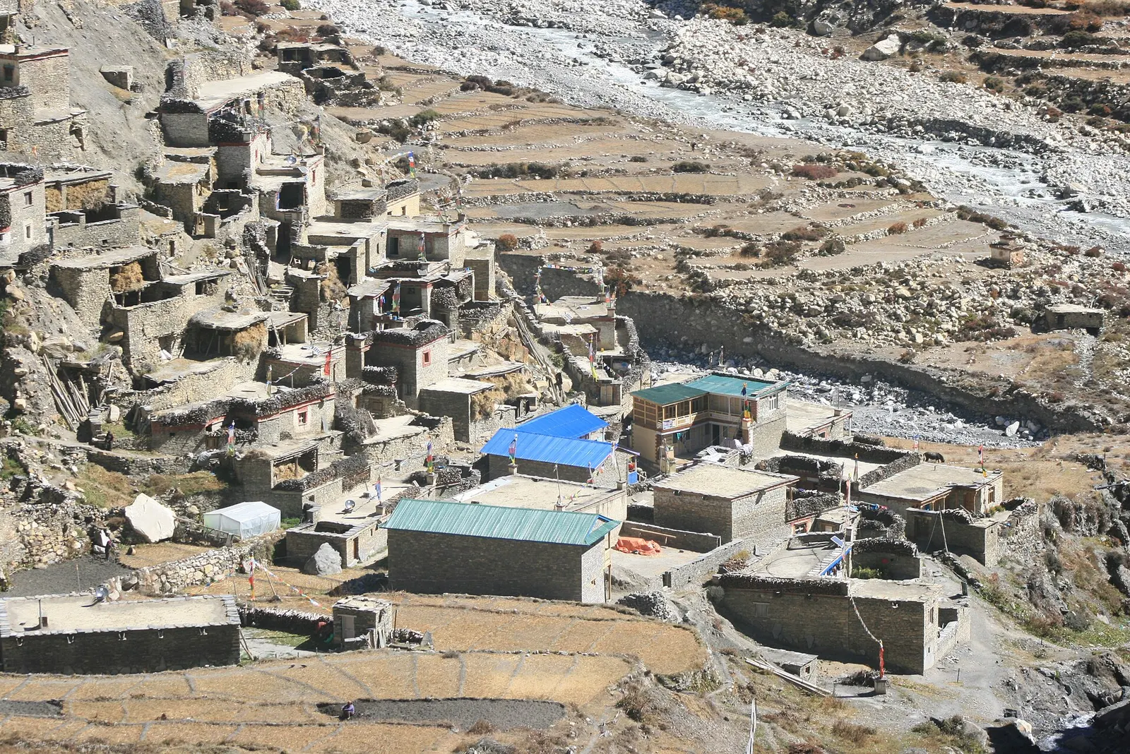
A restricted high valley north of the Annapurna Circuit, with two old Tibetan Buddhist villages, Nar and Phu, reached through a narrow gorge from Koto.
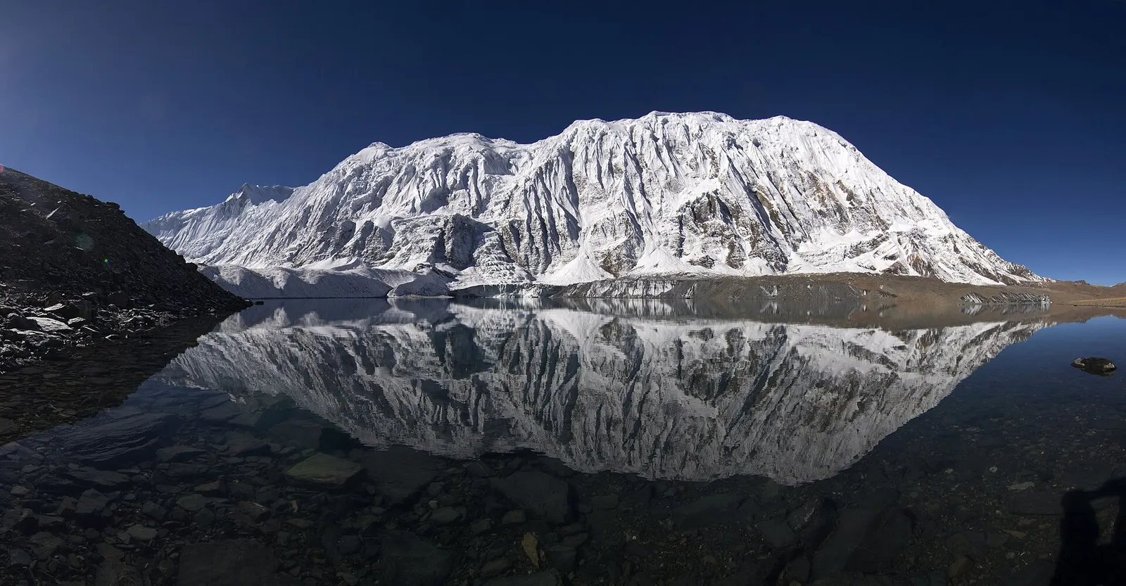
Lake · 4,919 m
A glacial lake at about 4,920 m beneath the ice walls of Tilicho Peak, reached on a demanding side trip from Manang.
Trek stop · 1,900 m
A Marsyangdi valley village where the Manaslu Circuit joins the Annapurna Circuit road.
Trek stop · 2,600 m
A small village in pine and fir forest on the Annapurna Circuit, just below Chame, and the start of the trail into the Nar Phu valley.
Trek stop · 3,660 m
A stone village high on the north side of the Manang valley, on the upper Annapurna Circuit route and at the foot of the Kang La from Nar.
Trek stop · 3,300 m
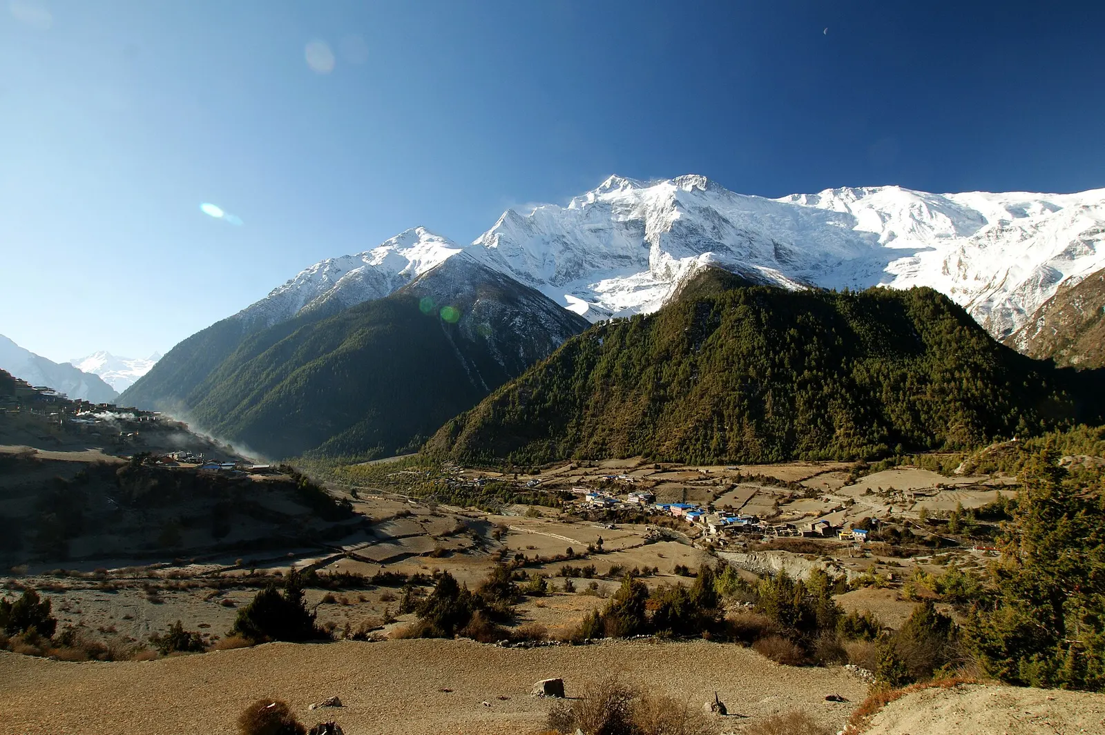
Twin villages in the upper Marsyangdi, where the old stone houses of Upper Pisang look across to Annapurna II.
Trek stop · 4,070 m
A small lodge stop in high pasture west of Manang, on the trail to Tilicho Base Camp and Tilicho Lake.
Trek stop · 4,540 m
The lodges at the foot of the Thorong La, where Annapurna Circuit trekkers sleep before the pre-dawn climb to the pass.
Town or village · 3,519 m
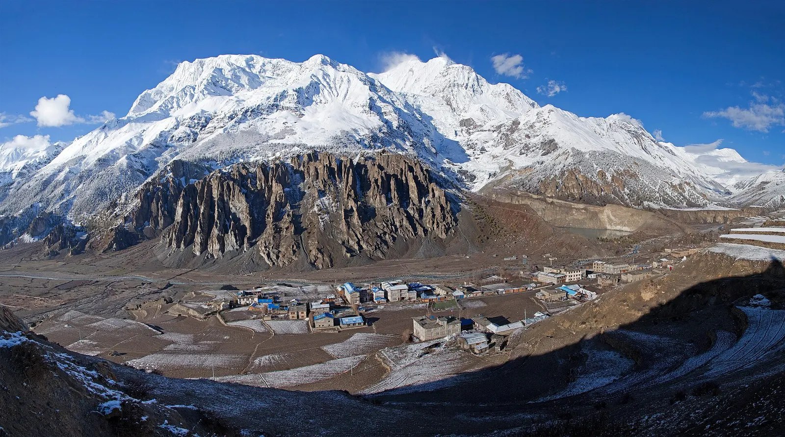
A high stone village in the upper Marsyangdi valley below Annapurna III and Gangapurna, where Circuit trekkers stop to acclimatise.