
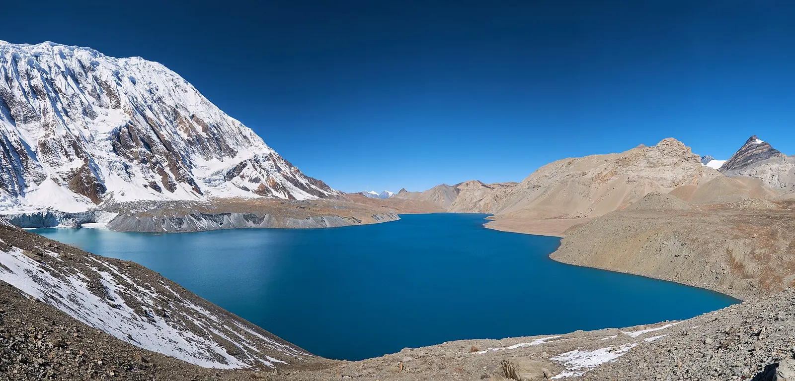
A teahouse journey around the Annapurna massif, from the green Marsyangdi valley through Manang and over the Thorong La (5,416 m) to Muktinath and the dry Kali Gandaki valley.
- Days
- 11 days
- Maximum altitude
- 5,416 m
- Difficulty
- Strenuous
Manangपिसाङ
Twin villages in the upper Marsyangdi, where the old stone houses of Upper Pisang look across to Annapurna II.
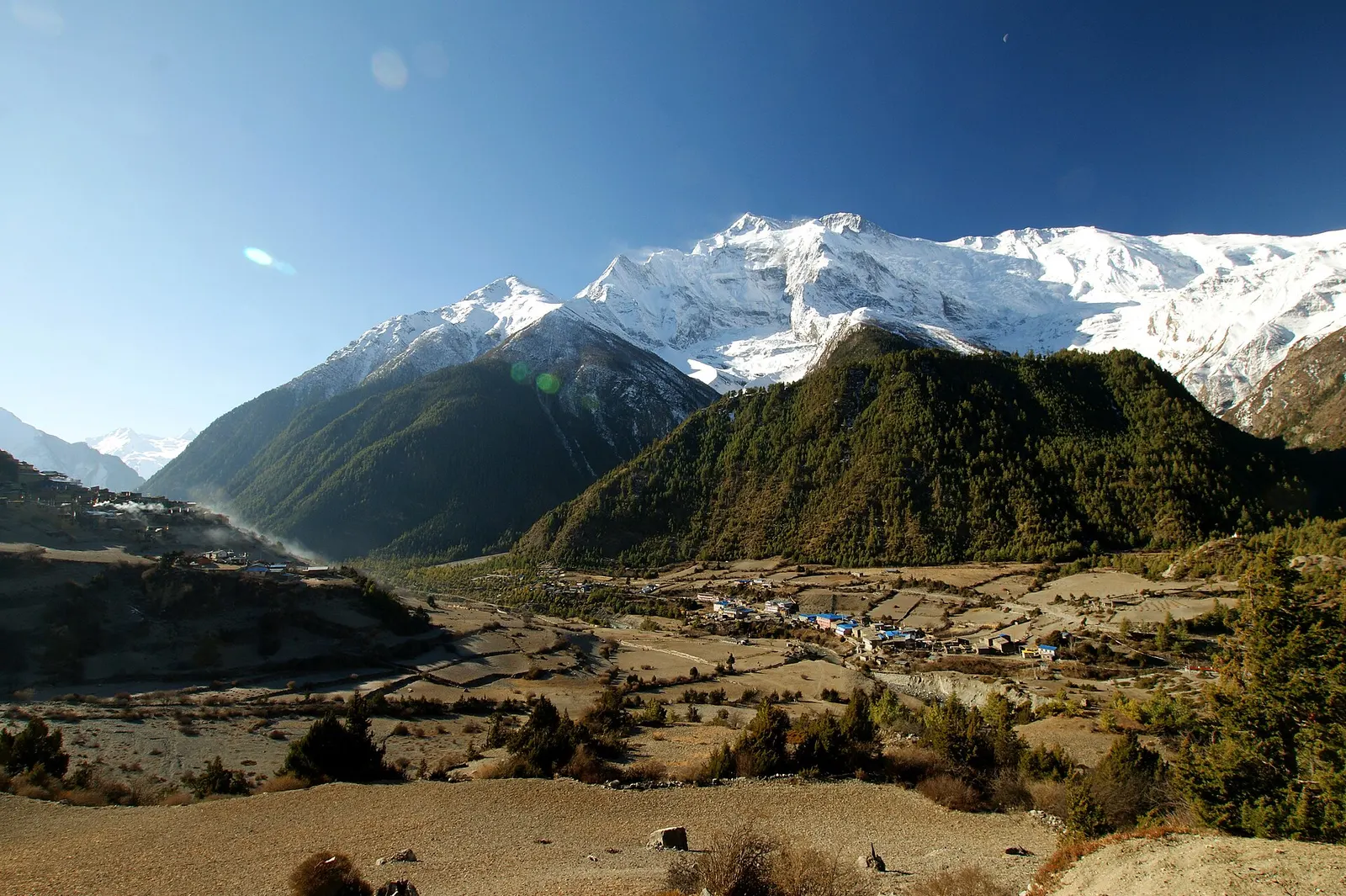
Pisang is two villages in the upper Marsyangdi valley of Manang, at the point where the forest thins and the high, drier country begins. Lower Pisang sits by the river and the jeep road at about 3,200-3,250 m, and Upper Pisang climbs the slope above it at about 3,300 m, with a maze of stone lanes, flat-roofed houses and a monastery facing Annapurna II.
On the Annapurna Circuit, Pisang is the usual overnight stop after Chame. From here trekkers choose between the low route to Manang via Humde and the high route via Ghyaru and Ngawal, which climbs to about 3,700 m and is better for acclimatisation and views. Pisang Peak, a popular trekking peak, rises directly behind the village.
Pisang belongs to the Nyeshang people of upper Manang, whose culture is Tibetan Buddhist and whose traders were long known for trade journeys across Asia. The monastery in Upper Pisang is still active and its morning and evening chanting carries across the valley; visitors are welcome if they remove shoes and ask before taking photographs. Prayer walls and chortens line both villages, which should be passed on the left, walking clockwise.
Visit the Upper Pisang monastery
Climb through the old village to the monastery terrace for views of Annapurna II, ideally at the time of the evening prayers.
Take the high trail to Manang
Climb steeply to Ghyaru, traverse to Ngawal and descend to Manang, about 6-7 hours, a good acclimatisation day.
Forecast for 3,300 m. Conditions change fast in the mountains.
Weather data: MET Norway, licensed CC BY 4.0. A forecast, not a guarantee.
Mar-May, Oct-Nov
Lodges in both Upper and Lower Pisang; Upper Pisang has more atmosphere, Lower Pisang is closer to the road.
No partner stays are listed here yet. List a property.
Walk up the Annapurna Circuit from Chame in a day, or travel by jeep from Besisahar up the Marsyangdi road.
Nearest hub: Pokhara
Permit required
Inside the Annapurna Conservation Area, so an ACAP permit is required.
Verify before travel: permit rules and fees change. Checked 2026-10-06 against National Trust for Nature Conservation (ACAP).
On the Annapurna Circuit, Tilicho Lake trek.
A teahouse journey around the Annapurna massif, from the green Marsyangdi valley through Manang and over the Thorong La (5,416 m) to Muktinath and the dry Kali Gandaki valley.
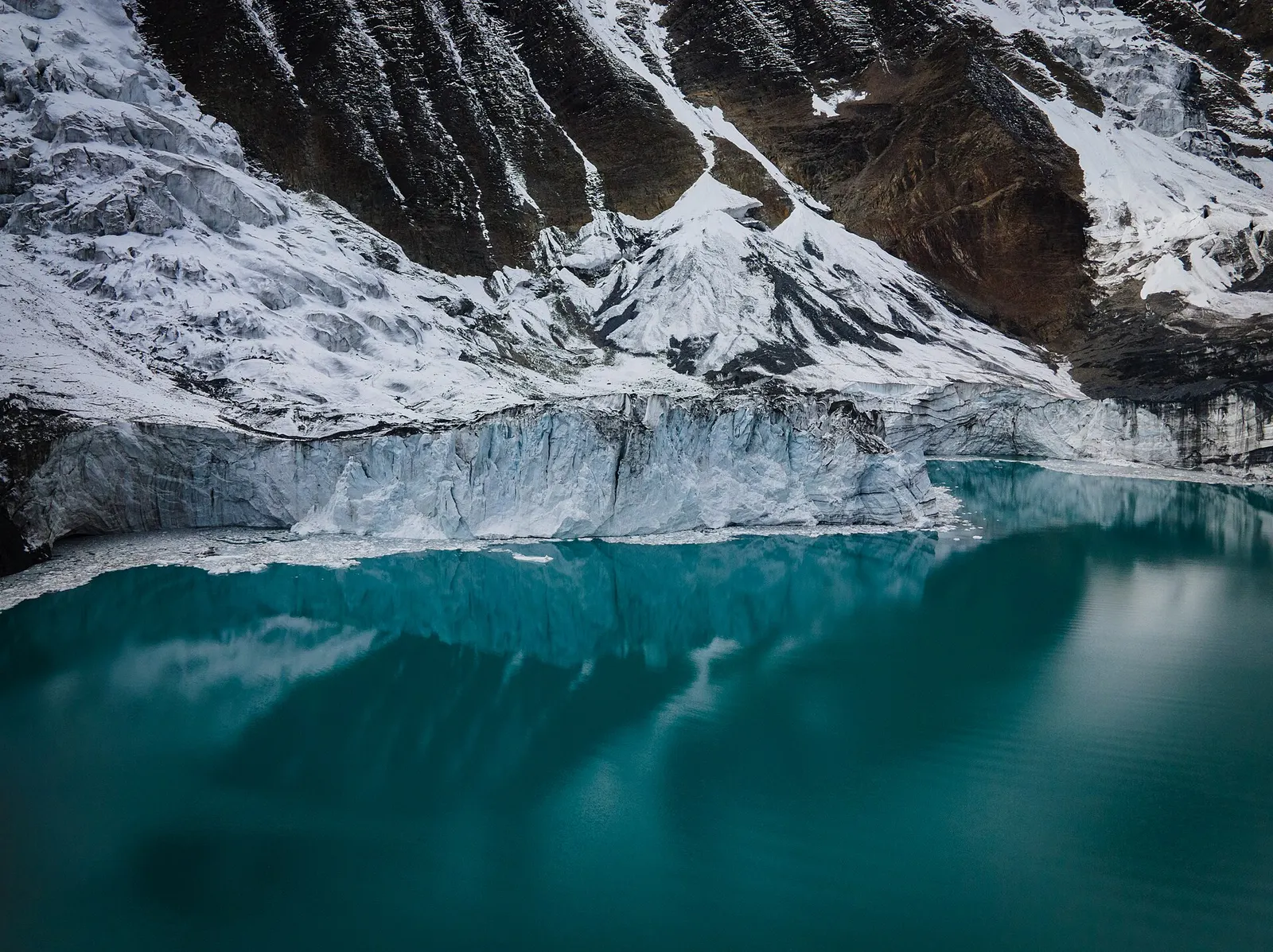
A side trek from Manang on the Annapurna Circuit to Tilicho Lake (about 4,919 m), a glacier-fed lake below Tilicho Peak, via Khangsar, Shree Kharka and Tilicho Base Camp.
Upper Pisang has the old village, the monastery and better views, and sleeping slightly higher helps acclimatisation. Lower Pisang is easier to reach and closer to the road.
Upper Pisang is about 3,300 m and Lower Pisang about 3,200-3,250 m, high enough for mild altitude symptoms in some people.
The high route via Ghyaru and Ngawal takes about 6-7 hours and helps acclimatisation; the low route via Humde is shorter and easier.
Valley or region · 4,150 m
A restricted high valley north of the Annapurna Circuit, with two old Tibetan Buddhist villages, Nar and Phu, reached through a narrow gorge from Koto.
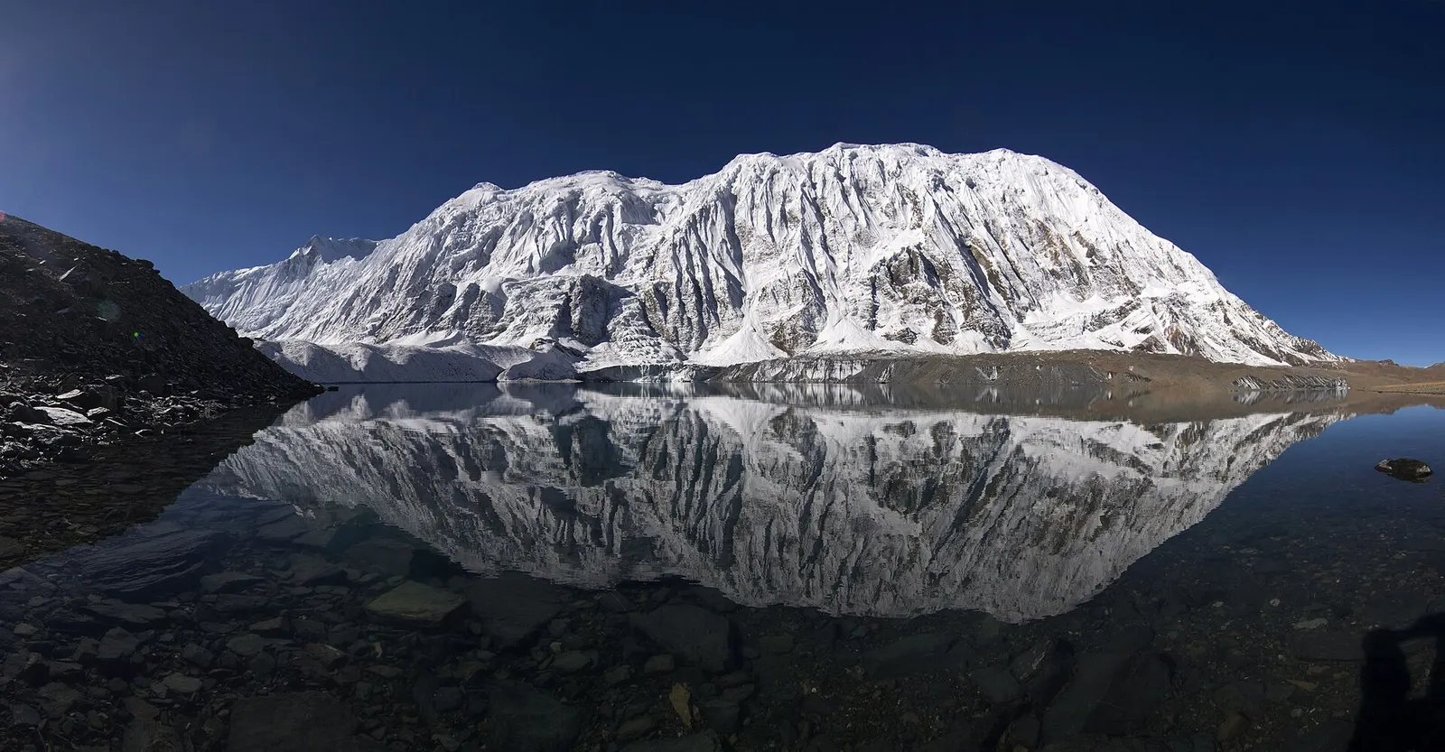
Lake · 4,919 m
A glacial lake at about 4,920 m beneath the ice walls of Tilicho Peak, reached on a demanding side trip from Manang.
Trek stop · 2,670 m
The district headquarters of Manang, a road-head town in fir and pine forest where most Annapurna Circuit trekkers spend a night.
Trek stop · 1,900 m
A Marsyangdi valley village where the Manaslu Circuit joins the Annapurna Circuit road.
Trek stop · 2,600 m
A small village in pine and fir forest on the Annapurna Circuit, just below Chame, and the start of the trail into the Nar Phu valley.
Trek stop · 3,660 m
A stone village high on the north side of the Manang valley, on the upper Annapurna Circuit route and at the foot of the Kang La from Nar.
Trek stop · 4,070 m
A small lodge stop in high pasture west of Manang, on the trail to Tilicho Base Camp and Tilicho Lake.
Trek stop · 4,540 m
The lodges at the foot of the Thorong La, where Annapurna Circuit trekkers sleep before the pre-dawn climb to the pass.
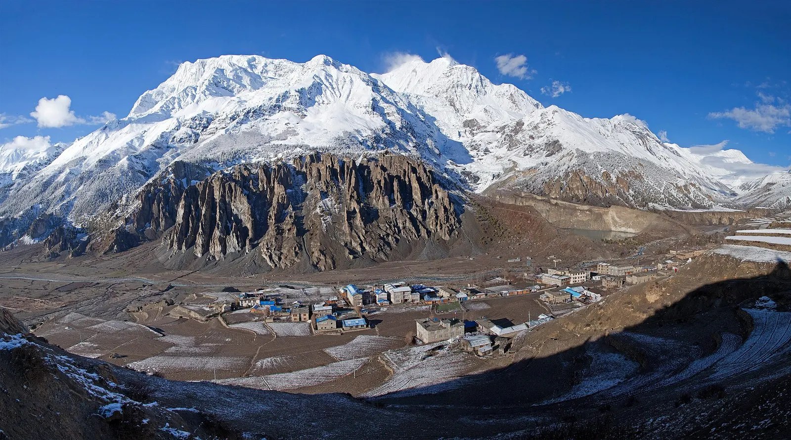
Town or village · 3,519 m
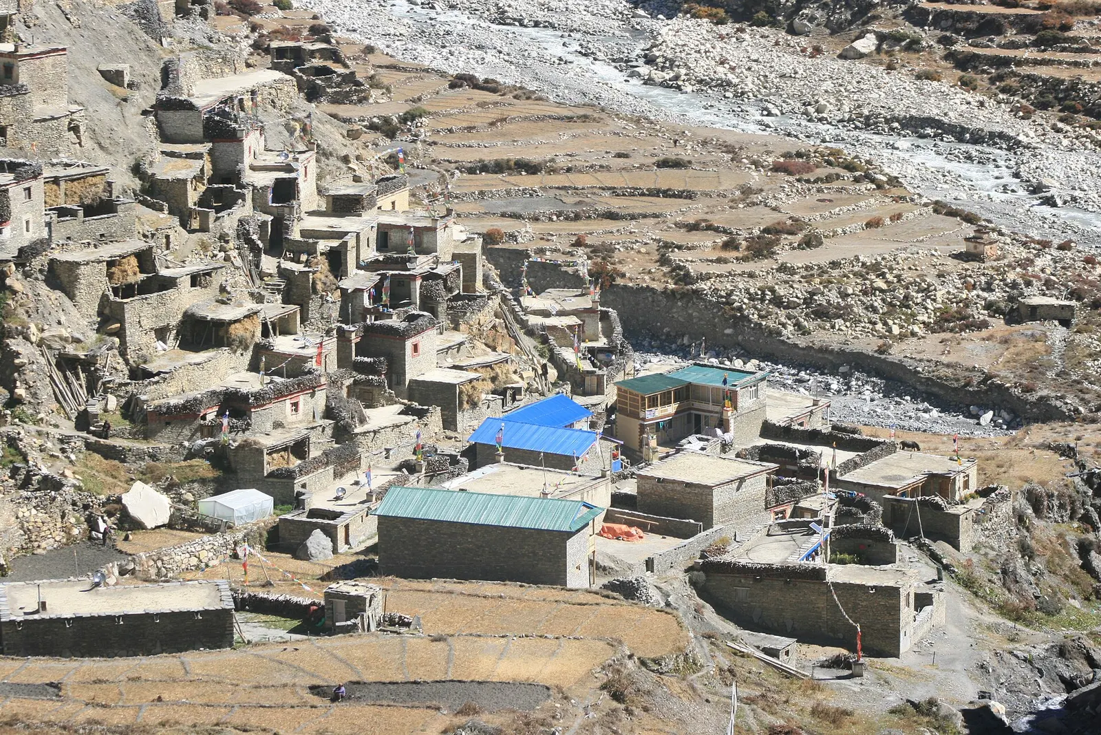
A high stone village in the upper Marsyangdi valley below Annapurna III and Gangapurna, where Circuit trekkers stop to acclimatise.