
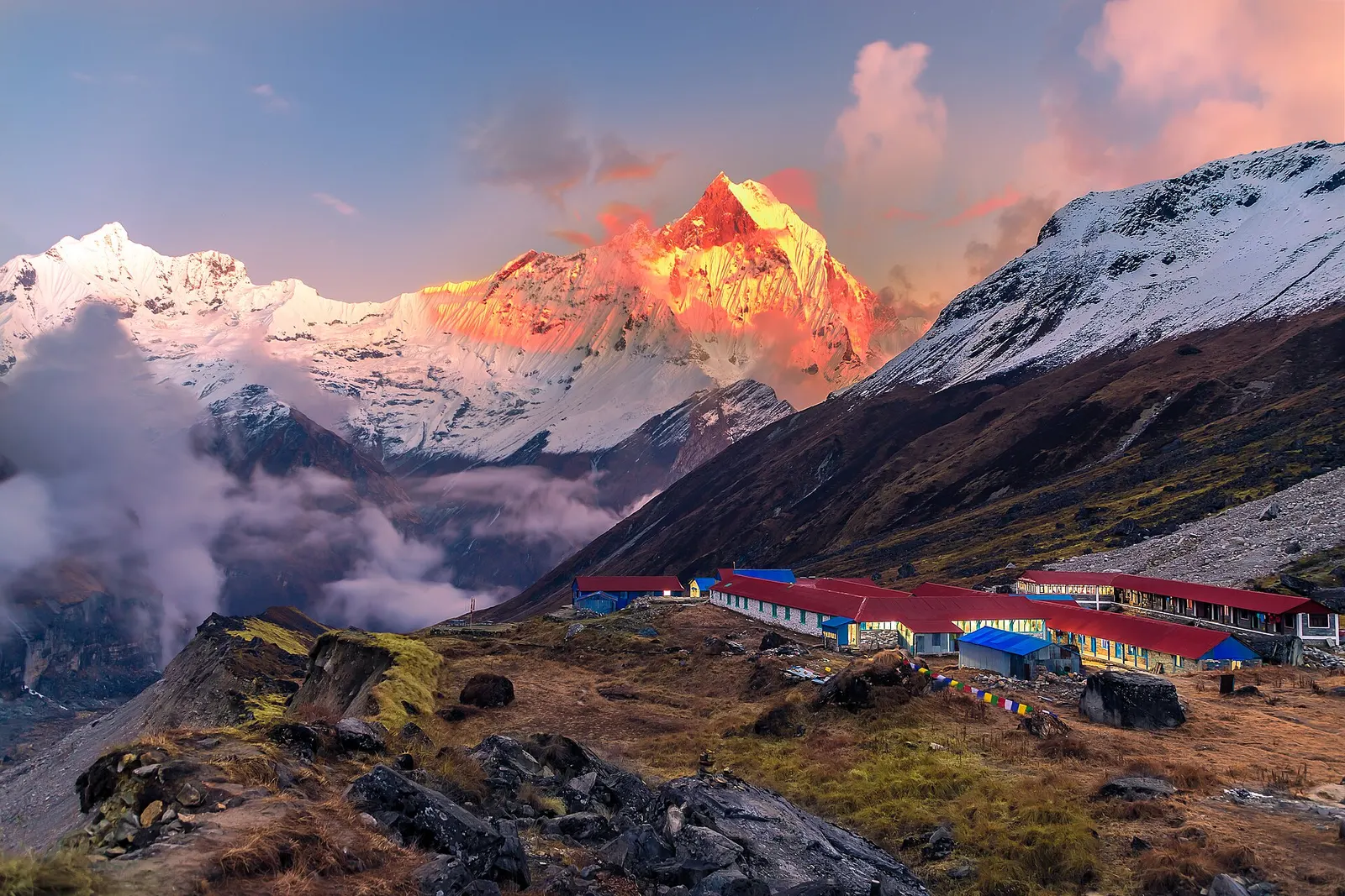
National park or conservation area
Annapurna Region
Nepal's largest protected area, from Gurung hill villages and rhododendron forest to the dry valleys behind the Annapurna range.
Gandaki Provinceम्याग्दी
District of Dhaulagiri and Beni, known for Poon Hill, the Tatopani hot springs and Magar community treks.
Myagdi runs from the Kali Gandaki valley at Beni up to the Dhaulagiri range, which dominates its northern skyline. The Myagdi Khola joins the Kali Gandaki at Beni, and the Kali Gandaki continues north towards Mustang through Tatopani. Mustang lies to the north, Kaski and Parbat to the east, Baglung to the south, and Dolpa and Rukum East to the west.
Magar communities, including many of the Pun clan, live across the hills, alongside Chhantyal, Thakali and Brahmin-Chhetri families. Beni is the busy district centre and a junction for traffic heading up the Kali Gandaki. Travellers come for the Ghorepani and Poon Hill trek, community routes to Khopra Ridge and Mohare Danda, the hot springs at Tatopani, and the demanding Dhaulagiri circuit.
National park or conservation area
Nepal's largest protected area, from Gurung hill villages and rhododendron forest to the dry valleys behind the Annapurna range.
Town or village
Myagdi's headquarters at the meeting of the Myagdi Khola and the Kali Gandaki, a junction for Mustang, Dhaulagiri and Tatopani.
Temple, monastery or heritage site
A riverside Shiva temple on the Kali Gandaki near Beni, linked in legend to the sage Galav.
Beni is reached by road from Pokhara through Nayapul and Kusma, generally a few hours' drive. Pokhara has the nearest airport with regular flights. From Beni, jeeps run up the Kali Gandaki to Tatopani and Jomsom, and up the Myagdi Khola towards the Dhaulagiri trailheads.
Autumn and spring give the best mountain views, with rhododendrons in bloom in spring around Ghorepani; the monsoon brings heavy rain and leeches, and winter can bring snow to the higher ridges.
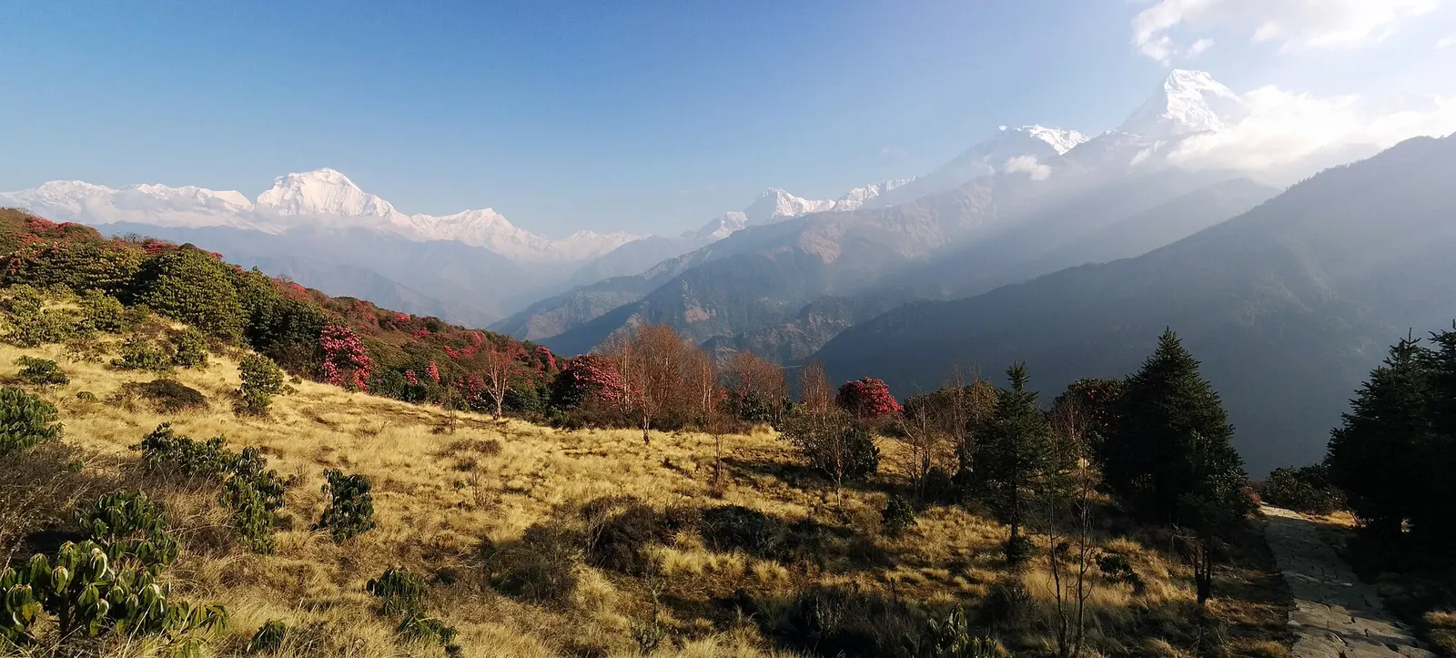
A short teahouse loop from Pokhara through Magar and Gurung villages and rhododendron forest to Ghorepani and the Poon Hill viewpoint (3,210 m), returning via Tadapani and Ghandruk.
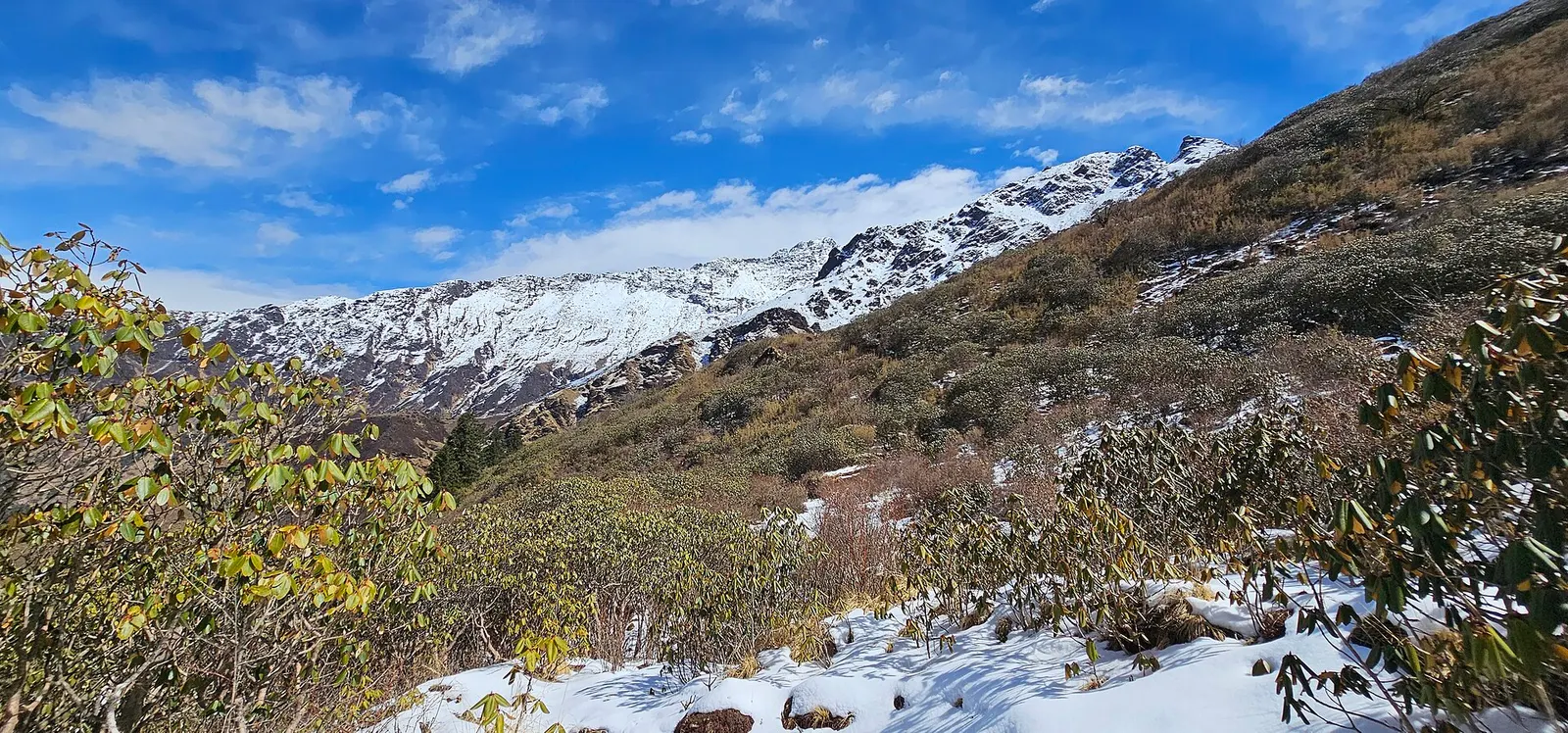
A quieter loop west of the Annapurna Sanctuary from Ghandruk via Tadapani, Dobato and Khopra Ridge (about 3,660 m) to Swanta, Ghorepani and Poon Hill, with an optional hike to Khayer Lake.
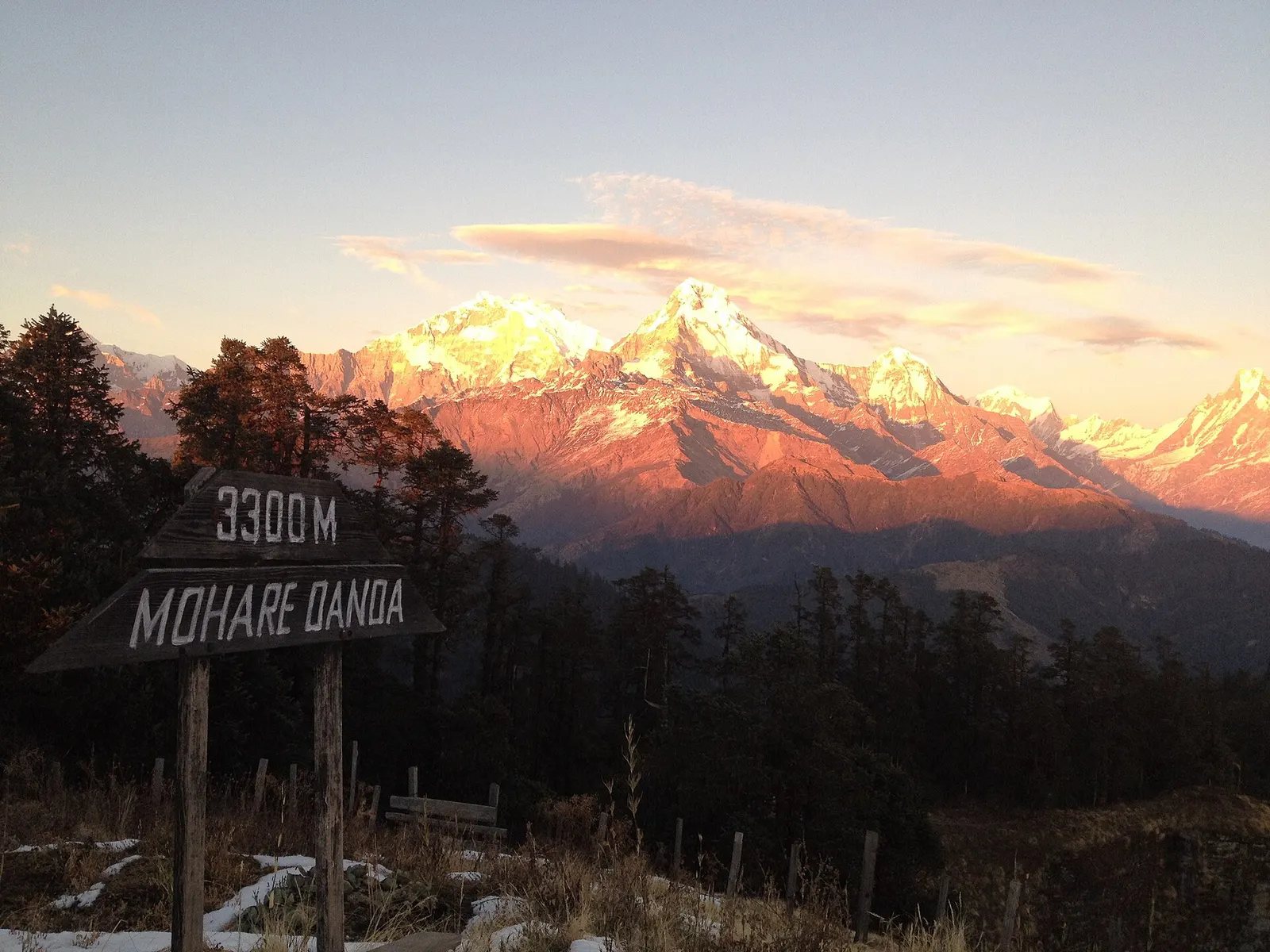
A short community-run trek from the Beni side through Magar villages to Mohare Danda (about 3,300 m), a hilltop with a community lodge facing Dhaulagiri and the Annapurnas.
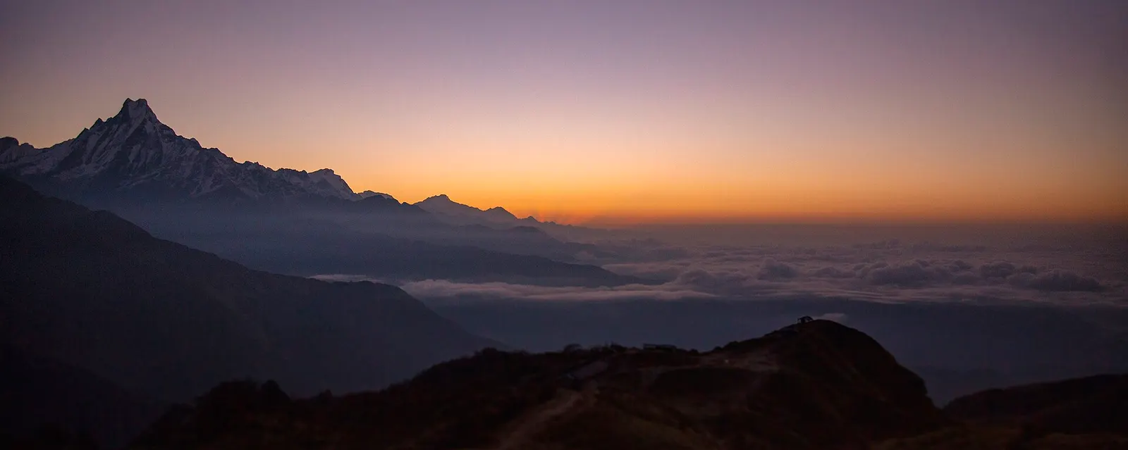
A four-day loop from Pokhara via Ghandruk, Tadapani and Dobato to the Muldai viewpoint (about 3,637 m) for sunrise, returning over Ghorepani and Poon Hill.