A restricted-area trek from Koto on the Annapurna Circuit into the high Tibetan Buddhist villages of Phu and Nar, crossing the Kang La (about 5,320 m) to Ngawal and Manang.
- Days
- 12 days
- Maximum altitude
- 5,320 m
- Difficulty
- Strenuous
Manangकोतो
A small village in pine and fir forest on the Annapurna Circuit, just below Chame, and the start of the trail into the Nar Phu valley.
This is Koto in Manang district, the Annapurna Circuit village near Chame where the Nar Phu trail begins, not Kyoto in Japan or other places named Koto.
Koto is a small village on the Annapurna Circuit in Manang district, at about 2,600 m on the Marsyangdi river, roughly half an hour's walk below Chame, the district headquarters. It sits in mixed pine and fir forest with Annapurna II and Lamjung Himal glimpsed above the valley, and it is the place where the trail to the restricted Nar Phu valley leaves the main Circuit, making it a key point within the wider Manang area.
On the Circuit, Koto is a quieter alternative to Chame for an overnight stop, with a handful of lodges and an ACAP checkpoint. For Nar Phu trekkers it is the start of the real journey: restricted area permits are checked at the police post here, and the trail crosses the Marsyangdi and heads north into the deep, forested gorge of the Nar Khola towards Dharmasala, Meta, Phu and Nar.
Koto lies in Chame Rural Municipality and is home mainly to Gurung and Tibetan-heritage Manangi families, with Buddhist chortens and prayer flags along the trail. Like other villages on the lower Manang road, it has seen trekking traffic change as the jeep road has been extended up the valley, and some lodges now serve both trekkers and road travellers. Mobile coverage arrived relatively recently.
Begin the Nar Phu trek
Cross the Marsyangdi and follow the Nar Khola gorge north towards Meta, usually a 6-8 hour day to the first major stop.
Walk to Chame
Stroll about 30 minutes up the valley to Chame for shops, hot springs by the river and supplies.
Forecast for 2,600 m. Conditions change fast in the mountains.
Weather data: MET Norway, licensed CC BY 4.0. A forecast, not a guarantee.
Mar-May, Sep-Nov
A small number of trekking lodges; Chame, 30 minutes away, has more choice.
No partner stays are listed here yet. List a property.
Travel to Besisahar by road, then continue by jeep up the Marsyangdi valley via Dharapani to Koto, or trek up over several days.
Nearest hub: Pokhara
Permit required
Koto is inside the Annapurna Conservation Area, so an ACAP permit is required. Going on into the Nar Phu valley needs a Restricted Area Permit as well.
Verify before travel: permit rules and fees change. Checked 2026-10-06 against Department of Immigration, Nepal.
On the Annapurna Circuit, Nar Phu valley trek.
A restricted-area trek from Koto on the Annapurna Circuit into the high Tibetan Buddhist villages of Phu and Nar, crossing the Kang La (about 5,320 m) to Ngawal and Manang.
At Koto, about 30 minutes below Chame on the Annapurna Circuit, where restricted area permits are checked.
Drive to Besisahar and continue by jeep up the Marsyangdi valley (roughly 6-9 hours), or trek up the Circuit over several days.
An ACAP permit is needed; continuing into Nar Phu also requires a Restricted Area Permit through a registered agency.
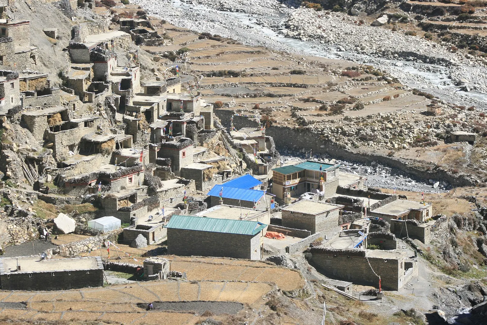
Valley or region · 4,150 m
A restricted high valley north of the Annapurna Circuit, with two old Tibetan Buddhist villages, Nar and Phu, reached through a narrow gorge from Koto.
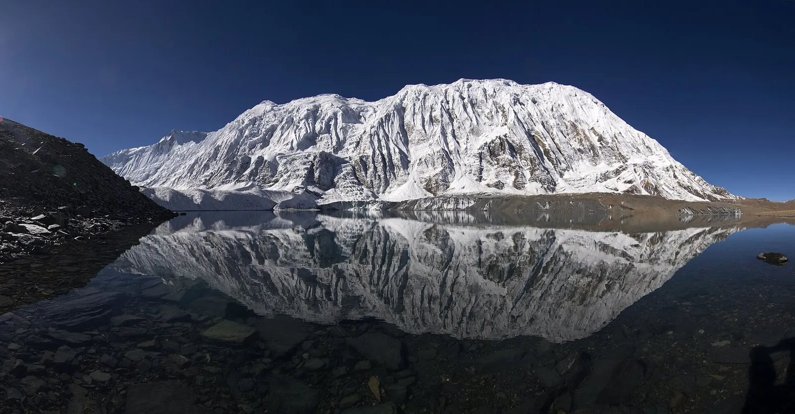
Lake · 4,919 m
A glacial lake at about 4,920 m beneath the ice walls of Tilicho Peak, reached on a demanding side trip from Manang.
Trek stop · 2,670 m
The district headquarters of Manang, a road-head town in fir and pine forest where most Annapurna Circuit trekkers spend a night.
Trek stop · 1,900 m
A Marsyangdi valley village where the Manaslu Circuit joins the Annapurna Circuit road.
Trek stop · 3,660 m
A stone village high on the north side of the Manang valley, on the upper Annapurna Circuit route and at the foot of the Kang La from Nar.
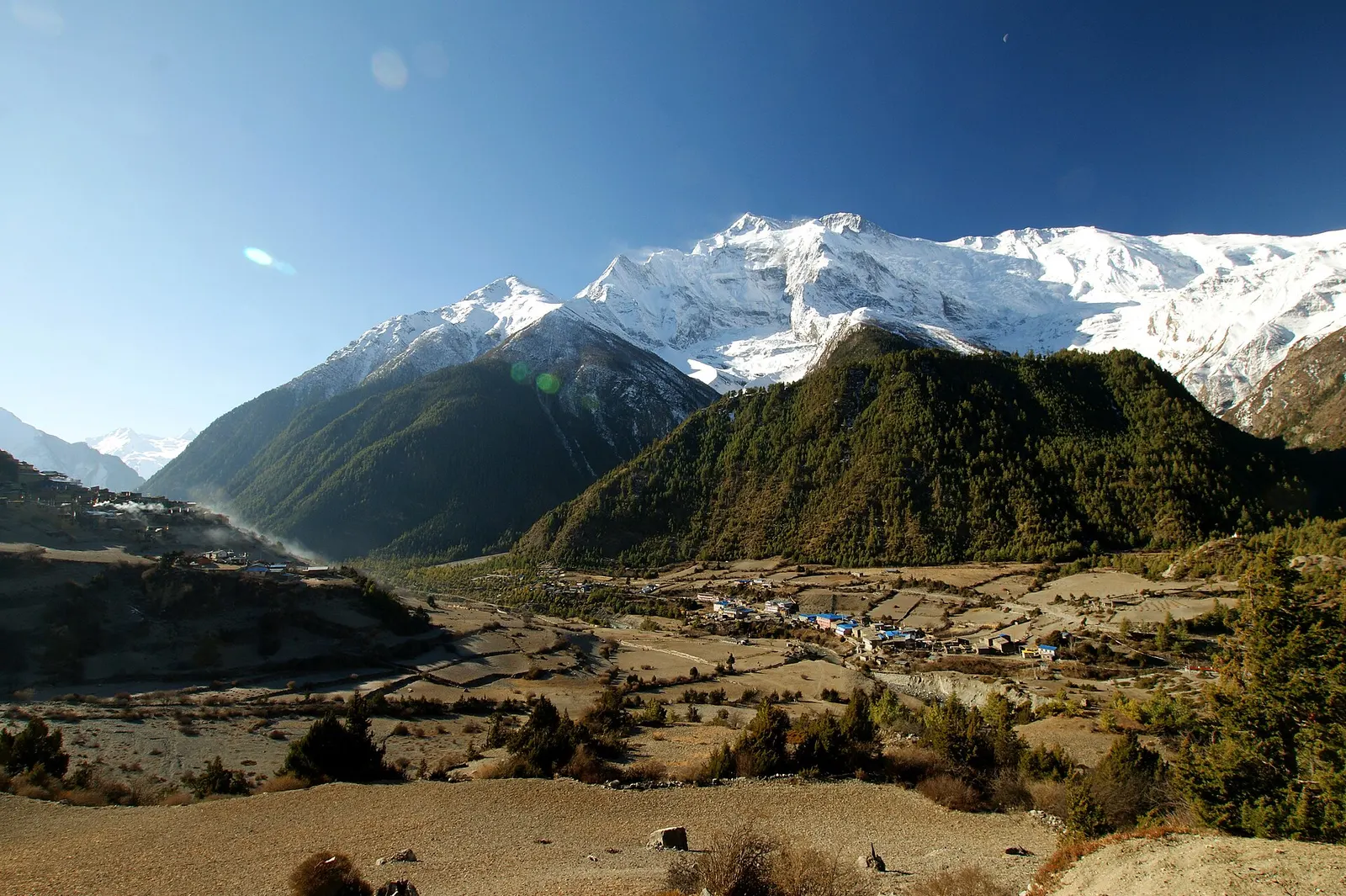
Trek stop · 3,300 m
Twin villages in the upper Marsyangdi, where the old stone houses of Upper Pisang look across to Annapurna II.
Trek stop · 4,070 m
A small lodge stop in high pasture west of Manang, on the trail to Tilicho Base Camp and Tilicho Lake.
Trek stop · 4,540 m
The lodges at the foot of the Thorong La, where Annapurna Circuit trekkers sleep before the pre-dawn climb to the pass.
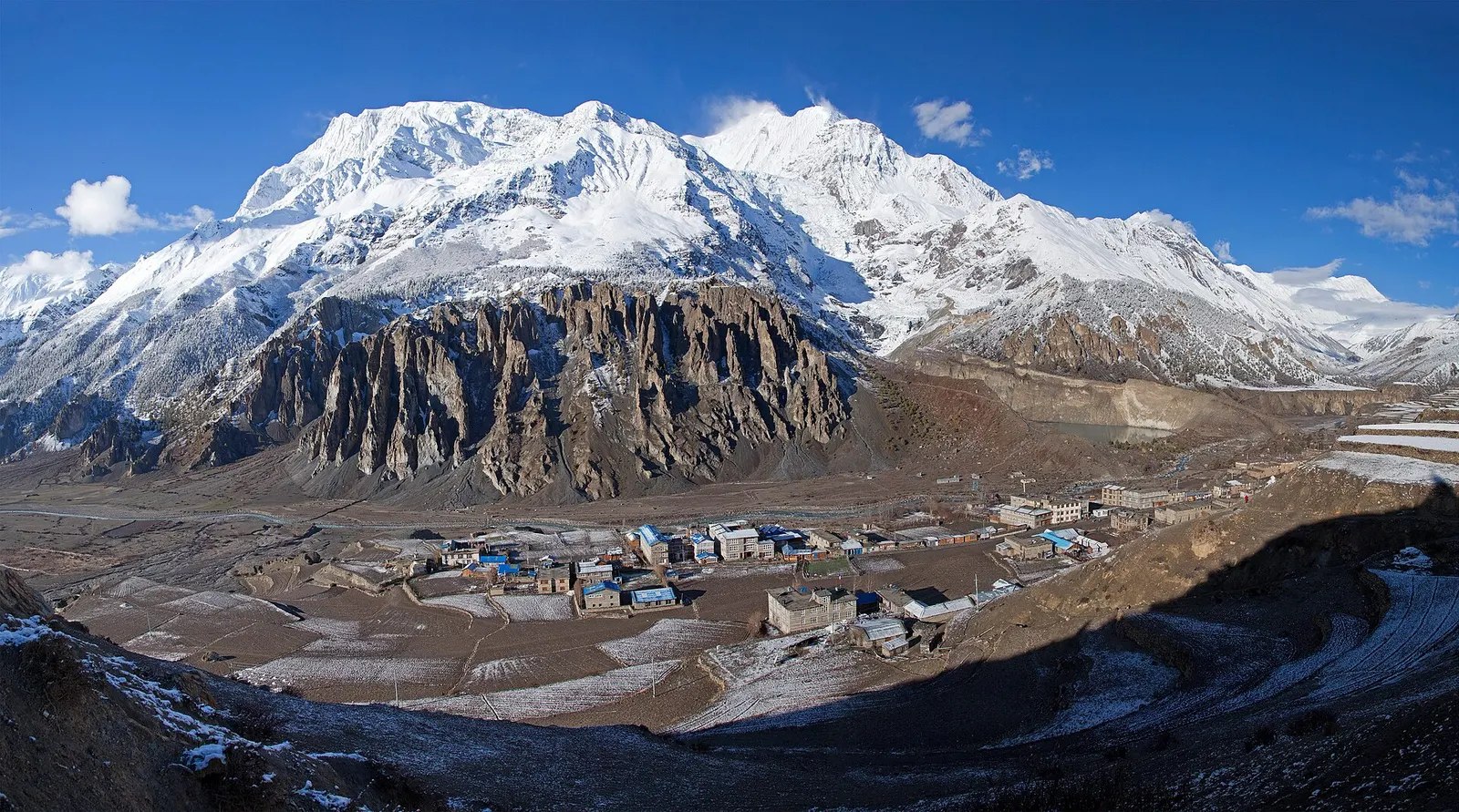
Town or village · 3,519 m
A high stone village in the upper Marsyangdi valley below Annapurna III and Gangapurna, where Circuit trekkers stop to acclimatise.
National park or conservation area
Nepal's largest protected area, from Gurung hill villages and rhododendron forest to the dry valleys behind the Annapurna range.