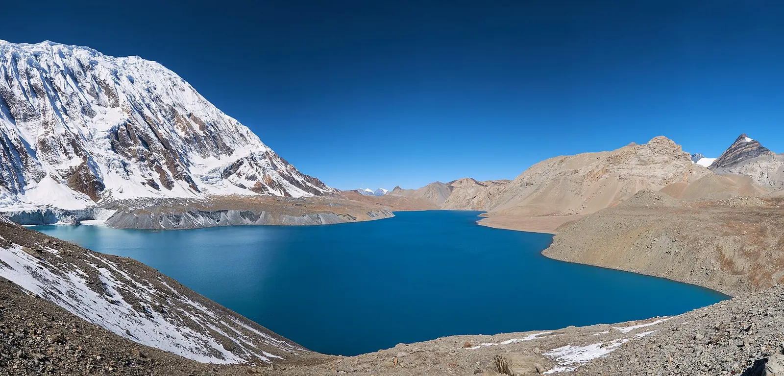
A teahouse journey around the Annapurna massif, from the green Marsyangdi valley through Manang and over the Thorong La (5,416 m) to Muktinath and the dry Kali Gandaki valley.
- Days
- 11 days
- Maximum altitude
- 5,416 m
- Difficulty
- Strenuous
Pokhara & Annapurna, Nar Phu Valley
A restricted-area trek from Koto on the Annapurna Circuit into the high Tibetan Buddhist villages of Phu and Nar, crossing the Kang La (about 5,320 m) to Ngawal and Manang.
The Nar Phu valley is a side valley of Manang, north of the Annapurna Circuit, opened to foreign trekkers only in 2002 and still a restricted area. The trail leaves the circuit at Koto, climbs a forested gorge to the open shelf of Meta and continues past old chortens and ruined settlements to Phu, a stone village near the head of the valley.
From Phu the route returns down the valley and climbs to Nar, the other main village, before crossing the Kang La (about 5,320 m) and descending to Ngawal on the high route of the Annapurna Circuit. The plan below starts with the drive to Dharapani and ends with a jeep from Manang; many trekkers instead continue over the Thorong La.
Lodges and homestays now exist in Meta, Kyang, Phu and Nar, but they are basic, and some groups still camp. Restricted-area permits are issued only through a registered agency, with a licensed guide.
Why it is rated strenuous
Sleeping altitude for each night. The dashed lines at 3,000 m and 4,000 m mark heights where altitude illness becomes more common. General information only, not medical advice.
Hover, tap or use the arrow keys to see each day. Shaded columns are acclimatisation days.
| Day | Overnight | Sleeping altitude | High point |
|---|---|---|---|
| 1 | Dharapani | 1,860 m | - |
| 2 | Koto | 2,600 m | - |
| 3 | Meta | 3,560 m | - |
| 4 | Kyang | 3,820 m | - |
| 5 | Phu | 4,080 m | - |
| 6 | Phu (rest) | 4,080 m | - |
| 7 | Nar Phedi (Satek Gompa) | 3,490 m | - |
| 8 | Nar | 4,110 m | - |
| 9 | Nar (rest) | 4,110 m | - |
| 10 | Ngawal | 3,660 m | 5,320 m |
| 11 | Manang | 3,519 m | - |
| 12 | Besisahar | 760 m | - |
About 6-8 hours to Besisahar, then a jeep up the Marsyangdi road. Some groups drive straight on to Koto when the road allows.
Teahouse in DharapaniAbout Dharapani
Up the valley through Bagarchhap, Danaqyu and Latamarang. Restricted-area permits are checked at Koto.
Teahouse in KotoAbout Koto
Cross the Marsyangdi and follow the Nar Khola gorge through forest and past waterfalls and the Dharmasala camp, then climb onto the open plateau of Meta.
Teahouse or homestay in MetaAbout Meta
Past the chortens and abandoned settlements of Jhunam and Chyakhu, with views of Annapurna II behind. Kyang is a winter settlement of Phu villagers.
Homestay or teahouse in Kyang
Along the Phu Khola through a narrow gorge, past ruined forts and through the gateway below the village.
Homestay or teahouse in PhuAbout Phu
Acclimatise and visit Tashi Lhakhang monastery above the village, or walk up the valley towards the high pastures and return to sleep.
Homestay or teahouse in PhuAbout Phu
Back down the Phu Khola past Kyang and across the Mahendra Pul bridge to the monastery at Nar Phedi, where the nuns run simple accommodation.
Monastery guesthouse at Nar Phedi
A steady climb past a row of painted chortens to Nar, a larger village of stone houses and fields with several monasteries.
Homestay or teahouse in NarAbout Nar
Acclimatise for the pass: explore the village and its monasteries and take a short walk up towards Kang La Phedi.
Homestay or teahouse in NarAbout Nar
Start before dawn. A long climb of about 1,200 m to the Kang La, with views of Annapurna II, III and IV and Gangapurna, then a steep descent of about 1,650 m on loose ground to Ngawal.
Teahouse in NgawalAbout Ngawalhigh point Kang La, 5,320 m
An easy walk down past Humde and Braga. From Manang you can continue on the Annapurna Circuit or Tilicho Lake instead of driving out.
Teahouse in ManangAbout Manang
A long, rough jeep ride down the Marsyangdi valley, usually 7-10 hours; continue to Kathmandu or Pokhara the next day.
Hotel in Besisahar
Stages, times and altitudes vary by operator, weather and pace. Partner agencies confirm the exact plan.
Approximate route drawn through the overnight stops.
Manang (Nar Phu) restricted-area permitRestricted area
Issued by the Department of Immigration through a registered agency. Its fee table lists Manang (Narpa Rural Municipality wards 1-5 and Nasho Rural Municipality wards 6-7) at USD 100 per week plus USD 15 per day beyond a week from September to November, and USD 75 per week plus USD 15 per day beyond a week from December to August.
ACAP entry permit (Annapurna Conservation Area)Conservation area
Issued at the Nepal Tourism Board permit counters in Kathmandu and Pokhara or through your agency; checked at trail checkpoints.
TIMS cardTrekker card
Check whether a TIMS card is currently required; since 2023 it has been issued through registered trekking agencies.
Restricted area
Restricted-area permits are issued only through a government-registered trekking agency, for trekkers accompanied by a licensed guide; the rules have long required a minimum group of two trekkers, and changes have been reported, so confirm the current rule with the Department of Immigration or a licensed agency.Verify before travel: permit rules and fees change. Checked 2026-10-06 against Department of Immigration, Nepal: Trekking Route and Permit Fee. Guide rule: The National: Nepal bans solo trekking for tourists, guides mandatory from April 1 (March 2023).
Nepal trekking permits explainedBest months: Apr-May, Sep-Nov
Forecasts for start (Dharapani, 1,860 m), highest overnight (Nar, 4,110 m), end (Besisahar, 760 m). Mountain weather changes fast; check again on the day.
Forecast for 1,860 m. Conditions change fast in the mountains.
Weather data: MET Norway, licensed CC BY 4.0. A forecast, not a guarantee.
Forecast for 4,110 m. Conditions change fast in the mountains.
Weather data: MET Norway, licensed CC BY 4.0. A forecast, not a guarantee.
Forecast for 760 m. Conditions change fast in the mountains.
Weather data: MET Norway, licensed CC BY 4.0. A forecast, not a guarantee.
Continue on the Annapurna Circuit
From Manang, continue to Yak Kharka and over the Thorong La to Muktinath instead of driving out.
Add the two to three day detour from Manang to Tilicho Lake after the Kang La.
About 11 to 17 days from Kathmandu, depending on rest days and whether you continue on the Annapurna Circuit afterwards.
Yes. Nar Phu is a restricted area, so you need a restricted-area permit arranged through a registered agency, an ACAP permit, and a licensed guide.
About 5,306-5,320 m depending on the source. The crossing from Nar to Ngawal takes 8-9 hours.
Basic lodges and homestays operate in Meta, Kyang, Phu, Nar and Nar Phedi in season; some groups camp.
September to November and April to May. Winter snow usually closes the Kang La.
A teahouse journey around the Annapurna massif, from the green Marsyangdi valley through Manang and over the Thorong La (5,416 m) to Muktinath and the dry Kali Gandaki valley.
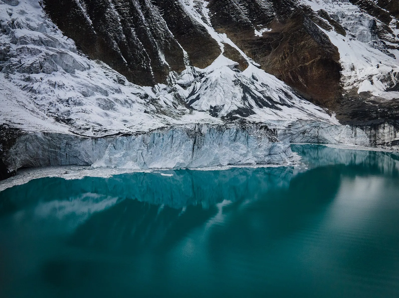
A side trek from Manang on the Annapurna Circuit to Tilicho Lake (about 4,919 m), a glacier-fed lake below Tilicho Peak, via Khangsar, Shree Kharka and Tilicho Base Camp.
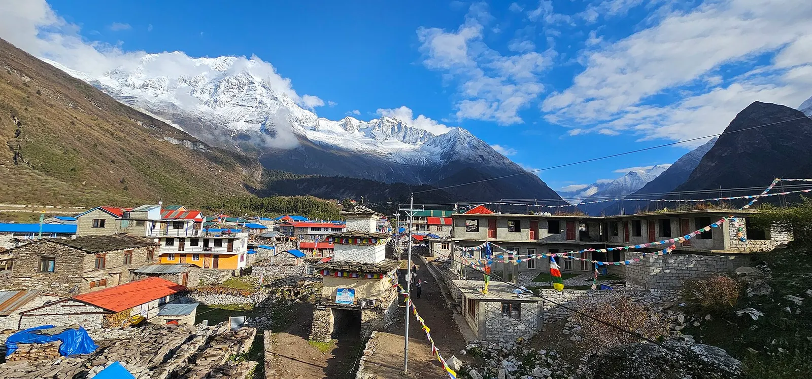
A restricted-area teahouse trek around Manaslu (8,163 m), up the Budhi Gandaki gorge through Gurung and Nubri villages, over the Larkya La (about 5,106 m) and down to Dharapani on the Annapurna Circuit.
Nar Phu Valley · 12 days