Nepal trekking permits explained
Which permits you need for each major trek in Nepal, who issues them, where to get them, and how the 2023 licensed-guide rule affects you.
By Firfirey editorial. Editorial draft, facts being checked against official sources.
The short version
Almost every popular trek in Nepal passes through a national park or a conservation area, and each of those charges an entry permit. On top of that, most areas use the TIMS card (Trekkers' Information Management System), and a handful of border regions are restricted areas that need a special permit arranged through a registered agency.
Permits are checked at posts along the trail, so carry them with your passport until the end of the trek. Fees change from time to time: always check the current amount with the issuing body before you go.
Permits by trek
This table covers the treks on Firfirey. Restricted areas are listed further down.
| Trek | Area permit | Other permits |
|---|---|---|
| Everest Base Camp | Sagarmatha National Park entry permit | Khumbu Pasang Lhamu Rural Municipality entry fee (no TIMS in the Khumbu) |
| Annapurna Base Camp | ACAP permit | TIMS card |
| Annapurna Circuit | ACAP permit | TIMS card |
| Poon Hill | ACAP permit | TIMS card |
| Mardi Himal | ACAP permit | TIMS card |
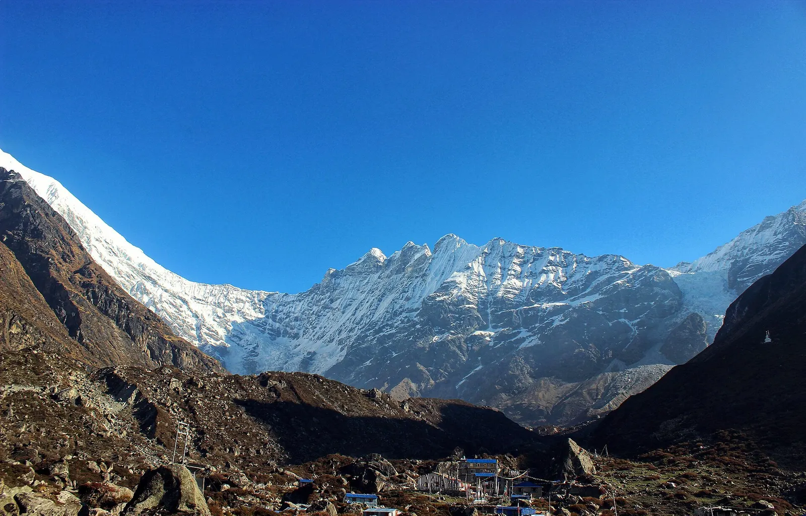
| Langtang Valley | Langtang National Park entry permit | TIMS card |
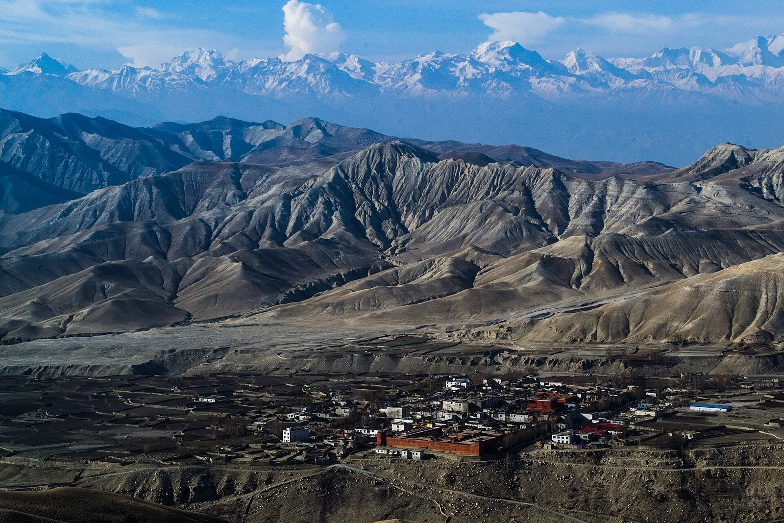
| Upper Mustang | ACAP permit | Restricted Area Permit |
| Upper Dolpo | Shey Phoksundo National Park entry permit | Restricted Area Permit |
Conservation area and national park permits
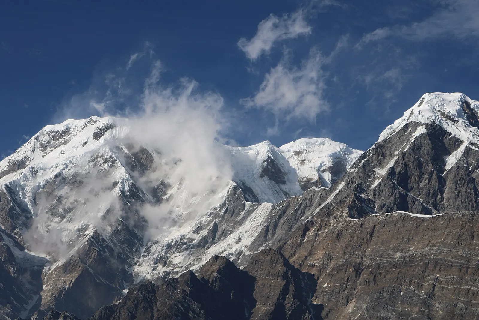
The Annapurna Conservation Area is managed by the National Trust for Nature Conservation (NTNC), and its entry permit is usually called the ACAP permit. NTNC lists the fee for foreign nationals as NPR 3,000 per person per entry, with a lower rate for SAARC nationals. It covers Annapurna Base Camp, the Annapurna Circuit, Poon Hill, Mardi Himal and Lower Mustang.
National parks, including Sagarmatha (Everest) and Langtang, are managed by the Department of National Parks and Wildlife Conservation (DNPWC), which sets their entry fees. Park permits can be bought in Kathmandu or at the park entrance, for example at Monjo for Sagarmatha.
In Kathmandu, permits are issued at the Tourist Service Centre at Bhrikutimandap, and ACAP permits are also issued in Pokhara. Bring your passport, a copy of it and passport photos.
The TIMS card
TIMS is a registration system run with the Nepal Tourism Board so that the authorities know who is on which trail, which helps in emergencies. Since April 2023 the card has been issued through registered trekking agencies, which links it to the licensed-guide rule below.
In the Everest region, TIMS is not used: the Khumbu Pasang Lhamu Rural Municipality collects its own entry fee instead, normally at Lukla or on the trail near Monjo.
Restricted area permits
Some regions near the northern border are restricted areas. The Department of Immigration issues Restricted Area Permits only through registered trekking agencies, for groups of at least two trekkers with a licensed guide. You cannot apply for one yourself.
For Upper Mustang and Upper Dolpo, the Department of Immigration has set the fee at US$500 per person for the first 10 days, with a daily charge after that. Other restricted areas, such as Manaslu, Nar Phu and Kanchenjunga, have their own rates, often charged per week and varying by season. You still need the normal conservation area or national park permit as well.
Do I need a licensed guide?
From 1 April 2023, under a rule announced by the Nepal Tourism Board, foreign trekkers in Nepal's national parks and conservation areas are required to trek with a licensed guide, with the TIMS card issued through registered trekking agencies. In the Everest region, the Khumbu Pasang Lhamu Rural Municipality issues its own entry permit and has said it does not apply the guide requirement in its area, so independent trekking has continued there in practice. Enforcement elsewhere has varied, so check the current position with the Nepal Tourism Board or a licensed agency shortly before you travel.
Even where a guide is not enforced, a licensed guide helps with route-finding, altitude decisions, lodge bookings and emergencies, and keeps money in local communities.
Practical tips
A few habits make permit checks easy:
- Keep permits and your passport in a waterproof pouch in your daypack, not in the porter's bag.
- Keep a photo of each permit on your phone.
- Permits are usually valid for a single entry. If you leave and re-enter an area, you may need another.
- Agencies arranging your trek will normally handle permits; ask for copies before you start.
Questions
Which permits do I need for Everest Base Camp?
A Sagarmatha National Park entry permit and the Khumbu Pasang Lhamu Rural Municipality entry fee. TIMS is not used in the Khumbu. If you walk in from Jiri, you also need a Gaurishankar Conservation Area permit.
Which permits do I need for Annapurna treks?
An ACAP permit and a TIMS card. Upper Mustang, Nar Phu and some other areas also need a Restricted Area Permit.
Can I get permits on the trail?
Some park permits are sold at entry points, such as Monjo for Sagarmatha. ACAP and TIMS are normally arranged in Kathmandu or Pokhara before you start, and buying them on the trail, where allowed, can cost more.
Can I trek in a restricted area on my own?
No. Restricted Area Permits are only issued through registered agencies, for at least two trekkers, with a licensed guide.
Sources
Related treks
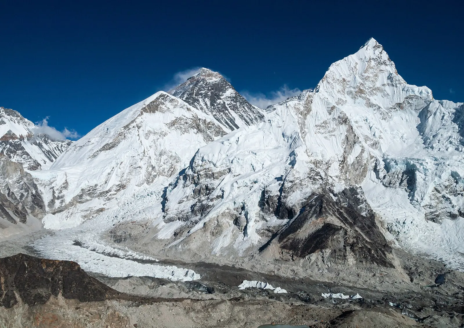
The classic teahouse trek from Lukla through Sherpa villages to Everest Base Camp (5,364 m) and the Kala Patthar viewpoint, with acclimatisation days in Namche and Dingboche.
- Days
- 12 days
- Maximum altitude
- 5,644 m
- Difficulty
- Strenuous
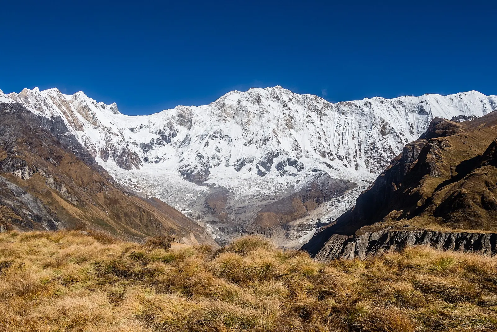
A teahouse trek from the road heads north of Pokhara through Gurung villages and the bamboo forest of the Modi Khola gorge into the Annapurna Sanctuary, to Annapurna Base Camp at about 4,130 m.
- Days
- 8 days
- Maximum altitude
- 4,130 m
- Difficulty
- Moderate
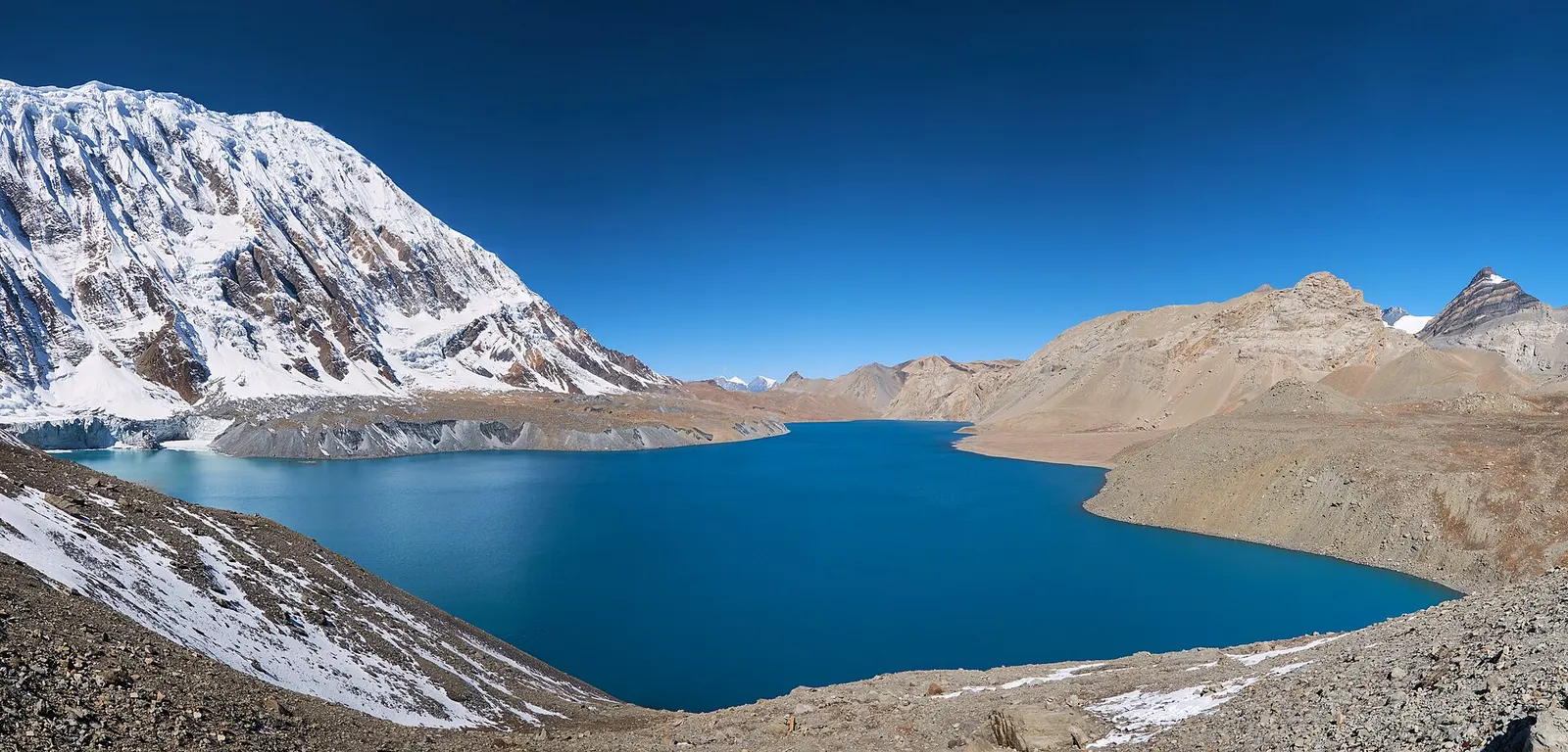
A teahouse journey around the Annapurna massif, from the green Marsyangdi valley through Manang and over the Thorong La (5,416 m) to Muktinath and the dry Kali Gandaki valley.
- Days
- 11 days
- Maximum altitude
- 5,416 m
- Difficulty
- Strenuous
Related places
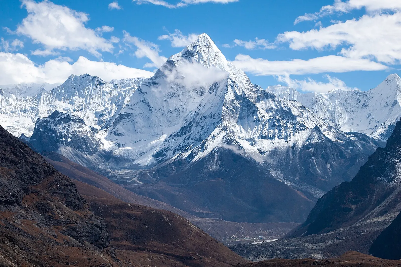
Everest Region
3,440 m, best Mar-May, Oct-Nov
Annapurna Region
4,130 m, best Mar-Apr, Oct-Nov
Upper Mustang
3,840 m, best Mar-Nov
Langtang Valley
3,870 m, best Mar-May, Oct-Nov