
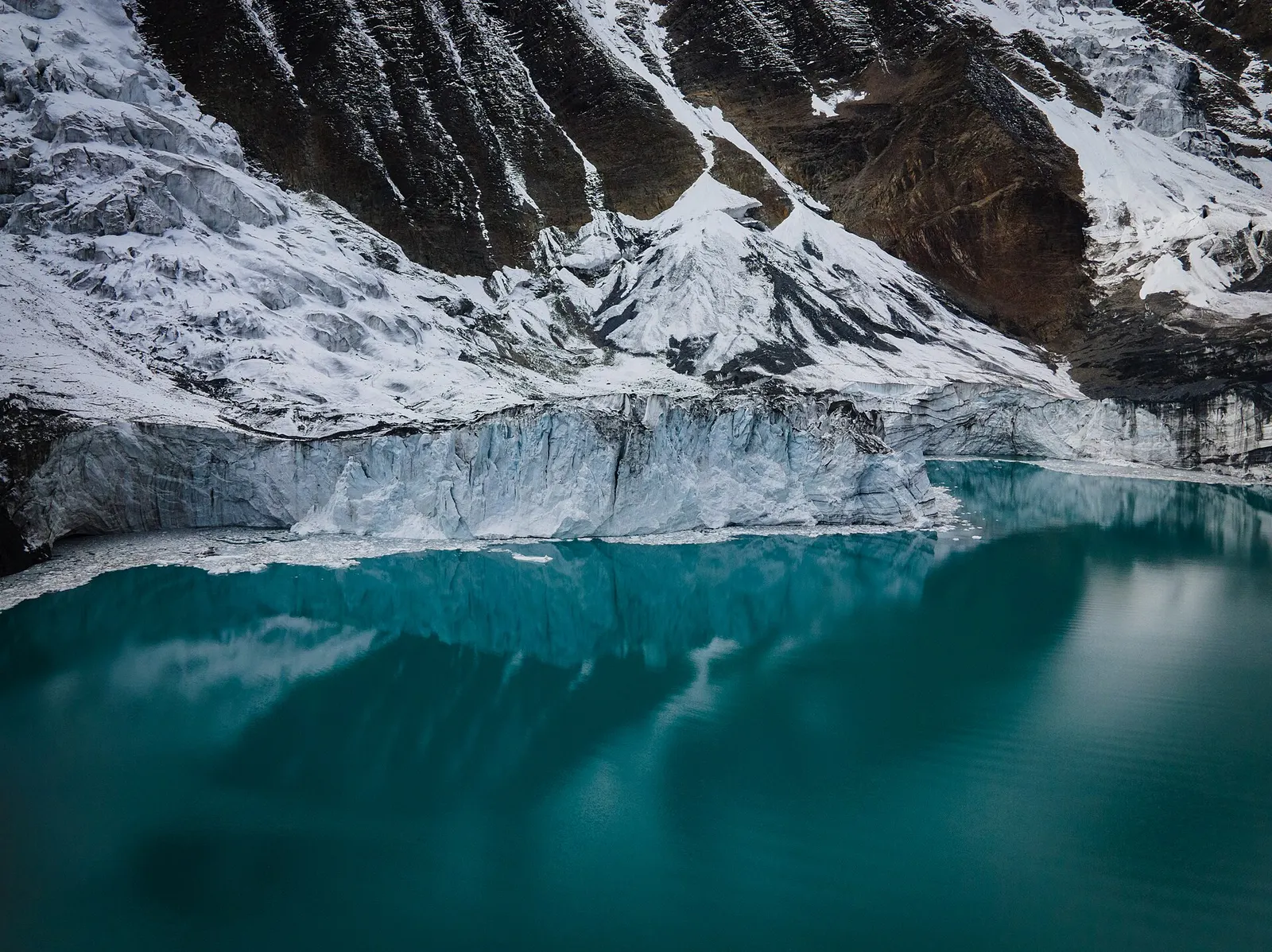
A side trek from Manang on the Annapurna Circuit to Tilicho Lake (about 4,919 m), a glacier-fed lake below Tilicho Peak, via Khangsar, Shree Kharka and Tilicho Base Camp.
- Days
- 10 days
- Maximum altitude
- 4,919 m
- Difficulty
- Strenuous
Pokhara & Annapurna, Annapurna Region
A teahouse journey around the Annapurna massif, from the green Marsyangdi valley through Manang and over the Thorong La (5,416 m) to Muktinath and the dry Kali Gandaki valley.
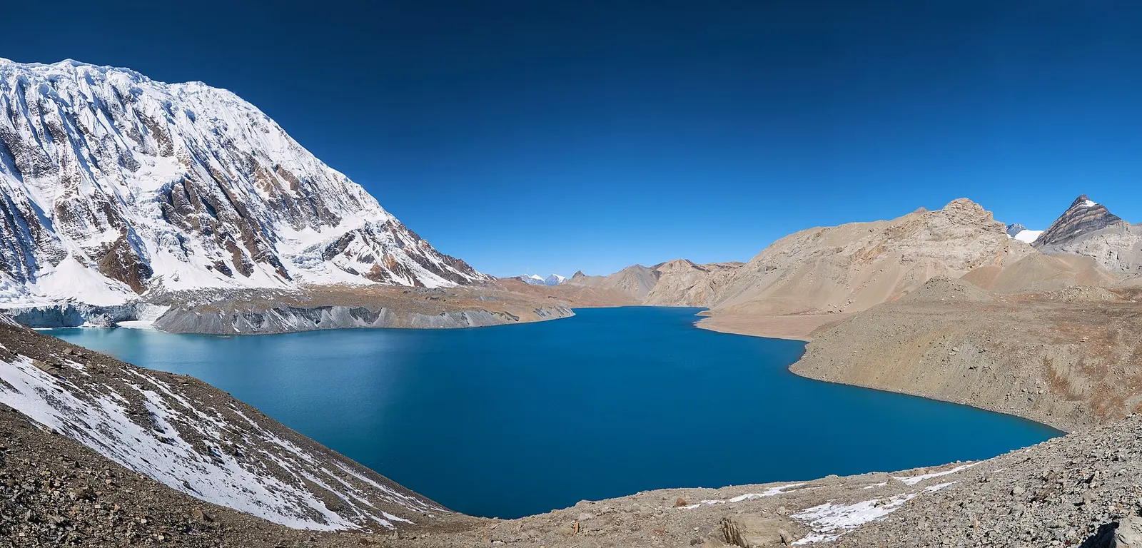
The Annapurna Circuit crosses from the terraced, forested Marsyangdi valley on the east side of the Annapurnas to the arid, wind-swept Kali Gandaki valley on the west. In between lies Manang, a high stone village where trekkers acclimatise, and the Thorong La pass at 5,416 m, the high point of the route.
Roads now reach far up both valleys, so most people start walking at Dharapani or Chame and many finish at Jomsom. The plan below starts with a long drive from Kathmandu to Dharapani, takes the high trail through Ghyaru and Ngawal for acclimatisation, and ends with a flight or drive from Jomsom to Pokhara.
The route also changes culturally: Hindu villages in the lower Marsyangdi give way to Tibetan Buddhist settlements in Manang, and after the pass you reach Muktinath, sacred to Hindus and Buddhists, and the Thakali villages of the Kali Gandaki. Popular extensions include Tilicho Lake, the restricted Nar Phu valley and the walk on south to Tatopani and Ghorepani.
Why it is rated strenuous
Sleeping altitude for each night. The dashed lines at 3,000 m and 4,000 m mark heights where altitude illness becomes more common. General information only, not medical advice.
Hover, tap or use the arrow keys to see each day. Shaded columns are acclimatisation days.
| Day | Overnight | Sleeping altitude | High point |
|---|---|---|---|
| 1 | Dharapani | 1,860 m | - |
| 2 | Chame | 2,670 m | - |
| 3 | Upper Pisang | 3,300 m | - |
| 4 | Manang | 3,519 m | 3,730 m |
| 5 | Manang (rest) | 3,519 m | 4,600 m |
| 6 | Yak Kharka | 4,018 m | - |
| 7 | Thorong Phedi | 4,540 m | - |
| 8 | Muktinath (Ranipauwa) | 3,700 m | 5,416 m |
| 9 | Kagbeni | 2,810 m | - |
| 10 | Marpha | 2,670 m | - |
| 11 | Pokhara | 822 m | - |
A long day: about 6-8 hours by bus or private vehicle to Besisahar, then a jeep up the rough, landslide-prone Marsyangdi road to Dharapani. Some trekkers split it with a night in Besisahar.
Teahouse in DharapaniAbout Dharapani
Through Bagarchhap and Danaqyu into pine and fir forest, with first views of Manaslu and Annapurna II. The upper trail via Timang has better views; the valley trail via Koto is easier.
Teahouse in ChameAbout Chame
Past the apple orchards of Bhratang and the great curved rock face of Paungda Danda. Lower Pisang (about 3,200-3,250 m) is an alternative for a smaller height gain.
Teahouse in Upper PisangAbout Upper Pisang
A steep climb to Ghyaru, then a traverse to Ngawal and a descent past Humde and Braga to Manang. Walking high on this day helps acclimatisation and gives wide views of Annapurna II, III and IV.
Teahouse in ManangAbout Mananghigh point Ghyaru, 3,730 m
Walk high and sleep low: the Gangapurna glacier viewpoint is a short option, the Ice Lake a long one. The Himalayan Rescue Association aid post in Manang gives altitude talks in the main seasons.
Teahouse in ManangAbout Mananghigh point Ice Lake (Kicho Tal), 4,600 m
A short day by design, through Tengi and Gunsang into high pasture with juniper scrub. Walk slowly and drink plenty; the gain from Manang is about 500 m.
Teahouse in Yak KharkaAbout Yak Kharka
Through Ledar and across a landslide-prone slope where you should not stop. Some trekkers continue about an hour to High Camp (about 4,800-4,880 m), which shortens the pass day but adds altitude.
Teahouse in Thorong PhediAbout Thorong Phedi
Start before dawn. About 4-5 hours of steady climbing to the pass, then a long, steep descent of about 1,700 m on loose ground to Muktinath. Turn back if anyone shows signs of altitude illness or if the weather closes in.
Teahouse in Ranipauwa (Muktinath)About Muktinathhigh point Thorong La, 5,416 m
Visit the Muktinath temple in the morning, then walk down through Jharkot to the old village of Kagbeni at the edge of Upper Mustang. Use the footpaths that run away from the road where you can.
Teahouse in KagbeniAbout Kagbeni
Down the wide Kali Gandaki riverbed through Jomsom to the whitewashed village of Marpha, known for its apples. A strong wind blows up the valley from late morning, so start early.
Teahouse in MarphaAbout Marpha
Walk or drive back to Jomsom for a morning flight to Pokhara, or take a bus or jeep down the Kali Gandaki road, which is a long day. Morning flights are often delayed by wind and cloud, so keep a spare day.
Hotel in PokharaAbout Pokhara
Stages, times and altitudes vary by operator, weather and pace. Partner agencies confirm the exact plan.
Trail geometry from OpenStreetMap.
ACAP entry permit (Annapurna Conservation Area)Conservation area
Required for the whole route; issued at the Nepal Tourism Board permit counters in Kathmandu and Pokhara or through your agency, and checked at points such as Bhulbhule, Chame, Manang and Muktinath.
TIMS cardTrekker card
Check whether a TIMS card is currently required; since 2023 it has been issued through registered trekking agencies.
Verify before travel: permit rules and fees change. Checked 2026-10-06 against National Trust for Nature Conservation (ACAP). Guide rule: The National: Nepal bans solo trekking for tourists, guides mandatory from April 1 (March 2023).
Nepal trekking permits explainedBest months: Mar-May, Oct-Nov
Nearest hub: Jomsom. Times are typical ranges, not schedules, and vary with roadworks, weather and the season.
By airfrom Pokharaabout 0.3-0.6 hJomsomoften delayed or cancelled by weather
Fly Pokhara to Jomsom in about 20 minutes, then a jeep or bus up to Ranipauwa. Flights go in the early morning before the gorge wind builds, and cancellations are common.
When to set off: Flights are scheduled in the early morning, when wind speeds in the gorge are lowest; keep a spare day in the plan.
By busfrom Jomsomabout 1-2.5 hLocal buses
Local buses and shared jeeps climb the 20-25 km from Jomsom to Ranipauwa, below the temple; pilgrim traffic is heaviest in spring and autumn.
When to set off: Local buses and shared jeeps leave Jomsom in the morning.
By car or jeepfrom Jomsomabout 1-2 h
Muktinath is about an hour by jeep from Jomsom, climbing roughly 1,000 m on a rough mountain road.
Road: Steep unsealed switchbacks above Kagbeni; a jeep or other high-clearance vehicle is normal.
By motorbikefrom Jomsomabout 1-2 hExperienced riders only
A popular ride from Jomsom, but the climb is loose and steep in places and the altitude gain to about 3,760 m is quick.
Road: Steep, loose unsealed switchbacks with strong afternoon winds.
When to set off: Ride up in the morning; the valley wind is strongest in the afternoon.
On footfrom Thorong Phediabout 7-10 hA long 7-10 hour day over the Thorong La (5,416 m) and a descent of about 1,600 m to Muktinath; or 3-4 hours up from Kagbeni.
Annapurna Circuit walkers arrive over the Thorong La from Thorong Phedi or High Camp, setting off well before dawn; the easier approach is up from Kagbeni.
Typical seasonal exposure along the route, merged from the stops that have a place page. Seasonal patterns only, never conditions today.
Landslideshigh in a typical yearJun-Sep
Muktinath itself is in the rain shadow, but the road in from Beni up the Kali Gandaki gorge is prone to monsoon landslides and flooding.
Recorded for Muktinath, Kagbeni, Marpha. Jomsom, Wikivoyage
Otherhigh in a typical yearMar-Oct
Monsoon cloud regularly delays or cancels the Pokhara-Jomsom flight that most pilgrims use; allow spare days.
Recorded for Muktinath, Kagbeni, Marpha. Jomsom Airport, Wikipedia
Snowhigh in a typical yearNov-Apr
The Thorong La (5,416 m) above Muktinath holds snow from late autumn into spring and is not reliably crossed in deep winter; the road approach from Jomsom stays the dependable way in.
Recorded for Muktinath. Upper Mustang, Wikipedia
Coldhigh in a typical yearDec-Feb
Nights at about 3,760 m are well below freezing from December to February and the site is exposed to wind.
Recorded for Muktinath, Kagbeni, Marpha. Upper Mustang, Wikipedia
Altitudemoderate in a typical yearAll year
The temple and Ranipauwa village sits at about 3,762 m, well above the roughly 2,500 m at which altitude sickness becomes common, and most itineraries go higher still. General information, not medical advice: gain height slowly (a common guideline is no more than about 300 m a day in sleeping altitude once high), learn the symptoms, descend if they get worse, see a doctor before travelling, and carry insurance that covers helicopter evacuation.
Recorded for Muktinath. Altitude sickness, Wikipedia
Check current conditions before you travel
Nothing here describes the Annapurna Circuit Trek today. Trail, road, pass and flight conditions change with the weather and with roadworks. Check the Department of Hydrology and Meteorology, the Nepal Disaster Risk Reduction Portal and the local authority or your licensed operator before and during the trek.
Forecasts for start (Dharapani, 1,860 m), highest overnight (Thorong Phedi, 4,540 m), end (Pokhara, 822 m). Mountain weather changes fast; check again on the day.
Forecast for 1,860 m. Conditions change fast in the mountains.
Weather data: MET Norway, licensed CC BY 4.0. A forecast, not a guarantee.
Forecast for 4,540 m. Conditions change fast in the mountains.
Weather data: MET Norway, licensed CC BY 4.0. A forecast, not a guarantee.
Forecast for 822 m. Conditions change fast in the mountains.
Weather data: MET Norway, licensed CC BY 4.0. A forecast, not a guarantee.
From Manang, walk via Khangsar and Shree Kharka to Tilicho Base Camp and the lake (about 4,919 m), then rejoin the circuit at Yak Kharka. Adds 2-3 days and more altitude exposure.
A full-day acclimatisation hike from Braga or Manang to a small lake at about 4,600 m with views of the Annapurnas.
A restricted side valley entered from Koto and left over the Kang La to Ngawal, adding about a week.
From Kagbeni, a restricted-area trek north to the walled town of Lo Manthang.
Continue down the Kali Gandaki to the hot springs at Tatopani, then climb to Ghorepani and the Poon Hill viewpoint.
About 11 to 18 days, depending on where you start and finish walking and whether you add Tilicho Lake or the walk on to Poon Hill. This plan walks from Dharapani to Jomsom in 11 days.
About 5,416 m, the high point of the trek. The climb from Thorong Phedi takes most people 4 to 5 hours, followed by a long descent to Muktinath.
A Nepal Tourism Board rule in force from 1 April 2023 requires foreign trekkers in conservation areas to go with a licensed guide. Enforcement has varied, so confirm the current rule before you go.
An Annapurna Conservation Area (ACAP) permit, and check whether a TIMS card is currently required. Side trips into Nar Phu or Upper Mustang need restricted-area permits as well.
Heavy snow can close it at any time, most often from December to March. Check conditions in Manang and at Thorong Phedi before you go up.
The road has changed the lower valleys, but marked footpaths avoid much of it, and the section from Manang over the pass to Muktinath has no road.
A side trek from Manang on the Annapurna Circuit to Tilicho Lake (about 4,919 m), a glacier-fed lake below Tilicho Peak, via Khangsar, Shree Kharka and Tilicho Base Camp.
A restricted-area trek from Koto on the Annapurna Circuit into the high Tibetan Buddhist villages of Phu and Nar, crossing the Kang La (about 5,320 m) to Ngawal and Manang.
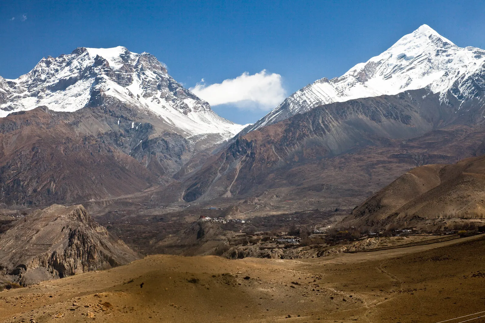
A short trek in Lower Mustang from Jomsom via Kagbeni to the Muktinath temple (about 3,760 m) and back through Marpha, with flights from and to Pokhara.
Annapurna Circuit · 11 days