
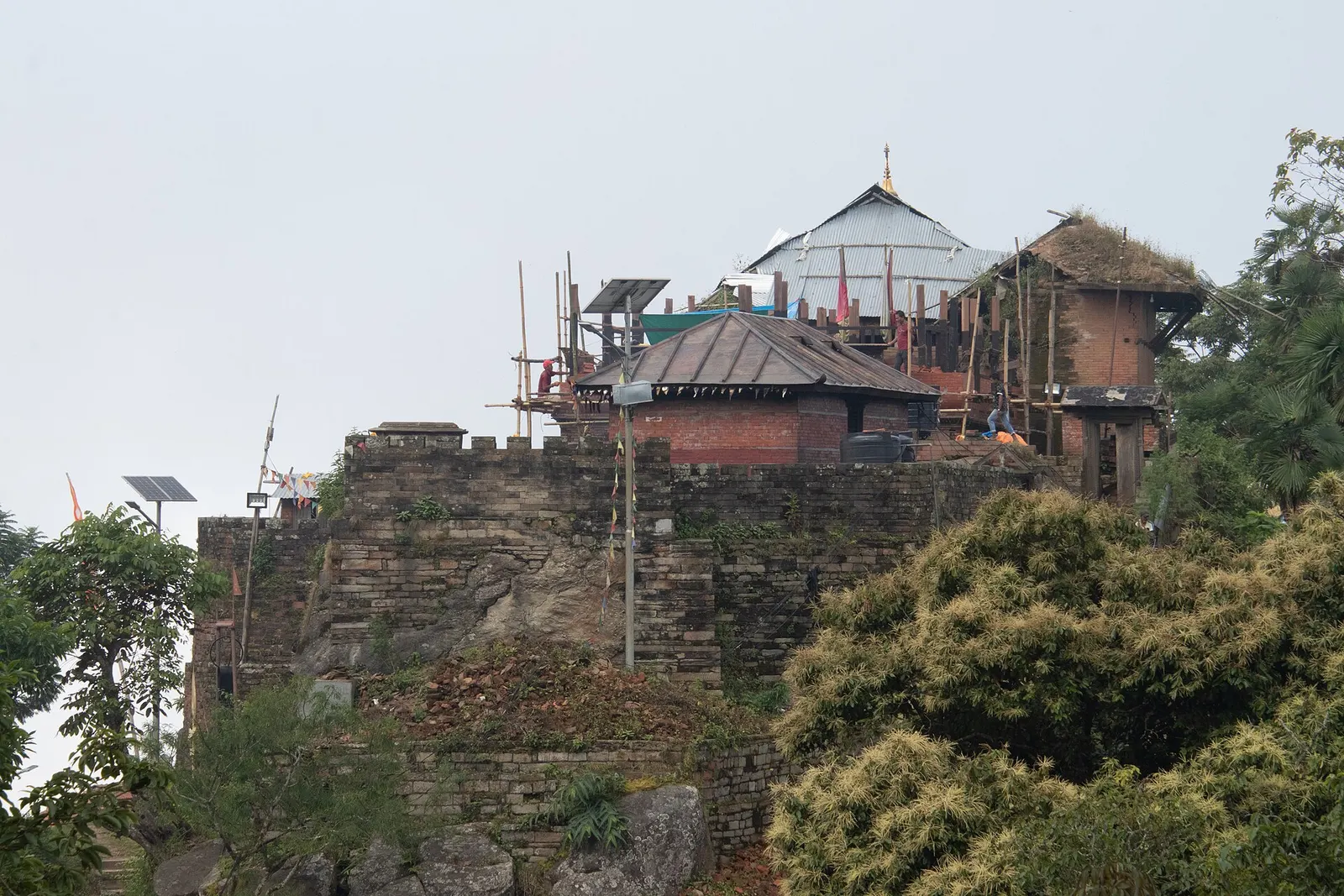
Temple, monastery or heritage site · 1,135 m
Gorkha
The hill town where the Shah kings ruled the Gorkha Kingdom and Prithvi Narayan Shah began the unification of Nepal.
Gandaki Provinceगोरखा
Birthplace of the Shah kings, home to Gorkha Durbar and the Manakamana temple, and gateway to the Manaslu and Tsum Valley treks.
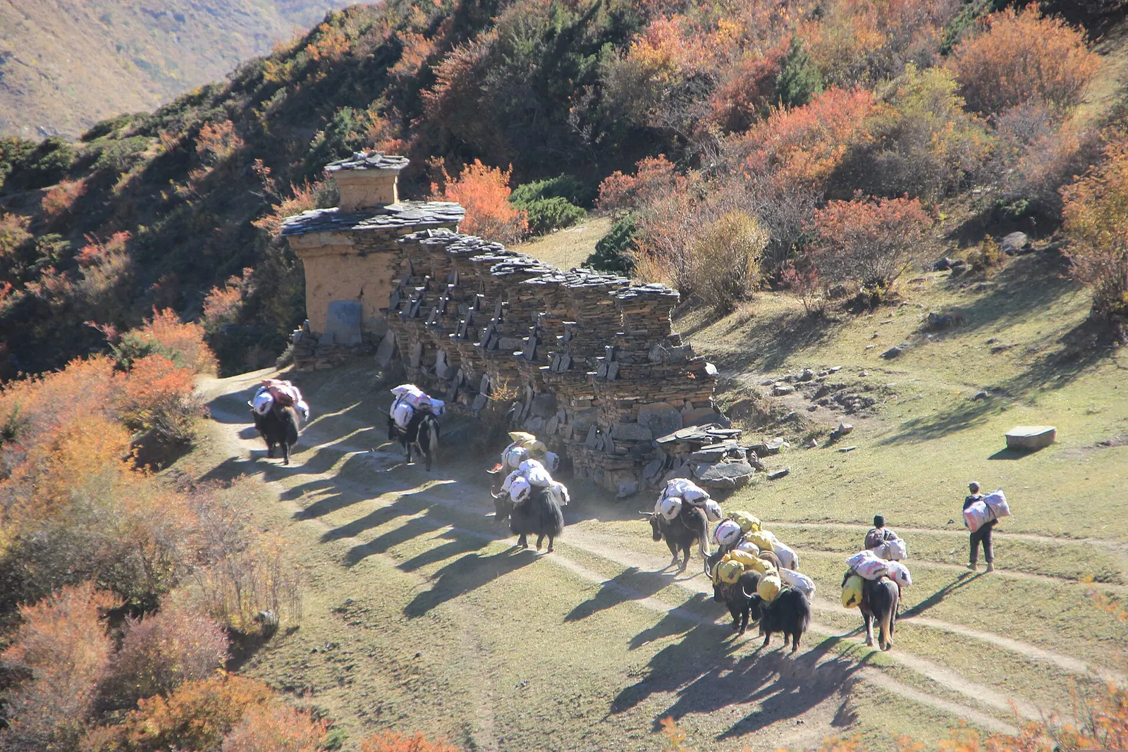
Gorkha stretches from low river valleys near the Trishuli in the south to the Tibetan border in the north, rising through the middle hills to Manaslu and its neighbouring peaks. The Budhi Gandaki forms much of its eastern edge with Dhading, while Lamjung lies to the west and Tanahun and Chitwan to the south. The hill town of Gorkha sits on a ridge with the old palace above it.
The district is remembered as the seat of Prithvi Narayan Shah, who began the unification of Nepal from here. Gurung, Magar, Tamang and Brahmin-Chhetri communities live in the middle hills, while the upper Budhi Gandaki is home to Tibetan Buddhist villages in Nubri and the Tsum Valley. Gorkha was close to the epicentre of the 2015 earthquake. Travellers come for Gorkha Durbar, for pilgrimage to Manakamana and for the Manaslu circuit.
Temple, monastery or heritage site · 1,135 m
The hill town where the Shah kings ruled the Gorkha Kingdom and Prithvi Narayan Shah began the unification of Nepal.
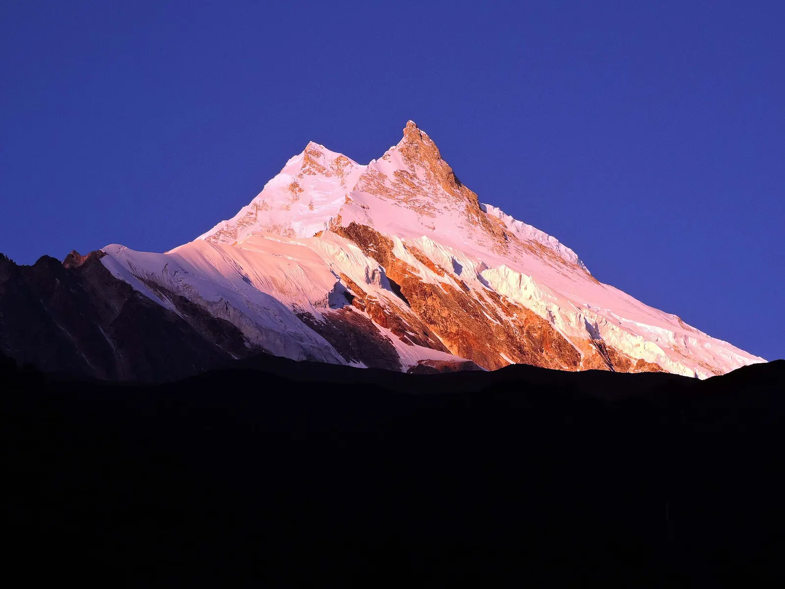
Valley or region
A restricted trekking region around the world's eighth-highest mountain, from the Budhi Gandaki gorge to Tibetan-Buddhist villages and the Larkya La.
Temple, monastery or heritage site · 3,700 m
The highest monastery of the Tsum Valley, set on a bare ridge near the Tibetan border at the head of the valley.
Temple, monastery or heritage site · 3,240 m
A Buddhist nunnery on a terrace of the upper Tsum Valley, near Milarepa's cave and the villages of Chhokang Paro.
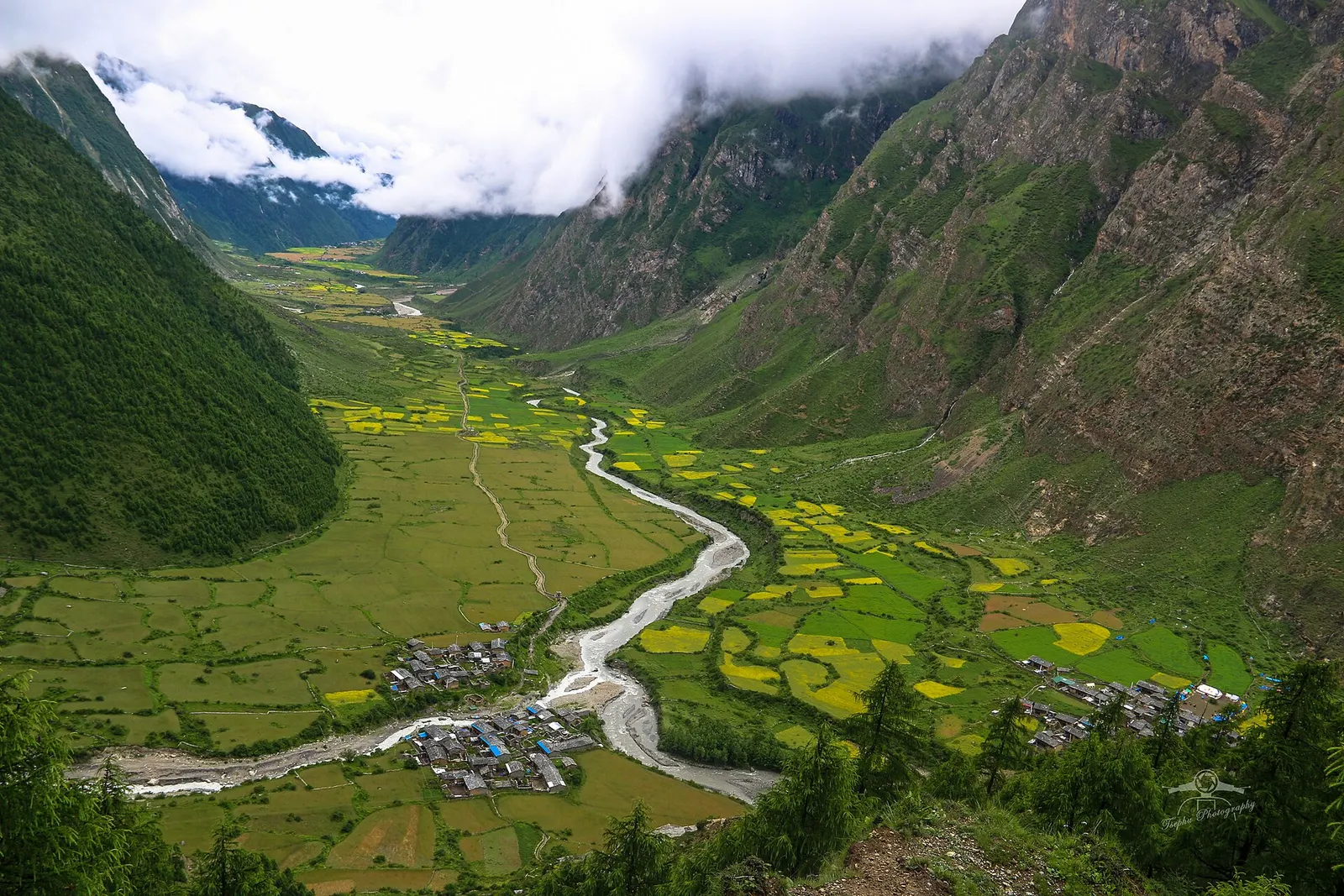
Valley or region
A restricted Buddhist side valley of the Manaslu region, with monasteries, Milarepa's cave and villages near the Tibetan border.
Gorkha bazaar is reached by a side road from Abukhaireni on the Prithvi Highway, a few hours' drive from Kathmandu or Pokhara. For Manaslu, jeeps run from Arughat up the Budhi Gandaki to Machha Khola and beyond, depending on road conditions. The nearest airports are Bharatpur and Pokhara.
Autumn and spring are best for trekking and mountain views; the monsoon brings leeches and landslides to the Budhi Gandaki valley, and winter snow can close the Larkya La.
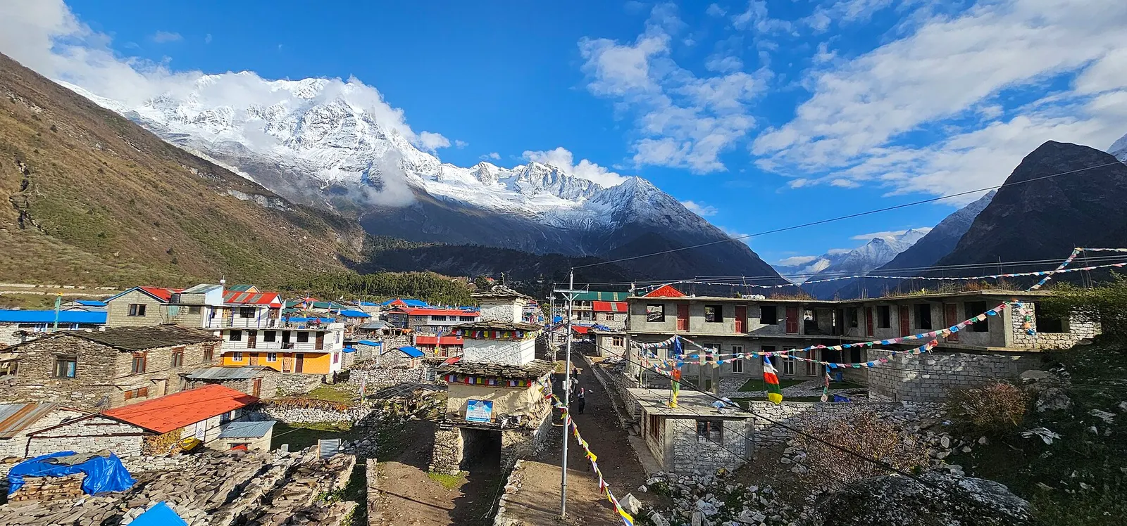
A restricted-area teahouse trek around Manaslu (8,163 m), up the Budhi Gandaki gorge through Gurung and Nubri villages, over the Larkya La (about 5,106 m) and down to Dharapani on the Annapurna Circuit.
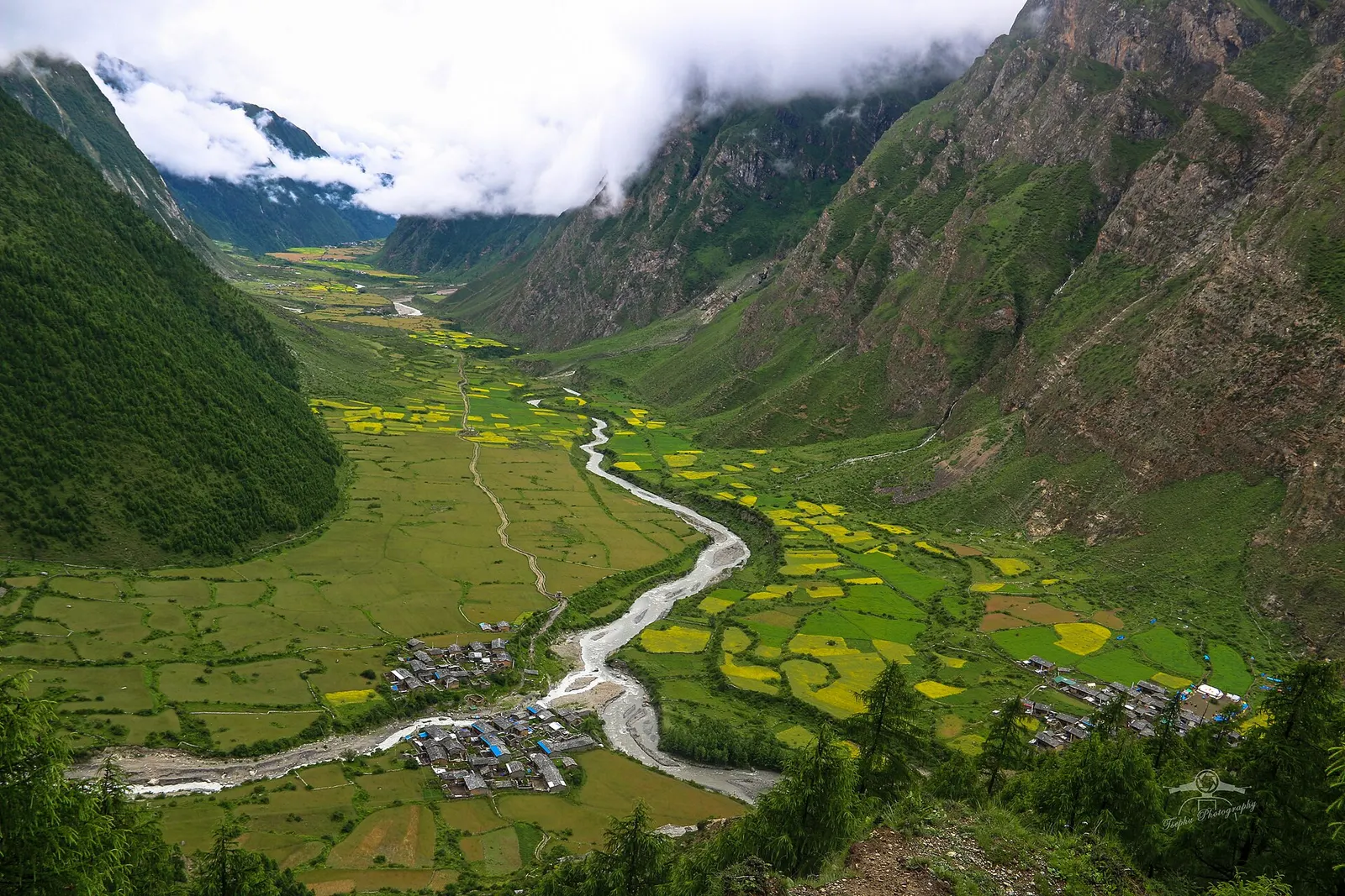
A restricted-area trek from the Budhi Gandaki into the Buddhist Tsum Valley in northern Gorkha, through Chumling, Chhokang Paro and Nile to Mu Gompa (about 3,700 m) near the Tibetan border. Often combined with the Manaslu Circuit.