
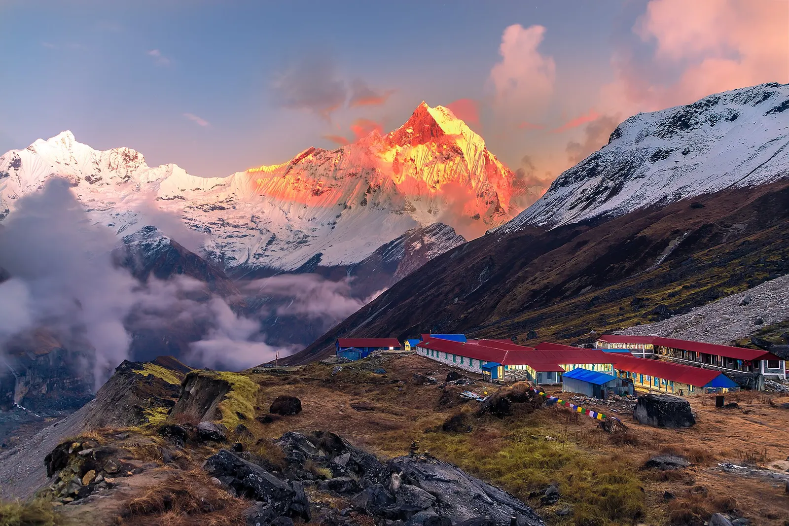
National park or conservation area
Annapurna Region
Nepal's largest protected area, from Gurung hill villages and rhododendron forest to the dry valleys behind the Annapurna range.
Gandaki Provinceमुस्ताङ
High desert of the Kali Gandaki, from apple orchards at Marpha to the walled city of Lo Manthang and the shrine of Muktinath.
Mustang lies north of the Dhaulagiri and Annapurna massifs, with the Kali Gandaki running down its length from the Tibetan border through one of the deepest gorges in the world. The south, around Jomsom and Marpha, is a windswept valley of apple orchards and pine, while the north opens into the dry, eroded cliffs of Upper Mustang. Manang lies to the east, Myagdi to the south and Dolpa to the west.
Thakali communities live in the lower valley, long known for trade and hospitality, while the Loba people of Upper Mustang keep Tibetan Buddhist traditions and the walled town of Lo Manthang. Muktinath is sacred to both Hindus and Buddhists and draws pilgrims year round. Travellers come for the Annapurna circuit's descent from the Thorong La, for jeep trips along the valley, and for the restricted area of Upper Mustang.
National park or conservation area
Nepal's largest protected area, from Gurung hill villages and rhododendron forest to the dry valleys behind the Annapurna range.
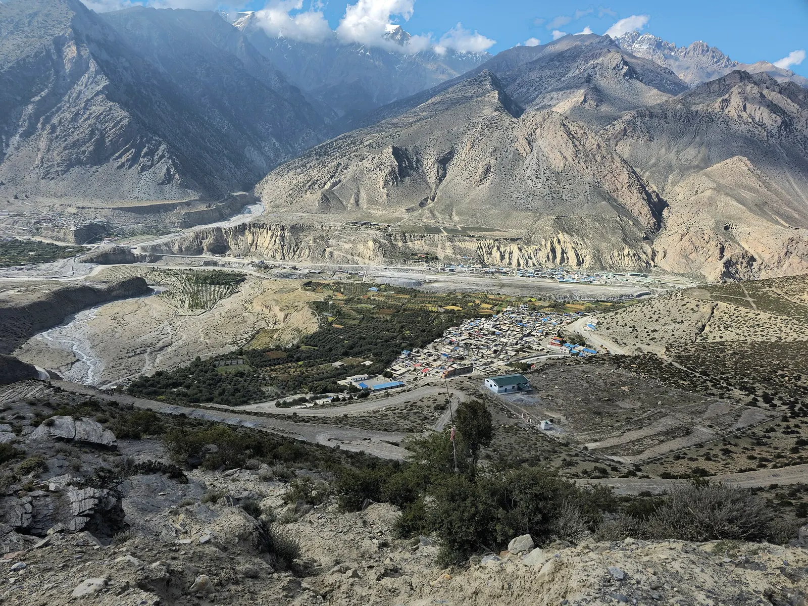
Town or village · 2,743 m
Mustang's headquarters and airstrip town on the Kali Gandaki, under the walls of Nilgiri and Dhaulagiri.
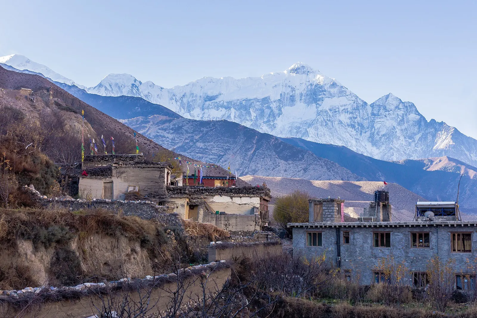
Town or village · 2,804 m
A medieval mud-brick village at the confluence of two rivers, the gateway between Lower and Upper Mustang.
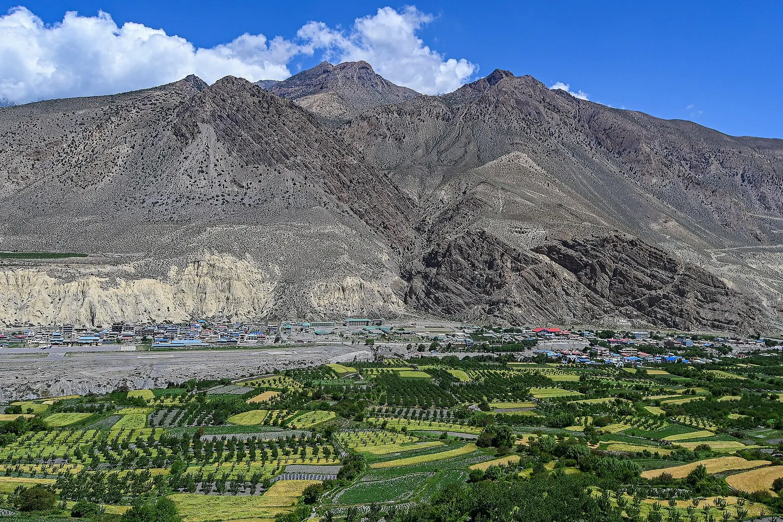
Town or village · 3,840 m
The walled former capital of the Kingdom of Lo, with a royal palace and monasteries from the 15th century.
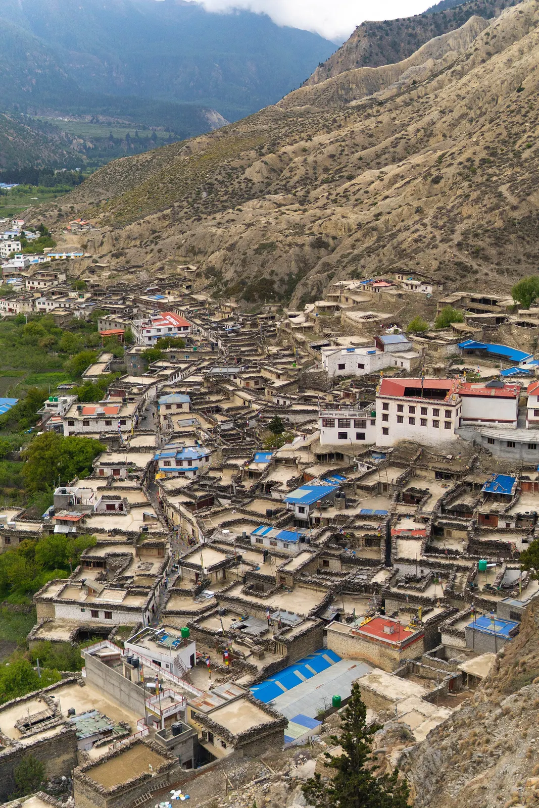
Town or village · 2,670 m
A Thakali village of whitewashed stone houses, flagstone lanes and apple orchards in the Kali Gandaki valley.
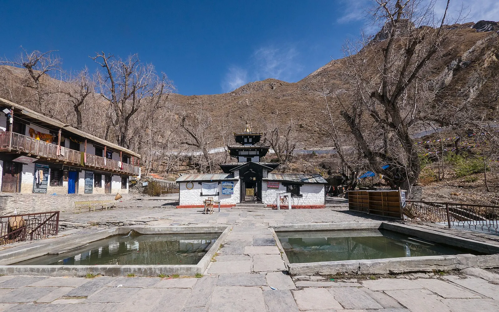
Temple, monastery or heritage site · 3,762 m
A high temple complex below the Thorong La, sacred to Hindus as Mukti Kshetra and to Buddhists as Chumig Gyatsa.
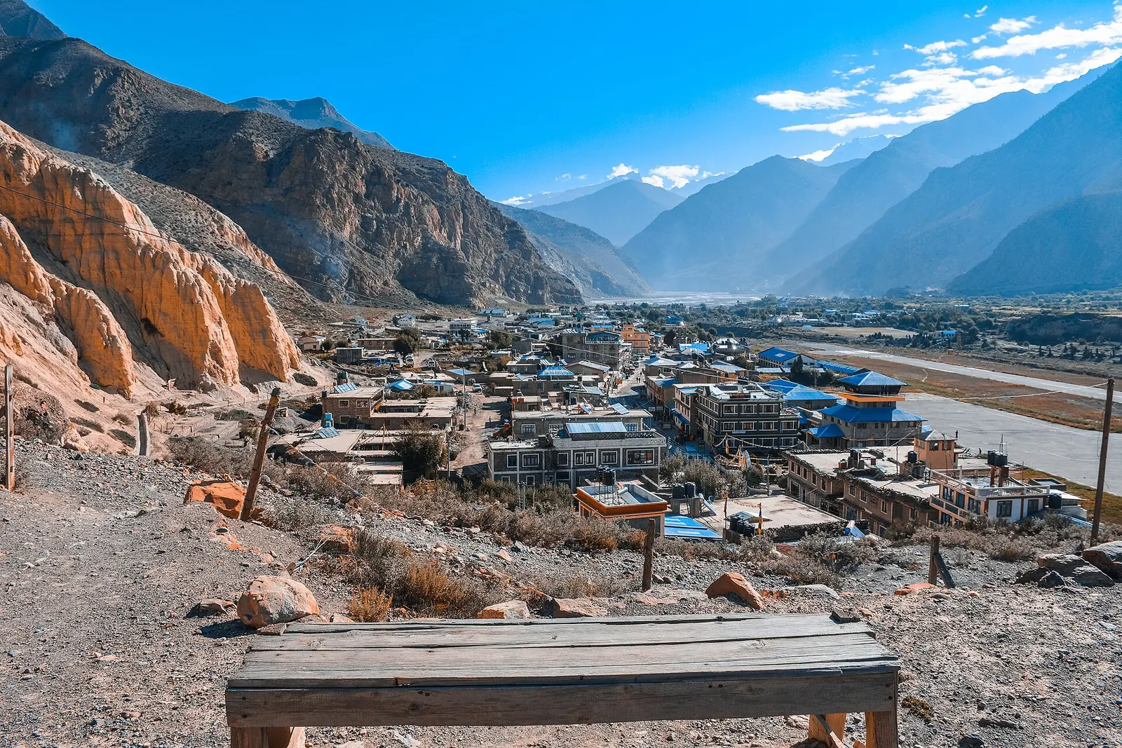
Valley or region
A trans-Himalayan district along the Kali Gandaki, from Thakali villages and apple orchards to the walled towns of the old Kingdom of Lo.
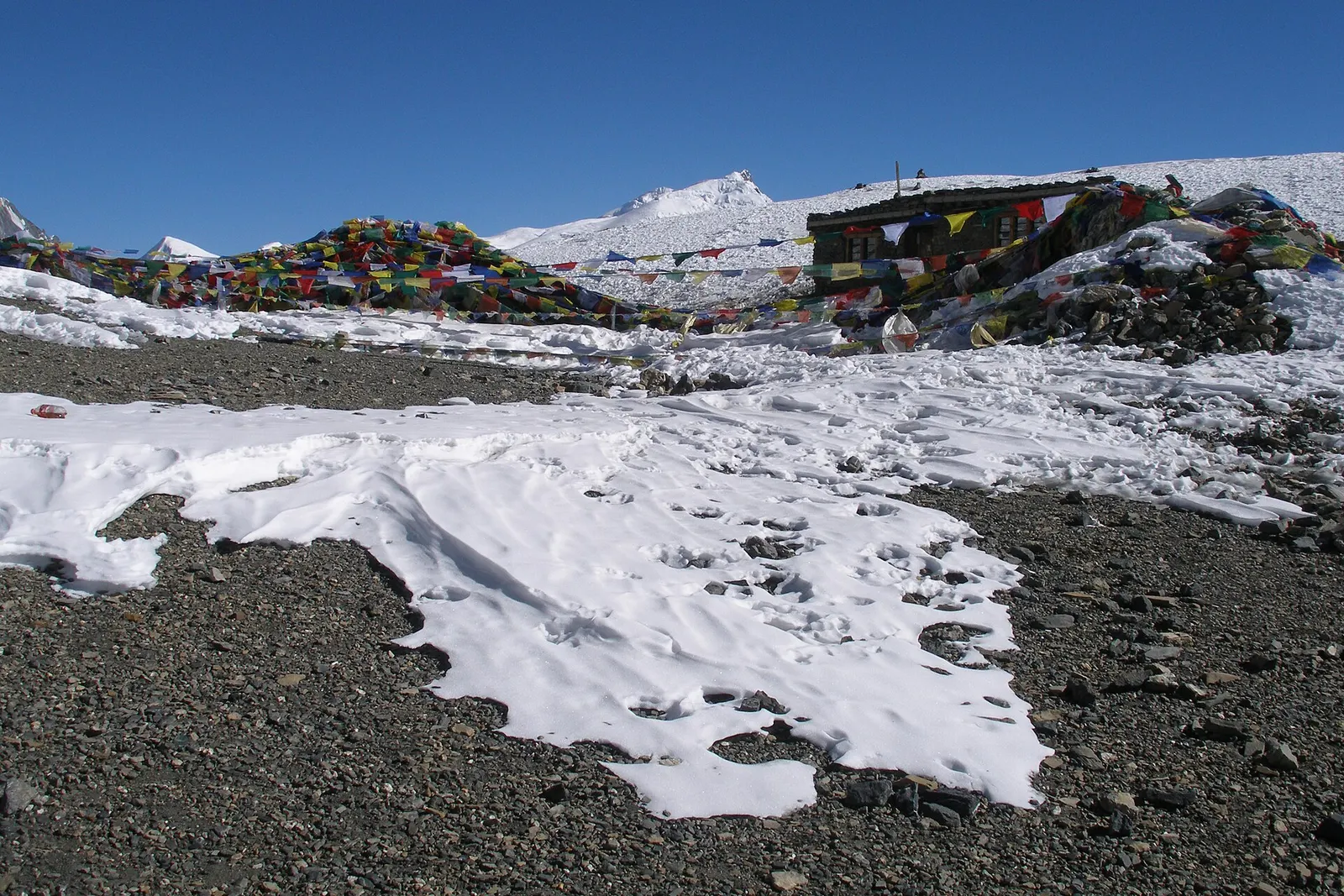
Mountain pass · 5,416 m
The 5,416 m pass between Manang and Muktinath, the high point of the Annapurna Circuit.
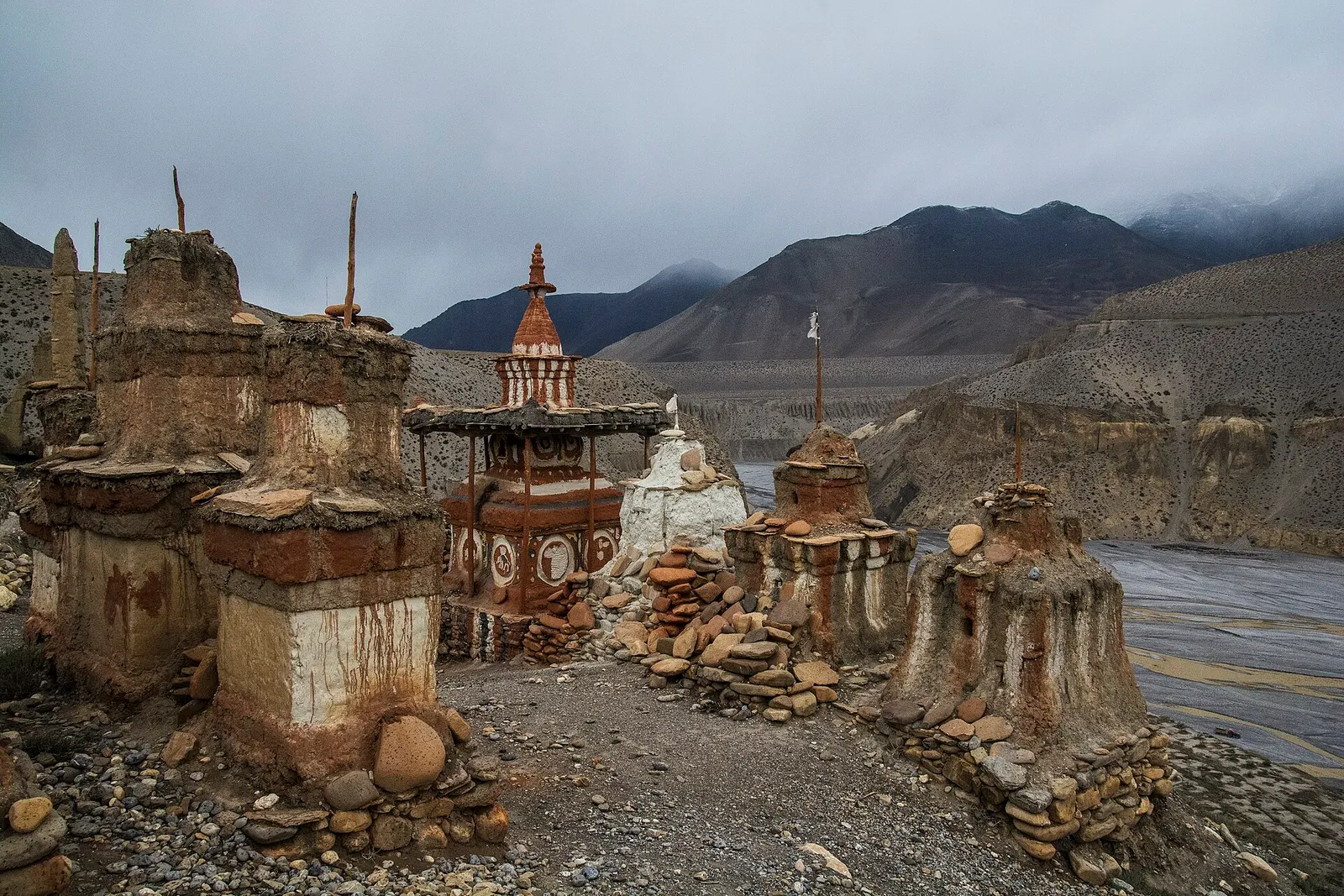
Valley or region
The old Kingdom of Lo: a dry, wind-carved valley of cave cliffs, red monasteries and walled villages north of Kagbeni.
Short flights link Pokhara and Jomsom in good weather, landing in the morning before the strong valley winds rise. By road, jeeps and buses follow the Kali Gandaki from Beni to Jomsom, a long day on a rough road from Pokhara, with jeeps continuing to Muktinath and Lo Manthang.
Spring and autumn are best for most of the district; Upper Mustang, in the rain shadow, can also be visited during the monsoon, while winter is cold and many upper villages partly empty.
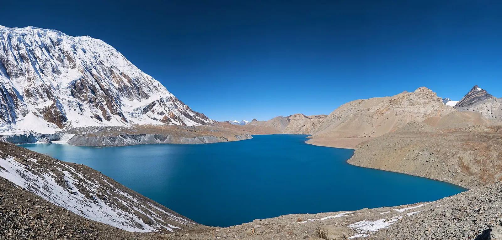
A teahouse journey around the Annapurna massif, from the green Marsyangdi valley through Manang and over the Thorong La (5,416 m) to Muktinath and the dry Kali Gandaki valley.
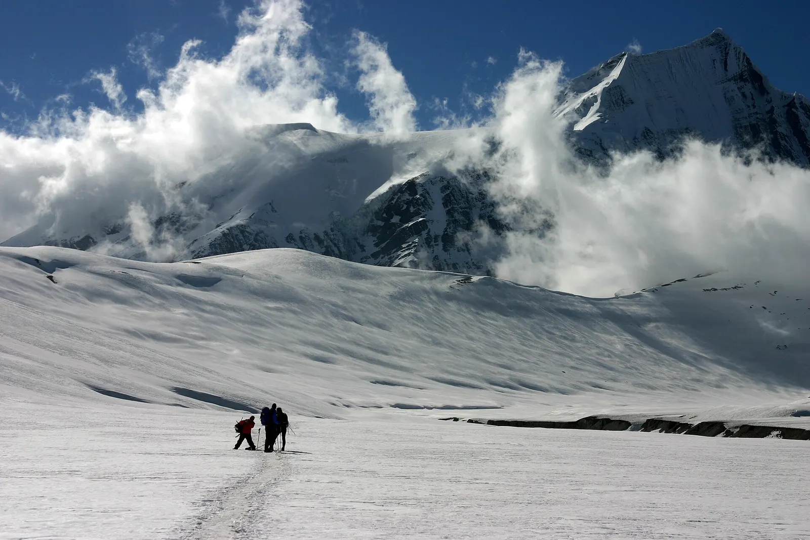
A remote camping trek from the Myagdi valley to Dhaulagiri Base Camp, over French Pass (about 5,360 m) into Hidden Valley and over Dhampus Pass to Marpha in Mustang.
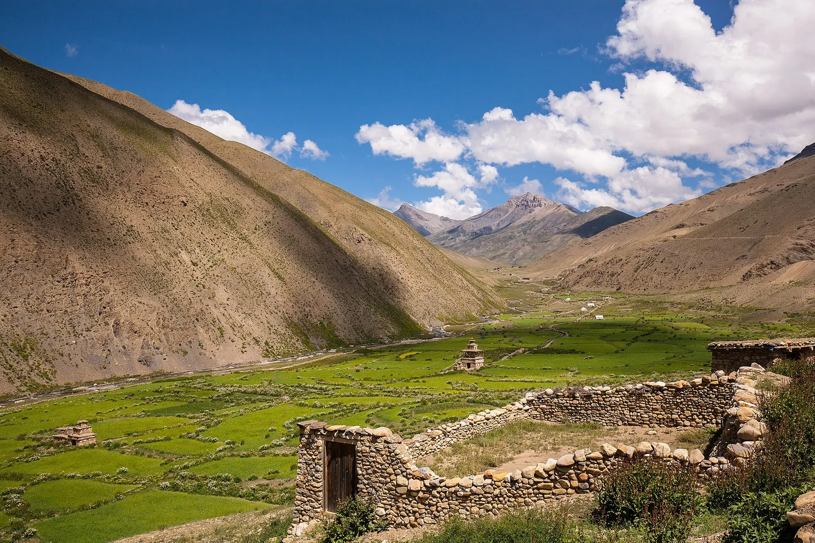
A remote camping traverse from Juphal up the Tarap valley to Dho Tarap, east over high passes to Chharka Bhot, and over the Sangda La into Mustang to finish at Jomsom.
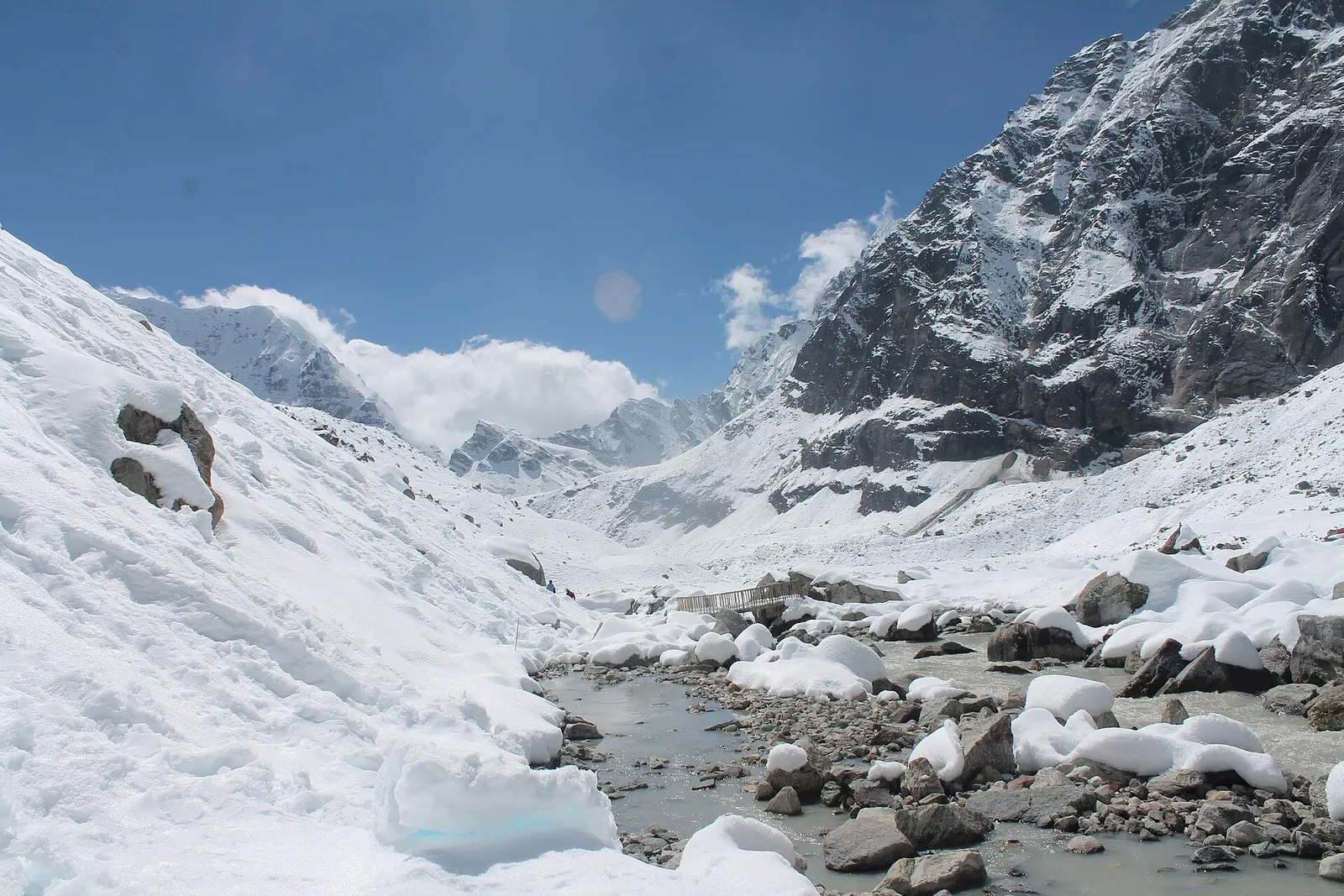
A network of high and mid-hill routes about 1,700 km long that crosses Nepal from Kanchenjunga in the east to Humla and the far west, usually walked in sections, or as a through-trek of about four to five months.
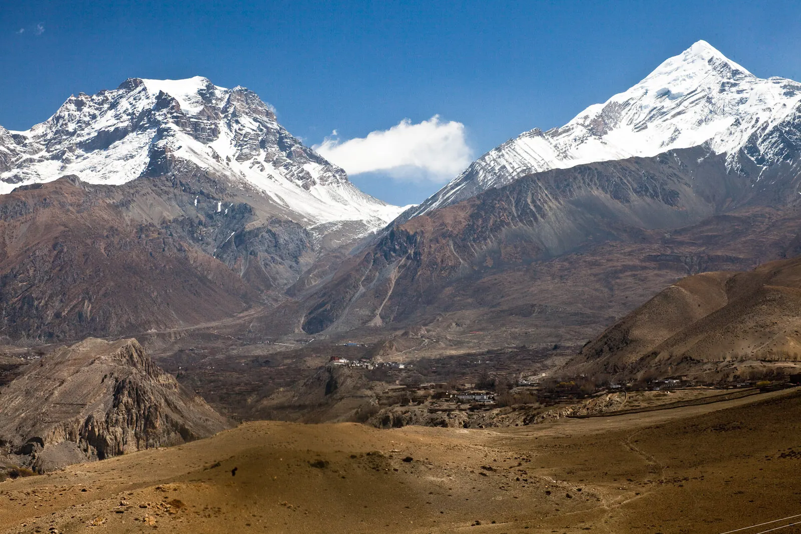
A short trek in Lower Mustang from Jomsom via Kagbeni to the Muktinath temple (about 3,760 m) and back through Marpha, with flights from and to Pokhara.
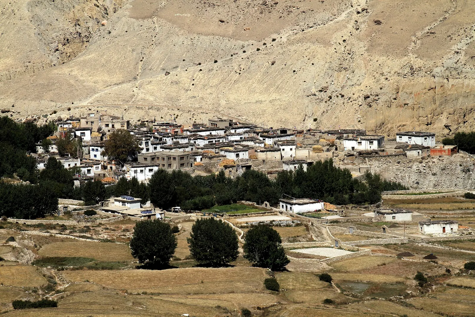
A restricted-area trek north from Kagbeni through the eroded canyons of the former Kingdom of Lo to the walled town of Lo Manthang, returning via Lo Gekar and Dhakmar.