Skip to content

Manasluलार्क्या ला

Larkya La

The high pass of the Manaslu Circuit, a long glacial crossing from the Budhi Gandaki to the Marsyangdi side.

Plan a trip here
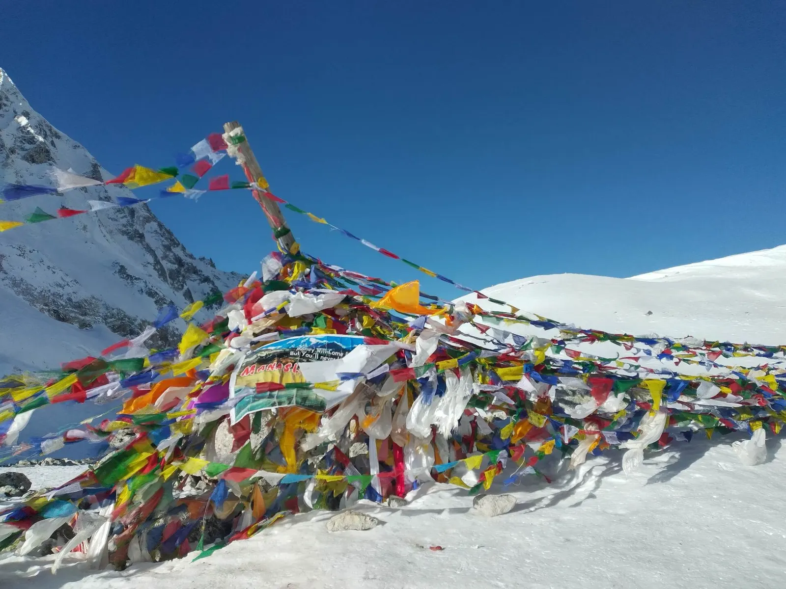
Prayer flags at the Larkya La pass with snow peaks around it.
Photo: SoshinDrechsler (CC BY-SA 4.0)
Altitude
5,106 m*
Best months
Apr-May, Oct-Nov
Type
Mountain pass
District
Manang, Gandaki
Permit
Restricted-area permit

Higher seasonal exposure: altitude (All year), snow (Oct-May), seasonal closure (Dec-Feb), cold (Nov-Mar), landslides (Jun-Sep).

Why go

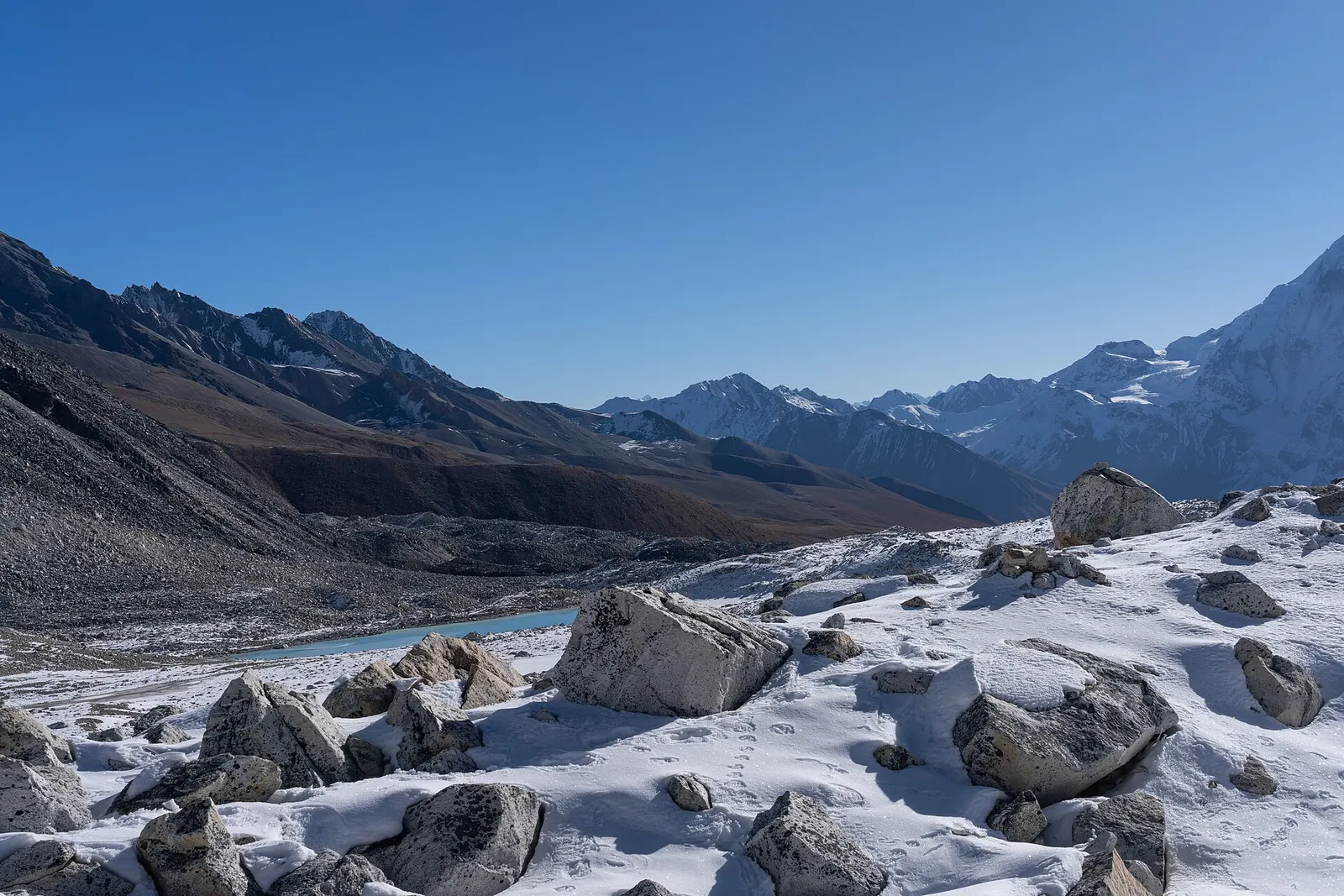
The Larkya La is the highest point of the Manaslu Circuit at about 5,106 m and the crux of the trek. It crosses from the head of the Budhi Gandaki valley, above Samdo, to Bimthang and the Dudh Khola, which flows down to the Marsyangdi and the Annapurna Circuit. It is one of the longer pass crossings in the Nepal Himalaya, with a gradual approach over moraine and a steep, often icy descent.

Trekkers spend the night before at Dharamsala, also called Larke Phedi (about 4,460 m), a small seasonal stop with basic lodging, and set off well before dawn. The climb crosses moraine, scree and, depending on the season, snow, to a ridge hung with prayer flags. From the top there are wide views of Himlung Himal, Cheo Himal, Kang Guru and the Annapurna II area. The descent to Bimthang loses well over 1,000 m.

Within the Manaslu destination, the pass is the link between the Tibetan-Buddhist upper Budhi Gandaki and the Marsyangdi valley; once over it, the route soon joins roads and the Annapurna region.
History and culture

The pass was part of the network of trade and grazing routes used by the people of Nubri and Manang, including routes to Tibet. Prayer flags at the top are renewed by guides and trekkers, and many groups stop briefly for offerings or a photograph before beginning the descent. Teahouse trekking over the pass became possible only around 2010, when lodges opened at Dharamsala; before that, groups camped.

Things to do in Larkya La

  • Cross the pass

    Leave Dharamsala around 4-5 am, reach the top in roughly 4-5 hours and descend to Bimthang in another 3-4 hours.

  • Rest at Bimthang

    Recover in the high meadows of Bimthang, with views back towards Manaslu and the pass.

Weather and the best time to visit Larkya La

Weather in Larkya La

Forecast for 5,106 m. Conditions change fast in the mountains.

Weather data: MET Norway, licensed CC BY 4.0. A forecast, not a guarantee.

Best time to visit

Apr-May, Oct-Nov

  1. Jan
  2. Feb
  3. Mar
  4. Good month: Apr
  5. Good month: May
  6. Jun
  7. Jul
  8. Aug
  9. Sep
  10. Good month: Oct
  11. Good month: Nov
  12. Dec
Autumn (Sep-Nov)
October to mid-November is the most reliable time to cross; fresh snow is possible from November.
Winter (Dec-Feb)
December to February usually brings deep snow and the pass is often closed; upper lodges shut.
Spring (Mar-May)
April and May are good; in March snow can still make the crossing difficult.
Monsoon (Jun-Aug)
June to August brings cloud, rain and snow at altitude, plus landslides in the lower valley; rarely attempted.

Where to stay

No overnight stays

No accommodation on the pass; stay at Dharamsala (Larke Phedi) before and Bimthang after.

No partner stays are listed here yet. List a property.

Getting there

Reach the pass only on foot, after about 8-10 days walking up the Budhi Gandaki from Soti Khola with acclimatisation stops at Samagaon and Samdo.

Nearest hub: Samdo (Manaslu Circuit)

  • trekSamdo to Dharamsala (Larke Phedi), roughly 3-4 hours; Dharamsala over the pass to Bimthang, roughly 8-10 hours.
  • trekFrom Bimthang, 1-2 days down via Tilije to Dharapani on the Marsyangdi, where roads lead to Besisahar.

Getting to Larkya La, by mode

Nearest hub: Samdo. Times are typical ranges, not schedules, and vary with roadworks, weather and the season.

  • On footfrom Dharmasala (Larke Phedi)about 4-6 h4-6 h from Dharmasala, about 650 m of ascent from roughly 4,460 m to 5,106 m; 8-10 h in all to Bimthang

    Reached only on foot, after about 8-10 days up the Budhi Gandaki with acclimatisation stops at Samagaun and Samdo. The ground is moraine and rock, with snow or ice depending on the season.

    When to set off: parties normally leave Larke Phedi before dawn, so that the pass is crossed and the long descent begun early in the day

    Manaslu Trek, Wikivoyage

Where people go next

  • Bimthangon foot, about 4-6 hSteep descent of roughly 1,400 m on loose rock and glacial ground.
  • Dharmasala (Larke Phedi)on foot, about 2-4 hBack down to the pass-foot shelter if the crossing is turned back.
  • Dharapani (Manang)on footTwo to three more days down via Bimthang and Tilije to the Marsyangdi road.
Mount Everest 8,848.86Kangchenjunga 8,586Dhaulagiri I 8,167Manaslu 8,163Annapurna I 8,091Larkya LaKathmandu
Boundary: Government of Nepal, Survey Department (2020). Peak data: Wikidata.

Permits and fees

Restricted-area permit

The approach to the Larkya La is inside the Manaslu restricted area: foreigners need a restricted area permit through a registered agency, the Manaslu Conservation Area permit and, for the descent, the Annapurna Conservation Area permit.

  • Manaslu restricted area permit: Arranged through a registered trekking agency; see the Manaslu page.
  • Manaslu Conservation Area permit: Required on the Budhi Gandaki side.
  • Annapurna Conservation Area permit: Required for Bimthang and the Marsyangdi side.

Verify before travel: permit rules and fees change. Checked 2026-10-06 against Department of Immigration: Trekking route and permit fee.

On the trail

On the Manaslu Circuit.

Previous stop:
Dharamsala (Larke Phedi)
Next stop:
Bimthang
A typical day:
The longest day of the circuit: 8-10 hours, about 650 m of ascent from roughly 4,460 m to 5,106 m, then about 1,400 m of steep descent to Bimthang (about 3,700 m) on loose rock, snow or ice.

Risks and conditions

Seasonal risks around Larkya La

What this place is typically exposed to, and when. These are seasonal patterns, not a report on conditions now.

  • Altitudehigh in a typical yearAll year

    At roughly 5,106 m, thin air affects most people. General information, not medical advice: gain height slowly, build in acclimatisation days, learn the symptoms of altitude sickness (headache, nausea, breathlessness, broken sleep) and go down if they get worse. See a doctor before travelling and carry insurance that covers helicopter evacuation.

    Larkya La, Wikipedia

  • Snowhigh in a typical yearOct-May

    The crossing runs over moraine and rocky ground and, depending on the season, snow or ice; the descent to Bimthang is steep on loose rock and glacial ground.

    Manaslu Trek, Wikivoyage

  • Seasonal closurehigh in a typical yearDec-Feb

    Heavy snow often blocks the Larkya La in deep winter and many upper lodges shut for the season, so the crossing is rarely attempted between December and February.

    Manaslu Trek, Wikivoyage

  • Coldhigh in a typical yearNov-Mar

    Pre-dawn starts at nearly 4,500 m and a long day above 5,000 m mean serious cold and wind exposure.

    Manaslu Trek, Wikivoyage

  • Landslideshigh in a typical yearJun-Sep

    The monsoon brings cloud, rain and wet snow at altitude as well as landslides in the Budhi Gandaki gorge on the approach, and the pass is rarely attempted then.

    Manaslu Trek, Wikivoyage

Check current conditions before you travel

Roads, trails, passes and flights change with the weather and with roadworks, and nothing on this page describes conditions today. Before you set off, check the Department of Hydrology and Meteorology for weather and flood warnings, the Nepal Disaster Risk Reduction Portal for incidents, and the local authority, police or your licensed operator for road, trail and flight status.

Practical tips

  • At over 5,100 m, altitude sickness is a serious risk; acclimatise at Samagaon and Samdo and turn back if symptoms worsen. This is general information, not medical advice.
  • Start before dawn to cross before afternoon wind and cloud; carry warm layers, gloves, a headtorch and microspikes in snowy conditions.
  • There is no mobile signal on the pass; carry enough water and snacks for 8-10 hours.
  • Follow your guide's decision on weather; crossings in fresh snow have caused accidents.

Treks through Larkya La

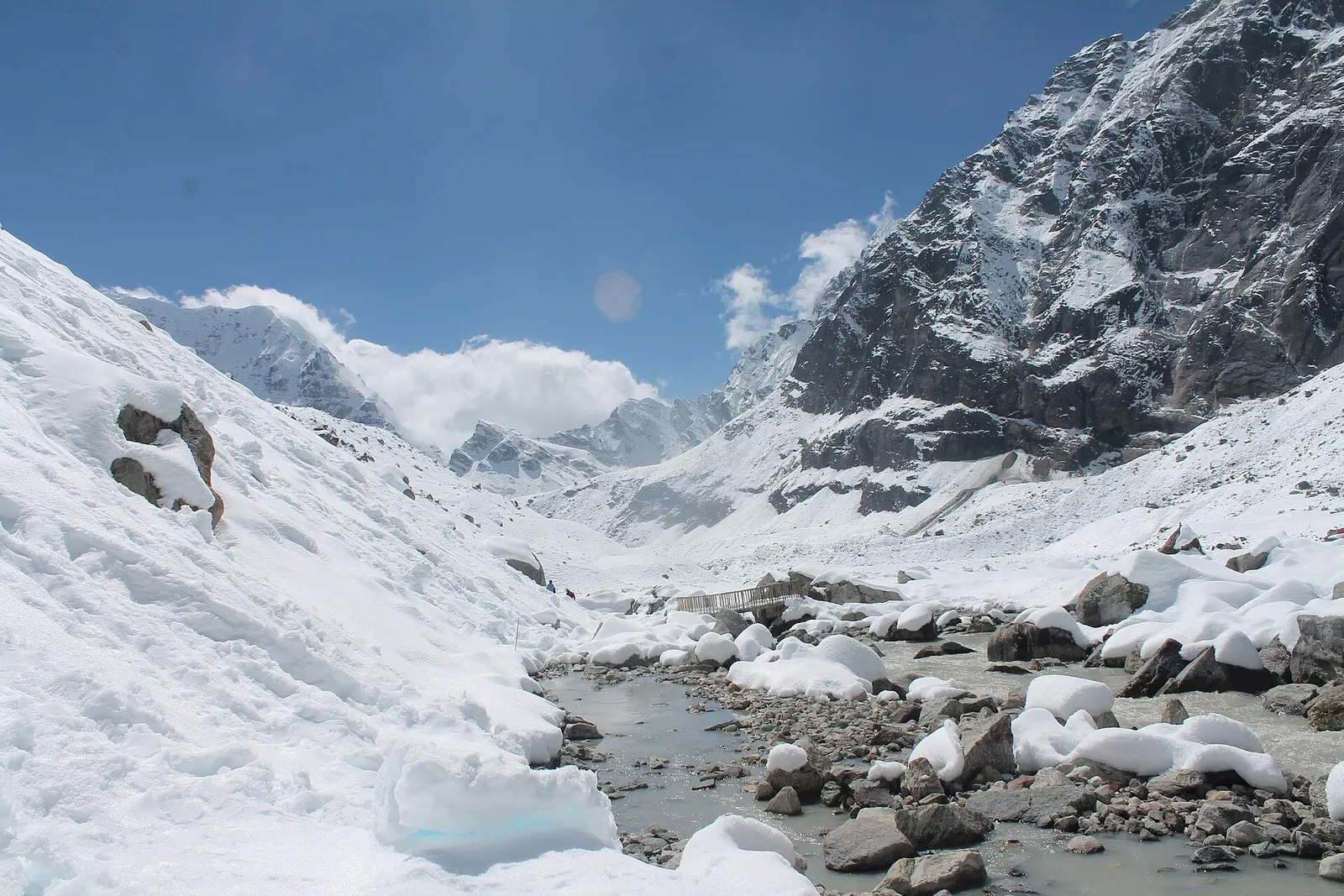
A snow-covered valley with a glacial stream and small footbridge at Makalu Base Camp, below steep rock walls.

A network of high and mid-hill routes about 1,700 km long that crosses Nepal from Kanchenjunga in the east to Humla and the far west, usually walked in sections, or as a through-trek of about four to five months.

Days
160 days
Maximum altitude
6,160 m
Difficulty
Challenging

Questions about Larkya La

How high is the Larkya La?

About 5,106 m, though some sources quote up to 5,160 m. It is the highest point of the Manaslu Circuit.

How long does it take to cross the Larkya La?

Usually 8-10 hours from Dharamsala to Bimthang, including about 4-5 hours of ascent.

When is the Larkya La closed?

Snow often closes it from December to February, and early or late snow can affect crossings in November and March.

Is altitude sickness a risk on the Larkya La?

Yes. Plan acclimatisation days at Samagaon and Samdo and descend if symptoms appear.

More in Manaslu

All of Manaslu
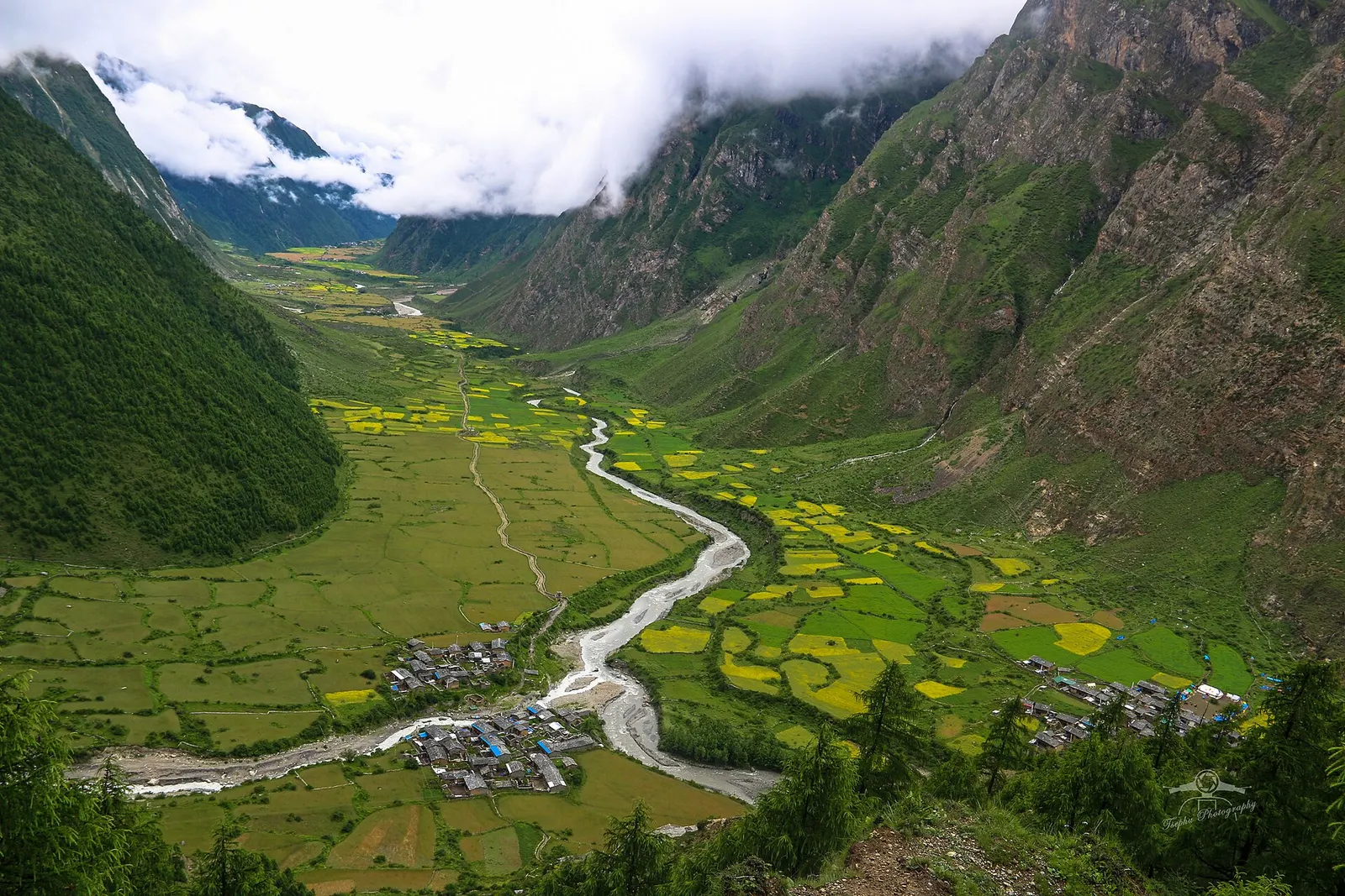
The Tsum Valley in Gorkha with terraced fields and forested slopes below snow peaks.

Valley or region

Tsum Valley

A restricted Buddhist side valley of the Manaslu region, with monasteries, Milarepa's cave and villages near the Tibetan border.

Trek stop · 3,590 m

Bimthang

A meadow settlement below the Larkya La, the first stop after the crossing.

Trek stop · 1,860 m

Deng

A small village at the head of the lower gorge on the Manaslu Circuit.

Trek stop · 4,460 m

Dharmasala (Larke Phedi)

The seasonal stop at the foot of the Larkya La, used the night before the crossing.

Trek stop · 1,340 m

Jagat (Gorkha)

A stone-paved village in the Budhi Gandaki gorge where the Manaslu restricted area begins.

Trek stop · 900 m

Machha Khola

A riverside village of lodges at the mouth of a side stream, the first night's stop for most Manaslu Circuit trekkers.

Trek stop · 2,630 m

Namrung

The first village of Nubri on the Manaslu Circuit, among barley fields and forest.

Trek stop · 1,570 m

Philim

A large Gurung village on the lower Manaslu Circuit, near the turn-off for the Tsum Valley.

Nearby

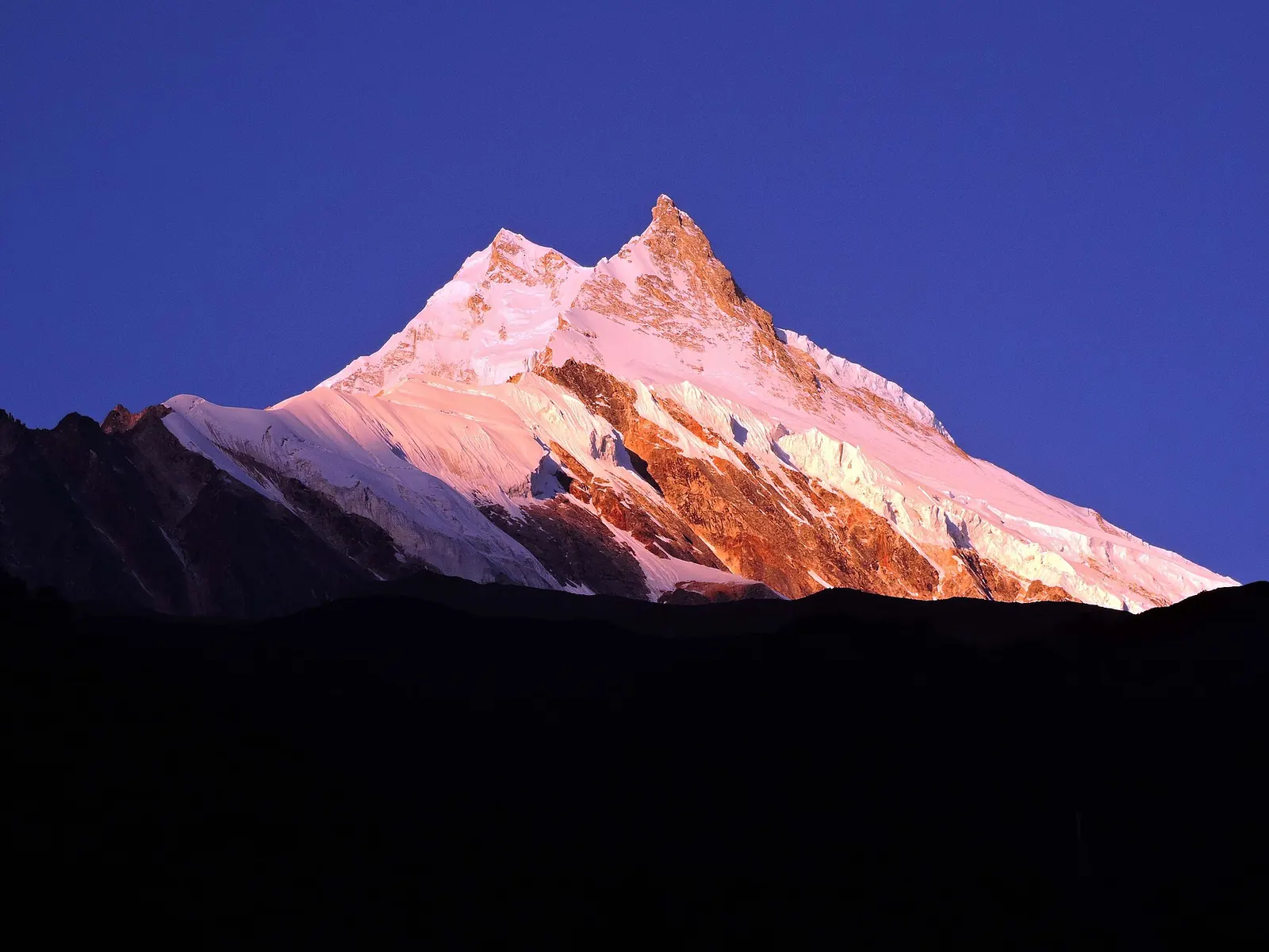
The snow-covered summit of Manaslu seen from Samagaon in the upper Budhi Gandaki valley.

Valley or region

Manaslu

A restricted trekking region around the world's eighth-highest mountain, from the Budhi Gandaki gorge to Tibetan-Buddhist villages and the Larkya La.

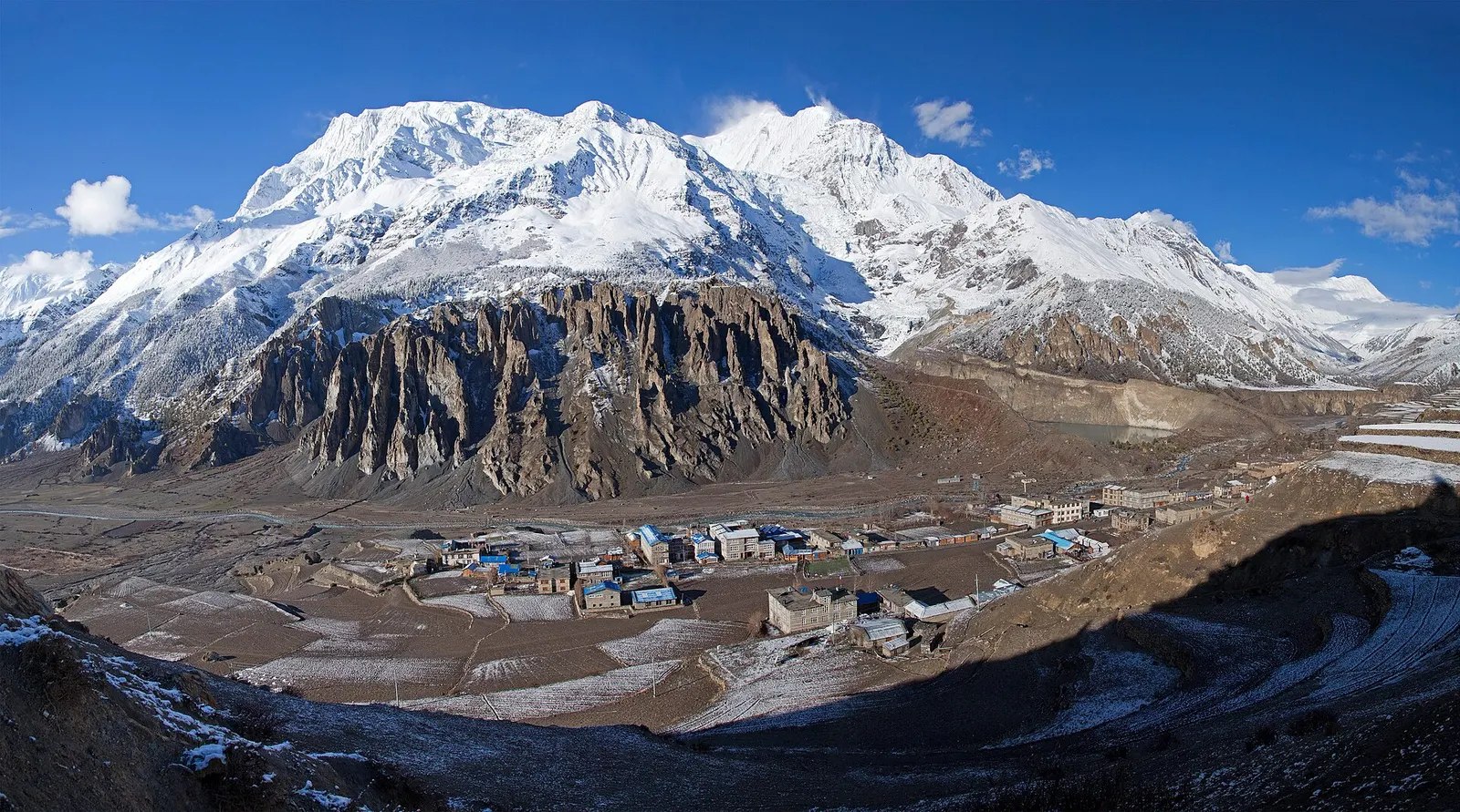
Manang village in the upper Marsyangdi valley with Annapurna III and Gangapurna behind.

Town or village · 3,519 m

Manang

A high stone village in the upper Marsyangdi valley below Annapurna III and Gangapurna, where Circuit trekkers stop to acclimatise.

Editorial draft: facts are being checked against the sources below. Last checked 2026-10-06. Sources: Larkya La, Wikipedia, Manaslu Trek, Wikivoyage, Department of Immigration: Trekking route and permit fee