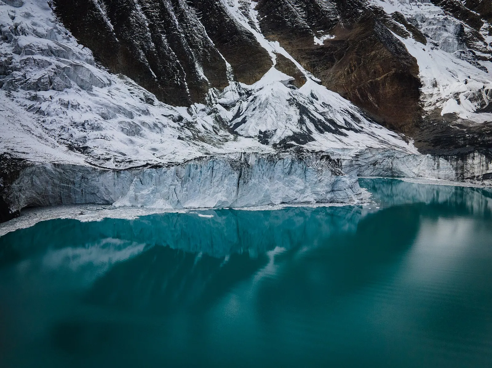
A side trek from Manang on the Annapurna Circuit to Tilicho Lake (about 4,919 m), a glacier-fed lake below Tilicho Peak, via Khangsar, Shree Kharka and Tilicho Base Camp.
- Days
- 10 days
- Maximum altitude
- 4,919 m
- Difficulty
- Strenuous
Manangतिलिचो आधार शिविर
A lodge stop below the moraine of Tilicho Peak, the starting point for the steep climb to Tilicho Lake.
Tilicho Base Camp is a small lodge settlement at about 4,100-4,200 m at the western end of the Khangsar Khola valley, below the slopes of Tilicho Peak. It exists to serve trekkers on their way to Tilicho Lake, about 4,919 m, which lies a steep 3-4 hour climb above.
Most trekkers arrive from Shree Kharka in about 3-4 hours, crossing a long section of unstable scree, then leave early the next morning for the lake. After visiting the lake they return to Base Camp, and many continue back to Shree Kharka the same day. The setting is stark: grey moraine, cliffs and glaciers, with blue sheep often seen on the slopes.
There is no permanent village here; lodges were built in the 2000s as visits to Tilicho Lake grew. The lake has religious meaning for some Hindus, who identify it with the Kak Bhusundi lake of the Ramayana, and pilgrims as well as trekkers make the climb. The lodges are run seasonally by families from Manang and Khangsar.
Climb to Tilicho Lake
Leave at first light for the 3-4 hour climb of about 750 m to the lake, aiming to arrive before the wind and cloud build in late morning.
Rest and acclimatise
Take the afternoon of arrival easy; a short walk up the moraine helps acclimatisation.
Forecast for 4,150 m. Conditions change fast in the mountains.
Weather data: MET Norway, licensed CC BY 4.0. A forecast, not a guarantee.
Mar-May, Oct-Nov
Two or three seasonal lodges that can fill up in October.
No partner stays are listed here yet. List a property.
Reached only on foot from Shree Kharka.
Nearest hub: Manang
Permit required
Inside the Annapurna Conservation Area, so an ACAP permit is required.
Verify before travel: permit rules and fees change. Checked 2026-10-06 against National Trust for Nature Conservation (ACAP).
On the Tilicho Lake trek, Annapurna Circuit (Tilicho side trip).
A side trek from Manang on the Annapurna Circuit to Tilicho Lake (about 4,919 m), a glacier-fed lake below Tilicho Peak, via Khangsar, Shree Kharka and Tilicho Base Camp.
About 3-4 hours up and 2 hours down, with roughly 750 m of ascent.
About 4,100-4,200 m.
No. Sleep at Tilicho Base Camp; there may be a seasonal tea shop at the lake but no rooms.
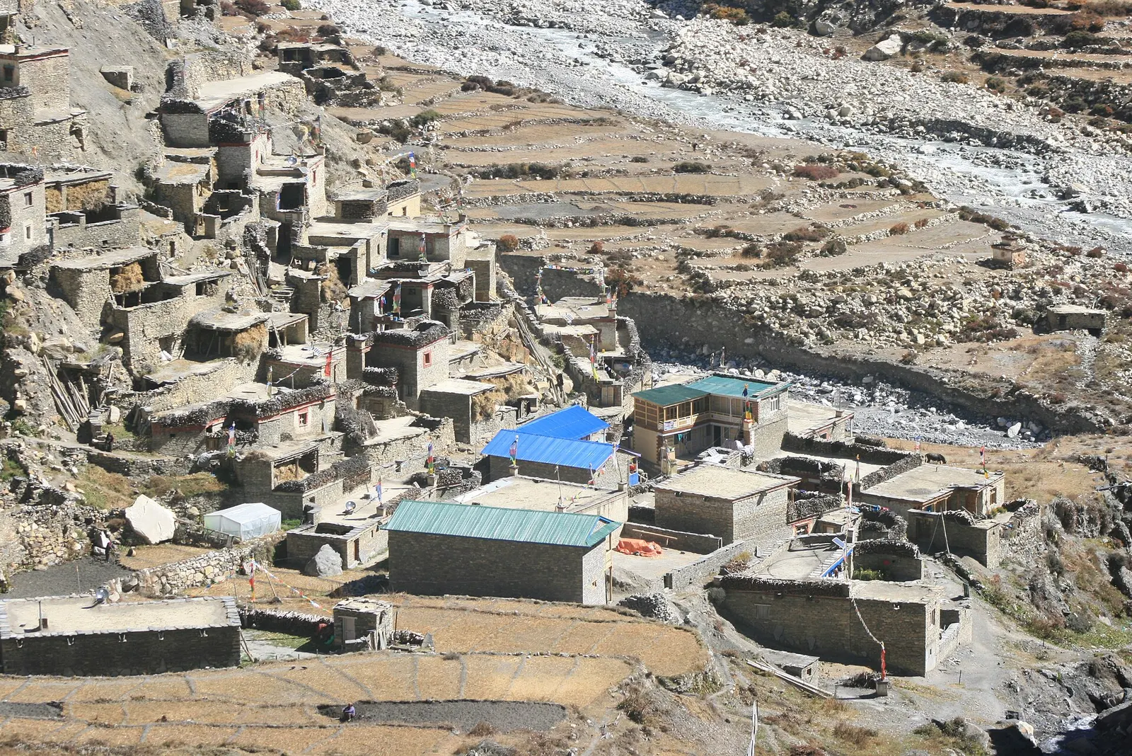
Valley or region · 4,150 m
A restricted high valley north of the Annapurna Circuit, with two old Tibetan Buddhist villages, Nar and Phu, reached through a narrow gorge from Koto.
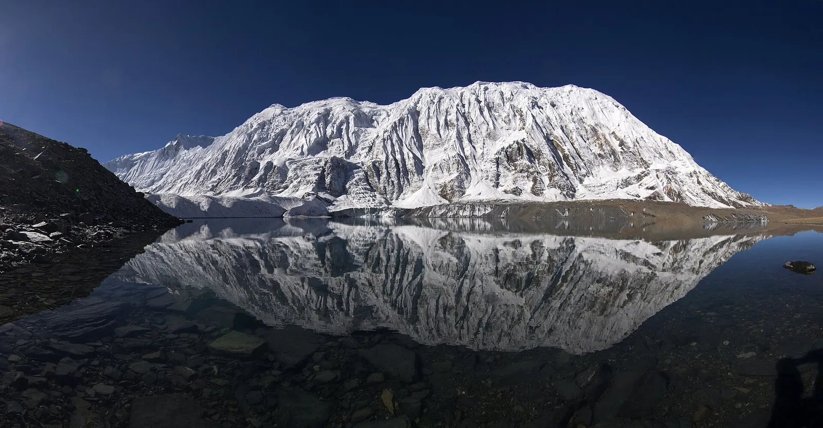
Lake · 4,919 m
A glacial lake at about 4,920 m beneath the ice walls of Tilicho Peak, reached on a demanding side trip from Manang.
Trek stop · 2,670 m
The district headquarters of Manang, a road-head town in fir and pine forest where most Annapurna Circuit trekkers spend a night.
Trek stop · 1,900 m
A Marsyangdi valley village where the Manaslu Circuit joins the Annapurna Circuit road.
Trek stop · 2,600 m
A small village in pine and fir forest on the Annapurna Circuit, just below Chame, and the start of the trail into the Nar Phu valley.
Trek stop · 3,660 m
A stone village high on the north side of the Manang valley, on the upper Annapurna Circuit route and at the foot of the Kang La from Nar.
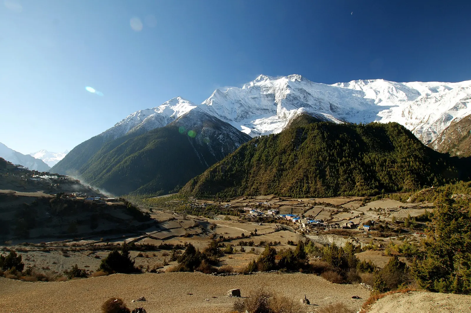
Trek stop · 3,300 m
Twin villages in the upper Marsyangdi, where the old stone houses of Upper Pisang look across to Annapurna II.
Trek stop · 4,070 m
A small lodge stop in high pasture west of Manang, on the trail to Tilicho Base Camp and Tilicho Lake.
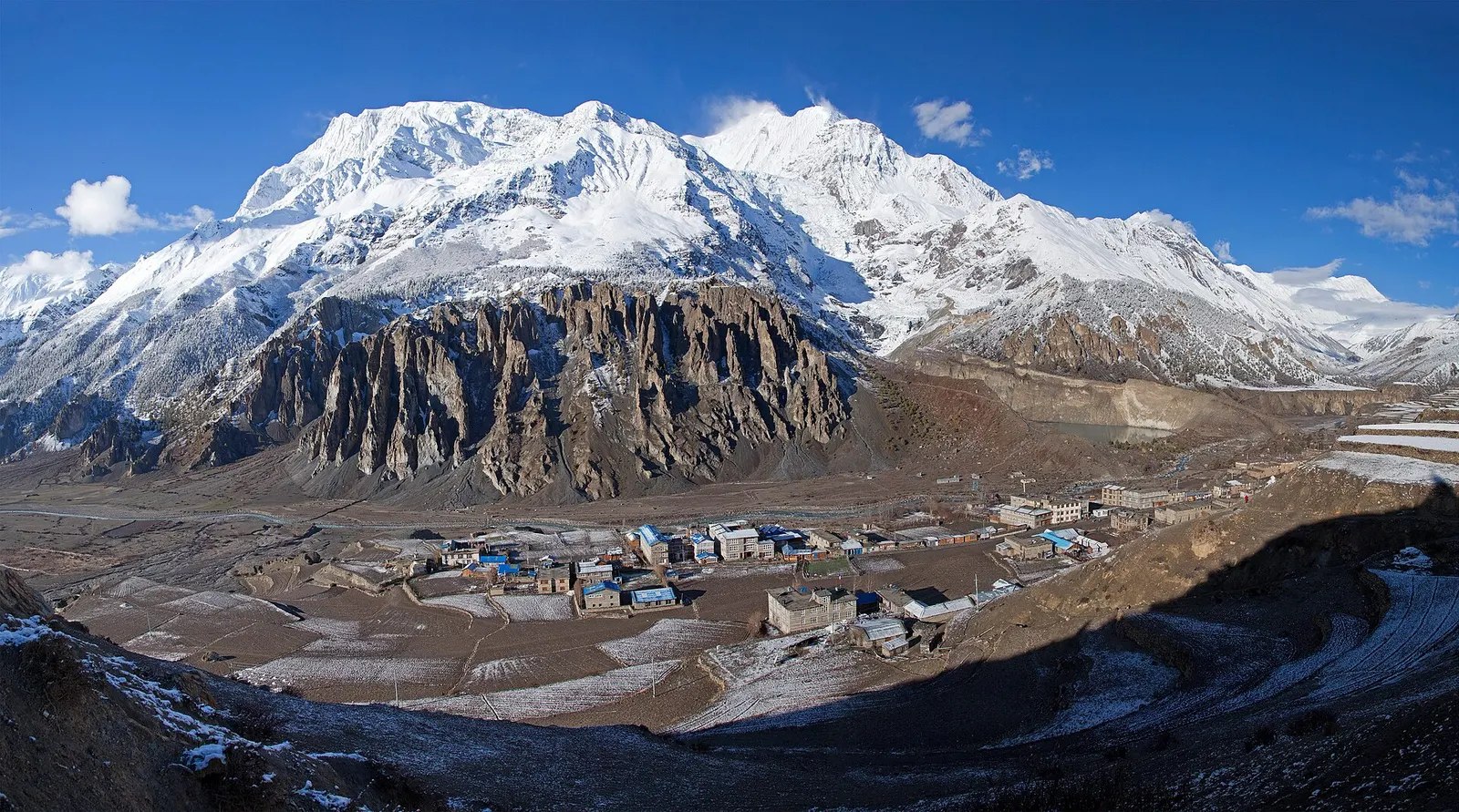
Town or village · 3,519 m
A high stone village in the upper Marsyangdi valley below Annapurna III and Gangapurna, where Circuit trekkers stop to acclimatise.