
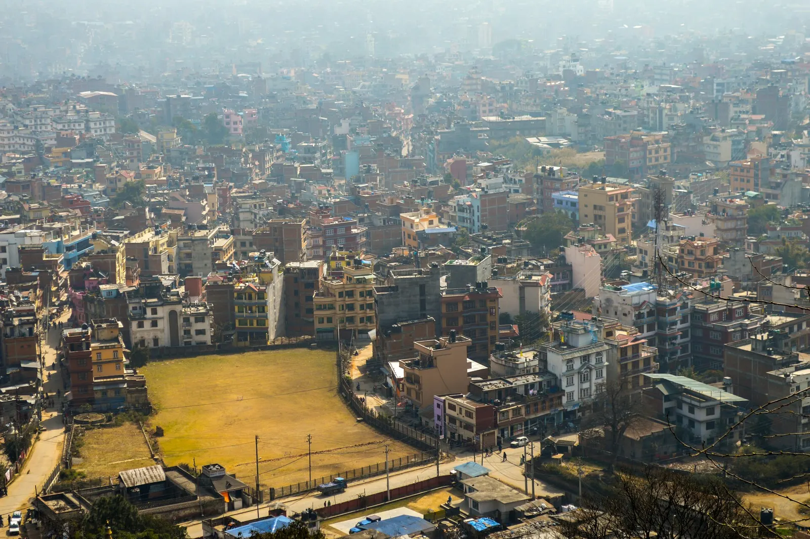
Kathmandu
1,400 m, best Feb-Apr, Oct-Dec
काठमाडौं उपत्यका
Nepal's capital valley holds the seven monument zones of one UNESCO World Heritage property, spread across Kathmandu, Patan and Bhaktapur. It is also the road head for the Langtang Valley, the closest major Himalayan trek to the capital.
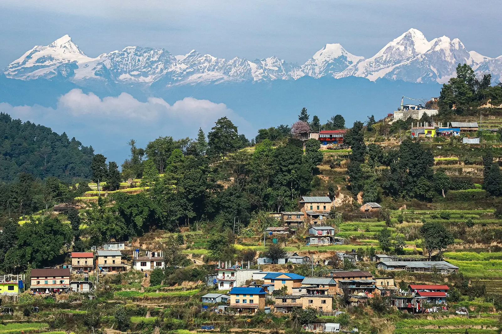
1,400 m, best Feb-Apr, Oct-Dec
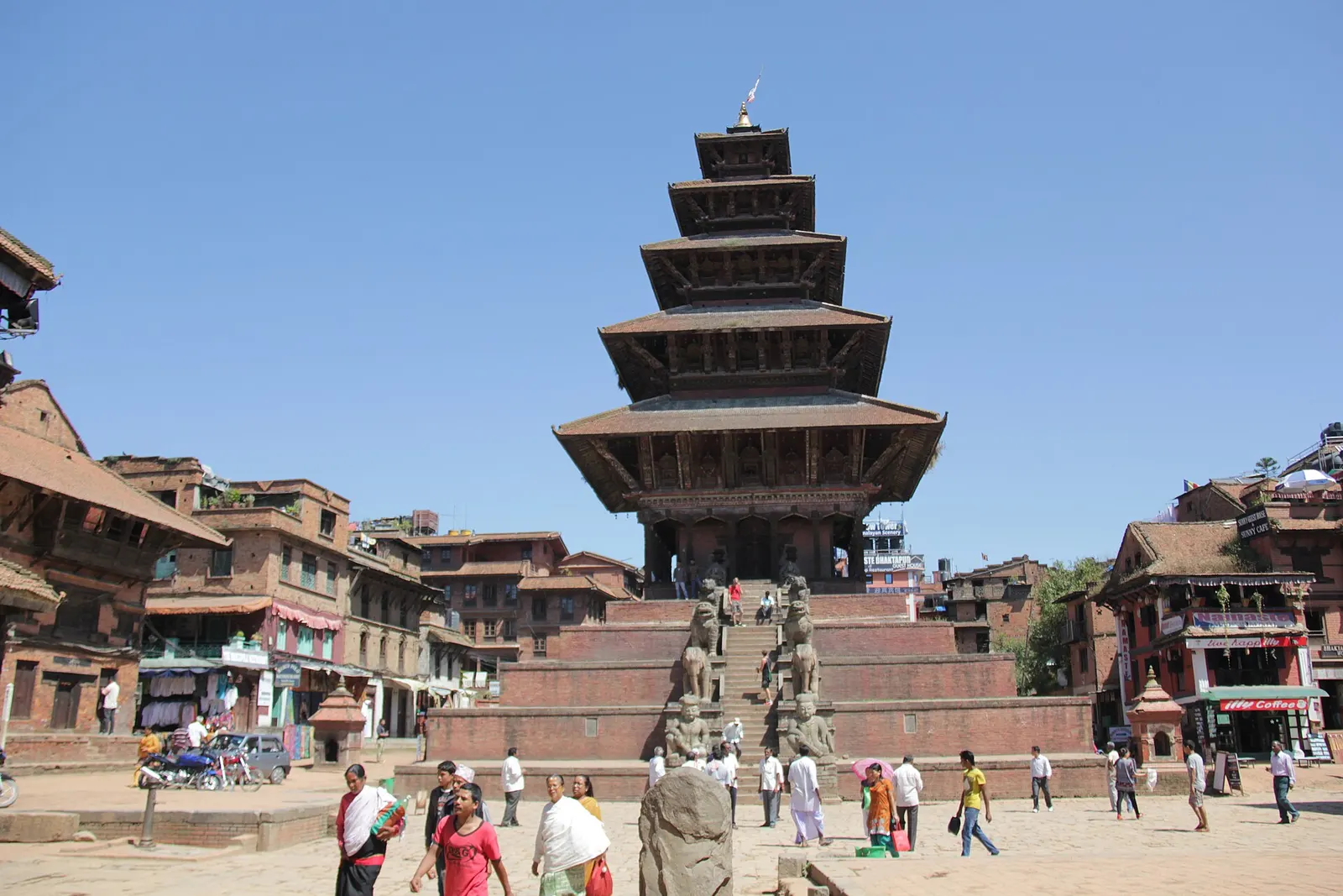
1,401 m, best Oct-May
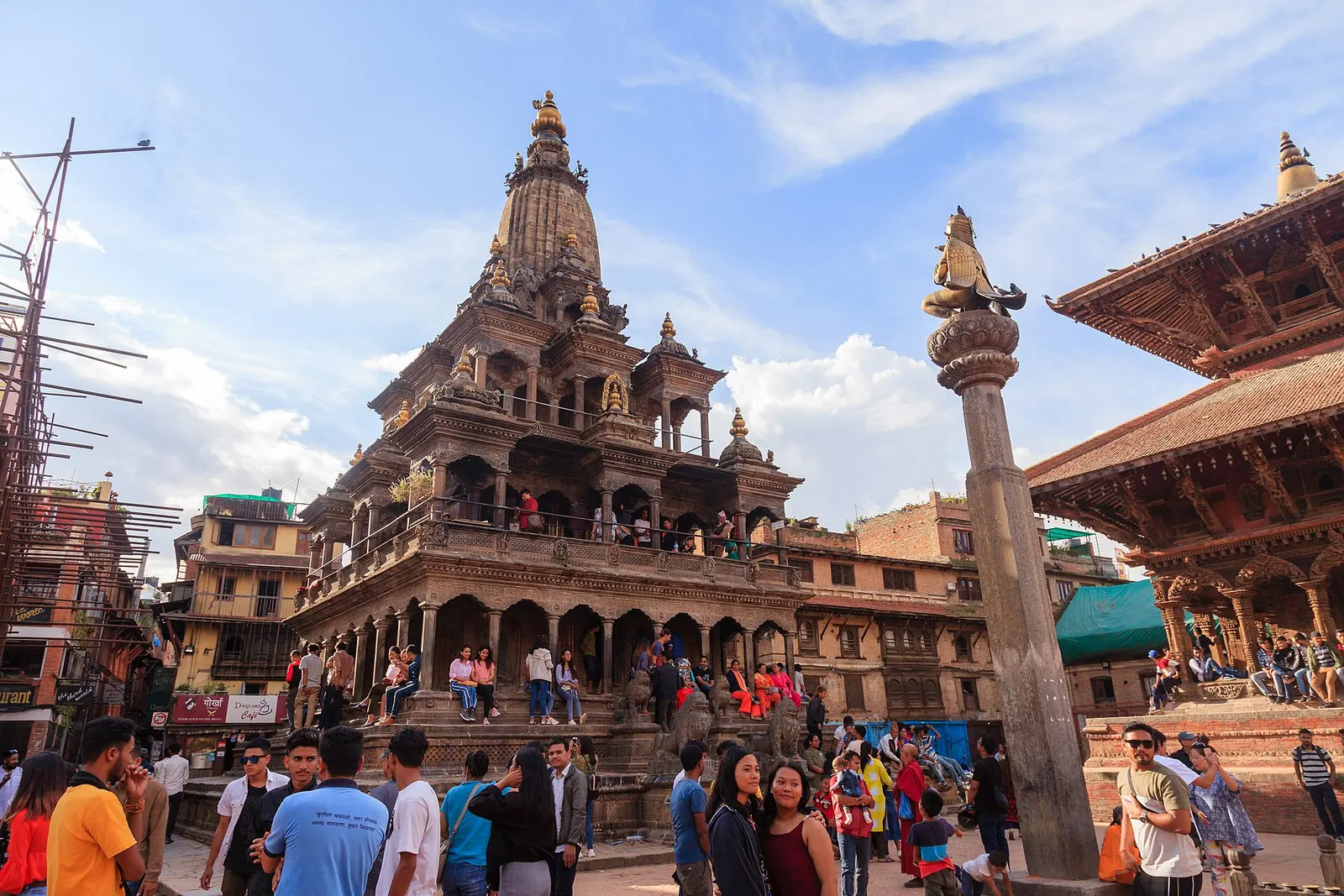
1,350 m, best Oct-May
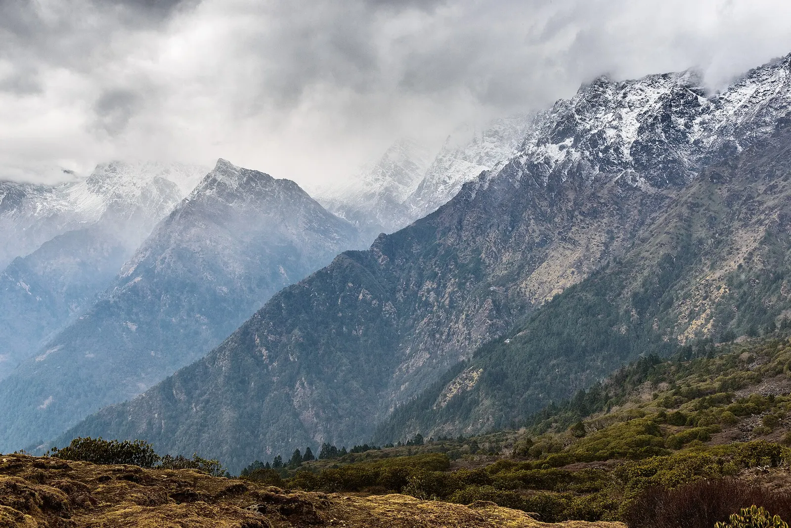
3,870 m, best Mar-May, Oct-Nov
1,540 m, best Oct-Apr
best Oct-Mar
best Feb-Apr, Oct-Dec
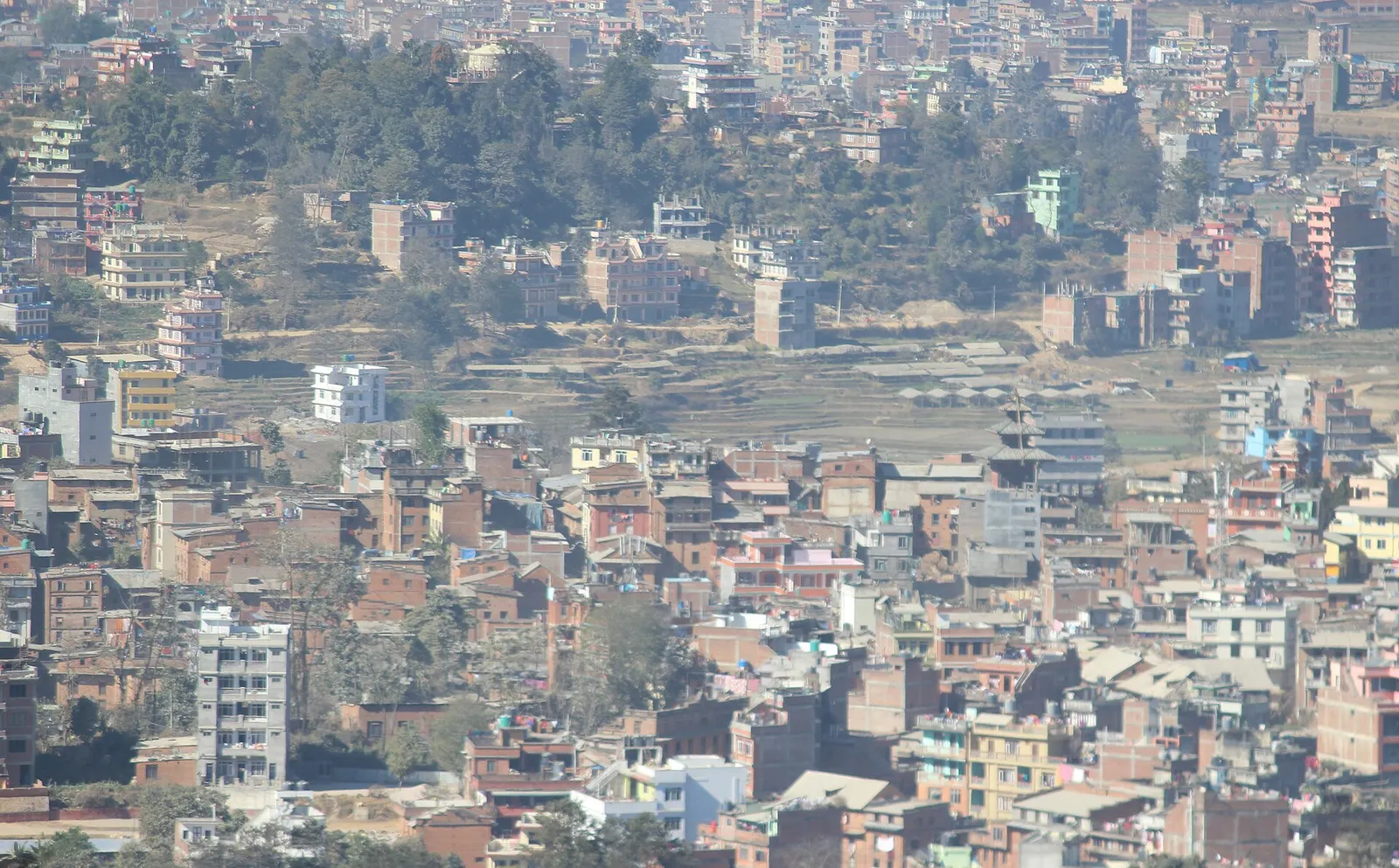
1,550 m, best Feb-Apr, Oct-Dec
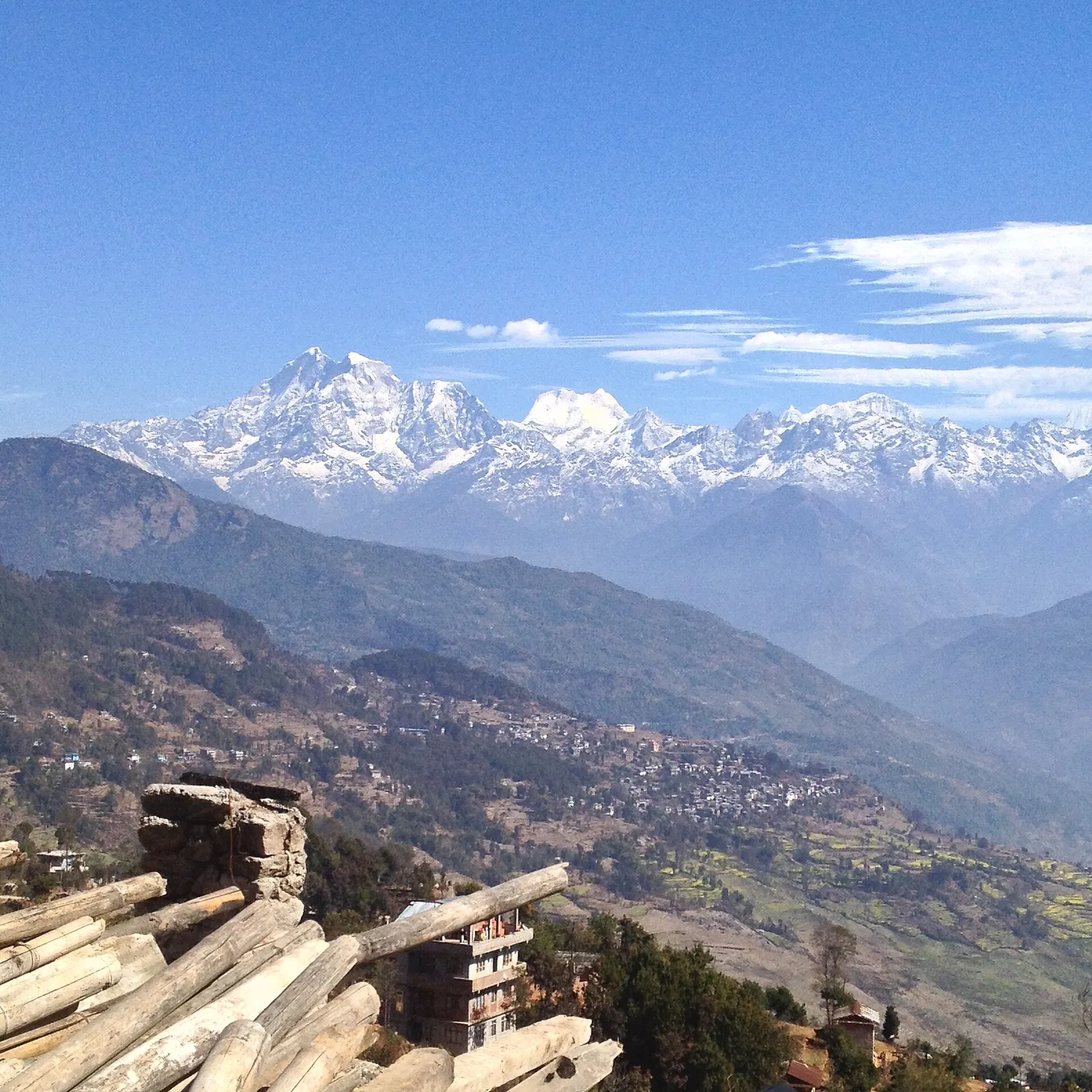
best Oct-Apr
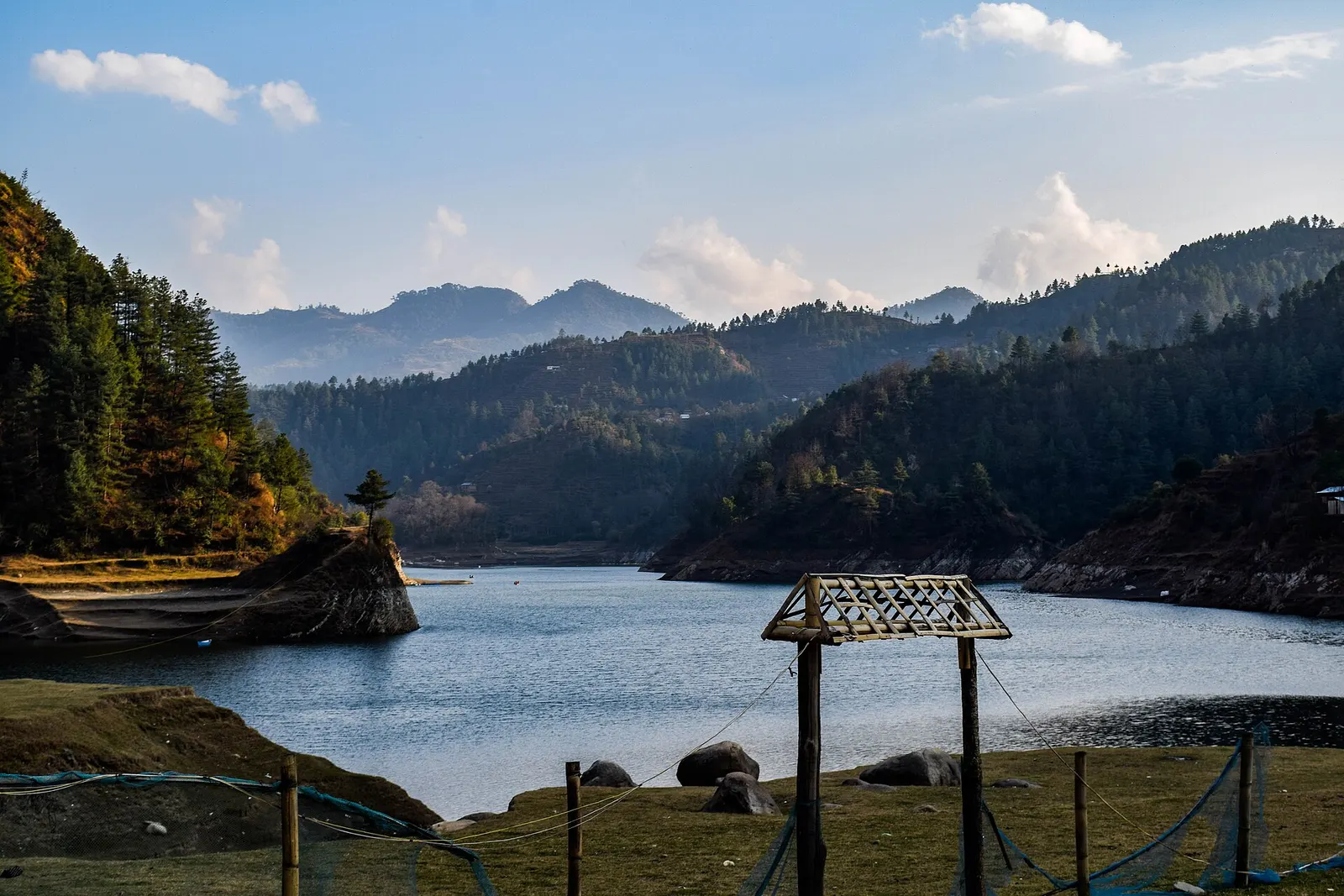
best Oct-Apr
best Oct-Apr
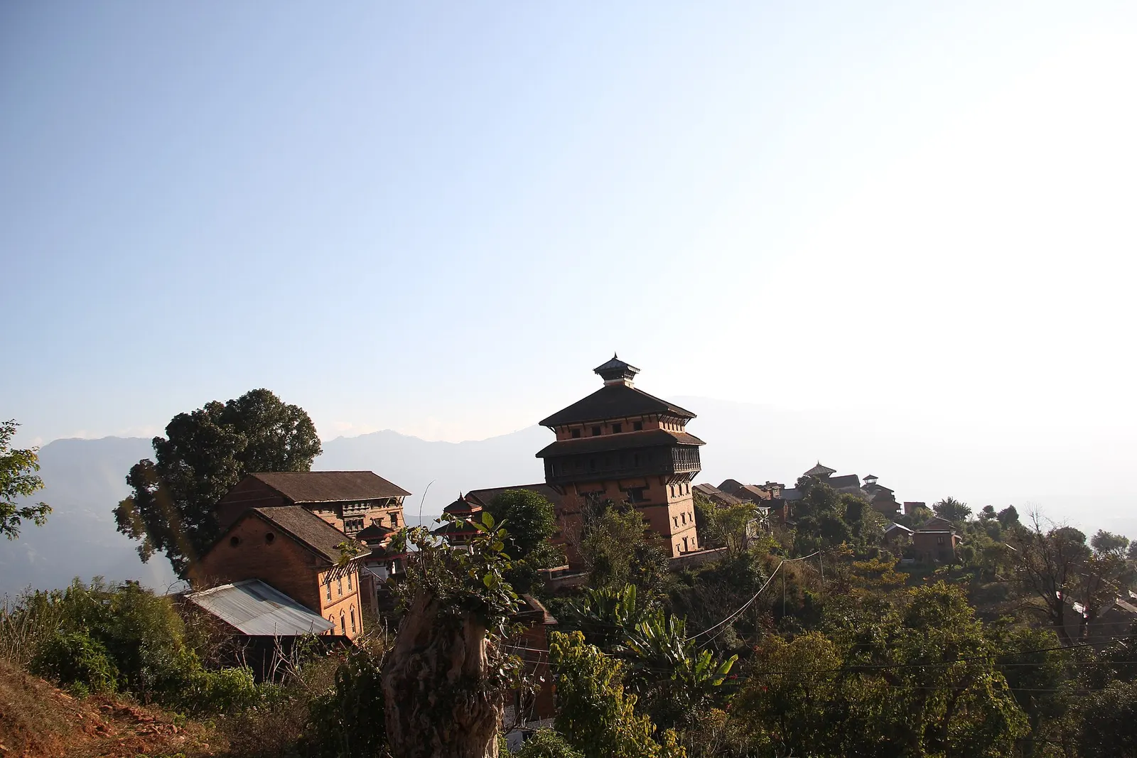
963 m, best Oct-Mar
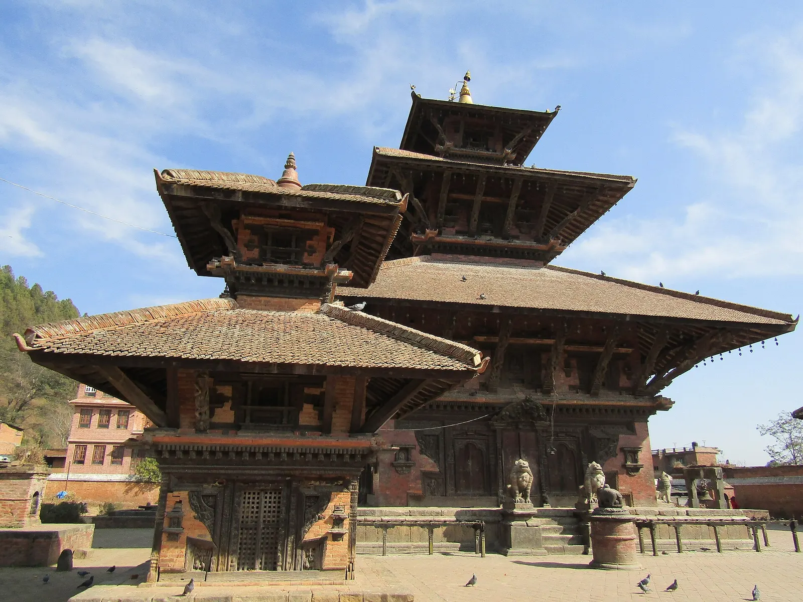
1,442 m, best Feb-Apr, Oct-Dec
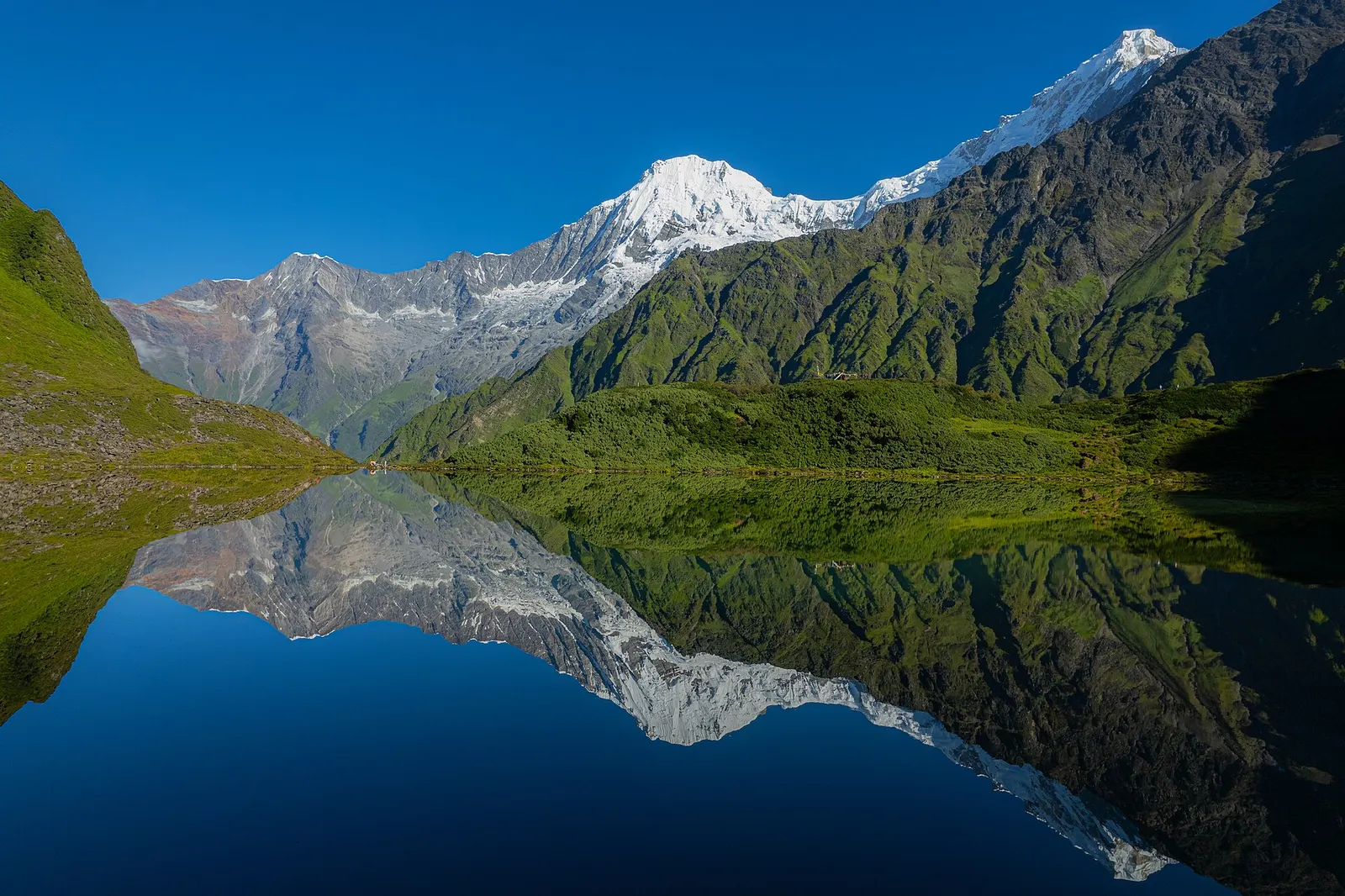
best Mar-May, Oct-Nov
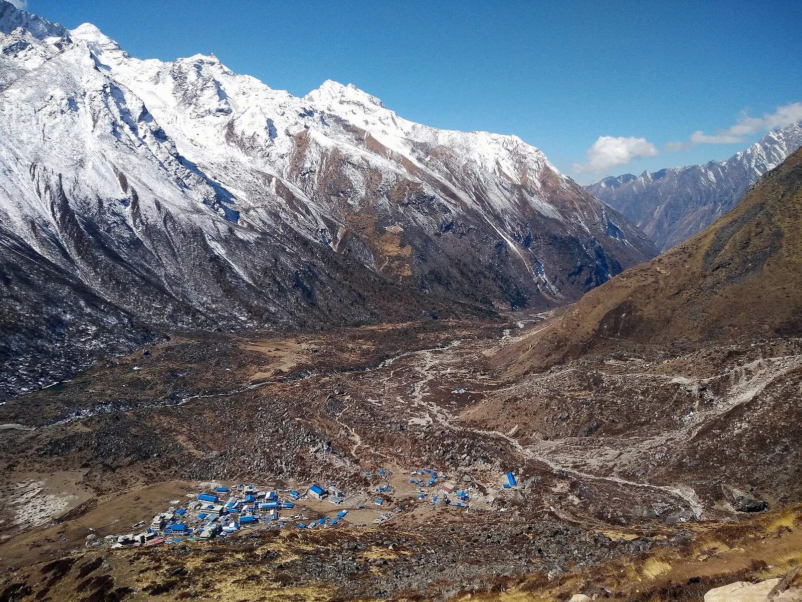
A road-accessed teahouse trek from Syabrubesi up the Langtang Khola to Kyanjin Gompa (about 3,870 m), with an optional climb to Tserko Ri for close views of Langtang Lirung. Check road access after the August 2026 floods.
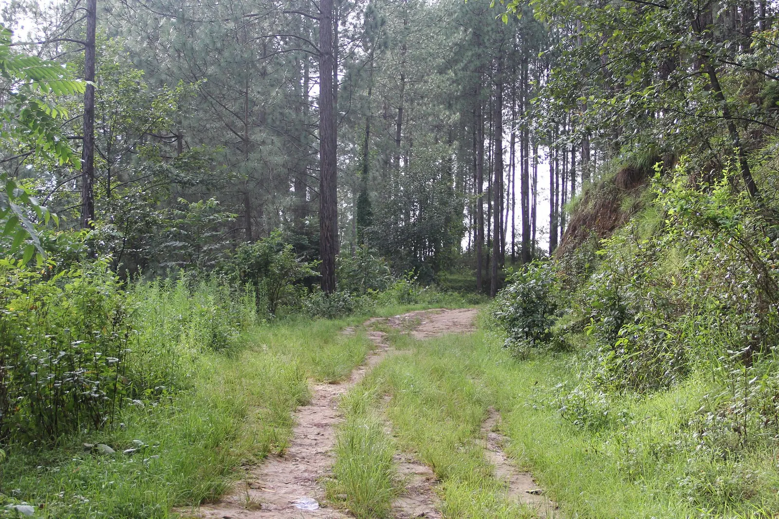
A short, low walk south-east of Kathmandu from Dhulikhel to the Buddhist pilgrimage site of Namo Buddha, on to the farming village of Balthali, and down to the old Newar town of Panauti. No permit needed.
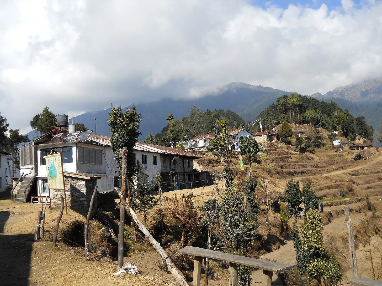
A short trek that starts on the edge of Kathmandu at Sundarijal and follows forested ridges to Tharepati (about 3,650 m), then visits the Hyolmo villages of Melamchi Gaon, Tarkeghyang and Sermathang before a drive back.
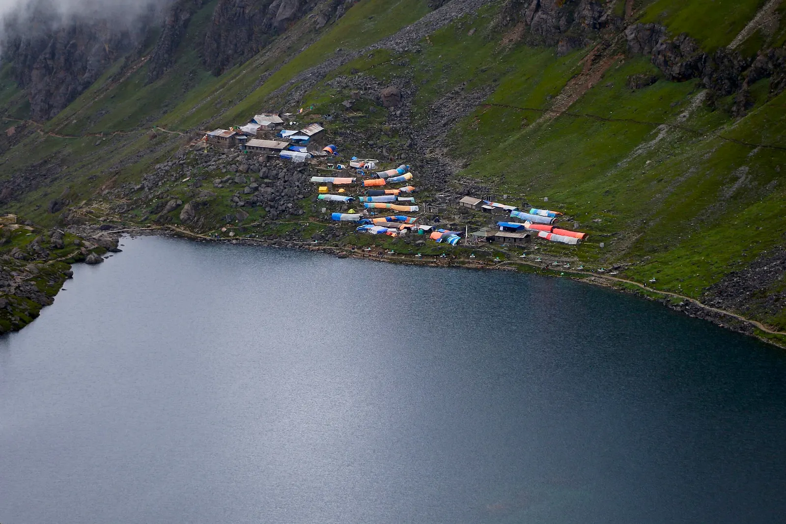
The Langtang Valley to Kyanjin Gompa combined with the climb to the sacred Gosaikunda lakes (about 4,380 m) via Thulo Syabru and Sing Gompa, finishing at Dhunche. Check road access after the August 2026 floods.