Valley or region
Everest Region (Khumbu)
The Sherpa homeland below Everest, reached on foot from Lukla through stone villages, monasteries and glacial valleys.
Koshi Provinceसोलुखुम्बु
Home of Everest and the Sherpa heartland of Khumbu, with the classic Everest Base Camp, Gokyo Lakes and Three Passes treks.
Solukhumbu is a mountain district in the north-west of Koshi Province, bordering Tibet (China) along the high Himalaya. It covers two areas: the lower, greener Solu hills in the south around Salleri, Phaplu and Junbesi, and the high Khumbu in the north, where the Everest Region (Khumbu) holds Everest and other great peaks. The Dudh Koshi drains the district south, past Lukla and Namche Bazaar.
Sherpa culture defines the district, with monasteries such as Tengboche, and Rai and other communities live in the Solu hills. Much of Khumbu lies within Sagarmatha National Park, a UNESCO World Heritage Site. Trekking drives the economy: walkers follow the trail from Lukla through Phakding and Namche Bazaar to Kala Patthar, the Gokyo Lakes, Cho La and Renjo La, or take the quieter Pikey Peak route in Solu.
Valley or region
The Sherpa homeland below Everest, reached on foot from Lukla through stone villages, monasteries and glacial valleys.
Lake · 4,750 m
A chain of glacier-fed lakes beside the Ngozumpa glacier, with views of Everest and Cho Oyu from the hill of Gokyo Ri.
Viewpoint · 5,644 m
A dark ridge-top viewpoint above Gorak Shep with a close view of Everest, Nuptse and the Khumbu Glacier.
Viewpoint · 4,065 m
A grassy 4,065 m summit in lower Solukhumbu with a long view of the eastern Himalaya, reached on a short trek through Sherpa villages.
Most trekkers fly to Lukla, a short mountain flight from Kathmandu or, in busy seasons, from Ramechhap (Manthali); flights depend heavily on the weather. Roads reach Salleri and Phaplu in Solu from the south via Okhaldhunga, a long day's drive or more, and tracks are pushing further north.
October to November and March to May are the main trekking seasons with the clearest weather; the monsoon brings cloud, rain and frequent Lukla flight delays, while winter is dry but very cold at altitude, with snow on the high passes.
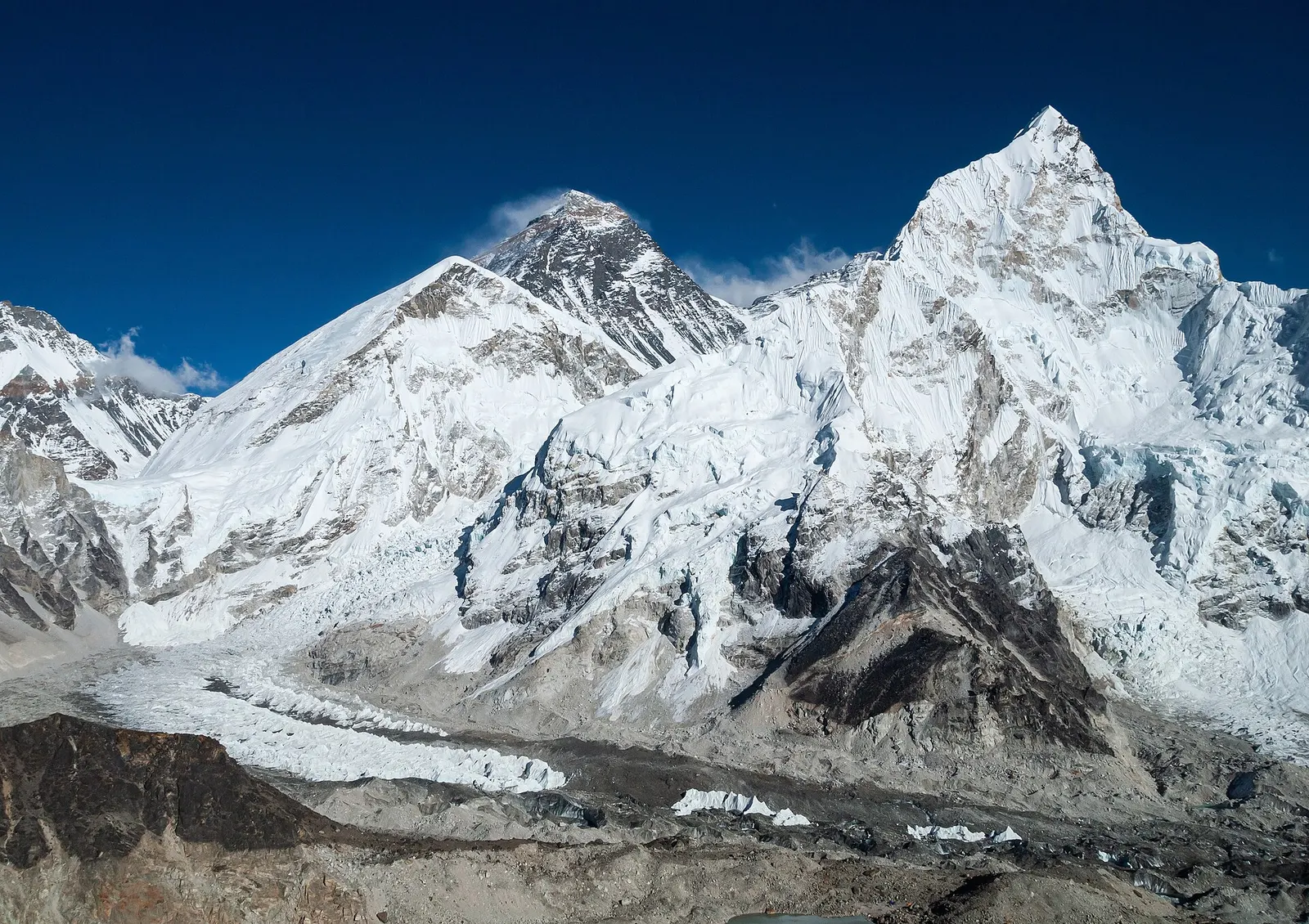
The classic teahouse trek from Lukla through Sherpa villages to Everest Base Camp (5,364 m) and the Kala Patthar viewpoint, with acclimatisation days in Namche and Dingboche.
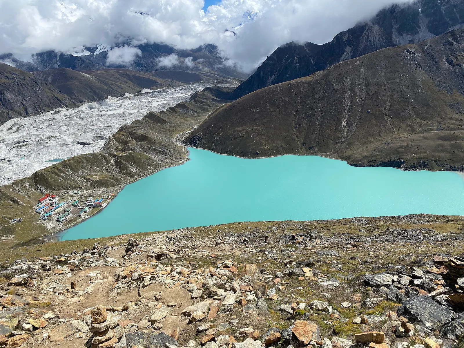
A teahouse trek from Lukla up the Dudh Kosi valley to the turquoise Gokyo Lakes beside the Ngozumpa Glacier, with a dawn climb of Gokyo Ri (about 5,357 m) for views of four 8,000 m peaks.
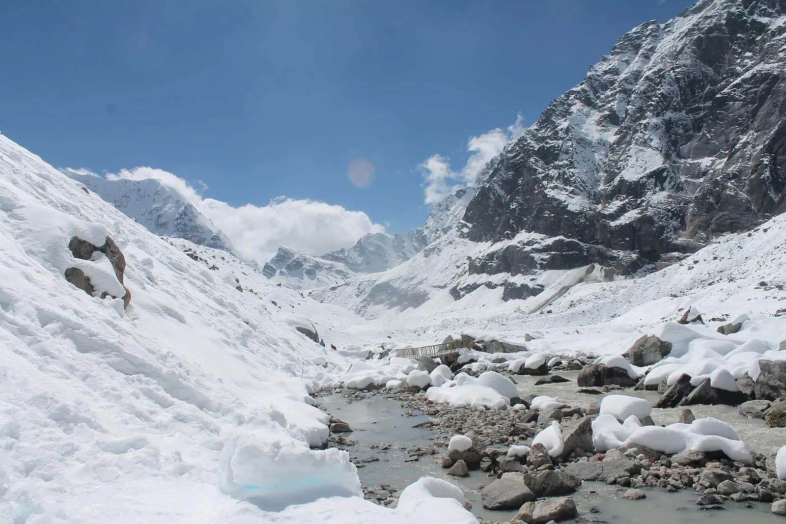
A network of high and mid-hill routes about 1,700 km long that crosses Nepal from Kanchenjunga in the east to Humla and the far west, usually walked in sections, or as a through-trek of about four to five months.
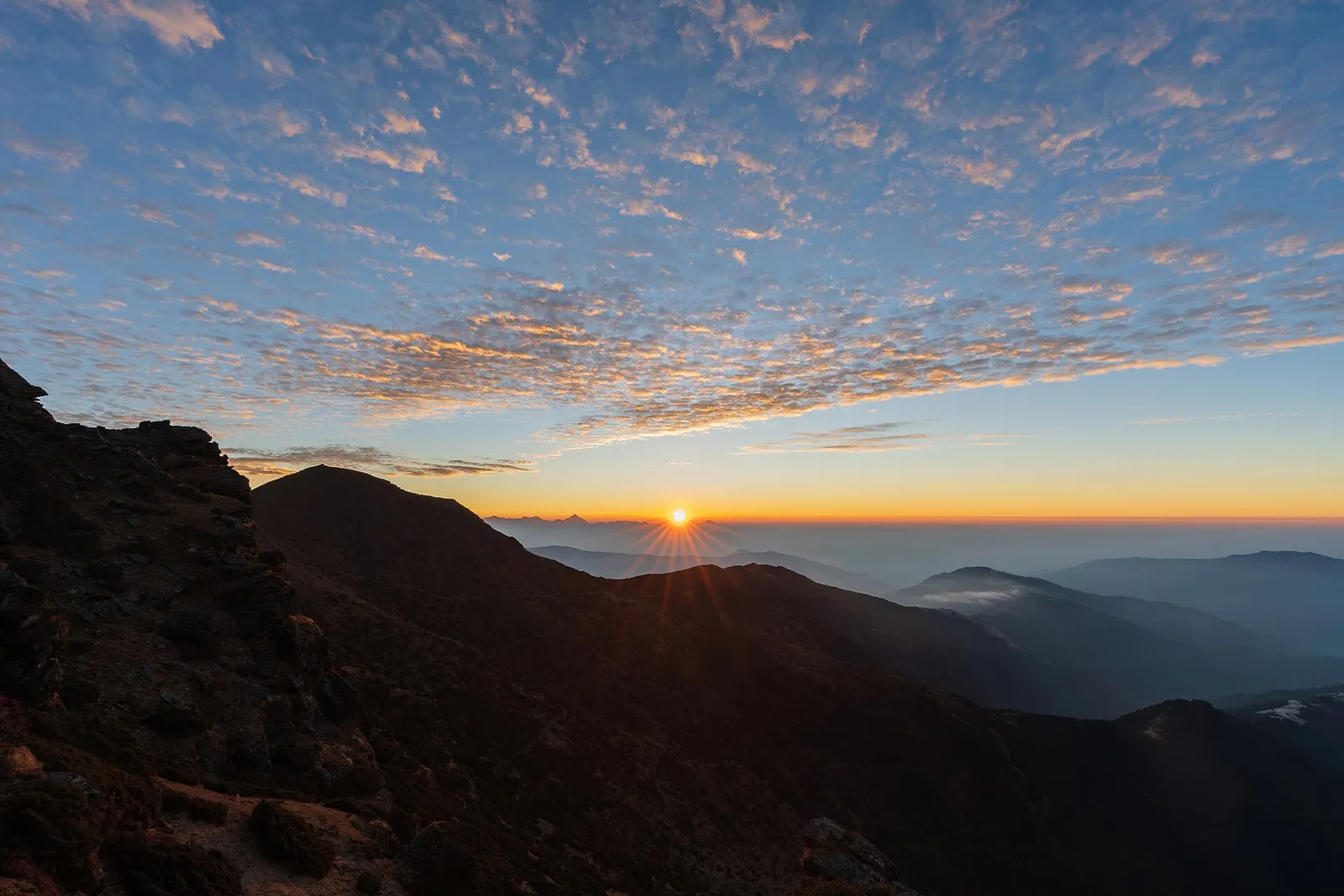
A short, lower trek in Solu, the southern part of Solukhumbu, to the grassy summit of Pikey Peak (about 4,065 m) for a long Himalayan panorama including Everest, then down to Junbesi and Phaplu.
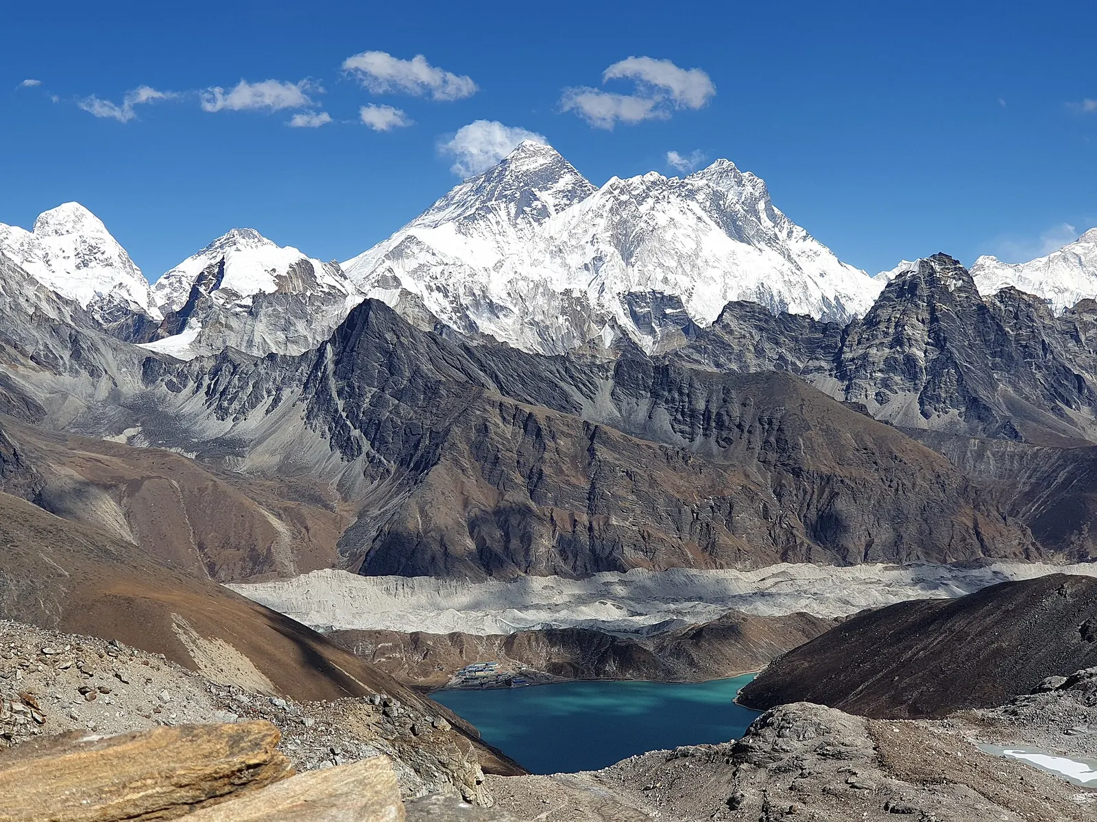
A long, demanding circuit of the Khumbu over the Kongma La, Cho La and Renjo La, all above 5,300 m, taking in Everest Base Camp, Kala Patthar, the Gokyo Lakes and the Thame valley.