
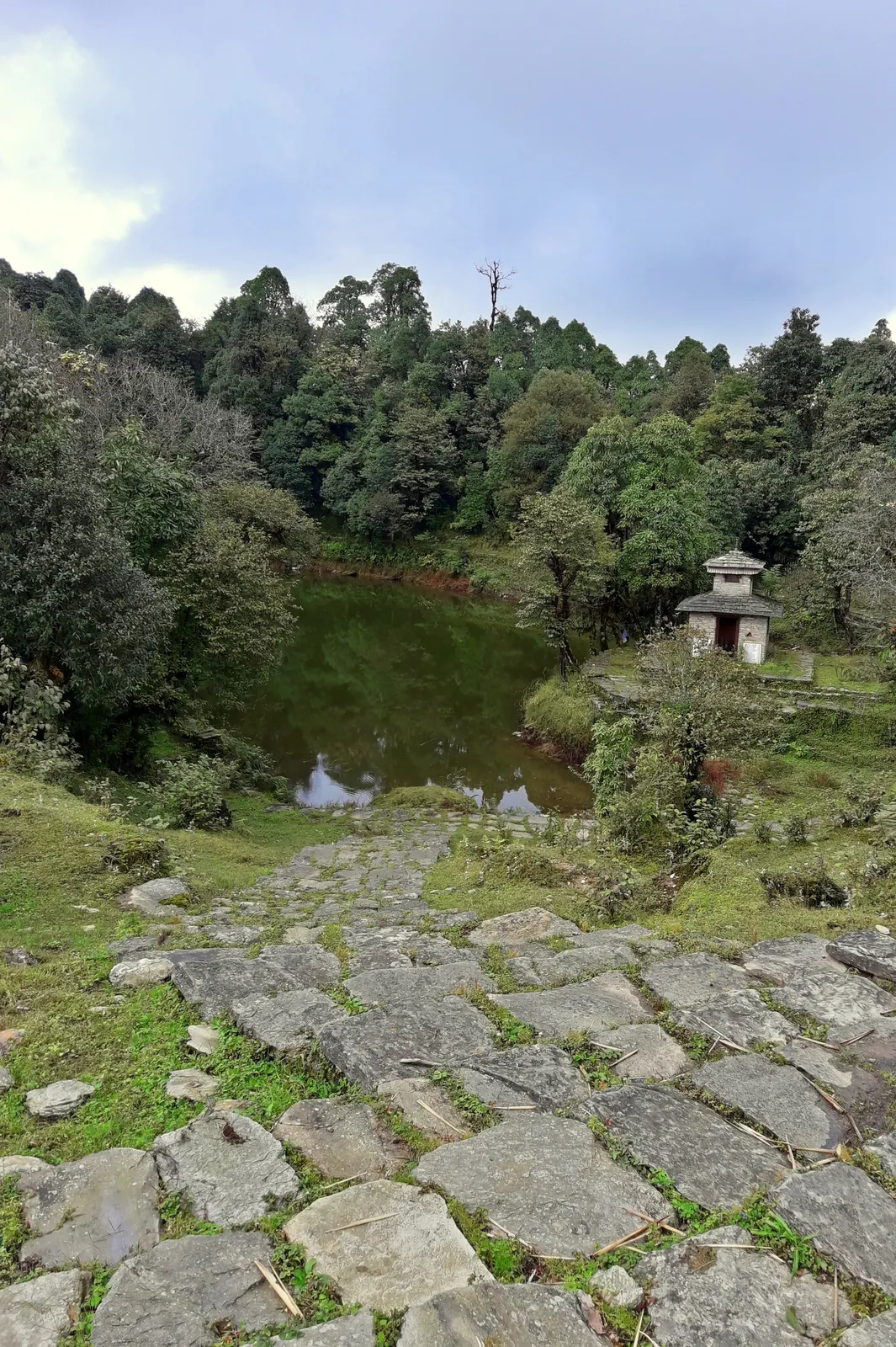
A two- to three-day walk from Pokhara to Panchase (about 2,517 m), a forested hill with a temple and pond west of Phewa Tal, with views of Dhaulagiri, the Annapurnas and Machhapuchhre.
- Days
- 3 days
- Maximum altitude
- 2,517 m
- Difficulty
- Easy
Pokhara & Annapurna, Pokhara
A low, short village walk in the hills east of Pokhara, via Kalikasthan, Syaklung and Chisapani to Begnas Lake, named after a 1980 trek by the then Prince Charles.
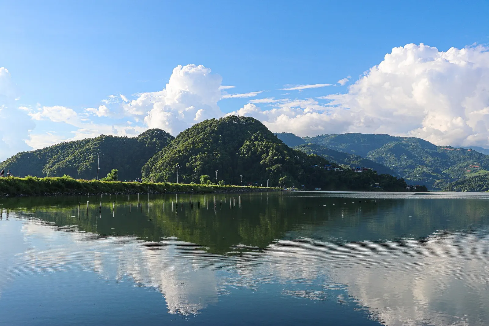
The Royal Trek is a short walk through farming villages in the hills north-east of the Pokhara valley. It is named after the then Prince Charles, who is said to have walked and camped along this route with a large party in 1980. The trail links Kalikasthan, Thulakot, Syaklung and Chisapani before dropping to Begnas Lake.
The route stays below about 1,750 m, so it has no altitude concerns, and it offers views of Annapurna II and IV, Machhapuchhre, Lamjung Himal and Manaslu from the ridges. Villages along the way are Gurung, Brahmin and Chhetri. Lodges are scarce, so most groups camp or use simple homestays arranged in advance.
Why it is rated easy
Sleeping altitude for each night. The dashed lines at 3,000 m and 4,000 m mark heights where altitude illness becomes more common. General information only, not medical advice.
Hover, tap or use the arrow keys to see each day. Shaded columns are acclimatisation days.
| Day | Overnight | Sleeping altitude | High point |
|---|---|---|---|
| 1 | Kalikasthan | 1,370 m | - |
| 2 | Syaklung | 1,730 m | - |
| 3 | Chisapani | 1,550 m | - |
| 4 | Pokhara | 822 m | - |
A short drive east to Bijayapur, then a climb through fields and forest to the village and Kali temple at Kalikasthan, with views across the Pokhara valley.
Camp or homestay at Kalikasthan
Along the ridge via Thulakot and Majhthana, then up to the Gurung village of Syaklung, the high point of the trek.
Camp or homestay at Syaklung
Down and along ridges through villages and forest to Chisapani, with views of Annapurna and Manaslu on clear days.
Camp or homestay at Chisapani
Descend through farmland to Begnas Lake (about 650 m), then about 30-45 minutes by road to Pokhara.
Hotel in Pokhara
Stages, times and altitudes vary by operator, weather and pace. Partner agencies confirm the exact plan.
Trail geometry from OpenStreetMap.
No national park or conservation-area permit reported for the core routeOther
The route lies in the hills east of Pokhara and is generally described as outside the Annapurna Conservation Area, but some agencies still list ACAP or TIMS. Confirm with the NTNC/ACAP office in Pokhara or a licensed agency.
Verify before travel: permit rules and fees change. Checked 2026-10-06 against Royal Trek route notes, Yeti Trail Adventure. Guide rule: Nepal bans solo trekking for tourists, guides mandatory from April 1 (The National, March 2023).
Nepal trekking permits explainedBest months: Oct-Apr
Forecasts for start (Kalikasthan, 1,370 m), highest overnight (Syaklung, 1,730 m), end (Pokhara, 822 m). Mountain weather changes fast; check again on the day.
Forecast for 1,370 m. Conditions change fast in the mountains.
Weather data: MET Norway, licensed CC BY 4.0. A forecast, not a guarantee.
Forecast for 1,730 m. Conditions change fast in the mountains.
Weather data: MET Norway, licensed CC BY 4.0. A forecast, not a guarantee.
Forecast for 822 m. Conditions change fast in the mountains.
Weather data: MET Norway, licensed CC BY 4.0. A forecast, not a guarantee.
Spend an extra night by the lake and take a boat out.
The smaller lake beside Begnas, on the other side of the Panchabhaiya ridge.
It is named after the then Prince Charles, who is said to have trekked and camped along this route in 1980.
Usually 3-5 days from Pokhara; four days is the common plan.
About 1,700 m at Syaklung, though sources disagree; there is no altitude risk.
The route is generally described as outside the Annapurna Conservation Area, but some agencies list ACAP or TIMS. Check before you go.
A two- to three-day walk from Pokhara to Panchase (about 2,517 m), a forested hill with a temple and pond west of Phewa Tal, with views of Dhaulagiri, the Annapurnas and Machhapuchhre.
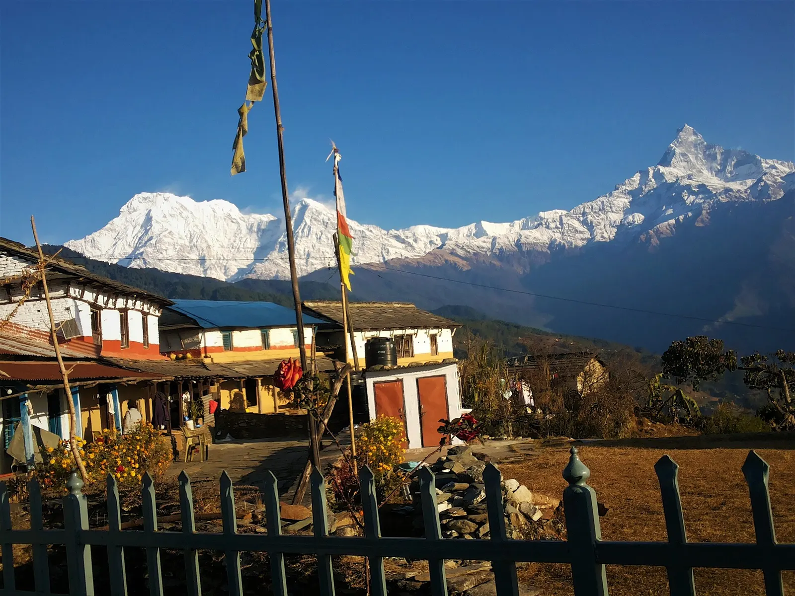
A one- or two-day walk from Kande near Pokhara to Australian Camp, a grassy viewpoint at about 2,060 m facing the Annapurnas and Machhapuchhre, returning via Dhampus and Phedi.
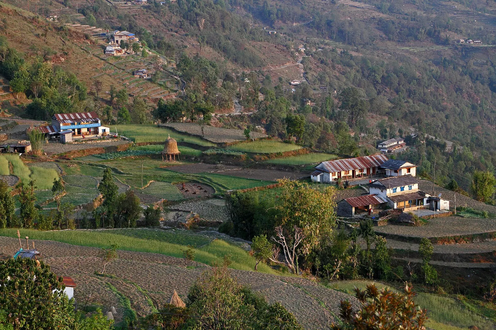
A short overnight walk from Phedi near Pokhara to the Gurung village of Dhampus (about 1,650 m), with homestays and sunrise views of Machhapuchhre and the Annapurnas.
Royal Trek · 4 days