
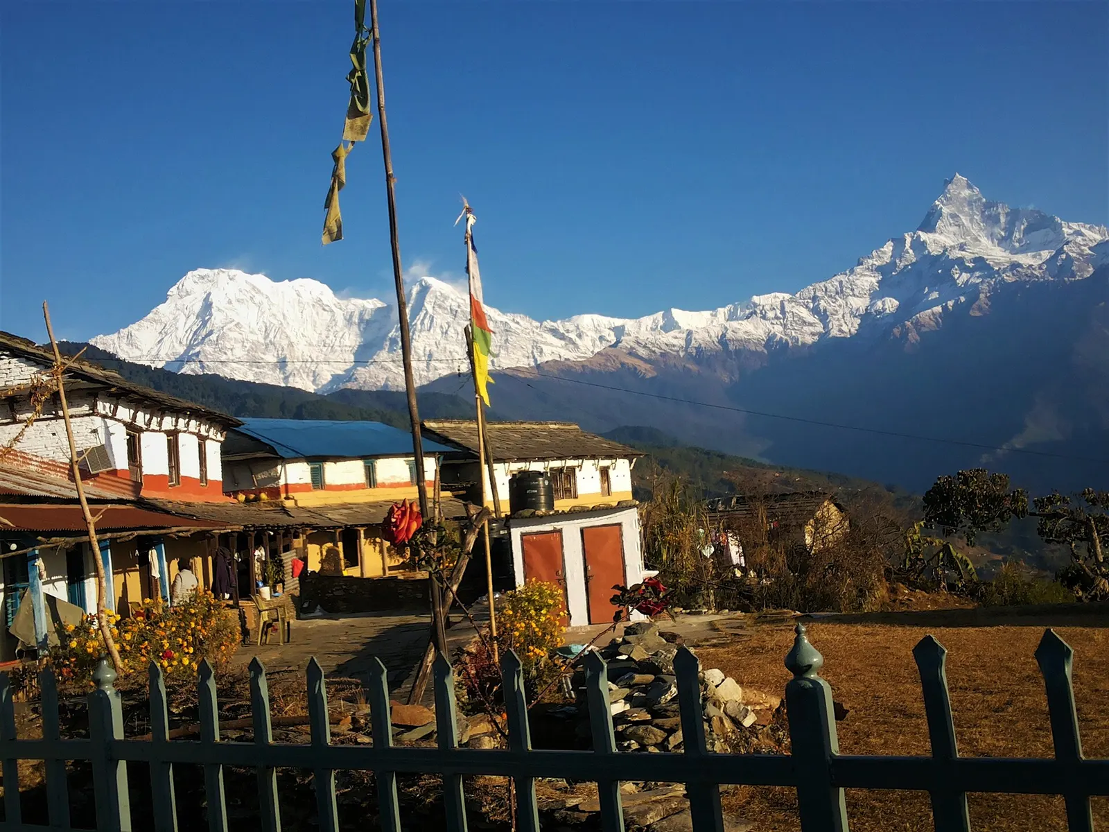
A one- or two-day walk from Kande near Pokhara to Australian Camp, a grassy viewpoint at about 2,060 m facing the Annapurnas and Machhapuchhre, returning via Dhampus and Phedi.
- Days
- 2 days
- Maximum altitude
- 2,060 m
- Difficulty
- Easy
Pokhara & Annapurna, Pokhara
A two- to three-day walk from Pokhara to Panchase (about 2,517 m), a forested hill with a temple and pond west of Phewa Tal, with views of Dhaulagiri, the Annapurnas and Machhapuchhre.
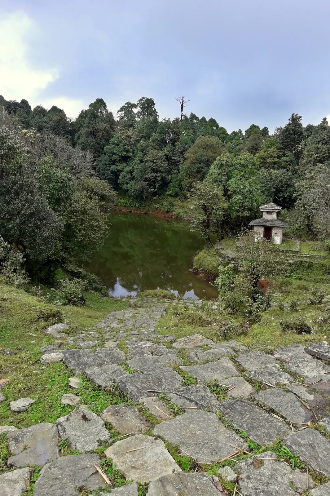
Panchase is a forested hill on the meeting point of Kaski, Parbat and Syangja districts, west of Phewa Tal. The Panchase trek climbs from road heads near Pokhara to the saddle village of Panchase Bhanjyang (about 2,050-2,070 m), with a pre-dawn walk of about an hour to the summit at about 2,517 m for sunrise over Dhaulagiri, the Annapurnas, Machhapuchhre and Manaslu.
The route stays outside the Annapurna Conservation Area, in the Panchase Protected Forest, known for its orchids and spring-fed streams. It passes Gurung and Brahmin-Chhetri villages and can finish on foot at Bhumdi and the shore of Phewa Tal, crossing the lake by boat to Lakeside.
Why it is rated easy
Sleeping altitude for each night. The dashed lines at 3,000 m and 4,000 m mark heights where altitude illness becomes more common. General information only, not medical advice.
Hover, tap or use the arrow keys to see each day. Shaded columns are acclimatisation days.
| Day | Overnight | Sleeping altitude | High point |
|---|---|---|---|
| 1 | Panchase Bhanjyang | 2,070 m | - |
| 2 | Bhumdi | 1,300 m | 2,517 m |
| 3 | Pokhara | 822 m | - |
About 1-1.5 hours by road to Bhadaure (about 1,650 m), then a walk of about 6 km through villages and forest to the lodges at Panchase Bhanjyang. Sunset from the viewpoint near the saddle.
Teahouse or homestay at Panchase BhanjyangAbout Panchase Bhanjyang
Climb about an hour to the summit, the temple and the Panchase pond for sunrise, return for breakfast, then descend through forest and villages to Bhumdi above Phewa Tal.
Guesthouse or homestay in Bhumdihigh point Panchase summit, 2,517 m
Walk down to the southern shore of Phewa Tal and cross by boat to Lakeside, or take a road back to Pokhara. Bhumdi is close to the World Peace Pagoda ridge.
Hotel in Pokhara
Stages, times and altitudes vary by operator, weather and pace. Partner agencies confirm the exact plan.
Trail geometry from OpenStreetMap.
No conservation-area permit reported for the standard routeOther
Panchase is outside the Annapurna Conservation Area and in the Panchase Protected Forest; no trekking permit is reported for Bhadaure, Panchase and Bhumdi. An ACAP permit is needed if you extend the walk to Australian Camp or Mardi Himal.
Verify before travel: permit rules and fees change. Checked 2026-10-06 against Panchase trek, Nepal: itinerary and route, Travelling Mandala. Guide rule: Nepal bans solo trekking for tourists, guides mandatory from April 1 (The National, March 2023).
Nepal trekking permits explainedBest months: Feb-Apr, Oct-Dec
Forecasts for start (Panchase Bhanjyang, 2,070 m), end (Pokhara, 822 m). Mountain weather changes fast; check again on the day.
Forecast for 2,070 m. Conditions change fast in the mountains.
Weather data: MET Norway, licensed CC BY 4.0. A forecast, not a guarantee.
Forecast for 822 m. Conditions change fast in the mountains.
Weather data: MET Norway, licensed CC BY 4.0. A forecast, not a guarantee.
World Peace Pagoda
On the ridge above Phewa Tal near Bhumdi; an easy detour on the last day.
Extend north-east along the ridge for a 4-day walk; ACAP permit needed.
Finish by boat across the lake to Lakeside.
Two to three days from Pokhara, or four if you continue to Australian Camp and Dhampus.
The summit is about 2,517 m; Panchase Bhanjyang, where most people sleep, is about 2,050-2,070 m.
No trekking permit is reported for the standard route, which is outside the Annapurna Conservation Area.
Usually at Bhadaure, Ghatichhina or Bhumdi, all reached by road from Pokhara.
A one- or two-day walk from Kande near Pokhara to Australian Camp, a grassy viewpoint at about 2,060 m facing the Annapurnas and Machhapuchhre, returning via Dhampus and Phedi.
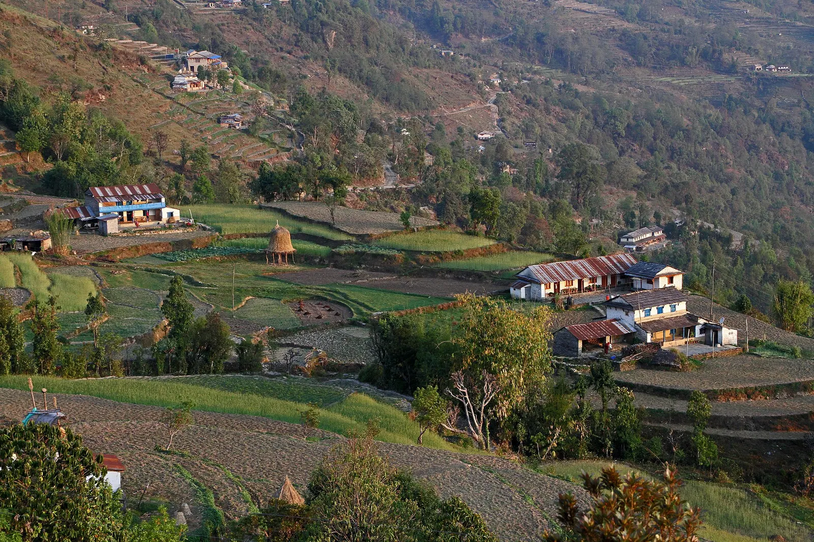
A short overnight walk from Phedi near Pokhara to the Gurung village of Dhampus (about 1,650 m), with homestays and sunrise views of Machhapuchhre and the Annapurnas.
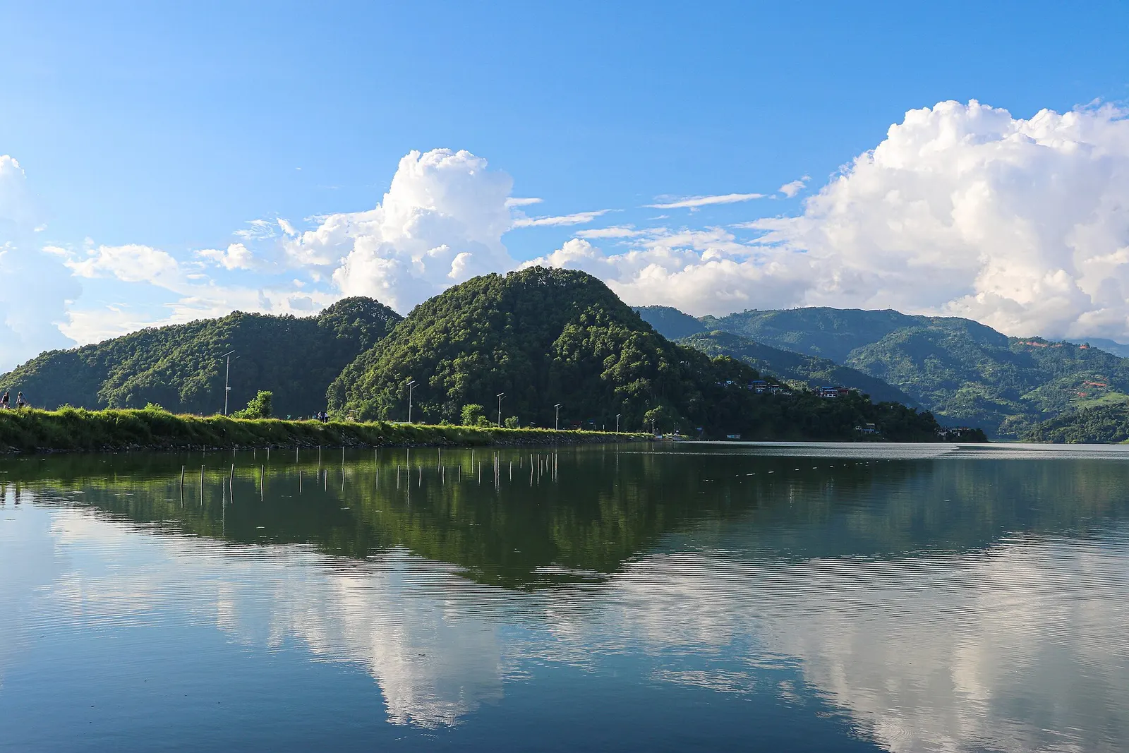
A low, short village walk in the hills east of Pokhara, via Kalikasthan, Syaklung and Chisapani to Begnas Lake, named after a 1980 trek by the then Prince Charles.
Panchase · 3 days