Skip to content

Annapurna Regionघान्द्रुक

Ghandruk

A large Gurung village of stone houses and terraces facing Annapurna South and Machhapuchhre, on the trails to Annapurna Base Camp and Poon Hill.

Plan a trip here
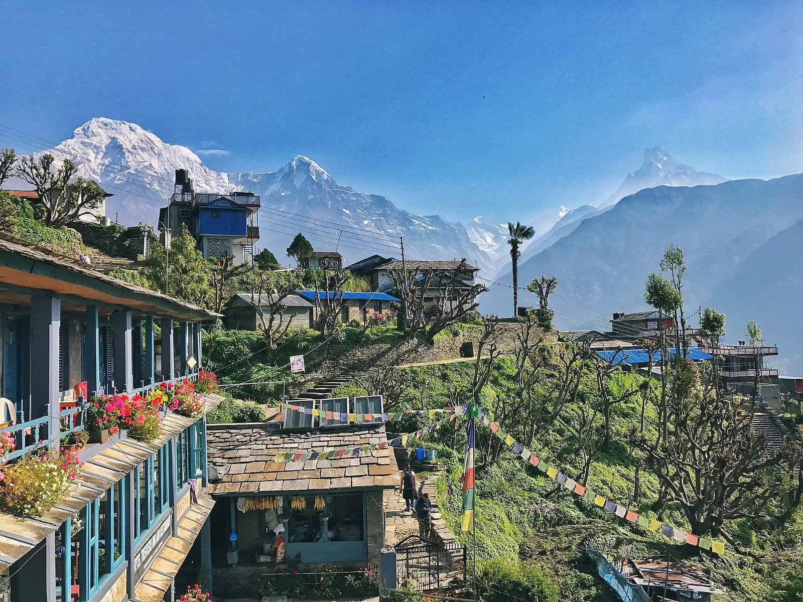
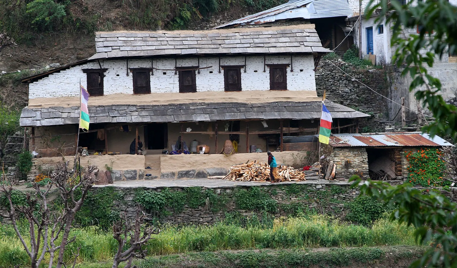
Slate-roofed lodges with flower-lined terraces in Ghandruk, with Annapurna South rising behind.
Photo: Kushaltmg (CC BY-SA 4.0)
Altitude
2,012 m*
Best months
Mar-Apr, Oct-Nov
Type
Town or village
District
Kaski, Gandaki
Permit
Permit required

Why go

Ghandruk is one of the main villages of the Annapurna region and a stop on several of its best-known treks. It sits on a broad slope above the Modi Khola at about 2,000 m, around 30-35 km north-west of Pokhara in Annapurna Rural Municipality. From the village, Annapurna South, Hiunchuli and the fishtail peak of Machhapuchhre fill the skyline to the north, and Gangapurna appears behind them on clear days.

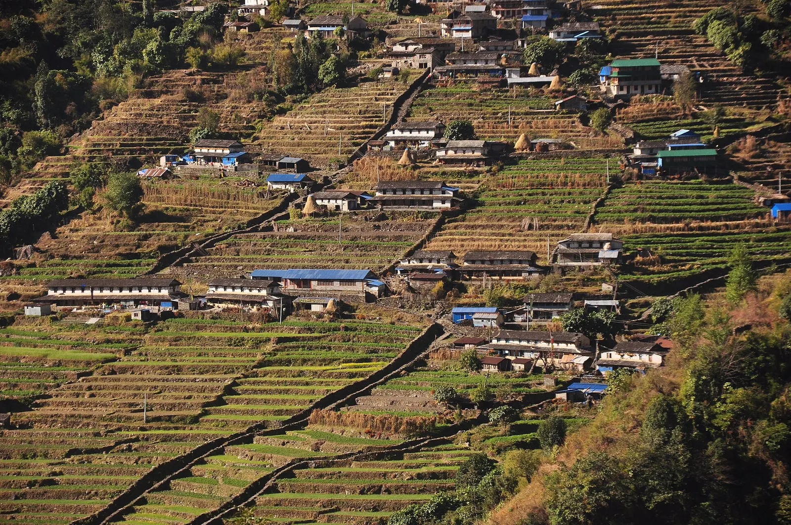
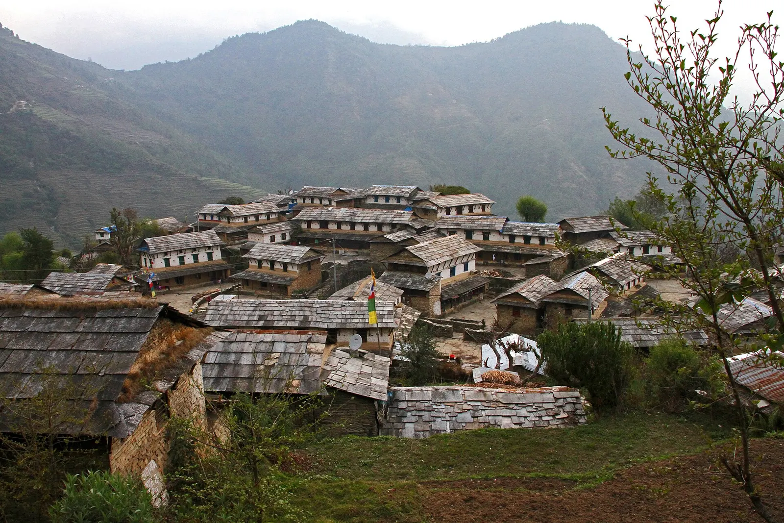
The village is a tight cluster of slate-roofed stone houses joined by flagstone lanes and steps, with terraced fields falling away below. Trekkers pass through on the Ghorepani-Poon Hill loop, which links Ghandruk with Ghorepani via Tadapani, and on the approach to Annapurna Base Camp, which continues from here towards Chhomrong. A jeep road now reaches the village from the Nayapul side, so Ghandruk also works as a short trip of two or three days from Pokhara for people who do not want a long trek.

With a population of more than 5,000 across its scattered settlements, Ghandruk is much larger than most trail villages, and it has a wide choice of lodges, a small museum and a strong sense of local identity.

History and culture

Ghandruk is a Gurung village, and many households have a history of service in the British and Indian Gurkha regiments. The Gurung Cultural Museum displays household tools, clothing and ritual objects, and village events feature Gurung songs and dances. Religious life blends Buddhist, Hindu and older shamanic traditions; the Meshram Baraha temple is the village's principal shrine.

Ghandruk played an important part in the history of conservation in Nepal. When the Annapurna Conservation Area Project was launched in 1986, the Ghandruk area was its first pilot site, testing an approach in which local committees manage forests, tourism and fees. Before 2015 Ghandruk was its own village development committee; it is now part of Annapurna Rural Municipality.

Things to do in Ghandruk

  • Morning mountain views

    Watch sunrise over Annapurna South and Machhapuchhre from the upper village or lodge terraces.

  • Gurung Cultural Museum

    Small village museum showing traditional dress, tools and household items; a modest entry charge may apply.

  • Walk to Landruk or Kimrong

    Descend to the Modi Khola and climb to Landruk opposite, or head towards Kimrong and Chhomrong on the Base Camp route.

  • Poon Hill loop

    Walk Ghandruk to Tadapani and Ghorepani, or the reverse, as part of a 4-5 day circuit from Pokhara.

Weather and the best time to visit Ghandruk

Weather in Ghandruk

Forecast for 2,012 m. Conditions change fast in the mountains.

Weather data: MET Norway, licensed CC BY 4.0. A forecast, not a guarantee.

Best time to visit

Mar-Apr, Oct-Nov

  1. Jan
  2. Feb
  3. Good month: Mar
  4. Good month: Apr
  5. May
  6. Jun
  7. Jul
  8. Aug
  9. Sep
  10. Good month: Oct
  11. Good month: Nov
  12. Dec
Autumn (Sep-Nov)
October and November give the clearest mountain views and stable weather; this is the busiest season.
Winter (Dec-Feb)
December to February is clear but cold, with frost and occasional snow in the village and on the trail to Tadapani.
Spring (Mar-May)
March to May brings rhododendron forest in bloom on the trails around Ghandruk, with haze building in the afternoons.
Monsoon (Jun-Aug)
June to August is rainy, with cloud hiding the peaks, leeches on forest trails and landslide risk on the jeep road.

Where to stay

LodgesTeahousesHomestaysGuesthouses

Ghandruk has many trekking lodges and some community homestays, ranging from basic rooms to more comfortable lodges with private bathrooms.

No partner stays are listed here yet. List a property.

Getting there

Drive from Pokhara towards Nayapul on the Pokhara-Baglung road, then continue by jeep up to Ghandruk, or walk up from Nayapul or Kimche.

Nearest hub: Pokhara

  • roadPokhara to Nayapul about 40-45 km, 1.5-2 hours by bus or taxi.
  • jeepNayapul to Ghandruk or nearby Kimche by shared or private jeep, roughly 2-3 hours on a rough mountain road; the road can be closed by monsoon landslides.
  • trekWalk from Nayapul via Birethanti and Kimche in about 5-7 hours, or arrive on the trail from Tadapani (Poon Hill loop) or Landruk.
Mount Everest 8,848.86Kangchenjunga 8,586Dhaulagiri I 8,167Manaslu 8,163Annapurna I 8,091GhandrukKathmandu
Boundary: Government of Nepal, Survey Department (2020). Peak data: Wikidata.

Permits and fees

Permit required

Ghandruk is inside the Annapurna Conservation Area, so an Annapurna Conservation Area entry permit is required and is checked at Birethanti and other checkpoints.

  • Annapurna Conservation Area Permit (ACAP): Obtain in Pokhara or Kathmandu before the trek.
  • TIMS card: Check whether a TIMS card is currently required.
  • Guide rule: Since April 2023 foreign trekkers in national parks and conservation areas are generally required to go with a licensed guide; check the current rule.

Verify before travel: permit rules and fees change. Checked 2026-10-06 against Annapurna Conservation Area Project, NTNC.

On the trail

On the Ghorepani-Poon Hill trek, Annapurna Base Camp trek, Mardi Himal and Ghandruk combinations.

Previous stop:
Tadapani (from Ghorepani) or Nayapul/Kimche (from the road)
Next stop:
Kimrong or Chhomrong (towards Annapurna Base Camp), or Nayapul (exit)
A typical day:
From Tadapani, about 3-4 hours, mostly descending around 600 m through rhododendron forest; from Nayapul, 5-7 hours and roughly 1,000 m of climbing on stone steps.

Practical tips

  • Mobile signal and lodge Wi-Fi are generally available in the village.
  • Bring enough cash from Pokhara; do not rely on finding a working ATM on the trail.
  • Charging is usually available in lodges, sometimes for a small fee.
  • Ask before photographing people or entering homes, and dress modestly in the village.
  • Walk on the uphill side of the trail when mules pass.

Treks through Ghandruk

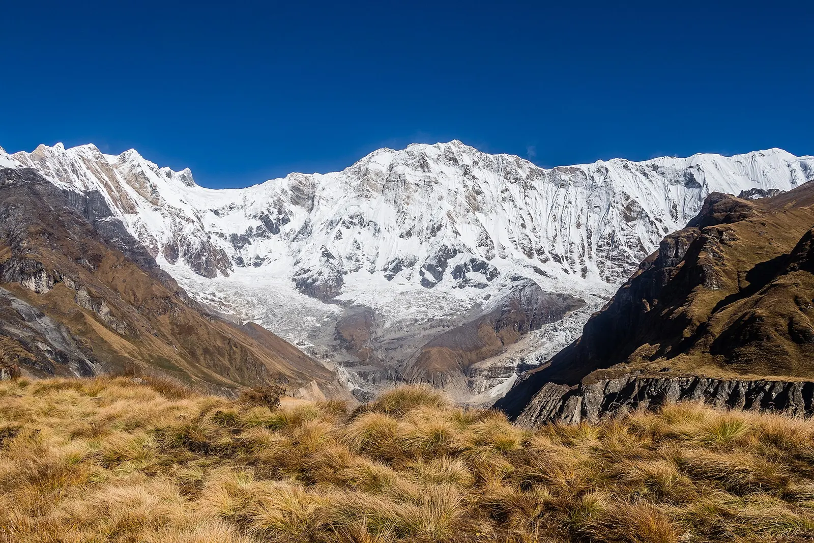
The broad snow-covered south face of Annapurna I rising above golden grass at Annapurna Base Camp

A teahouse trek from the road heads north of Pokhara through Gurung villages and the bamboo forest of the Modi Khola gorge into the Annapurna Sanctuary, to Annapurna Base Camp at about 4,130 m.

Days
8 days
Maximum altitude
4,130 m
Difficulty
Moderate

Questions about Ghandruk

How do I get to Ghandruk from Pokhara?

Drive 1.5-2 hours to Nayapul, then take a jeep for about 2-3 hours to Ghandruk, or walk up in 5-7 hours via Birethanti and Kimche.

Do I need a permit for Ghandruk?

Yes, Ghandruk is in the Annapurna Conservation Area, so you need an ACAP permit; check the current TIMS and guide rules.

When is the best time to visit Ghandruk?

October-November and March-April give the best views and weather; the monsoon brings cloud, leeches and road disruption.

Can I visit Ghandruk without a long trek?

Yes, the jeep road makes a 2-3 day trip from Pokhara possible, with an overnight in the village.

More in Annapurna Region

All of Annapurna Region
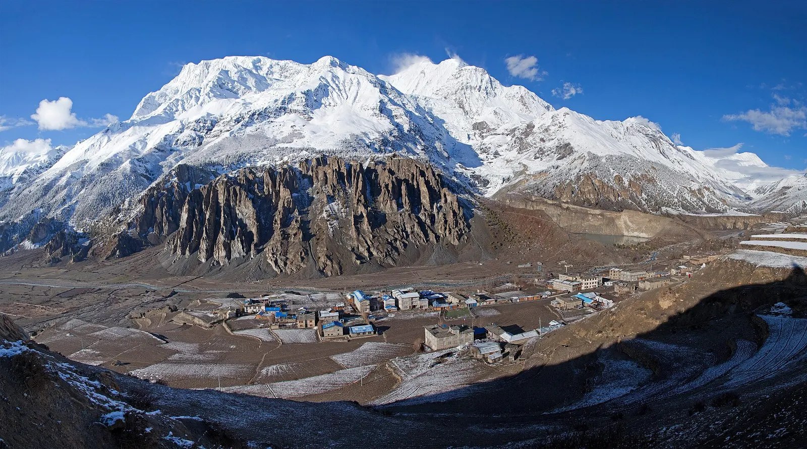
Manang village in the upper Marsyangdi valley with Annapurna III and Gangapurna behind.

Town or village · 3,519 m

Manang

A high stone village in the upper Marsyangdi valley below Annapurna III and Gangapurna, where Circuit trekkers stop to acclimatise.

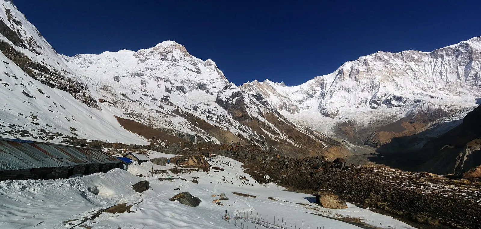
Snow-covered ground and lodge roofs at Annapurna Base Camp below Annapurna I and its neighbouring peaks under a deep blue sky.

Trek stop · 4,130 m

Annapurna Base Camp

Lodges at about 4,130 m in the glacial basin of the Annapurna Sanctuary, below the south face of Annapurna I.

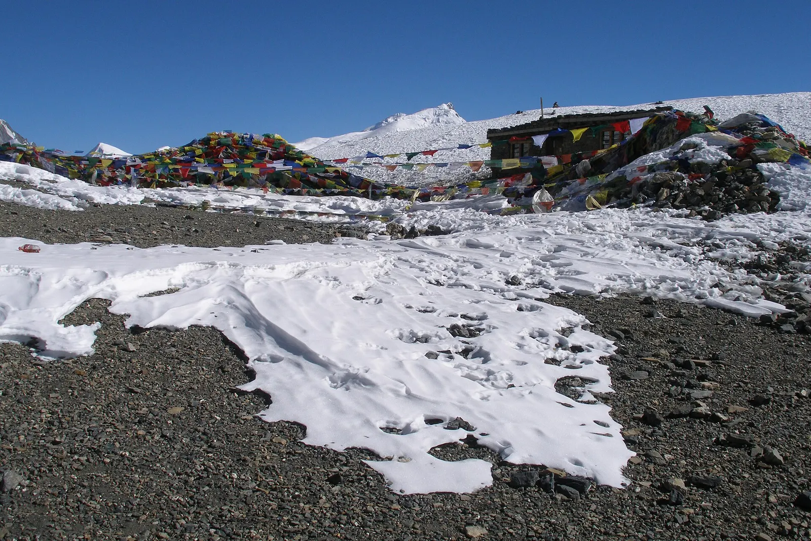
Prayer flags and a small stone hut at the Thorong La, with patches of snow on grey scree under a blue sky.

Mountain pass · 5,416 m

Thorong La

The 5,416 m pass between Manang and Muktinath, the high point of the Annapurna Circuit.

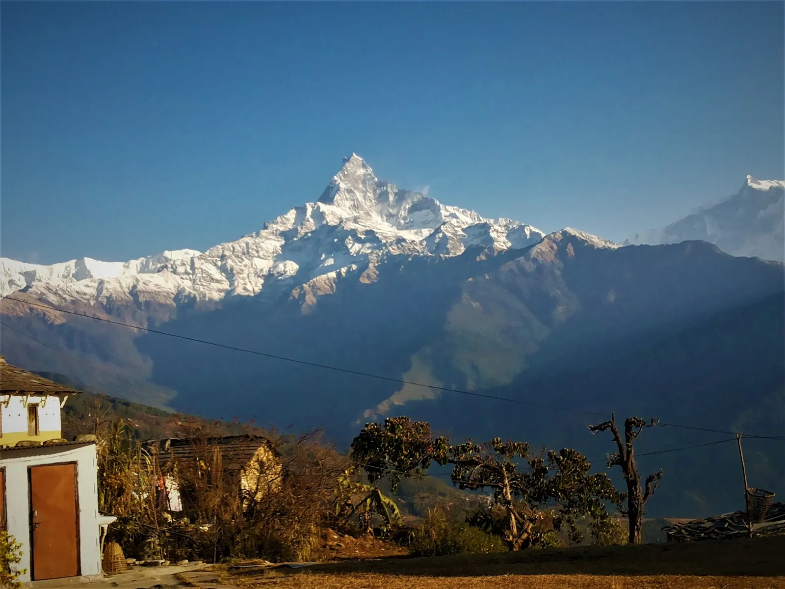
Machhapuchhre and the Annapurna range above forested ridges, seen from Australian Camp.

Trek stop · 2,060 m

Australian Camp

A grassy clearing at about 2,060 m above Kande with a wide view of the Annapurna range and Machhapuchhre, an easy walk from the road.

Trek stop · 2,310 m

Bamboo

A group of lodges in the bamboo forest of the Modi Khola gorge, the first overnight stop above Chhomrong on the way to Annapurna Base Camp.

Chhomrong village spread across a steep hillside, seen from Lower Sinuwa across the valley.

Trek stop · 2,170 m

Chhomrong

The last permanent Gurung village before the Annapurna Sanctuary, built on a steep staircase facing Annapurna South and Machhapuchhre.

Trek stop · 1,650 m

Dhampus

A Gurung hill village above Phedi with views of Machhapuchhre and the Annapurnas, close to Pokhara.

Nearby

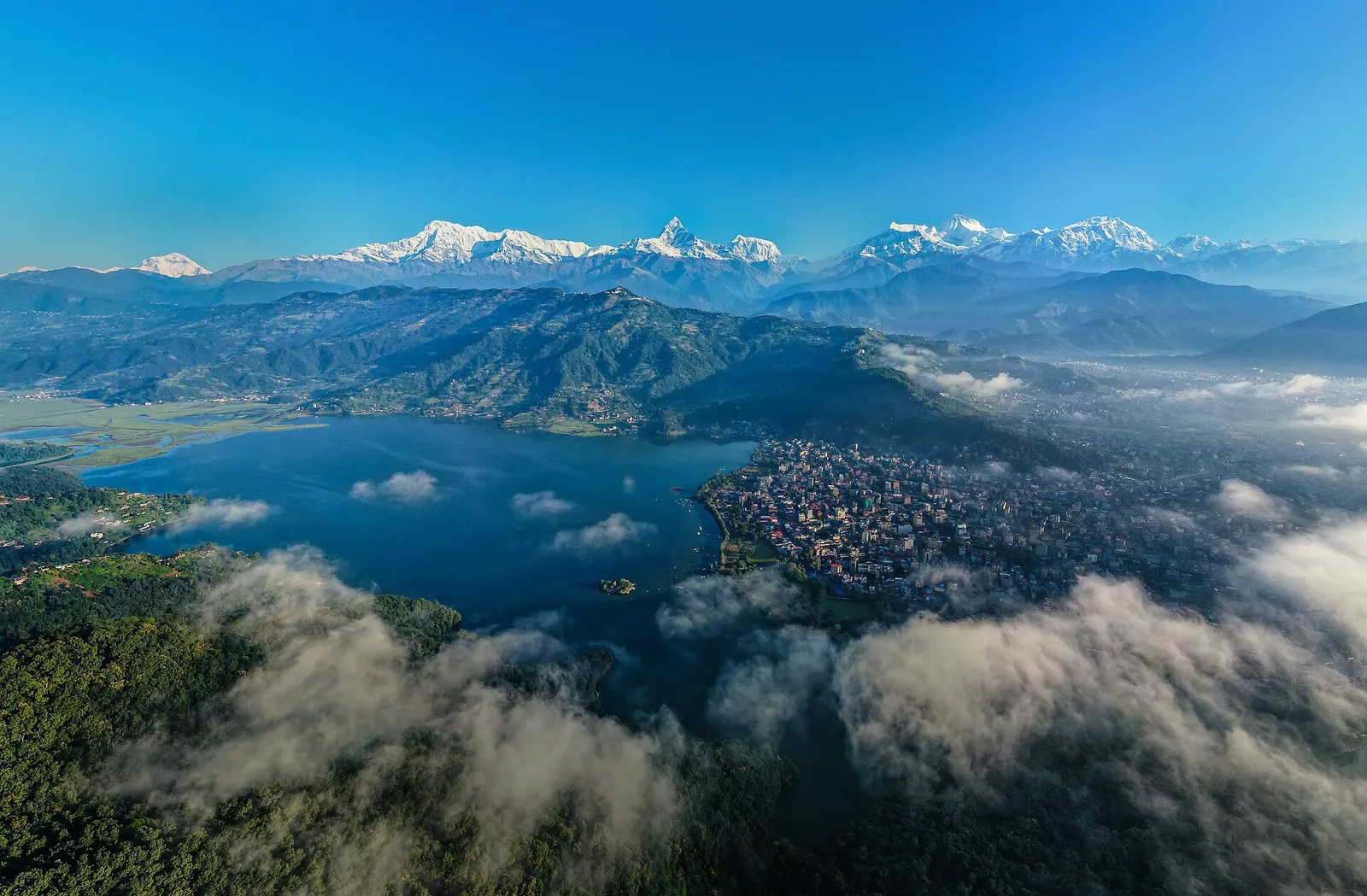
Morning view over Pokhara with Phewa Lake, the city under low cloud and the Annapurna range on the skyline.

Town or village · 822 m

Pokhara

A lakeside city about 200 km west of Kathmandu, with the Annapurna range and Machhapuchhre rising close to the north.

Editorial draft: facts are being checked against the sources below. Last checked 2026-10-06. Sources: Ghandruk, Wikipedia, Annapurna Sanctuary trek, Wikivoyage, Annapurna Conservation Area Project, NTNC