

Lake · 650 m
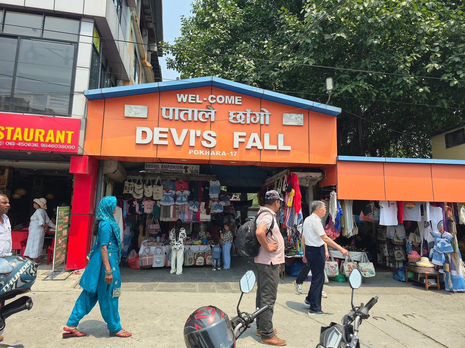
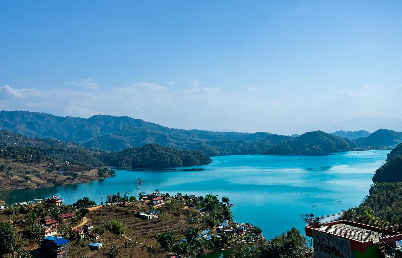
Begnas Lake
A quieter freshwater lake in the east of the Pokhara valley, ringed by forested ridges, rice terraces and fish farms.
Pokharaपाताले छाँगो
A waterfall in south Pokhara where the outflow of Phewa Tal drops into a narrow chasm and disappears underground.
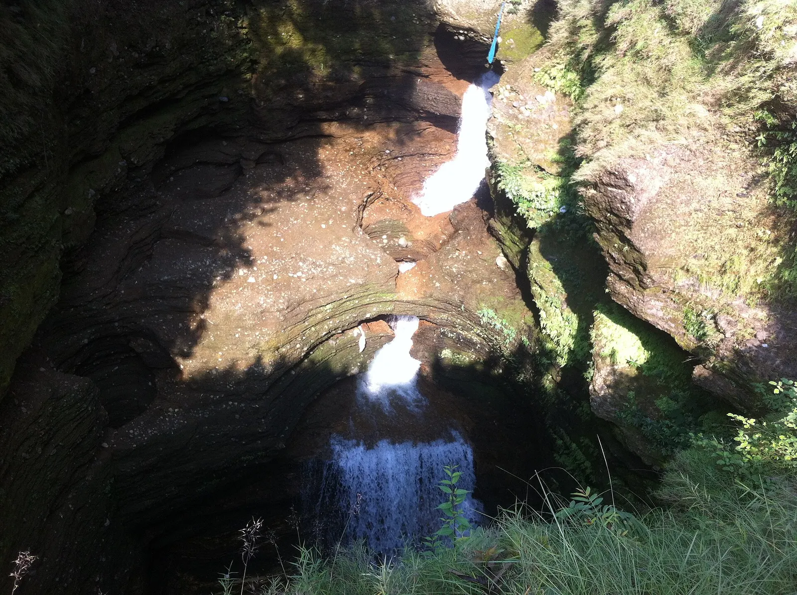
Davis Falls, known in Nepali as Patale Chhango (the waterfall to the underworld), is where the stream draining Phewa Tal suddenly plunges into a deep, twisting slot in the rock and vanishes from sight. It lies in Chhorepatan on the southern edge of Pokhara, about 1.5-2 km south of the Phewa dam at Damside, beside the Siddhartha Highway. A short paved path inside a small garden leads to railings and viewing points looking down into the chasm.
How much you see depends on the season. In the monsoon and just after it, the falls roar and throw up spray as a large volume of water forces into the gap. In the dry months of late winter and spring, the flow can shrink to a modest stream, and the carved, water-worn rock walls become the main interest. The water runs through an underground channel and reappears in the lower chamber of Gupteshwor Mahadev Cave on the other side of the road, so the two are usually visited together.
Within Pokhara, Davis Falls is one of the south-side group of sights with Gupteshwor Cave and the World Peace Pagoda on the ridge above, and makes an easy half-day trip from Lakeside.
The English name comes from an accident in July 1961, when a Swiss woman bathing near the stream was swept into the chasm when the water rose suddenly; her body was found days later downstream. Accounts differ on her name and on whether the place was meant to be called Davi's, Devi's or David's Falls, and all three spellings are still in use. The Nepali name, Patale Chhango, refers to Patal, the underworld, because the water seems to fall into the earth.
Geologically, the falls are part of the same story as the Pokhara Valley's caves. The valley floor is built of thick, porous deposits of gravel and conglomerate laid down by ancient floods from the Annapurna range, and streams have cut narrow slots and tunnels through them. Here the water drops into a passage that runs underground for several hundred metres before re-emerging downstream. The site is a popular outing for Nepali families as well as foreign visitors, with a small pond for wishing coins, a model of a traditional house and souvenir stalls around the entrance.
Walk the viewing path
Follow the short path around the chasm to the railings and viewpoints; allow about 30-45 minutes.
Cross to Gupteshwor Cave
Visit the cave opposite, where steps lead down to a chamber with a view of the falling water from below.
Combine with the pagoda
From Chhorepatan a road and footpaths climb to the World Peace Pagoda on the ridge above Phewa Tal.
Forecast for 780 m. Conditions change fast in the mountains.
Weather data: MET Norway, licensed CC BY 4.0. A forecast, not a guarantee.
Jul-Nov
There are a few simple guesthouses in Chhorepatan, but most visitors stay in Lakeside or Damside and come for a couple of hours.
No partner stays are listed here yet. List a property.
The falls are in Chhorepatan, on the Siddhartha Highway at the southern edge of Pokhara, about 1.5-2 km from Damside.
Nearest hub: Pokhara
Entry fee
A small entry ticket is charged at the gate, with a higher rate for foreign visitors.
Verify before travel: permit rules and fees change. Checked 2026-10-06 against Pokhara (Wikivoyage).
It is named after a Swiss woman who was swept into the chasm in 1961; the Nepali name, Patale Chhango, means a waterfall leading to the underworld.
During or just after the monsoon, from July to October, when the flow is strongest. In spring the falls can be very small.
Yes, a small ticket is sold at the gate, with a higher rate for foreigners.
About 4-6 km, roughly 15-20 minutes by taxi, in Chhorepatan on the southern edge of Pokhara.
Lake · 650 m
A quieter freshwater lake in the east of the Pokhara valley, ringed by forested ridges, rice terraces and fish farms.
Temple, monastery or heritage site · 778 m
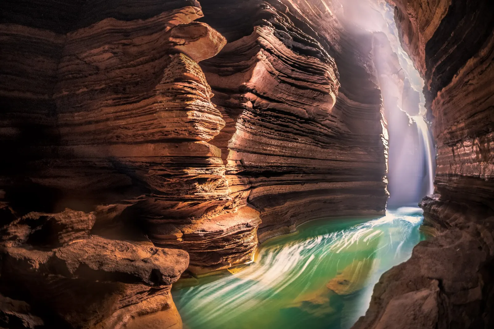
A Shiva cave shrine in south Pokhara, with a lower passage that ends behind the falling water of Davis Falls.
Temple, monastery or heritage site · 797 m
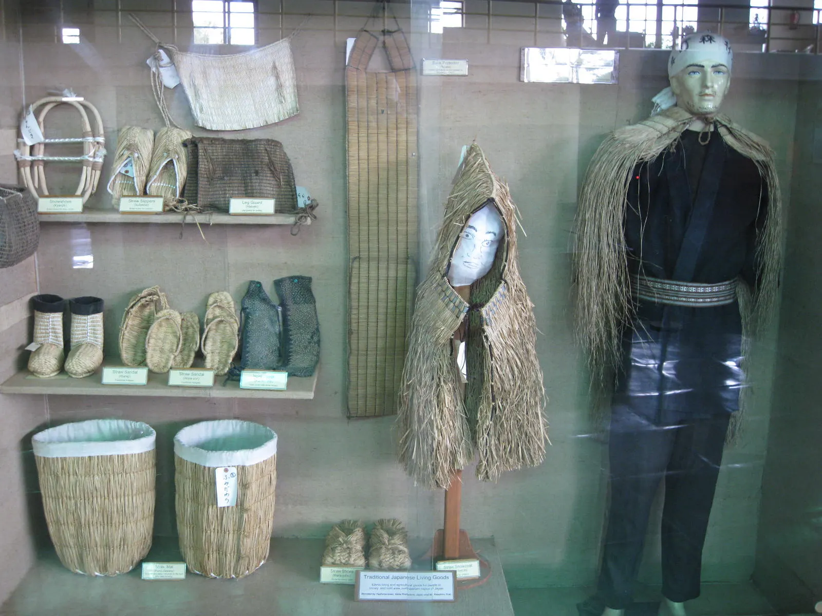
A museum in south Pokhara on the Himalaya's peaks, the people who climb them and the communities who live among them.
Lake · 2,546 m
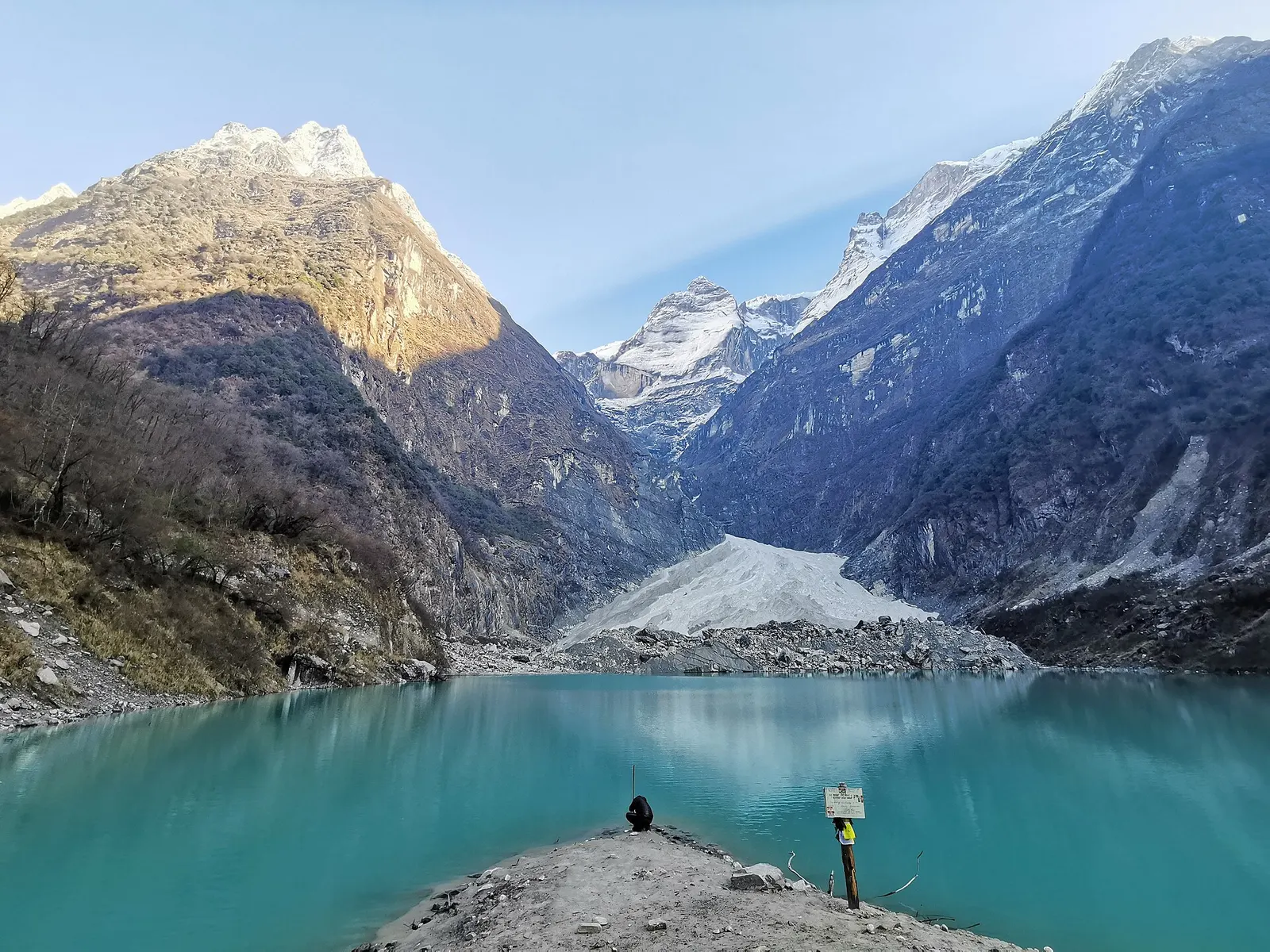
A glacier lake at about 2,546 m beneath Annapurna II and Lamjung Himal, reached by a short trek from the Gurung village of Sikles.
Viewpoint · 2,517 m
A forested hill at about 2,500 m west of Phewa Tal, with a temple and pond on top and views of the Annapurna and Dhaulagiri ranges.
Lake · 742 m
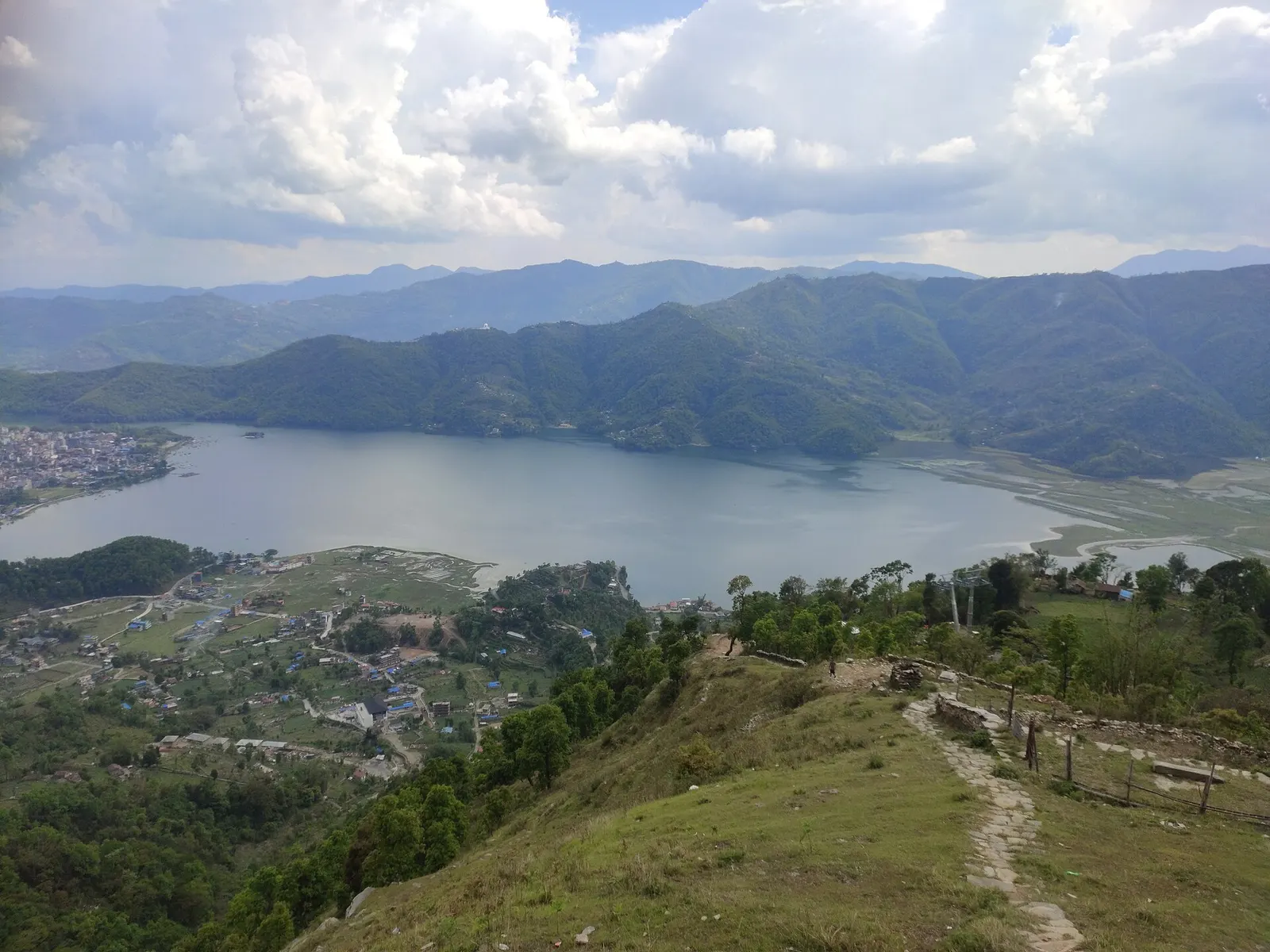
Pokhara's main lake, with rowing boats, an island temple and Machhapuchhre reflected on still mornings.
Lake · 600 m
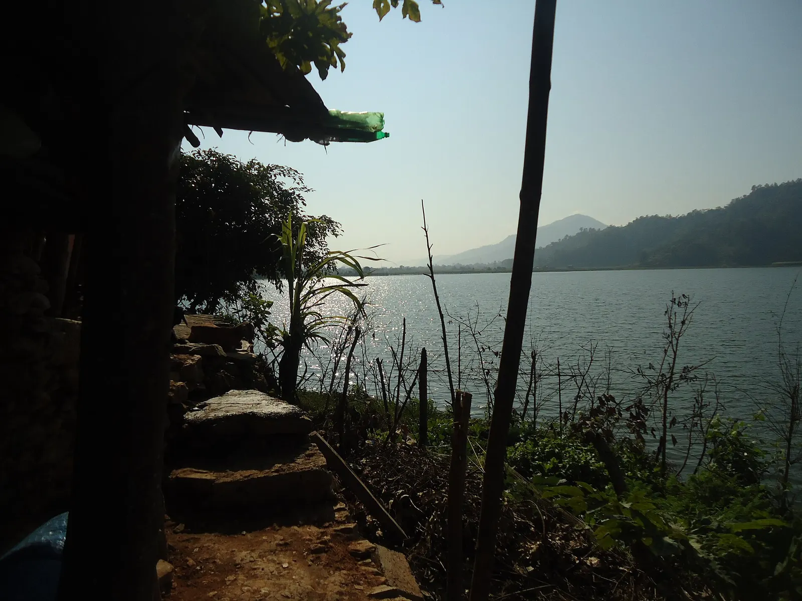
A small, shallow lake beside Begnas in the east of the Pokhara valley, managed by a local fisheries cooperative and rich in waterbirds.
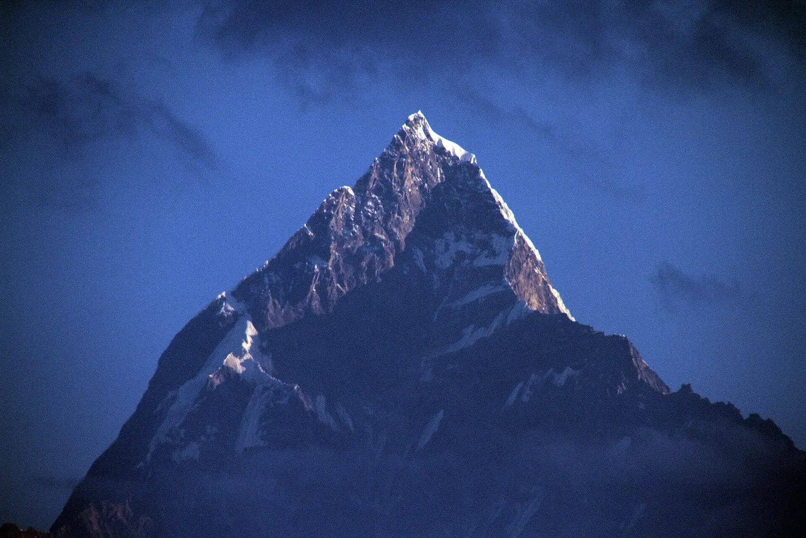
Viewpoint · 1,600 m
A ridge-top viewpoint on Pokhara's western edge, known for sunrise over the Annapurnas and as the city's paragliding launch.
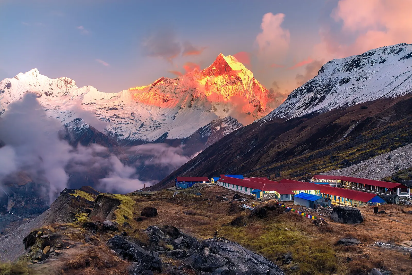
National park or conservation area
Nepal's largest protected area, from Gurung hill villages and rhododendron forest to the dry valleys behind the Annapurna range.