


Lake · 650 m
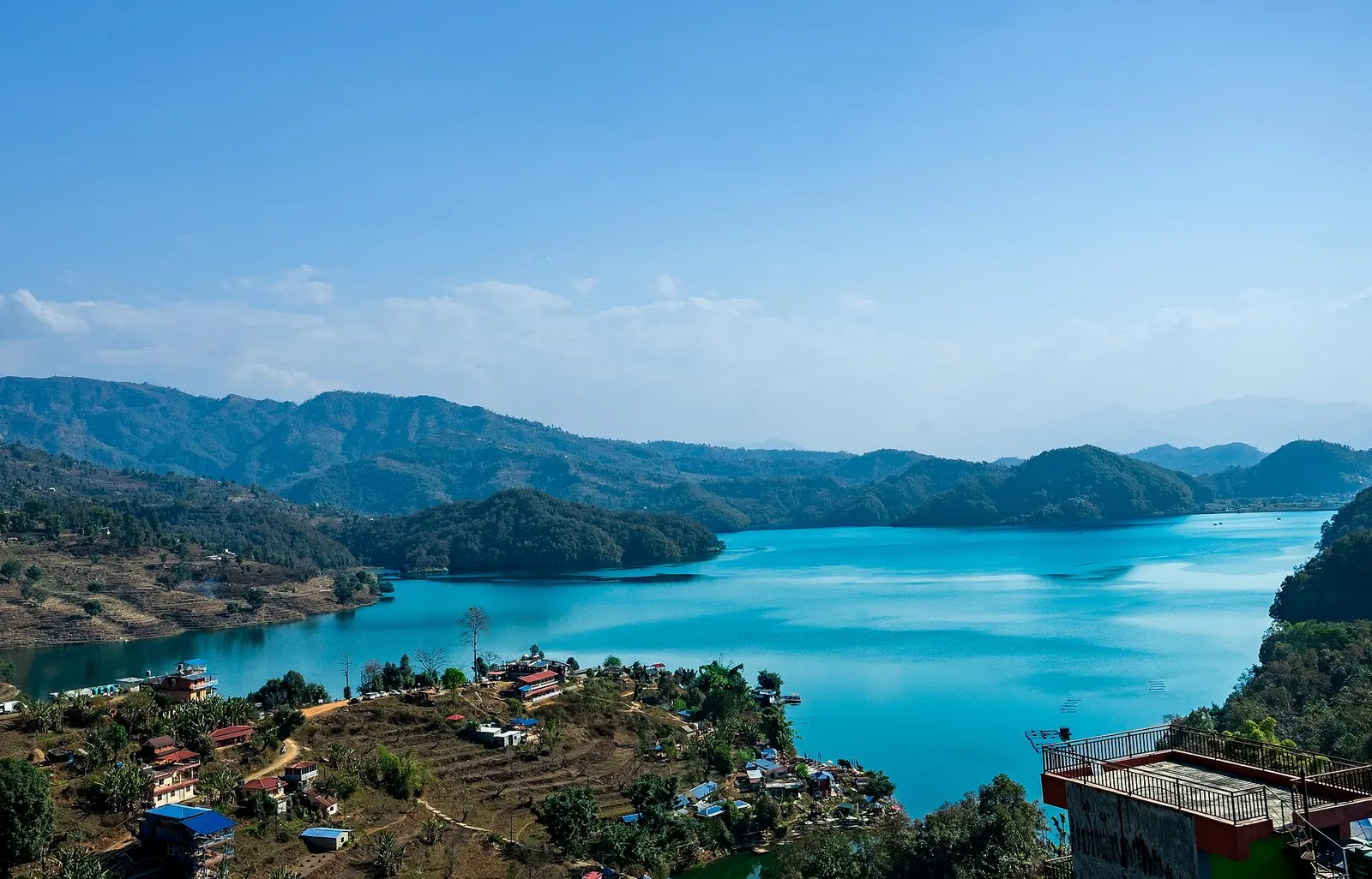
Begnas Lake
A quieter freshwater lake in the east of the Pokhara valley, ringed by forested ridges, rice terraces and fish farms.
Pokharaकपुचे ताल
A glacier lake at about 2,546 m beneath Annapurna II and Lamjung Himal, reached by a short trek from the Gurung village of Sikles.
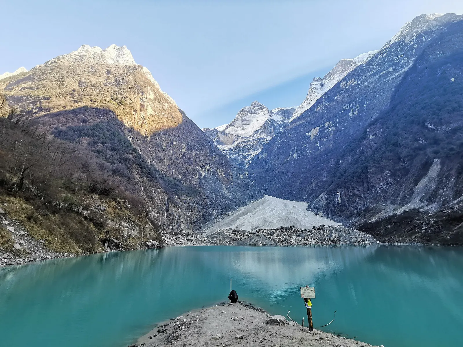
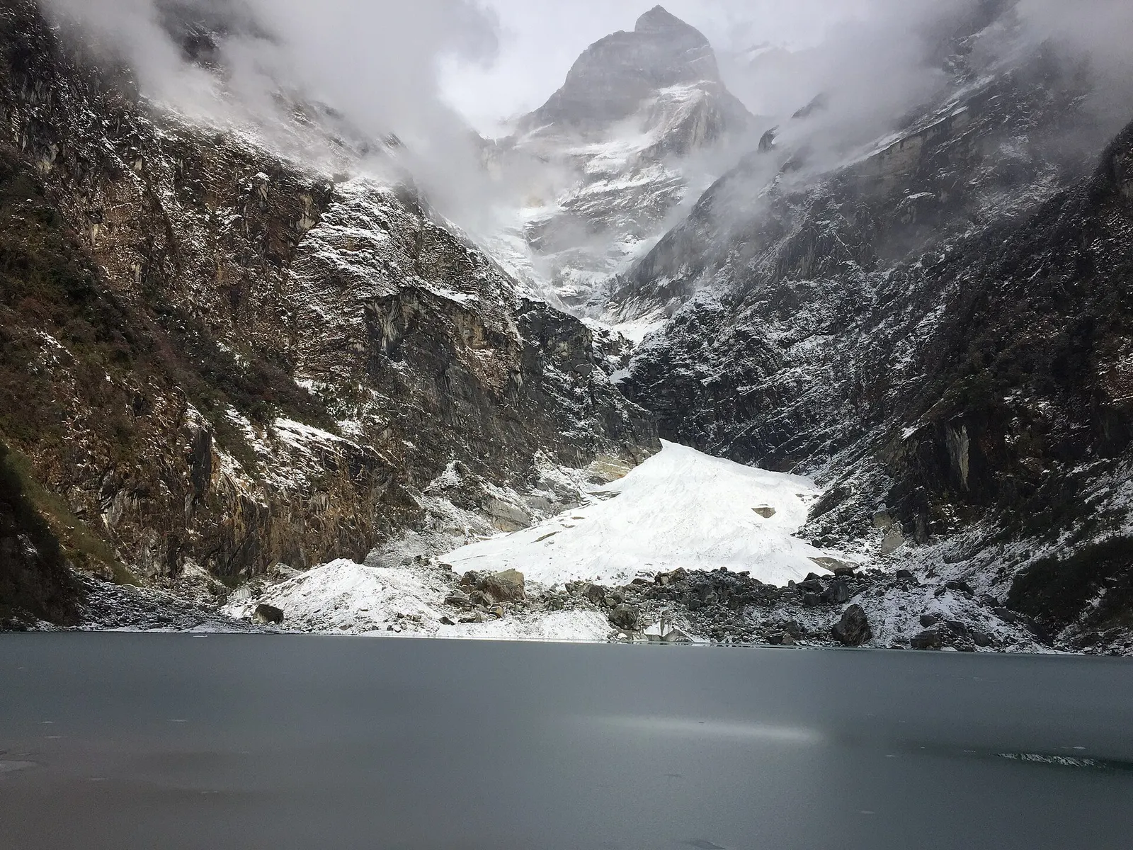
Kapuche Lake sits in a basin at the foot of the Annapurna range, north-east of Pokhara, and is one of the longer excursions grouped under Pokhara. Avalanches and ice falling from the slopes of Annapurna II and Lamjung Himal land in and around the lake, and in winter its surface freezes. It is promoted locally as the lowest-lying glacier lake in the world, at around 2,546 m, a claim that is widely repeated but not formally established.
The lake is reached from Sikles, one of the largest Gurung villages in Kaski, in the Madi valley. Most people spend two to four days on the round trip from Pokhara: a drive to the road head, a night in Sikles, then a walk of roughly 12-13 km to the lake via the herding camp at Hugu, and back. The trail climbs through forest and open grazing land with close views of Lamjung Himal and the Annapurna II massif.
Because the lake lies well below 3,000 m, altitude is rarely a problem, which makes it a good short trek for families and first-time trekkers. Facilities beyond Sikles are very basic, and the route is quiet compared with the main Annapurna trails.
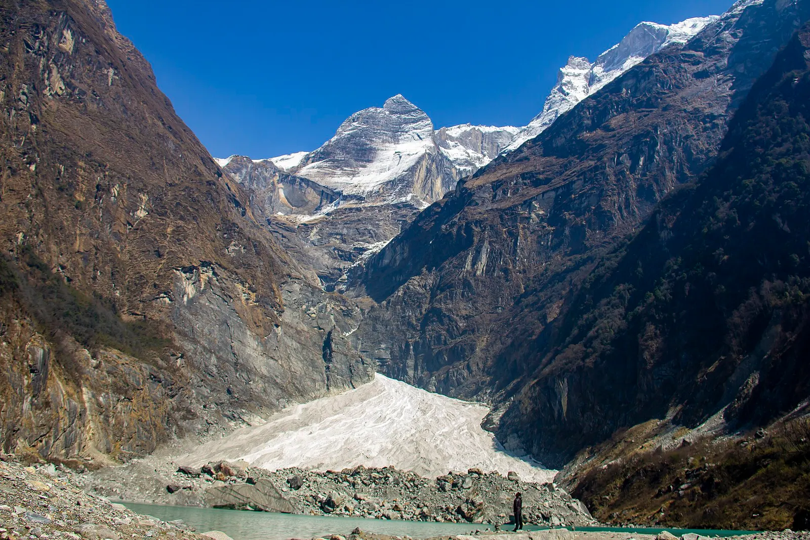
Local accounts explain the name through the Gurung language, splitting it into syllables that describe snow breaking off a slope and sliding down to settle on flat ground, a description of the avalanches that feed the lake. Herders from Sikles have long used the pastures around Hugu and Kapuche for summer grazing.
Sikles itself is a compact Gurung village of stone houses with slate roofs, with a strong tradition of service in the British and Indian armies and a long relationship with the Annapurna Conservation Area Project. Visitors may see Gurung dances and dress during festivals such as Lhosar and at community homestay programmes.
Sikles to Kapuche trek
Walk from Sikles through forest and pasture to the lake, roughly 6-7 hours up via Hugu; many people overnight at Hugu and visit the lake early in the morning.
Explore Sikles
Spend a day in the village to see traditional Gurung houses, terraced fields and local homestays.
Winter ice
In winter the lake partly or fully freezes; go with a guide and keep well clear of avalanche slopes and thin ice.
Forecast for 2,546 m. Conditions change fast in the mountains.
Weather data: MET Norway, licensed CC BY 4.0. A forecast, not a guarantee.
Mar-May, Oct-Nov
Sikles has homestays and simple lodges. Above the village, the Hugu area has only very basic shelter, and some groups camp.
No partner stays are listed here yet. List a property.
Drive from Pokhara north-east into the Madi valley towards Sikles, then trek the last stage to the lake. Road conditions beyond the main valley vary with the season.
Nearest hub: Pokhara
Permit required
Sikles and Kapuche Lake lie inside the Annapurna Conservation Area, so an Annapurna Conservation Area entry permit is required.
Verify before travel: permit rules and fees change. Checked 2026-10-06 against Annapurna Conservation Area Project, NTNC.
On the Sikles and Kapuche Lake trek.
Drive about 4-6 hours by jeep to Sikles in the Madi valley, then trek roughly 6-7 hours to the lake, usually with a night at Hugu.
It is widely promoted as such at around 2,546 m, but the claim has not been formally verified.
Yes, the area is inside the Annapurna Conservation Area, so you need an ACAP permit; check current TIMS and guide rules.
The lake is below 3,000 m, so the risk is low for most people, though everyone should know the symptoms.
Lake · 650 m
A quieter freshwater lake in the east of the Pokhara valley, ringed by forested ridges, rice terraces and fish farms.
Viewpoint · 780 m
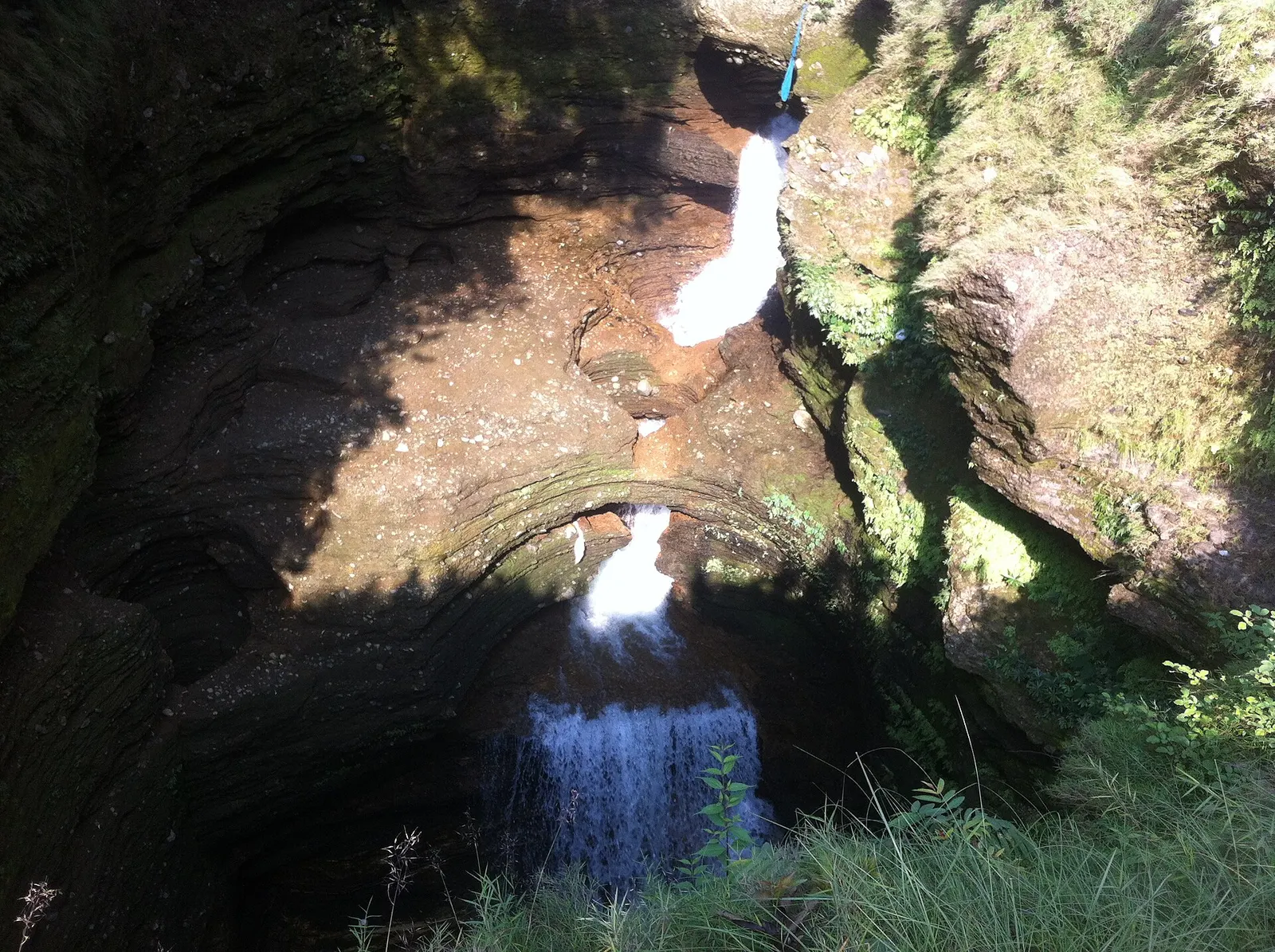
A waterfall in south Pokhara where the outflow of Phewa Tal drops into a narrow chasm and disappears underground.
Temple, monastery or heritage site · 778 m
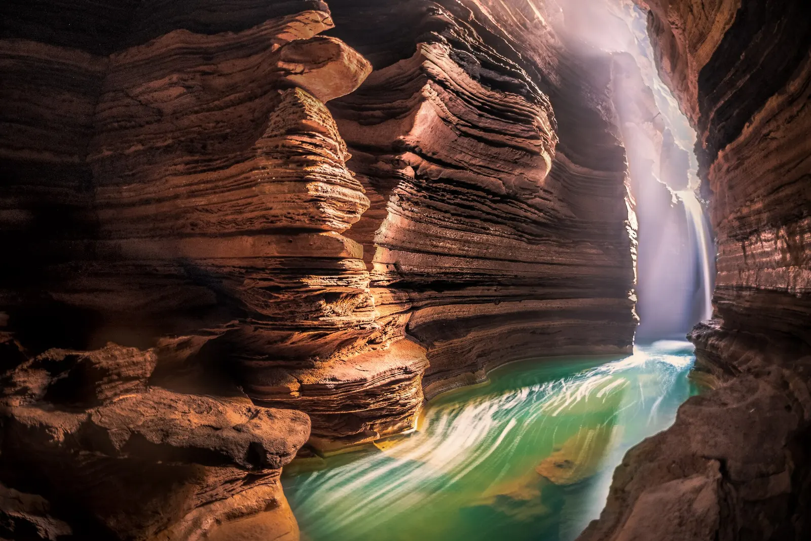
A Shiva cave shrine in south Pokhara, with a lower passage that ends behind the falling water of Davis Falls.
Temple, monastery or heritage site · 797 m
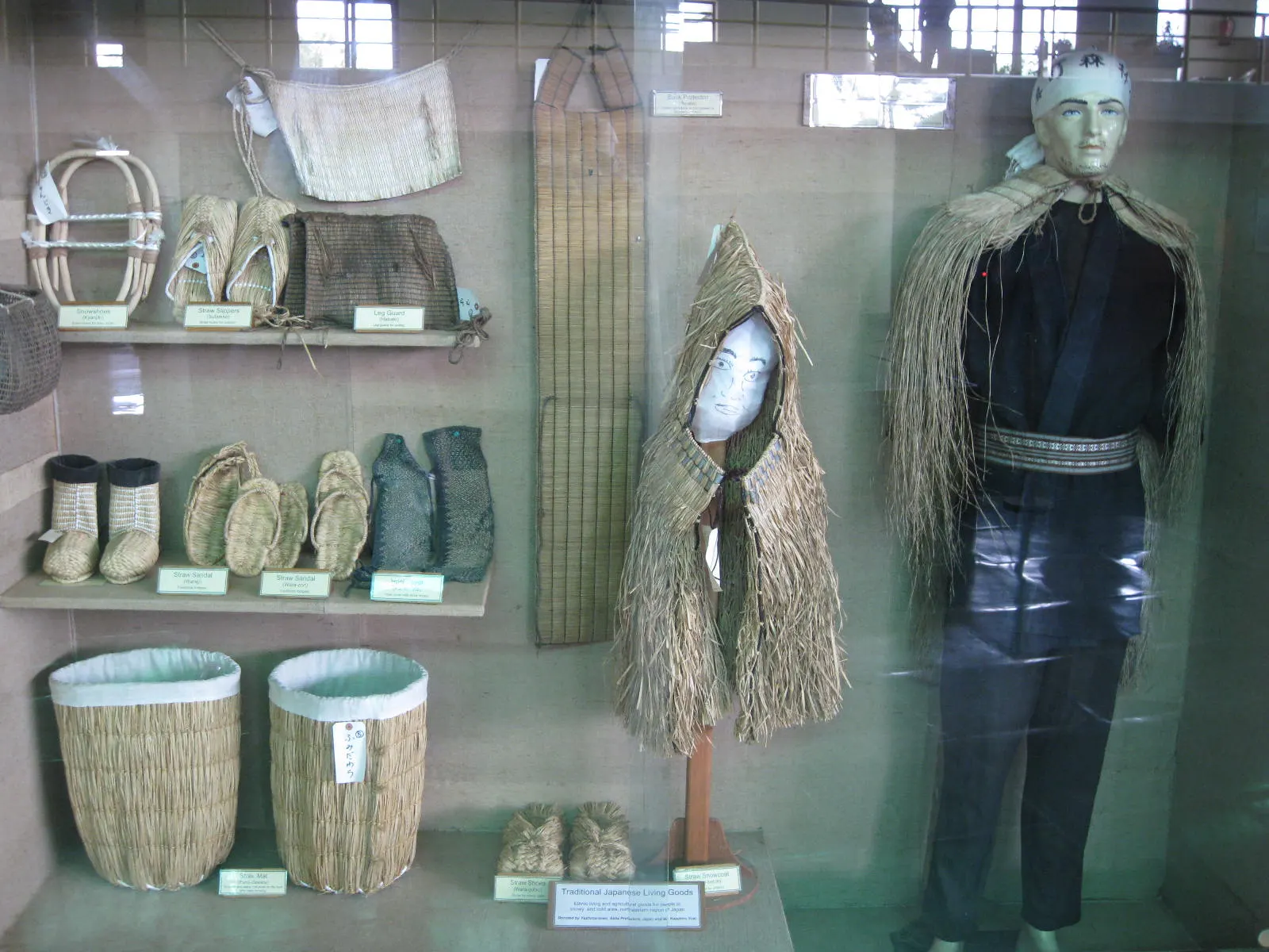
A museum in south Pokhara on the Himalaya's peaks, the people who climb them and the communities who live among them.
Viewpoint · 2,517 m
A forested hill at about 2,500 m west of Phewa Tal, with a temple and pond on top and views of the Annapurna and Dhaulagiri ranges.
Lake · 742 m
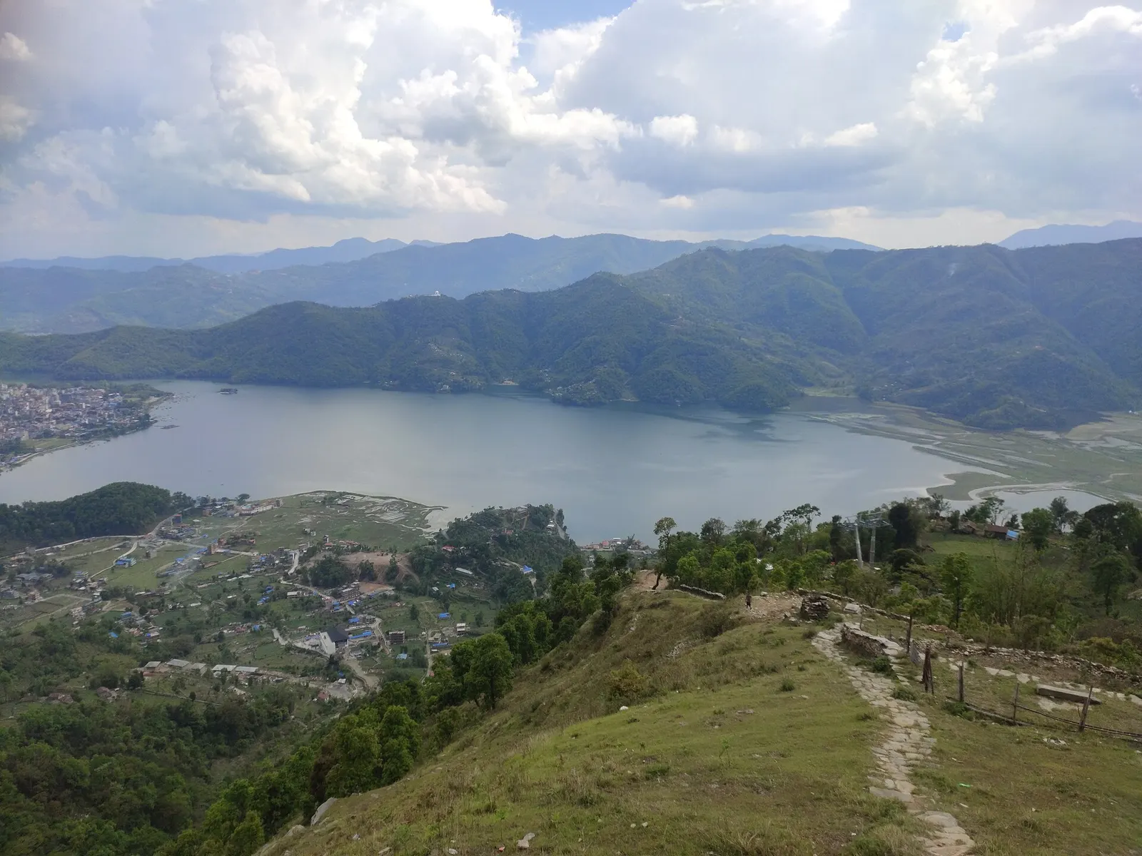
Pokhara's main lake, with rowing boats, an island temple and Machhapuchhre reflected on still mornings.
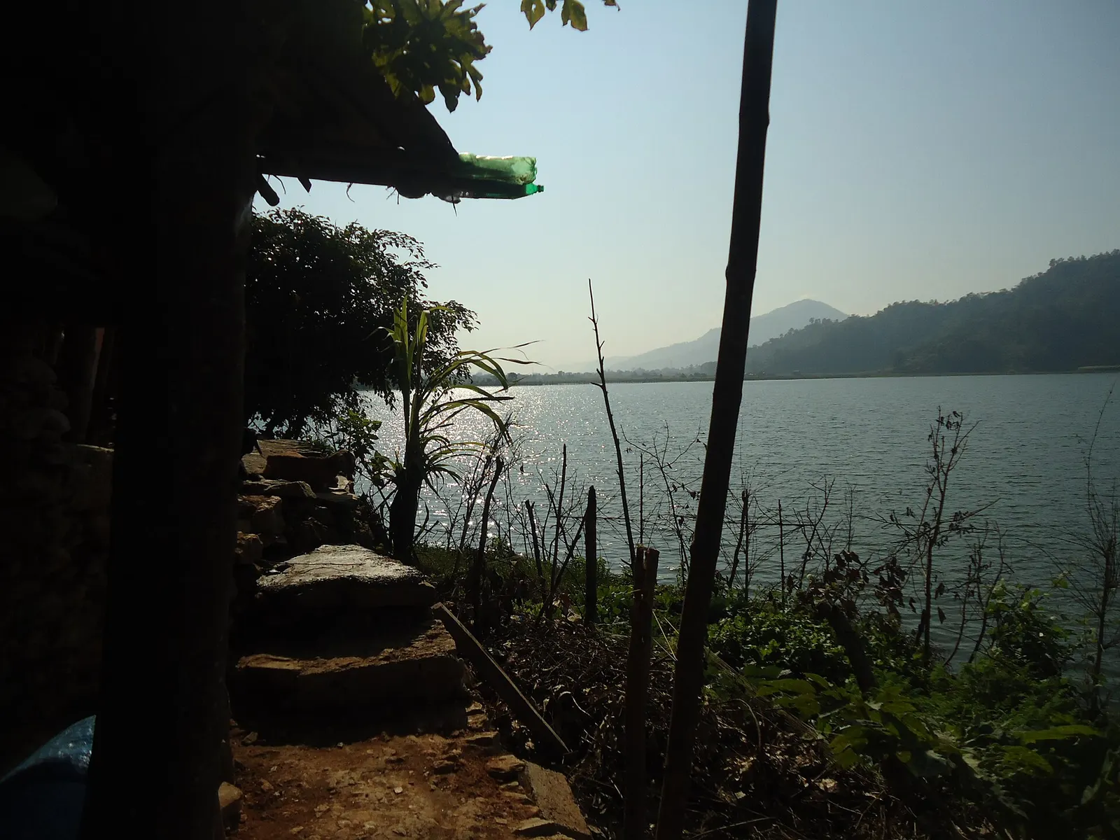
Lake · 600 m
A small, shallow lake beside Begnas in the east of the Pokhara valley, managed by a local fisheries cooperative and rich in waterbirds.
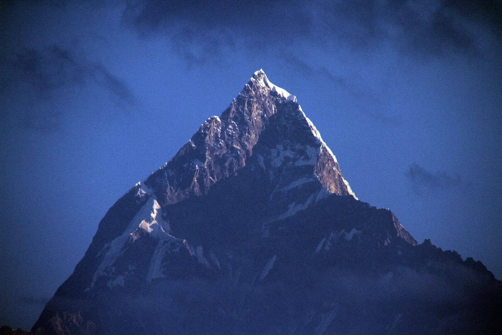
Viewpoint · 1,600 m
A ridge-top viewpoint on Pokhara's western edge, known for sunrise over the Annapurnas and as the city's paragliding launch.
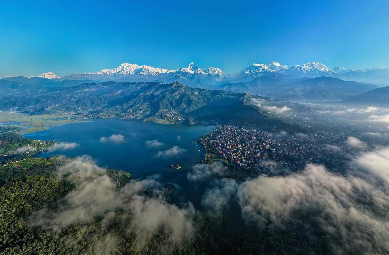
Town or village · 822 m
A lakeside city about 200 km west of Kathmandu, with the Annapurna range and Machhapuchhre rising close to the north.
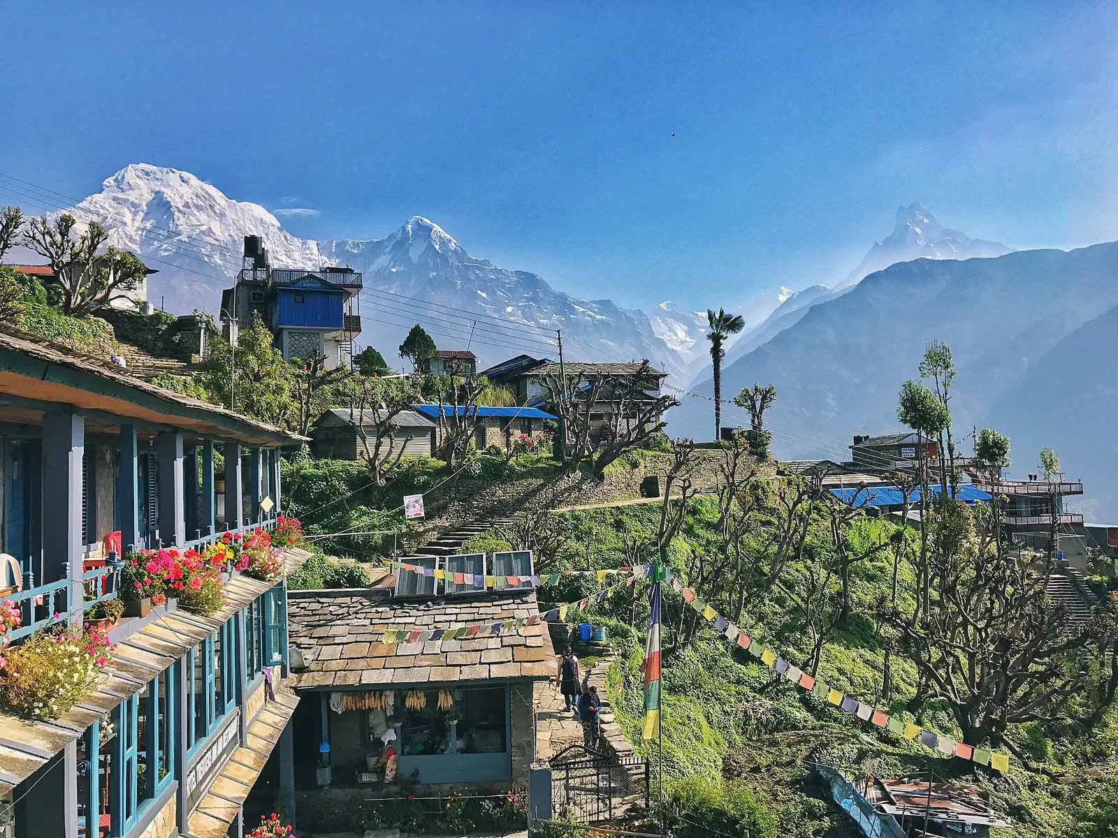
Town or village · 2,012 m
A large Gurung village of stone houses and terraces facing Annapurna South and Machhapuchhre, on the trails to Annapurna Base Camp and Poon Hill.