
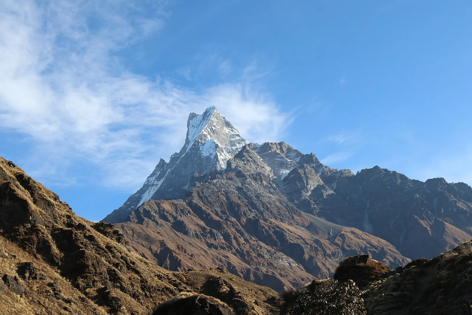
A ridge trek from Kande near Pokhara through rhododendron forest to the open crest below Machhapuchhre, with a day climb to Mardi Himal Base Camp at about 4,500 m.
- Days
- 6 days
- Maximum altitude
- 4,500 m
- Difficulty
- Moderate
Annapurna Regionअस्ट्रेलियन क्याम्प
A grassy clearing at about 2,060 m above Kande with a wide view of the Annapurna range and Machhapuchhre, an easy walk from the road.
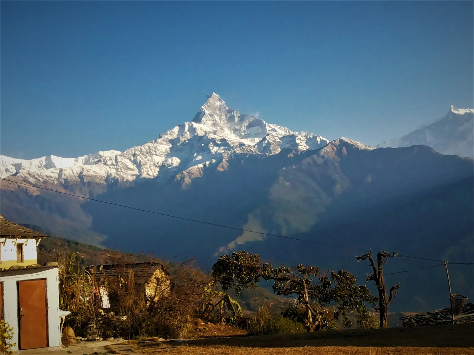
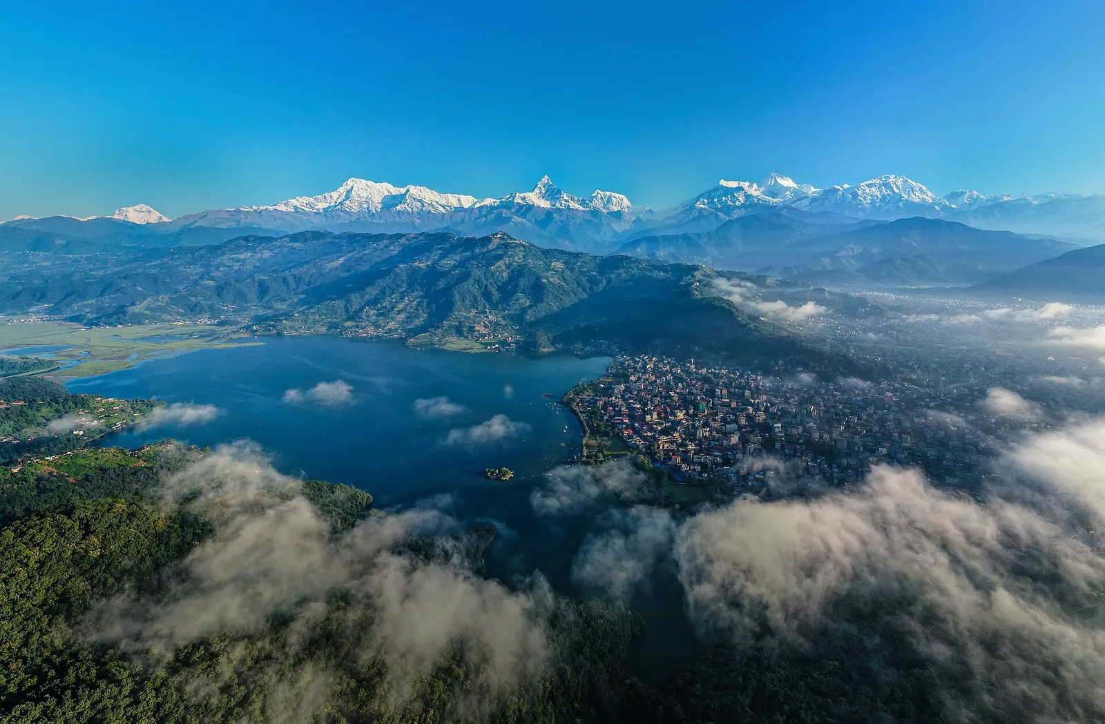
Australian Camp is an open grassy shoulder at about 2,060 m on the ridge above Kande, about 1-2 hours' walk from the Pokhara-Baglung road. From the clearing the view runs from Annapurna South and Hiunchuli to Machhapuchhre, Annapurna IV and Lamjung Himal, with Pokhara and Phewa Tal visible to the south on clear days.
It is the first stop on the Mardi Himal trek and an alternative start for the Annapurna Base Camp trek via Pothana, Tolka and Landruk. On its own it makes a one-night trip from Pokhara, often continued to Dhampus and down to Phedi.
Locally the clearing was known as Thulo Kharka, 'the big pasture', grazing land for the villages around. Trekking sources say that Austrian visitors camped here in the 1980s and that 'Austrian Camp' turned into 'Australian Camp', which was easier to say; the story is told locally but not documented. Today lodges and tented camps stand around the meadow.
Sunrise from the meadow
The peaks to the north catch the first light; on clear mornings Pokhara is visible to the south.
Walk to Dhampus
Continue about an hour east and down to the Gurung village of Dhampus, then to Phedi for transport back.
Forecast for 2,060 m. Conditions change fast in the mountains.
Weather data: MET Norway, licensed CC BY 4.0. A forecast, not a guarantee.
Feb-Apr, Oct-Dec
Several lodges and tented camps around the meadow.
No partner stays are listed here yet. List a property.
Drive to Kande on the Pokhara-Baglung road, then walk up.
Nearest hub: Pokhara
Permit required
Australian Camp is at the southern edge of the Annapurna Conservation Area. Treks continuing to Mardi Himal or ABC need an ACAP permit; for a short hike, sources disagree on whether it is checked.
Verify before travel: permit rules and fees change. Checked 2026-10-06 against National Trust for Nature Conservation (Annapurna Conservation Area Project, e-permit links).
On the Australian Camp trek, Mardi Himal trek, Annapurna Base Camp trek (via Pothana).
A ridge trek from Kande near Pokhara through rhododendron forest to the open crest below Machhapuchhre, with a day climb to Mardi Himal Base Camp at about 4,500 m.
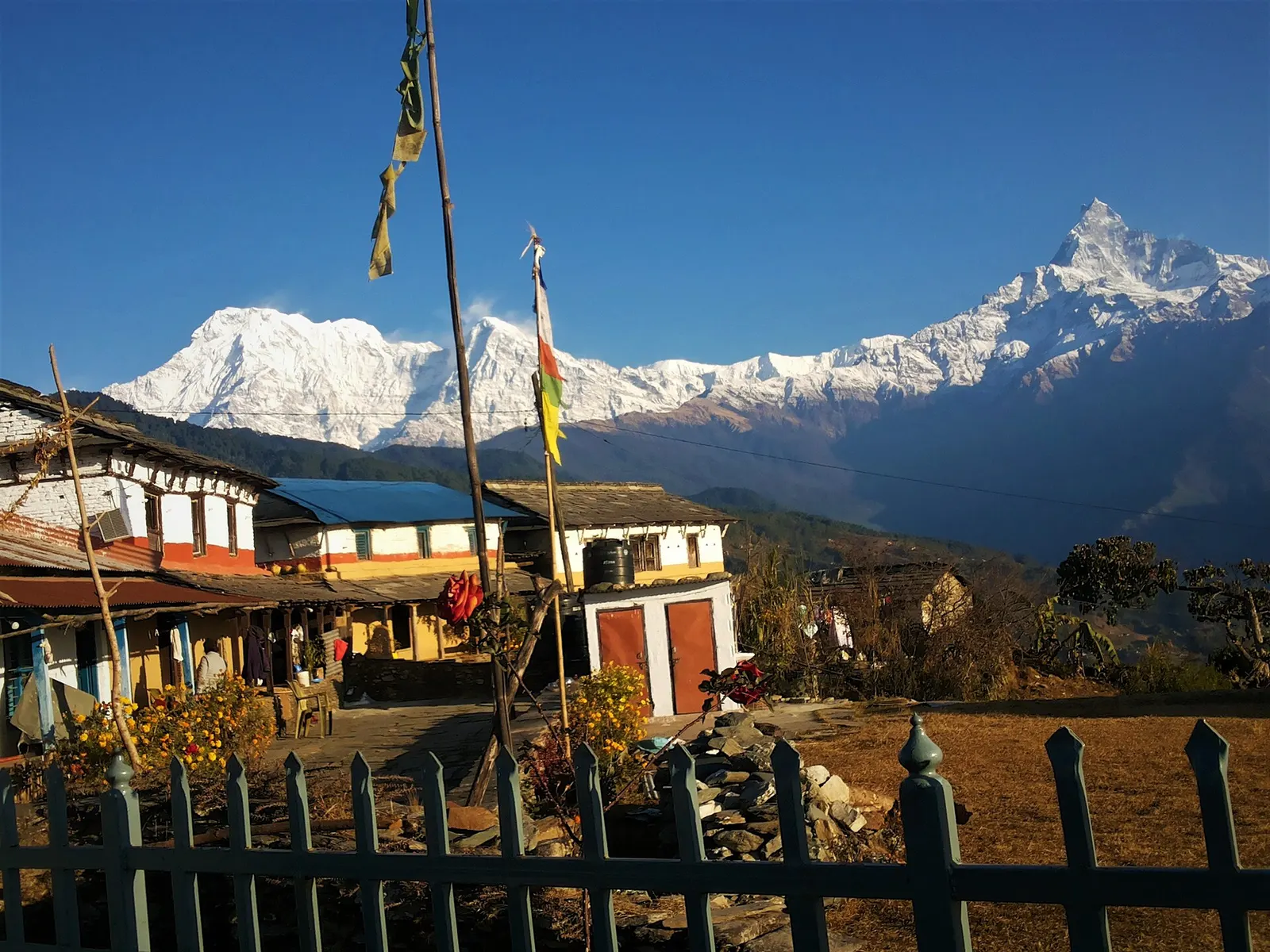
A one- or two-day walk from Kande near Pokhara to Australian Camp, a grassy viewpoint at about 2,060 m facing the Annapurnas and Machhapuchhre, returning via Dhampus and Phedi.
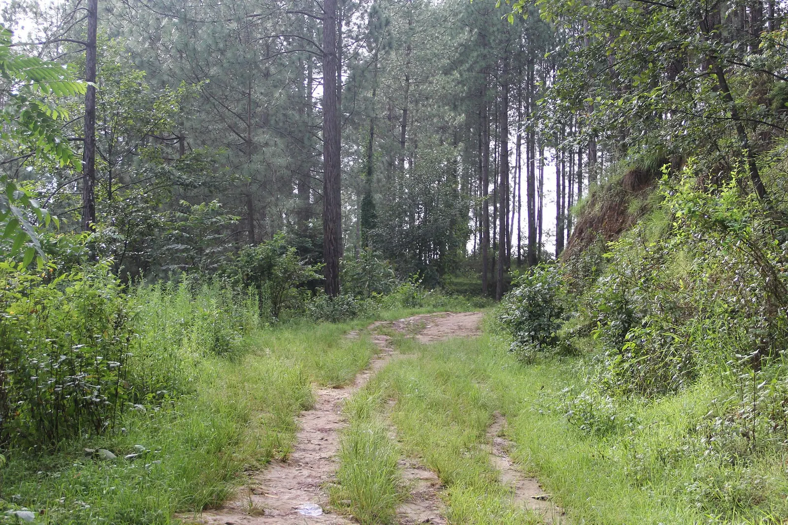
A short, low walk south-east of Kathmandu from Dhulikhel to the Buddhist pilgrimage site of Namo Buddha, on to the farming village of Balthali, and down to the old Newar town of Panauti. No permit needed.
Trekking sources say Austrian visitors camped here in the 1980s and the name changed to Australian Camp over time; its local name is Thulo Kharka.
About 45 minutes to 1.5 hours by road to Kande, then 1-2 hours on foot.
For treks beyond it, an ACAP permit is needed; for a short hike, check locally as sources disagree.
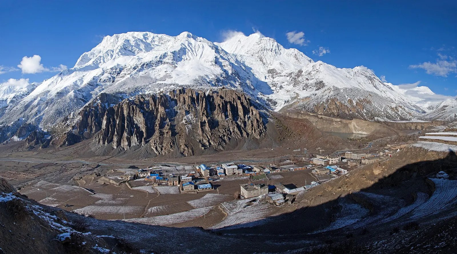
Town or village · 3,519 m
A high stone village in the upper Marsyangdi valley below Annapurna III and Gangapurna, where Circuit trekkers stop to acclimatise.
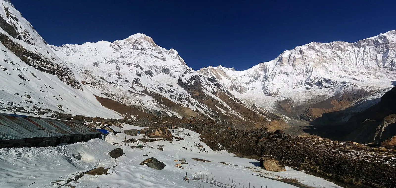
Trek stop · 4,130 m
Lodges at about 4,130 m in the glacial basin of the Annapurna Sanctuary, below the south face of Annapurna I.
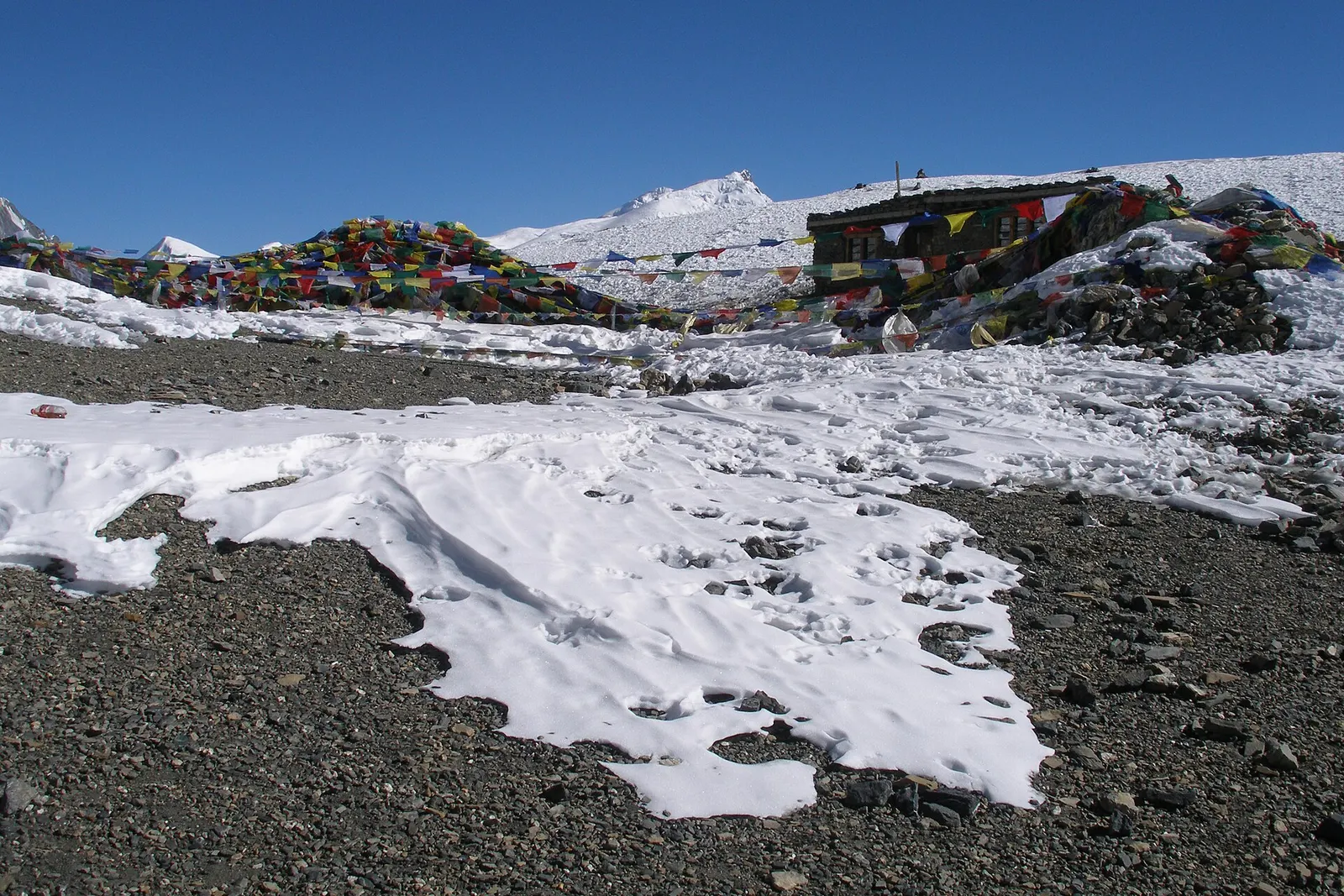
Mountain pass · 5,416 m
The 5,416 m pass between Manang and Muktinath, the high point of the Annapurna Circuit.
Trek stop · 2,310 m
A group of lodges in the bamboo forest of the Modi Khola gorge, the first overnight stop above Chhomrong on the way to Annapurna Base Camp.
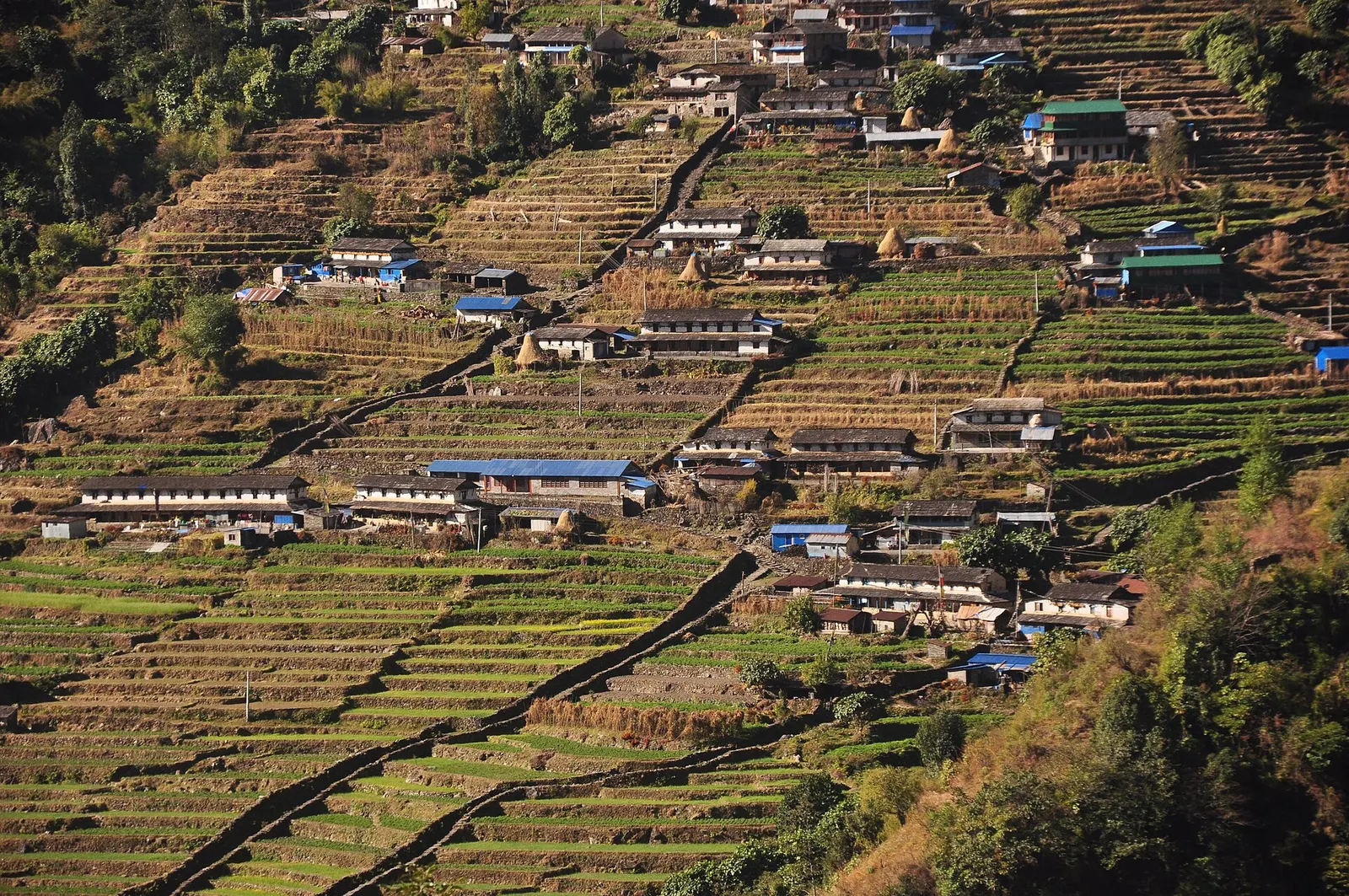
Trek stop · 2,170 m
The last permanent Gurung village before the Annapurna Sanctuary, built on a steep staircase facing Annapurna South and Machhapuchhre.
Trek stop · 3,200 m
The last lodges in the Modi Khola gorge before Machhapuchhre Base Camp, at about 3,200 m.
Trek stop · 1,650 m
A Gurung hill village above Phedi with views of Machhapuchhre and the Annapurnas, close to Pokhara.
Trek stop · 3,420 m
A small high lodge stop on the ridge between Tadapani and Khopra, the base for sunrise at the Muldai viewpoint.
Town or village · 822 m
A lakeside city about 200 km west of Kathmandu, with the Annapurna range and Machhapuchhre rising close to the north.