Temple, monastery or heritage site · 3,240 m
Rachen Gompa
A Buddhist nunnery on a terrace of the upper Tsum Valley, near Milarepa's cave and the villages of Chhokang Paro.
Tsum Valleyमु गुम्बा
The highest monastery of the Tsum Valley, set on a bare ridge near the Tibetan border at the head of the valley.
Higher seasonal exposure: altitude (All year), landslides (Jun-Sep), snow (Nov-Mar), cold (Nov-Feb).
Mu Gompa is a Buddhist monastery at about 3,700 m near the head of the Tsum Valley, about 2-3 hours' walk north of Nile and only a few kilometres from the Tibetan border. It is the highest and one of the largest monasteries in Tsum and the usual turning point of Tsum Valley treks. Within the Tsum Valley it is the destination most itineraries are built around.
The monastery stands on a bare slope above the river, a compact group of whitewashed and red-trimmed buildings with prayer flags, a courtyard and an assembly hall containing statues, thangkas and religious texts. Around it is a high, open landscape of yak pastures and moraine, with snow peaks along the border ridges. Visitors can usually stay in simple monastery guest rooms or nearby lodges, which lets you hear the morning and evening prayers.
From Mu Gompa, many trekkers make a short side trip to the Dhephyudonma nunnery on the slopes nearby, or walk further up the valley for views towards the border. Some groups continue on longer camping routes towards the Kalung and Bhajyo areas, which require experienced guides.
Local tradition dates the founding of Mu Gompa to 1895. It has long been a centre for Buddhist study, meditation and ritual for the Tsumba communities of the upper valley, with monks drawn from the villages below. Like the rest of Tsum, it belongs to the Tibetan Buddhist world that spans the border, and the monastery's festivals and prayer ceremonies follow the Tibetan calendar.
The valley around it is regarded as a beyul, a sacred hidden valley, and the monastery's setting reflects that tradition of retreat. Nearby Dhephyudonma, at about 4,060 m, is described as one of the oldest religious sites in the area, now home to only a few nuns. Visitors should respect prayer times, dress modestly and ask before taking photographs inside.
Attend prayers
Sit quietly at the back of the assembly hall during morning or evening puja if the monks allow.
Hike to Dhephyudonma
Walk up to the old nunnery at about 4,060 m for views over the upper valley; allow 2-3 hours return.
Acclimatisation walk
Walk a little higher up the valley towards the border pastures before returning to sleep at the monastery.
Forecast for 3,700 m. Conditions change fast in the mountains.
Weather data: MET Norway, licensed CC BY 4.0. A forecast, not a guarantee.
Apr-May, Oct-Nov
Basic guest rooms at the monastery and a small lodge nearby; expect shared facilities and cold rooms.
No partner stays are listed here yet. List a property.
Reach Mu Gompa on foot from Nile in about 2-3 hours, after 3-4 days walking up the Tsum Valley from Lokpa.
Nearest hub: Nile (upper Tsum Valley)
Nearest hub: Nile. Times are typical ranges, not schedules, and vary with roadworks, weather and the season.
On footfrom Nileabout 2-3 h2-3 h from Nile on an open trail, gaining about 300-400 m
On foot only, the top of the Tsum Valley trek, 3-4 walking days above Lokpa. Most groups come up from Nile for the morning or stay one night.
Restricted-area permit
Mu Gompa is in the Tsum Valley restricted area: foreigners need the Tsum Valley restricted area permit and the Manaslu Conservation Area permit, arranged through a registered agency.
Verify before travel: permit rules and fees change. Checked 2026-10-06 against Department of Immigration: Trekking route and permit fee.
On the Tsum Valley Trek, Manaslu Circuit with Tsum Valley.
What this place is typically exposed to, and when. These are seasonal patterns, not a report on conditions now.
Altitudehigh in a typical yearAll year
At roughly 3,700 m, thin air affects most people. General information, not medical advice: gain height slowly, build in acclimatisation days, learn the symptoms of altitude sickness (headache, nausea, breathlessness, broken sleep) and go down if they get worse. See a doctor before travelling and carry insurance that covers helicopter evacuation.
Landslideshigh in a typical yearJun-Sep
The approach up the Budhi Gandaki and the forested lower Tsum trail are landslide-prone in the June to September monsoon; the upper valley is drier but the way in is the problem.
Snowhigh in a typical yearNov-Mar
Snow lies around the monastery from late autumn to spring and facilities at this height are seasonal.
Coldhigh in a typical yearNov-Feb
Winter here is severe, with freezing days as well as nights.
Check current conditions before you travel
Roads, trails, passes and flights change with the weather and with roadworks, and nothing on this page describes conditions today. Before you set off, check the Department of Hydrology and Meteorology for weather and flood warnings, the Nepal Disaster Risk Reduction Portal for incidents, and the local authority, police or your licensed operator for road, trail and flight status.
About 3,700 m, the highest monastery in the Tsum Valley. Altitude sickness is possible, so ascend gradually.
Usually yes, in basic monastery guest rooms or a nearby lodge; a donation or fee is expected.
Walk 3-4 days up the Tsum Valley from Lokpa, with the last stage of 2-3 hours from Nile.
Yes, the Tsum Valley restricted area permit and the Manaslu Conservation Area permit, arranged through a registered agency.
Temple, monastery or heritage site · 3,240 m
A Buddhist nunnery on a terrace of the upper Tsum Valley, near Milarepa's cave and the villages of Chhokang Paro.
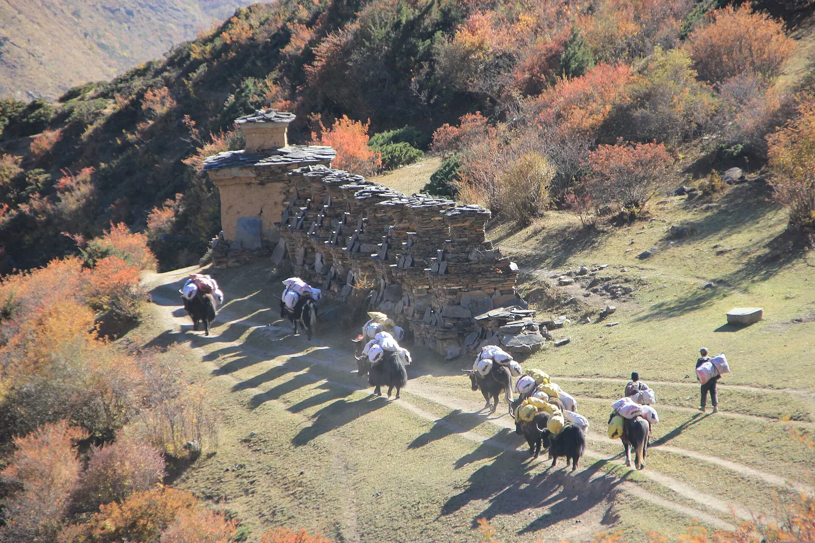
Trek stop · 3,031 m
Twin farming villages on a broad terrace in the upper Tsum Valley, the base for Rachen Gompa and Milarepa's cave.
Trek stop · 2,386 m
The first main village of lower Tsum, across the Shiar Khola from the trail from Lokpa.
Trek stop · 2,240 m
A small village above the Budhi Gandaki where the trail turns east into the Tsum Valley.
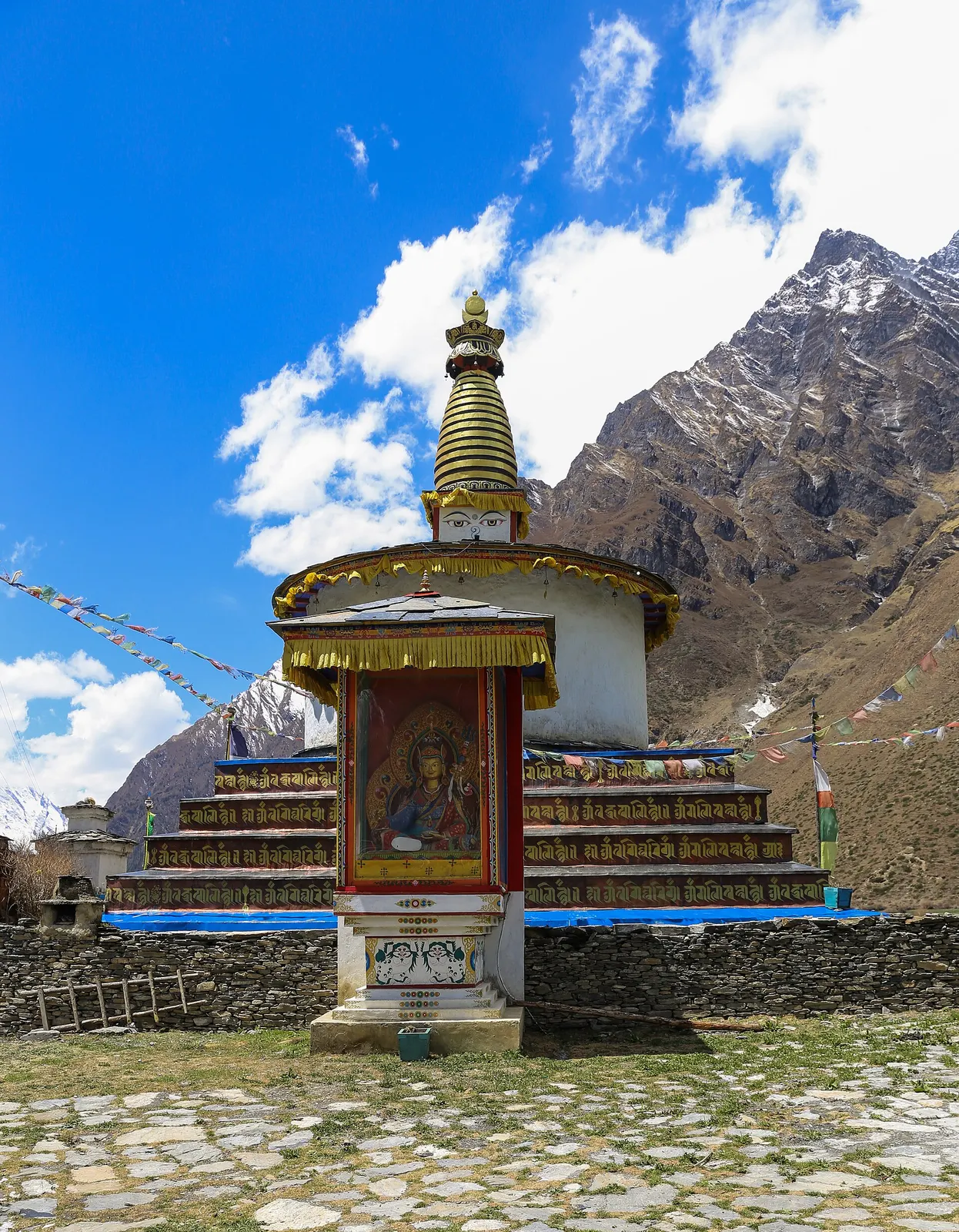
Trek stop · 3,361 m
The last village of the upper Tsum Valley, a cluster of stone houses facing Chhule, a short climb from Mu Gompa.
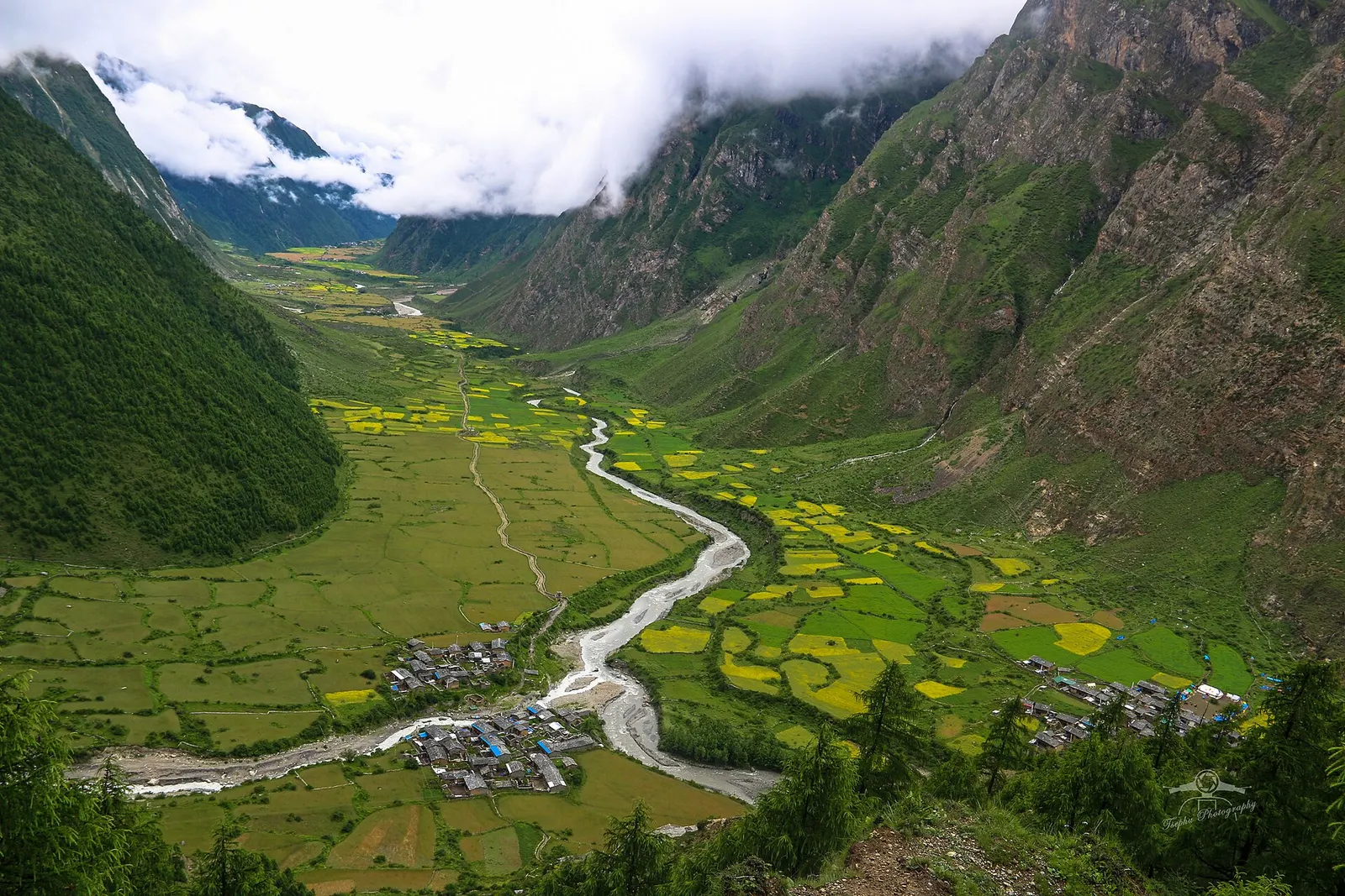
Valley or region
A restricted Buddhist side valley of the Manaslu region, with monasteries, Milarepa's cave and villages near the Tibetan border.