

Trek stop · 2,215 m
Chisapani
A ridge-top lodge village above Kathmandu, the first night of the Helambu trek.
Langtangहेलम्बु
Hyolmo villages, monasteries and apple orchards in the hills north-east of Kathmandu, on a trek that can start from the city's edge.
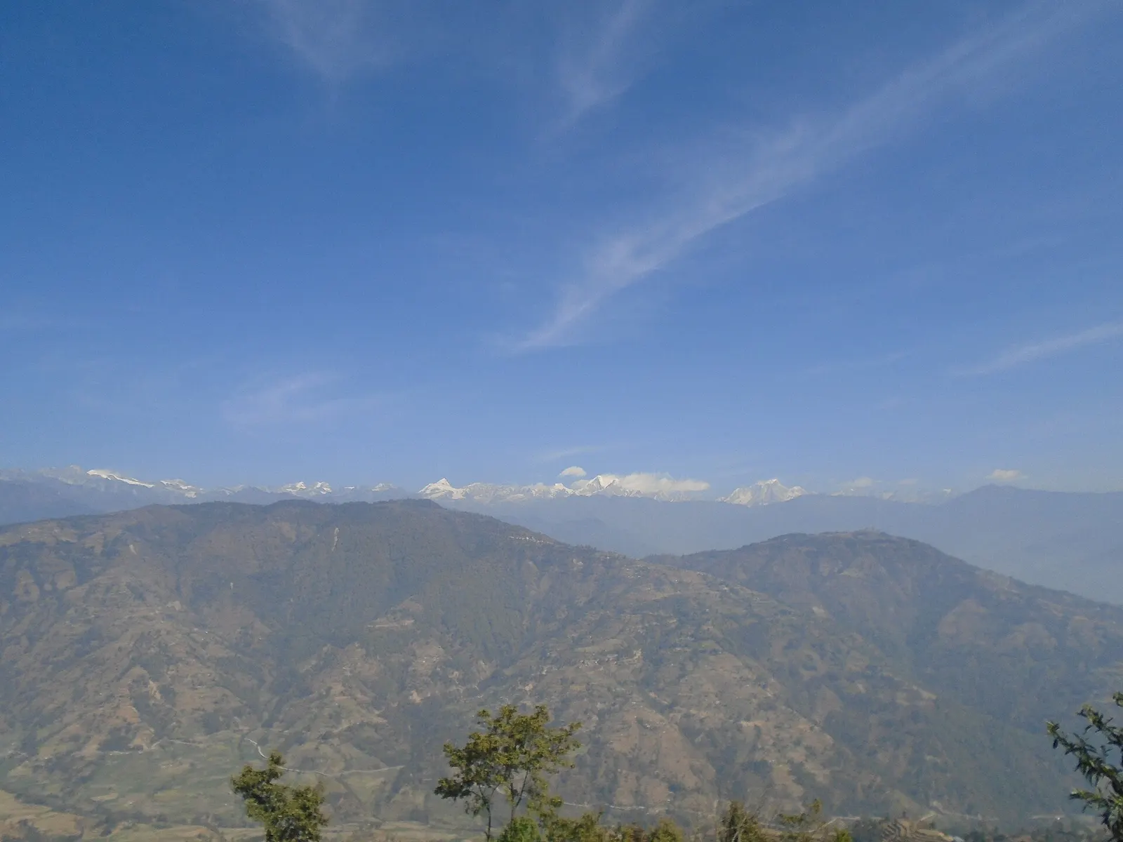
Helambu is the highland area of villages and monasteries in northern Sindhupalchok, about 70-80 km north-east of Kathmandu, between the Lauribina La and the Melamchi river valley. It is the southern part of the Langtang region and the homeland of the Hyolmo people, whose name is linked to the word Helambu. The area is known for its Buddhist gompas, carved stone chortens, sweet apples and forested ridges facing the Jugal and Langtang ranges.
The Helambu trek is one of the easiest ways to walk in the Himalayan foothills without long drives or high altitude. A common circuit starts at Sundarijal on the edge of the Kathmandu Valley and climbs through Shivapuri forest to Chisapani, then follows ridges via Kutumsang and Tharepati (about 3,650 m, the highest point) before dropping to Melamchigaon and Tarkeghyang. From there it ends by road or on foot at Sermathang and Melamchi Bazaar, which has its own page. The full loop takes about 5-8 days.
Helambu also connects north to Gosaikunda over the Lauribina La, so trekkers can make a longer traverse from the Langtang Valley through Gosaikunda to Helambu and back to Kathmandu on foot or by road.
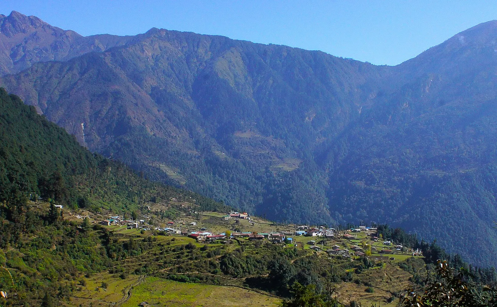
Trek stop · 2,215 m
A ridge-top lodge village above Kathmandu, the first night of the Helambu trek.
Trek stop · 2,470 m
A ridge village on the Helambu trek, a day below the high point at Tharepati.
Trek stop · 2,590 m
A Hyolmo village with a gompa below Tharepati on the Helambu trek.
Trek stop · 2,625 m
A Hyolmo village at the southern end of the Helambu trek, linked by road to Melamchi.
Trek stop · 2,600 m
The largest Hyolmo village in Helambu, with closely built stone houses and a gompa.
Trek stop · 3,650 m
A high ridge stop at about 3,650 m where the Helambu and Gosaikunda trails meet.
The Hyolmo (Yolmo) people follow Tibetan Buddhism, mainly the Nyingma tradition, and their villages are centred on gompas such as those of Tarkeghyang and Melamchigaon. Tradition holds that the area was blessed by Guru Padmasambhava as a hidden valley, and lamas from Tibet settled here centuries ago. Lhosar (New Year) and monastery festivals are the main celebrations, and many families combine farming, herding and work in Kathmandu or abroad.
Helambu was badly hit by the 2015 earthquake, which destroyed many houses and monasteries; much has been rebuilt, sometimes with new lodges on the trekking route. Roads now reach several villages, such as Tarkeghyang and Sermathang, which shortens access but means parts of the old trail run on or beside dirt roads.
Helambu circuit
Trek Sundarijal, Chisapani, Kutumsang, Tharepati, Melamchigaon, Tarkeghyang and Sermathang over about 5-8 days.
Monastery visits
Visit the village gompas at Tarkeghyang and Melamchigaon; ask permission before entering and make a small donation.
Ama Yangri viewpoint
Hike from Tarkeghyang to the Ama Yangri ridge top for a wide mountain view.
Forecast for 2,519 m. Conditions change fast in the mountains.
Weather data: MET Norway, licensed CC BY 4.0. A forecast, not a guarantee.
Mar-Apr, Oct-Dec
Teahouses and lodges in the main trekking villages and homestays in Hyolmo villages; facilities are simple.
No partner stays are listed here yet. List a property.
The trek can start at Sundarijal, 30-60 minutes from central Kathmandu, and finish by road from Melamchi Bazaar or higher villages such as Tarkeghyang or Sermathang.
Nearest hub: Kathmandu
Nearest hub: Kathmandu. Times are typical ranges, not schedules, and vary with roadworks, weather and the season.
By busfrom Kathmanduabout 0.5-1 hLocal buses
Buses run to Sundarijal from Boudhanath; the Helambu trek starts at the Sundarijal trailhead at about 1,390 m.
When to set off: Leave Kathmandu early so the first walking stage is done before the afternoon cloud.
By car or jeepfrom Kathmanduabout 3-6 h
The eastern approach drives to Melamchi Bazaar in about 3 to 4 hours, then continues by jeep on dirt roads to upper villages such as Tarkeghyang and Sermathang.
Road: Sealed as far as Melamchi Bazaar, then rough earth roads that climb to the Hyolmo villages; a jeep or 4WD is normally needed and the track is poor in the monsoon.
When to set off: Leave Kathmandu by 07:00 for the Melamchi side: the upper track is slow going.
By motorbikefrom Kathmanduabout 3-6 hExperienced riders only
Riders use the Melamchi side; the upper tracks are rough and better left alone in the monsoon.
Road: Sealed to Melamchi Bazaar, then steep earth tracks with loose surfaces.
On footfrom Kathmanduabout 4-5 hAbout 4-5 h from Sundarijal to Chisapani, then 4-7 h a day along the ridge
The classic trek walks in from Sundarijal and out to Melamchi Bazaar, 4 to 7 hours a day along the ridges.
When to set off: Walk out of Sundarijal in the morning; the climb to the ridge is steep and best done early.
Permit required
Starting from Sundarijal crosses Shivapuri Nagarjun National Park, which charges an entry ticket. The northern parts of Helambu, including Tharepati and the route to Gosaikunda, are in Langtang National Park and need its entry permit. Check whether a TIMS card is currently required.
Verify before travel: permit rules and fees change. Checked 2026-10-06 against Langtang National Park (Wikivoyage).
On the Helambu trek, Langtang, Gosaikunda and Helambu trek.
What this place is typically exposed to, and when. These are seasonal patterns, not a report on conditions now.
Landslidesmoderate in a typical yearJun-Sep
Steep forested hillsides on these ridges shed small slides and washed-out trail sections during monsoon rain; rocky trails stay slippery after rain or frost.
Floodingmoderate in a typical yearJun-Sep
The Melamchi river carries a documented monsoon flash-flood and debris-flow risk: in June and July 2021 long monsoon rain loosened material upstream, the river was dammed and the breach swept away homes, roads and bridges in the valley.
Othermoderate in a typical yearJun-Sep
From June to August the forest trails are slippery after rain, leeches are common and the mountains are usually hidden by cloud.
Snowmoderate in a typical yearJan-Mar
The upper part of the Helambu ridge, around Tharepati, takes snow in late winter and early spring, which can make the high traverse slow or impractical.
Coldmoderate in a typical yearDec-Feb
December to February nights are near or below freezing at these altitudes and lodges are lightly heated; bring a warm sleeping bag and down layers.
Altitudemoderate in a typical yearAll year
General information, not medical advice: above about 3,000 m altitude illness becomes a real risk. Gain sleeping height slowly, learn the symptoms of headache with nausea, breathlessness or unsteady walking, and go down if they get worse. See a doctor before travelling and carry insurance that covers helicopter evacuation. The Helambu ridge tops out at about 3,650 m at Tharepati, and the Lauribina La link to Gosaikunda is higher again.
Road blockagesmoderate in a typical yearJun-Sep
The jeep roads up from Melamchi Bazaar to the upper villages are earth tracks that soften and slide in monsoon rain, so the drive can be slow or interrupted.
Check current conditions before you travel
Roads, trails, passes and flights change with the weather and with roadworks, and nothing on this page describes conditions today. Before you set off, check the Department of Hydrology and Meteorology for weather and flood warnings, the Nepal Disaster Risk Reduction Portal for incidents, and the local authority, police or your licensed operator for road, trail and flight status.
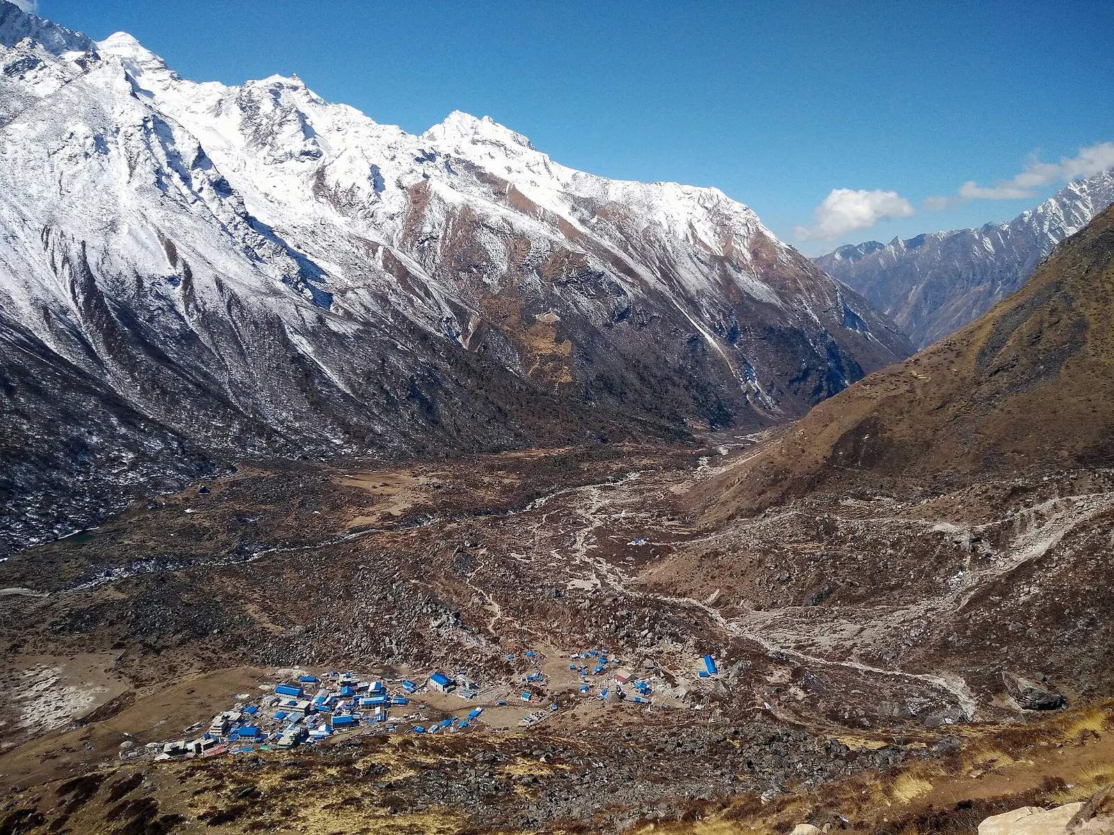
A road-accessed teahouse trek from Syabrubesi up the Langtang Khola to Kyanjin Gompa (about 3,870 m), with an optional climb to Tserko Ri for close views of Langtang Lirung. Check road access after the August 2026 floods.
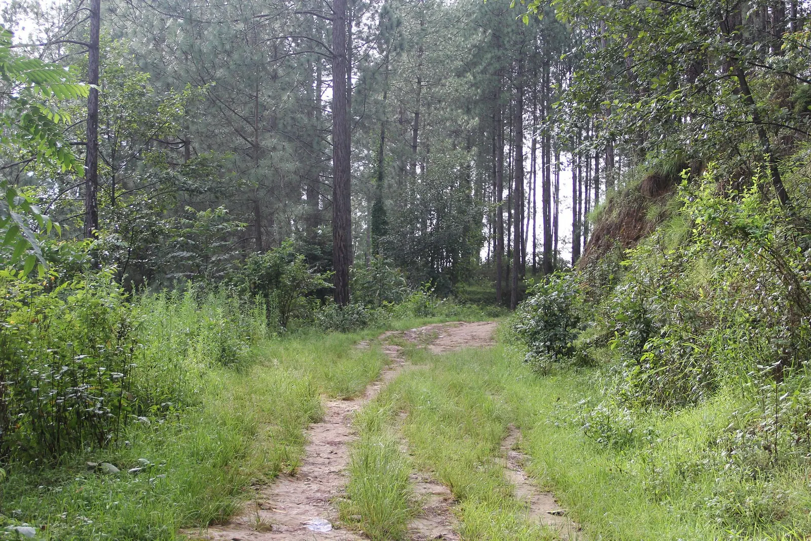
A short, low walk south-east of Kathmandu from Dhulikhel to the Buddhist pilgrimage site of Namo Buddha, on to the farming village of Balthali, and down to the old Newar town of Panauti. No permit needed.
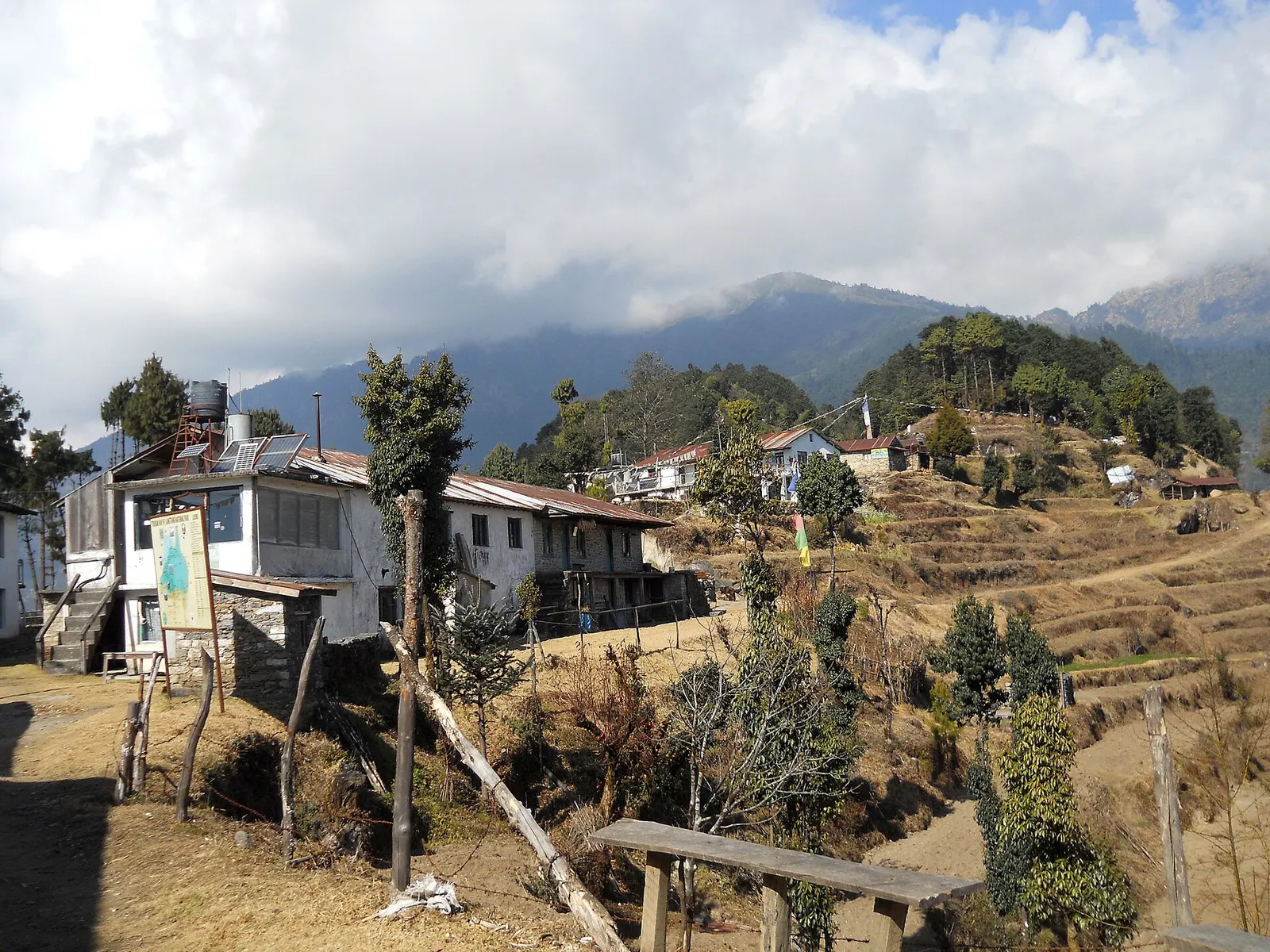
A short trek that starts on the edge of Kathmandu at Sundarijal and follows forested ridges to Tharepati (about 3,650 m), then visits the Hyolmo villages of Melamchi Gaon, Tarkeghyang and Sermathang before a drive back.
About 5-8 days depending on start and end points; it can begin at Sundarijal on the edge of Kathmandu.
The highest point is around Tharepati, about 3,650 m; most villages are between about 1,500 and 2,700 m.
Shivapuri Nagarjun National Park charges entry for the Sundarijal section, and Langtang National Park's permit covers the northern parts. Check the current rules.
Yes. A traverse from the Langtang Valley via Gosaikunda and the Lauribina La into Helambu is a popular 10-15 day route.
Valley or region
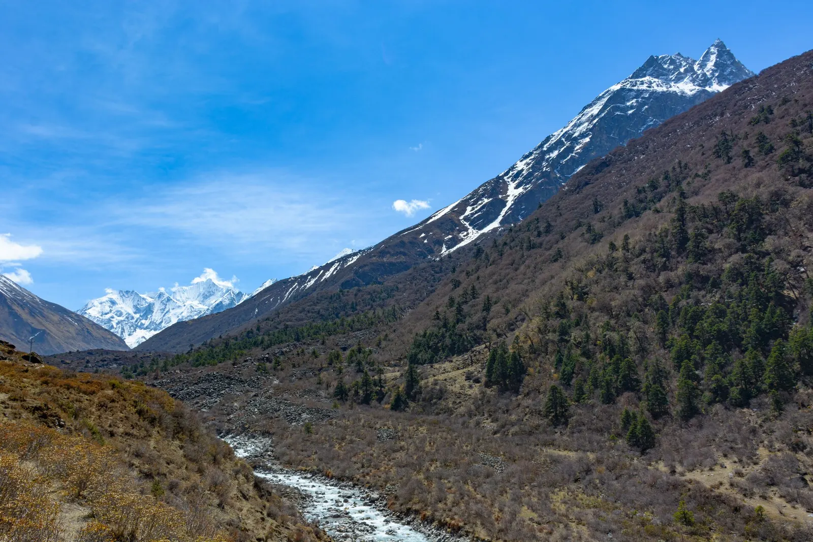
A glacier valley north of Kathmandu, walked from Syabrubesi through forest and yak pastures to Kyanjin Gompa under Langtang Lirung.
Town or village · 845 m
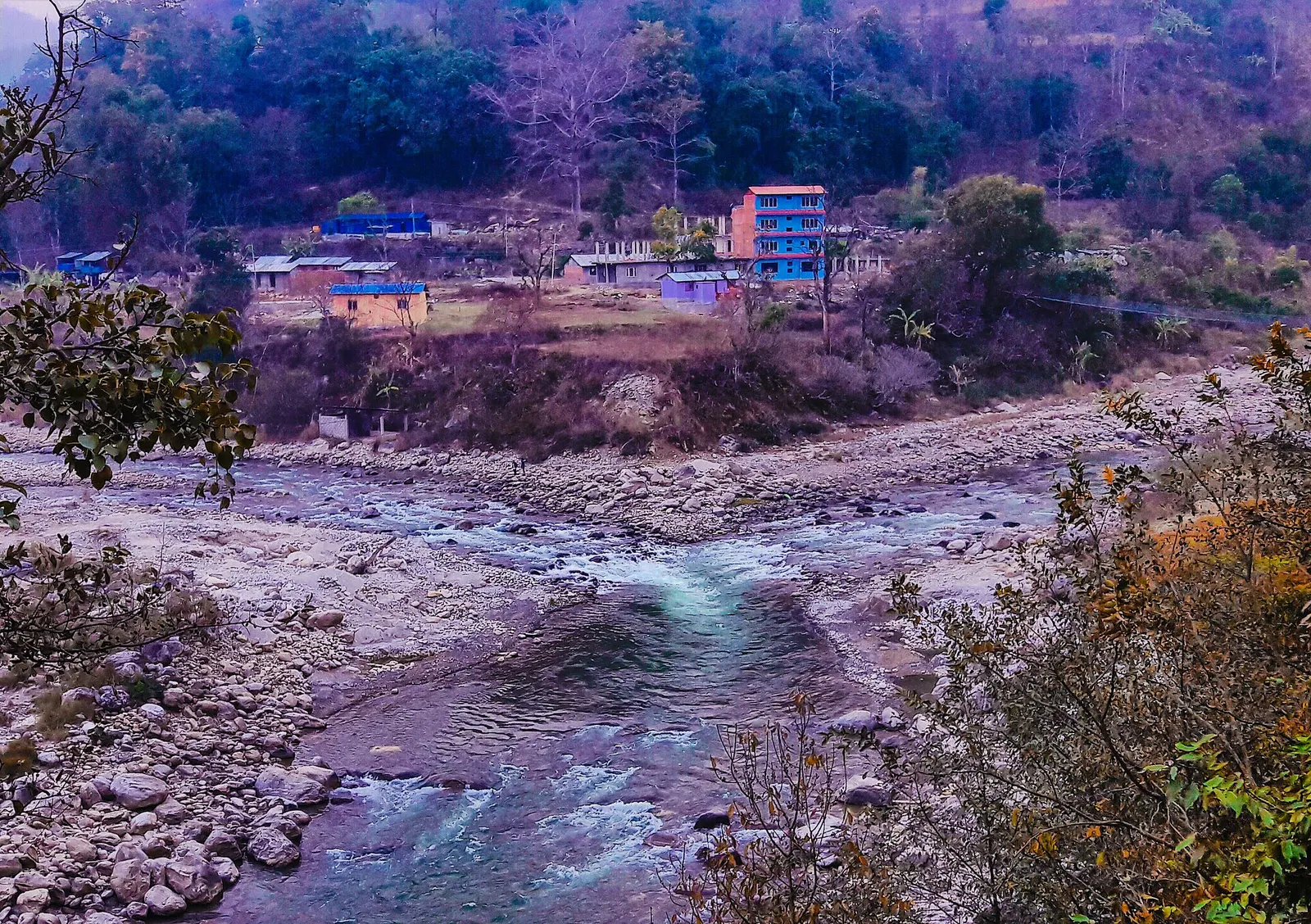
A river-junction market town in Sindhupalchok and the road gateway to Helambu, rebuilt after the 2021 floods.
Lake · 4,380 m
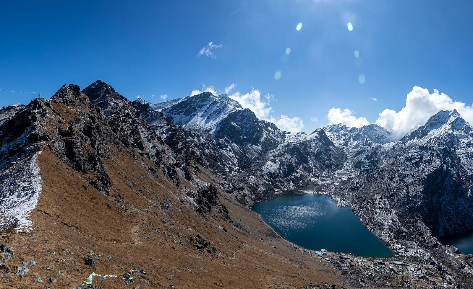
A sacred alpine lake at about 4,380 m in Langtang National Park, a Hindu and Buddhist pilgrimage site and a high point between Langtang and Helambu.
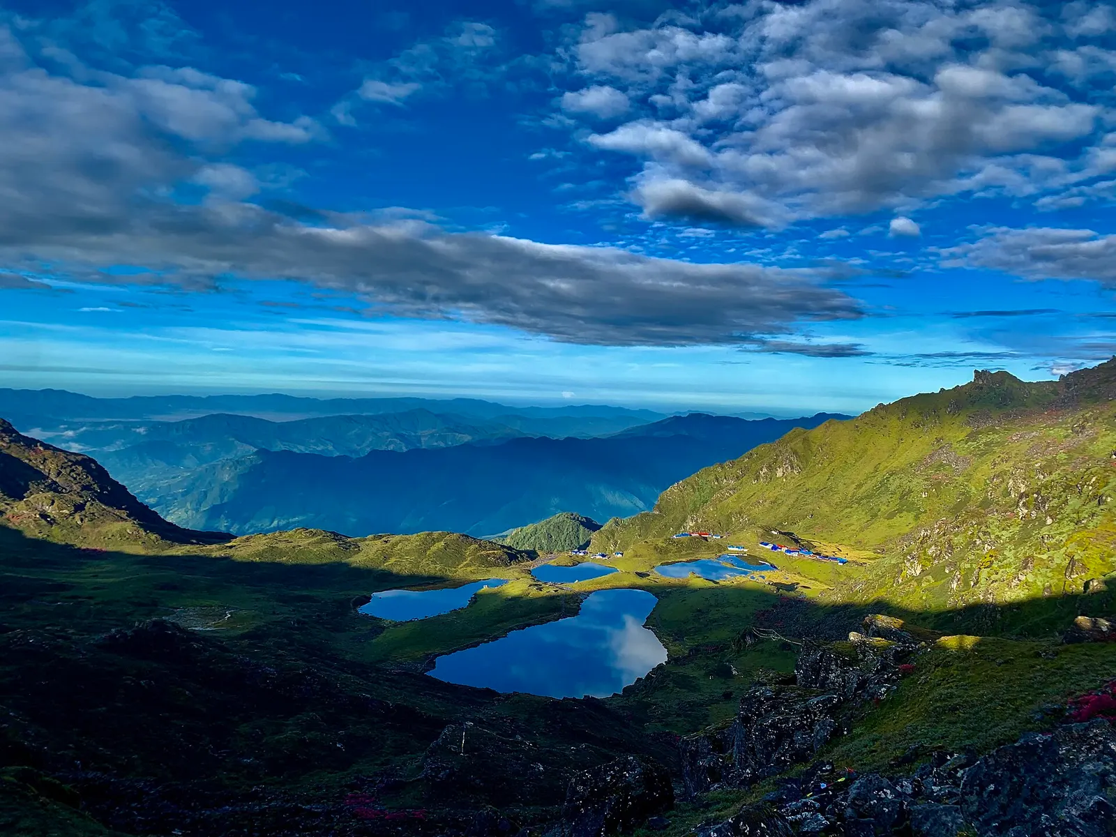
Lake · 4,100 m
Five holy lakes at about 4,100 m below the Jugal Himal in Sindhupalchok, a pilgrimage at Janai Purnima and a quiet trek.
Town or village · 2,030 m
The district headquarters of Rasuwa and the road-side start of the Gosaikunda trail.
Trek stop · 3,330 m
A forest settlement with a small monastery on the climb to the Gosaikunda lakes.
Trek stop · 1,460 m
The road-head village in Rasuwa where the Langtang Valley trek begins.
Trek stop · 2,210 m
A Tamang ridge village that links the Langtang Valley with the Gosaikunda trail.
Valley or region
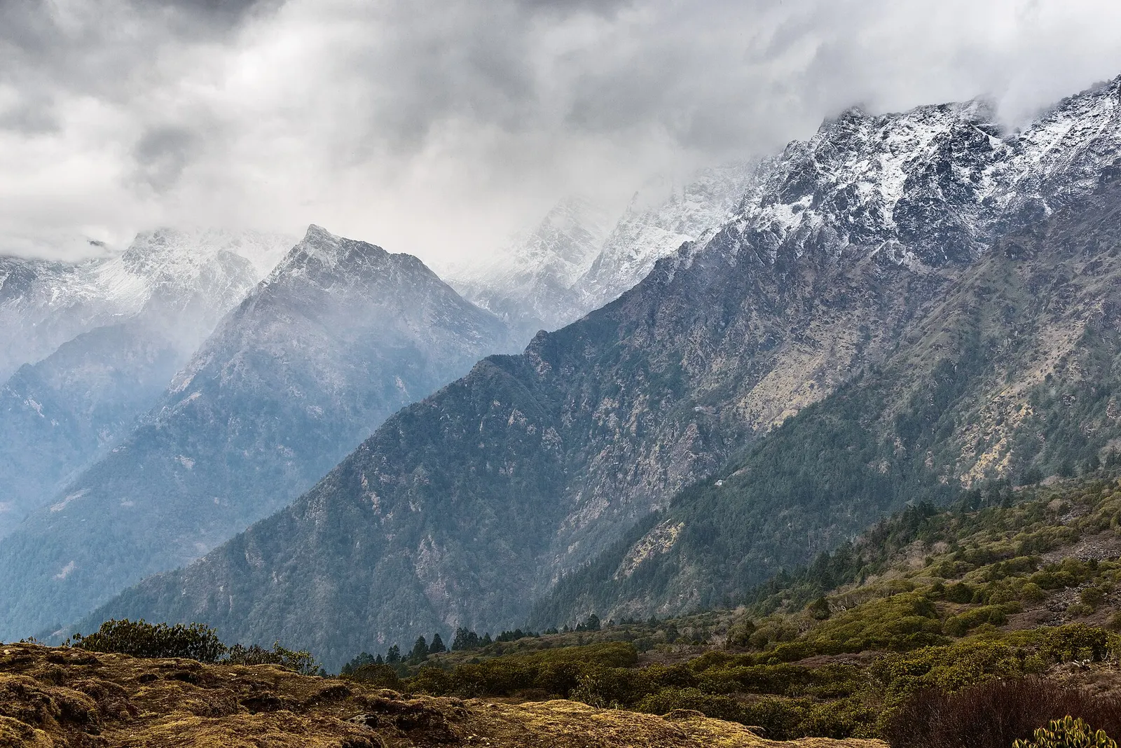
The trekking region closest to Kathmandu: glacier valleys, holy lakes and Hyolmo villages across Rasuwa, Nuwakot and Sindhupalchok.
National park or conservation area · 2,732 m
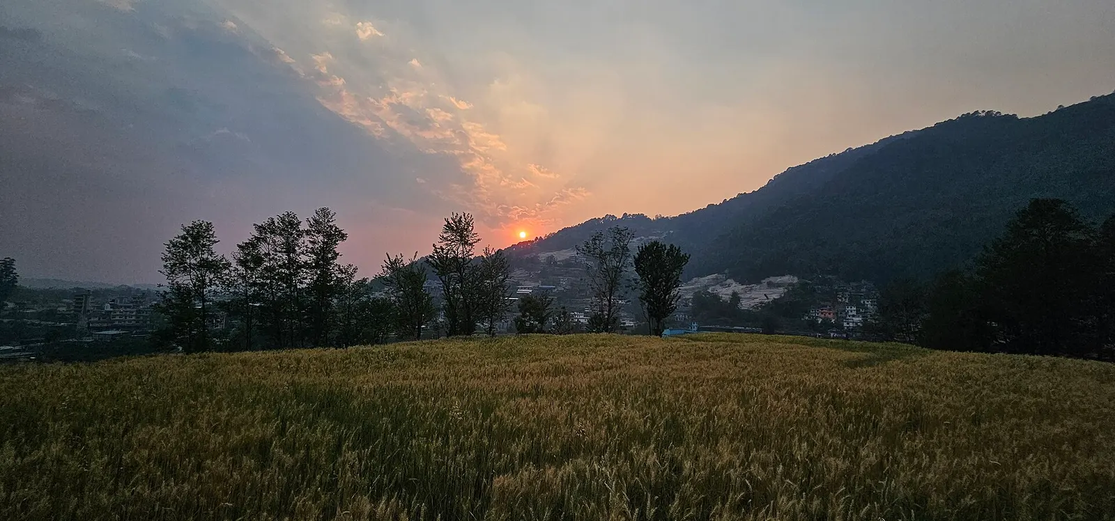
Forested hills on Kathmandu's northern rim, protecting the valley's water sources, with day hikes to Shivapuri Peak, Nagi Gumba and Jamacho.