Skip to content

Kathmandu Valley, Balthali

Balthali Village Trek

A short, low walk south-east of Kathmandu from Dhulikhel to the Buddhist pilgrimage site of Namo Buddha, on to the farming village of Balthali, and down to the old Newar town of Panauti. No permit needed.

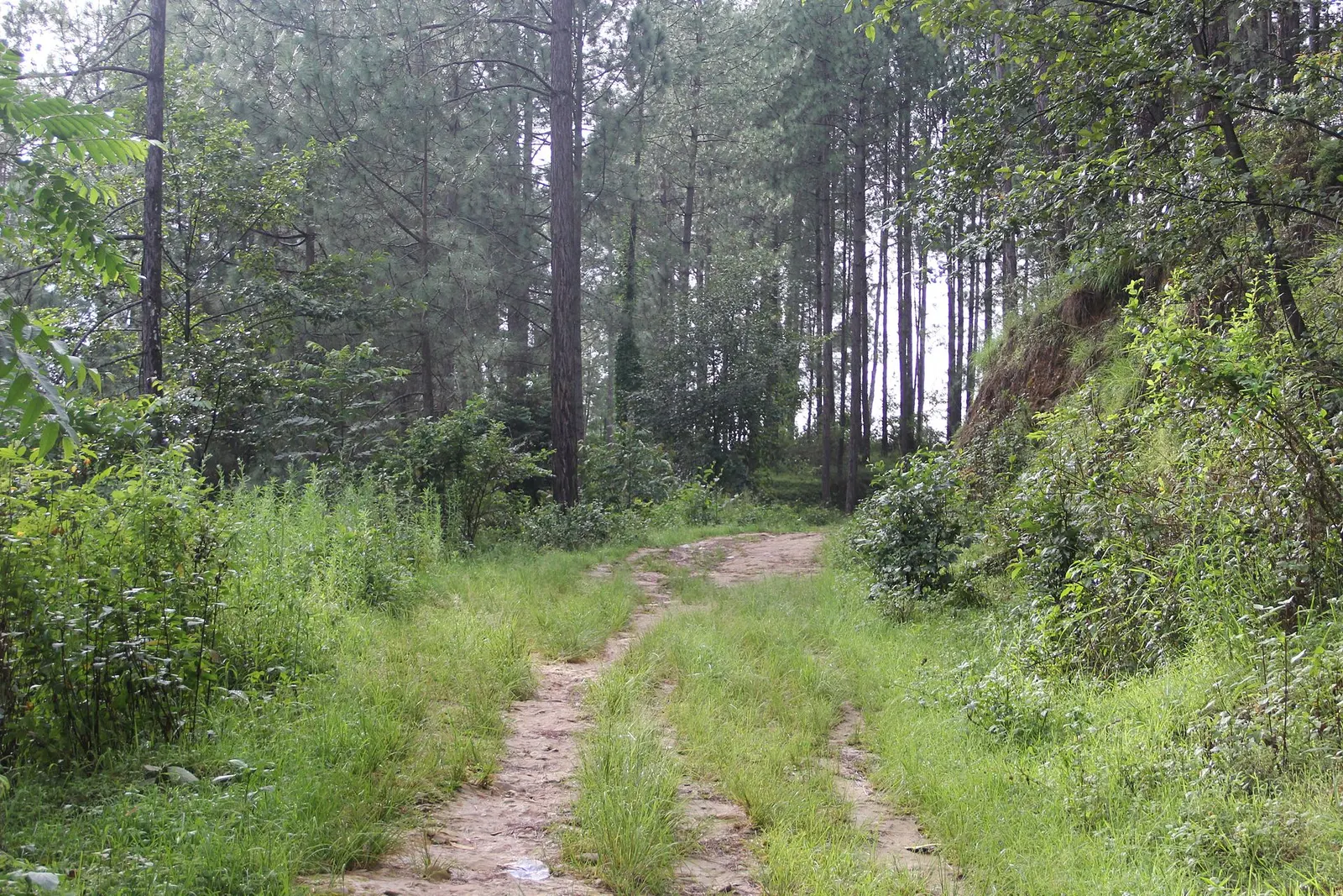
A grassy dirt track leads through tall pine forest on the way to Balthali village.
Photo: सरोज कुमार ढकाल (CC BY-SA 4.0)
Days
2-3
Max altitude
1,750 m
Distance
about 27 km
Difficulty
Easy
Best months
Feb-Apr, Oct-Dec
Start / end
Dhulikhel / Panauti
Sleep in
Homestays, Guesthouses, Hotels
Permits
1 required

Overview

This is a gentle village trek on the hills just beyond the Kathmandu Valley rim, never higher than about 1,750 m. It links the hill town of Dhulikhel, the stupa and monastery at Namo Buddha, the ridge village of Balthali and the old Newar town of Panauti, using footpaths, farm tracks and some rural roads.

Namo Buddha is one of the main Buddhist pilgrimage sites near Kathmandu, where the Buddha in a former life as a prince is said to have offered his body to a starving tigress. Balthali sits on a ridge above the Roshi Khola, with terraced rice and millet fields, homestays and, on clear days, views north to the Himalaya from Langtang to the Everest region.

It suits families, people short of time and anyone who wants rural Nepal without altitude. It can be walked in two days or stretched to three with nights in Namo Buddha and Balthali.

Namo Buddha stupa and the hilltop monasteryTerraced fields and homestays at BalthaliHimalayan views from Dhulikhel and the ridges on clear daysOld Newar temples and courtyards of PanautiNo permits and no altitude concerns

Why it is rated easy

  • Walks of 2 to 5 hours a day on village paths and farm tracks.
  • Low altitude, never above about 1,750 m, so altitude sickness is not a concern.
  • Some steep but short climbs and descents between ridges and valleys.

Elevation profile

About altitude

Sleeping altitude for each night. The dashed lines at 3,000 m and 4,000 m mark heights where altitude illness becomes more common. General information only, not medical advice.

Hover, tap or use the arrow keys to see each day. Shaded columns are acclimatisation days.

Show the profile as a table
Sleeping altitude by day
DayOvernightSleeping altitudeHigh point
1Namo Buddha1,750 m-
2Balthali1,730 m-
3Panauti1,442 m-

Day-by-day itinerary

  1. Day 1Dhulikhel to Namo Buddhasleep 1,750 m3-5 habout 12 km

    Drive about 1-1.5 hours from Kathmandu to Dhulikhel, then follow the signed trail past the Kali temple viewpoint and through villages and pine forest to Namo Buddha. Visit the stupa and the hilltop monastery above it in the late afternoon.

    Guesthouse or monastery guest rooms at Namo BuddhaAbout Namo Buddha

  2. Day 2Namo Buddha to Balthalisleep 1,730 m3-4 habout 8 km

    Village paths and farm tracks lead south-west across terraced hillsides to the Balthali ridge. Afternoon walks around the village and sunset views over the fields.

    Homestay or guesthouse in BalthaliAbout Balthali

  3. Day 3Balthali to Panautisleep 1,442 m2-3 habout 7 km

    Down through farmland to the Roshi Khola near Khopasi and on to Panauti, an old Newar town at a river confluence with temples and courtyards. From Panauti it is about 1.5-2 hours by road back to Kathmandu.

    Guesthouse in Panauti, or return to KathmanduAbout Panauti

Stages, times and altitudes vary by operator, weather and pace. Partner agencies confirm the exact plan.

Route map

Trail geometry from OpenStreetMap.

Mount Everest 8,848.86Kangchenjunga 8,586Dhaulagiri I 8,167Manaslu 8,163Annapurna I 8,091Namo BuddhaBalthaliPanauti
Boundary: Government of Nepal, Survey Department (2020). Peak data: Wikidata.

Permits

  • No trekking permitOther

    The route runs through villages, farmland and community forest outside national parks and conservation areas, so no park permit or TIMS card is needed. Panauti's old town may collect a visitor fee; check on arrival.

Verify before travel: permit rules and fees change. Checked 2026-10-06 against Nepal Tourism Board: TIMS card and trekking guide rule. Guide rule: Nepal Tourism Board: TIMS card and trekking guide rule.

Nepal trekking permits explained

When to go

Best months: Feb-Apr, Oct-Dec

Autumn (Sep-Nov)
October and November are clear and mild, with the clearest Himalayan views from the ridges and harvest work in the fields.
Winter (Dec-Feb)
December to February is dry and sunny by day with cold mornings; views are often clear and this is a good season for the walk.
Spring (Mar-May)
March and April are warm, with haze building and mountain views less reliable; May can be hot.
Monsoon (Jun-Aug)
June to August is green with rice planting, but paths are muddy and slippery and views are rare.

Getting there and back

Getting to Namo Buddha, by mode

Nearest hub: Dhulikhel. Times are typical ranges, not schedules, and vary with roadworks, weather and the season.

  • By busfrom PanautiLocal buses

    Local buses run from the Banepa and Panauti side with a change, but services are infrequent and no reliable timetable was found, so the duration is left open.

    Dhulikhel, Wikivoyage

  • By car or jeepfrom Dhulikhelabout 0.5-1 h

    From Kathmandu allow 1.5 to 2.5 hours by car or jeep via Dhulikhel; the last stretch climbs a narrow rural road to the monastery.

    Road: Sealed to Dhulikhel, then a narrow and partly rough rural road; a jeep is the safer choice in the monsoon.

    Namo Buddha, Wikipedia

  • By motorbikefrom Dhulikhelabout 0.5-1 hModerate riding

    Short steep climb on rough rural road, slippery when wet.

    Road: Narrow rural road, part sealed and part rough stone and earth.

    Nepal, Wikivoyage

  • On footfrom Dhulikhelabout 3-5 h3-5 h from Dhulikhel, about 10 to 14 km, with a steady climb to the ridge

    The signed trail leaves Dhulikhel past the Kali temple and crosses farmland and pine forest to the ridge.

    When to set off: leave Dhulikhel by 08:00 to reach the stupa before midday

    Dhulikhel, Wikivoyage

Where people go next

  • Dhulikhelon foot, about 3-5 hBack along the signed trail.
  • Panaution foot, about 2.5-3.5 hDownhill to the confluence town.
  • Balthalion foot, about 3-4 hVillage trails south to the farm ridge.

Seasonal risks

Typical seasonal exposure along the route, merged from the stops that have a place page. Seasonal patterns only, never conditions today.

  • Landslidesmoderate in a typical yearJun-Sep

    The rural roads up from Panauti and Khopasi are earth and stone and slip or wash out in the June to September rains, so the last stretch is sometimes only walkable.

    Recorded for Balthali, Namo Buddha, Panauti. Nepal, Wikivoyage

  • Road blockagesmoderate in a typical yearJun-Sep

    Monsoon rain typically leaves the Balthali access roads rutted and impassable to cars, and the Araniko feeder road is slow.

    Recorded for Balthali, Namo Buddha, Panauti. Araniko Highway, Wikipedia

  • Othermoderate in a typical yearJun-Sep, Dec-Apr

    Trails through the terraces are slippery and leech-ridden from June to September, and the ridge views are usually lost in cloud.

    Recorded for Balthali, Namo Buddha, Panauti. Dhulikhel, Wikivoyage

  • Floodingmoderate in a typical yearJun-Sep

    The old town stands at the meeting of the Roshi and Punyamata, which run hard from June to September; the record 2024 monsoon flooded rivers across Bagmati province.

    Recorded for Panauti. 2024 Nepal floods, Wikipedia

  • Coldlow in a typical yearDec-Feb

    At about 1,730 m December to February nights are cold in simple village houses with no heating.

    Recorded for Balthali, Namo Buddha, Panauti. Balthali village photo with location, Wikimedia Commons

Check current conditions before you travel

Nothing here describes the Balthali Village Trek today. Trail, road, pass and flight conditions change with the weather and with roadworks. Check the Department of Hydrology and Meteorology, the Nepal Disaster Risk Reduction Portal and the local authority or your licensed operator before and during the trek.

Weather on the route

Forecasts for start (Namo Buddha, 1,750 m), end (Panauti, 1,442 m). Mountain weather changes fast; check again on the day.

Weather in Namo Buddha (start)

Forecast for 1,750 m. Conditions change fast in the mountains.

Weather data: MET Norway, licensed CC BY 4.0. A forecast, not a guarantee.

Weather in Panauti (end)

Forecast for 1,442 m. Conditions change fast in the mountains.

Weather data: MET Norway, licensed CC BY 4.0. A forecast, not a guarantee.

Safety

Paths and farm tracks become muddy and slippery in the monsoon; wear shoes with good grip.
Parts of the route use rural roads with occasional traffic and dust; walk on the side facing oncoming vehicles.
Trails fork often between villages; carry an offline map or walk with a local guide.
Sun is strong on the open ridges; carry water, a hat and sun cream.

What to pack

  • Comfortable walking shoes or light boots
  • Daypack with water bottle
  • Sun hat and sun cream
  • Light rain jacket
  • Warm layer for early mornings in winter
  • Modest clothing and socks for visiting monasteries
Full trekking gear list

Side trips and alternatives

  • Panauti old town

    Spend a half day among the temples and courtyards at the river confluence before heading back to Kathmandu.

  • Dhulikhel viewpoint

    Start early with sunrise at the Kali temple hill above Dhulikhel for Himalayan views.

  • Nagarkot

    Begin a day earlier at Nagarkot and walk down to Dhulikhel along the valley rim.

Balthali Village questions

How long is the Balthali village trek?

Two to three days. Dhulikhel to Namo Buddha takes about 3-5 hours, Namo Buddha to Balthali about 3-4 hours, and Balthali to Panauti about 2-3 hours.

Do I need a permit or guide for Balthali?

No permit is needed, and the route is outside the areas covered by the 2023 guide rule. A local guide is still useful for route-finding.

How high is the Balthali trek?

The highest point is Namo Buddha at about 1,750 m, so altitude is not a concern.

When is the best time for the Balthali trek?

October to December and February to April are best, with clear views in autumn and winter. The monsoon makes paths muddy.

How do I get to the start from Kathmandu?

Dhulikhel is about 30-35 km east of Kathmandu, roughly 1-1.5 hours by car or longer by bus.

Similar treks

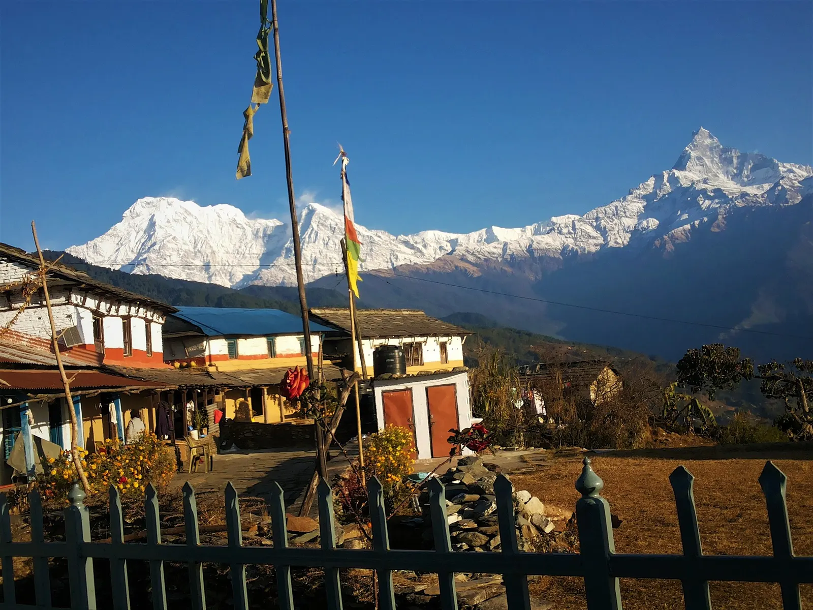
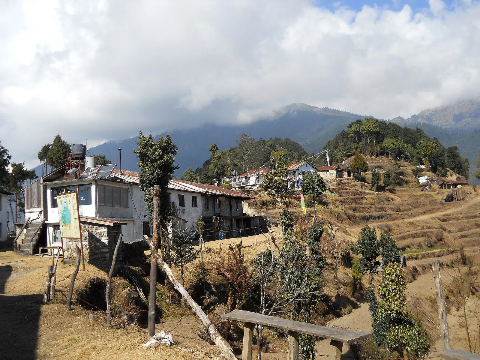
Houses and lodges of Kutumsang on a terraced ridge with pine trees and forested hills behind.

A short trek that starts on the edge of Kathmandu at Sundarijal and follows forested ridges to Tharepati (about 3,650 m), then visits the Hyolmo villages of Melamchi Gaon, Tarkeghyang and Sermathang before a drive back.

Days
7 days
Maximum altitude
3,650 m
Difficulty
Moderate
Lodges and prayer flags at Australian Camp with Annapurna South and Machhapuchhre behind.

A one- or two-day walk from Kande near Pokhara to Australian Camp, a grassy viewpoint at about 2,060 m facing the Annapurnas and Machhapuchhre, returning via Dhampus and Phedi.

Days
2 days
Maximum altitude
2,060 m
Difficulty
Easy
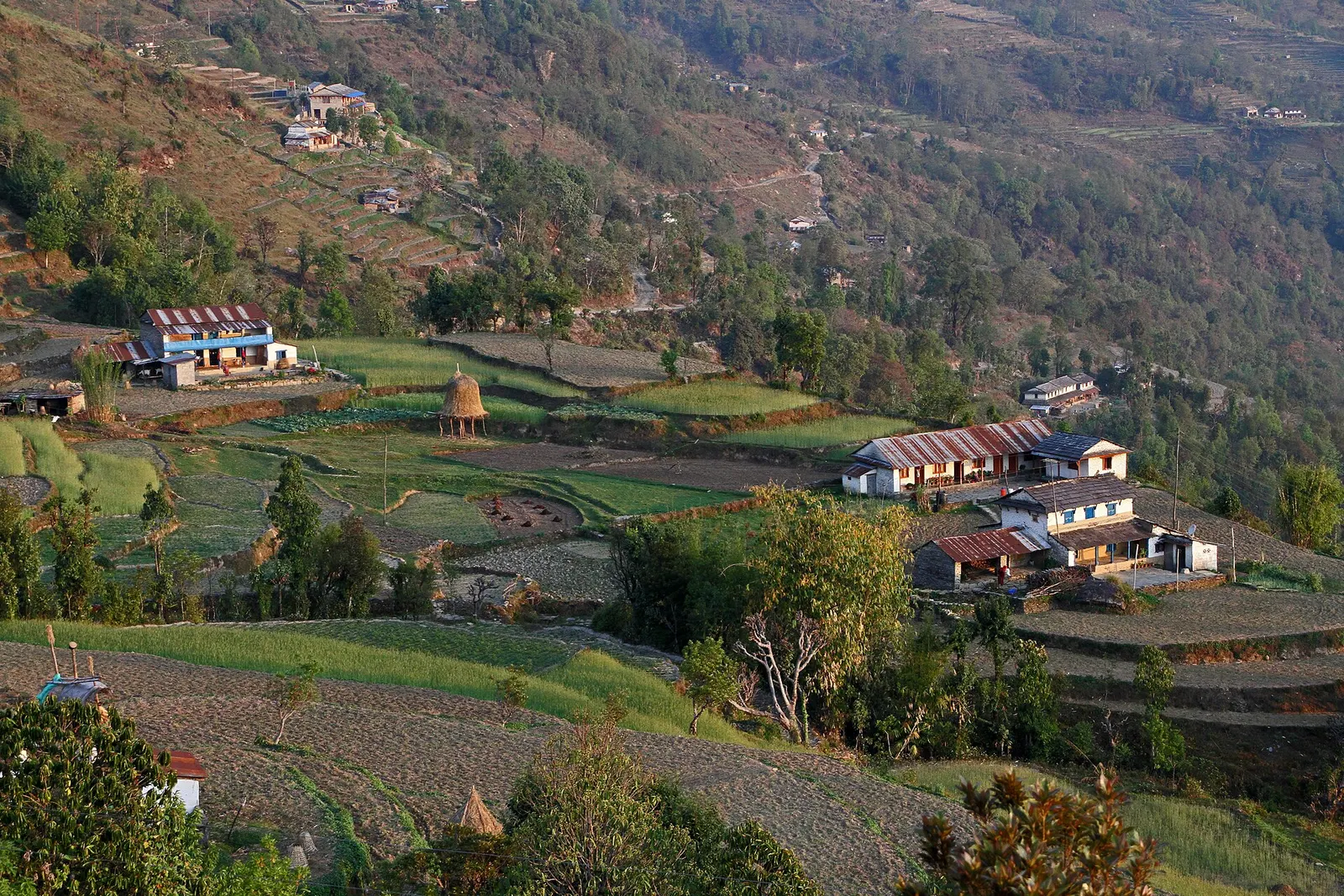
Farmhouses and terraced fields spread across the hillside at Dhampus.

A short overnight walk from Phedi near Pokhara to the Gurung village of Dhampus (about 1,650 m), with homestays and sunrise views of Machhapuchhre and the Annapurnas.

Days
2 days
Maximum altitude
1,650 m
Difficulty
Easy
Editorial draft: altitudes, permits and rules are being checked against the sources below. Last checked 2026-10-06. Sources: Dhulikhel and Namo Buddha, Wikivoyage, Nepal Tourism Board: TIMS card and trekking guide rule

Balthali Village · 3 days