

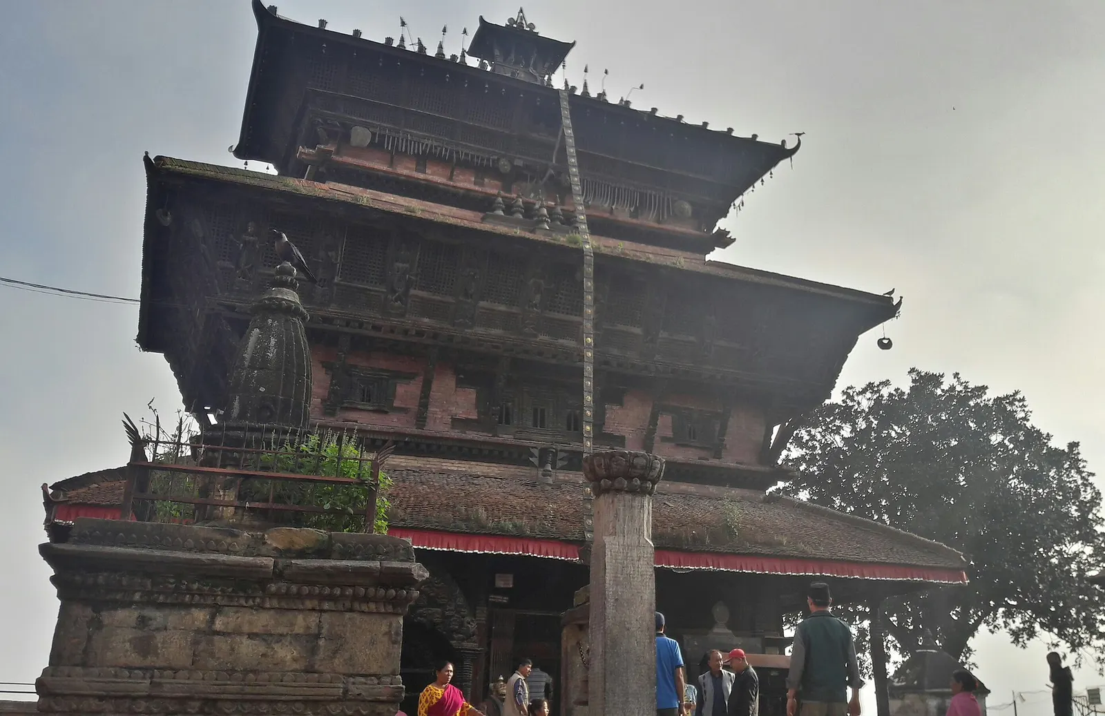
Town or village · 1,400 m
Kirtipur
An old Newar hill town on Kathmandu's south-western edge, with temples, valley views and a dramatic history of resistance.
Kathmanduशिवपुरी नागार्जुन राष्ट्रिय निकुञ्ज
Forested hills on Kathmandu's northern rim, protecting the valley's water sources, with day hikes to Shivapuri Peak, Nagi Gumba and Jamacho.
This is the national park on the northern rim of the Kathmandu Valley; it is not Shivapuri Rural Municipality in Nuwakot or Shivpuri in India.
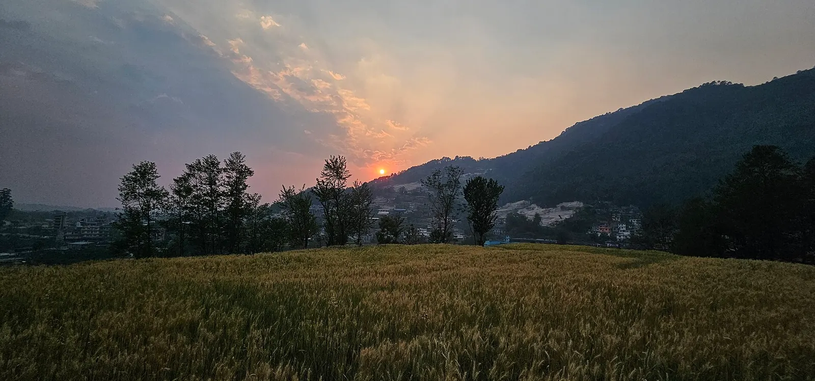
Shivapuri Nagarjun National Park covers about 159 square km of forested hills along the northern and north-western rim of the Kathmandu Valley, spreading across Kathmandu, Nuwakot and Sindhupalchok districts with an extension towards Dhading. It is the closest national park to the capital, its southern gates only 11-15 km from central Kathmandu, and it protects the springs and streams that feed the Bagmati and supply much of the valley's drinking water.
The park is a favourite for day hikes. From the Budhanilkantha gate, trails climb through forest to Nagi Gumba, a Buddhist nunnery with valley views, and on to Baghdwar, the source of the Bagmati river, and Shivapuri Peak at 2,732 m, a long day up and back. From Sundarijal in the east, the trail to Chisapani crosses the park and is the first stage of treks to Helambu and Langtang. In the west, the Nagarjun section rises to Jamacho, a hilltop stupa at about 2,100 m with views of the Himalaya, reached by trail or a forest road.
Wildlife includes leopards, Himalayan black bears, barking deer, wild boar, monkeys and pangolins, though most are shy. The park is especially rich in birds, with more than 300 species recorded, and is one of the best birding spots around Kathmandu, along with butterflies and orchids.
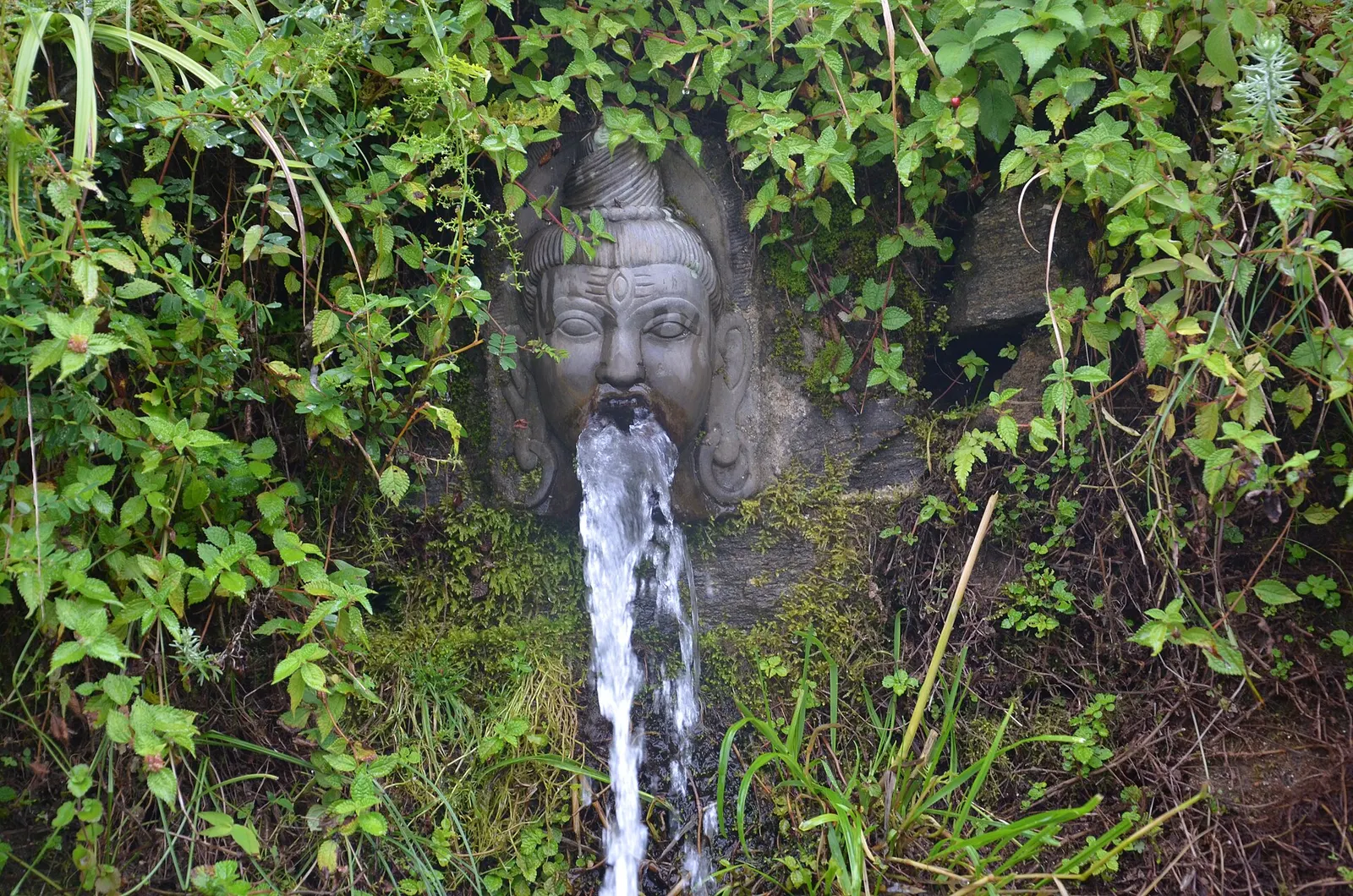
The area was protected as a watershed and wildlife reserve in 1976 and gazetted as Shivapuri National Park in 2002, Nepal's ninth national park. In 2009 the Nagarjun forest reserve to the west was added and the park took its present name. It is managed by the Department of National Parks and Wildlife Conservation, with an army presence at the gates.
Shivapuri has long been a place of retreat. Shiva is said in Hindu tradition to have meditated on the peak, and hermits and yogis lived in its forests; the ashram of the well-known ascetic Shivapuri Baba was on its slopes. The park contains Buddhist and Hindu sites, including Nagi Gumba nunnery, the Baghdwar shrine at the Bagmati source, and the Jamacho stupa on Nagarjun, a hill associated with the Buddhist philosopher Nagarjuna.
Hike to Nagi Gumba
Climb from the Budhanilkantha gate to the nunnery in about 2-3 hours for valley views; continue towards the peak if fit.
Summit Shivapuri Peak
A long day hike of roughly 6-8 hours return from Budhanilkantha, with about 1,300 m of ascent.
Walk up to Jamacho
From the Phulbari gate on the Nagarjun side, hike to the hilltop stupa in about 3-4 hours.
Birdwatch
Walk forest trails at dawn in spring or autumn with binoculars.
Start a trek at Sundarijal
Hike through the park to Chisapani, the first overnight stop on the route to Helambu or Nagarkot.
Forecast for 2,732 m. Conditions change fast in the mountains.
Weather data: MET Norway, licensed CC BY 4.0. A forecast, not a guarantee.
Feb-Apr, Oct-Dec
Camping with park permission, and simple accommodation at Nagi Gumba by arrangement; most visitors come on day hikes. Chisapani, just outside the park, has lodges.
No partner stays are listed here yet. List a property.
The main gates are at Budhanilkantha and Sundarijal on the north of the valley, and at Phulbari for the Nagarjun section.
Nearest hub: Kathmandu
Nearest hub: Kathmandu. Times are typical ranges, not schedules, and vary with roadworks, weather and the season.
By busfrom Kathmanduabout 0.75-1.25 hLocal buses
Local buses run to Budhanilkantha for the main gate and to Sundarijal for the Chisapani trail; both are about 45 to 75 minutes.
When to set off: start early: the park gates keep daylight hours and the Chisapani walk is a long day
By car or jeepfrom Kathmanduabout 0.7-1.25 h
Taxis reach the Budhanilkantha gate, about 11 to 15 km, Sundarijal, about 15 km, and the Phulbari gate for the Nagarjun section, about 5 km. Entry is paid at the gate.
Road: Sealed to all three gates; the tracks inside the park are rough and a jeep is normally needed beyond the gate.
By motorbikefrom Kathmanduabout 0.6-1.1 hModerate riding
Easy sealed run to the gates; the forest tracks inside are rough and partly closed to vehicles.
Road: Sealed approach, then rough stone and earth tracks inside the park.
On footfrom Sundarijalabout 5-7 h5-7 h from Sundarijal to Chisapani, roughly 900 m of ascent
The classic valley-rim stage climbs from Sundarijal through the park forest to Chisapani on the northern rim.
When to set off: leave Sundarijal by 08:00 to reach Chisapani in daylight
Entry fee
An entry fee is charged at the park gates, with separate rates for Nepali, SAARC and other foreign visitors. Additional fees may apply for vehicles, mountain bikes or camping.
Verify before travel: permit rules and fees change. Checked 2026-10-06 against Shivapuri Nagarjun National Park, Nepal Tourism Board.
What this place is typically exposed to, and when. These are seasonal patterns, not a report on conditions now.
Landslidesmoderate in a typical yearJun-Sep
The park's forested slopes and the gate roads at Budhanilkantha and Sundarijal are landslide-prone in the June to September rains, when sections of track wash out.
Road blockagesmoderate in a typical yearJun-Sep
Monsoon rain typically leaves the internal park tracks and the Sundarijal approach rutted and slow, so a jeep is the usual choice in those months.
Othermoderate in a typical yearJun-Sep
Forest trails are slippery and leech-ridden from June to September, with cloud sitting on the ridge for days at a time.
Coldmoderate in a typical yearDec-Feb
The summit area reaches 2,732 m and December to February mornings are below freezing on the ridge, with frost in the forest clearings.
Snowlow in a typical yearDec-Feb
Light snow falls on Shivapuri peak in some winters and can linger on the shaded upper trails.
Check current conditions before you travel
Roads, trails, passes and flights change with the weather and with roadworks, and nothing on this page describes conditions today. Before you set off, check the Department of Hydrology and Meteorology for weather and flood warnings, the Nepal Disaster Risk Reduction Portal for incidents, and the local authority, police or your licensed operator for road, trail and flight status.
Take a taxi or bus to the Budhanilkantha gate, about 11-15 km and 40-60 minutes, or to Sundarijal or Phulbari for other trails.
You pay a national park entry fee at the gate. Check the current amount on arrival, as sources differ.
It is a long day hike of roughly 6-8 hours return from Budhanilkantha with about 1,300 m of ascent through forest.
The peak is 2,732 m, which is generally below the height where altitude sickness is a common problem, but the climb is steep and tiring.
Town or village · 1,400 m
An old Newar hill town on Kathmandu's south-western edge, with temples, valley views and a dramatic history of resistance.
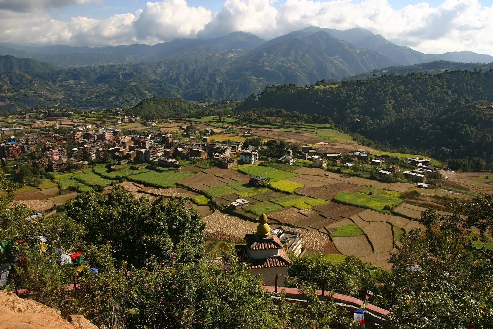
Town or village · 1,570 m
A small Newar town on the southern rim of the Kathmandu Valley, sacred to Vajrayana Buddhists for Guru Rinpoche's meditation caves.
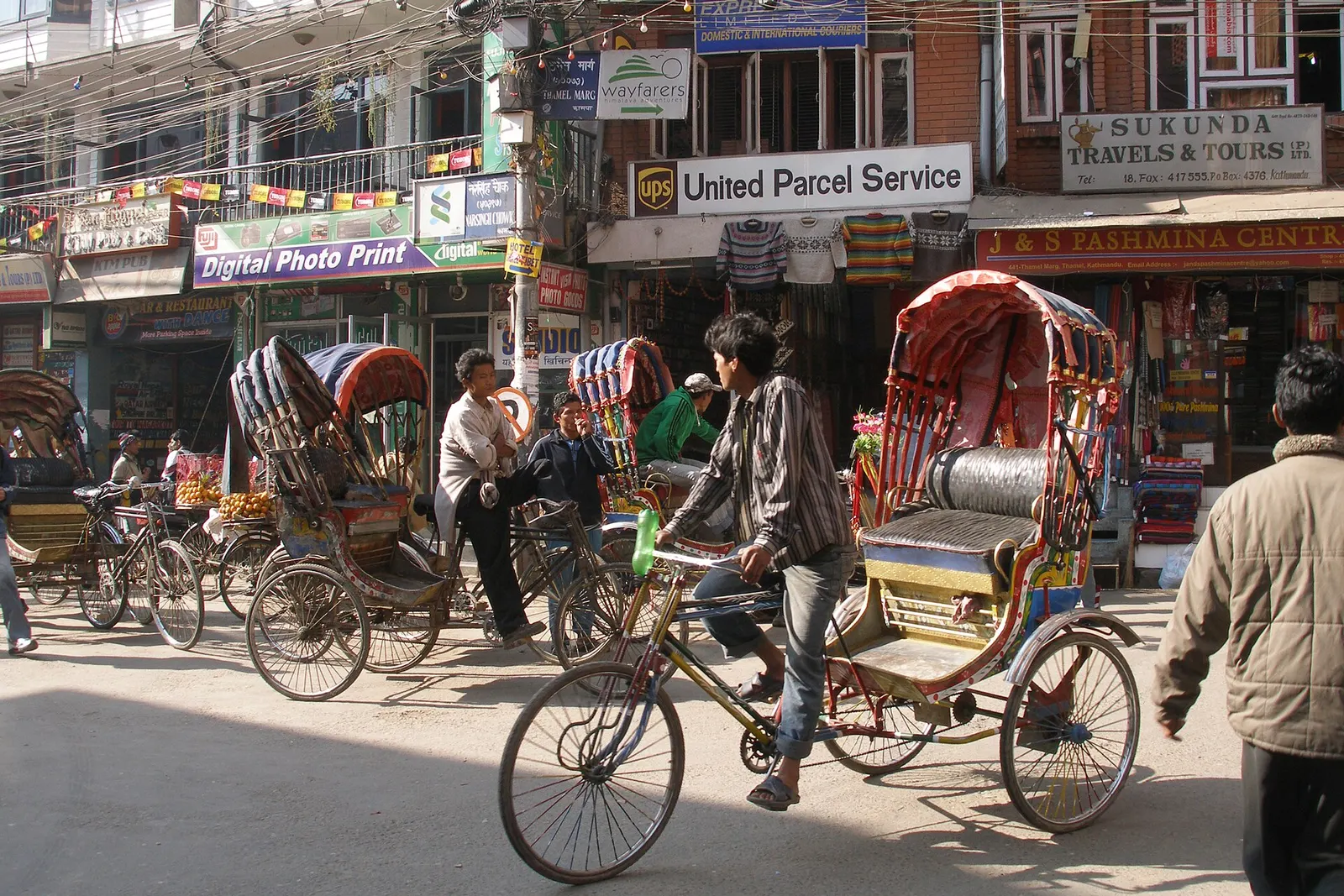
Town or village · 1,320 m
Kathmandu's traveller quarter of narrow lanes, guesthouses, trekking shops and cafes, a short walk north of the old city.
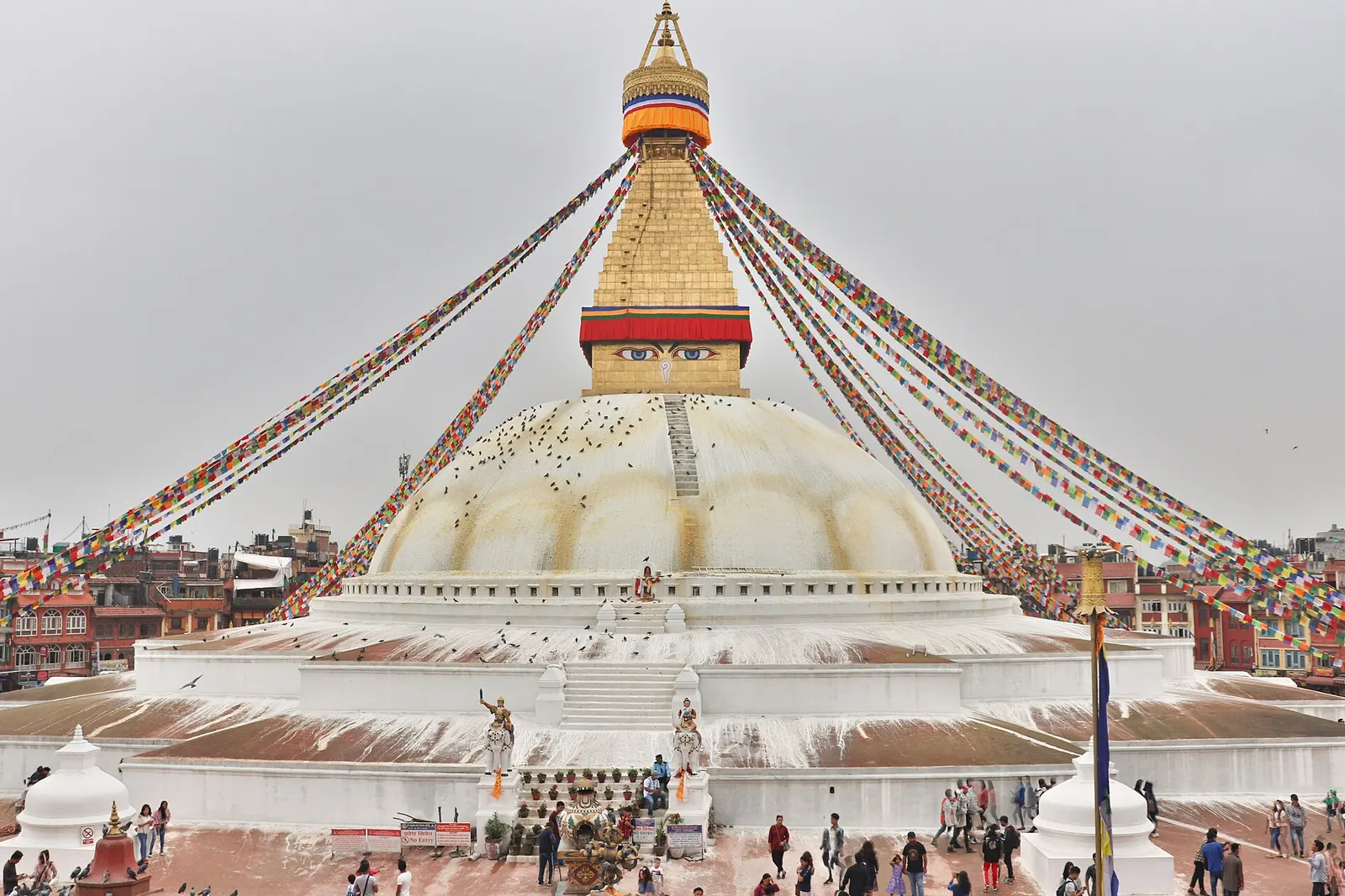
Temple, monastery or heritage site · 1,340 m
The great white stupa of north-east Kathmandu, centre of the valley's Tibetan Buddhist community and its many monasteries.
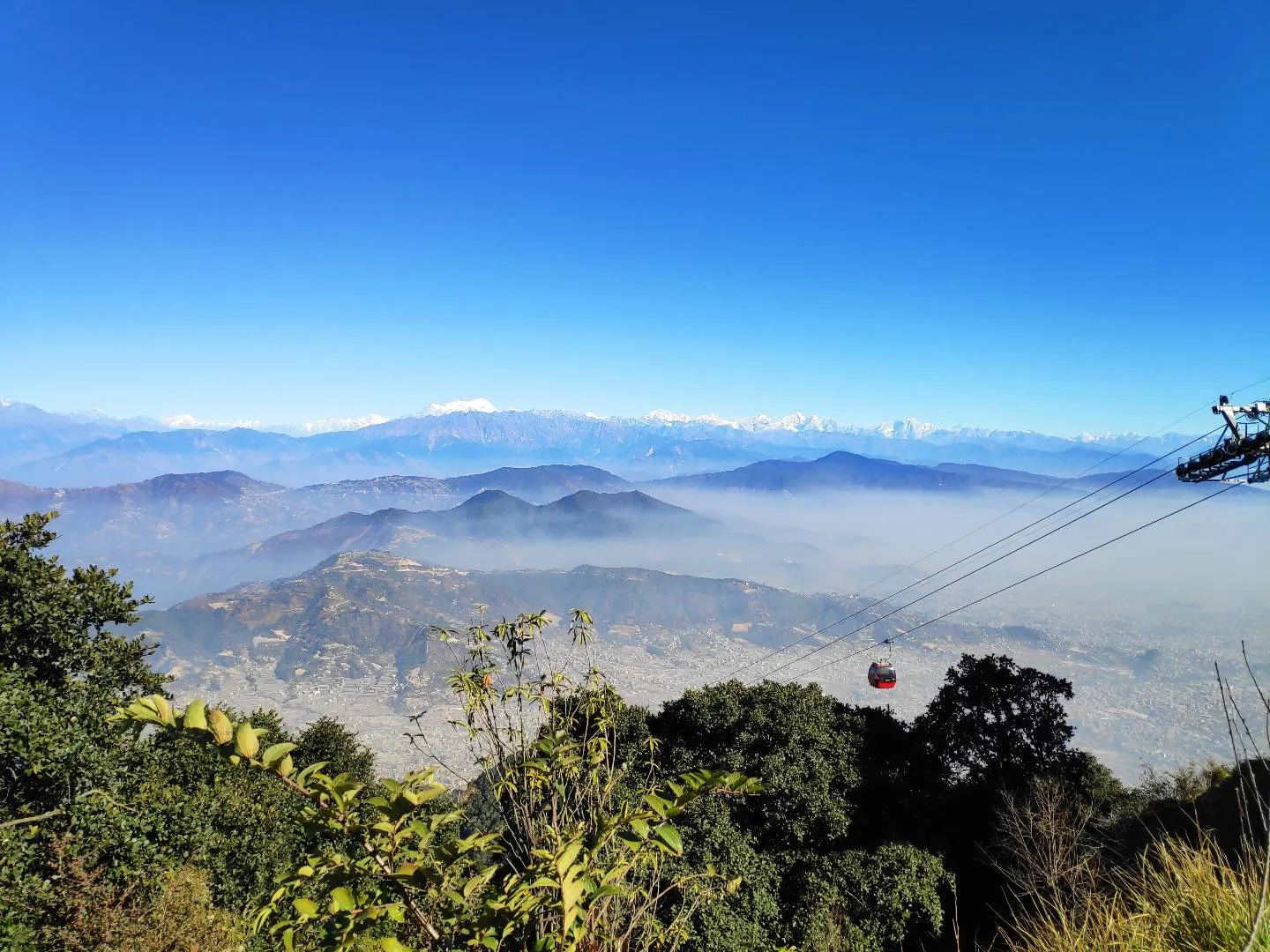
Viewpoint · 2,551 m
A hill on the Kathmandu Valley's south-western rim, reached by cable car, with a Shiva temple and wide Himalayan views.
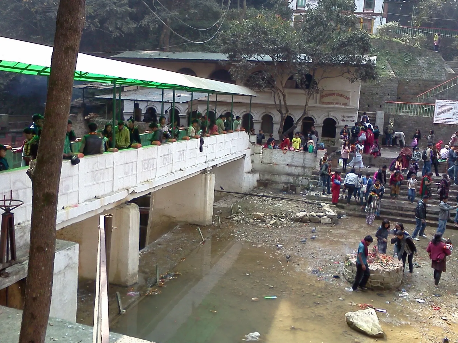
Temple, monastery or heritage site · 1,480 m
A Hindu temple to the goddess Kali in a forested gorge south of Pharping, known for its Tuesday and Saturday animal sacrifices.
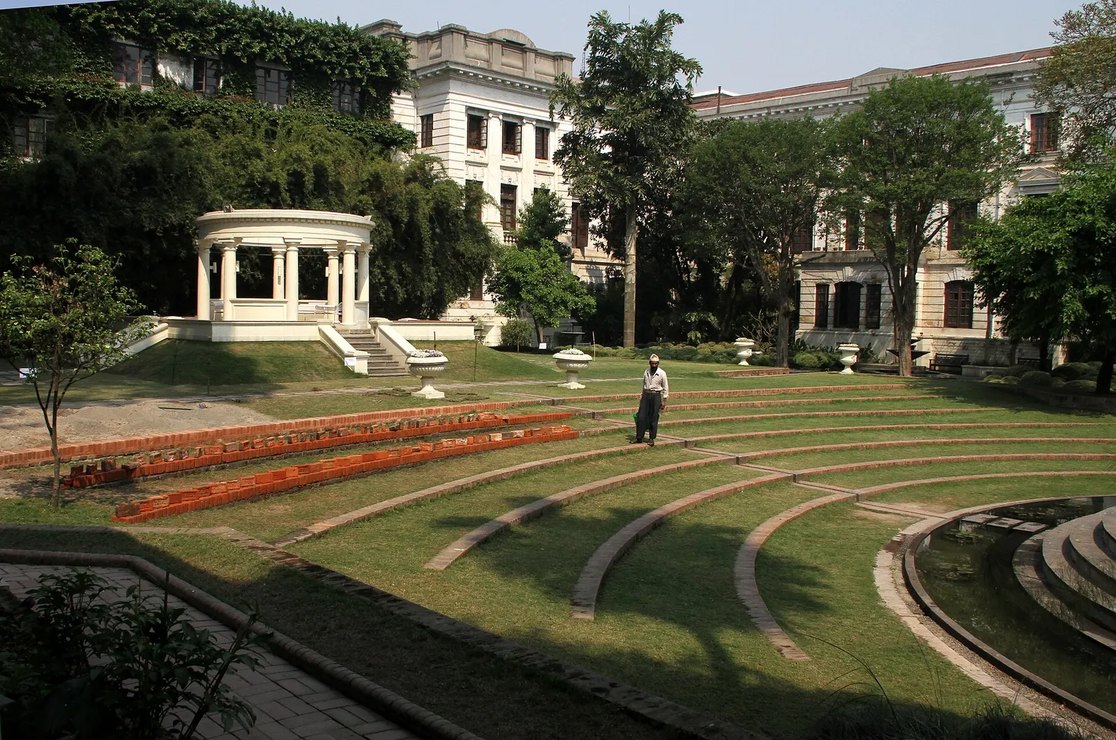
Temple, monastery or heritage site · 1,320 m
A restored 1920s Rana-era garden of pavilions, ponds and lawns at the edge of Thamel.
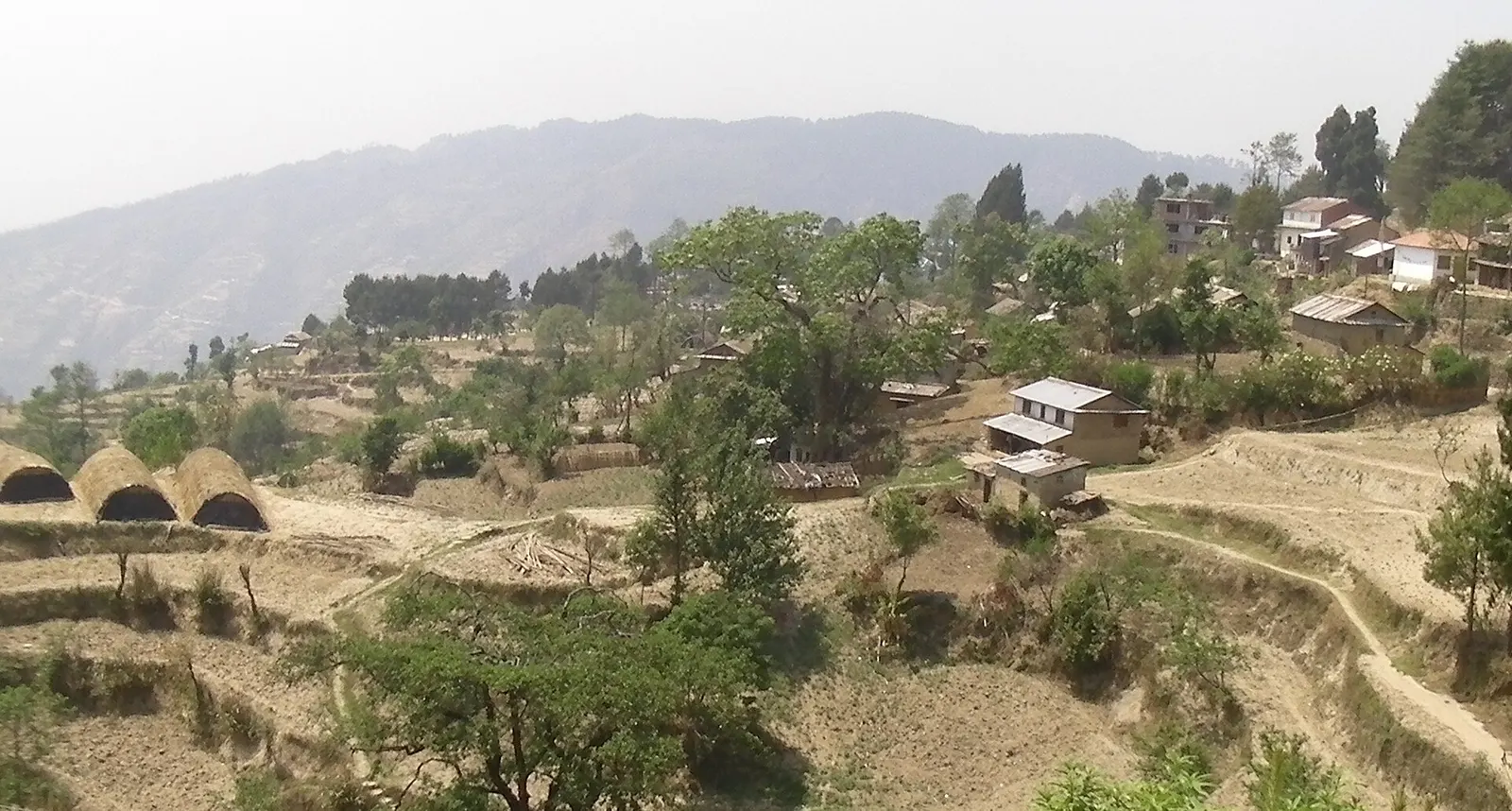
Viewpoint · 2,030 m
A quiet hill station just outside the Kathmandu Valley in Nuwakot, with Himalayan views, strawberry farms and memorial parks.
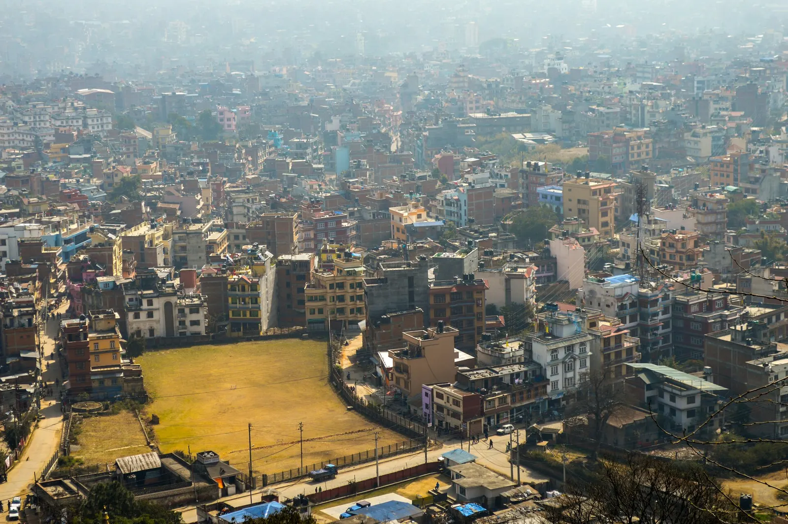
Town or village · 1,400 m
Nepal's capital, a sprawling valley city wrapped around a medieval Newar core, with major Hindu and Buddhist sites and the country's main airport.
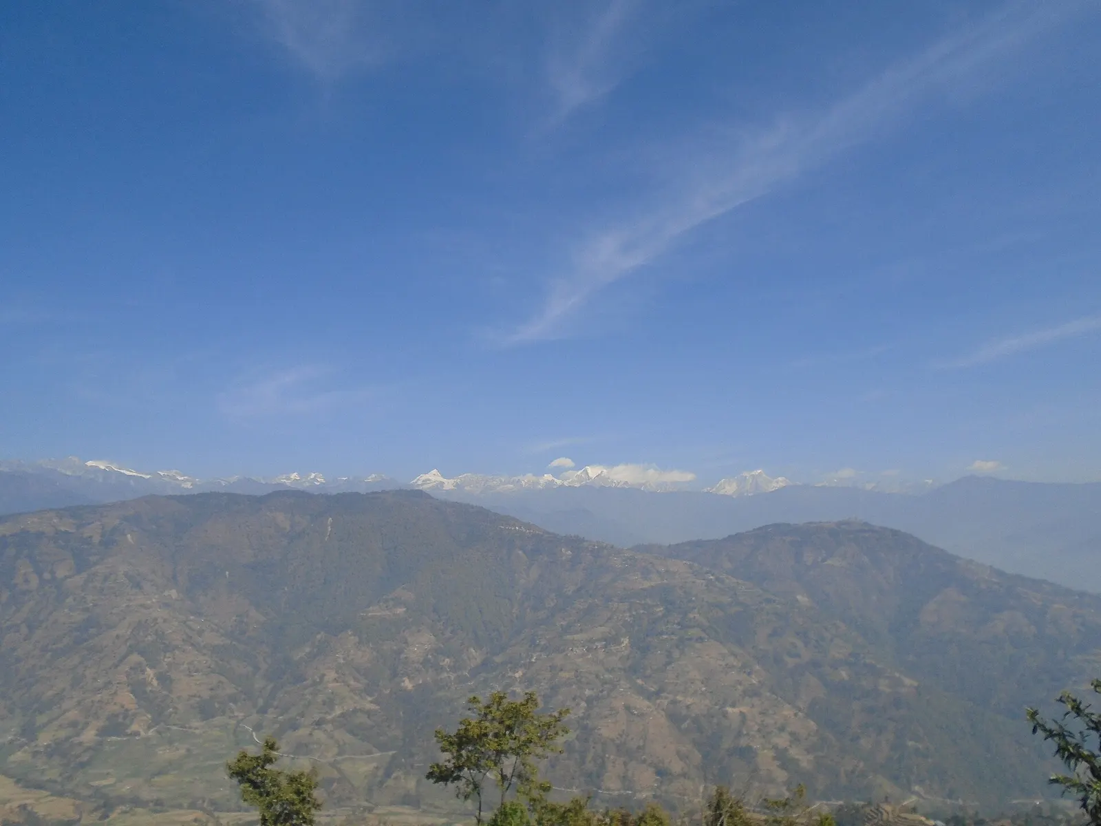
Valley or region
Hyolmo villages, monasteries and apple orchards in the hills north-east of Kathmandu, on a trek that can start from the city's edge.