
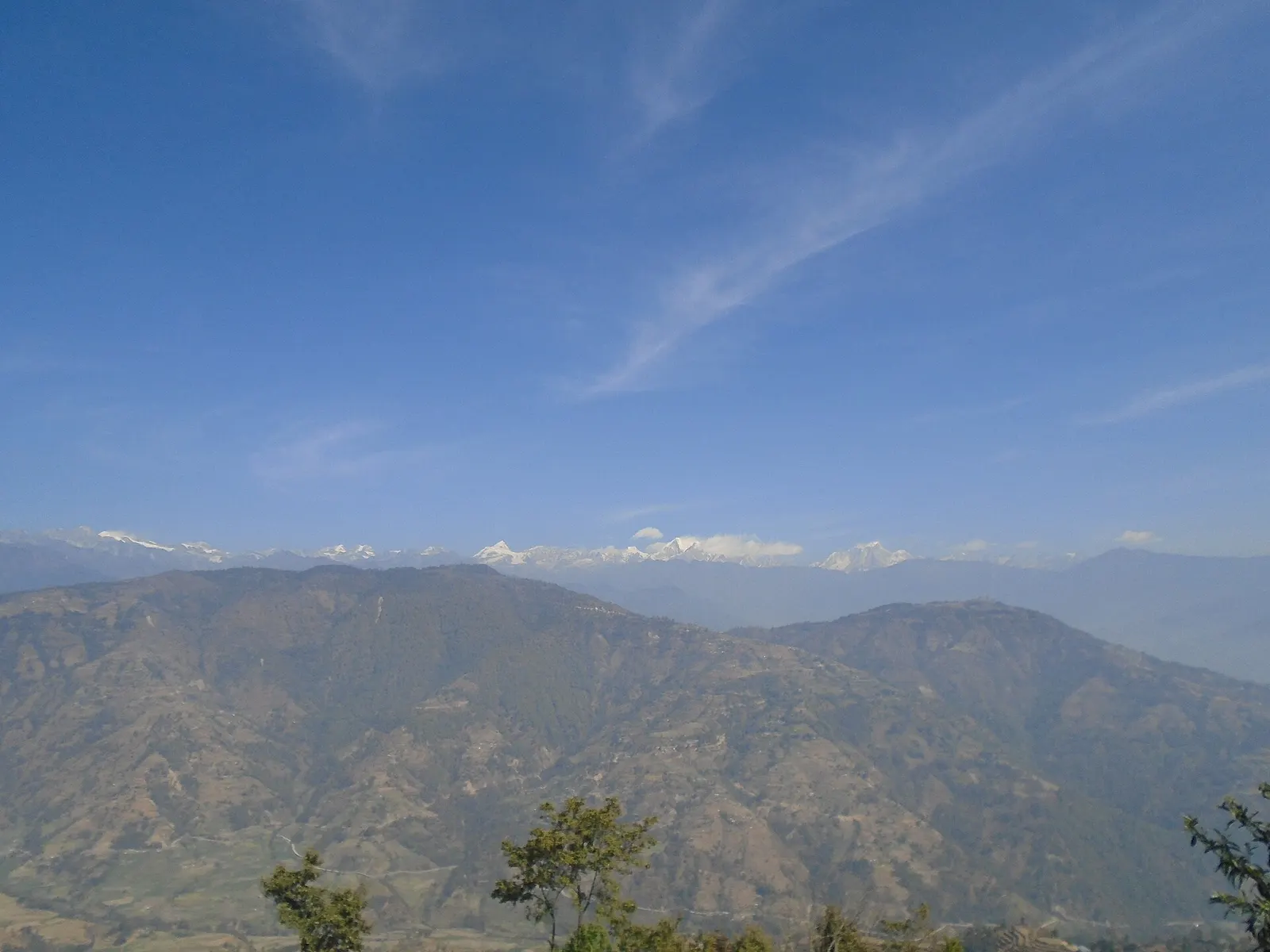
Valley or region
Helambu
Hyolmo villages, monasteries and apple orchards in the hills north-east of Kathmandu, on a trek that can start from the city's edge.
Langtangमेलम्ची
A river-junction market town in Sindhupalchok and the road gateway to Helambu, rebuilt after the 2021 floods.
This is Melamchi Bazaar and Melamchi Municipality in Sindhupalchok, the road gateway to Helambu, not Melamchigaon village high up in Helambu.
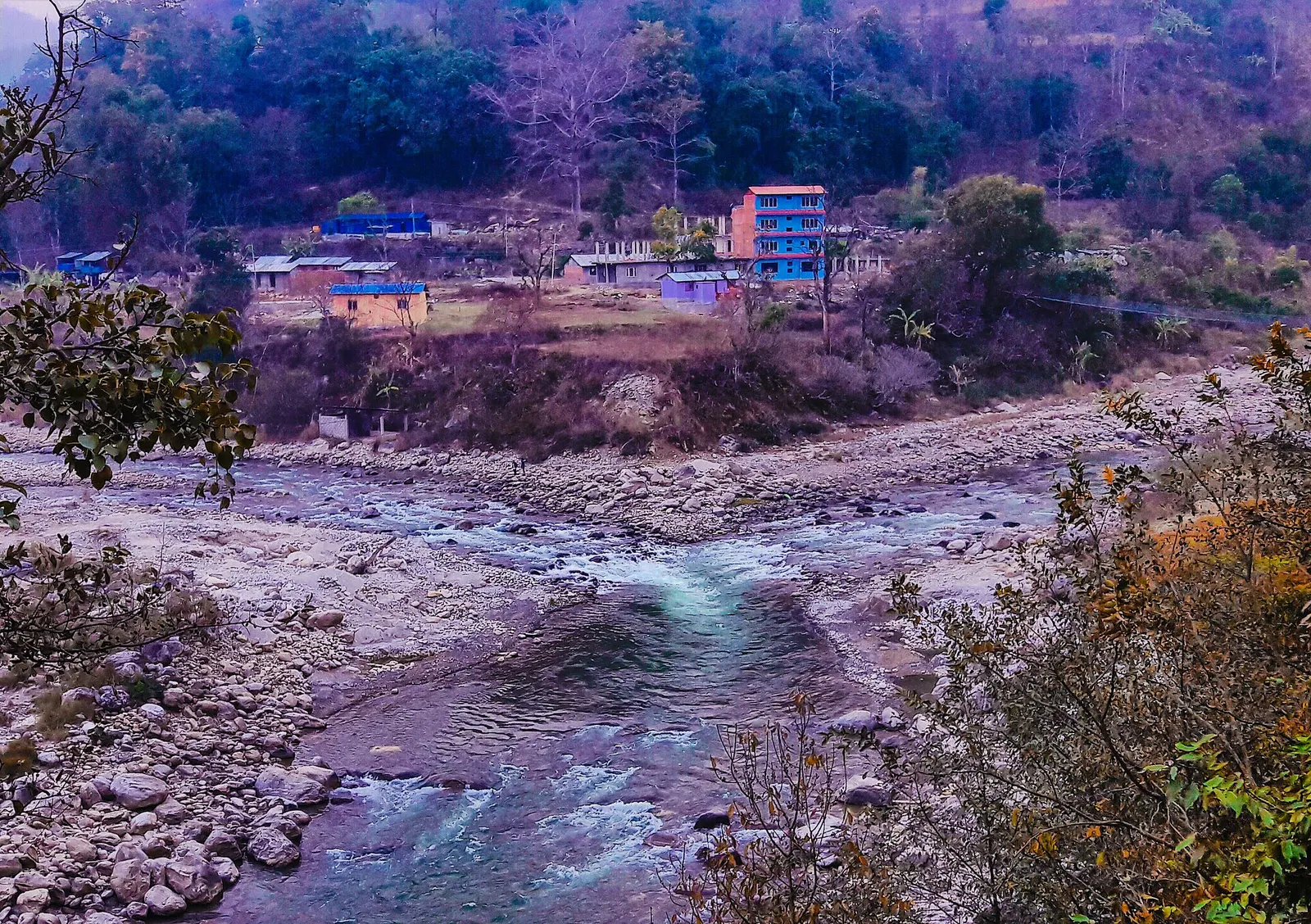
Higher seasonal exposure: flooding (Jun-Sep), landslides (Jun-Sep), road blockages (Jun-Sep).
Melamchi is a municipality in Sindhupalchok District whose main town, Melamchi Bazaar, sits where the Melamchi river joins the Indrawati, roughly 50-60 km north-east of Kathmandu as the crow flies and about 3-4 hours by road. It is a working market town rather than a sight in itself: buses, jeeps, shops, banks and simple hotels serve the villages of the valley and the Helambu trekking area to the north.
Within the Langtang hub, Melamchi is the practical start or finish point for Helambu treks. Jeeps run from here up dirt roads to Timbu, Tarkeghyang and Sermathang, and trekkers finishing the Helambu circuit usually catch transport back to Kathmandu from the bazaar. The lower valley is warm and subtropical, with rice fields and fruit trees, while the upper valley rises into cool forest and Buddhist Hyolmo villages.
Travellers may also notice the headworks of the Melamchi Water Supply Project upstream, which diverts water from the river through a long tunnel to supply the Kathmandu Valley.
The valley is a meeting ground of cultures: Hindu Brahmin, Chhetri and Newar communities dominate the lower settlements, while Tamang and Hyolmo Buddhist villages lie higher up, and the municipality has more than ten Hindu temples and over a dozen monasteries in its watershed. The 2015 earthquake caused heavy damage across Sindhupalchok, including Melamchi.
In June 2021, a landslide dam upstream burst during heavy monsoon rain and sent a debris flood down the Melamchi river that devastated parts of Melamchi Bazaar, killing more than 20 people and destroying homes, roads and bridges; another flood hit upstream villages in July. Much of the bazaar has since been rebuilt and river protection works added, but the valley remains prone to monsoon floods and landslides.
Start or end a Helambu trek
Take a jeep from Melamchi Bazaar to Timbu, Tarkeghyang or Sermathang, or catch a bus back to Kathmandu after the trek.
Riverside walk
Walk to the confluence (dovan) of the Melamchi and Indrawati rivers at the edge of town.
Stock up
Use the bazaar's banks and shops for cash and supplies before heading into the hills.
Forecast for 845 m. Conditions change fast in the mountains.
Weather data: MET Norway, licensed CC BY 4.0. A forecast, not a guarantee.
Feb-Apr, Oct-Dec
Simple hotels and guesthouses in the bazaar, mostly used by local travellers and trekkers in transit.
No partner stays are listed here yet. List a property.
Melamchi Bazaar is about 3-4 hours by road from Kathmandu via Banepa and the Araniko Highway, or via other valley roads.
Nearest hub: Kathmandu
Nearest hub: Kathmandu. Times are typical ranges, not schedules, and vary with roadworks, weather and the season.
By busfrom Kathmanduabout 3-4 hLocal buses
Local buses run from Kathmandu via Banepa and the Araniko Highway, roughly 70 to 80 km.
When to set off: Buses for the Indrawati valley leave Kathmandu through the morning; go early if you are continuing by jeep the same day.
By car or jeepfrom Kathmanduabout 3-4 h
A car or jeep on sealed hill roads via Banepa; jeeps continue from the bazaar onto dirt roads up into Helambu.
Road: Sealed highway and hill road, steep and slide-prone in places during the monsoon.
When to set off: Leave Kathmandu by 07:00 if you want to reach Tarkeghyang or Sermathang the same day.
By motorbikefrom Kathmanduabout 3-4 hModerate riding
A straightforward sealed hill ride as far as the bazaar; everything above it is rough.
Road: Sealed hill roads via Banepa, with broken and slide-prone sections in the monsoon.
On footfrom SermathangFinal day of the Helambu trek, a long descent of roughly 1,500-1,800 m
Helambu walkers finish here, descending about 1,500 to 1,800 m from Sermathang on trail or jeep road.
None needed
No permit is needed for Melamchi itself. Trekking into the northern Helambu area inside Langtang National Park needs the park entry permit.
Verify before travel: permit rules and fees change. Checked 2026-10-06 against Melamchi (Wikipedia).
On the Helambu trek.
What this place is typically exposed to, and when. These are seasonal patterns, not a report on conditions now.
Floodinghigh in a typical yearJun-Sep
The Melamchi river carries a documented monsoon flash-flood and debris-flow risk: in June and July 2021 long monsoon rain loosened material upstream, the river was dammed and the breach swept away homes, roads and bridges in the valley.
Landslideshigh in a typical yearJun-Sep
The Araniko Highway corridor runs under extremely steep hillsides that are very prone to landslides, and large slides after heavy rain are a recurring monsoon pattern on this route.
Road blockageshigh in a typical yearJun-Sep
Monsoon slides and washouts on the valley roads into Melamchi can hold up or divert vehicles, and road and bridge damage in the 2021 flood showed how exposed the valley route is.
Coldlow in a typical yearDec-Feb
Winter is mild on the valley floor at about 850 m, though mornings are foggy and the hills above are much colder.
Check current conditions before you travel
Roads, trails, passes and flights change with the weather and with roadworks, and nothing on this page describes conditions today. Before you set off, check the Department of Hydrology and Meteorology for weather and flood warnings, the Nepal Disaster Risk Reduction Portal for incidents, and the local authority, police or your licensed operator for road, trail and flight status.
By bus or jeep, roughly 70-80 km and 3-4 hours.
It is the main road gateway: you can start by jeep from Melamchi into Helambu, or finish the trek here.
In June 2021 a landslide dam upstream burst and a debris flood hit Melamchi Bazaar, killing more than 20 people and destroying homes and roads.
Valley or region
Hyolmo villages, monasteries and apple orchards in the hills north-east of Kathmandu, on a trek that can start from the city's edge.
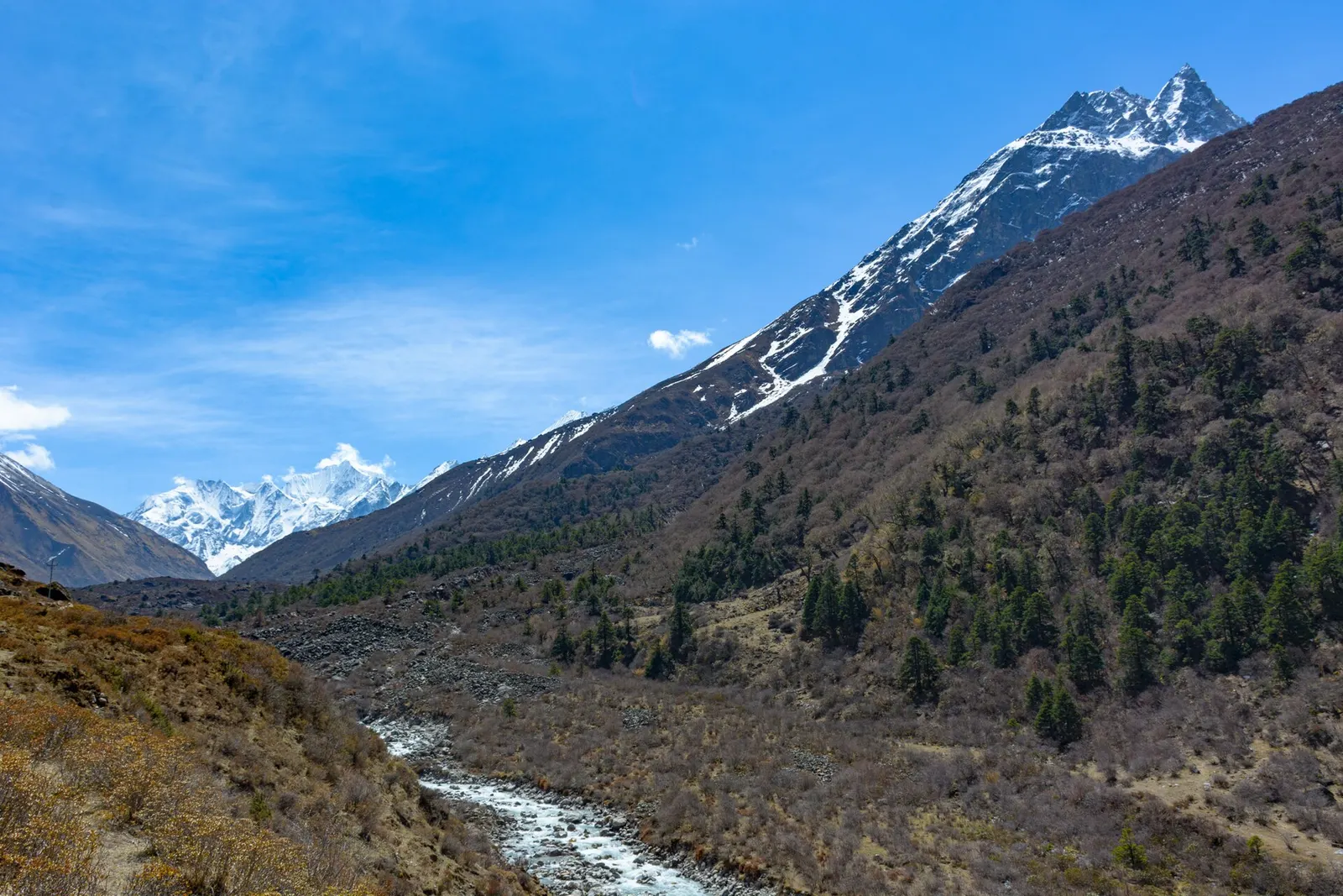
Valley or region
A glacier valley north of Kathmandu, walked from Syabrubesi through forest and yak pastures to Kyanjin Gompa under Langtang Lirung.
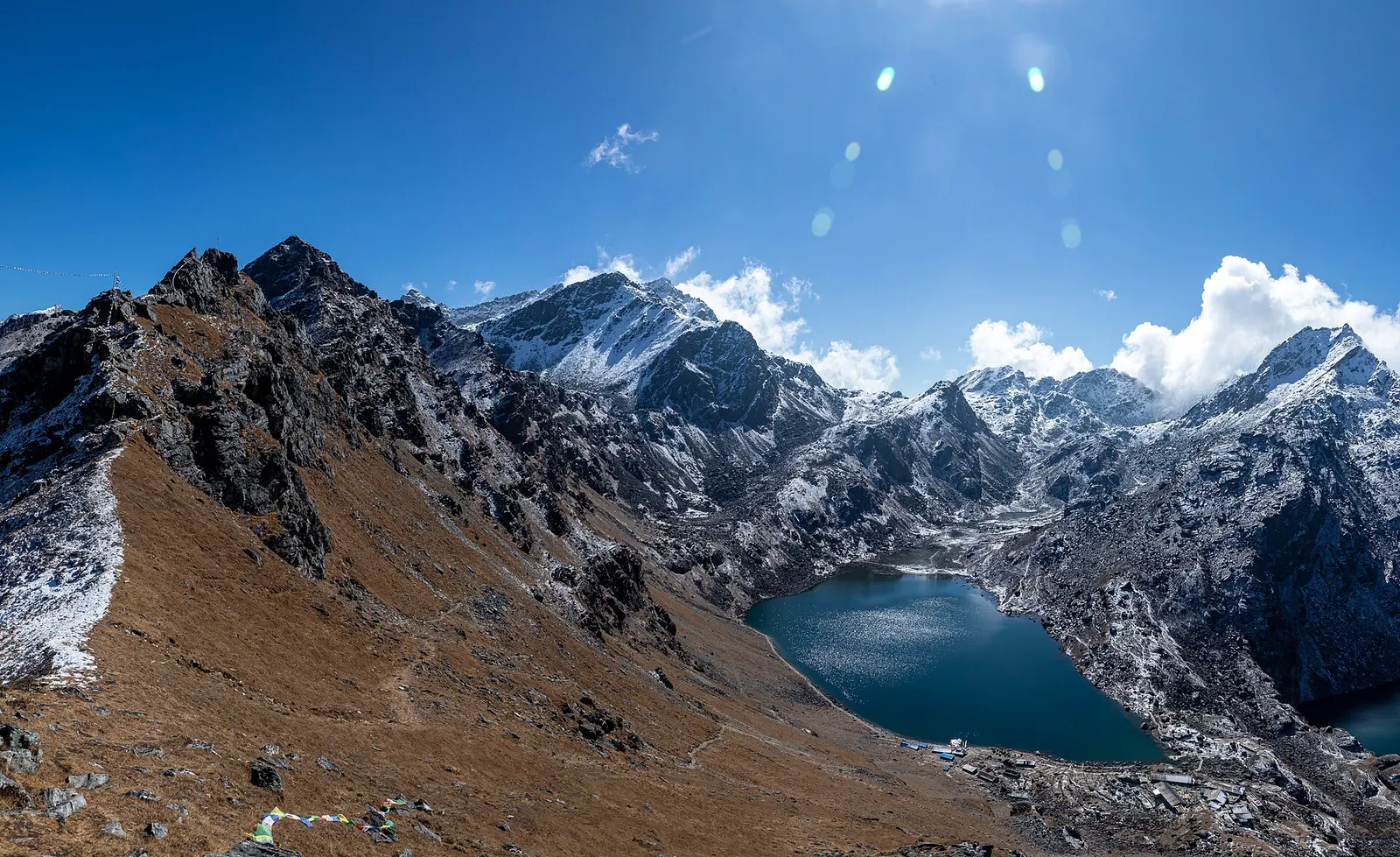
Lake · 4,380 m
A sacred alpine lake at about 4,380 m in Langtang National Park, a Hindu and Buddhist pilgrimage site and a high point between Langtang and Helambu.
Lake · 4,100 m
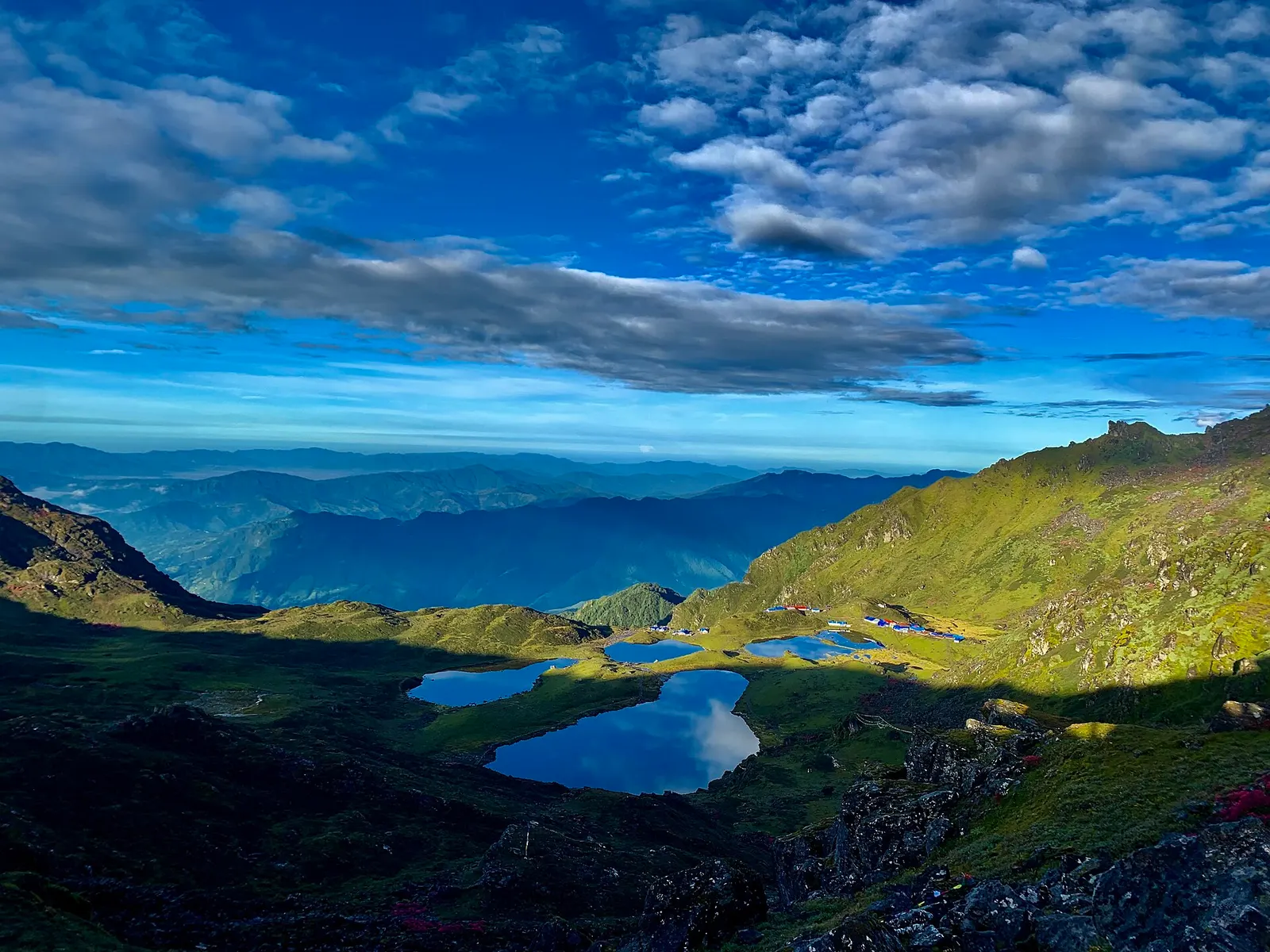
Five holy lakes at about 4,100 m below the Jugal Himal in Sindhupalchok, a pilgrimage at Janai Purnima and a quiet trek.
Town or village · 2,030 m
The district headquarters of Rasuwa and the road-side start of the Gosaikunda trail.
Trek stop · 3,330 m
A forest settlement with a small monastery on the climb to the Gosaikunda lakes.
Trek stop · 1,460 m
The road-head village in Rasuwa where the Langtang Valley trek begins.
Trek stop · 2,210 m
A Tamang ridge village that links the Langtang Valley with the Gosaikunda trail.
Valley or region
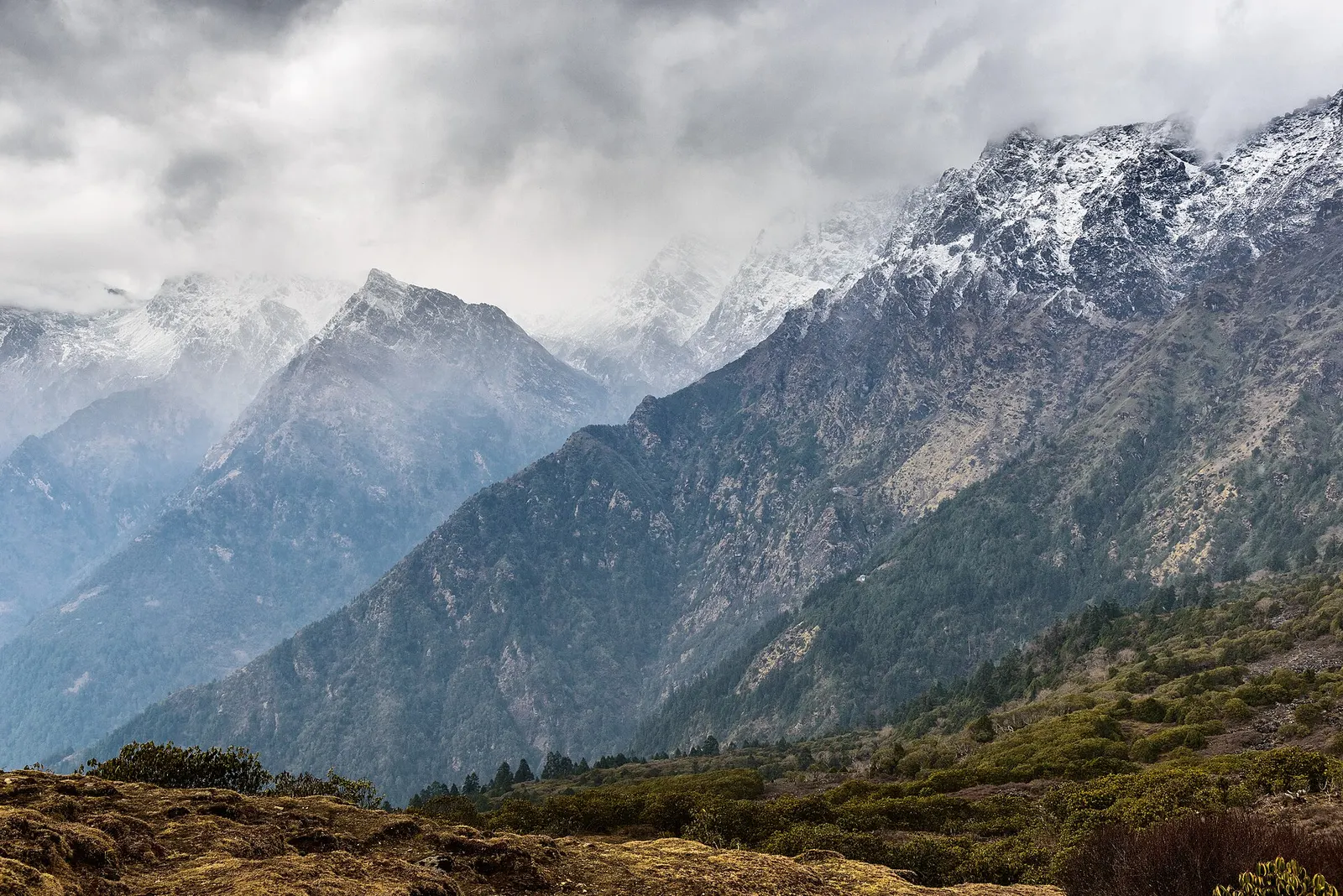
The trekking region closest to Kathmandu: glacier valleys, holy lakes and Hyolmo villages across Rasuwa, Nuwakot and Sindhupalchok.
Town or village · 1,550 m
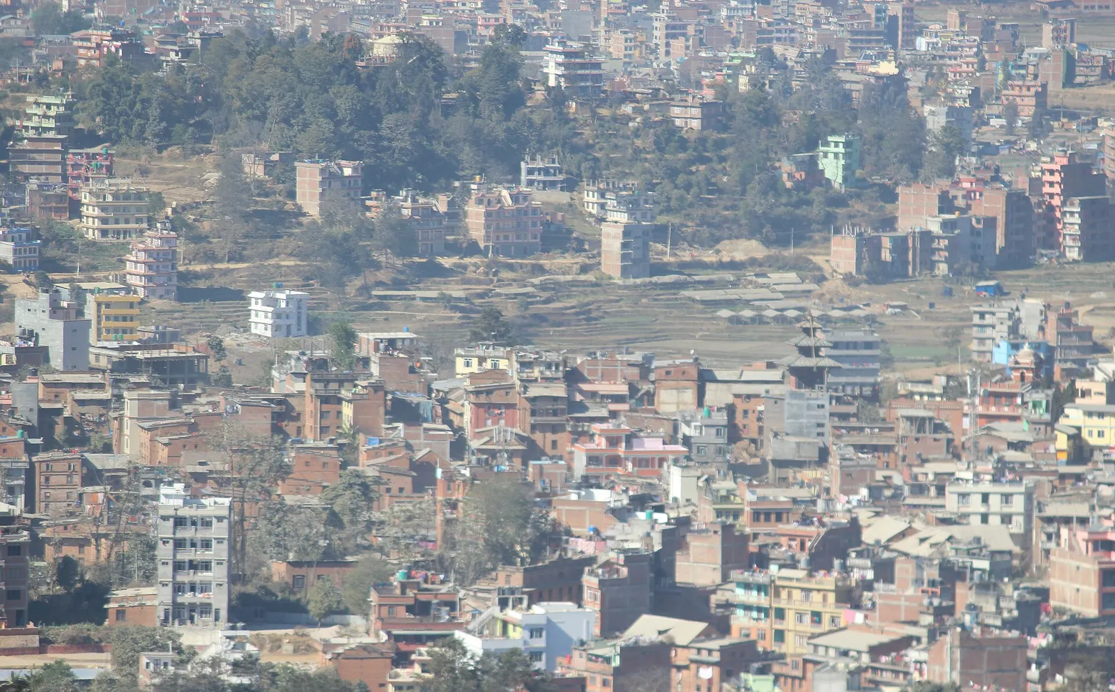
A Newar hill town on the eastern rim of the Kathmandu Valley, with a wide Himalayan skyline and walking trails to Namo Buddha and Panauti.