Skip to content

Langtangसिङ गुम्बा (चन्दनबारी)

Sing Gompa (Chandanbari)

A forest settlement with a small monastery on the climb to the Gosaikunda lakes.

This is Sing Gompa, also called Chandanbari, the forest settlement on the trail from Dhunche and Thulo Syabru to Gosaikunda.

Plan a trip here
Altitude
3,330 m*
Best months
Mar-May, Oct-Nov
Type
Trek stop
District
Rasuwa, Bagmati
Permit
Permit required

Higher seasonal exposure: snow (Dec-Apr), cold (Dec-Feb).

Why go

Sing Gompa, also known as Chandanbari, is a small settlement of lodges around a gompa in fir and rhododendron forest, on the ridge above Dhunche. It is the usual overnight stop before the final climb to the Gosaikunda lakes, whether you come up from Dhunche or across from Thulo Syabru.

The settlement sits at a useful height for acclimatisation, a little over 3,300 m, about 1,000 m below the lakes. Above it the trail climbs out of the forest to Lauribina, where the views open to Langtang Lirung, Ganesh Himal and on clear days the peaks towards Tibet.

History and culture

The gompa that gives the place its name is a small Buddhist monastery serving the Tamang communities of the area. Chandanbari is the Nepali name, meaning a garden of sandalwood or fragrant trees. The trail through here is also a pilgrimage route: thousands of Hindu and Buddhist pilgrims walk to Gosaikunda for the Janai Purnima full moon in July or August.

Things to do in Sing Gompa (Chandanbari)

  • Climb to Gosaikunda

    Via Lauribina, about 4-5 hours and roughly 1,000 m of ascent to the lakes.

  • Visit the gompa

    Ask a caretaker before entering, and walk clockwise around it.

Weather and the best time to visit Sing Gompa (Chandanbari)

Weather in Sing Gompa (Chandanbari)

Forecast for 3,330 m. Conditions change fast in the mountains.

Weather data: MET Norway, licensed CC BY 4.0. A forecast, not a guarantee.

Best time to visit

Mar-May, Oct-Nov

  1. Jan
  2. Feb
  3. Good month: Mar
  4. Good month: Apr
  5. Good month: May
  6. Jun
  7. Jul
  8. Aug
  9. Sep
  10. Good month: Oct
  11. Good month: Nov
  12. Dec
Autumn (Sep-Nov)
October and November bring the clearest skies and steady trail conditions.
Winter (Dec-Feb)
December to February is cold and clear; snow can lie on higher trails and some lodges close.
Spring (Mar-May)
March to May is milder, with rhododendrons in flower on the forested slopes; haze builds by May.
Monsoon (Jun-Aug)
June to August brings heavy rain, leeches and landslide risk on the roads and lower trails.

Where to stay

Teahouses

A few lodges near the gompa; very busy at the Janai Purnima festival.

No partner stays are listed here yet. List a property.

Getting there

On foot from Dhunche (about 5-6 hours) or from Thulo Syabru (about 4-5 hours).

Nearest hub: Dhunche

  • trekDhunche to Sing Gompa via Deurali, a steep climb of about 1,300 m in 5-6 hours.
  • trekThulo Syabru to Sing Gompa through forest, about 4-5 hours.

Getting to Sing Gompa (Chandanbari), by mode

Nearest hub: Dhunche. Times are typical ranges, not schedules, and vary with roadworks, weather and the season.

  • On footfrom Dhuncheabout 5-6 hAbout 5-6 h from Dhunche, roughly 1,300 m of ascent

    On foot from Dhunche via Deurali, or from Thulo Syabru through forest in about 4 to 5 hours. There is no road to the lodges.

    When to set off: Leave Dhunche early: the climb gains roughly 1,300 m with little shade on the upper section.

    Langtang National Park (Wikivoyage)

Where people go next

  • Gosaikundaon footUp past Lauribina to the lakes, usually a day.
  • Dhuncheon foot, about 4-5 hSteep descent to the road at Dhunche.
  • Thulo Syabruon foot, about 4-5 hForest descent towards the Langtang valley.
Mount Everest 8,848.86Kangchenjunga 8,586Dhaulagiri I 8,167Manaslu 8,163Annapurna I 8,091Sing Gompa (Chandanbari)Kathmandu
Boundary: Government of Nepal, Survey Department (2020). Peak data: Wikidata.

Permits and fees

Permit required

This stop is in or on the way into Langtang National Park; the park entry permit is needed, and the route is on the Nepal Tourism Board's list of treks requiring a licensed guide and an agency-issued TIMS card.

  • Langtang National Park entry permit: Sold at the Tourist Service Centre in Kathmandu or at park entry points; checked near Dhunche and along the trail.
  • TIMS card: Issued through a registered trekking agency under the 2023 rule; check the current requirement.

Verify before travel: permit rules and fees change. Checked 2026-10-06 against Nepal Tourism Board: Park entry fees.

On the trail

On the Langtang Gosaikunda Trek.

Previous stop:
Thulo Syabru or Dhunche
Next stop:
Lauribina and Gosaikunda
A typical day:
About 4-5 hours from Thulo Syabru, climbing roughly 1,100 m through forest.

Risks and conditions

Seasonal risks around Sing Gompa (Chandanbari)

What this place is typically exposed to, and when. These are seasonal patterns, not a report on conditions now.

  • Snowhigh in a typical yearDec-Apr

    Snow lies on the Chandanbari ridge and the climb towards Lauribina through winter and early spring; the trail can need care, and the park sees localised snow in January and February.

    Langtang National Park (Wikivoyage)

  • Coldhigh in a typical yearDec-Feb

    December to February brings hard frost and deep cold at this height, with short days and lightly heated lodges; a four-season sleeping bag and down layers are normal kit.

    Langtang National Park (Wikivoyage)

  • Altitudemoderate in a typical yearAll year

    General information, not medical advice: above about 3,000 m altitude illness becomes a real risk. Gain sleeping height slowly, learn the symptoms of headache with nausea, breathlessness or unsteady walking, and go down if they get worse. See a doctor before travelling and carry insurance that covers helicopter evacuation.

    Altitude sickness (Wikivoyage)

  • Landslidesmoderate in a typical yearJun-Sep

    Steep forested hillsides on these ridges shed small slides and washed-out trail sections during monsoon rain; rocky trails stay slippery after rain or frost.

    Langtang National Park (Wikivoyage)

  • Othermoderate in a typical yearJun-Sep

    From June to August the forest trails are slippery after rain, leeches are common and the mountains are usually hidden by cloud.

    Langtang National Park (Wikivoyage)

Check current conditions before you travel

Roads, trails, passes and flights change with the weather and with roadworks, and nothing on this page describes conditions today. Before you set off, check the Department of Hydrology and Meteorology for weather and flood warnings, the Nepal Disaster Risk Reduction Portal for incidents, and the local authority, police or your licensed operator for road, trail and flight status.

Practical tips

  • Above about 2,500-3,000 m, altitude sickness is a risk: climb slowly, and go down if headache, nausea or unusual tiredness get worse. General information, not medical advice.
  • Nights are cold; carry a warm sleeping bag.
  • Expect crowds and full lodges around Janai Purnima.

Treks through Sing Gompa (Chandanbari)

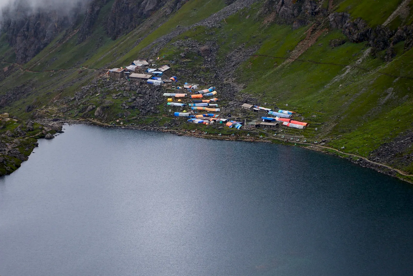
The dark water of Gosaikunda lake with a cluster of lodges with coloured roofs on the green slope above its shore.

The Langtang Valley to Kyanjin Gompa combined with the climb to the sacred Gosaikunda lakes (about 4,380 m) via Thulo Syabru and Sing Gompa, finishing at Dhunche. Check road access after the August 2026 floods.

Days
11 days
Maximum altitude
4,984 m
Difficulty
Strenuous

Questions about Sing Gompa (Chandanbari)

Is Sing Gompa the same as Chandanbari?

Yes. Both names are used for the same settlement on the Gosaikunda trail.

How long from Sing Gompa to Gosaikunda?

About 4-5 hours, climbing roughly 1,000 m via Lauribina.

Is altitude a concern at Sing Gompa?

At about 3,300 m some people feel mild symptoms; take it slowly and do not go higher with worsening symptoms.

More in Langtang

All of Langtang
Forested Helambu ridges with the Jugal Himal behind, seen from Bhotechaur.

Valley or region

Helambu

Hyolmo villages, monasteries and apple orchards in the hills north-east of Kathmandu, on a trek that can start from the city's edge.

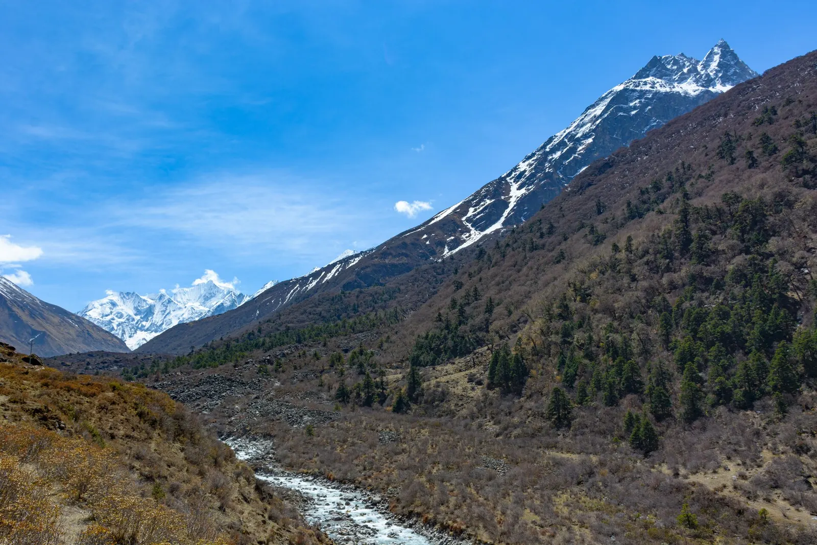
Gangchempo and Dorje Lhakpa rising above the upper Langtang Valley.

Valley or region

Langtang Valley

A glacier valley north of Kathmandu, walked from Syabrubesi through forest and yak pastures to Kyanjin Gompa under Langtang Lirung.

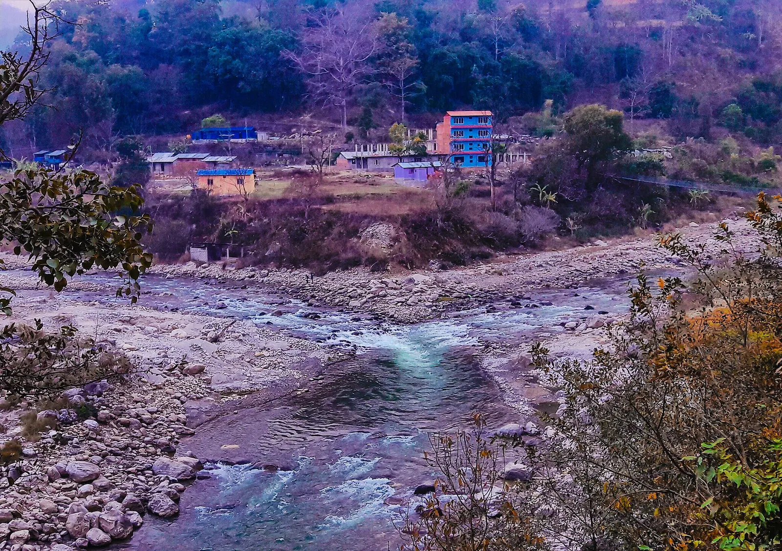
The meeting point of the Melamchi and Indrawati rivers at Melamchi.

Town or village · 845 m

Melamchi

A river-junction market town in Sindhupalchok and the road gateway to Helambu, rebuilt after the 2021 floods.

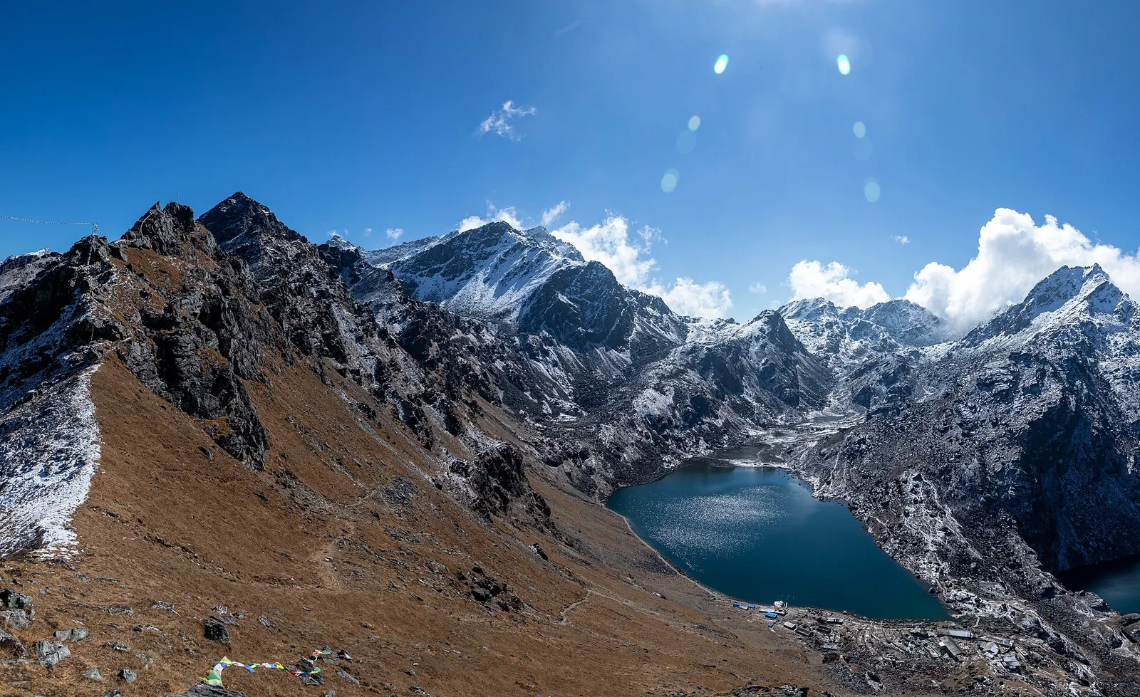
The blue Gosaikunda lake in a rocky alpine basin.

Lake · 4,380 m

Gosaikunda

A sacred alpine lake at about 4,380 m in Langtang National Park, a Hindu and Buddhist pilgrimage site and a high point between Langtang and Helambu.

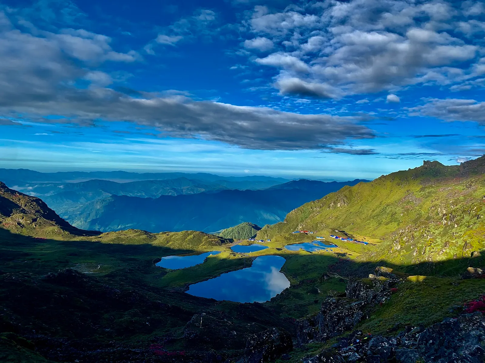
The group of five holy lakes at Panch Pokhari seen from a viewpoint in early morning.

Lake · 4,100 m

Panch Pokhari

Five holy lakes at about 4,100 m below the Jugal Himal in Sindhupalchok, a pilgrimage at Janai Purnima and a quiet trek.

Town or village · 2,030 m

Dhunche

The district headquarters of Rasuwa and the road-side start of the Gosaikunda trail.

Trek stop · 1,460 m

Syabrubesi

The road-head village in Rasuwa where the Langtang Valley trek begins.

Trek stop · 2,210 m

Thulo Syabru

A Tamang ridge village that links the Langtang Valley with the Gosaikunda trail.

Nearby

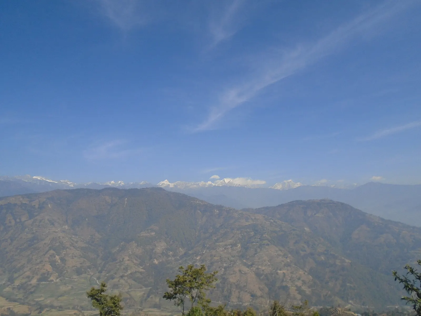
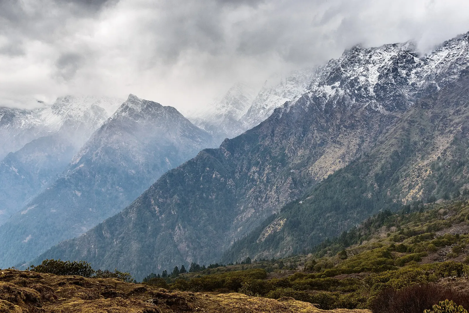
Snow-covered Himalayan peaks above the forested slopes of Langtang National Park.

Valley or region

Langtang

The trekking region closest to Kathmandu: glacier valleys, holy lakes and Hyolmo villages across Rasuwa, Nuwakot and Sindhupalchok.

Editorial draft: facts are being checked against the sources below. Last checked 2026-10-06. Sources: Gosaikunda, Wikipedia, OpenStreetMap: Chandanbari, Nepal Tourism Board: Park entry fees