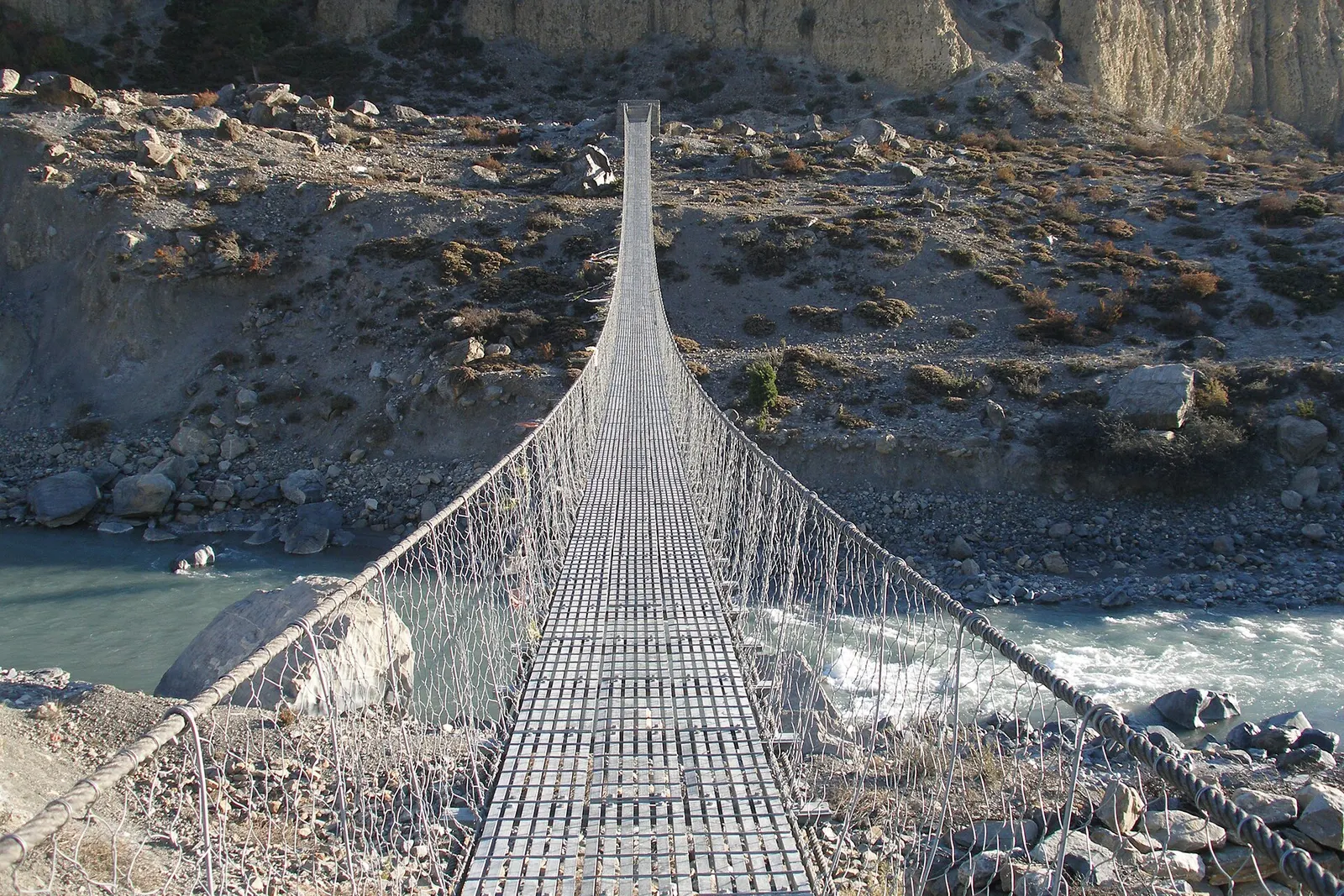


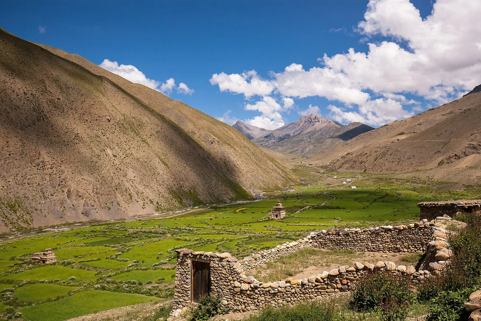
A remote camping traverse from Juphal up the Tarap valley to Dho Tarap, east over high passes to Chharka Bhot, and over the Sangda La into Mustang to finish at Jomsom.
- Days
- 16 days
- Maximum altitude
- 5,550 m
- Difficulty
- Challenging
Mustangजोमसोम
Mustang's headquarters and airstrip town on the Kali Gandaki, under the walls of Nilgiri and Dhaulagiri.
Higher seasonal exposure: landslides (Jun-Sep), road blockages (Jun-Sep), other (All year).
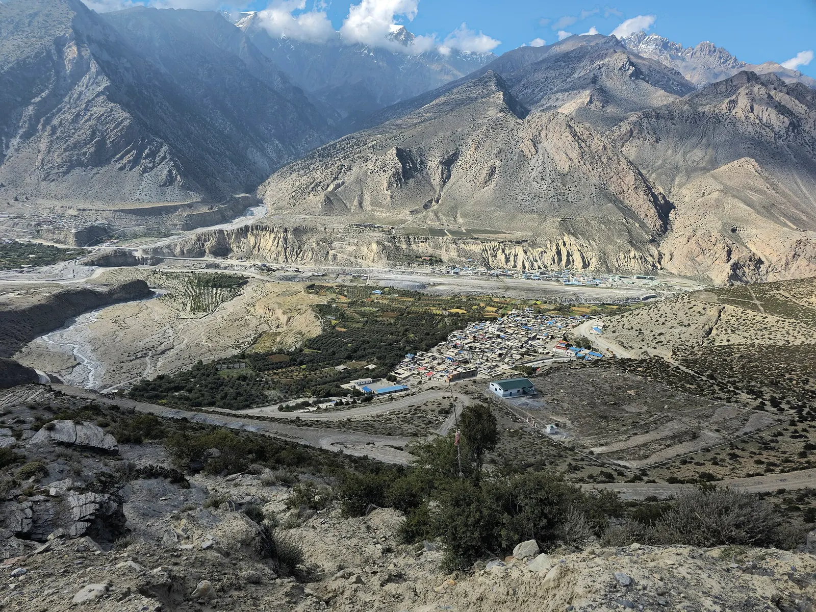
Jomsom is the district headquarters of Mustang and the place where most visitors arrive, by the short mountain flight from Pokhara or by road along the Kali Gandaki. The town stretches along both banks of the wide, stony river at about 2,740 m, with Nilgiri rising steeply to the east and Dhaulagiri to the south-west. Government offices, an army post, banks, shops and many lodges make it the practical base for the rest of the district.
For trekkers coming over the Thorong La on the Annapurna Circuit, Jomsom is often where the walk ends and the flight or jeep back to Pokhara begins. For others it is the starting point for Muktinath, Kagbeni and Upper Mustang. A day or two here also helps with acclimatisation before going higher.
Jomsom is not a picturesque old village in itself; its appeal is the setting and what lies around it. Within Mustang, it is the hub: Marpha is about 1-2 hours' walk down the valley, Kagbeni a few hours up it, and Muktinath a short drive beyond. Walks to the old villages of Thini and Syang, Dhumba Lake and the Mustang Eco Museum fill a spare day.
Like the rest of the valley, Jomsom is famous for its wind. From late morning a strong wind blows up the Kali Gandaki from the south, which is why flights operate only in the early morning and why houses are built low, flat-roofed and around courtyards.
The name is often explained as Dzongsam, 'new fort', and the older settlement of Thini across the river is the traditional village of this part of the valley. The people of the area are mainly Thakali, whose culture blends Tibetan Buddhist, Bon and Hindu elements, together with Gurung, Tibetan and other communities who have settled here for trade and government work. The airstrip has operated since the 1960s and turned Jomsom into the main entry point to Mustang after the district opened to tourism.
Hindu pilgrims bound for Muktinath pass through in large numbers, and the riverbed of the Kali Gandaki here is known for shaligram, black ammonite fossils that Hindus revere as a form of Vishnu.
Walk to Thini and Dhumba Lake
A half-day loop across the river to the old village of Thini and the small lake of Dhumba, with views of Nilgiri.
Visit the Mustang Eco Museum
Displays on Mustang's culture, medicinal plants and history; check opening times locally.
Day trip to Marpha
Walk 1-2 hours down the valley to Marpha for its stone lanes and apples, returning by bus or jeep.
Go up to Kagbeni and Muktinath
A jeep or a day and a half on foot takes you to Kagbeni and on to the Muktinath temple.
Forecast for 2,743 m. Conditions change fast in the mountains.
Weather data: MET Norway, licensed CC BY 4.0. A forecast, not a guarantee.
Mar-May, Sep-Nov
Many lodges and small hotels, most near the airport and along the main street.
No partner stays are listed here yet. List a property.
Fly from Pokhara in under half an hour, or travel by bus and jeep via Beni along the Kali Gandaki road.
Nearest hub: Pokhara
Nearest hub: Pokhara. Times are typical ranges, not schedules, and vary with roadworks, weather and the season.
By airfrom Pokharaabout 0.3-0.6 hJomsomoften delayed or cancelled by weather
Small aircraft fly Pokhara to Jomsom in about 20 minutes, threading the Kali Gandaki gorge rather than crossing the range. Conditions are inadequate for visual approaches roughly 15 per cent of the time, so delays and cancellations are routine.
When to set off: Flights are scheduled in the early morning, when wind speeds in the gorge are lowest; keep a spare day in the plan.
By busfrom Pokharaabout 8-12 hLocal buses
Local buses and shared jeeps work the Pokhara-Beni-Jomsom road, usually with a change of vehicle at Beni. Services are slower and less certain in the monsoon, when the gorge road is prone to blockages.
When to set off: Buses up the valley start early in the morning; an overnight stop at Beni or Tatopani is common.
By car or jeepfrom Pokharaabout 7-10 h
Sealed as far as Beni, then a narrow mountain road up the Kali Gandaki gorge through Tatopani and Ghasa. The gorge section is prone to landslide and flood blockages in the monsoon and is generally straightforward from about October to May.
Road: Sealed highway to Beni, then a rough and narrow gorge road; a jeep or other high-clearance vehicle is normal above Beni.
When to set off: Leave Pokhara by about 06:00-07:00 to reach Jomsom in one day.
By motorbikefrom Pokharaabout 8-12 hExperienced riders only
A well-known ride, but the gorge section above Beni is loose, dusty and exposed, with stream crossings, and the Kali Gandaki valley is known for gusty winds that build after midday.
Road: Rough, dusty and exposed above Beni, with stream crossings and strong afternoon headwinds up the valley.
When to set off: Ride the gorge in the morning; the up-valley wind strengthens through the afternoon.
On footfrom Muktinathabout 5-7 hAbout 5-7 hours down the valley from Muktinath via Kagbeni; less if you take a jeep for part of it.
Trekkers finishing the Annapurna Circuit over the Thorong La walk down to Jomsom, which is now the usual end of the circuit since the Beni road was built.
Permit required
Jomsom is inside the Annapurna Conservation Area, so foreign visitors need an ACAP entry permit. No restricted area permit is needed for Jomsom itself.
Verify before travel: permit rules and fees change. Checked 2026-10-06 against Department of Immigration: Trekking route and permit fee.
On the Annapurna Circuit, Upper Mustang Trek, Jomsom Muktinath Trek.
What this place is typically exposed to, and when. These are seasonal patterns, not a report on conditions now.
Landslideshigh in a typical yearJun-Sep
The road in from Beni through Tatopani and Ghasa is prone to landslides and flooding in the monsoon, and is generally trouble-free in the dry season from about October to May.
Road blockageshigh in a typical yearJun-Sep
Monsoon landslides in the Kali Gandaki gorge typically mean delays and vehicle changes on the Pokhara-Jomsom road rather than a steady service.
Otherhigh in a typical yearAll year
Jomsom's airstrip sits in a windy gorge and is below visual-approach minimums roughly 15 per cent of the year; flights are scheduled for the early morning because southerly winds build with daytime heating.
Coldmoderate in a typical yearDec-Feb
December to February is cold, dry and windy at about 2,740 m, with occasional snow in town.
Check current conditions before you travel
Roads, trails, passes and flights change with the weather and with roadworks, and nothing on this page describes conditions today. Before you set off, check the Department of Hydrology and Meteorology for weather and flood warnings, the Nepal Disaster Risk Reduction Portal for incidents, and the local authority, police or your licensed operator for road, trail and flight status.
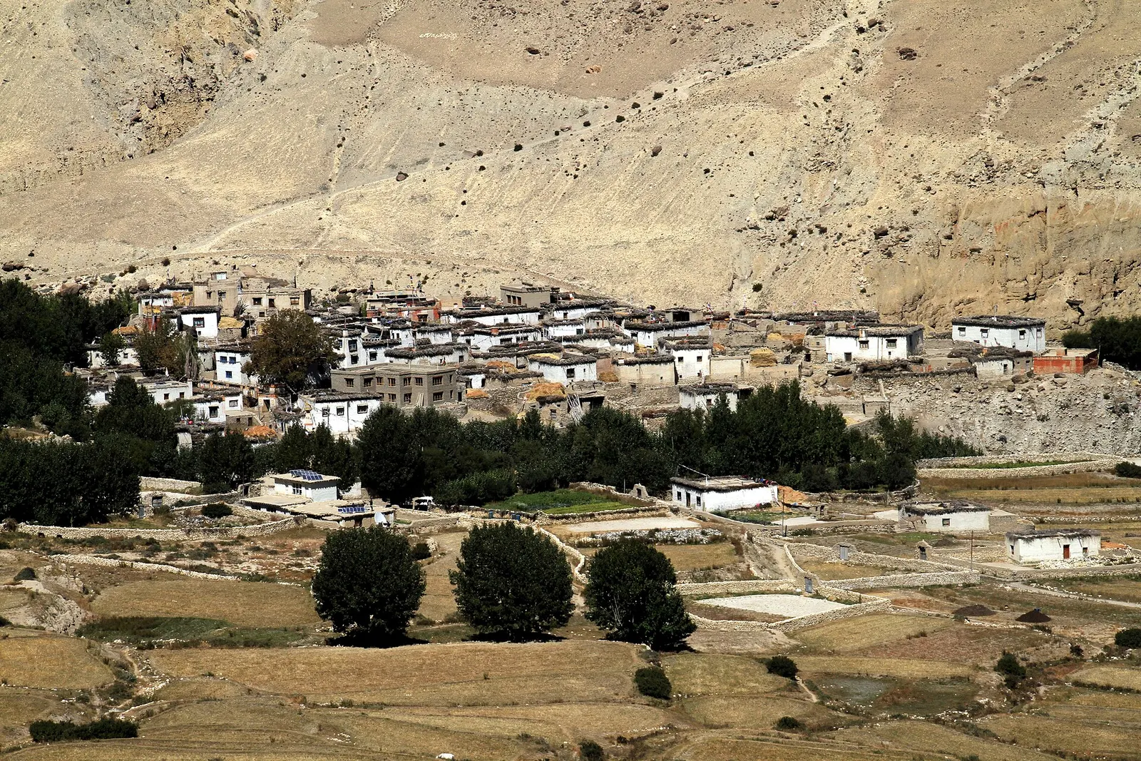
A remote camping traverse from Juphal up the Tarap valley to Dho Tarap, east over high passes to Chharka Bhot, and over the Sangda La into Mustang to finish at Jomsom.
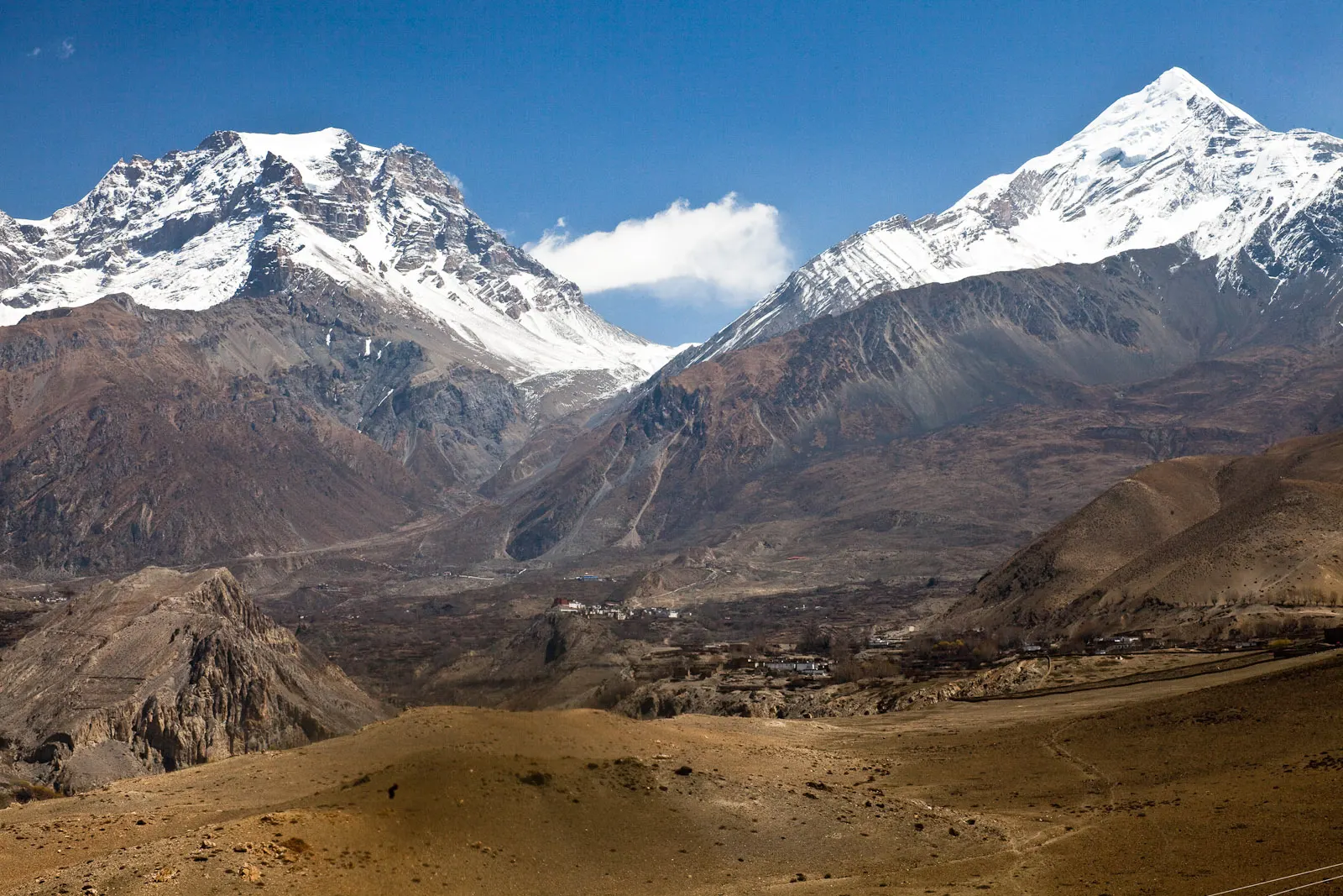
A short trek in Lower Mustang from Jomsom via Kagbeni to the Muktinath temple (about 3,760 m) and back through Marpha, with flights from and to Pokhara.
A restricted-area trek north from Kagbeni through the eroded canyons of the former Kingdom of Lo to the walled town of Lo Manthang, returning via Lo Gekar and Dhakmar.
Take the morning flight of roughly 20-25 minutes, or travel by bus and jeep via Beni in about 7-10 hours.
A strong wind blows up the Kali Gandaki valley from late morning, making landings and take-offs unsafe later in the day.
Yes, an Annapurna Conservation Area permit. A restricted area permit is only needed if you continue north of Kagbeni into Upper Mustang.
About 2,740 m. Most people feel fine, but it is sensible to rest before going higher to Muktinath at around 3,760 m.
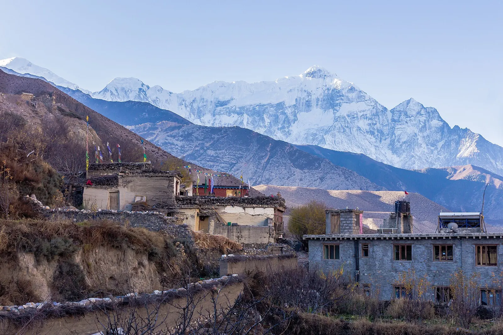
Town or village · 2,804 m
A medieval mud-brick village at the confluence of two rivers, the gateway between Lower and Upper Mustang.
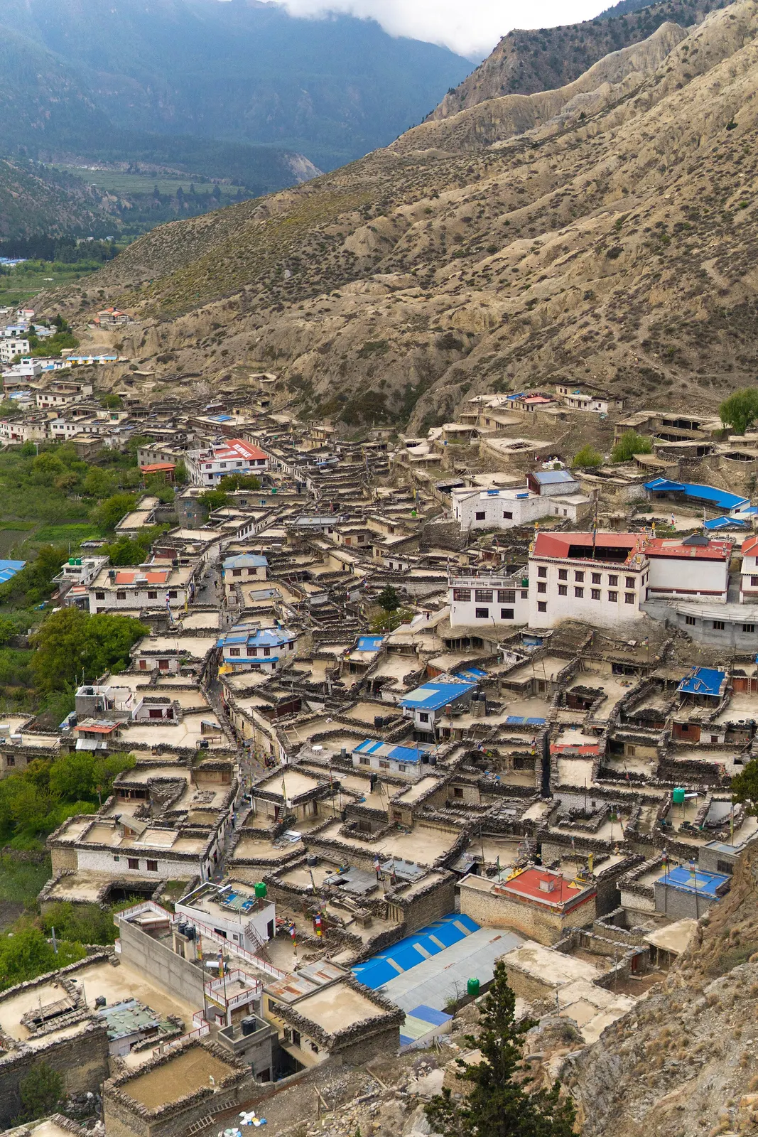
Town or village · 2,670 m
A Thakali village of whitewashed stone houses, flagstone lanes and apple orchards in the Kali Gandaki valley.
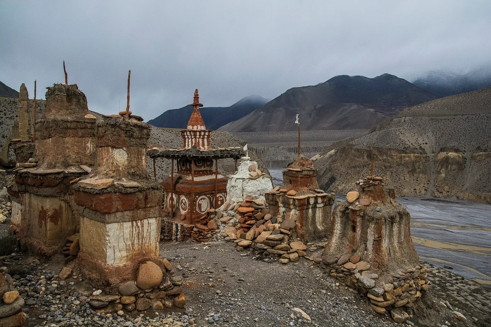
Valley or region
The old Kingdom of Lo: a dry, wind-carved valley of cave cliffs, red monasteries and walled villages north of Kagbeni.
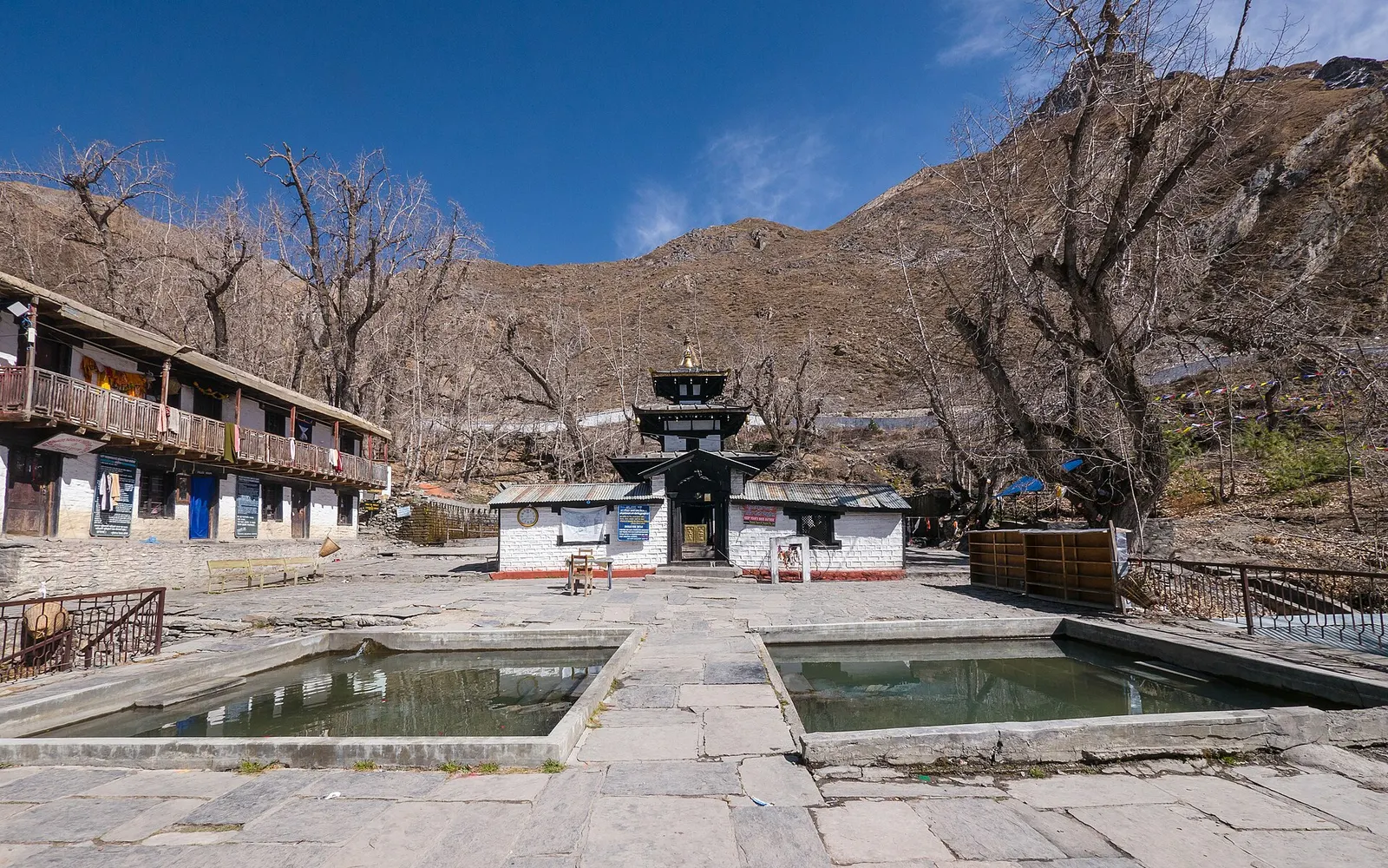
Temple, monastery or heritage site · 3,762 m
A high temple complex below the Thorong La, sacred to Hindus as Mukti Kshetra and to Buddhists as Chumig Gyatsa.
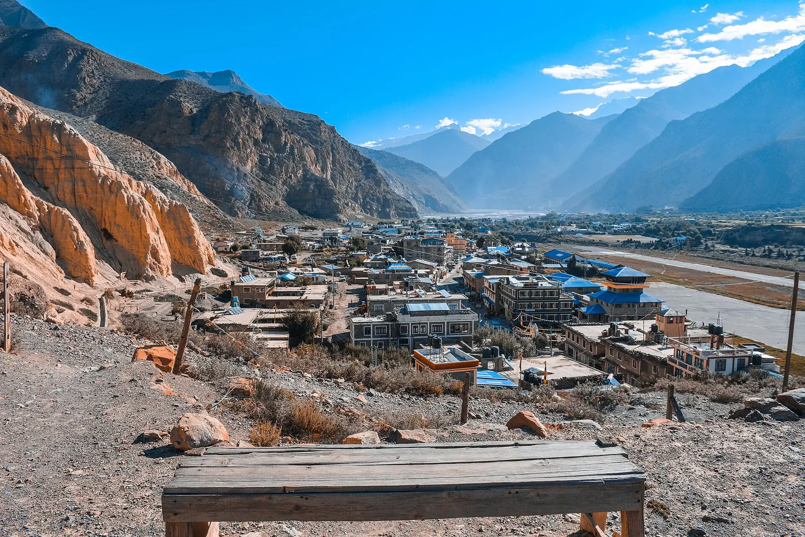
Valley or region
A trans-Himalayan district along the Kali Gandaki, from Thakali villages and apple orchards to the walled towns of the old Kingdom of Lo.
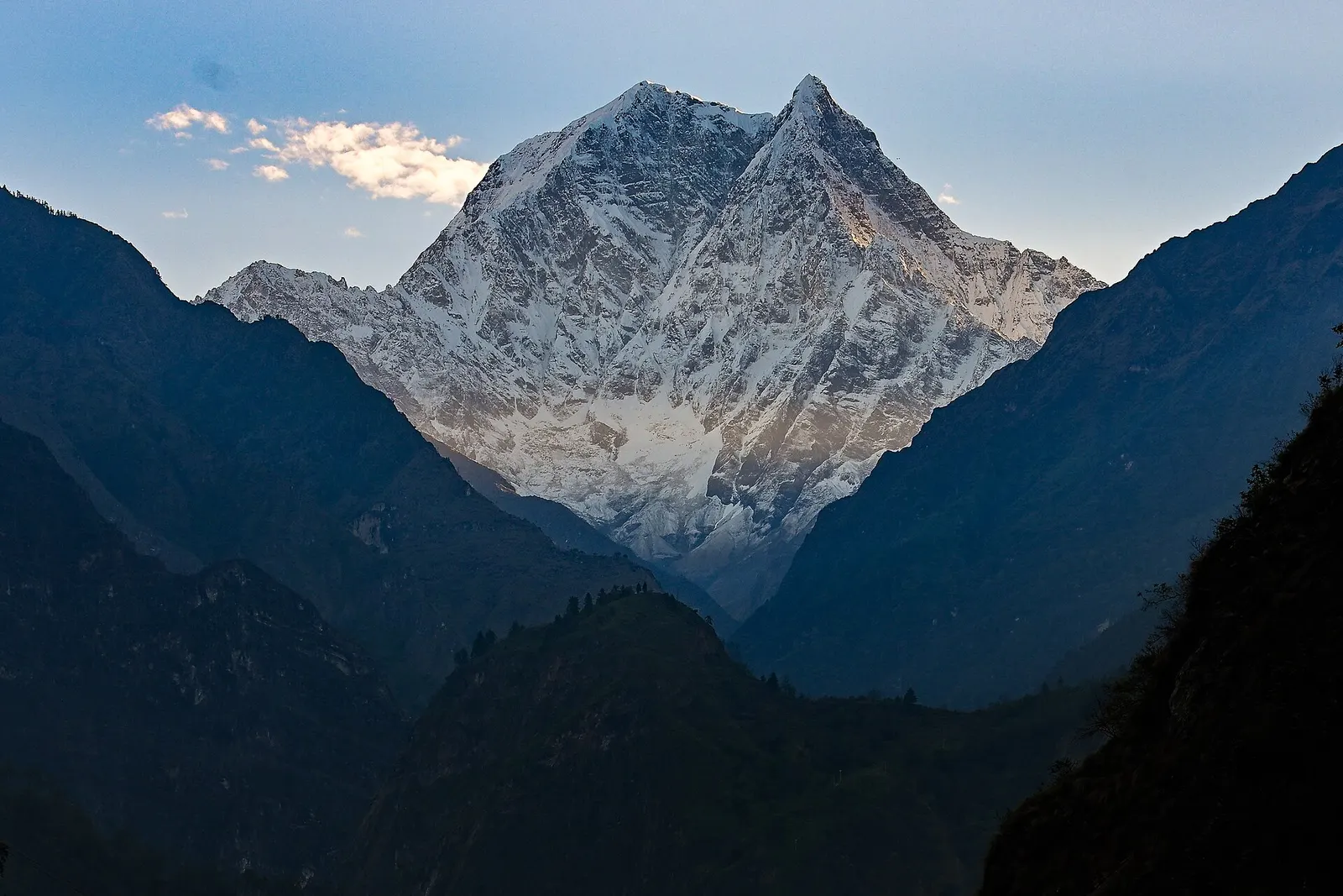
Trek stop · 1,200 m
A warm, low-lying village beside the Kali Gandaki, known for the hot springs by the river and as the junction for the climb to Ghorepani.