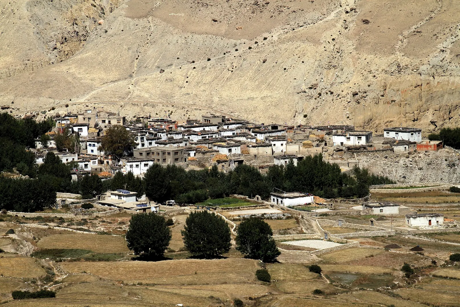
A restricted-area trek north from Kagbeni through the eroded canyons of the former Kingdom of Lo to the walled town of Lo Manthang, returning via Lo Gekar and Dhakmar.
- Days
- 12 days
- Maximum altitude
- 4,325 m
- Difficulty
- Moderate
A small village in poplar groves above the Kali Gandaki, on the climb from Chele towards Ghami in Upper Mustang.
This is Samar in Upper Mustang, a trek stop on the way to Lo Manthang, not the island of Samar in the Philippines.
Higher seasonal exposure: road blockages (Jun-Sep), other (Jun-Sep), cold (Dec-Feb).
Samar is a small village at about 3,600-3,660 m in Upper Mustang, tucked into a side valley with poplar and willow trees above the Kali Gandaki gorge. It lies on the main trekking route north to Lo Manthang, reached from Chele after a climb over a ridge with views back to Nilgiri and the Annapurnas.
Many itineraries stop here for a night, or for lunch on the way to Syangboche or Ghami. A side trail leads to the cave shrine of Rangchyung, a short excursion from Samar. The village is entered past a gateway chorten and a small shrine with prayer flags.
Samar lies in the old Kingdom of Lo, which was absorbed into Nepal in the late 18th century but kept a local king until 2008. Its people are Tibetan Buddhist, and the village grew as a halt for caravans and herders on the salt and wool route between Tibet and the Kali Gandaki. The Rigsum Gonpo shrine at the village entrance is decorated with prayer flags, and the nearby Rangchyung cave is regarded as a sacred site linked to Padmasambhava.
Visit Rangchyung cave
A side trail from Samar leads to a cave shrine said to contain a naturally formed chorten; allow a few hours there and back.
Walk on to Ghami via Syangboche
Continue over a series of ridges and passes to Syangboche and Ghami, a long but scenic day.
Forecast for 3,660 m. Conditions change fast in the mountains.
Weather data: MET Norway, licensed CC BY 4.0. A forecast, not a guarantee.
Mar-Nov
Reached on foot from Kagbeni via Chhusang and Chele in two days, or partly by jeep on the road to Lo Manthang.
Nearest hub: Jomsom
Nearest hub: Jomsom. Times are typical ranges, not schedules, and vary with roadworks, weather and the season.
By airfrom Pokharaabout 0.3-0.6 hJomsomoften delayed or cancelled by weather
Fly Pokhara to Jomsom in about 20 minutes, then continue north by jeep or on foot; morning flights only and often cancelled.
When to set off: Flights are scheduled in the early morning, when wind speeds in the gorge are lowest; keep a spare day in the plan.
By car or jeepfrom Jomsom
An unsealed jeep track runs north from Jomsom through the Kali Gandaki and over the ridges towards Lo Manthang; high-clearance vehicles are needed and river crossings and dust govern the pace. Because Upper Mustang lies in the rain shadow, the track itself stays usable through the monsoon, while the road up from Beni does not. No hour band is given for the Jomsom-Samar stage by the sources read, and the road does not pass through the village centre.
Road: Unsealed jeep track with river crossings; a 4WD or jeep is normally needed.
When to set off: Jeeps leave Jomsom in the morning for the run north.
By motorbikefrom JomsomExperienced riders only
The Upper Mustang track is unsealed, sandy and stony with river crossings, and a restricted-area permit is needed; experienced riders only.
Road: Unsealed, sandy and stony jeep track with river crossings and strong afternoon winds.
When to set off: Start early; afternoon wind and dust make the valley hard going.
On footfrom Chhusangabout 3-7 hAbout 3-4 hours from Chele with a steep climb out of the Kali Gandaki, or 5-7 hours from Chhusang.
Walkers climb out of the gorge at Chele and up to Samar at about 3,660 m; the trail leaves the jeep track in places.
Restricted-area permit
Samar is inside the Upper Mustang restricted area: a restricted-area permit through a registered agency and an ACAP permit are required. Restricted-area permits are issued only through a government-registered trekking agency, for trekkers with a licensed guide; a minimum group of two has long been required, and changes have been reported, so confirm the current rule.
Verify before travel: permit rules and fees change. Checked 2026-10-06 against Department of Immigration, Nepal: Trekking Route and Permit Fee.
On the Upper Mustang Trek.
What this place is typically exposed to, and when. These are seasonal patterns, not a report on conditions now.
Road blockageshigh in a typical yearJun-Sep
The approach road below Jomsom is the weak link: the Beni-Tatopani-Ghasa gorge section is prone to landslide and flood blockages in the monsoon, while it is generally straightforward from about October to May.
Otherhigh in a typical yearJun-Sep
Monsoon cloud over Pokhara and the gorge frequently delays or cancels the Jomsom flight; the airstrip is below the minimum for visual approaches roughly 15 per cent of the year, so spare days matter.
Coldhigh in a typical yearDec-Feb
Winter temperatures in Upper Mustang fall to around -25 C or lower and many residents move to lower ground for the season, so Samar is cold and thinly served from December to February.
Altitudemoderate in a typical yearAll year
Samar sits at about 3,660 m, well above the roughly 2,500 m at which altitude sickness becomes common, and most itineraries go higher still. General information, not medical advice: gain height slowly (a common guideline is no more than about 300 m a day in sleeping altitude once high), learn the symptoms, descend if they get worse, see a doctor before travelling, and carry insurance that covers helicopter evacuation.
Snowmoderate in a typical yearNov-Apr
Snow can lie on the ridge passes of the Upper Mustang route between about 3,800 m and 4,200 m from late autumn into spring, slowing jeeps and walkers.
Othermoderate in a typical yearMar-Oct
The Kali Gandaki valley is known for gusty up-valley winds that build from late morning; walking and riding are much easier before midday.
Landslideslow in a typical yearJun-Sep
Upper Mustang lies in the rain shadow of Annapurna and Dhaulagiri and gets only about 250-400 mm of precipitation a year, so local landslide exposure in the monsoon is low.
Check current conditions before you travel
Roads, trails, passes and flights change with the weather and with roadworks, and nothing on this page describes conditions today. Before you set off, check the Department of Hydrology and Meteorology for weather and flood warnings, the Nepal Disaster Risk Reduction Portal for incidents, and the local authority, police or your licensed operator for road, trail and flight status.
A restricted-area trek north from Kagbeni through the eroded canyons of the former Kingdom of Lo to the walled town of Lo Manthang, returning via Lo Gekar and Dhakmar.
In Upper Mustang, on the trekking route between Chele and Ghami, about two days' walk north of Kagbeni.
Yes, an Upper Mustang restricted-area permit through a registered agency, plus an ACAP permit.
About 3,600-3,660 m.
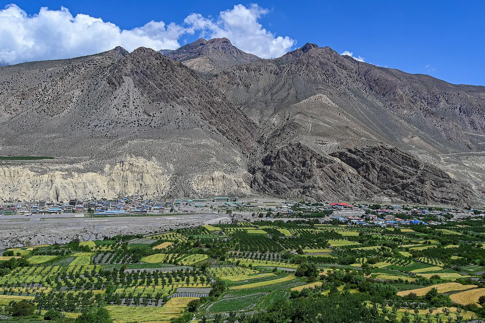
Town or village · 3,840 m
The walled former capital of the Kingdom of Lo, with a royal palace and monasteries from the 15th century.
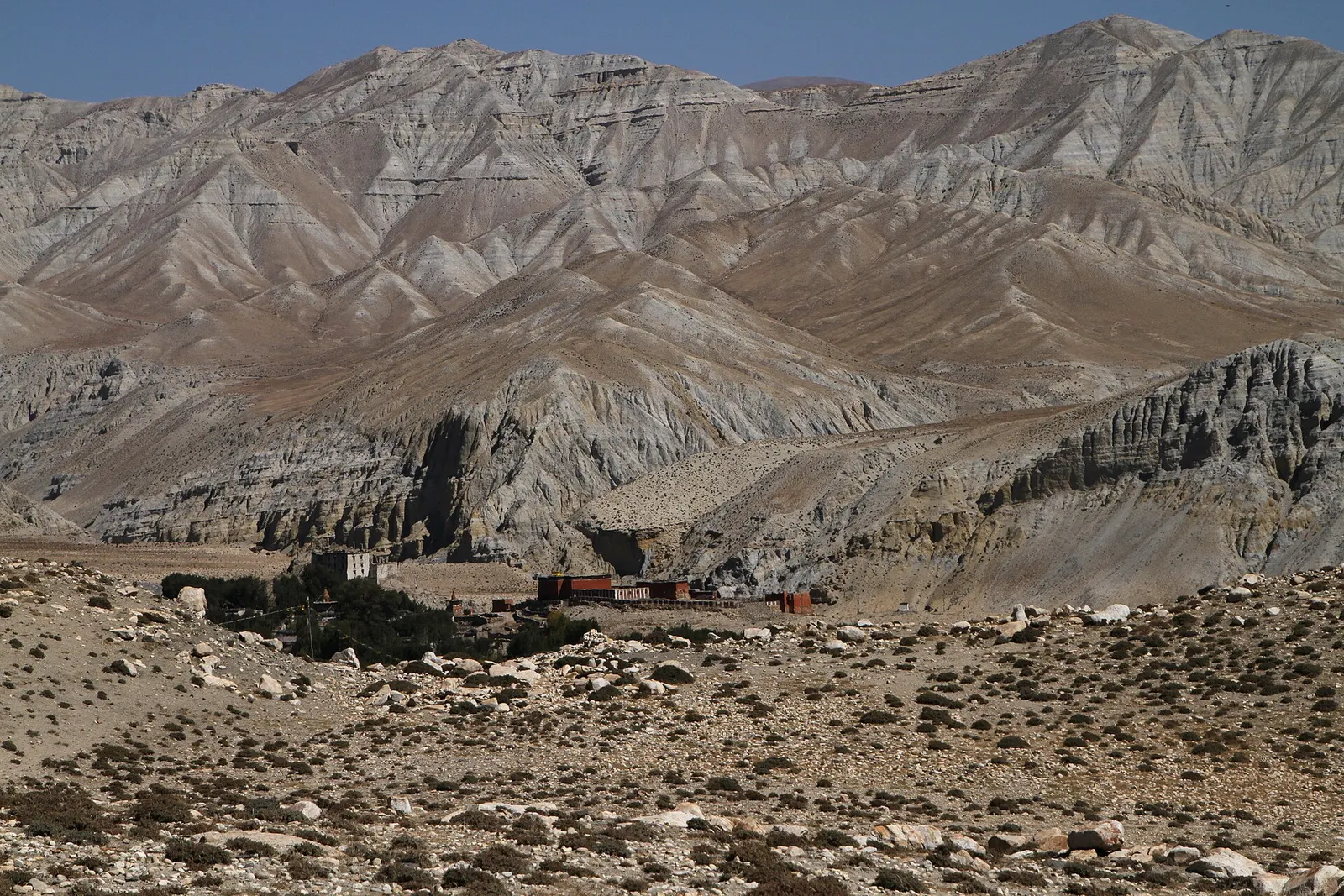
Trek stop · 3,560 m
A large Upper Mustang village on the edge of a canyon, with an old fort-palace and a red Sakya monastery.
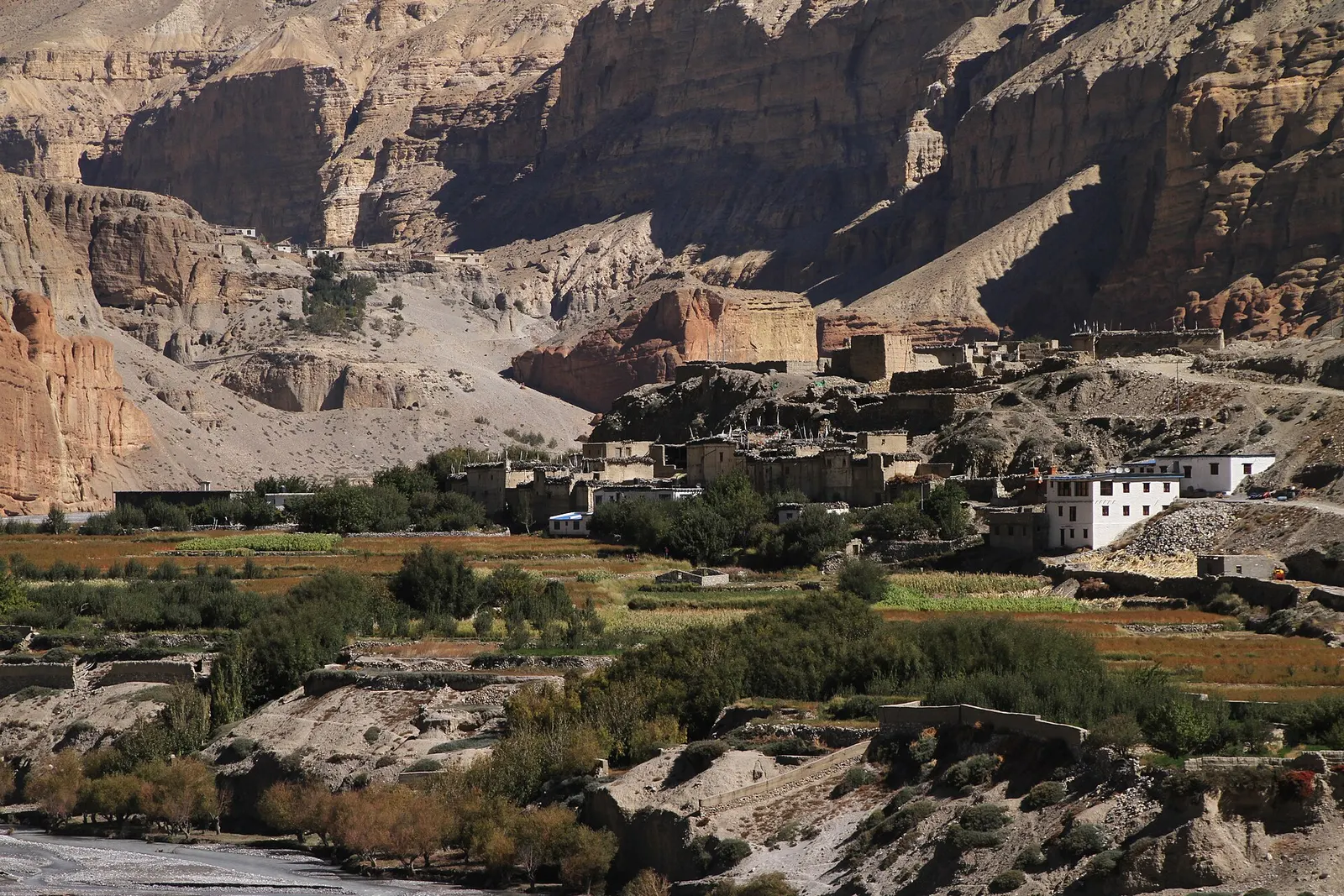
Trek stop · 2,980 m
A farming village of three hamlets beneath red cave-riddled cliffs, usually the first night inside Upper Mustang.
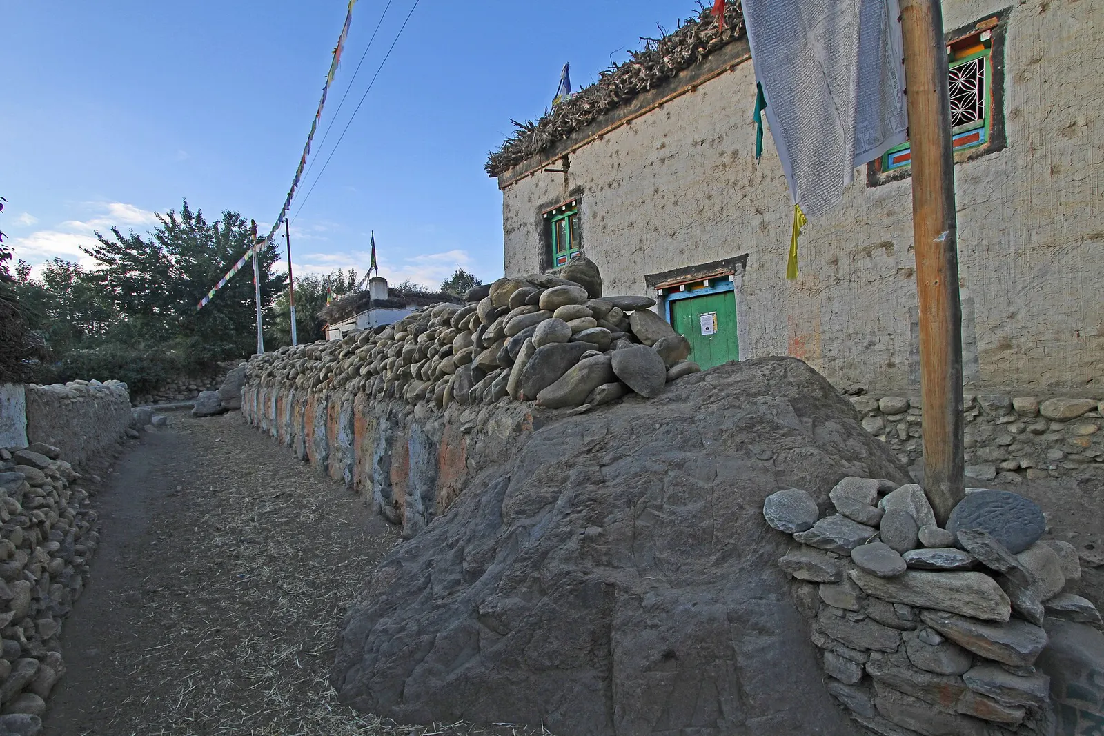
Trek stop · 3,520 m
A large whitewashed village in Upper Mustang, below eroded cliffs and next to a long mani wall of carved prayer stones.
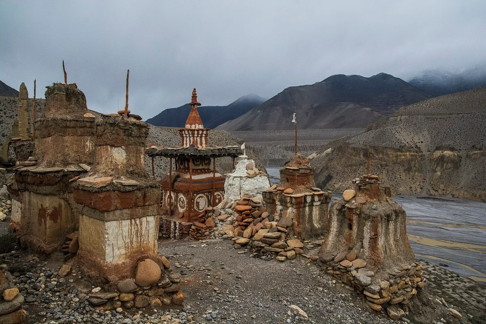
Valley or region
The old Kingdom of Lo: a dry, wind-carved valley of cave cliffs, red monasteries and walled villages north of Kagbeni.
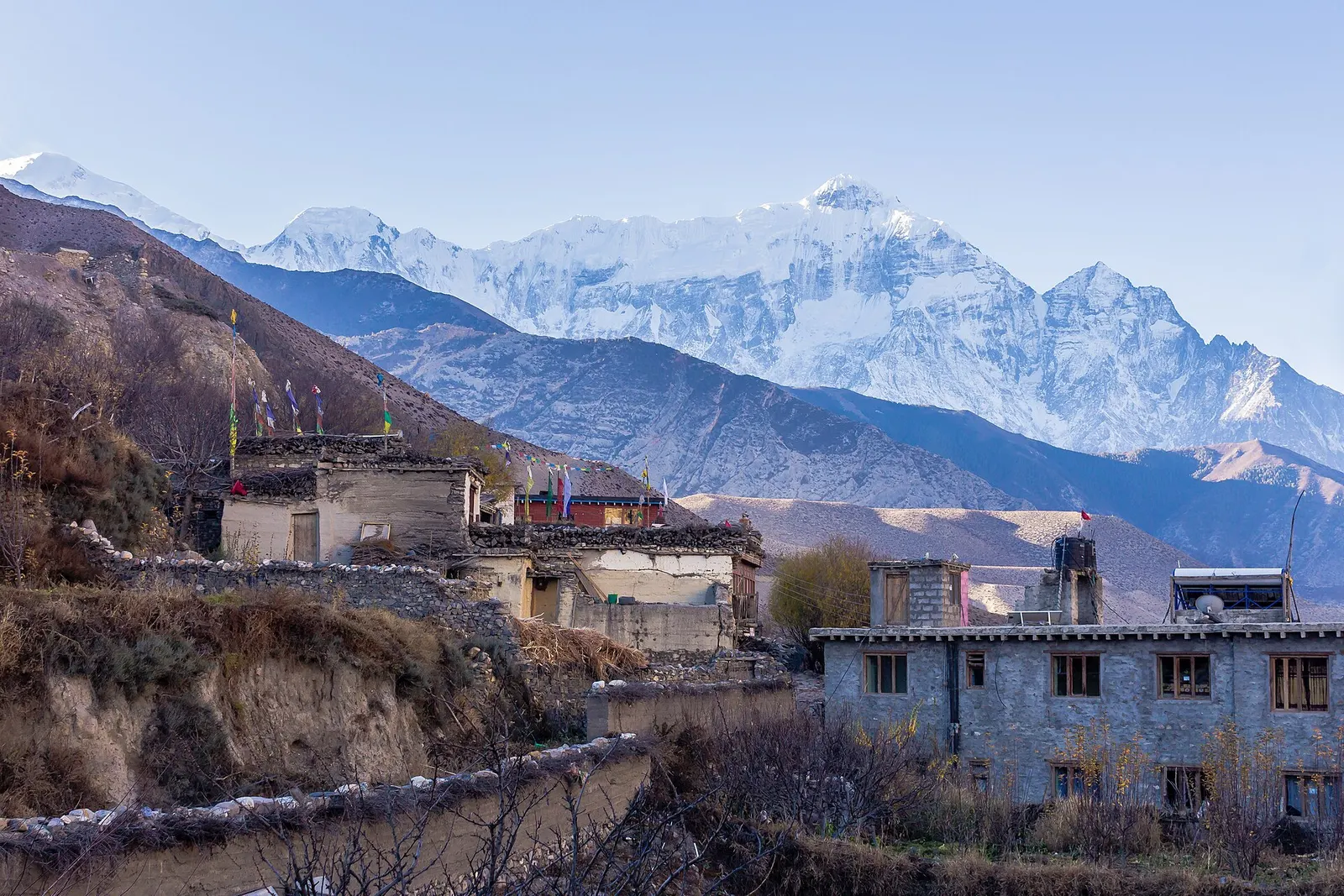
Town or village · 2,804 m
A medieval mud-brick village at the confluence of two rivers, the gateway between Lower and Upper Mustang.