
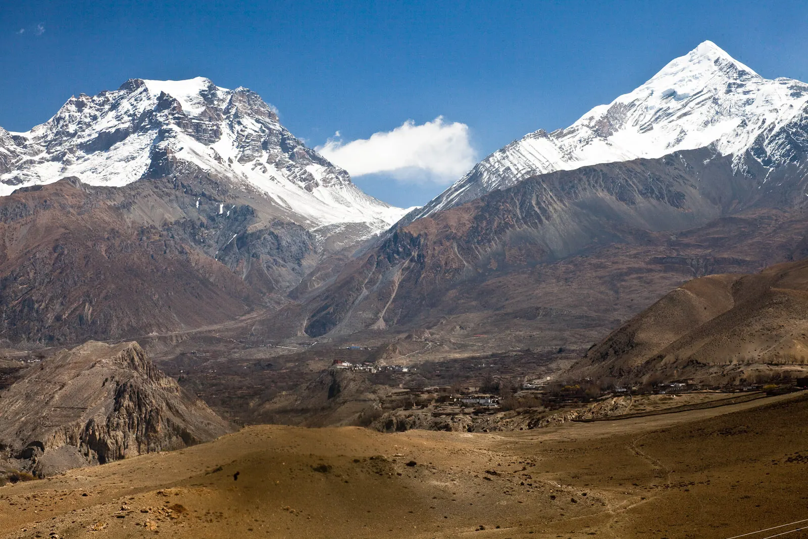
A short trek in Lower Mustang from Jomsom via Kagbeni to the Muktinath temple (about 3,760 m) and back through Marpha, with flights from and to Pokhara.
- Days
- 5 days
- Maximum altitude
- 3,762 m
- Difficulty
- Moderate
Mustang & Trans-Himalaya, Upper Mustang
A restricted-area trek north from Kagbeni through the eroded canyons of the former Kingdom of Lo to the walled town of Lo Manthang, returning via Lo Gekar and Dhakmar.
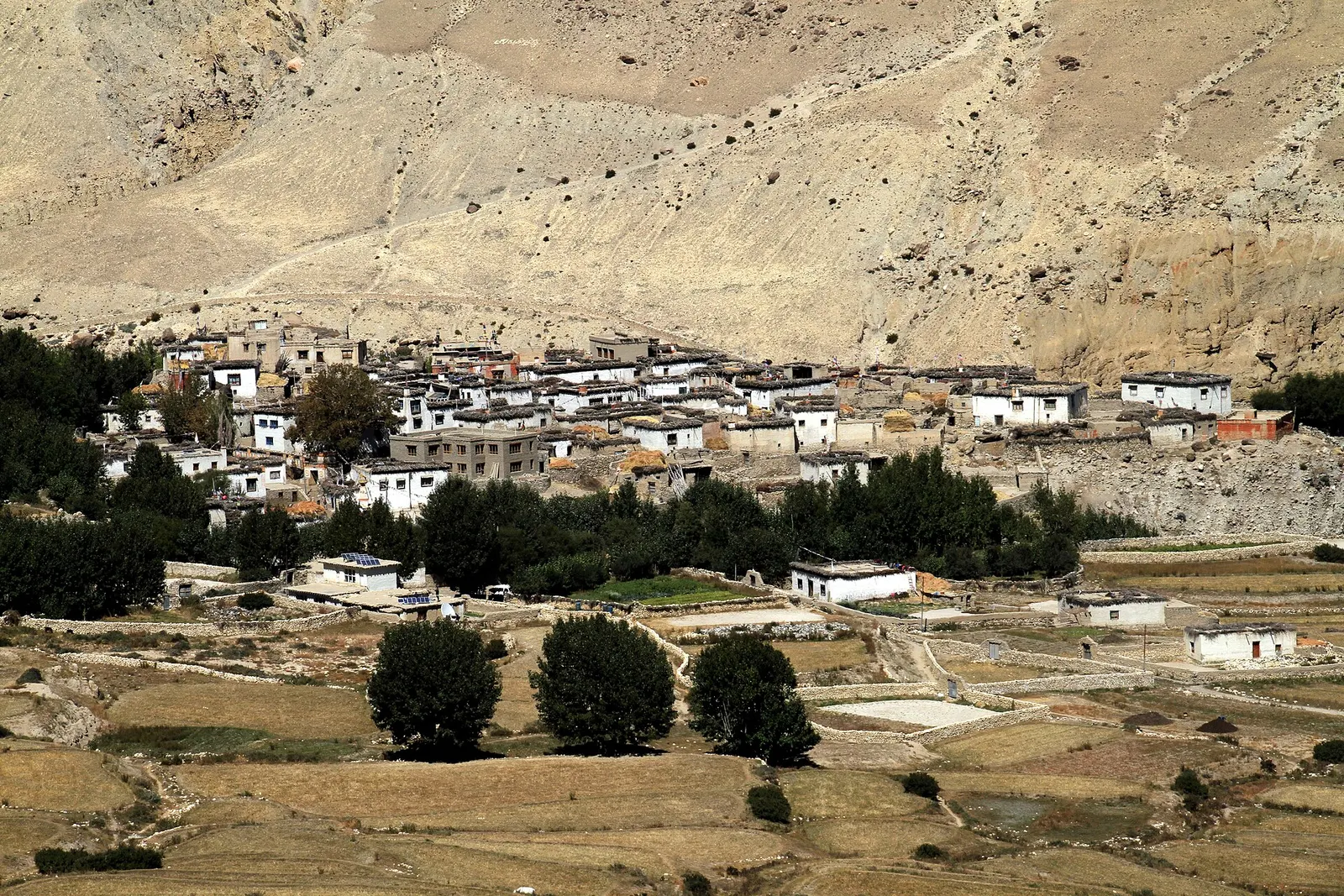
Upper Mustang, the former Kingdom of Lo, is a high, dry land of eroded cliffs, cave dwellings and whitewashed villages north of Kagbeni, in the rain shadow of the Himalaya. It was closed to outsiders until 1992 and is still a restricted area. The trek follows the old trade route up the Kali Gandaki to Lo Manthang, a walled town founded in the late 14th century.
The plan below walks north through Chele, Samar, Ghami and Charang, spends a full day around Lo Manthang, and returns on the eastern side via the old monastery of Lo Gekar (Ghar Gompa) and the red cliffs of Dhakmar. A jeep road now reaches Lo Manthang, and many groups drive part of the way; walking routes away from the road remain on much of the itinerary.
Altitudes are moderate for a Himalayan trek, mostly 3,000-4,000 m, but the wind, dust, sun and cold nights make it demanding, and the permit cost is high.
Why it is rated moderate
Sleeping altitude for each night. The dashed lines at 3,000 m and 4,000 m mark heights where altitude illness becomes more common. General information only, not medical advice.
Hover, tap or use the arrow keys to see each day. Shaded columns are acclimatisation days.
| Day | Overnight | Sleeping altitude | High point |
|---|---|---|---|
| 1 | Kagbeni | 2,810 m | - |
| 2 | Chele | 3,050 m | - |
| 3 | Samar | 3,660 m | - |
| 4 | Ghami | 3,520 m | 4,010 m |
| 5 | Charang | 3,560 m | - |
| 6 | Lo Manthang | 3,840 m | 3,950 m |
| 7 | Lo Manthang (rest) | 3,840 m | - |
| 8 | Dhakmar | 3,820 m | 4,325 m |
| 9 | Ghiling | 3,570 m | - |
| 10 | Chhusang | 2,980 m | - |
| 11 | Jomsom | 2,720 m | - |
| 12 | Pokhara | 822 m | - |
An early flight to Jomsom, then up the Kali Gandaki riverbed to Kagbeni, where the restricted area begins. Permits are checked here.
Teahouse in KagbeniAbout Kagbeni
North along the Kali Gandaki past Tangbe and Chhusang, with cave dwellings in the cliffs, then a short climb to Chele. Much of the day is on or near the road.
Teahouse in Chele
A steep climb along the edge of a gorge and over a ridge with views back to Nilgiri, then down into the poplar groves of Samar.
Teahouse in SamarAbout Samar
Over a series of ridges via Syangboche and the Nyi La to the whitewashed village of Ghami below eroded cliffs.
Teahouse in GhamiAbout Ghamihigh point Nyi La, 4,010 m
Past the long mani wall south of Ghami and over a pass to Charang, with its large monastery and old palace above the gorge.
Teahouse in CharangAbout Charang
A steady climb to the Lo La, from where Lo Manthang appears on its plain, then down to the gate of the walled town. Permits are checked again.
Teahouse in Lo ManthangAbout Lo Manthanghigh point Lo La, 3,950 m
Visit the old monasteries and palace inside the walls, or walk or ride to the caves of Chhoser north of the town. A separate entrance fee applies at some sites.
Teahouse in Lo ManthangAbout Lo Manthang
The eastern return route crosses the Chogo La to the old monastery of Lo Gekar (Ghar Gompa) and the Mui La before descending to Dhakmar under red cliffs.
Teahouse in Dhakmarhigh point Chogo La, 4,325 m
Back over a ridge to rejoin the main trail near Ghami, then on to the village of Ghiling (Geling) with its monastery and fields.
Teahouse in Ghiling
Down past Syangboche and Samar and back into the Kali Gandaki valley to Chhusang.
Teahouse in ChhusangAbout Chhusang
Walk back via Kagbeni, a long and windy day, or take a jeep for part or all of the way.
Teahouse in JomsomAbout Jomsom
An early morning flight of about 20 minutes. Flights are often delayed, so keep a spare day; the road takes most of a day.
Hotel in PokharaAbout Pokhara
Stages, times and altitudes vary by operator, weather and pace. Partner agencies confirm the exact plan.
Approximate route drawn through the overnight stops.
Upper Mustang restricted-area permitRestricted area
Issued by the Department of Immigration through a registered agency. Its fee table lists Upper Mustang (Lomanthang, Lo-Ghekar Damodarkunda and parts of Baragung Muktichhetra rural municipalities) at USD 50 per person per day. The permit is checked at Kagbeni and Lo Manthang.
ACAP entry permit (Annapurna Conservation Area)Conservation area
Issued at the Nepal Tourism Board permit counters in Kathmandu and Pokhara or through your agency; checked at trail checkpoints.
TIMS cardTrekker card
Check whether a TIMS card is currently required; since 2023 it has been issued through registered trekking agencies.
Restricted area
Restricted-area permits are issued only through a government-registered trekking agency, for trekkers accompanied by a licensed guide; the rules have long required a minimum group of two trekkers, and changes have been reported, so confirm the current rule with the Department of Immigration or a licensed agency.Verify before travel: permit rules and fees change. Checked 2026-10-06 against Department of Immigration, Nepal: Trekking Route and Permit Fee. Guide rule: The National: Nepal bans solo trekking for tourists, guides mandatory from April 1 (March 2023).
Nepal trekking permits explainedBest months: Apr-Nov
Nearest hub: Jomsom. Times are typical ranges, not schedules, and vary with roadworks, weather and the season.
By airfrom Pokharaabout 0.3-0.6 hJomsomoften delayed or cancelled by weather
Fly Pokhara to Jomsom in about 20 minutes, then take a jeep or walk the 8-12 km north to Kagbeni. Flights are early-morning only because the gorge wind builds during the day.
When to set off: Flights are scheduled in the early morning, when wind speeds in the gorge are lowest; keep a spare day in the plan.
By busfrom Jomsomabout 0.5-1 hLocal buses
Short local service north along the Kali Gandaki; in the monsoon the long leg from Pokhara up to Jomsom is the uncertain part, not this stage.
When to set off: Local buses and shared jeeps run through the morning from Jomsom.
By car or jeepfrom Jomsomabout 0.5-1 h
A short jeep run north from Jomsom on the riverbed road; the Upper Mustang checkpoint is at the north end of the village.
Road: Unsealed riverbed road; a jeep is normal, and river levels govern the line taken.
By motorbikefrom Jomsomabout 0.5-1 hModerate riding
Short and manageable on a trail bike, but the surface is loose riverbed gravel and the wind is strong by afternoon.
Road: Loose gravel and sand on the riverbed road, with strong afternoon headwinds.
When to set off: Ride in the morning, before the valley wind builds.
On footfrom Jomsomabout 2.5-4 hAbout 3 hours north along the Kali Gandaki riverbed, roughly 8-12 km with very little height gain.
The classic approach, walking up the broad braided riverbed from Jomsom; start early because of the wind.
Typical seasonal exposure along the route, merged from the stops that have a place page. Seasonal patterns only, never conditions today.
Landslideshigh in a typical yearJun-Sep
Kagbeni is dry in the monsoon, but the road in from Beni through the Kali Gandaki gorge is prone to landslides and flooding from June to September.
Recorded for Upper Mustang, Kagbeni, Samar, Ghami and 4 more. Jomsom, Wikivoyage
Road blockageshigh in a typical yearJun-Sep
The approach road below Jomsom is the weak link: the Beni-Tatopani-Ghasa gorge section is prone to landslide and flood blockages in the monsoon, while it is generally straightforward from about October to May.
Recorded for Upper Mustang, Samar, Ghami, Charang and 3 more. Jomsom, Wikivoyage
Otherhigh in a typical yearAll year
Monsoon cloud over Pokhara and the gorge frequently delays or cancels the Jomsom flight; the airstrip is below the minimum for visual approaches roughly 15 per cent of the year, so spare days matter.
Recorded for Upper Mustang, Kagbeni, Samar, Ghami and 4 more. Jomsom Airport, Wikipedia
Altitudehigh in a typical yearAll year
Settlements lie between about 2,750 m and 3,900 m and the route crosses passes of 3,800-4,200 m, with the Kora La on the border at 4,660 m. Altitude sickness becomes common above roughly 2,500 m. General information, not medical advice: gain height slowly (a common guideline is no more than about 300 m a day in sleeping altitude once high), learn the symptoms, descend if they get worse, see a doctor before travelling, and carry insurance that covers helicopter evacuation.
Recorded for Upper Mustang, Samar, Ghami, Charang and 2 more. Altitude sickness, Wikipedia
Coldhigh in a typical yearDec-Feb
Winter temperatures in Upper Mustang fall to around -25 C or lower and many residents move to lower ground for the season, so Upper Mustang is cold and thinly served from December to February.
Recorded for Upper Mustang, Kagbeni, Samar, Ghami and 4 more. Upper Mustang, Wikipedia
Snowmoderate in a typical yearNov-Apr
Snow can lie on the ridge passes of the Upper Mustang route between about 3,800 m and 4,200 m from late autumn into spring, slowing jeeps and walkers.
Recorded for Upper Mustang, Samar, Ghami, Charang and 1 more. Upper Mustang, Wikipedia
Check current conditions before you travel
Nothing here describes the Upper Mustang Trek today. Trail, road, pass and flight conditions change with the weather and with roadworks. Check the Department of Hydrology and Meteorology, the Nepal Disaster Risk Reduction Portal and the local authority or your licensed operator before and during the trek.
Forecasts for start (Kagbeni, 2,810 m), highest overnight (Lo Manthang, 3,840 m), end (Pokhara, 822 m). Mountain weather changes fast; check again on the day.
Forecast for 2,810 m. Conditions change fast in the mountains.
Weather data: MET Norway, licensed CC BY 4.0. A forecast, not a guarantee.
Forecast for 3,840 m. Conditions change fast in the mountains.
Weather data: MET Norway, licensed CC BY 4.0. A forecast, not a guarantee.
Forecast for 822 m. Conditions change fast in the mountains.
Weather data: MET Norway, licensed CC BY 4.0. A forecast, not a guarantee.
A day trip north of Lo Manthang to cliff caves and the cave monastery of Nyiphu.
Before or after the trek, visit the Muktinath temple above Kagbeni.
Very experienced trekkers can link Upper Mustang with Dolpo over high passes, a long camping expedition.
The Department of Immigration fee table read on 6 October 2026 lists USD 50 per person per day. Fees and minimum periods have changed before, so check the current rule with a registered agency.
Yes. It is a restricted area, so the permit is issued only through a registered agency for trekkers with a licensed guide.
Lo Manthang is about 3,800-3,840 m, and passes on the route reach about 4,000-4,300 m.
Yes. Mustang lies in a rain shadow, so June to August is a good time, although roads and flights further south can be disrupted.
Yes, a jeep road now reaches Lo Manthang. Many itineraries still walk on trails away from the road for much of the way.
A short trek in Lower Mustang from Jomsom via Kagbeni to the Muktinath temple (about 3,760 m) and back through Marpha, with flights from and to Pokhara.
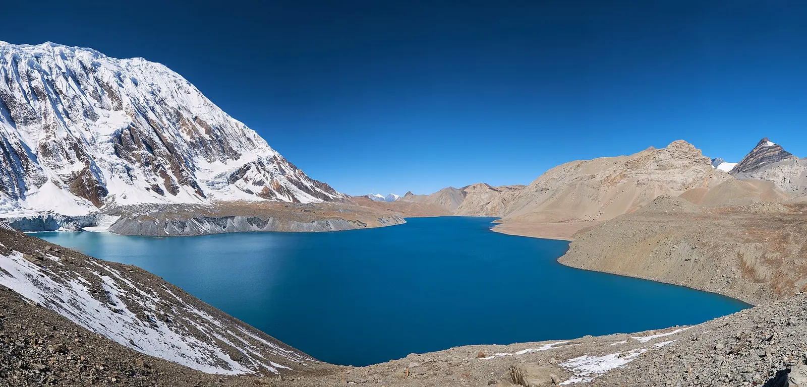
A teahouse journey around the Annapurna massif, from the green Marsyangdi valley through Manang and over the Thorong La (5,416 m) to Muktinath and the dry Kali Gandaki valley.
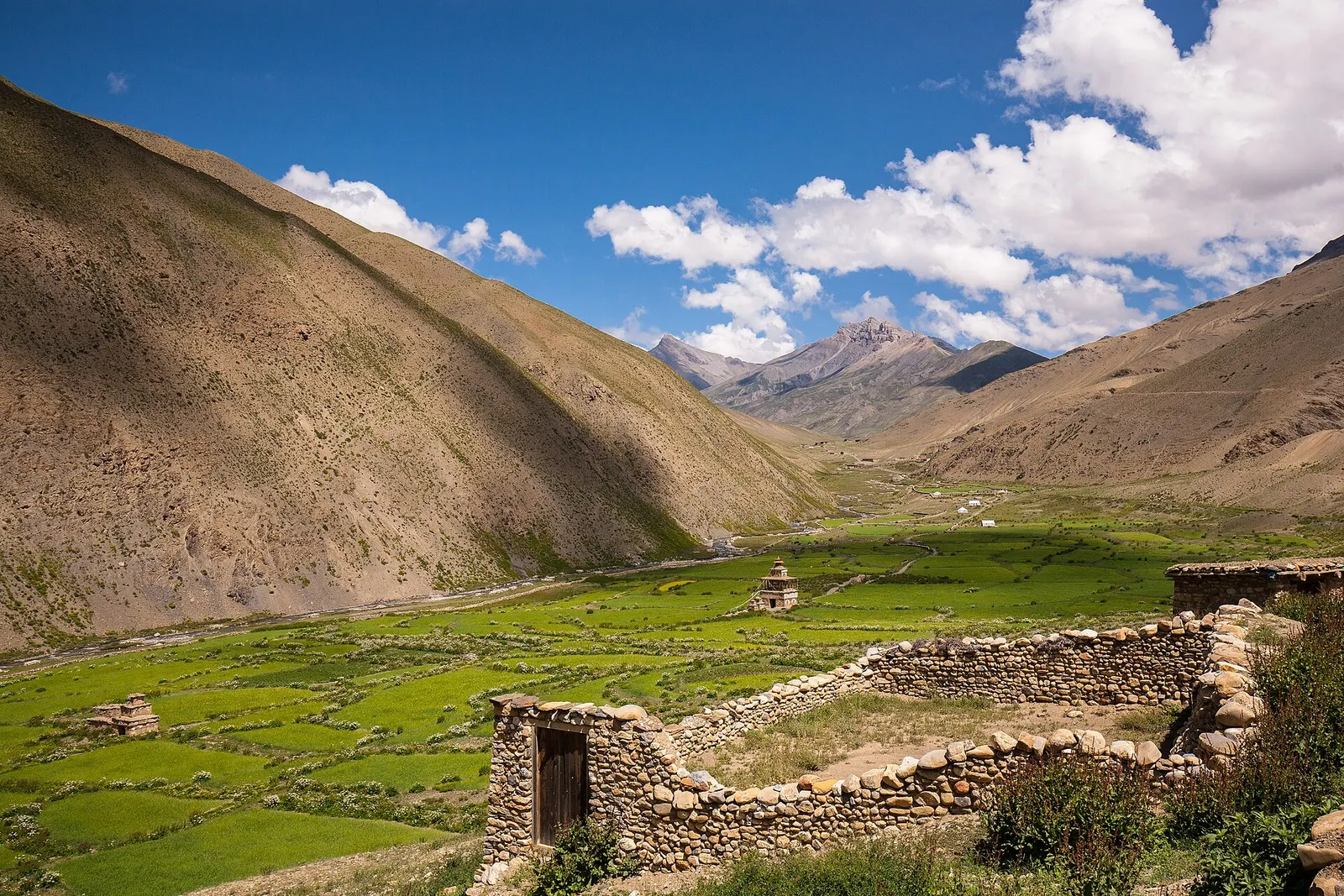
A remote camping traverse from Juphal up the Tarap valley to Dho Tarap, east over high passes to Chharka Bhot, and over the Sangda La into Mustang to finish at Jomsom.
Upper Mustang · 12 days