

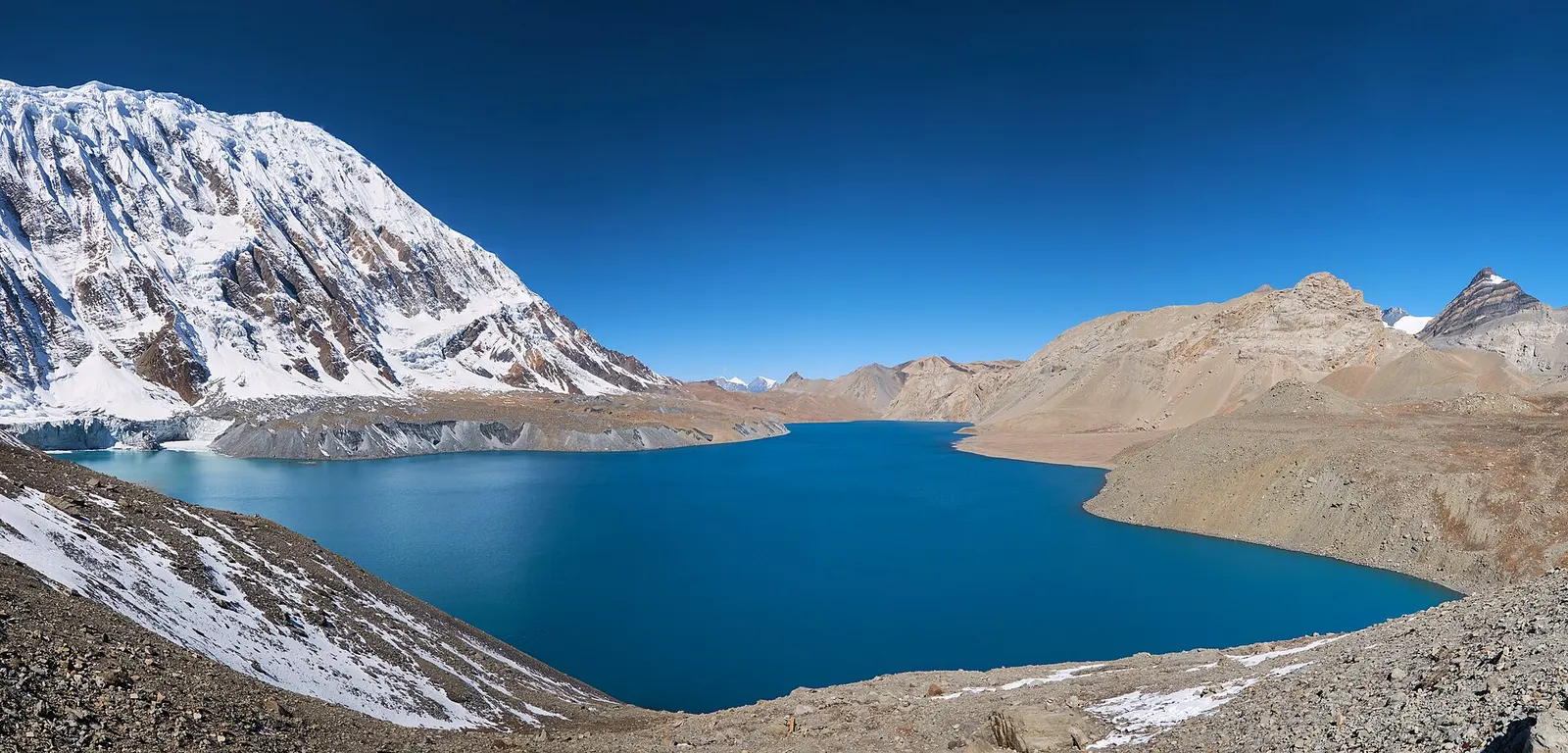
A teahouse journey around the Annapurna massif, from the green Marsyangdi valley through Manang and over the Thorong La (5,416 m) to Muktinath and the dry Kali Gandaki valley.
- Days
- 11 days
- Maximum altitude
- 5,416 m
- Difficulty
- Strenuous
Higher seasonal exposure: landslides (Jun-Sep), other (Jun-Sep), snow (Nov-Apr), cold (Dec-Feb).
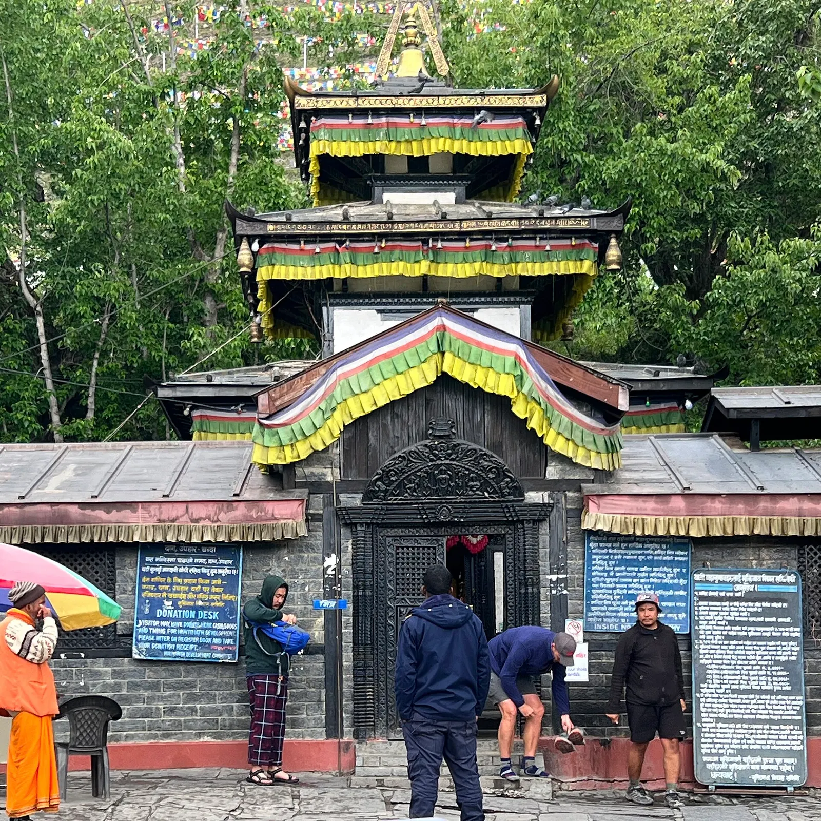
Muktinath is a temple complex at about 3,760 m at the head of the Jhong Khola valley in Mustang, below the Thorong La pass. Hindus know it as Mukti Kshetra, the place of liberation, and Buddhists as Chumig Gyatsa, 'hundred waters'. It is one of the most important pilgrimage sites in Nepal and draws large numbers of pilgrims from Nepal and India, as well as trekkers on the Annapurna Circuit.
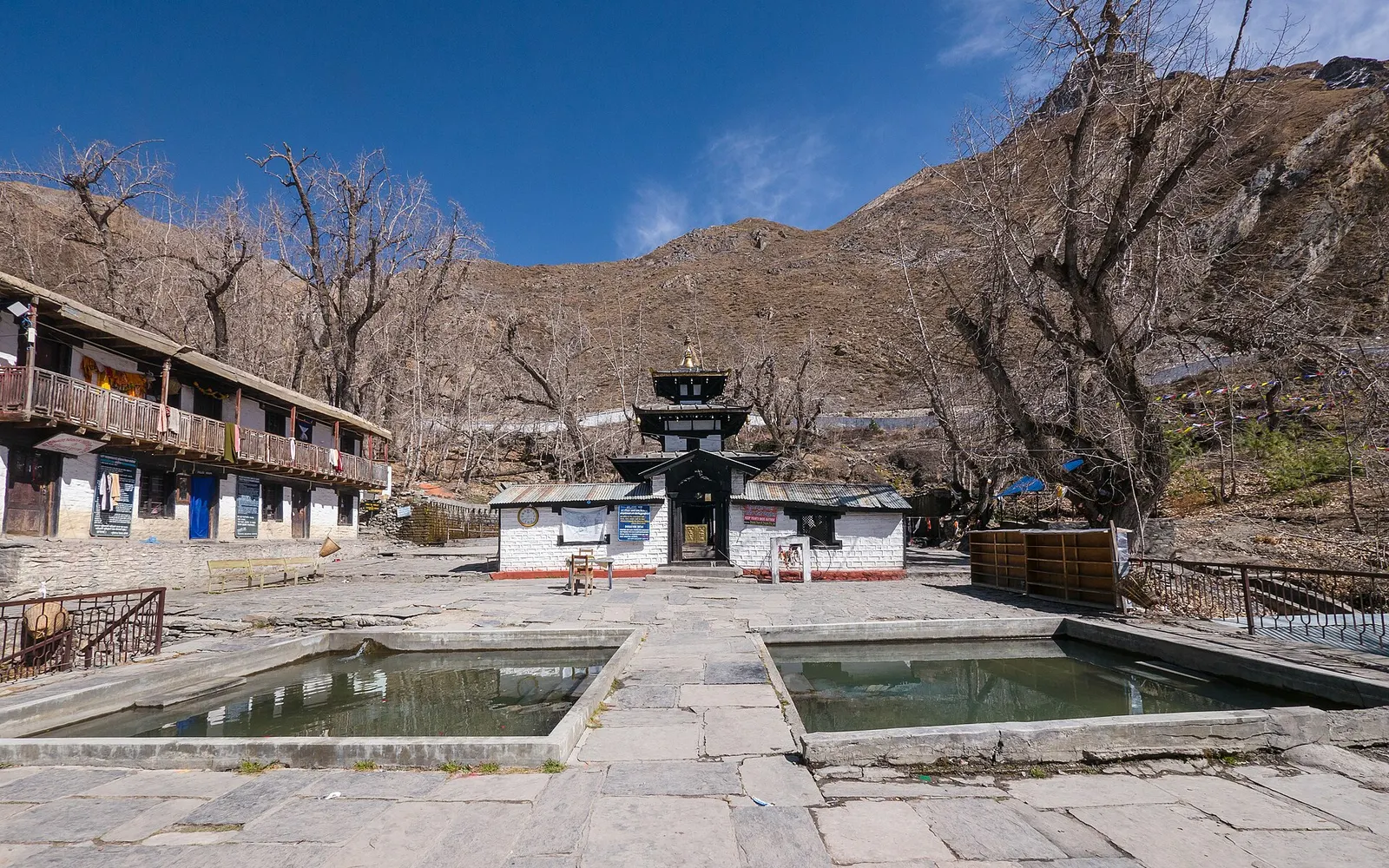
The main shrine is a small pagoda-style temple to Vishnu in a walled grove of trees. Behind it, 108 water spouts shaped as bull heads pour icy water that pilgrims run beneath, and in front of it are two ponds for ritual bathing. Nearby is the Jwala Mai shrine, where a small natural gas flame burns beside running water, an image of fire and water together that is central to the site's sacred status. Several Buddhist gompas sit within the complex.
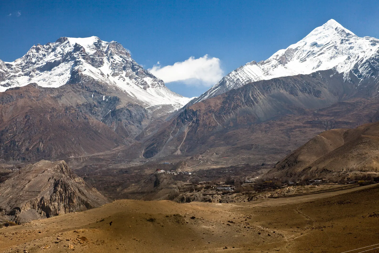
Pilgrims and visitors stay in Ranipauwa, the village of lodges a short walk below the temple gate. Within the Mustang destination, Muktinath is the high point of a short trip from Jomsom, reached by road via Kagbeni, and the first place trekkers reach after crossing the Thorong La from Manang. Views take in Dhaulagiri and the dry hills of the valley.
The story
Muktinath means 'lord of liberation'. Pilgrims say all the elements meet here: water from the 108 spouts, a flame that burns beside a spring, the earth and the sky above the high valley. Many believe bathing under all 108 spouts washes away the karma of past lives.
For Hindus, Muktinath is one of the Char Dham of Nepal and, in the Sri Vaishnava tradition, one of the 108 Divya Desam, the holy shrines of Vishnu praised by the Alvar poet-saints; Vishnu here is believed to have manifested himself. It is also counted among the Shakti pithas. The nearby Kali Gandaki is the source of shaligram stones, worshipped as forms of Vishnu. Muktinath is mentioned in the Gandaki Mahatmya of the Vishnu Purana tradition.
For Tibetan Buddhists it is one of the 24 tantric places, a dwelling of dakinis, and the main image is understood as Avalokiteshvara. Tradition holds that Guru Rinpoche (Padmasambhava) meditated here on his way to Tibet. Buddhist nuns help care for the main temple. A large fair is held at Muktinath around the full moon of Bhadra (August-September), when pilgrims come in large numbers.
Visit the temple and the 108 spoutsFree
A short walk up from Ranipauwa. Many pilgrims walk under all the spouts and bathe in the two pools. Donations are welcome.
Kali Gandaki fossil walkFree
Walk the riverbed near Kagbeni to look for shaligram, the black ammonite fossils that Hindus revere as forms of Vishnu. Look and photograph rather than collect.
Visit the temple complex
Walk up from Ranipauwa through the gate and steps, about 15-30 minutes, to the main temple, the water spouts and the ponds.
See Jwala Mai
Look for the small blue flame of natural gas burning beside a spring inside the Buddhist shrine near the main temple.
Walk to Jharkot
Walk down to the fortified village of Jharkot with its ruined dzong and gompa, about an hour away.
Walk down to Kagbeni
Follow the old trail down the Jhong Khola valley to Kagbeni in about 3-4 hours instead of driving.
Forecast for 3,762 m. Conditions change fast in the mountains.
Weather data: MET Norway, licensed CC BY 4.0. A forecast, not a guarantee.
Mar-May, Sep-Nov
Lodges in Ranipauwa village, a short walk below the temple.
Ranipauwa, below the temple, has many lodges and small hotels serving pilgrims and trekkers.
No partner stays are listed here yet. List a property.
Thakali sets with buckwheat, sea-buckthorn juice, and Mustang apples in season.
Most visitors fly or drive to Jomsom and continue by jeep or bus via Kagbeni; trekkers arrive over the Thorong La from Manang.
Nearest hub: Jomsom airport
Nearest hub: Jomsom. Times are typical ranges, not schedules, and vary with roadworks, weather and the season.
By airfrom Pokharaabout 0.3-0.6 hJomsomoften delayed or cancelled by weather
Fly Pokhara to Jomsom in about 20 minutes, then a jeep or bus up to Ranipauwa. Flights go in the early morning before the gorge wind builds, and cancellations are common.
When to set off: Flights are scheduled in the early morning, when wind speeds in the gorge are lowest; keep a spare day in the plan.
By busfrom Jomsomabout 1-2.5 hLocal buses
Local buses and shared jeeps climb the 20-25 km from Jomsom to Ranipauwa, below the temple; pilgrim traffic is heaviest in spring and autumn.
When to set off: Local buses and shared jeeps leave Jomsom in the morning.
By car or jeepfrom Jomsomabout 1-2 h
Muktinath is about an hour by jeep from Jomsom, climbing roughly 1,000 m on a rough mountain road.
Road: Steep unsealed switchbacks above Kagbeni; a jeep or other high-clearance vehicle is normal.
By motorbikefrom Jomsomabout 1-2 hExperienced riders only
A popular ride from Jomsom, but the climb is loose and steep in places and the altitude gain to about 3,760 m is quick.
Road: Steep, loose unsealed switchbacks with strong afternoon winds.
When to set off: Ride up in the morning; the valley wind is strongest in the afternoon.
On footfrom Thorong Phediabout 7-10 hA long 7-10 hour day over the Thorong La (5,416 m) and a descent of about 1,600 m to Muktinath; or 3-4 hours up from Kagbeni.
Annapurna Circuit walkers arrive over the Thorong La from Thorong Phedi or High Camp, setting off well before dawn; the easier approach is up from Kagbeni.
Permit required
Muktinath is in the Annapurna Conservation Area, so foreign visitors need an ACAP entry permit. No restricted area permit is needed.
Verify before travel: permit rules and fees change. Checked 2026-10-06 against Department of Immigration: Trekking route and permit fee.
On the Annapurna Circuit, Jomsom Muktinath Trek.
What this place is typically exposed to, and when. These are seasonal patterns, not a report on conditions now.
Landslideshigh in a typical yearJun-Sep
Muktinath itself is in the rain shadow, but the road in from Beni up the Kali Gandaki gorge is prone to monsoon landslides and flooding.
Otherhigh in a typical yearJun-Sep
Monsoon cloud regularly delays or cancels the Pokhara-Jomsom flight that most pilgrims use; allow spare days.
Snowhigh in a typical yearNov-Apr
The Thorong La (5,416 m) above Muktinath holds snow from late autumn into spring and is not reliably crossed in deep winter; the road approach from Jomsom stays the dependable way in.
Coldhigh in a typical yearDec-Feb
Nights at about 3,760 m are well below freezing from December to February and the site is exposed to wind.
Altitudemoderate in a typical yearAll year
The temple and Ranipauwa village sits at about 3,762 m, well above the roughly 2,500 m at which altitude sickness becomes common, and most itineraries go higher still. General information, not medical advice: gain height slowly (a common guideline is no more than about 300 m a day in sleeping altitude once high), learn the symptoms, descend if they get worse, see a doctor before travelling, and carry insurance that covers helicopter evacuation.
Check current conditions before you travel
Roads, trails, passes and flights change with the weather and with roadworks, and nothing on this page describes conditions today. Before you set off, check the Department of Hydrology and Meteorology for weather and flood warnings, the Nepal Disaster Risk Reduction Portal for incidents, and the local authority, police or your licensed operator for road, trail and flight status.
Safety
This place is above 3,000 m. Altitude illness can affect anyone, whatever their fitness. Gain height slowly, know the symptoms, never go higher with symptoms, and descend if they get worse. This is general information, not medical advice: talk to a doctor before you travel and buy insurance that covers helicopter evacuation at the altitudes you plan to reach. Driving from Pokhara or Jomsom to Muktinath in a single day gains a lot of height quickly; a night in Jomsom or Kagbeni first is gentler.A teahouse journey around the Annapurna massif, from the green Marsyangdi valley through Manang and over the Thorong La (5,416 m) to Muktinath and the dry Kali Gandaki valley.
A short trek in Lower Mustang from Jomsom via Kagbeni to the Muktinath temple (about 3,760 m) and back through Marpha, with flights from and to Pokhara.
Fly or drive to Jomsom, then take a jeep or bus via Kagbeni to Ranipauwa, roughly 1-2 hours. The whole trip by road from Pokhara usually takes two days.
The temple is at roughly 3,710-3,800 m. Altitude sickness is possible, especially for people who drive up quickly from low altitude.
Foreign visitors need an Annapurna Conservation Area permit. Muktinath is not in a restricted area.
Hindus revere it as a self-manifested shrine of Vishnu and one of the 108 Divya Desam; Buddhists see it as Chumig Gyatsa, a sacred site of the dakinis linked with Guru Rinpoche.
Yes. Fly to Jomsom and take a jeep, or drive from Pokhara. Allow for the altitude: it is safer to spend a night lower down first.
Visitors of all faiths can visit the complex, including the spouts and the Buddhist shrines. Follow local customs and any signs at the temples.
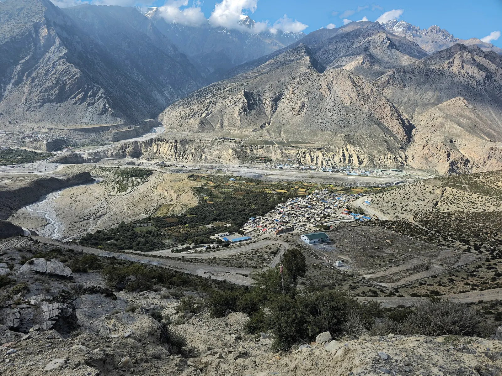
Town or village · 2,743 m
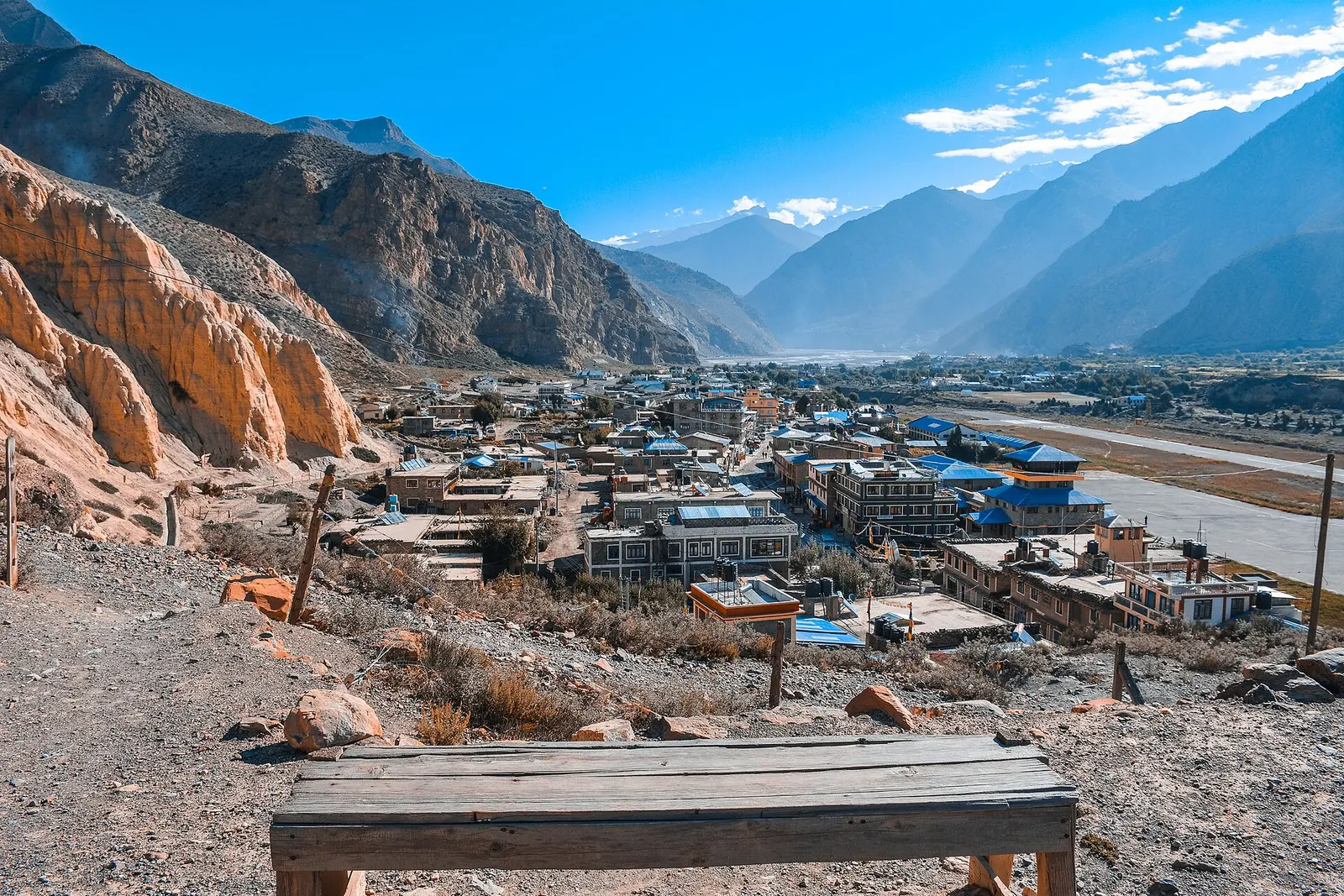
Mustang's headquarters and airstrip town on the Kali Gandaki, under the walls of Nilgiri and Dhaulagiri.
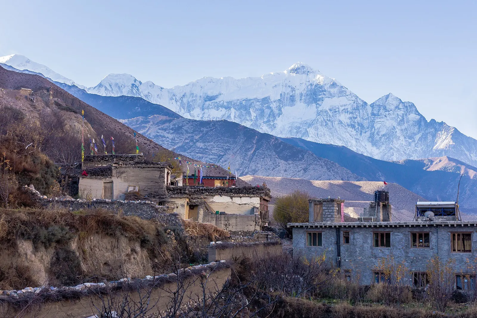
Town or village · 2,804 m
A medieval mud-brick village at the confluence of two rivers, the gateway between Lower and Upper Mustang.
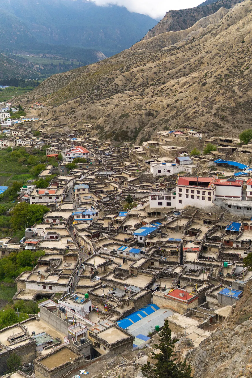
Town or village · 2,670 m
A Thakali village of whitewashed stone houses, flagstone lanes and apple orchards in the Kali Gandaki valley.
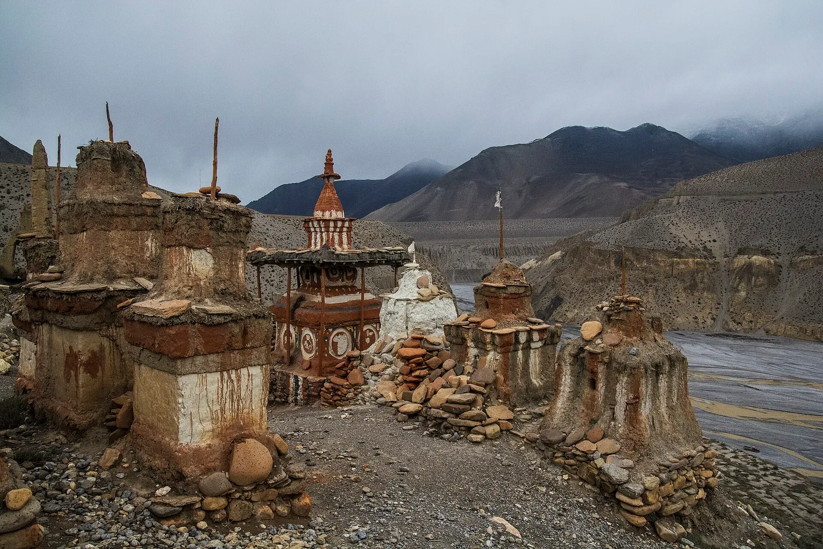
Valley or region
The old Kingdom of Lo: a dry, wind-carved valley of cave cliffs, red monasteries and walled villages north of Kagbeni.
Valley or region
A trans-Himalayan district along the Kali Gandaki, from Thakali villages and apple orchards to the walled towns of the old Kingdom of Lo.