
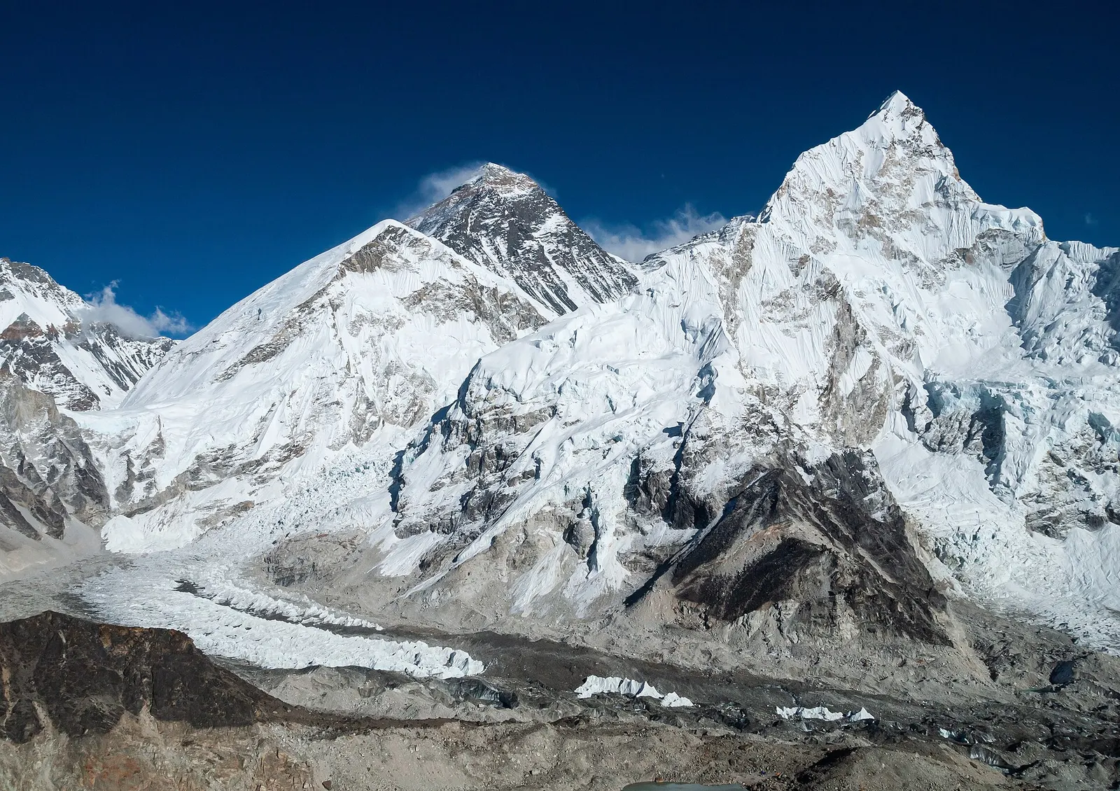
The classic teahouse trek from Lukla through Sherpa villages to Everest Base Camp (5,364 m) and the Kala Patthar viewpoint, with acclimatisation days in Namche and Dingboche.
- Days
- 12 days
- Maximum altitude
- 5,644 m
- Difficulty
- Strenuous
Everest & Khumbu, Pikey Peak
A short, lower trek in Solu, the southern part of Solukhumbu, to the grassy summit of Pikey Peak (about 4,065 m) for a long Himalayan panorama including Everest, then down to Junbesi and Phaplu.
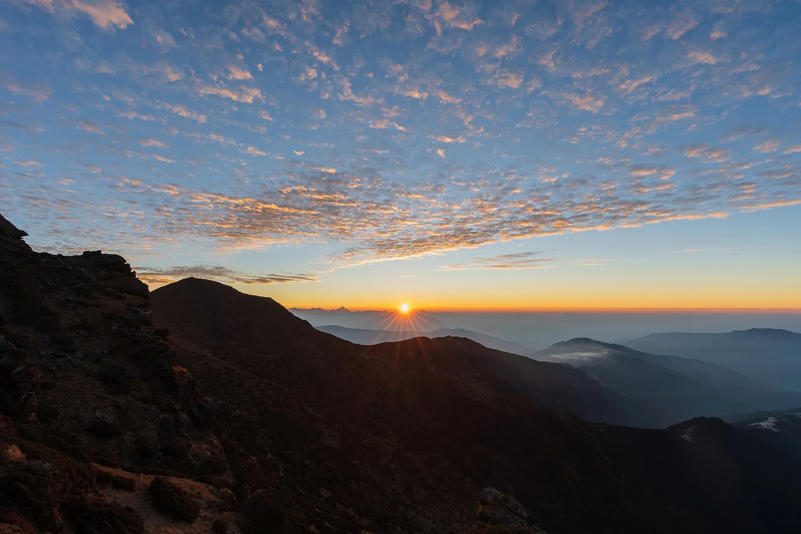
The Pikey Peak trek is a road-accessible walk in lower Solukhumbu, well south of Sagarmatha National Park. It climbs from the road head at Dhap through farmland, rhododendron forest and high pastures to a ridge-top summit of about 4,065 m, then descends to the Sherpa village of Junbesi and the airstrip town of Phaplu.
On a clear morning the view from the top reaches along a long stretch of the high Himalaya, with Everest, Lhotse and Makalu to the north-east and the peaks of Rolwaling and beyond to the west. Edmund Hillary is often quoted as calling it his favourite view of Everest. The summit is usually climbed before dawn from lodges at the foot of the ridge.
The trek is far quieter than the Khumbu routes, with small family lodges and homestays, and its maximum height is about 1,600 m lower than Everest Base Camp. The plan below takes 7 days from Kathmandu; it can be extended with a day at Thubten Chholing monastery or joined to the old Jiri to Lukla trail.
Why it is rated moderate
Sleeping altitude for each night. The dashed lines at 3,000 m and 4,000 m mark heights where altitude illness becomes more common. General information only, not medical advice.
Hover, tap or use the arrow keys to see each day. Shaded columns are acclimatisation days.
| Day | Overnight | Sleeping altitude | High point |
|---|---|---|---|
| 1 | Dhap | 2,850 m | - |
| 2 | Jhapre | 2,815 m | - |
| 3 | Pikey Peak base camp | 3,640 m | - |
| 4 | Junbesi | 2,675 m | 4,065 m |
| 5 | Junbesi | 2,675 m | 3,000 m |
| 6 | Phaplu | 2,413 m | - |
| 7 | Kathmandu | 1,400 m | - |
A long day of about 8-10 hours by jeep or bus east from Kathmandu, along the Sun Koshi valley and up into the hills of Okhaldhunga and Solukhumbu. Road conditions vary; the last section is rough.
Guesthouse or homestay in Dhap
A walk through farmland and forest along the ridge, passing small Sherpa and Tamang settlements and chortens. Altitudes for Jhapre differ between sources.
Teahouse or homestay in Jhapre
A steady climb through rhododendron and fir forest to open yak pastures and the simple lodges below the summit ridge. Go slowly and drink plenty; this is the largest height gain of the trek.
Teahouse at Pikey Peak base camp
Climb for about 1-2 hours in the dark to the prayer-flagged summit for sunrise over the Himalaya, then return for breakfast and descend through pasture and forest to Junbesi. A long day with about 1,400 m of descent.
Teahouse in JunbesiAbout Junbesihigh point Pikey Peak, 4,065 m
Walk up the valley to Thubten Chholing, a large Tibetan Buddhist monastic community founded by Trulshik Rinpoche, and back. Be quiet and modestly dressed, and ask before photographing monks or nuns. This day can be skipped to shorten the trek.
Teahouse in JunbesiAbout Junbesihigh point Thubten Chholing monastery, 3,000 m
Climb over a forested ridge and descend past farms and orchards to Phaplu, near the district headquarters at Salleri. Arrange onward transport for the next day.
Guesthouse in PhapluAbout Phaplu
A long day of about 9-11 hours by jeep or bus, or a short flight when one is scheduled from the Phaplu airstrip. Flights are irregular and weather-dependent.
Hotel in KathmanduAbout Kathmandu
Stages, times and altitudes vary by operator, weather and pace. Partner agencies confirm the exact plan.
Trail geometry from OpenStreetMap.
TIMS cardTrekker card
Pikey Peak lies outside Sagarmatha National Park and no national park permit is generally needed on the Dhap to Phaplu route. Check whether a TIMS card is currently required for this route.
Gaurishankar Conservation Area permitConservation area
Only if your route passes through the conservation area, for example when starting from Jiri or Shivalaya; check your itinerary.
Local feesLocal
Rural municipalities in Solukhumbu may collect local fees; check locally.
Verify before travel: permit rules and fees change. Checked 2026-10-06 against Nepal Tourism Board. Guide rule: The Kathmandu Post: Everest region, Nepal Tourism Board dispute over solo trek ban (3 April 2023).
Nepal trekking permits explainedBest months: Mar-Apr, Oct-Dec
Nearest hub: Phaplu. Times are typical ranges, not schedules, and vary with roadworks, weather and the season.
By airfrom Kathmanduabout 0.5-0.8 hPhapluoften delayed or cancelled by weather
Phaplu airstrip, at about 2,413 m and roughly 280 km from Kathmandu, is served by domestic operators on an irregular basis, then it is 5-6 h on foot to Junbesi. Schedules change by season, so check what is running.
When to set off: hill flights are scheduled in the morning, before the afternoon cloud builds
By car or jeepfrom Kathmanduabout 8-11 h
Kathmandu to Phaplu or Salleri by jeep, roughly 8-11 h, then 5-6 h on foot over the forested ridge to Junbesi. The road is blacktopped for most of the way and slow in the monsoon.
Road: Blacktopped highway and hill road for most of the way, with steeper, narrower stretches beyond Okhaldhunga; a jeep is normally used and the monsoon makes it muddy.
When to set off: leave Kathmandu by 06:00 to reach lower Solukhumbu in one day
By motorbikefrom Kathmanduabout 8-11 hModerate riding
Rideable on a sealed-to-mixed hill road, but it is a long day with steep, narrow sections in the hills beyond Okhaldhunga and little help if something breaks.
Road: Mostly blacktopped, narrowing and steepening in the hills; slippery and landslide-prone in the monsoon.
When to set off: start at first light; this is a full day in the saddle
On footfrom Phapluabout 5-6 h5-6 h from Phaplu over a forested ridge, or 5-6 h down from Pikey Peak with about 1,400 m of descent
On foot from the Phaplu or Salleri road head, or down off the Pikey Peak ridge at the end of that trek.
When to set off: teahouse stages start after breakfast, usually by 07:30, to arrive before the afternoon cloud and wind
Typical seasonal exposure along the route, merged from the stops that have a place page. Seasonal patterns only, never conditions today.
Altitudehigh in a typical yearAll year
The summit is at about 4,065 m and the lodges below the ridge are a few hundred metres lower, so the trek still crosses the altitude threshold. Acute mountain sickness is common on fast ascents - it affects roughly 40 per cent of people who go up quickly to 3,000 m, and more above that. General information, not medical advice: gain height slowly, keep sleeping-height gains small (about 300 m a day once high), build in rest days, learn the symptoms - headache, nausea, breathlessness, broken sleep - and descend if they get worse. See a doctor before travelling and carry insurance that covers helicopter evacuation.
Recorded for Pikey Peak. Altitude sickness - Wikipedia
Road blockageshigh in a typical yearJun-Sep
The mountain roads into Solukhumbu turn muddy and slippery in the monsoon and landslides are possible, so road journeys from Kathmandu run much slower in June to September.
Recorded for Pikey Peak, Junbesi, Phaplu, Kathmandu. Kathmandu to Dhap Village - Himalayan Masters
Othermoderate in a typical yearJun-Aug, Dec-Apr
June to August is wet: heavy rain hides the mountains, the stone staircases and bridge approaches stay slippery, and leeches are a nuisance in the forest below about 3,000 m.
Recorded for Pikey Peak, Junbesi, Phaplu, Kathmandu. Everest Base Camp Trek - Wikivoyage
Coldmoderate in a typical yearNov-Mar
Nights drop well below freezing from November to March, with frost most mornings and only the dining room heated in most lodges.
Recorded for Pikey Peak, Junbesi, Phaplu, Kathmandu. Everest Base Camp Trek - Wikivoyage
Snowmoderate in a typical yearDec-Feb
January and February can bring snow to the summit ridge and the pasture below it; December is often clear but very cold on top.
Recorded for Pikey Peak, Junbesi. Everest Base Camp Trek - Wikivoyage
Seasonal closuremoderate in a typical yearJun-Sep
Phaplu's flights, the air alternative to the long drive, are irregular and weather-bound, with the monsoon months the least reliable.
Recorded for Pikey Peak, Junbesi, Phaplu. Phaplu Airport - Wikipedia
Floodingmoderate in a typical yearJun-Sep
Kathmandu takes most of its rain between June and September; prolonged downpours typically swell the Bagmati and its tributaries and flood low-lying riverside neighbourhoods, as the late-September 2024 monsoon did across the valley.
Recorded for Kathmandu. 2024 Nepal floods, Wikipedia
Landslidesmoderate in a typical yearJun-Sep
The highways into the valley cross steep hill country, and monsoon landslides typically block sections of the Prithvi Highway and the other approach roads, so overland arrival days are unpredictable in July and August.
Recorded for Kathmandu. 2024 Nepal floods, Wikipedia
Check current conditions before you travel
Nothing here describes the Pikey Peak Trek today. Trail, road, pass and flight conditions change with the weather and with roadworks. Check the Department of Hydrology and Meteorology, the Nepal Disaster Risk Reduction Portal and the local authority or your licensed operator before and during the trek.
Forecasts for start (Dhap, 2,850 m), highest overnight (Pikey Peak base camp, 3,640 m), end (Kathmandu, 1,400 m). Mountain weather changes fast; check again on the day.
Forecast for 2,850 m. Conditions change fast in the mountains.
Weather data: MET Norway, licensed CC BY 4.0. A forecast, not a guarantee.
Forecast for 3,640 m. Conditions change fast in the mountains.
Weather data: MET Norway, licensed CC BY 4.0. A forecast, not a guarantee.
Forecast for 1,400 m. Conditions change fast in the mountains.
Weather data: MET Norway, licensed CC BY 4.0. A forecast, not a guarantee.
A large Tibetan Buddhist monastic community about two hours north of Junbesi.
A cliff-top monastery above Phaplu with views over the Solu valley, about 1.5-2 hours' climb.
From Junbesi, the old Jiri route continues east via Ringmu and Nunthala towards Lukla, joining the Everest Base Camp trail in about 4-5 days.
About 7 days from Kathmandu back to Kathmandu, including two long road days. It can be done in 6 days by skipping the Thubten Chholing day, or extended to 9 or more by joining the Jiri route.
About 4,065 m. It is much lower than Everest Base Camp, but still high enough for mild altitude symptoms in some people.
Yes, on a clear morning. Everest appears to the north-east as part of a long panorama that includes Lhotse, Makalu and many other peaks.
No national park permit is generally needed on the Dhap to Phaplu route, as it is outside Sagarmatha National Park. Check whether a TIMS card is currently required, and the Gaurishankar Conservation Area permit if you start from Jiri.
October to December for the clearest views, and March to April for rhododendrons. Avoid the monsoon months of June to August.
The classic teahouse trek from Lukla through Sherpa villages to Everest Base Camp (5,364 m) and the Kala Patthar viewpoint, with acclimatisation days in Namche and Dingboche.
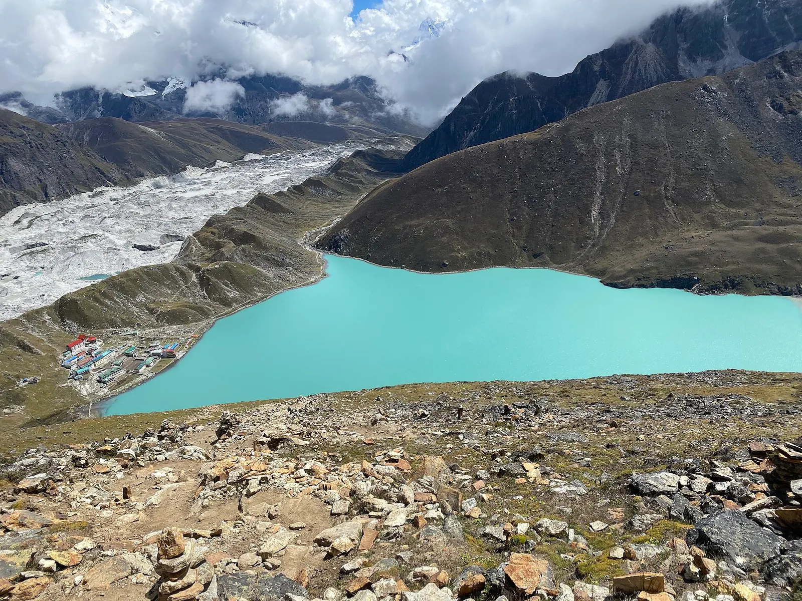
A teahouse trek from Lukla up the Dudh Kosi valley to the turquoise Gokyo Lakes beside the Ngozumpa Glacier, with a dawn climb of Gokyo Ri (about 5,357 m) for views of four 8,000 m peaks.
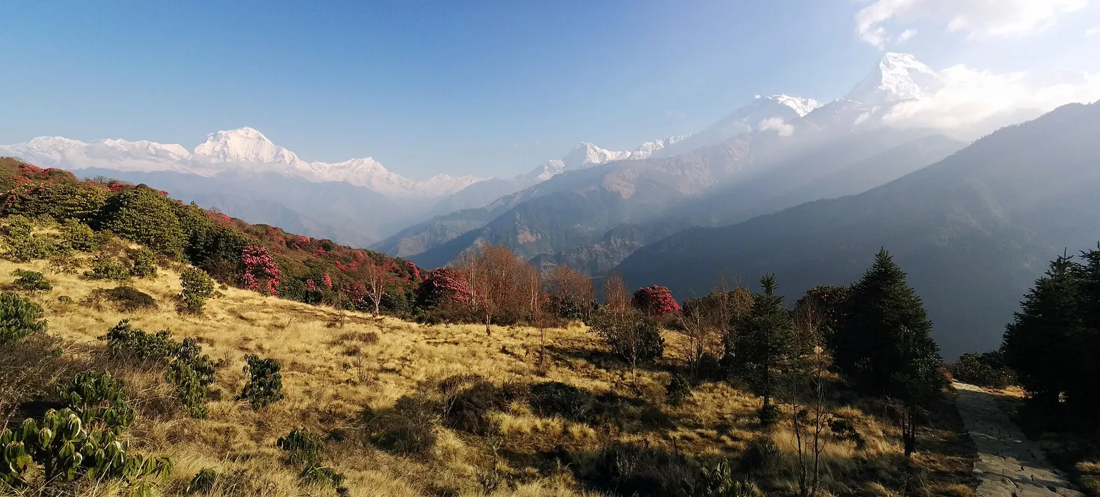
A short teahouse loop from Pokhara through Magar and Gurung villages and rhododendron forest to Ghorepani and the Poon Hill viewpoint (3,210 m), returning via Tadapani and Ghandruk.
Pikey Peak · 7 days