


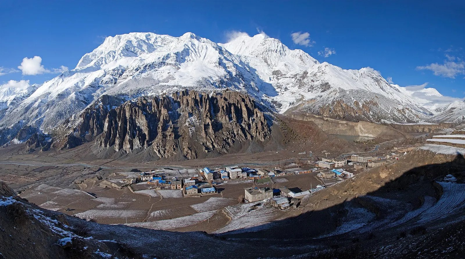
Town or village · 3,519 m
Manang
A high stone village in the upper Marsyangdi valley below Annapurna III and Gangapurna, where Circuit trekkers stop to acclimatise.
Annapurna Regionतातोपानी
A warm, low-lying village beside the Kali Gandaki, known for the hot springs by the river and as the junction for the climb to Ghorepani.
This is Tatopani in Myagdi district, the hot-spring village on the Kali Gandaki on the Annapurna Circuit, not the Tatopani border town on the Bhote Koshi in Sindhupalchok or Singa Tatopani near Beni.
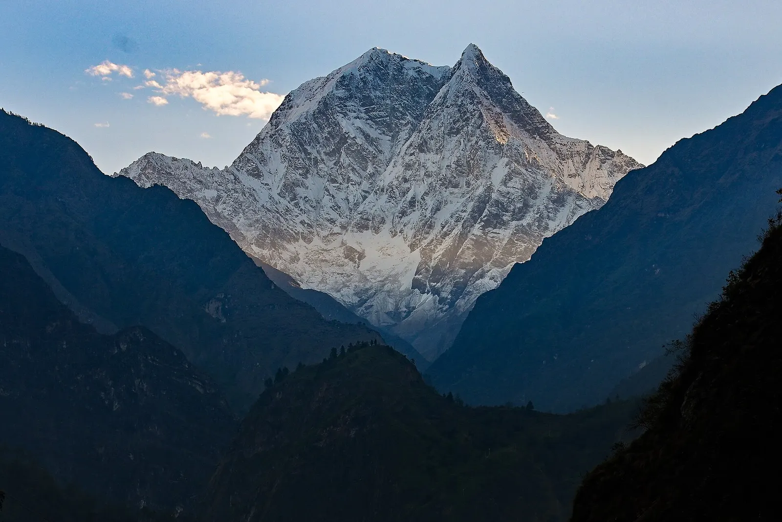
Tatopani, meaning 'hot water', is a village on the Kali Gandaki river in Myagdi district at around 1,200 m, on the western side of the Annapurna Circuit. Trekkers arrive here after the long descent from Jomsom and Ghasa through the deepest part of the Kali Gandaki gorge, and the change is striking: the air is warm, banana and orange trees grow around the lodges, and the snow peaks of Nilgiri and Annapurna South appear high above the valley.
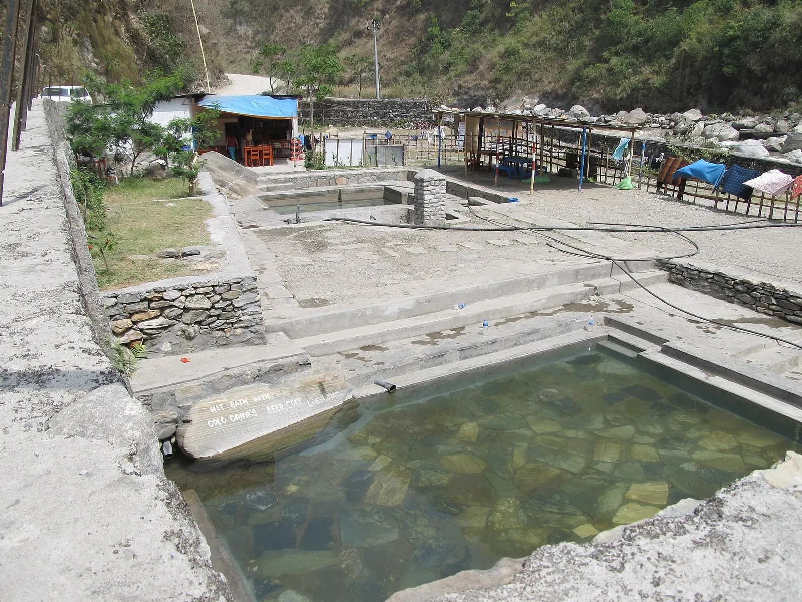
The main attraction is the set of hot spring pools beside the river below the village, a welcome soak after days of walking. Tatopani is also a junction. From here the classic Circuit route leaves the valley and climbs about 1,650 m via Shikha and Chitre to Ghorepani and Poon Hill, while others continue south by road to Beni and Pokhara. The Beni-Jomsom road now runs through the valley, so Tatopani can also be reached by jeep.
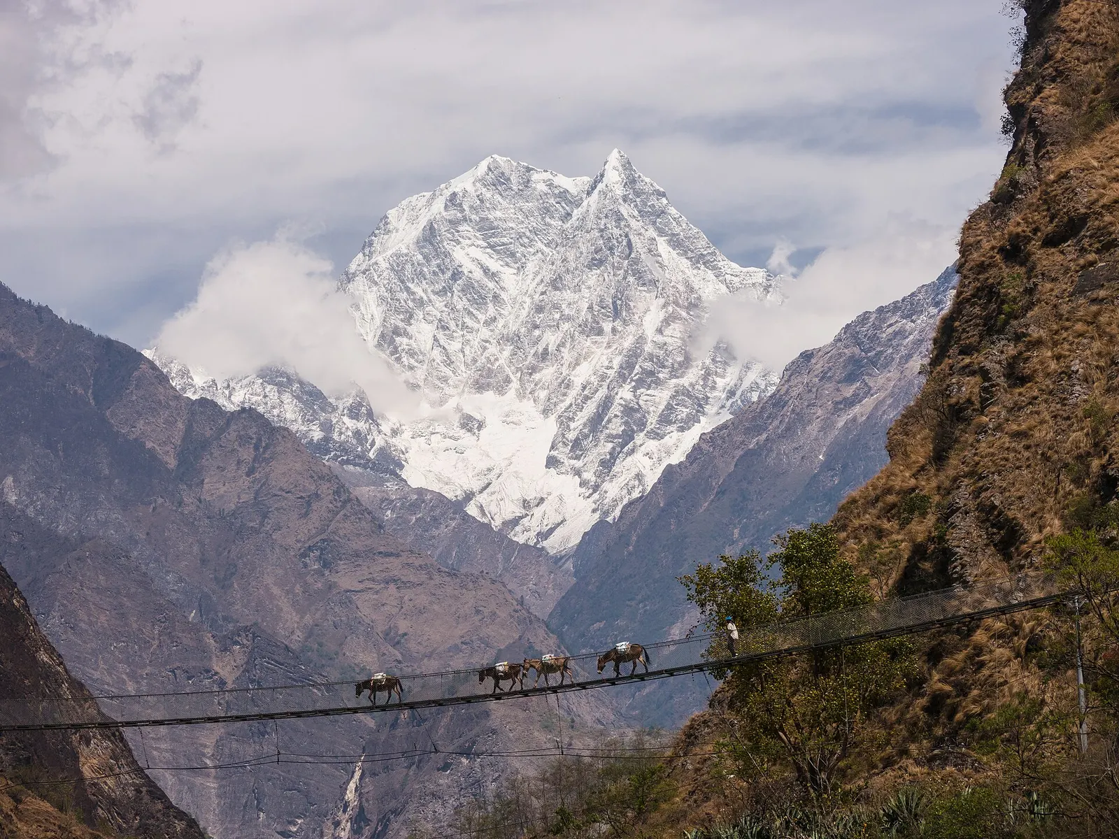
Tatopani lies on the old Kali Gandaki trade route between Tibet and the middle hills, along which salt, wool and grain moved for centuries. The villages in this part of the valley are home mainly to Magar, Thakali and hill Hindu communities, and the springs have long been used for bathing by locals and pilgrims travelling to Muktinath. The settlement was formerly part of Bhurung Tatopani village development committee and is now in Annapurna Rural Municipality, Myagdi.
Soak in the hot springs
Pools by the river below the village; a small local entry charge is usually collected. Bring swimwear and respect local bathers.
Climb to Ghorepani
Start early for the 8-10 hour climb via Ghara, Shikha and Chitre to Ghorepani, or split it with a night in Shikha or Chitre.
Walk up the Kali Gandaki
Use the marked trail on the east bank towards Dana and the Rupse Chhahara waterfall to avoid road traffic.
Forecast for 1,200 m. Conditions change fast in the mountains.
Weather data: MET Norway, licensed CC BY 4.0. A forecast, not a guarantee.
Feb-Apr, Oct-Dec
A good choice of trekking lodges and guesthouses in the village, many with gardens and orchards.
No partner stays are listed here yet. List a property.
Drive from Pokhara to Beni, then continue up the Kali Gandaki by jeep or bus on the Beni-Jomsom road. On foot, Tatopani is reached from Ghorepani or from Ghasa further up the valley.
Nearest hub: Pokhara
Permit required
Tatopani is within the Annapurna Conservation Area, so trekkers need an ACAP permit. The hot spring pools charge a small local entry fee.
Verify before travel: permit rules and fees change. Checked 2026-10-06 against Annapurna Conservation Area Project, NTNC.
On the Annapurna Circuit (Kali Gandaki descent), Ghorepani-Poon Hill trek (Tatopani variant).
Drive to Beni (3-4 hours) and continue by jeep up the Kali Gandaki for 1.5-2.5 hours, or trek down from Ghorepani in 6-8 hours.
The hot-spring village on the Kali Gandaki in Myagdi on the Annapurna Circuit, not the Tatopani border crossing in Sindhupalchok.
Trekkers need an ACAP permit because the village is in the Annapurna Conservation Area; the hot springs charge a small local fee.
October to April is best; the monsoon brings heavy rain and frequent road blockages.
Town or village · 3,519 m
A high stone village in the upper Marsyangdi valley below Annapurna III and Gangapurna, where Circuit trekkers stop to acclimatise.
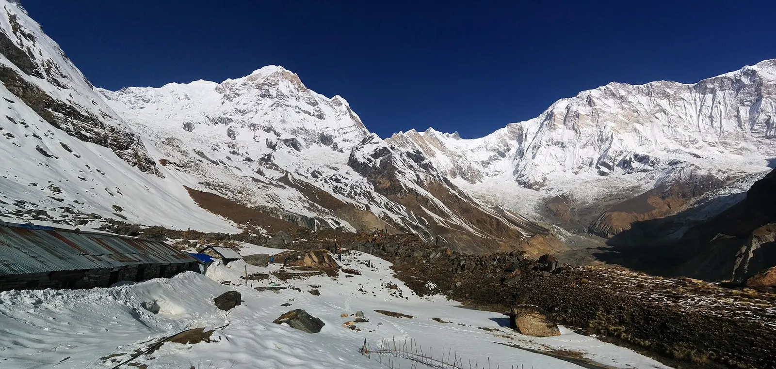
Trek stop · 4,130 m
Lodges at about 4,130 m in the glacial basin of the Annapurna Sanctuary, below the south face of Annapurna I.
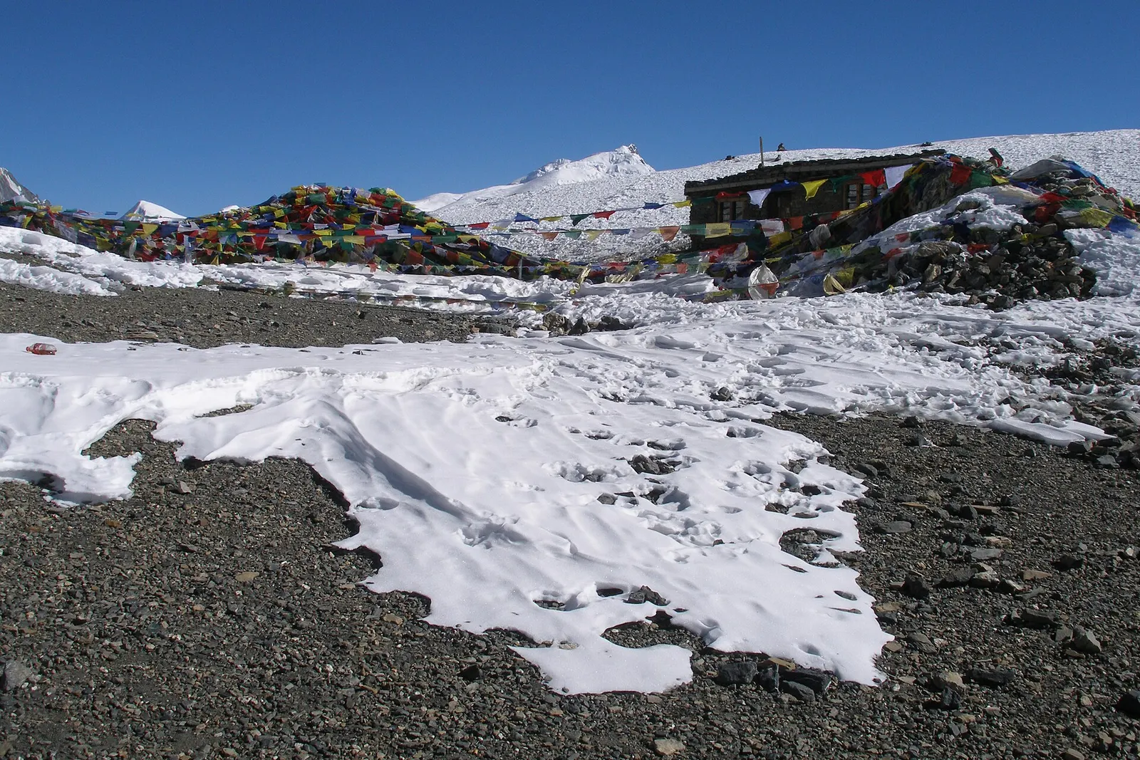
Mountain pass · 5,416 m
The 5,416 m pass between Manang and Muktinath, the high point of the Annapurna Circuit.
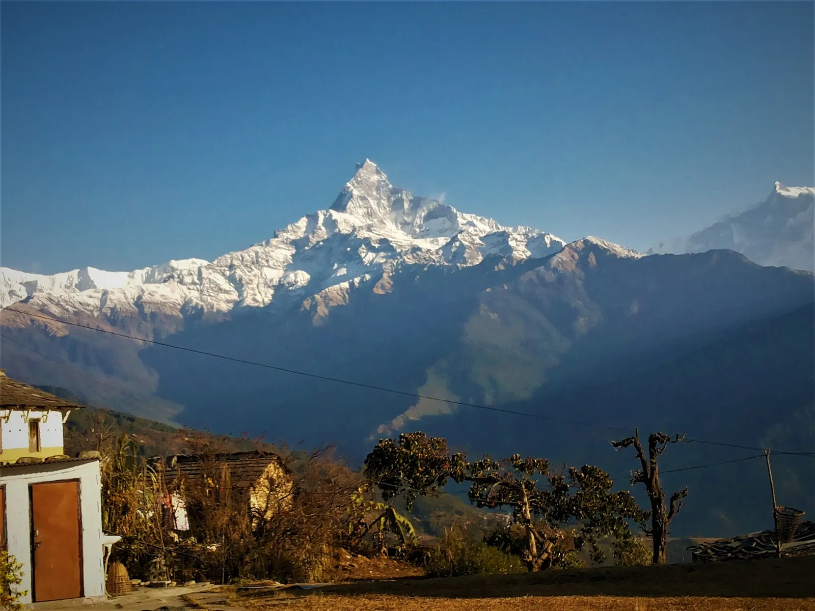
Trek stop · 2,060 m
A grassy clearing at about 2,060 m above Kande with a wide view of the Annapurna range and Machhapuchhre, an easy walk from the road.
Trek stop · 2,310 m
A group of lodges in the bamboo forest of the Modi Khola gorge, the first overnight stop above Chhomrong on the way to Annapurna Base Camp.
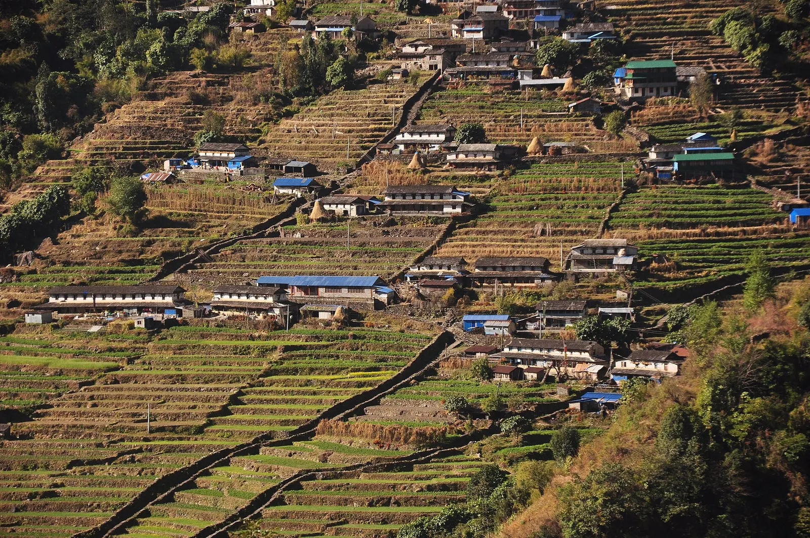
Trek stop · 2,170 m
The last permanent Gurung village before the Annapurna Sanctuary, built on a steep staircase facing Annapurna South and Machhapuchhre.
Trek stop · 3,200 m
The last lodges in the Modi Khola gorge before Machhapuchhre Base Camp, at about 3,200 m.
Trek stop · 1,650 m
A Gurung hill village above Phedi with views of Machhapuchhre and the Annapurnas, close to Pokhara.
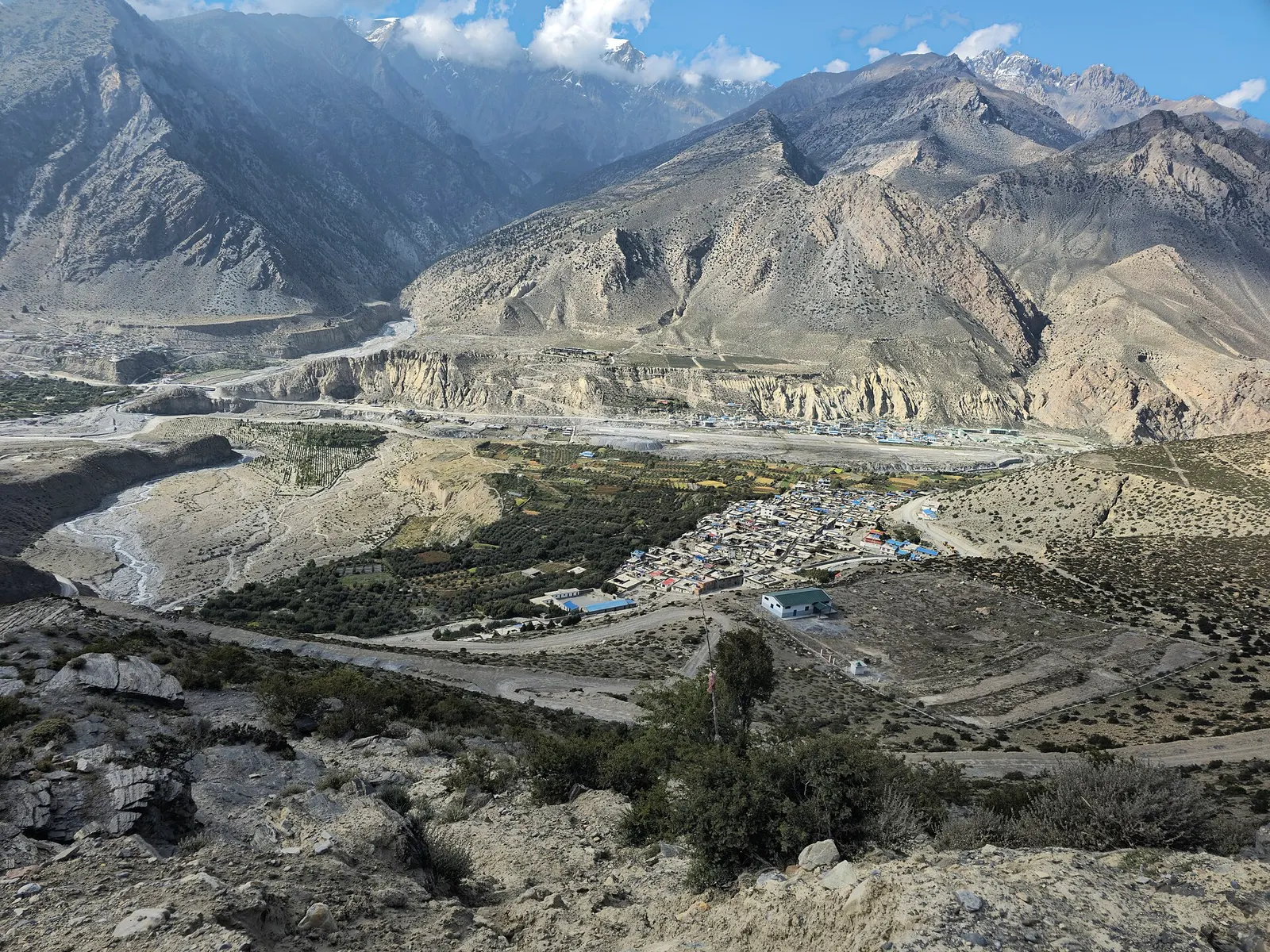
Town or village · 2,743 m
Mustang's headquarters and airstrip town on the Kali Gandaki, under the walls of Nilgiri and Dhaulagiri.
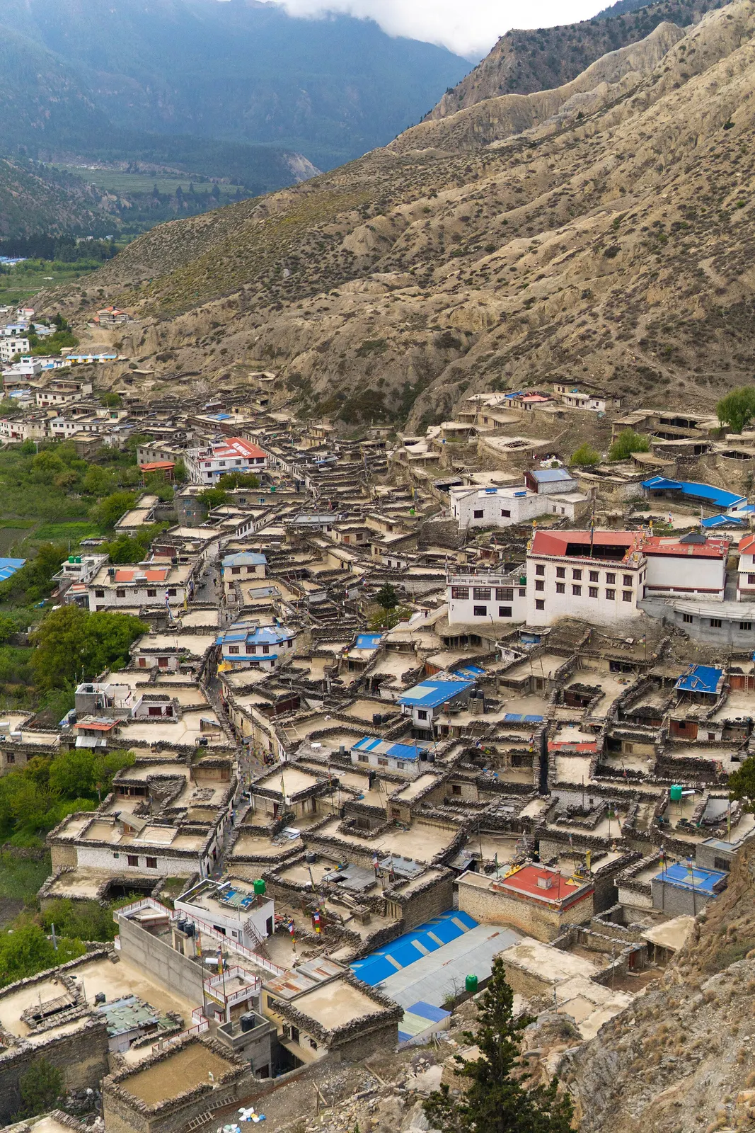
Town or village · 2,670 m
A Thakali village of whitewashed stone houses, flagstone lanes and apple orchards in the Kali Gandaki valley.
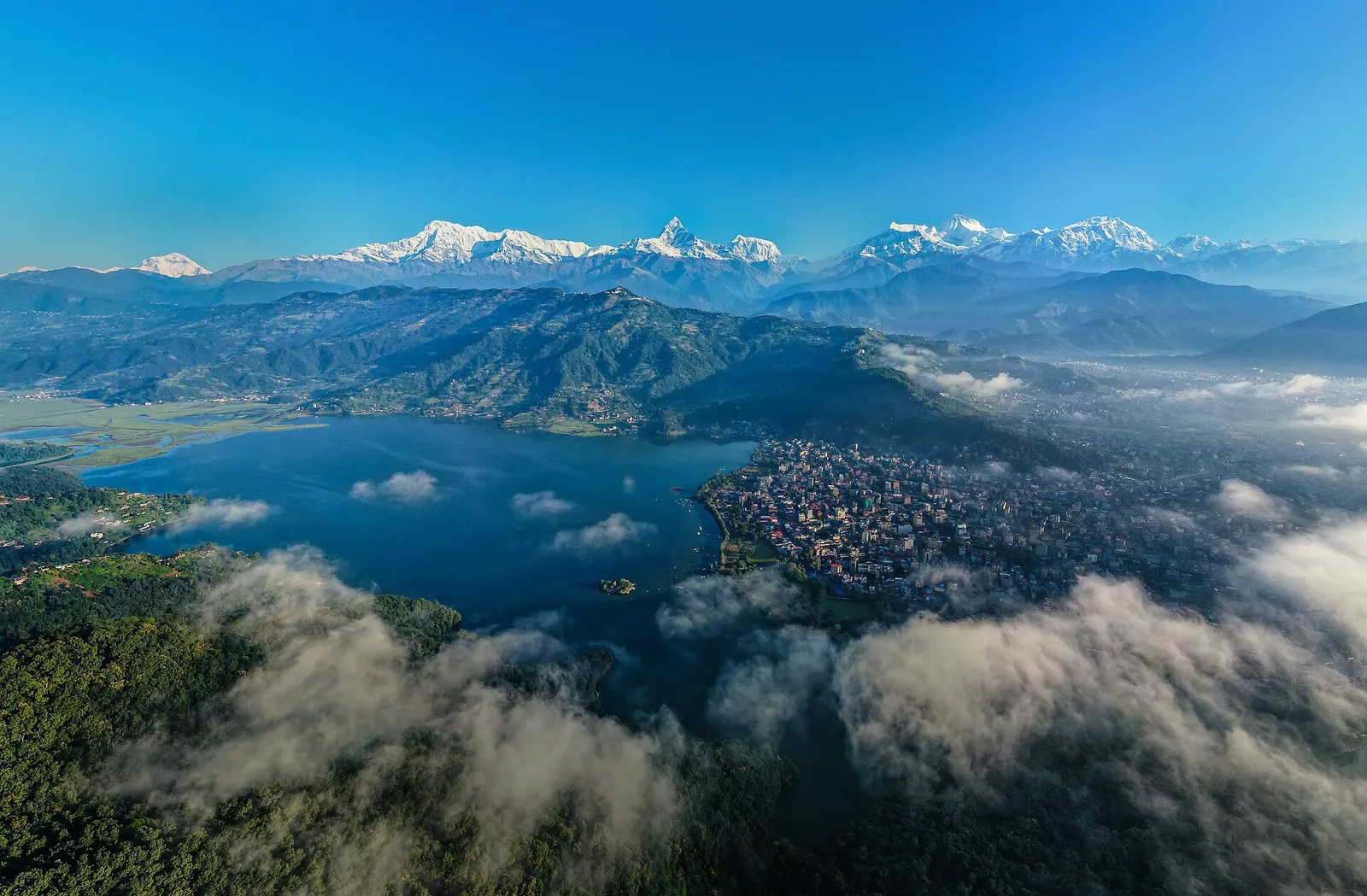
Town or village · 822 m
A lakeside city about 200 km west of Kathmandu, with the Annapurna range and Machhapuchhre rising close to the north.