
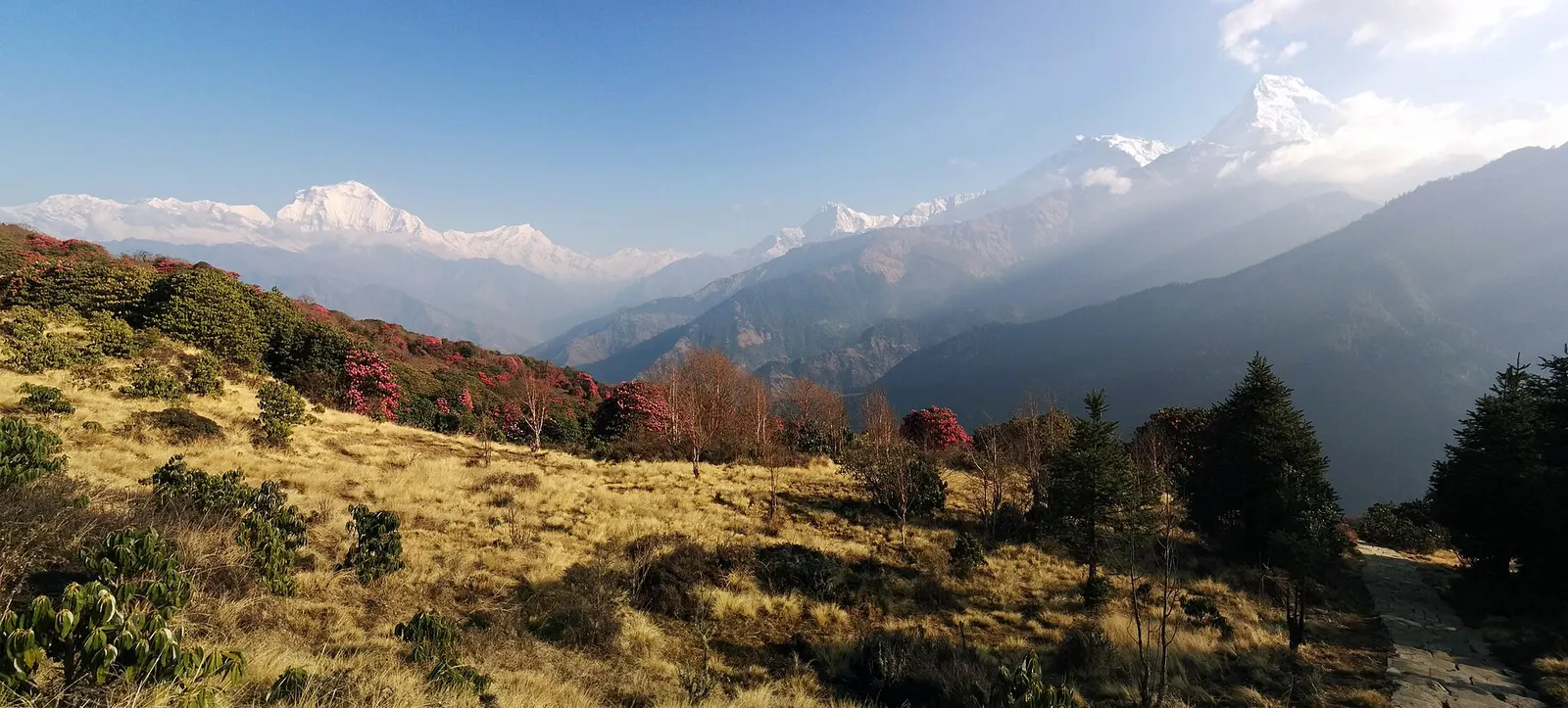
A short teahouse loop from Pokhara through Magar and Gurung villages and rhododendron forest to Ghorepani and the Poon Hill viewpoint (3,210 m), returning via Tadapani and Ghandruk.
- Days
- 4 days
- Maximum altitude
- 3,210 m
- Difficulty
- Easy
Pokhara & Annapurna, Annapurna Region
A short community-run trek from the Beni side through Magar villages to Mohare Danda (about 3,300 m), a hilltop with a community lodge facing Dhaulagiri and the Annapurnas.
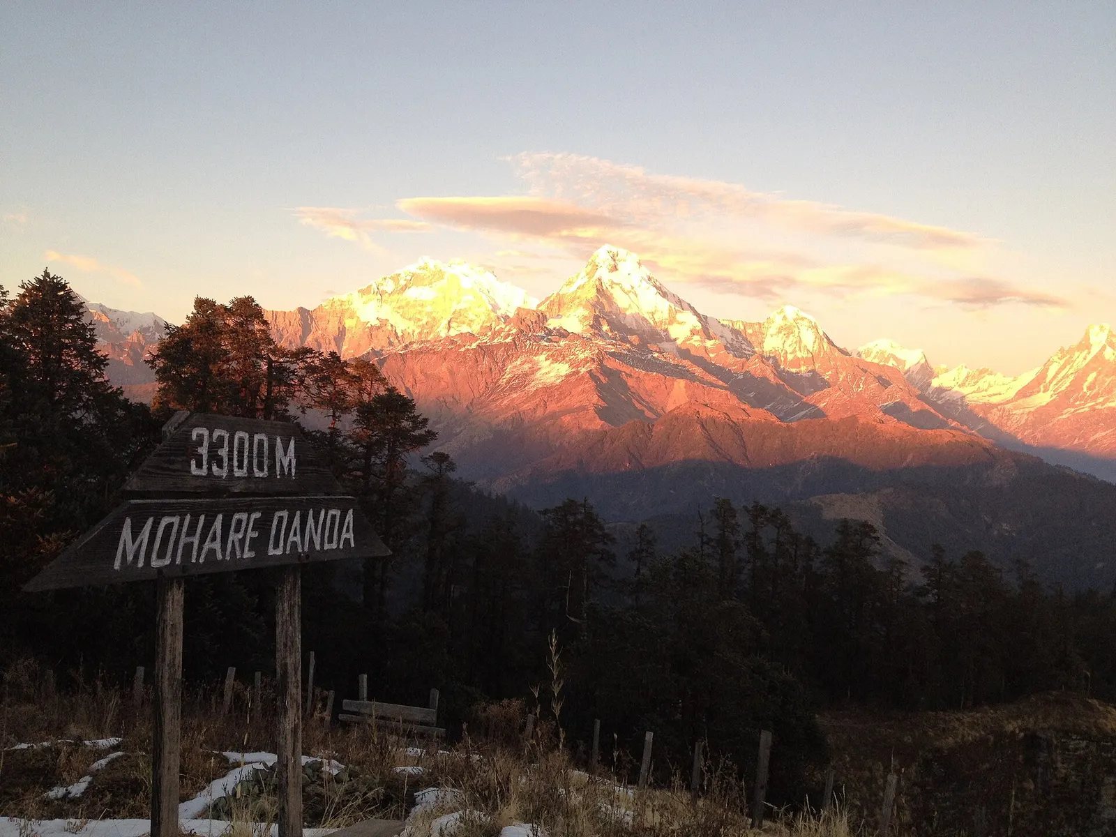
The Mohare Danda trek climbs from the Kali Gandaki side of the hills, near Beni, through the Magar villages of Banskharka and Nangi to Mohare Danda, a hilltop at about 3,300 m south-west of Ghorepani. From the top the view runs from Dhaulagiri across the Kali Gandaki to Annapurna South, Machhapuchhre and, on clear days, Manaslu.
The route was set up as a community eco-trek by Mahabir Pun, the Nangi-born teacher known for connecting remote villages to the internet by wireless relay. Lodges and homestays are owned by village communities, and the income supports local schools and services.
It is quieter than Poon Hill and can be joined to it or to the Khopra Danda route by trails from Mohare Danda to Ghorepani.
Why it is rated moderate
Sleeping altitude for each night. The dashed lines at 3,000 m and 4,000 m mark heights where altitude illness becomes more common. General information only, not medical advice.
Hover, tap or use the arrow keys to see each day. Shaded columns are acclimatisation days.
| Day | Overnight | Sleeping altitude | High point |
|---|---|---|---|
| 1 | Banskharka | 1,550 m | - |
| 2 | Nangi | 2,300 m | - |
| 3 | Mohare Danda | 3,300 m | - |
| 4 | Tikot | 2,200 m | - |
| 5 | Pokhara | 822 m | - |
Drive about 3-4 hours to Beni and on to Galeshwor, then walk up to the village of Banskharka. Jeeps may get closer depending on the road.
Community lodge or homestay in Banskharka
A hard first climb to Danda Kateri, then an easier walk to Nangi, the home village of Mahabir Pun, with its school and community projects.
Community lodge or homestay in Nangi
Through forest and pasture along the ridge to the community lodge on Mohare Danda, in time for sunset over Dhaulagiri.
Community lodge on Mohare DandaAbout Mohare Danda
Sunrise from the top, then a long descent north-west through forest to the village of Tikot. Some itineraries go east to Ghorepani instead and finish via Poon Hill.
Homestay in Tikot
Walk down to Tipling and the road, then drive via Beni to Pokhara, roughly 4 hours.
Hotel in Pokhara
Stages, times and altitudes vary by operator, weather and pace. Partner agencies confirm the exact plan.
Trail geometry from OpenStreetMap.
ACAP entry permit (Annapurna Conservation Area)Conservation area
Sources disagree on whether the core Mohare Danda route lies inside the Annapurna Conservation Area. Routes that link to Ghorepani, Poon Hill or Khopra enter it. Ask the NTNC/ACAP office in Pokhara or your agency, and carry a permit if in doubt.
TIMS cardTrekker card
Check whether a TIMS card is currently required; since 2023 it has been issued through registered trekking agencies.
Verify before travel: permit rules and fees change. Checked 2026-10-06 against National Trust for Nature Conservation (Annapurna Conservation Area Project, e-permit links). Guide rule: Nepal bans solo trekking for tourists, guides mandatory from April 1 (The National, March 2023).
Nepal trekking permits explainedBest months: Mar-Apr, Oct-Nov
Forecasts for start (Banskharka, 1,550 m), highest overnight (Mohare Danda, 3,300 m), end (Pokhara, 822 m). Mountain weather changes fast; check again on the day.
Forecast for 1,550 m. Conditions change fast in the mountains.
Weather data: MET Norway, licensed CC BY 4.0. A forecast, not a guarantee.
Forecast for 3,300 m. Conditions change fast in the mountains.
Weather data: MET Norway, licensed CC BY 4.0. A forecast, not a guarantee.
Forecast for 822 m. Conditions change fast in the mountains.
Weather data: MET Norway, licensed CC BY 4.0. A forecast, not a guarantee.
A ridge trail links Mohare Danda with Ghorepani; finish via Poon Hill instead of Tikot.
From Ghorepani, continue via Swanta to Khopra Ridge for a longer circuit.
Usually 4-6 days from Pokhara, including road transfers via Beni.
About 3,300 m; the summit is mapped at 3,313 m.
Village communities, under a community eco-trek started by Mahabir Pun.
Sources disagree for the core route; if you link to Ghorepani or Khopra you are in the conservation area. Check with ACAP in Pokhara or your agency.
Yes. A trail connects Mohare Danda with Ghorepani, so you can finish via Poon Hill.
A short teahouse loop from Pokhara through Magar and Gurung villages and rhododendron forest to Ghorepani and the Poon Hill viewpoint (3,210 m), returning via Tadapani and Ghandruk.
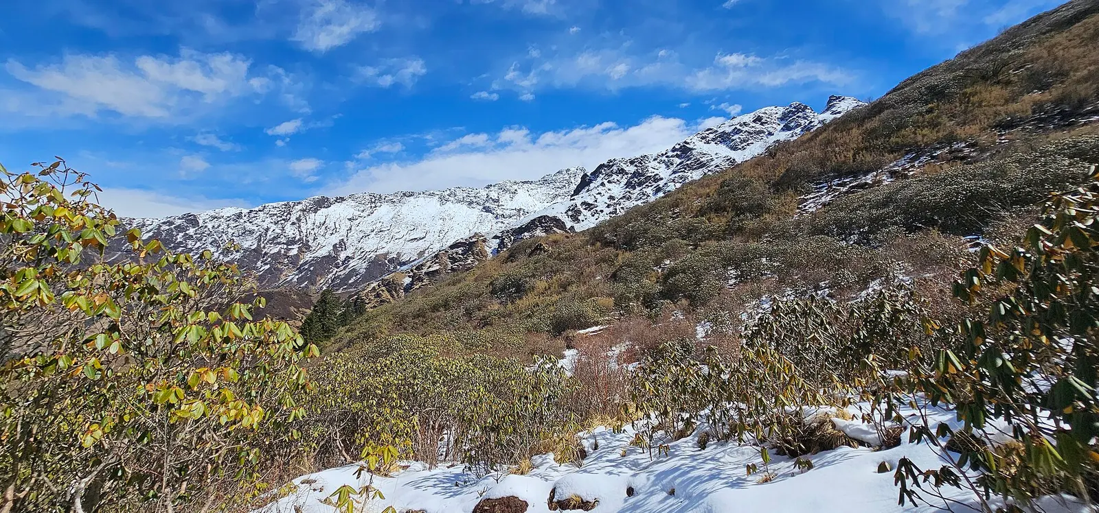
A quieter loop west of the Annapurna Sanctuary from Ghandruk via Tadapani, Dobato and Khopra Ridge (about 3,660 m) to Swanta, Ghorepani and Poon Hill, with an optional hike to Khayer Lake.
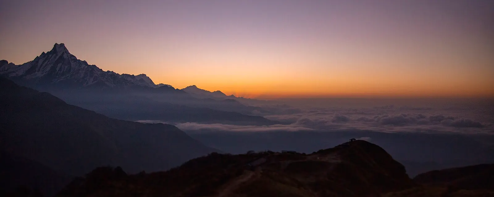
A four-day loop from Pokhara via Ghandruk, Tadapani and Dobato to the Muldai viewpoint (about 3,637 m) for sunrise, returning over Ghorepani and Poon Hill.
Mohare Danda · 5 days