Temple, monastery or heritage site
Galeshwor Dham
A riverside Shiva temple on the Kali Gandaki near Beni, linked in legend to the sage Galav.
Pokhara & Annapurnaबेनी
Myagdi's headquarters at the meeting of the Myagdi Khola and the Kali Gandaki, a junction for Mustang, Dhaulagiri and Tatopani.
This is Beni, the headquarters of Myagdi district at the Kali Gandaki confluence, not other places called Beni elsewhere in Nepal.
Higher seasonal exposure: landslides (Jun-Sep).
Beni is the headquarters of Myagdi district, a compact bazaar on the valley floor where the Myagdi Khola flows into the Kali Gandaki. Its name refers to the confluence, which is considered sacred, and a small temple and ghat stand where the two rivers meet. Steep, terraced hills rise on every side, and the town is warm and humid for much of the year compared with the high country upstream.
For most travellers Beni is a junction rather than a destination. The road up the Kali Gandaki to Tatopani, Ghasa, Jomsom and Muktinath starts here, and another road follows the Myagdi Khola west towards Darbang and the trailheads for the Dhaulagiri circuit. Trekkers finishing the Annapurna Circuit by road often change vehicles here, and the town is also the access point for the hot springs at Tatopani and for the Galeshwor Dham temple a short way downstream.
The bazaar has hotels, eateries, banks, shops and a busy bus park. A walk along the river front, a visit to the confluence and a stroll over one of the suspension bridges make a good way to spend a few hours between connections.
Beni grew as a trading point on the old Kali Gandaki salt route, where goods moved between Tibet, Mustang and the middle hills and plains. The confluence has long had religious importance for Hindus, and the area around Beni and Galeshwor is associated with sages and pilgrimages linked to the Kali Gandaki, whose riverbed is the source of saligram fossils.
Myagdi is home to large Magar communities, especially of the Pun clan, as well as Chhantyal, Thakali and Brahmin-Chhetri families, and Beni brings all of them together as the district's market. Dashain, Tihar and the Maghe Sankranti festival at the river are among the main events of the year.
Confluence walk
Walk down to the meeting of the two rivers and the small shrine and ghat there.
Galeshwor Dham
Take a short ride downstream to the riverside Shiva temple at Galeshwor.
Onward journeys
Arrange jeeps up the Kali Gandaki to Tatopani and Jomsom, or west up the Myagdi valley towards the Dhaulagiri trailheads.
Conditions change fast in the mountains.
Weather data: MET Norway, licensed CC BY 4.0. A forecast, not a guarantee.
Feb-Apr, Oct-Dec
Simple hotels and guesthouses around the bazaar and bus park.
No partner stays are listed here yet. List a property.
Beni is reached by road from Pokhara through Nayapul and Kusma, a drive of a few hours; jeeps continue north up the Kali Gandaki.
Nearest hub: Pokhara
None needed
No permit is needed for Beni itself; treks north and west of town into the Annapurna Conservation Area need an ACAP permit.
Verify before travel: permit rules and fees change. Checked 2026-10-08 against Nepal Tourism Board.
What this place is typically exposed to, and when. These are seasonal patterns, not a report on conditions now.
Landslideshigh in a typical yearJun-Sep
The roads from Pokhara and up the Kali Gandaki gorge from Beni are among the most landslide-prone in the region during the monsoon.
Floodingmoderate in a typical yearJul-Aug
Monsoon rain raises the Kali Gandaki and Myagdi Khola quickly; keep clear of river banks and low ground near the confluence.
Check current conditions before you travel
Roads, trails, passes and flights change with the weather and with roadworks, and nothing on this page describes conditions today. Before you set off, check the Department of Hydrology and Meteorology for weather and flood warnings, the Nepal Disaster Risk Reduction Portal for incidents, and the local authority, police or your licensed operator for road, trail and flight status.
It is the headquarters of Myagdi and the junction where the Myagdi Khola meets the Kali Gandaki, on the road to Jomsom and Muktinath.
It is a drive of a few hours by bus or jeep via Nayapul and Kusma.
Yes, jeeps and buses run north along the Kali Gandaki road to Tatopani and beyond.
No, but treks into the Annapurna Conservation Area from here need an ACAP permit.
Temple, monastery or heritage site
A riverside Shiva temple on the Kali Gandaki near Beni, linked in legend to the sage Galav.
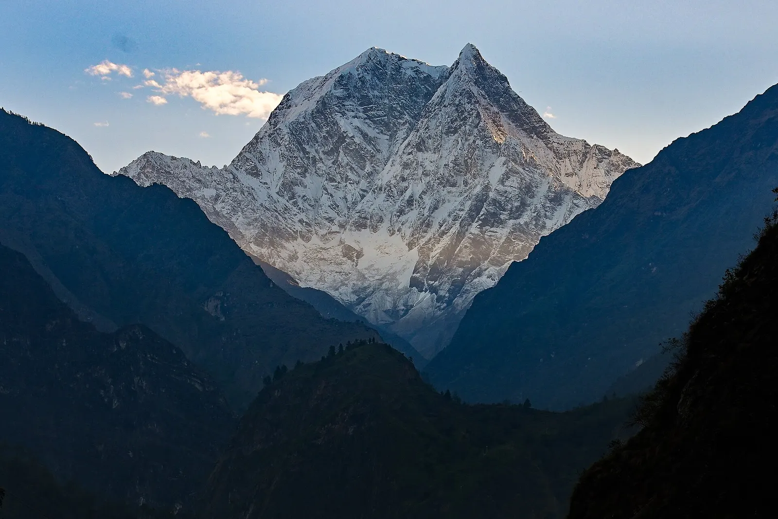
Trek stop · 1,200 m
A warm, low-lying village beside the Kali Gandaki, known for the hot springs by the river and as the junction for the climb to Ghorepani.
Town or village
District headquarters on a broad terrace above the Kali Gandaki, known for its Kalika temple and pedestrian suspension bridges.
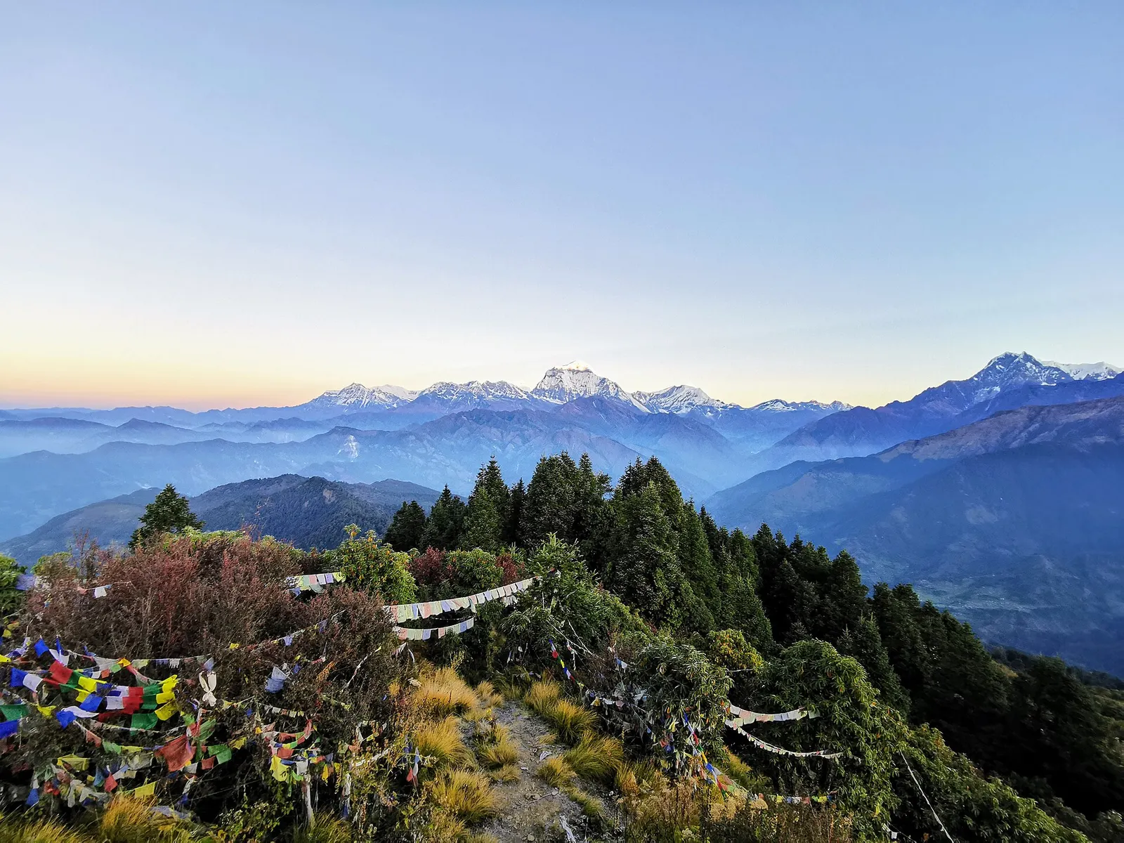
Trek stop · 2,874 m
A ridge-top trekking village in rhododendron forest, and the base for the dawn climb to Poon Hill's view of Dhaulagiri and the Annapurnas.