
Temple, monastery or heritage site · 1,340 m
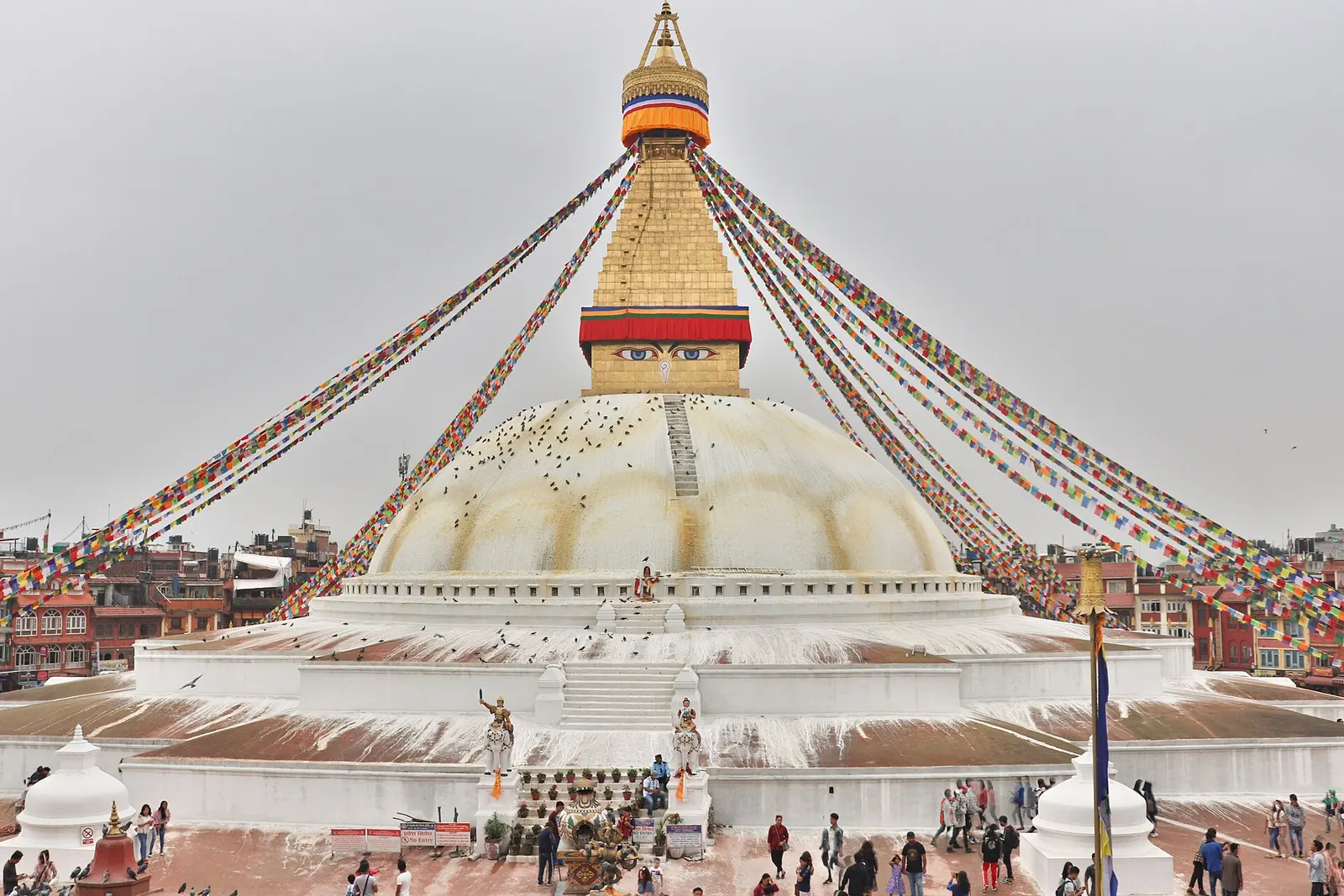
Boudhanath
The great white stupa of north-east Kathmandu, centre of the valley's Tibetan Buddhist community and its many monasteries.
Bagmati Provinceकाठमाडौँ
Nepal's capital district, dense with UNESCO-listed temples and stupas, old Newar quarters and the busy traveller hub of Thamel.
Kathmandu district covers the northern and western part of the Kathmandu Valley, a bowl in the middle hills drained by the Bagmati and Bishnumati rivers. The valley floor is ringed by forested ridges, including Shivapuri to the north and Chandragiri to the south-west. Lalitpur lies across the Bagmati to the south, Bhaktapur to the east, and Nuwakot, Dhading and Sindhupalchok beyond the surrounding hills.
The district holds the national capital and is Nepal's political, commercial and cultural centre. The Newar heritage of the old city sits alongside Hindu and Buddhist pilgrimage sites and newer neighbourhoods. Travellers come for Kathmandu Durbar Square, Swayambhunath, Boudhanath and Pashupatinath Temple, for monasteries such as Kopan, for walks in Shivapuri Nagarjun National Park, and for Thamel as a base before treks.
Temple, monastery or heritage site · 1,340 m
The great white stupa of north-east Kathmandu, centre of the valley's Tibetan Buddhist community and its many monasteries.
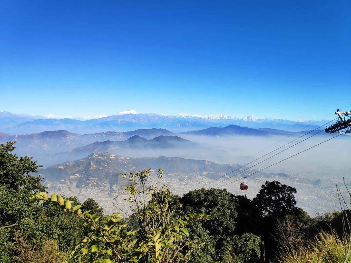
Viewpoint · 2,551 m
A hill on the Kathmandu Valley's south-western rim, reached by cable car, with a Shiva temple and wide Himalayan views.
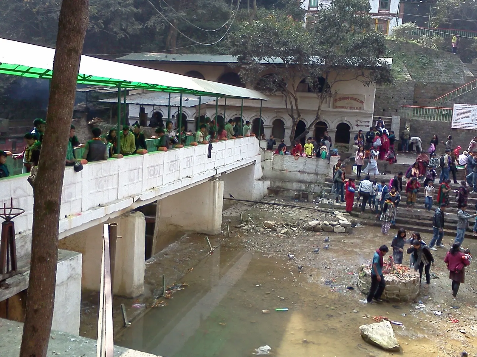
Temple, monastery or heritage site · 1,480 m
A Hindu temple to the goddess Kali in a forested gorge south of Pharping, known for its Tuesday and Saturday animal sacrifices.
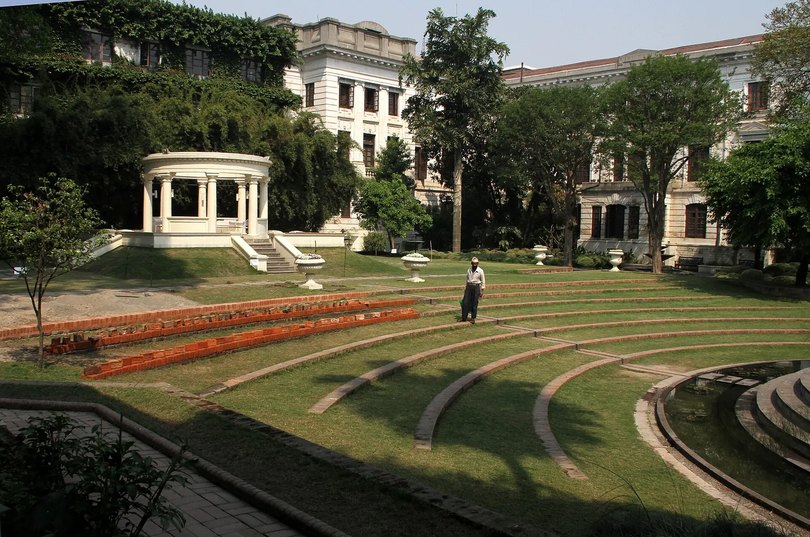
Temple, monastery or heritage site · 1,320 m
A restored 1920s Rana-era garden of pavilions, ponds and lawns at the edge of Thamel.
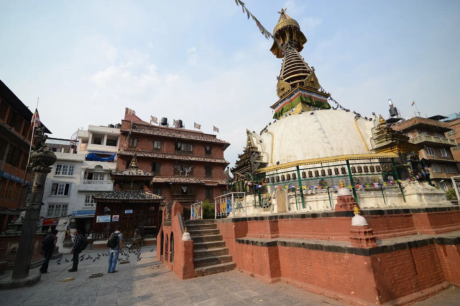
Temple, monastery or heritage site · 1,310 m
A centuries-old miniature of Swayambhunath in a quiet courtyard a few minutes' walk south of Thamel.
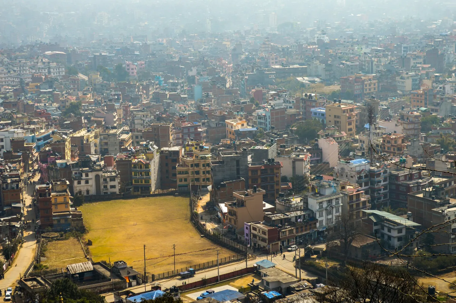
Town or village · 1,400 m
Nepal's capital, a sprawling valley city wrapped around a medieval Newar core, with major Hindu and Buddhist sites and the country's main airport.
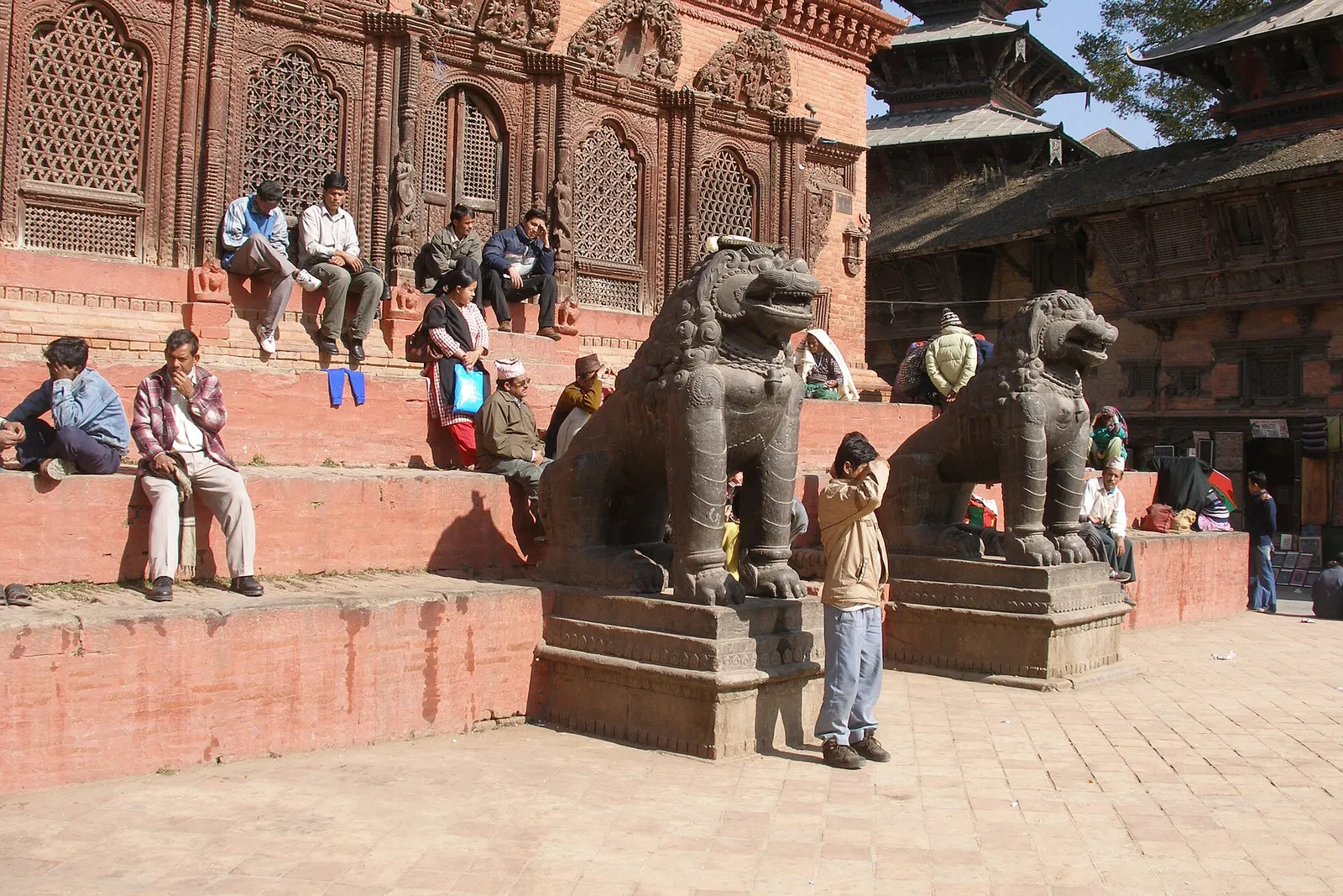
Temple, monastery or heritage site · 1,310 m
The old royal heart of Kathmandu, a cluster of Malla and Shah-era palaces and temples, and home of the Kumari, the living goddess.
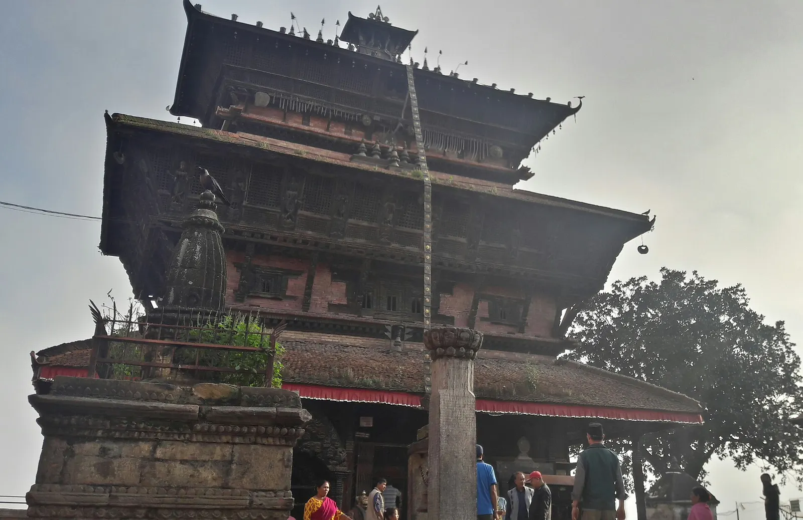
Town or village · 1,400 m
An old Newar hill town on Kathmandu's south-western edge, with temples, valley views and a dramatic history of resistance.
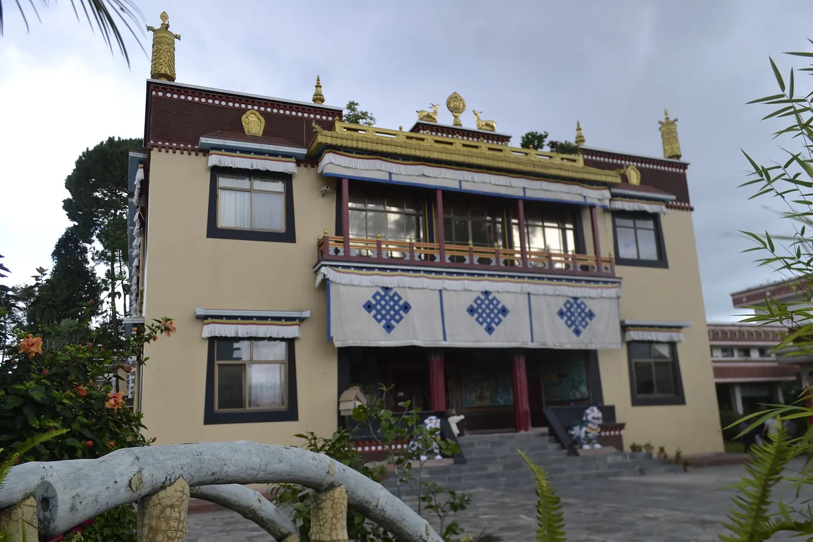
Temple, monastery or heritage site · 1,440 m
A hilltop Tibetan Buddhist monastery north of Boudha, known for its meditation courses for international students.
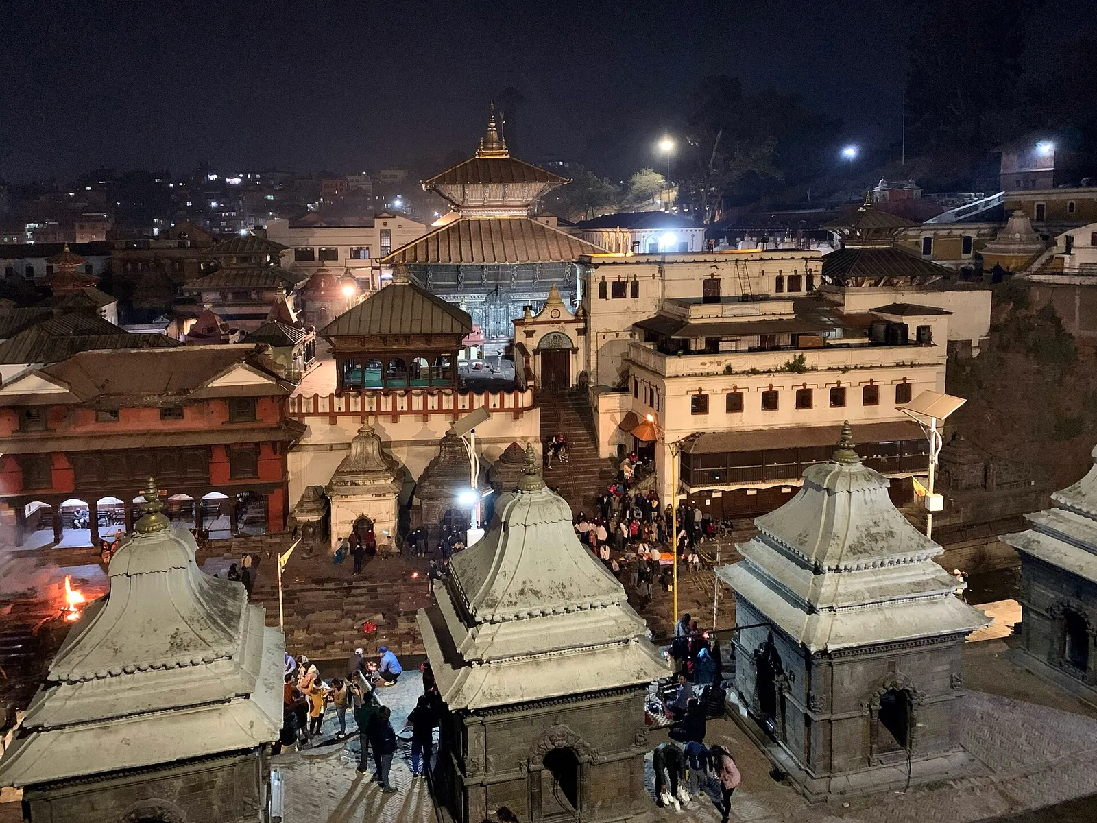
Temple, monastery or heritage site · 1,310 m
Nepal's most important Hindu temple, dedicated to Shiva as Pashupati, on the banks of the Bagmati river in eastern Kathmandu.
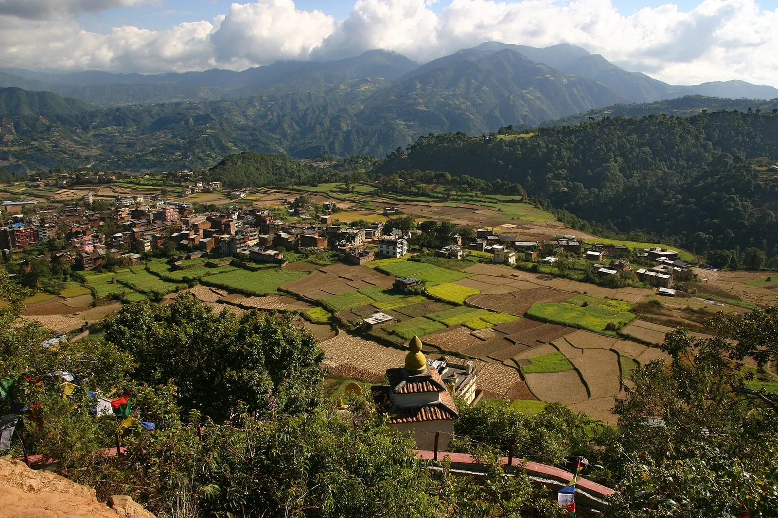
Town or village · 1,570 m
A small Newar town on the southern rim of the Kathmandu Valley, sacred to Vajrayana Buddhists for Guru Rinpoche's meditation caves.
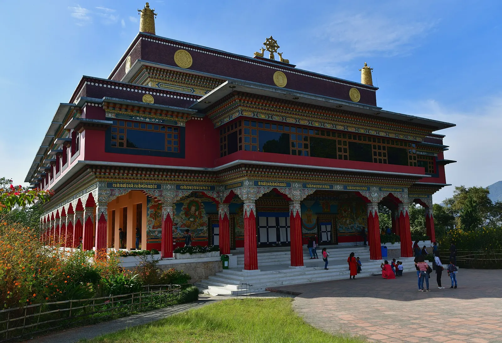
Temple, monastery or heritage site · 1,490 m
A Karma Kagyu monastery and retreat centre on a forested ridge north-east of Boudha, with views across the Kathmandu Valley.
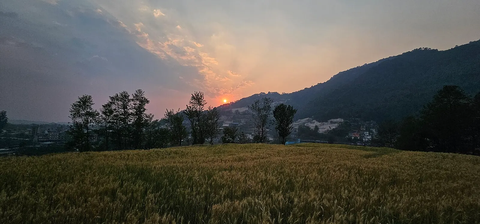
National park or conservation area · 2,732 m
Forested hills on Kathmandu's northern rim, protecting the valley's water sources, with day hikes to Shivapuri Peak, Nagi Gumba and Jamacho.
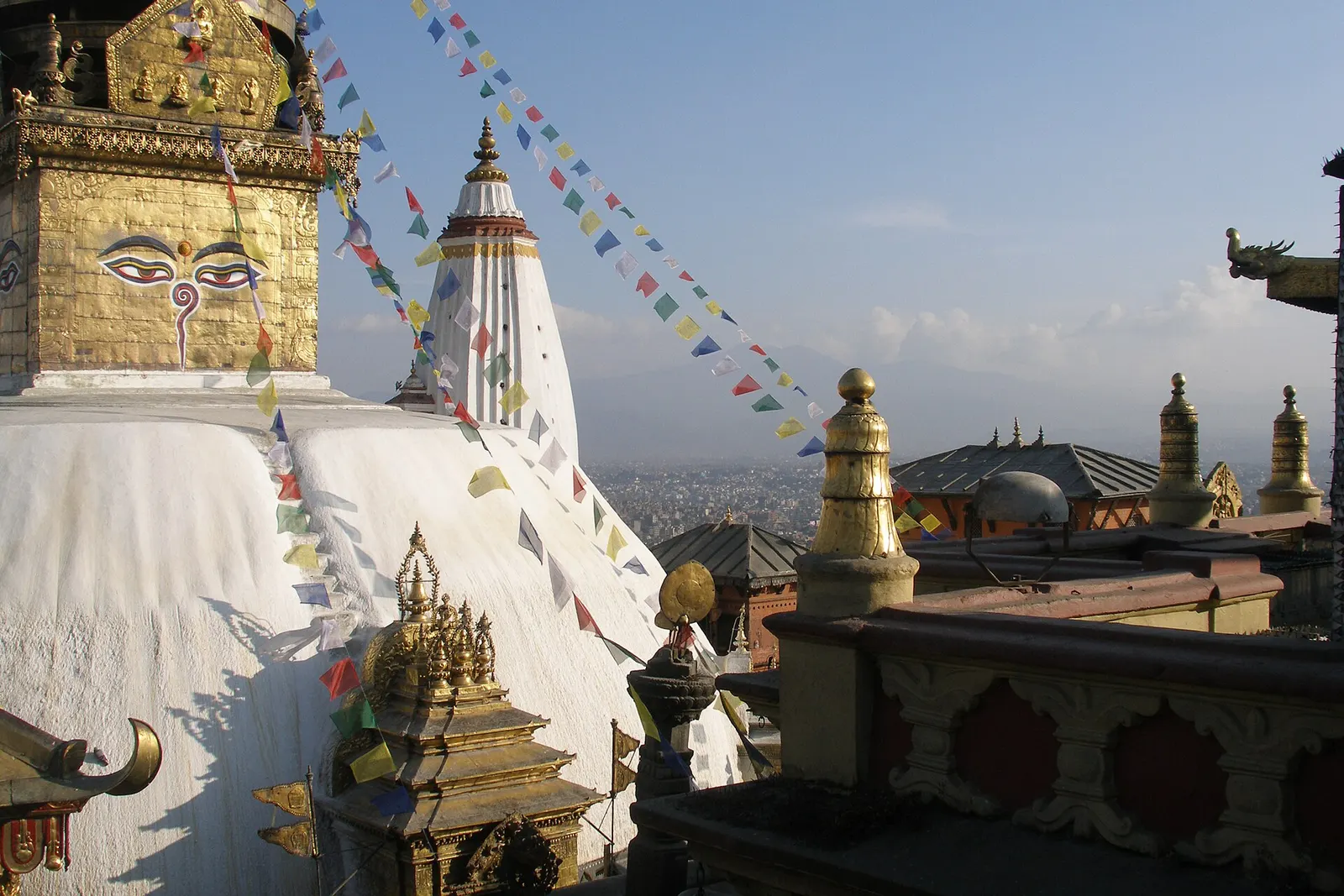
Temple, monastery or heritage site · 1,400 m
An ancient stupa on a wooded hill west of central Kathmandu, sacred to Buddhists and Hindus and home to a large troop of monkeys.
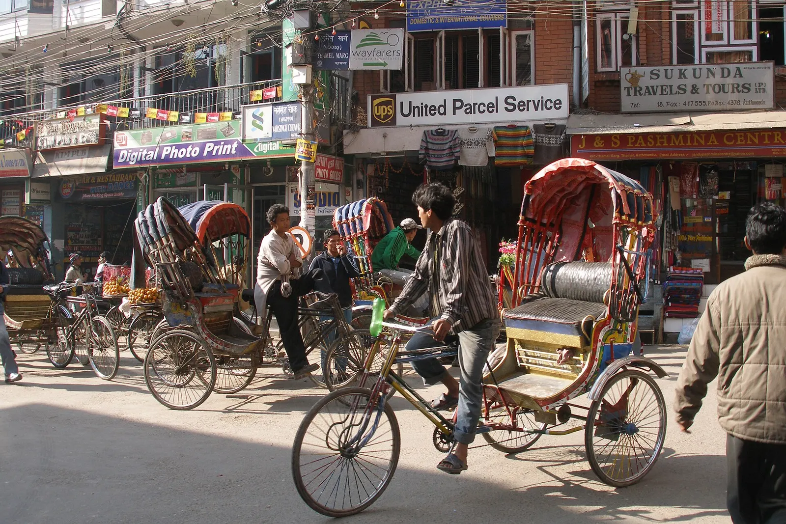
Town or village · 1,320 m
Kathmandu's traveller quarter of narrow lanes, guesthouses, trekking shops and cafes, a short walk north of the old city.
Tribhuvan International Airport, on the eastern side of the city, is Nepal's main international gateway with domestic flights across the country. By road, the Prithvi Highway connects Kathmandu with Pokhara and the Terai, and long-distance buses link it with border crossings to India and most district headquarters.
October to November and March to April are the most pleasant, with clear skies and mild days; winter mornings are cold and often hazy, and the monsoon from June to September brings warm, heavy afternoon rain.