

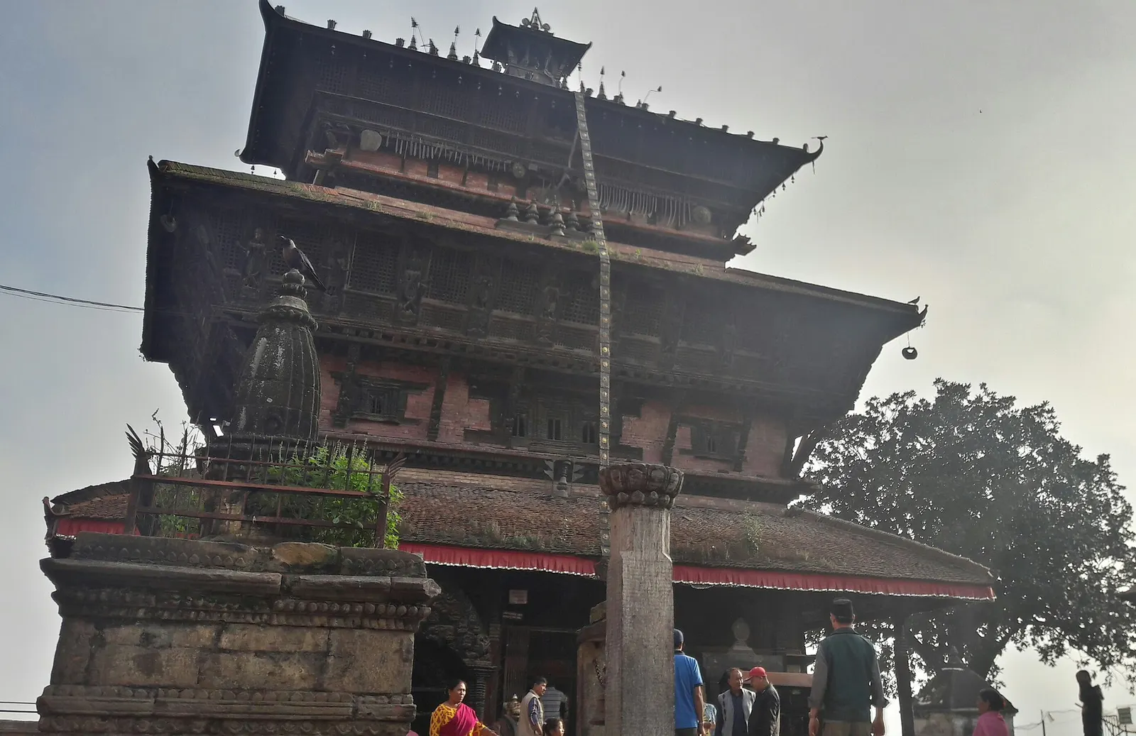
Town or village · 1,400 m
Kirtipur
An old Newar hill town on Kathmandu's south-western edge, with temples, valley views and a dramatic history of resistance.
Kathmanduचन्द्रागिरि
A hill on the Kathmandu Valley's south-western rim, reached by cable car, with a Shiva temple and wide Himalayan views.
This is Chandragiri hill on the south-western rim of the Kathmandu Valley, reached by cable car from Thankot; it is not Chandragiri near Tirupati in India.
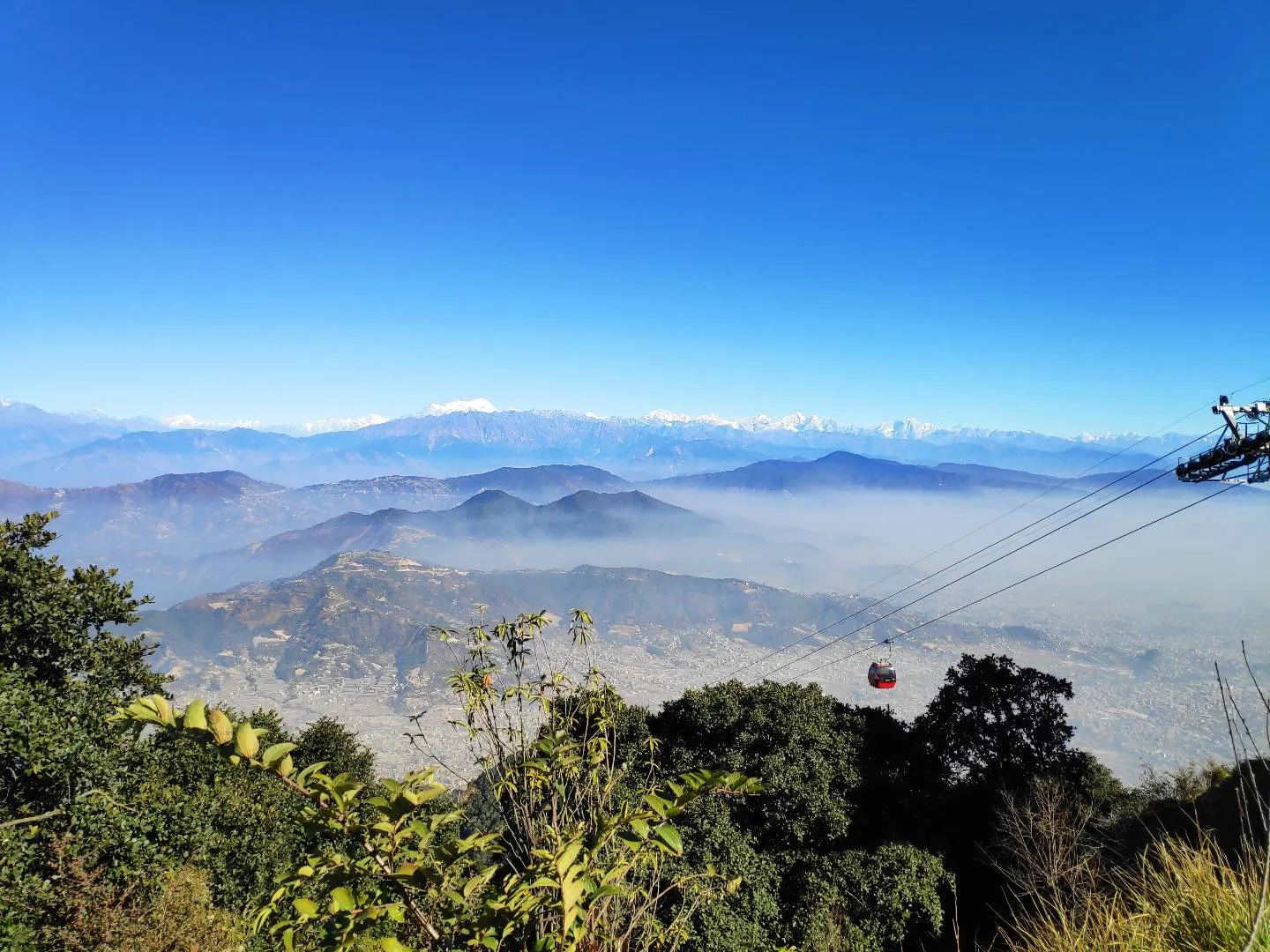
Chandragiri is the high point of the hills that close off the south-west of the Kathmandu Valley, rising to 2,551 m about 16 km from central Kathmandu. Since 2016 a gondola cable car has carried visitors from Thankot, on the valley floor, to the top in under ten minutes, over a line about 2.4 km long. From the summit there are views back over the whole valley and, on clear days, along a long stretch of the Himalaya to the north, from the Annapurna and Manaslu ranges in the west to Langtang and beyond in the east.
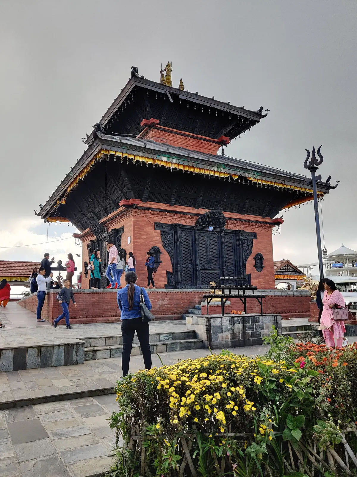
At the top, the Bhaleshwor Mahadev temple, a brick and wood pagoda to Shiva, is the main point of pilgrimage, and the summit area has been developed with viewing decks, gardens, restaurants and a resort hotel. It is a popular weekend outing for Kathmandu families, so weekdays and early mornings are quieter and usually clearer.
Fit walkers can hike up instead of riding: trails climb from Thankot, Matatirtha or Chitlang on the far side, through oak and rhododendron forest, in about 3-4 hours. Many people walk up and ride down.
The hill sits on the old main route into the valley. Before roads were built, travellers from the plains came via Bhimphedi and Chitlang and crossed the Chandragiri pass before descending to Thankot. Tradition holds that Prithvi Narayan Shah of Gorkha looked down on the valley from Chandragiri and resolved to conquer its kingdoms, which he did in the 1760s; this is a widely told story rather than a documented event.
The name combines the Sanskrit words for moon (chandra) and hill (giri). The Bhaleshwor Mahadev temple draws Hindu pilgrims, especially during Maha Shivaratri and on Mondays, the day sacred to Shiva. The cable car's lower station at Thankot was set on fire during the September 2025 protests in Nepal, and operations should be checked before visiting.
Ride the cable car
Take the gondola from Thankot, about 9-10 minutes each way; go early on a clear day for the best views.
Hike up through the forest
Walk up from Thankot or Matatirtha in about 3-4 hours and ride down.
Visit Bhaleshwor Mahadev
See the Shiva temple at the summit, busiest on Mondays and festival days.
Continue to Chitlang
Hike down the southern side to the village of Chitlang, an overnight homestay destination.
Forecast for 2,551 m. Conditions change fast in the mountains.
Weather data: MET Norway, licensed CC BY 4.0. A forecast, not a guarantee.
Oct-Feb
A resort hotel at the summit; homestays in Chitlang on the southern side. Most visitors come on a day trip.
No partner stays are listed here yet. List a property.
The cable car lower station is at Thankot, on the western edge of the valley, about 14-16 km from Thamel.
Nearest hub: Kathmandu
Nearest hub: Kathmandu. Times are typical ranges, not schedules, and vary with roadworks, weather and the season.
By busfrom Kathmanduabout 0.7-1.3 hLocal buses
Local buses towards Thankot and Naubise stop near the cable-car lower station on the western edge of the valley.
When to set off: come up early for the clearest mountain views, before midday haze
By car or jeepfrom Kathmanduabout 0.7-1.3 h
About 14 to 16 km to the Thankot lower station, where the gondola climbs 2.4 km to the summit in about 9 to 10 minutes.
Road: Sealed highway to Thankot with a steady climb; the station access road is short and surfaced.
When to set off: aim to be at the lower station soon after it opens; queues build on weekends and holidays
By motorbikefrom Kathmanduabout 0.6-1.1 hEasy riding
Easy sealed ride to Thankot; park at the lower station rather than riding the hill tracks.
Road: Sealed highway, busy with freight on the Naubise climb.
On footfrom Thankot or Matatirthaabout 3-4 h3-4 h from Thankot or Matatirtha, roughly 1,000 m of ascent
A steady forest climb from the valley floor to the summit, the alternative to the gondola.
When to set off: start by 07:00 to be on top before the cloud builds
Entry fee
No permit is needed for the hill, but the cable car is a paid ticket, priced differently for Nepali, SAARC and other foreign visitors.
Verify before travel: permit rules and fees change. Checked 2026-10-06 against Chandragiri Hills (operator).
What this place is typically exposed to, and when. These are seasonal patterns, not a report on conditions now.
Landslidesmoderate in a typical yearJun-Sep
The approach at Thankot is the start of the hill section of the Tribhuvan Highway, an unbroken series of climbs and descents where monsoon rain typically triggers slips and slow one-lane repairs.
Road blockagesmoderate in a typical yearJun-Sep
Between June and September heavy rain typically slows the Thankot approach and storms interrupt the gondola, so the summit can be unreachable for parts of a wet day.
Coldmoderate in a typical yearDec-Feb
At 2,551 m the summit is close to freezing at dawn in December and January and the ridge wind is sharp, so warm layers matter even on a clear day.
Othermoderate in a typical yearDec-Apr
Dry-season dust and haze are a normal feature of the Kathmandu valley, where measured PM2.5 has run several times the WHO guideline level. Visitors prone to asthma usually do better on early mornings and after rain.
Snowlow in a typical yearDec-Feb
Light snow falls on the ridge in some winters, which makes the viewing terraces and the walking path to the temple slippery.
Check current conditions before you travel
Roads, trails, passes and flights change with the weather and with roadworks, and nothing on this page describes conditions today. Before you set off, check the Department of Hydrology and Meteorology for weather and flood warnings, the Nepal Disaster Risk Reduction Portal for incidents, and the local authority, police or your licensed operator for road, trail and flight status.
About 9-10 minutes over a line of roughly 2.4 km from Thankot to the summit.
The summit is 2,551 m, about 1,200 m above Kathmandu.
On very clear days a long stretch of the Himalaya is visible; whether Everest itself can be picked out depends on conditions, so do not count on it.
Yes, trails from Thankot or Matatirtha reach the summit in about 3-4 hours.
Town or village · 1,400 m
An old Newar hill town on Kathmandu's south-western edge, with temples, valley views and a dramatic history of resistance.
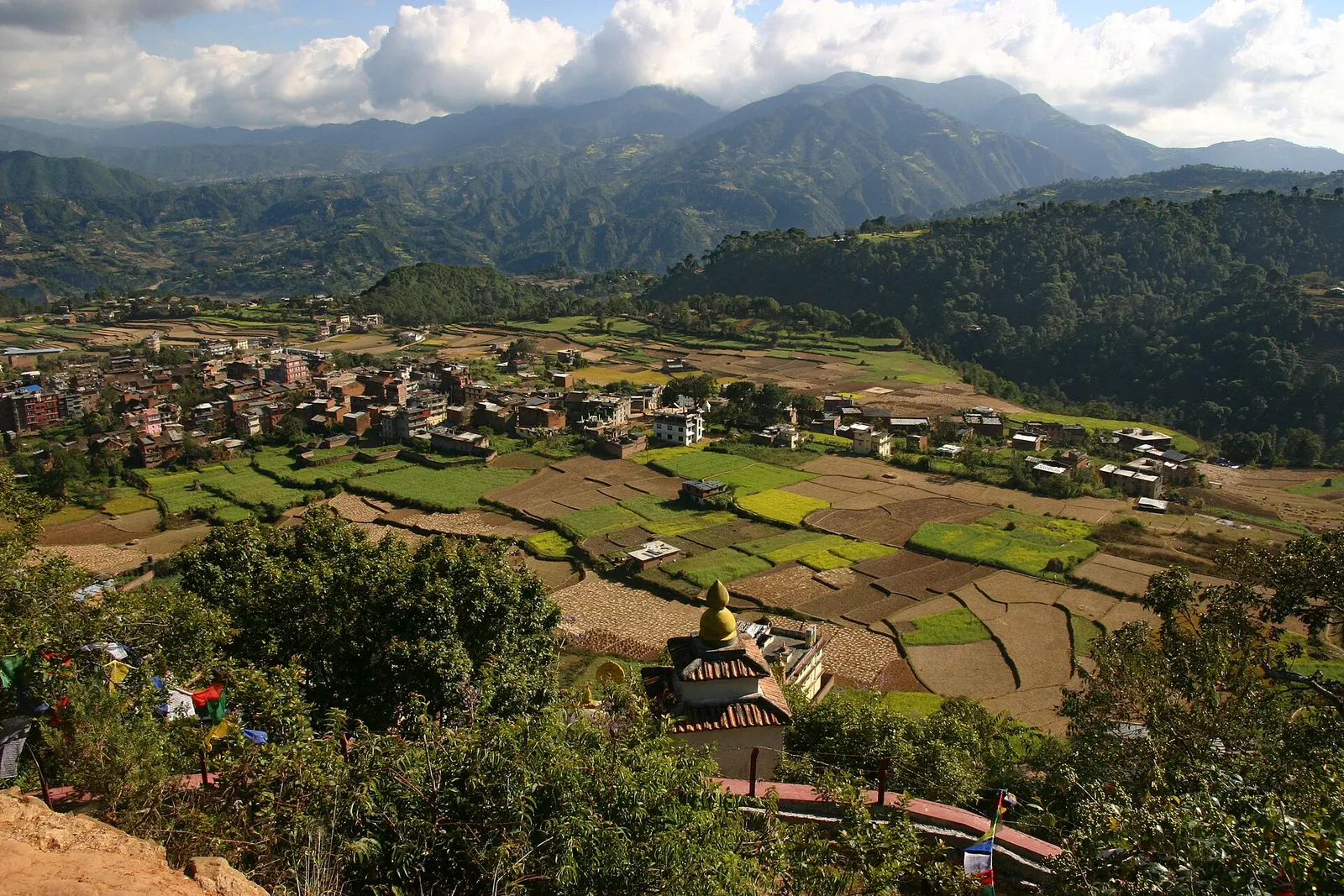
Town or village · 1,570 m
A small Newar town on the southern rim of the Kathmandu Valley, sacred to Vajrayana Buddhists for Guru Rinpoche's meditation caves.
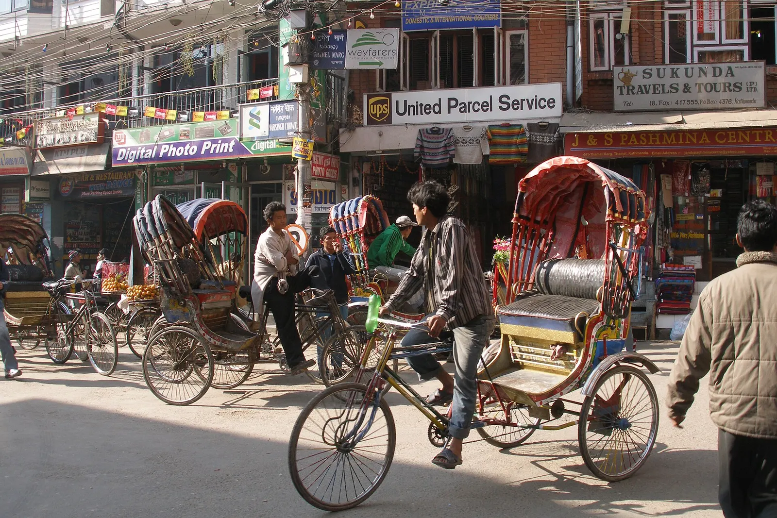
Town or village · 1,320 m
Kathmandu's traveller quarter of narrow lanes, guesthouses, trekking shops and cafes, a short walk north of the old city.
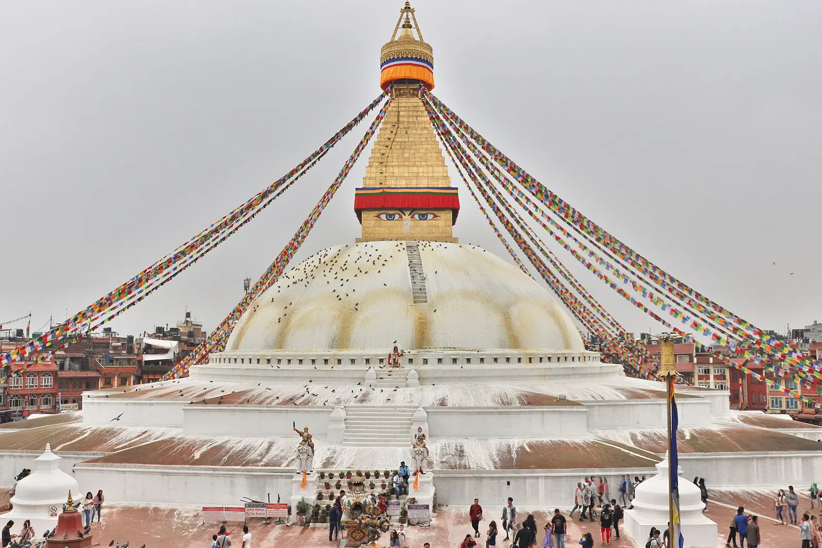
Temple, monastery or heritage site · 1,340 m
The great white stupa of north-east Kathmandu, centre of the valley's Tibetan Buddhist community and its many monasteries.
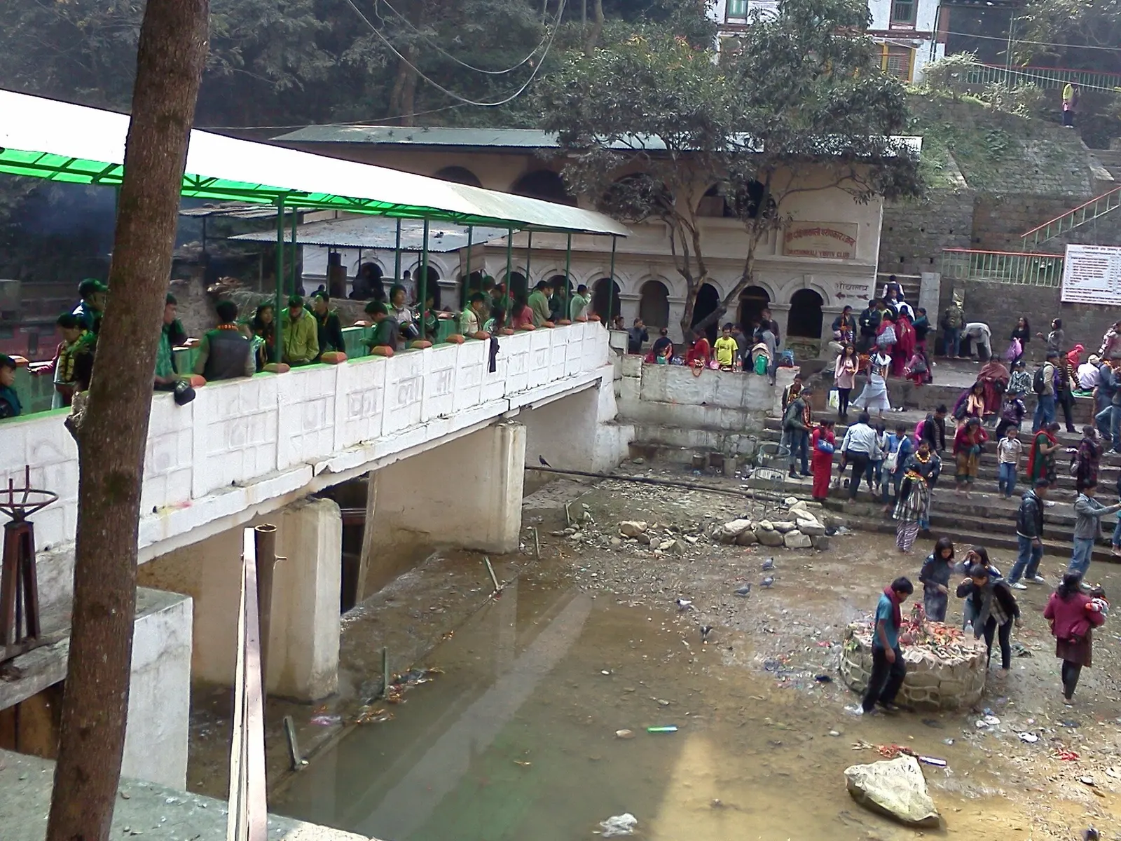
Temple, monastery or heritage site · 1,480 m
A Hindu temple to the goddess Kali in a forested gorge south of Pharping, known for its Tuesday and Saturday animal sacrifices.
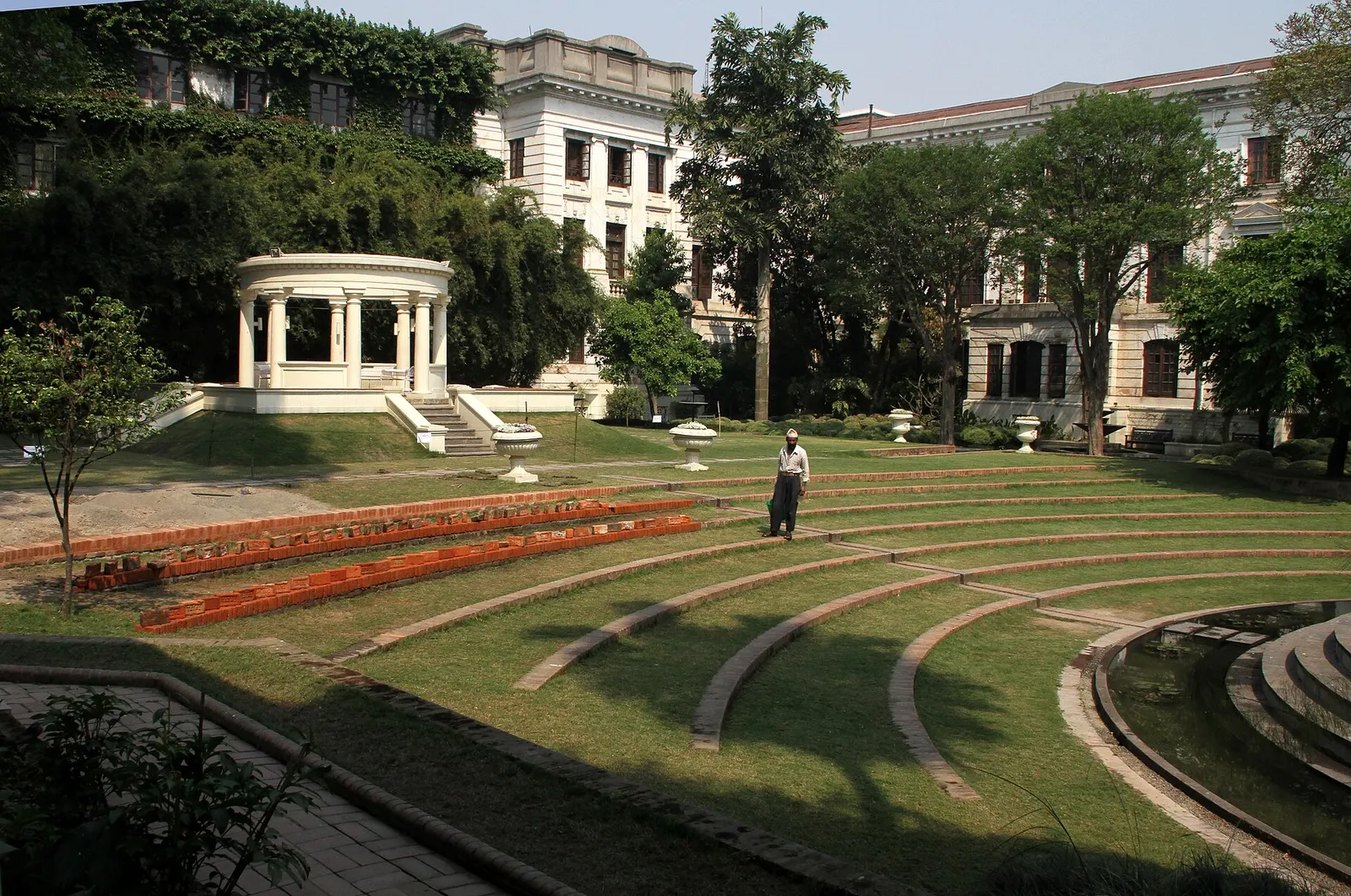
Temple, monastery or heritage site · 1,320 m
A restored 1920s Rana-era garden of pavilions, ponds and lawns at the edge of Thamel.
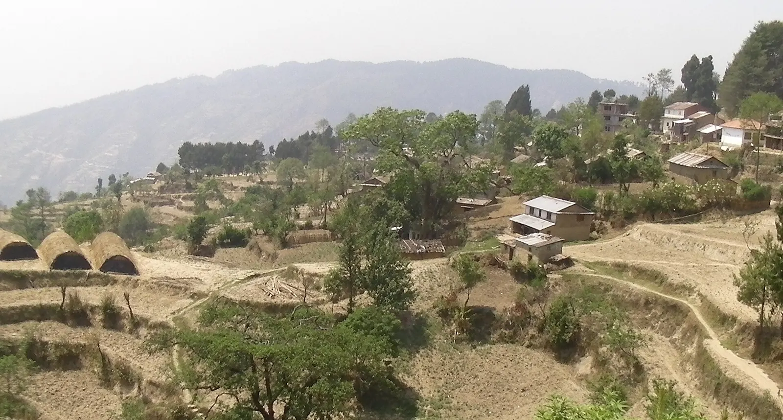
Viewpoint · 2,030 m
A quiet hill station just outside the Kathmandu Valley in Nuwakot, with Himalayan views, strawberry farms and memorial parks.
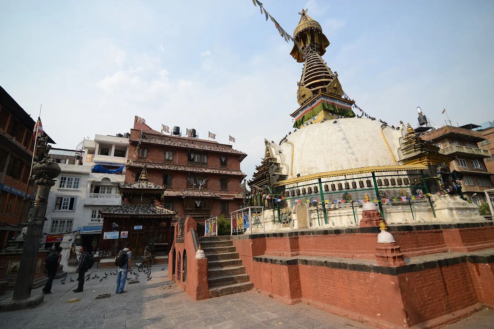
Temple, monastery or heritage site · 1,310 m
A centuries-old miniature of Swayambhunath in a quiet courtyard a few minutes' walk south of Thamel.
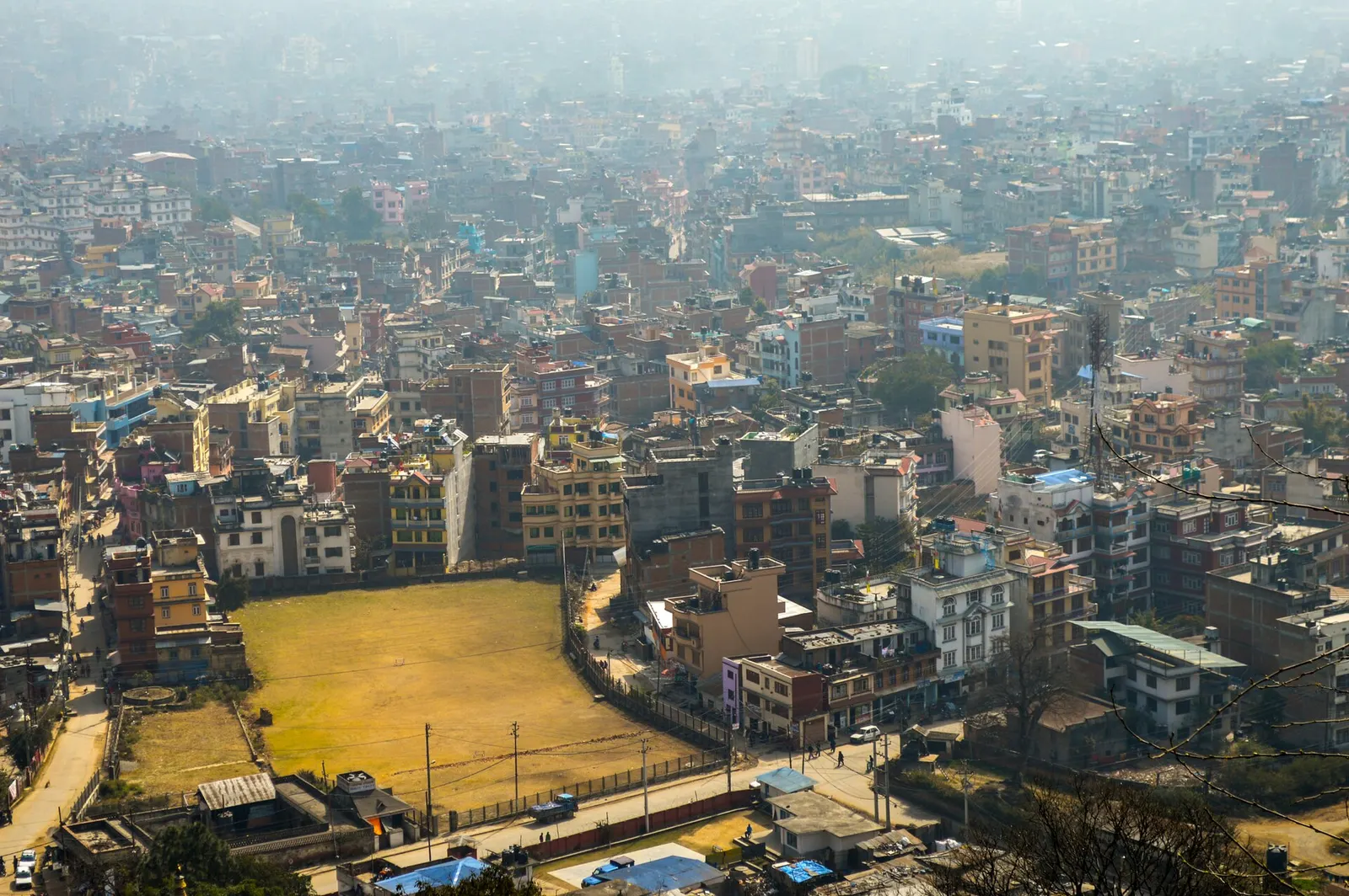
Town or village · 1,400 m
Nepal's capital, a sprawling valley city wrapped around a medieval Newar core, with major Hindu and Buddhist sites and the country's main airport.
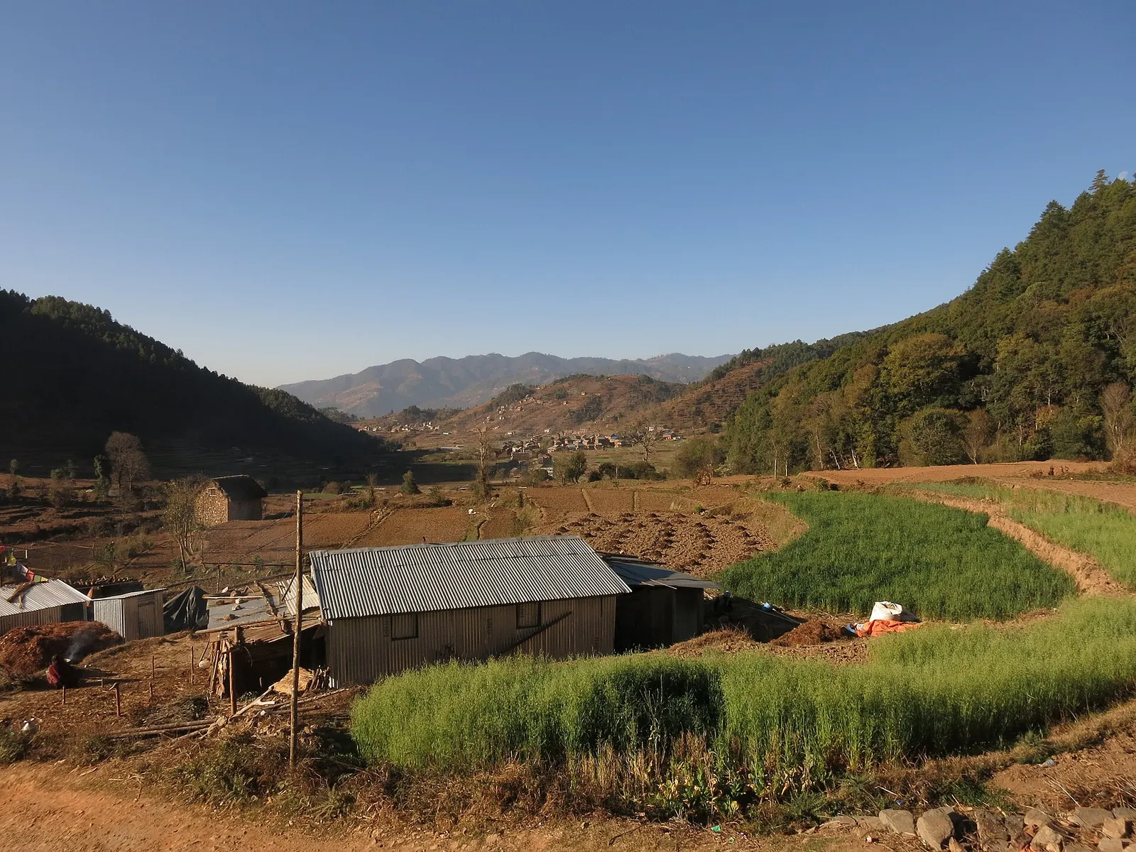
Town or village · 1,800 m
A historic Newar farming valley behind the Chandragiri ridge, on the old foot route between Kathmandu and the plains.
Town or village · 1,550 m
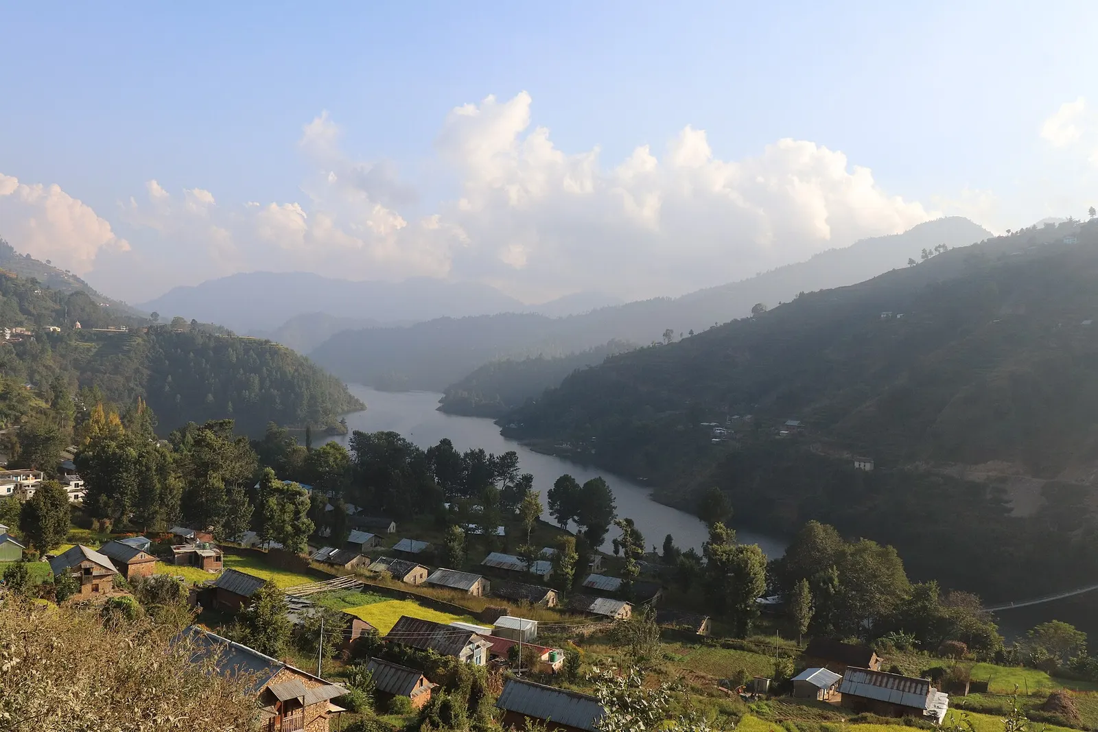
A lakeside village on the Indra Sarowar reservoir, the base for boating and fish lunches at Kulekhani.
Lake · 1,530 m
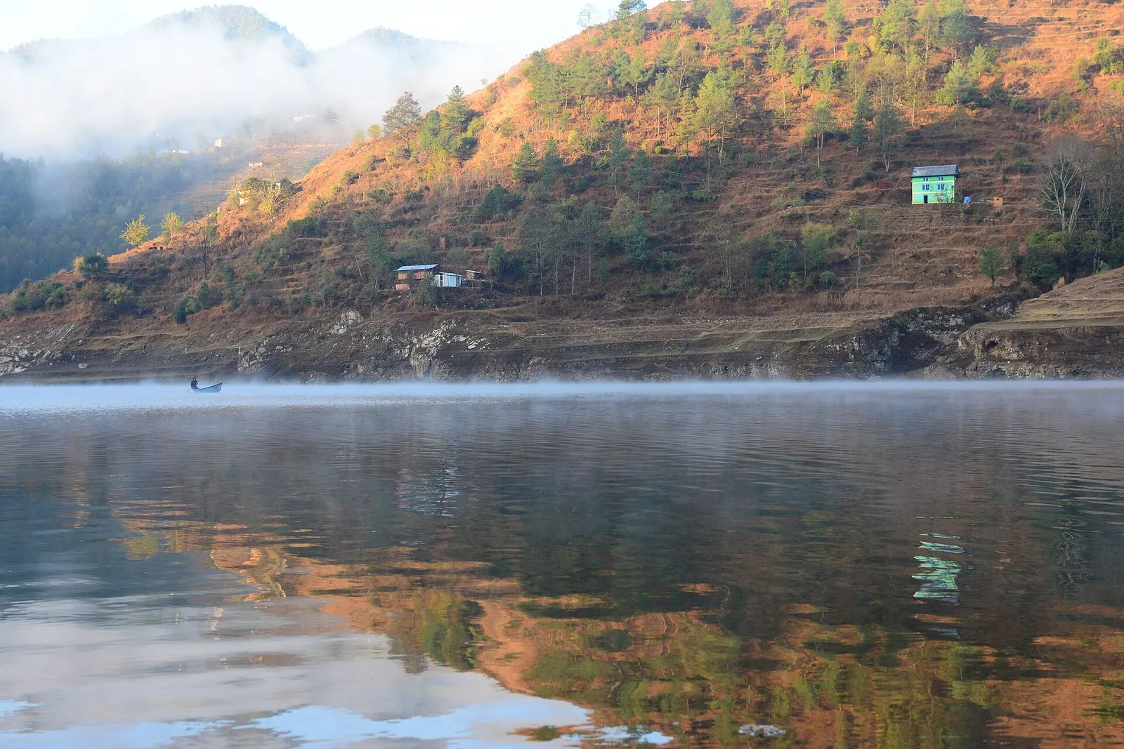
A long hydropower reservoir in the Makwanpur hills south-west of Kathmandu, with boating, lakeside villages and forested shores.