
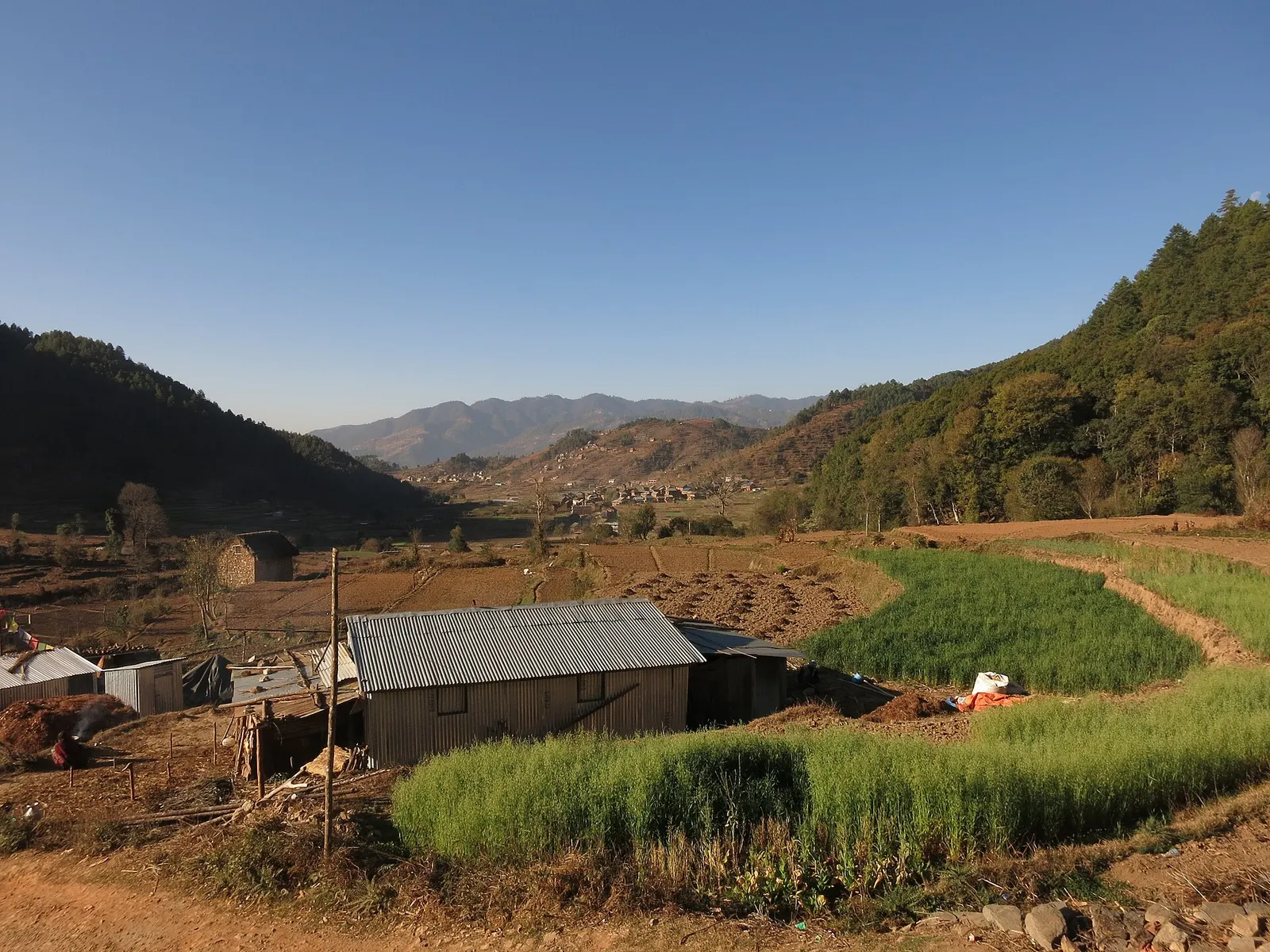
Town or village · 1,800 m
Chitlang
A historic Newar farming valley behind the Chandragiri ridge, on the old foot route between Kathmandu and the plains.
Bagmati Provinceमकवानपुर
Hills and Inner Terai between Kathmandu and the plains, known for Daman's mountain views, the Kulekhani reservoir and the old route through Chitlang.
Makwanpur stretches from the Mahabharat hills south of the Kathmandu Valley down into the Inner Terai around Hetauda. Kathmandu, Lalitpur and Dhading lie to the north, Chitwan to the west, Kavrepalanchok and Sindhuli to the east, and the Terai districts of Bara and Parsa to the south. The Rapti river flows past Hetauda, and the Kulekhani reservoir sits in the hills to the north.
Tamang communities are prominent in the hills, alongside Chepang, Newar, Brahmin and Chhetri people. Hetauda, the headquarters, is an industrial and transport town. Travellers come for the Himalayan panorama at Daman, boating and lakeside stays at Kulekhani (Indra Sarowar) and Markhu, the old trading village of Chitlang on the historic route to Kathmandu, and the hilltop fort of Makwanpur Gadhi.
Town or village · 1,800 m
A historic Newar farming valley behind the Chandragiri ridge, on the old foot route between Kathmandu and the plains.
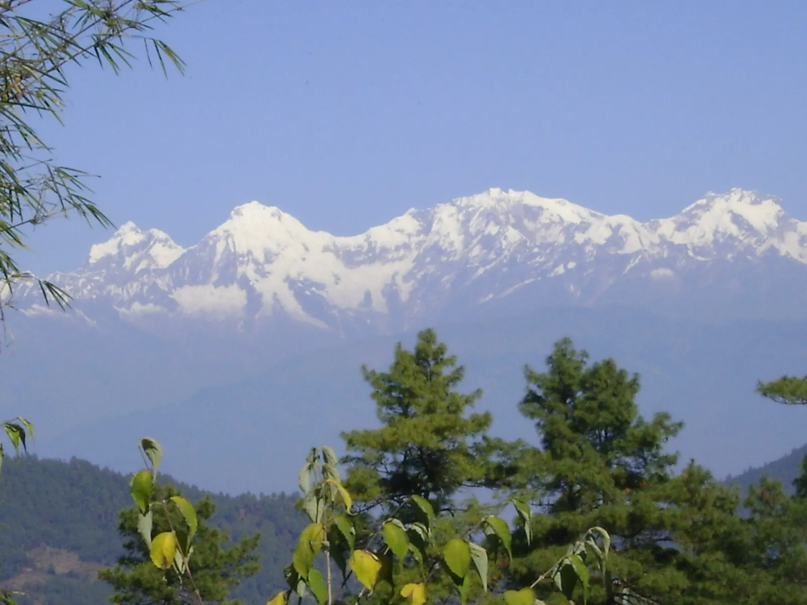
Viewpoint · 2,322 m
A ridge-top stop on the old Tribhuvan Rajpath with a wide Himalayan panorama and rhododendron forest.
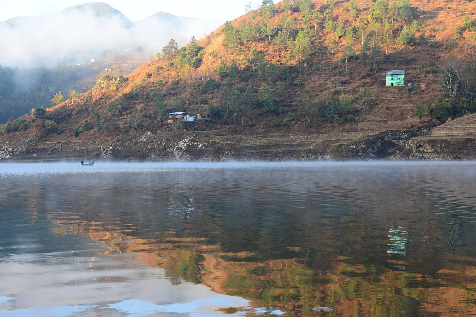
Lake · 1,530 m
A long hydropower reservoir in the Makwanpur hills south-west of Kathmandu, with boating, lakeside villages and forested shores.
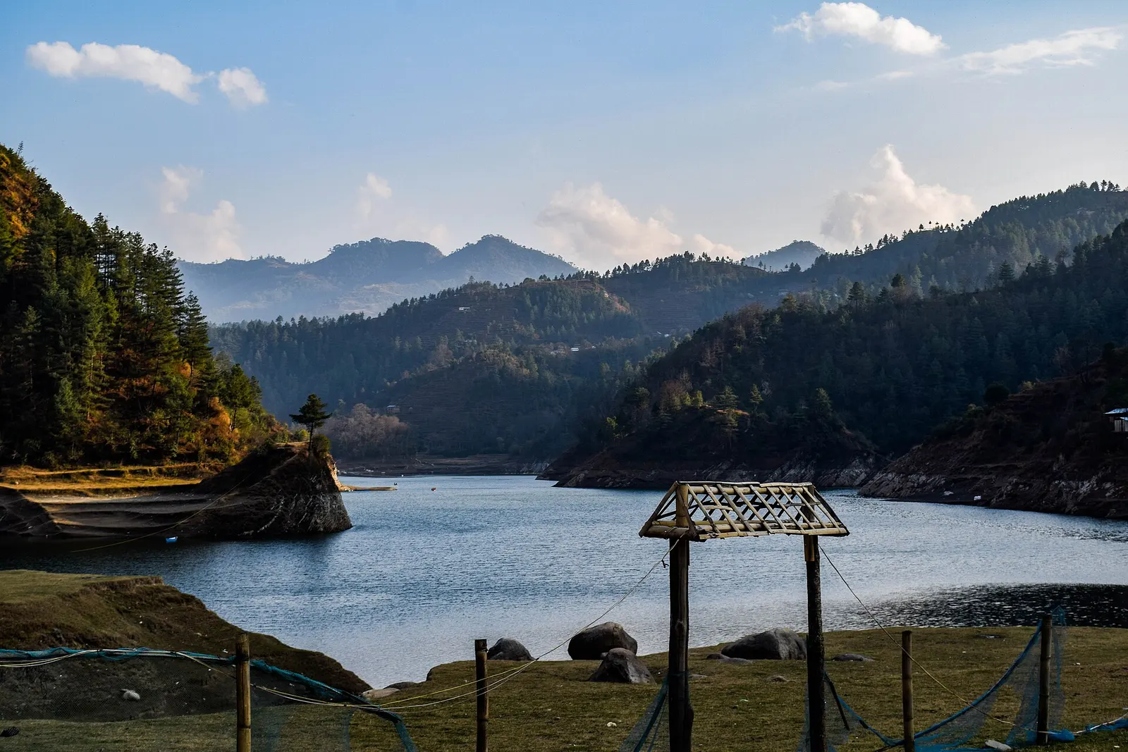
Valley or region
Mahabharat hills just over the south-west rim of the Kathmandu Valley: a Newar valley, a hydropower lake and a high viewpoint on the old Rajpath.
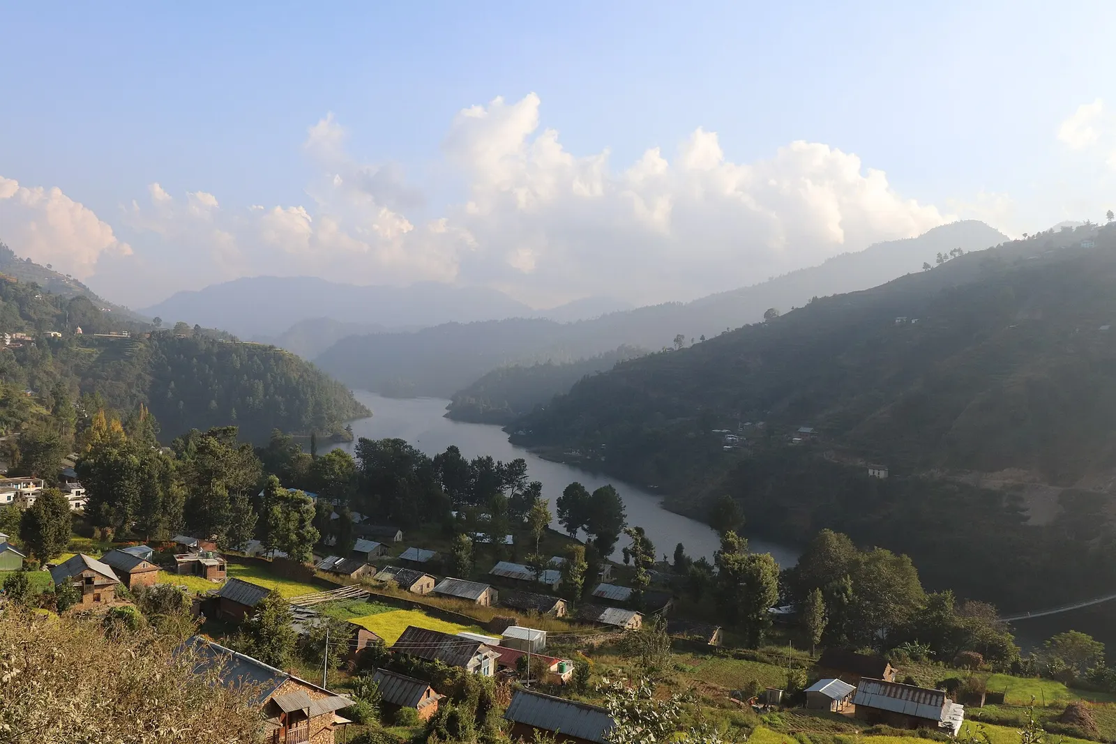
Town or village · 1,550 m
A lakeside village on the Indra Sarowar reservoir, the base for boating and fish lunches at Kulekhani.
Hetauda lies on the East-West Highway and is a few hours' drive from Kathmandu via Mugling and Narayangadh, or more directly over the hills. The winding Tribhuvan Rajpath climbs from the valley over Daman to Hetauda. Chitlang and Markhu are reached on local roads from the Kathmandu side. The nearest airports are Kathmandu and Simara.
October to April is best for clear views from Daman and pleasant weather in the hills; winters are cold on the ridges, Hetauda grows hot in spring, and the monsoon brings heavy rain and landslides on hill roads.