
Town or village
Dhading Besi
The headquarters town of Dhading district, a valley bazaar and the road gateway to Ganesh Himal, Ruby Valley and the northern hills.
Bagmati Provinceधादिङ
A long hill district west of Kathmandu, stretching from Trishuli river rafting to the Tamang villages and hot springs of the Ruby Valley.
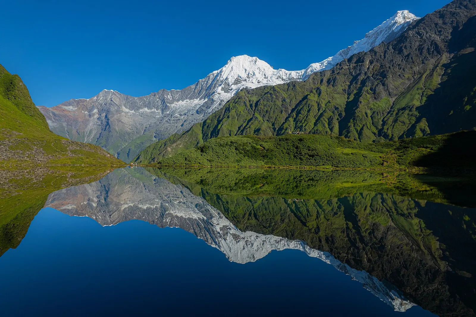
Dhading runs from the Mahabharat hills in the south to the Ganesh Himal and the Tibetan border in the north. The Trishuli river marks much of its southern and eastern edge, and the Budhi Gandaki forms its western boundary with Gorkha. Nuwakot and Rasuwa lie to the east, and Chitwan and Makwanpur to the south. The land rises from warm river valleys to high, steep hill country beneath the snow peaks.
Tamang, Gurung, Magar, Chepang, Newar, Brahmin and Chhetri communities live across the district, and most people farm. The southern belt along the Prithvi Highway sees steady traffic, with roadside bazaars and river-fish stops. Travellers come for rafting on the Trishuli, for the Ruby Valley trek through Tamang villages beneath Ganesh Himal, and for quiet hill walking away from the main trekking routes.
Town or village
The headquarters town of Dhading district, a valley bazaar and the road gateway to Ganesh Himal, Ruby Valley and the northern hills.
Town or village
A highway bazaar on the Trishuli river, known for its fried river fish and as a stop on rafting trips and the road to Dhading Besi.
Valley or region
Tamang and Ghale villages below the Ganesh Himal in northern Dhading, crossed on a newer trek over the Pangsang La.
The Prithvi Highway west from Kathmandu runs through the south of the district along the Trishuli, and a branch road climbs north to Dhading Besi in a few hours from the capital. Rough roads continue north towards the Ruby Valley trailheads, a long and bumpy day by jeep or bus. The nearest airport is Kathmandu.
Autumn (October to November) and spring (March to May) are best for trekking and mountain views; the monsoon brings landslides that often close northern roads, and winter is cold and snowy in the upper villages.