
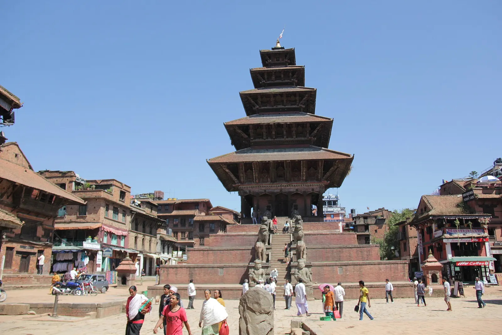
Town or village · 1,401 m
Bhaktapur
A medieval Newar city in the east of the Kathmandu Valley, known for its temple squares, pottery, woodcarving and festivals.
Bagmati Provinceभक्तपुर
Nepal's smallest district, home to the best-preserved Newar city in the valley and the sunrise viewpoint of Nagarkot.
Bhaktapur fills the eastern end of the Kathmandu Valley, bordered by Kathmandu to the north and west, Lalitpur to the south and Kavrepalanchok to the east. It is the smallest district in Nepal by area. The Hanumante river runs across the valley floor, which is largely farmland and brick-built towns, while the land climbs in the north-east to the forested ridge at Nagarkot on the valley rim.
The district is overwhelmingly Newar in character, and the city of Bhaktapur keeps its squares, temples, courtyards and water spouts in daily use. Pottery, woodcarving and the thick local curd known as juju dhau are local trades and specialities. Travellers come for the Durbar Square and Taumadhi area, the hilltop temple of Changu Narayan, the town of Madhyapur Thimi, and Himalayan sunrise views from Nagarkot.
Town or village · 1,401 m
A medieval Newar city in the east of the Kathmandu Valley, known for its temple squares, pottery, woodcarving and festivals.
Temple, monastery or heritage site · 1,540 m
A hilltop Vishnu temple north of Bhaktapur, widely regarded as the oldest temple site in the Kathmandu Valley, set in a small Newar village.
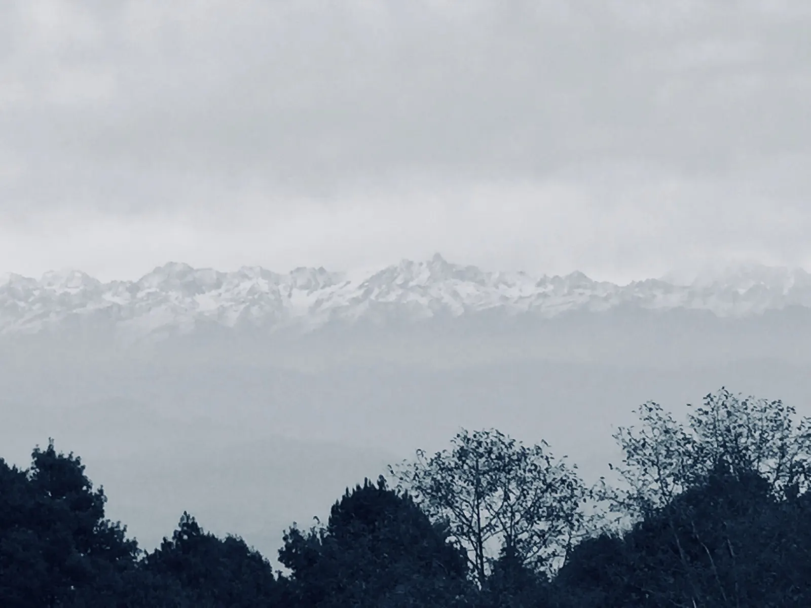
Viewpoint · 2,175 m
A ridge-top village on the eastern rim of the Kathmandu Valley, known for sunrise views across the Himalaya.
Bhaktapur is a short drive east of central Kathmandu along the Araniko Highway, and Tribhuvan International Airport is close by. Local buses and taxis run regularly between the two cities. Nagarkot is reached by a winding road that climbs from Bhaktapur up to the valley rim in roughly an hour.
October to April brings clear skies and the best mountain views from Nagarkot, while the monsoon from June to September is warm and wet with the peaks often hidden by cloud.