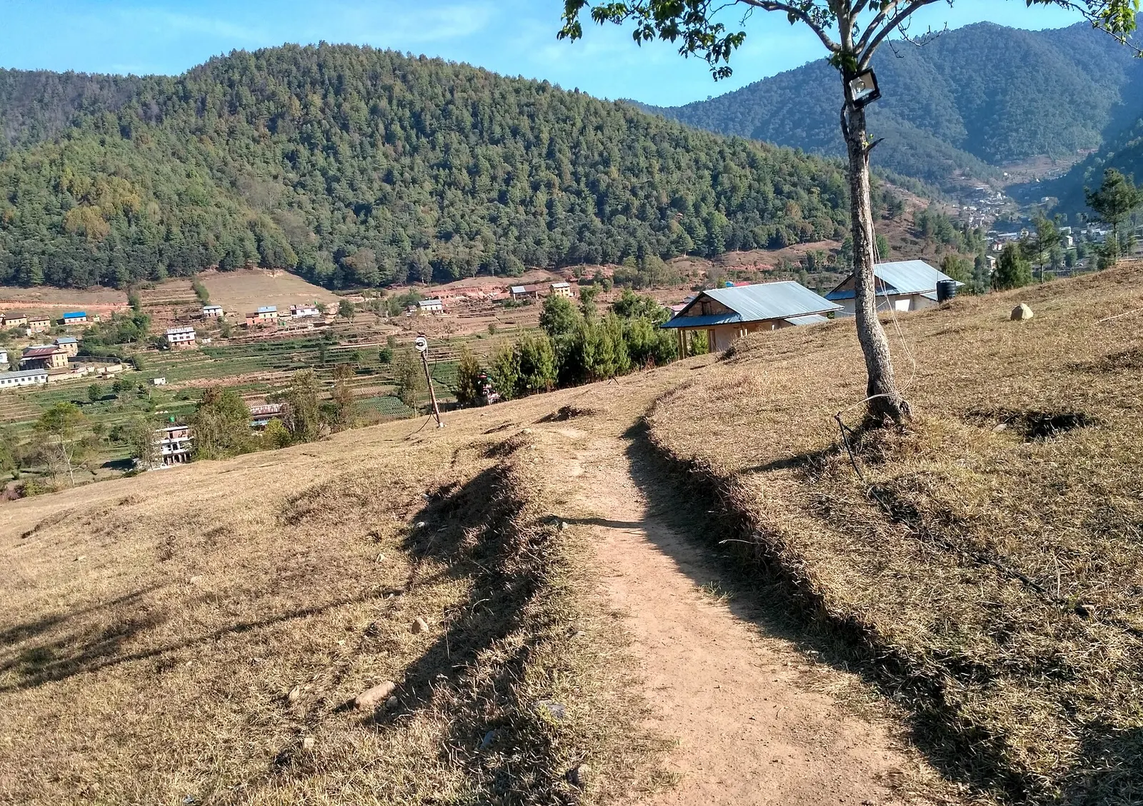


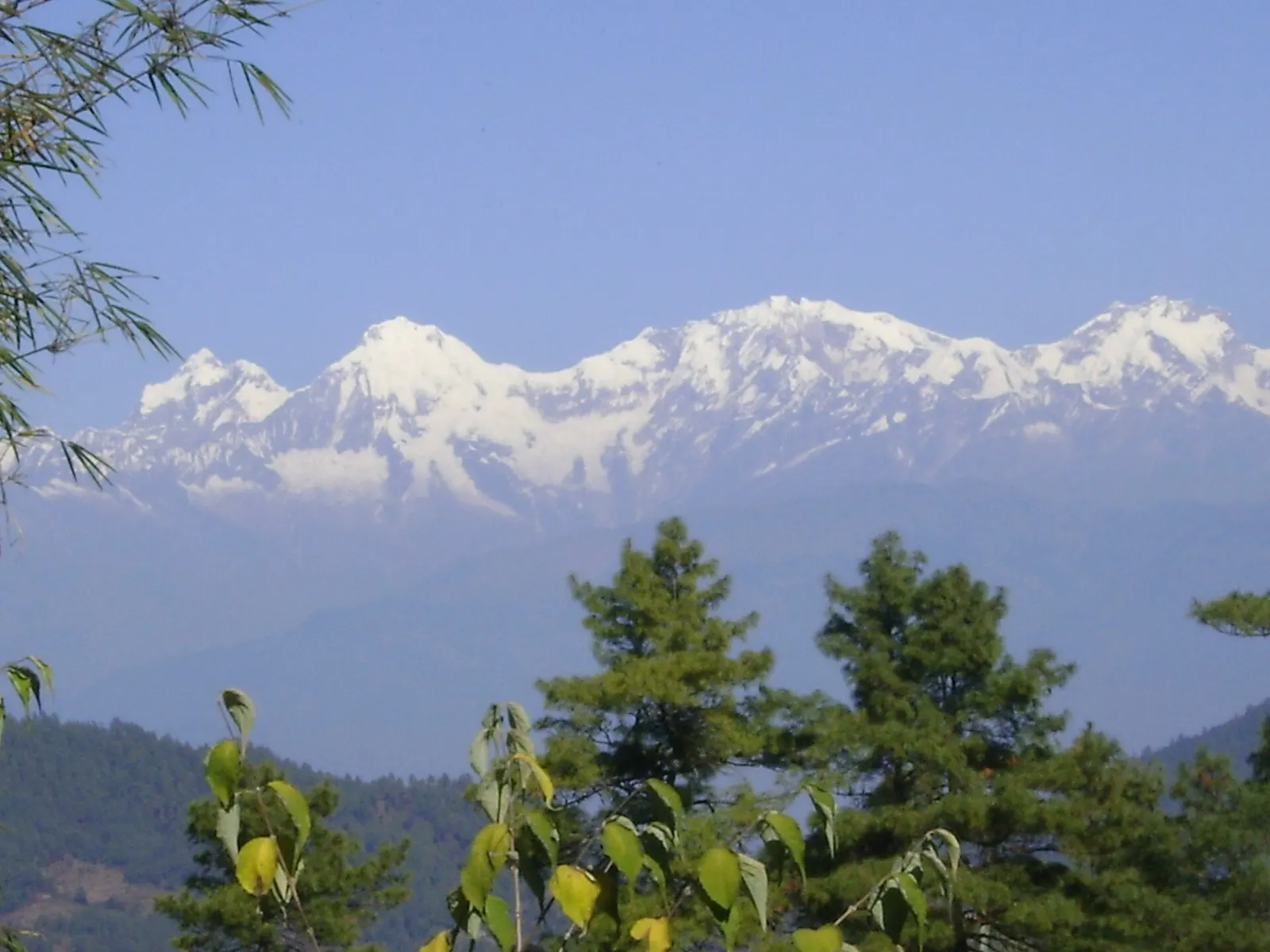
Viewpoint · 2,322 m
Daman
A ridge-top stop on the old Tribhuvan Rajpath with a wide Himalayan panorama and rhododendron forest.
Makwanpurचित्लाङ
A historic Newar farming valley behind the Chandragiri ridge, on the old foot route between Kathmandu and the plains.
Higher seasonal exposure: landslides (Jun-Sep), road blockages (Jun-Sep).
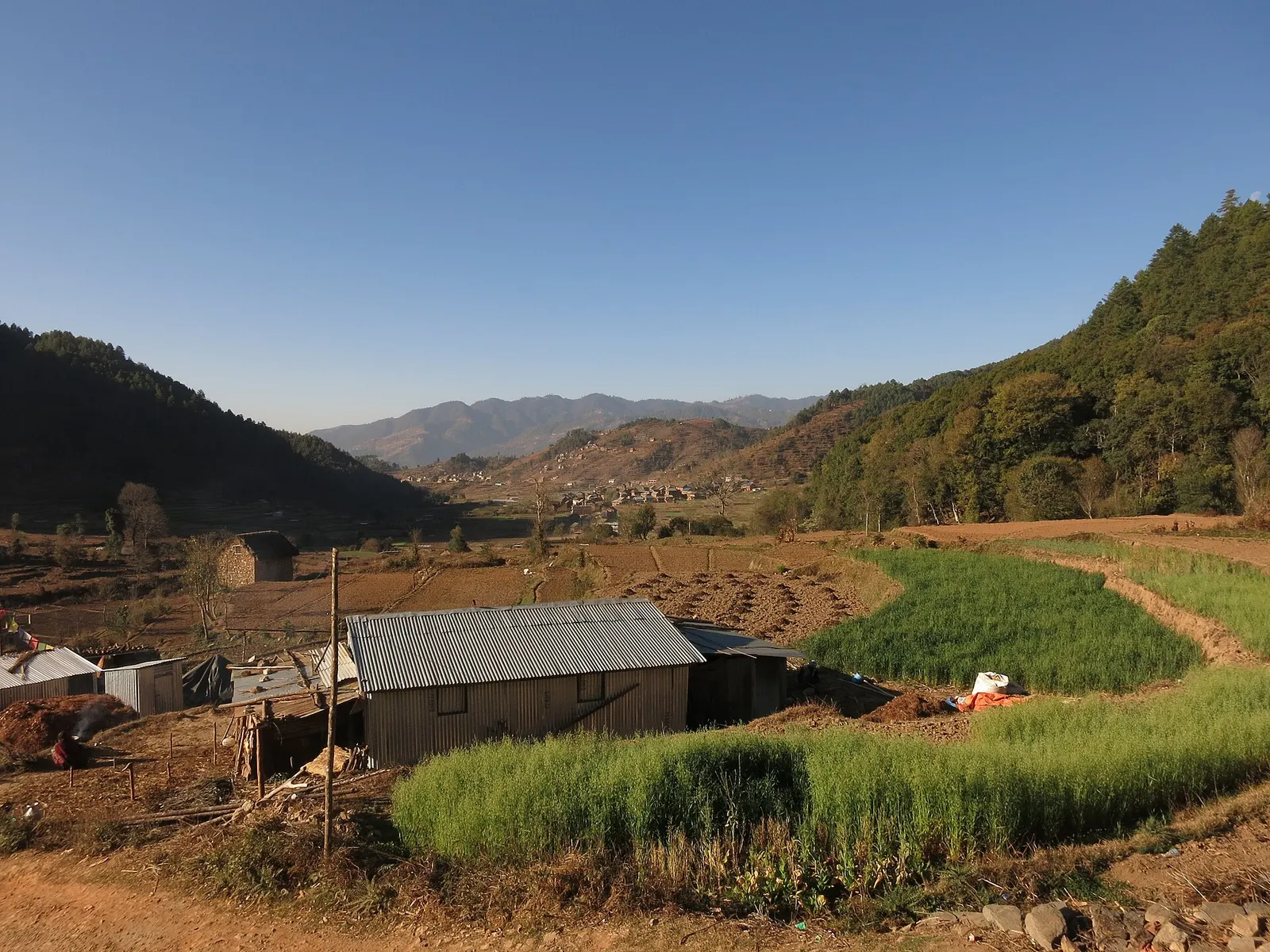
Chitlang is a valley in Thaha Municipality, Makwanpur, tucked into the Mahabharat range just south-west of the Kathmandu Valley. Once you cross the ridge from Thankot or Chandragiri, the noise of the city drops away and the valley opens into rice and vegetable terraces, clusters of brick houses and forested slopes.
It is the most popular homestay village in the Makwanpur hills. Visitors come for a night or two of village food and quiet, local goat cheese, walks to small temples and viewpoints, and the continuing route down to Markhu and the Kulekhani lake. Hikers often walk in over the hill from the Kathmandu side in half a day.
As part of the Makwanpur hub, Chitlang pairs naturally with Markhu and Kulekhani a few hours away, and with Daman further along the Tribhuvan Rajpath for mountain views.
Chitlang is an old Newar settlement. Inscriptions from the Licchavi period have been found here, including one attributed to King Amshuverma granting land to herders in parts of the valley; some historians link those herders, the Gopali, to the legendary Gopal dynasty. Historians still debate whether a Licchavi king was enthroned at Chitlang.
For centuries the main walking route from the Kathmandu Valley to the Terai and India crossed Chitlang via the Chandragiri pass, and travellers in the Rana period were carried along it. In the Malla era Chitlang paid dues to Patan, and it still keeps links with Patan's Rato Machhindranath festival and holds a local festival similar to Kathmandu's Indra Jatra. Today the valley is home to Newar, Tamang, Brahmin and Chhetri communities, and a local variety of Nepal Bhasa is spoken.
Hike from the Kathmandu side
Walk from Thankot or the Chandragiri ridge over the hill to Chitlang in about 3-5 hours.
Village and temple walk
Explore the hamlets, Ganesh shrine and small temples, and old stone paths on the valley floor.
Continue to Markhu
Walk or drive down to Markhu on the Kulekhani lake in about 2-3 hours for boating.
Forecast for 1,800 m. Conditions change fast in the mountains.
Weather data: MET Norway, licensed CC BY 4.0. A forecast, not a guarantee.
Feb-Apr, Oct-Dec
Community and family homestays are the main option, with a few small resorts in the valley.
No partner stays are listed here yet. List a property.
Chitlang is reached over the Chandragiri ridge from Thankot, by road or on foot.
Nearest hub: Kathmandu
Nearest hub: Kathmandu. Times are typical ranges, not schedules, and vary with roadworks, weather and the season.
By car or jeepfrom Kathmanduabout 1.5-3 h
Roughly 25 to 35 km over the Chandragiri ridge from Thankot; a jeep is the usual vehicle and the time varies with the state of the road.
Road: Sealed to Thankot, then a steep ridge road, part sealed and part rough; a jeep or 4WD is normally needed, especially in the monsoon.
When to set off: leave Kathmandu in the morning so the ridge crossing is done in daylight
By motorbikefrom Kathmanduabout 1.25-2.5 hExperienced riders only
A steep, rough climb over the ridge and a loose descent into the valley; dry-season riding is much easier.
Road: Steep ridge road with rough, loose and broken sections on both sides.
On footfrom Chandragiri Hillabout 3-5 h3-5 h over the Chandragiri ridge from Thankot, with a long descent into the valley
The old trade path over the hill from the valley rim down into Chitlang, the classic way to arrive.
When to set off: start by 08:00 for the crossing
None needed
No permit is needed to visit Chitlang.
Verify before travel: permit rules and fees change. Checked 2026-10-06 against Chitlang (Wikipedia).
What this place is typically exposed to, and when. These are seasonal patterns, not a report on conditions now.
Landslideshigh in a typical yearJun-Sep
The ridge road over Chandragiri and the rural roads down to the Kulekhani basin are steep and partly unsealed, and monsoon rain typically triggers slips and washouts between June and September.
Road blockageshigh in a typical yearJun-Sep
Hill roads in this corner are the weak link in the monsoon: after heavy rain the Chandragiri ridge road and the Kulekhani approaches are typically rutted and sometimes impassable to cars.
Othermoderate in a typical yearJun-Sep
Trails through the rice terraces are slippery and leech-ridden from June to September, and the ridge views are usually lost in cloud.
Coldmoderate in a typical yearDec-Feb
At about 1,800 m December to February brings frosty mornings and cold nights in simple homestays with no heating.
Check current conditions before you travel
Roads, trails, passes and flights change with the weather and with roadworks, and nothing on this page describes conditions today. Before you set off, check the Department of Hydrology and Meteorology for weather and flood warnings, the Nepal Disaster Risk Reduction Portal for incidents, and the local authority, police or your licensed operator for road, trail and flight status.
Drive via Thankot over the ridge road in about 1.5-3 hours, or hike over the hill from Thankot or Chandragiri in about 3-5 hours.
Yes. It is known for village homestays, and staying lets you walk on to Markhu and the Kulekhani lake the next day.
No permit is needed.
Homestays, Newar village life, goat cheese, and its history on the old walking route between Kathmandu and the plains.
Viewpoint · 2,322 m
A ridge-top stop on the old Tribhuvan Rajpath with a wide Himalayan panorama and rhododendron forest.
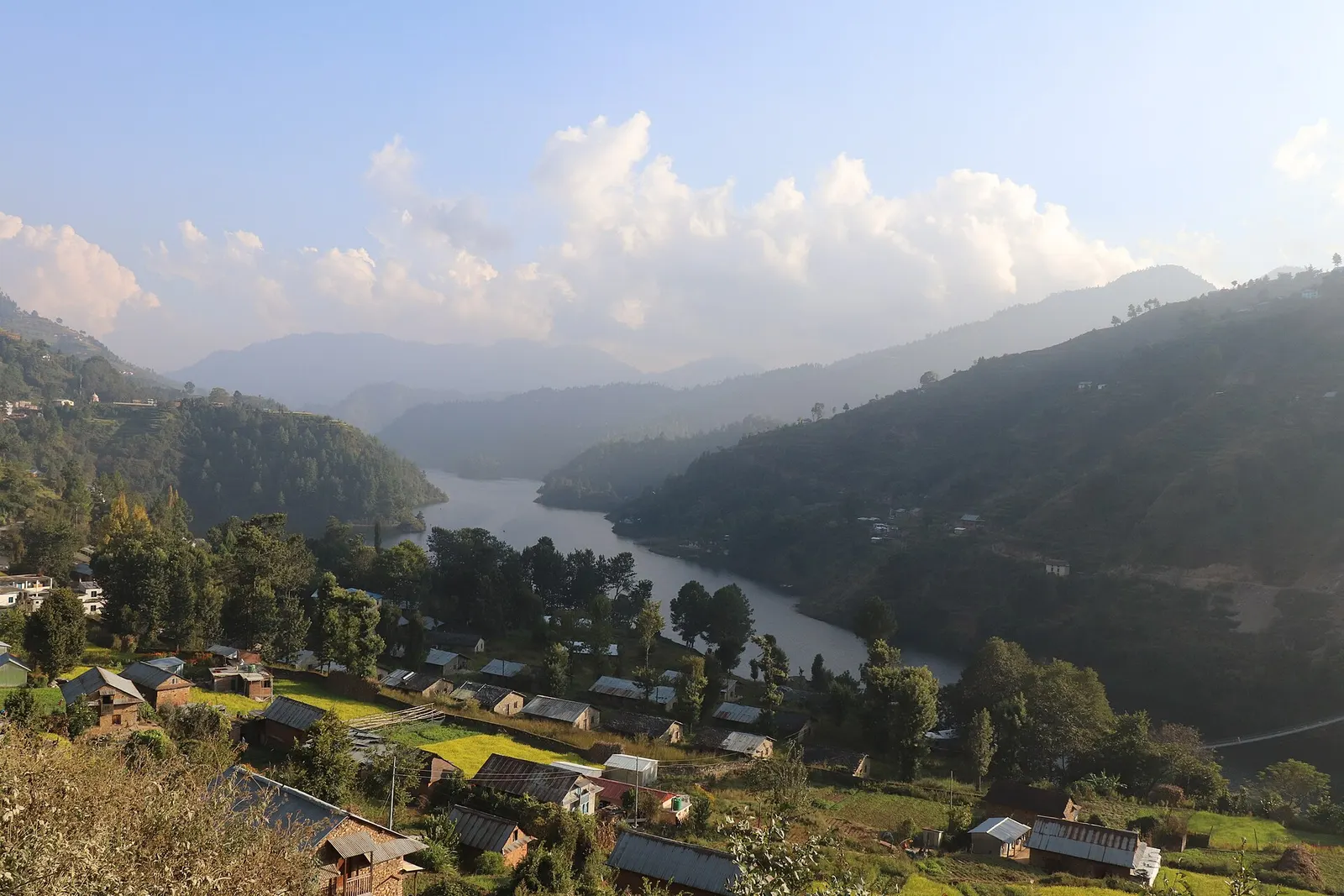
Town or village · 1,550 m
A lakeside village on the Indra Sarowar reservoir, the base for boating and fish lunches at Kulekhani.
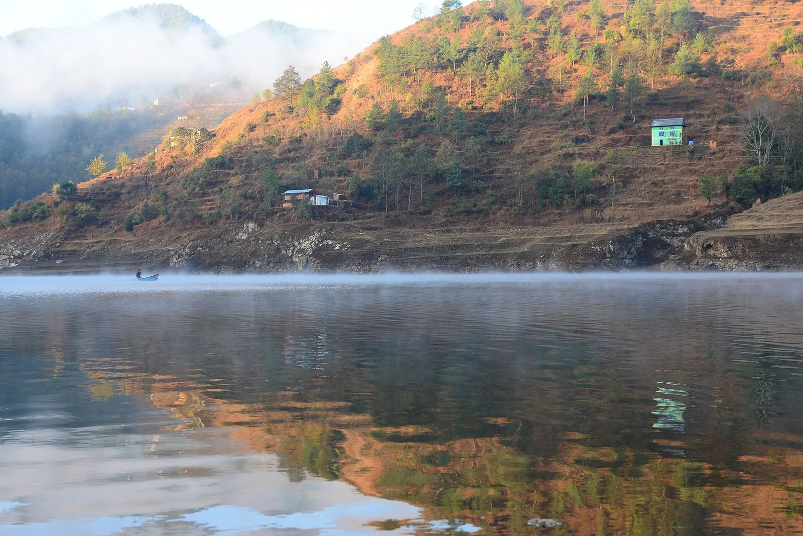
Lake · 1,530 m
A long hydropower reservoir in the Makwanpur hills south-west of Kathmandu, with boating, lakeside villages and forested shores.
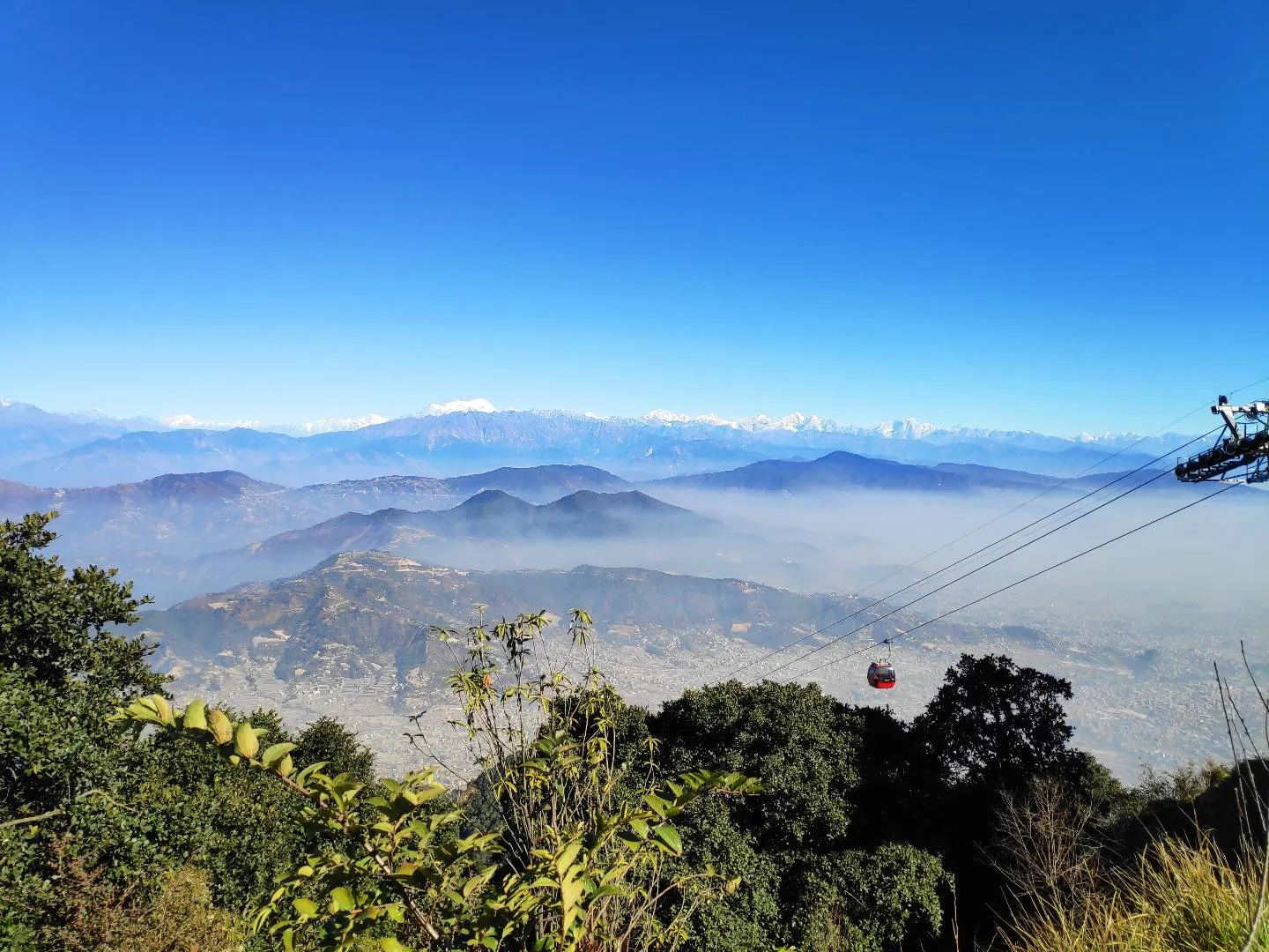
Viewpoint · 2,551 m
A hill on the Kathmandu Valley's south-western rim, reached by cable car, with a Shiva temple and wide Himalayan views.
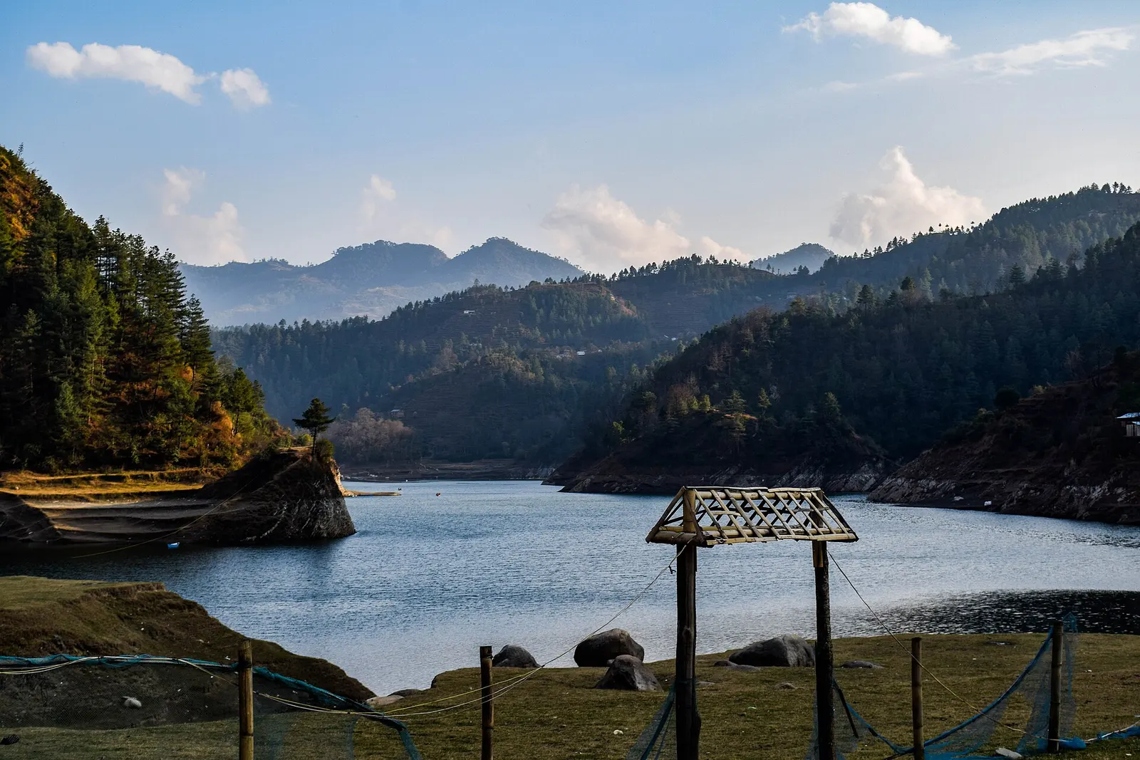
Valley or region
Mahabharat hills just over the south-west rim of the Kathmandu Valley: a Newar valley, a hydropower lake and a high viewpoint on the old Rajpath.