

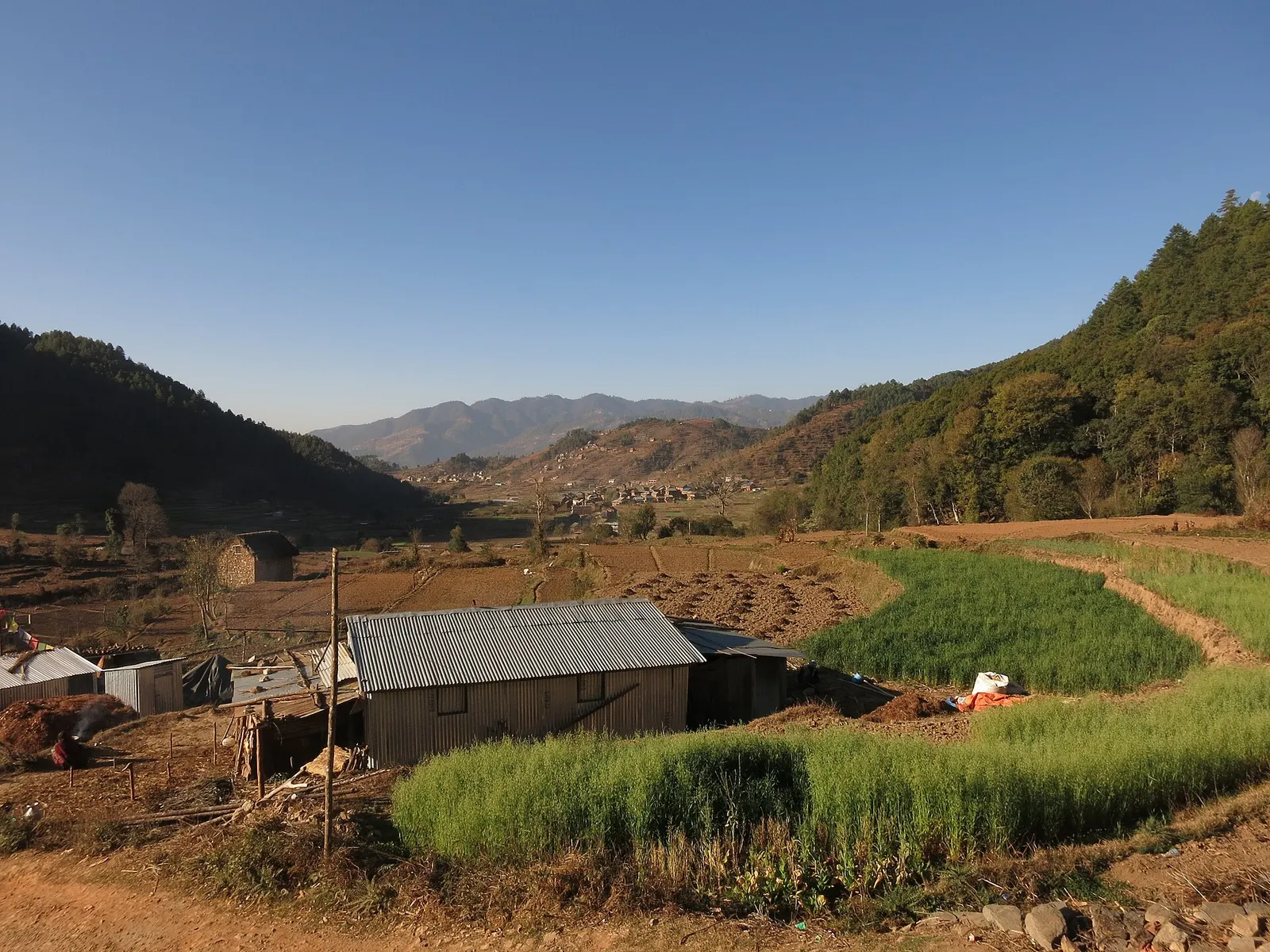
Town or village · 1,800 m
Chitlang
A historic Newar farming valley behind the Chandragiri ridge, on the old foot route between Kathmandu and the plains.
Makwanpurदामन
A ridge-top stop on the old Tribhuvan Rajpath with a wide Himalayan panorama and rhododendron forest.
This is the hill station on the Tribhuvan Rajpath in Makwanpur, Nepal, not Daman in India.
Higher seasonal exposure: landslides (Jun-Sep), road blockages (Jun-Sep).
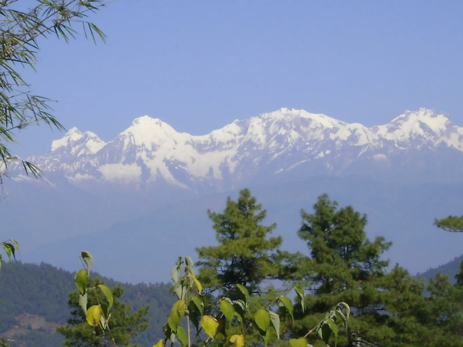
Daman sits at about 2,320 m on the Tribhuvan Rajpath, the winding mountain highway between Kathmandu and Hetauda, roughly 75-80 km from the capital. It is the high point of the Makwanpur hills, and on a clear day the view from the ridge runs along much of the central and eastern Himalaya, from Dhaulagiri in the west towards Everest in the east.
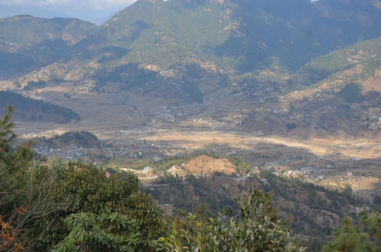
Most visitors come for sunrise. A viewing tower and hotel terraces face north across layered ridges to the snow line, and the Palung valley's farmland lies below. The surrounding forests of oak and rhododendron flower in spring, and Daman has a botanical garden with rhododendron species. Winter sometimes brings snow, which draws day-trippers from Kathmandu.
In the Makwanpur hub, Daman is the viewpoint stop; Chitlang, Markhu and the Kulekhani lake lie to the east, linked by rural roads. Trails from the ridge lead down to the Palung valley and to a small Tibetan Buddhist monastery about half an hour's walk away, and mountain bikers use the long descent towards Palung.
The Tribhuvan Rajpath, built in the 1950s with Indian assistance, was the first road linking the Kathmandu Valley with the plains, and Daman grew as a rest stop along it. Traffic dropped after faster highways opened, which left Daman quieter, with farming as the main livelihood.
Near Daman is the Rishishwar Mahadev temple, where water flows between large rocks. According to local legend, Shiva rested here while carrying the body of his wife Sati and struck the rock with his trident to bring out water. Fagu Purnima and Thulo Ekadashi are the main festival days there.
Sunrise viewing
Be at the view tower or a hotel terrace before dawn; clouds usually build by mid-morning.
Botanical garden
Walk among rhododendron and other hill species, best in March and April when they flower.
Rishishwar Mahadev temple
Visit the small Shiva shrine near Daman where spring water flows between rocks.
Forecast for 2,322 m. Conditions change fast in the mountains.
Weather data: MET Norway, licensed CC BY 4.0. A forecast, not a guarantee.
Oct-Mar
A handful of hotels, resorts and simple lodges along the highway, many with mountain-facing rooms.
No partner stays are listed here yet. List a property.
Daman is on the Tribhuvan Rajpath, about 75-80 km south-west of Kathmandu, usually 3-4 hours by road.
Nearest hub: Kathmandu
Nearest hub: Kathmandu. Times are typical ranges, not schedules, and vary with roadworks, weather and the season.
By busfrom Kathmanduabout 3.5-5 hLocal buses
Local buses run the Rajpath from Kathmandu via Naubise, and up from Hetauda in the south in about 2 to 3 hours.
When to set off: take an early bus: Rajpath services are sparse and the ridge is best reached before dusk
By car or jeepfrom Kathmanduabout 3-4 h
About 75 to 80 km south-west via Thankot and Naubise onto the Tribhuvan Rajpath, which climbs in long sequences of hairpins.
Road: Sealed but very narrow and endlessly winding, with monsoon-damaged and repaired sections; drive it in daylight.
When to set off: leave Kathmandu by 07:00 to be on the ridge for the afternoon, and stay the night for the dawn view
By motorbikefrom Kathmanduabout 3-4.5 hModerate riding
The Rajpath is a classic ride, but the hairpins are relentless and the surface broken in places; cold and fog on the ridge matter in winter.
Road: Sealed, narrow and tightly winding with broken patches; icy on shaded bends in some winters.
When to set off: start at first light for the climb
None needed
No permit is needed. The view tower and botanical garden may charge small entry fees.
Verify before travel: permit rules and fees change. Checked 2026-10-06 against Daman, Nepal (Wikipedia).
What this place is typically exposed to, and when. These are seasonal patterns, not a report on conditions now.
Landslideshigh in a typical yearJun-Sep
Daman sits on the Tribhuvan Rajpath, an unbroken series of climbs and descents through the hills, and the road is prone to landslides and slope failures in the June to September rains.
Road blockageshigh in a typical yearJun-Sep
Monsoon slips typically block or narrow sections of the Rajpath on both the Naubise and Hetauda sides, so journey times in July and August are unpredictable.
Coldmoderate in a typical yearDec-Feb
At 2,322 m December to February mornings are below freezing with heavy frost, and lodge rooms are poorly heated.
Snowmoderate in a typical yearDec-Feb
Snow falls on the Daman ridge in some winters and can leave the Rajpath icy on the shaded bends above the village.
Othermoderate in a typical yearJun-Sep
From June to August cloud usually hides the Himalayan panorama, which is the whole point of coming up here.
Check current conditions before you travel
Roads, trails, passes and flights change with the weather and with roadworks, and nothing on this page describes conditions today. Before you set off, check the Department of Hydrology and Meteorology for weather and flood warnings, the Nepal Disaster Risk Reduction Portal for incidents, and the local authority, police or your licensed operator for road, trail and flight status.
About 75-80 km by the Tribhuvan Rajpath, usually 3-4 hours by road.
On very clear days the panorama stretches from Dhaulagiri in the west towards Everest in the east.
Snow falls on some winter days, usually between December and February.
October to February for clear views, and March-April for rhododendron flowers.
Town or village · 1,800 m
A historic Newar farming valley behind the Chandragiri ridge, on the old foot route between Kathmandu and the plains.
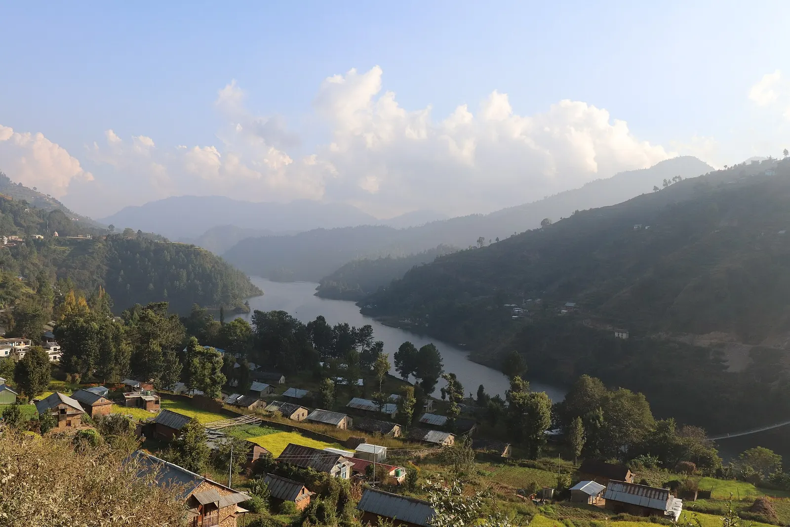
Town or village · 1,550 m
A lakeside village on the Indra Sarowar reservoir, the base for boating and fish lunches at Kulekhani.
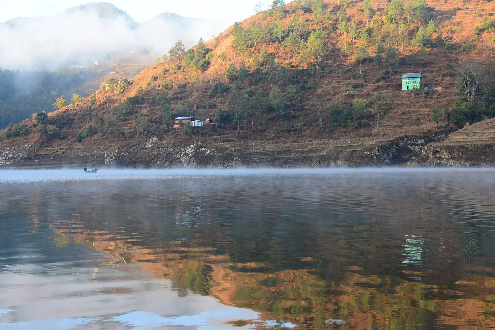
Lake · 1,530 m
A long hydropower reservoir in the Makwanpur hills south-west of Kathmandu, with boating, lakeside villages and forested shores.
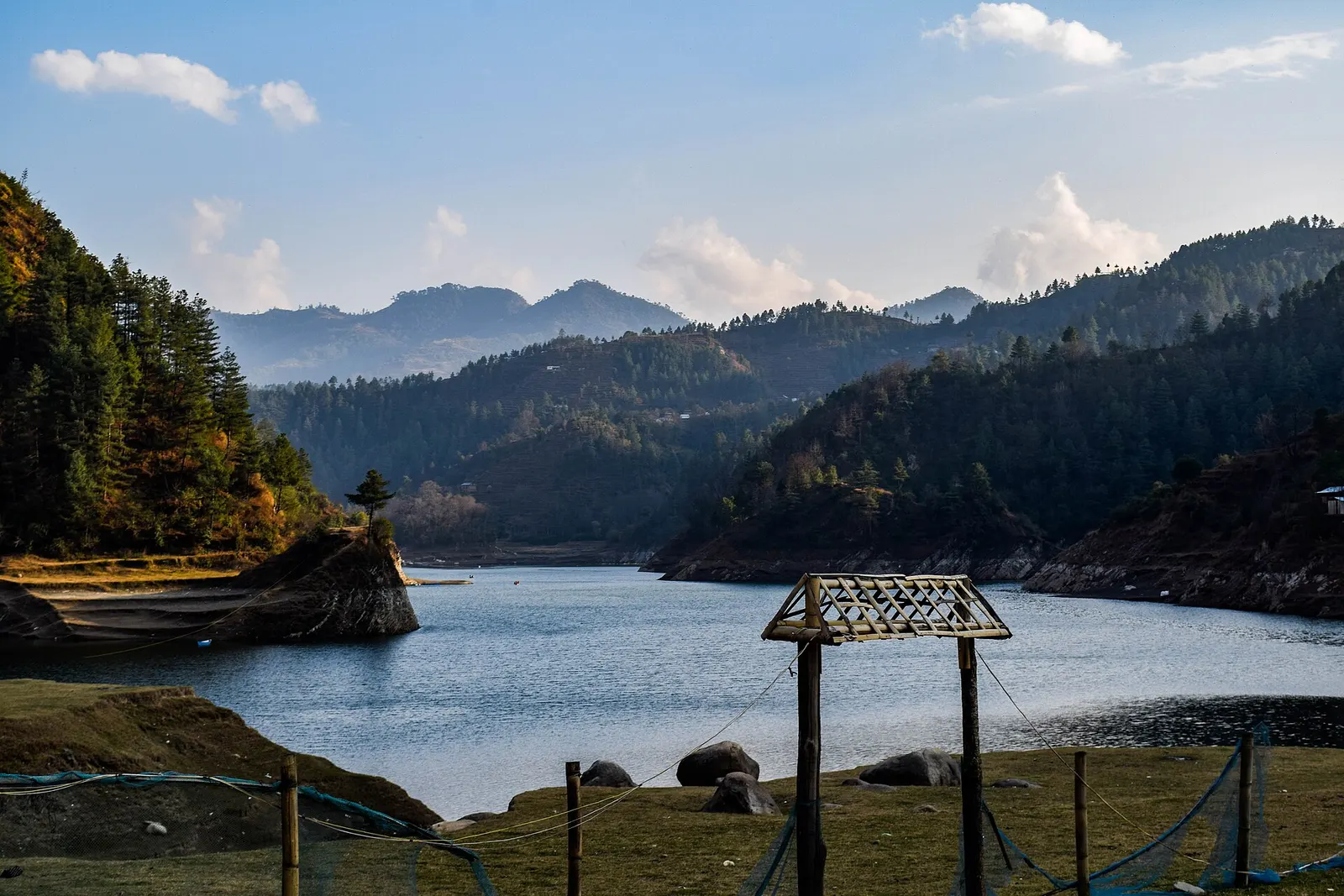
Valley or region
Mahabharat hills just over the south-west rim of the Kathmandu Valley: a Newar valley, a hydropower lake and a high viewpoint on the old Rajpath.