Skip to content

Kathmandu Valleyपनौती

Panauti

A small medieval Newar town at a river confluence south-east of the Kathmandu Valley, with old temples, quiet lanes and community homestays.

Plan a trip here
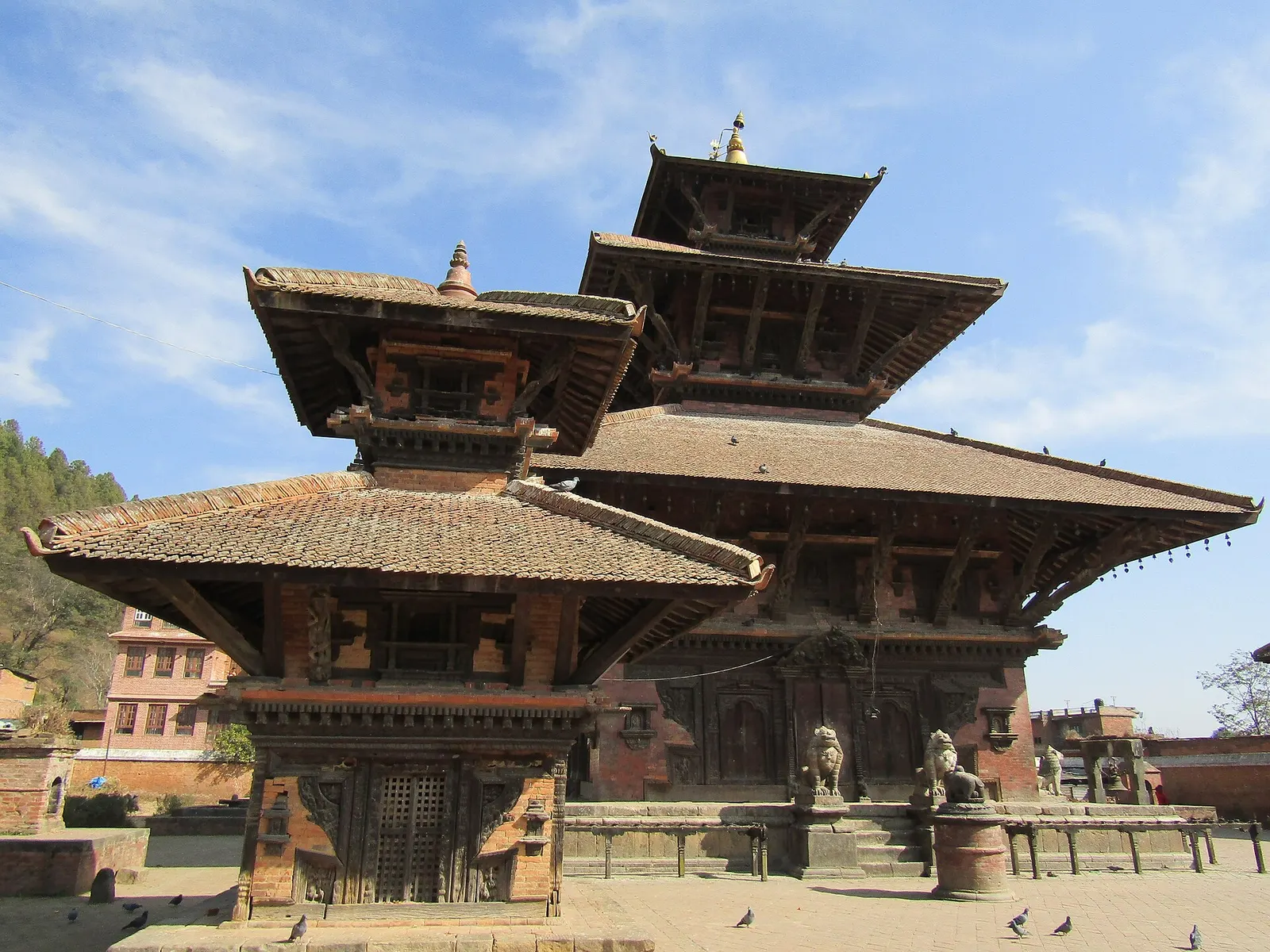
The tiered Indreshwar Mahadev temple in Panauti, Kavrepalanchok.
Photo: Prakat Shrestha (CC BY-SA 4.0)
Altitude
1,442 m
Best months
Feb-Apr, Oct-Dec
Type
Town or village
District
Kavrepalanchok, Bagmati
Permit
Entry fee

Why go

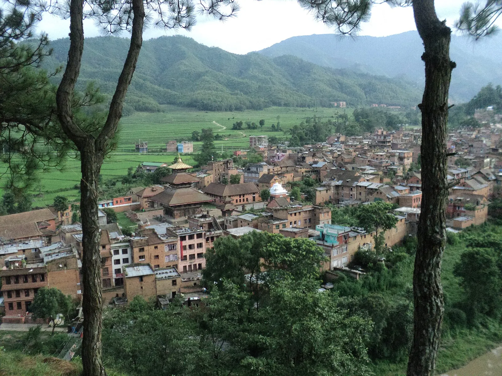
Panauti is a compact old Newar town in Kavrepalanchok district, about 32 km south-east of Kathmandu and a short drive south of Banepa and Dhulikhel. It stands where the Roshi and Punyamati rivers meet, and its old core of brick houses, carved windows, courtyards and temples has survived with relatively little modern change, partly because the main highway to Tibet bypassed the town in the 1960s.

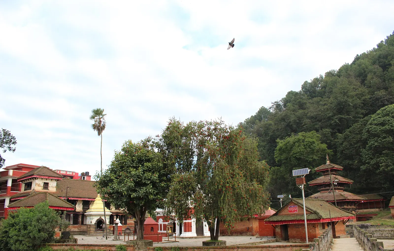
The centrepiece is the Indreshwar Mahadev temple, a tall three-tiered pagoda to Shiva in a large courtyard, with finely carved roof struts and pots and pans hung by young couples as offerings for a happy married life. Down by the rivers, Triveni Ghat has cremation platforms, shrines and the Brahmayani temple across the water. A walk through the lanes between them, past water spouts and small squares, takes a couple of hours at a slow pace.

Panauti is known for its community homestay programme, which lets visitors stay with local families, and it makes a peaceful overnight stop. It is often combined with Dhulikhel and with a walk from Namo Buddha, the Buddhist pilgrimage site on a hill to the east, a hike of about 3-4 hours that ends in Panauti.

History and culture

Panauti's recorded history goes back many centuries, and it was a trading town on the old salt route between Tibet and India. The Indreshwar Mahadev temple was originally built over a lingam in 1294 and is often described as one of the oldest surviving temples in Nepal; it survived the 2015 earthquake in good condition. The medieval architectural complex of the town was placed on Nepal's tentative list for UNESCO World Heritage in 1996, but it is not a World Heritage site.

The town's sacred geography centres on the confluence of the Roshi and Punyamati with a third, invisible river, the Rudravati, which tradition says rises from the Indreshwar temple. Every twelve years the Makar Mela draws large crowds of pilgrims to bathe at the confluence in January. The annual Panauti Jatra in early summer features a chariot procession through the town. The population of the wider municipality is mixed, with Brahmin, Chhetri, Tamang and Newar communities; the old town itself is mainly Newar.

Things to do in Panauti

  • Visit Indreshwar Mahadev

    See the carved struts of the three-tiered temple and the offerings hung around it.

  • Walk to Triveni Ghat

    Follow the lanes down to the river confluence and the Brahmayani temple on the far bank.

  • Stay in a homestay

    Book a night with a local family through the community homestay programme for home-cooked Newar meals.

  • Hike from Namo Buddha

    Walk downhill from Namo Buddha to Panauti in about 3-4 hours through villages and farmland.

Weather and the best time to visit Panauti

Weather in Panauti

Forecast for 1,442 m. Conditions change fast in the mountains.

Weather data: MET Norway, licensed CC BY 4.0. A forecast, not a guarantee.

Best time to visit

Feb-Apr, Oct-Dec

  1. Jan
  2. Good month: Feb
  3. Good month: Mar
  4. Good month: Apr
  5. May
  6. Jun
  7. Jul
  8. Aug
  9. Sep
  10. Good month: Oct
  11. Good month: Nov
  12. Good month: Dec
Autumn (Sep-Nov)
October and November are clear and mild, with Dashain and Tihar celebrations.
Winter (Dec-Feb)
December to February is dry and cool; the Makar Mela, held every twelve years, falls in mid-January.
Spring (Mar-May)
March to May is warm; the Panauti Jatra chariot festival usually falls around May or June.
Monsoon (Jun-Aug)
June to August brings rain and fuller rivers; the town is quiet and green.

Where to stay

HomestaysGuesthousesHotels

Community homestays in the old town plus a few guesthouses; Dhulikhel, a short drive away, has more hotels.

No partner stays are listed here yet. List a property.

Getting there

Panauti is about 32 km south-east of Kathmandu, reached via the Araniko Highway to Banepa and then a branch road south.

Nearest hub: Kathmandu

  • roadTaxi or private car from Kathmandu, about 32-35 km, 1.5-2 hours depending on traffic.
  • roadBus from Kathmandu to Banepa, then a local bus or taxi to Panauti, about 2-2.5 hours in total.
  • walkFrom Namo Buddha, about 3-4 hours downhill on foot; from Dhulikhel, a full day via Namo Buddha.

Getting to Panauti, by mode

Nearest hub: Kathmandu. Times are typical ranges, not schedules, and vary with roadworks, weather and the season.

  • By busfrom Kathmanduabout 2-2.5 hLocal buses

    Take a bus to Banepa on the Araniko Highway, then a local bus or taxi south to Panauti.

    When to set off: leave Kathmandu before 08:00 for the Banepa change

    Panauti, Wikipedia

  • By car or jeepfrom Kathmanduabout 1.5-2 h

    About 32 to 35 km south-east via the Araniko Highway to Banepa and then the branch road.

    Road: Sealed throughout; narrow and winding on the branch road south of Banepa.

    Panauti, Wikipedia

  • By motorbikefrom Kathmanduabout 1.25-2 hEasy riding

    Easy sealed run via Banepa; rural roads on towards Balthali are rougher.

    Road: Sealed highway and branch road; rough rural roads beyond the town.

    Nepal, Wikivoyage

  • On footfrom Namo Buddhaabout 2.5-4 h2.5-4 h down from Namo Buddha to Panauti

    Downhill off the ridge from the stupa to the river confluence, part of the Cultural Trekking Trail.

    Dhulikhel, Wikivoyage

Where people go next

  • Namo Buddhaon foot, about 2.5-3.5 hUp to the stupa on the ridge.
  • Balthalion foot, about 1.5-2.5 hUp the Roshi valley to the farm ridge.
  • Dhulikhelby car or jeep, about 0.5-1 hNorth via Banepa to the highway town.
  • Bhaktapurby car or jeep, about 0.75-1.25 hNorth-west back into the valley.
Mount Everest 8,848.86Kangchenjunga 8,586Dhaulagiri I 8,167Manaslu 8,163Annapurna I 8,091PanautiKathmandu
Boundary: Government of Nepal, Survey Department (2020). Peak data: Wikidata.

Permits and fees

Entry fee

No permit is needed. A small tourist fee has been collected from foreign visitors in the old town in some years to support conservation.

  • Old town visitor fee: May be collected by the municipality; check on arrival.

Verify before travel: permit rules and fees change. Checked 2026-10-06 against Panauti, Wikipedia.

Risks and conditions

Seasonal risks around Panauti

What this place is typically exposed to, and when. These are seasonal patterns, not a report on conditions now.

  • Floodingmoderate in a typical yearJun-Sep

    The old town stands at the meeting of the Roshi and Punyamata, which run hard from June to September; the record 2024 monsoon flooded rivers across Bagmati province.

    2024 Nepal floods, Wikipedia

  • Othermoderate in a typical yearDec-Apr

    Dry-season dust and haze are a normal feature of the Kathmandu valley, where measured PM2.5 has run several times the WHO guideline level. Visitors prone to asthma usually do better on early mornings and after rain.

    Kathmandu, Wikipedia

  • Landslideslow in a typical yearJun-Sep

    The branch road in from Banepa and the rural roads on towards Balthali and Namo Buddha see slips and washouts in the monsoon months.

    Araniko Highway, Wikipedia

  • Road blockageslow in a typical yearJun-Sep

    Monsoon rain typically slows the Araniko Highway approach through Bhaktapur and Banepa and the narrow branch road south.

    Araniko Highway, Wikipedia

  • Coldlow in a typical yearDec-Feb

    December to February mornings are cold and foggy by the rivers, close to freezing at dawn, and rooms are often unheated.

    Panauti, Wikipedia

Check current conditions before you travel

Roads, trails, passes and flights change with the weather and with roadworks, and nothing on this page describes conditions today. Before you set off, check the Department of Hydrology and Meteorology for weather and flood warnings, the Nepal Disaster Risk Reduction Portal for incidents, and the local authority, police or your licensed operator for road, trail and flight status.

Practical tips

  • Remove shoes before entering temple courtyards, and do not photograph cremations at the ghats.
  • Some temple interiors are closed to non-Hindus.
  • There are ATMs on the main road outside the old town; carry cash for homestays.
  • Mobile signal is generally good.
  • Book homestays in advance during festivals.

Treks through Panauti

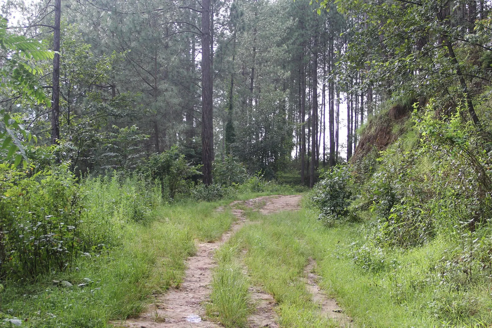
A grassy dirt track leads through tall pine forest on the way to Balthali village.

A short, low walk south-east of Kathmandu from Dhulikhel to the Buddhist pilgrimage site of Namo Buddha, on to the farming village of Balthali, and down to the old Newar town of Panauti. No permit needed.

Days
3 days
Maximum altitude
1,750 m
Difficulty
Easy

Questions about Panauti

How do I get to Panauti from Kathmandu?

By taxi, about 1.5-2 hours, or by bus to Banepa and then a local bus or taxi to Panauti.

Is Panauti a UNESCO World Heritage Site?

No. Its medieval town was placed on Nepal's tentative list in 1996, but it has not been inscribed.

Can I walk from Namo Buddha to Panauti?

Yes, the downhill walk takes about 3-4 hours through villages and farmland.

What is Panauti known for?

Its medieval Newar old town, the Indreshwar Mahadev temple, the river confluence at Triveni Ghat and community homestays.

Nearby

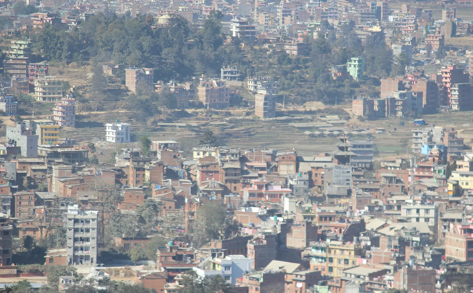
Houses of Dhulikhel spread across a ridge, seen from the hilltop Kali temple, with a temple roof in view.

Town or village · 1,550 m

Dhulikhel

A Newar hill town on the eastern rim of the Kathmandu Valley, with a wide Himalayan skyline and walking trails to Namo Buddha and Panauti.

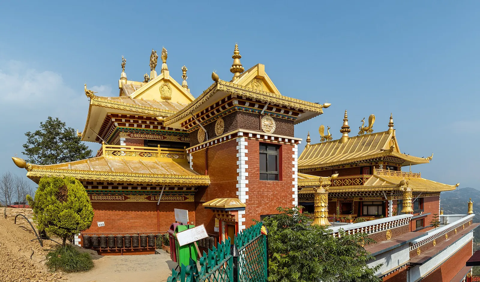
Panorama of the Thrangu Tashi Yangtse Monastery buildings on the Namo Buddha hilltop.

Temple, monastery or heritage site · 1,750 m

Namo Buddha

A hilltop stupa and Tibetan Buddhist monastery south-east of Dhulikhel, tied to the story of a prince who gave his body to a starving tigress.

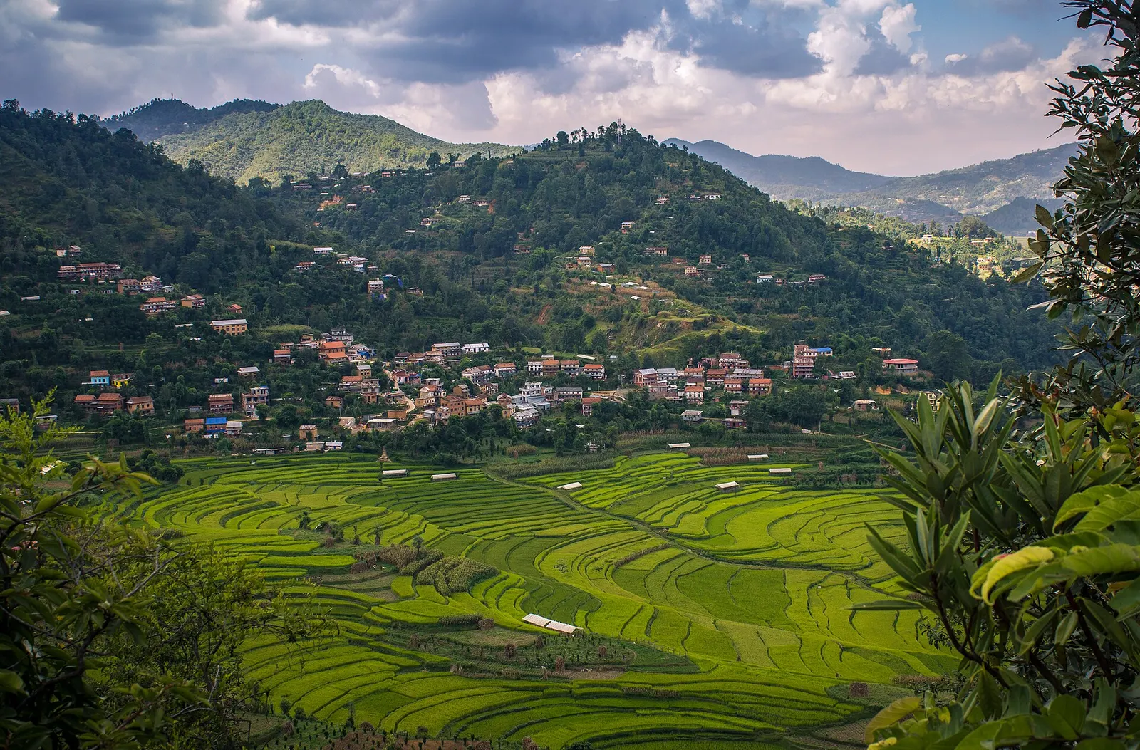
Houses and terraced fields of Balthali village on a hillside.

Town or village · 1,730 m

Balthali

A farming village on a ridge above Panauti and Khopasi, reached on foot or by rough road, with terraced fields and homestays.

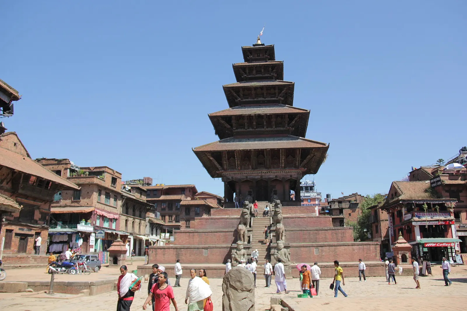
The five-tiered Nyatapola temple rising above Taumadhi Square in Bhaktapur.

Town or village · 1,401 m

Bhaktapur

A medieval Newar city in the east of the Kathmandu Valley, known for its temple squares, pottery, woodcarving and festivals.

Editorial draft: facts are being checked against the sources below. Last checked 2026-10-06. Sources: Panauti, Wikipedia, Tentative Lists (Nepal), UNESCO World Heritage Centre