
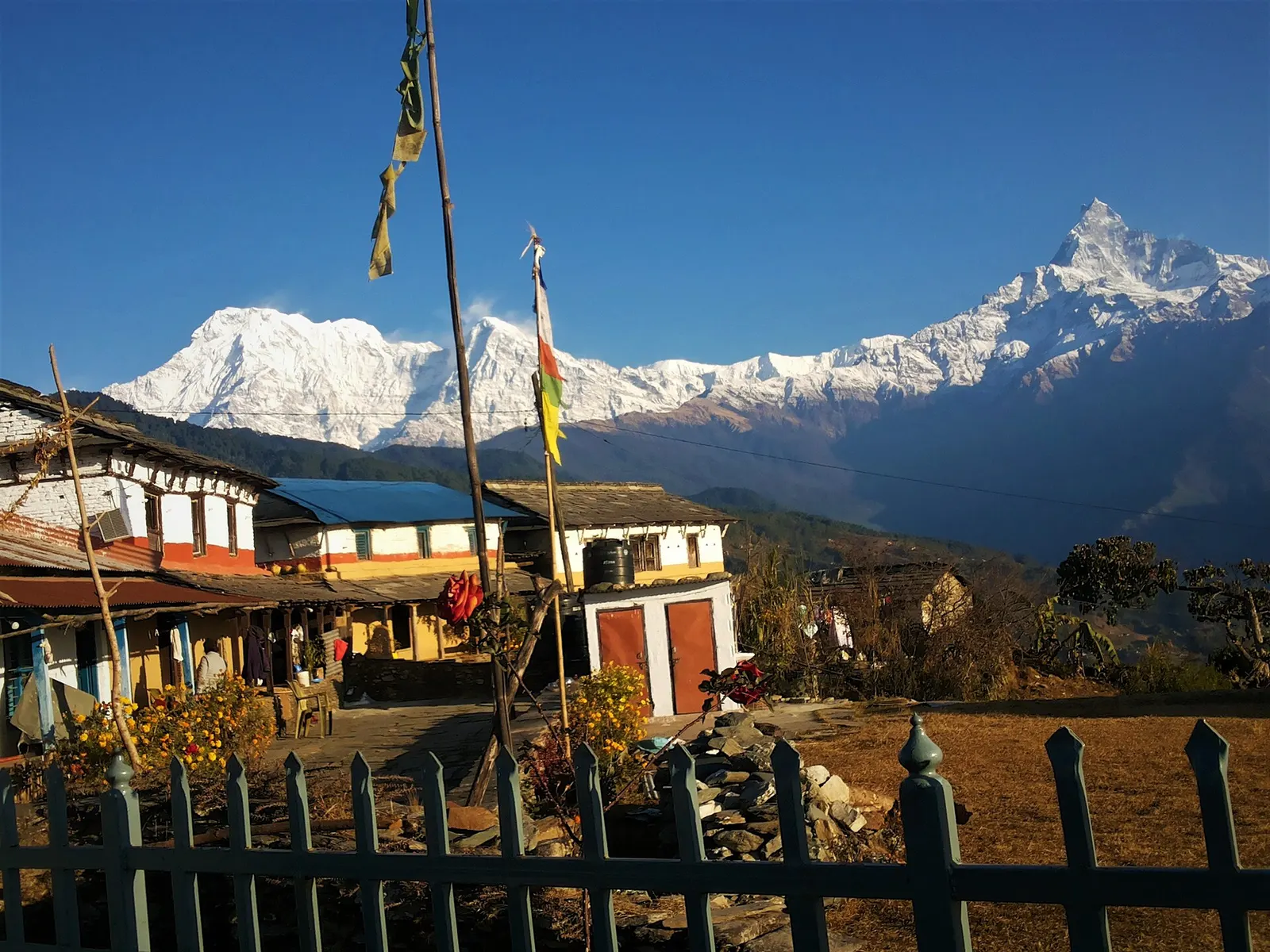
A one- or two-day walk from Kande near Pokhara to Australian Camp, a grassy viewpoint at about 2,060 m facing the Annapurnas and Machhapuchhre, returning via Dhampus and Phedi.
- Days
- 2 days
- Maximum altitude
- 2,060 m
- Difficulty
- Easy
Pokhara & Annapurna, Annapurna Region
A short overnight walk from Phedi near Pokhara to the Gurung village of Dhampus (about 1,650 m), with homestays and sunrise views of Machhapuchhre and the Annapurnas.
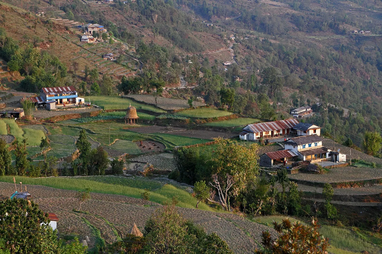
Dhampus is a Gurung village on a ridge above Phedi, 20-40 minutes by road from Pokhara. A stone staircase climbs about 500 m through terraced fields and forest in 1.5-2 hours, and the village looks north to Machhapuchhre, Annapurna South and Annapurna II.
The point of this short trek is the village itself: an evening and a night with a host family, a walk through the lanes and fields, and the sunrise from the viewpoint above the houses. Fitter walkers can add a climb to Australian Camp on the second morning and come down to Kande instead of Phedi.
Why it is rated easy
Sleeping altitude for each night. The dashed lines at 3,000 m and 4,000 m mark heights where altitude illness becomes more common. General information only, not medical advice.
Hover, tap or use the arrow keys to see each day. Shaded columns are acclimatisation days.
| Day | Overnight | Sleeping altitude | High point |
|---|---|---|---|
| 1 | Dhampus | 1,650 m | - |
| 2 | Pokhara | 822 m | - |
About 20-40 minutes by road to Phedi, then a stone-step climb through fields and forest to Dhampus. Spend the afternoon in the village and the evening with a host family.
Homestay or lodge in DhampusAbout Dhampus
Walk to the viewpoint above the village for sunrise, then descend to Phedi for transport to Pokhara. For a longer day, climb about an hour to Australian Camp (about 2,060 m) and walk down to Kande instead.
Hotel in Pokhara
Stages, times and altitudes vary by operator, weather and pace. Partner agencies confirm the exact plan.
Trail geometry from OpenStreetMap.
ACAP entry permit (Annapurna Conservation Area)Conservation area
Dhampus lies at the southern edge of the conservation area. Sources disagree on whether a permit is checked for a short village stay; it is needed for treks beyond Dhampus. Ask the NTNC/ACAP office in Pokhara.
Verify before travel: permit rules and fees change. Checked 2026-10-06 against National Trust for Nature Conservation (Annapurna Conservation Area Project, e-permit links). Guide rule: Nepal bans solo trekking for tourists, guides mandatory from April 1 (The National, March 2023).
Nepal trekking permits explainedBest months: Oct-Apr
Forecasts for start (Dhampus, 1,650 m), end (Pokhara, 822 m). Mountain weather changes fast; check again on the day.
Forecast for 1,650 m. Conditions change fast in the mountains.
Weather data: MET Norway, licensed CC BY 4.0. A forecast, not a guarantee.
Forecast for 822 m. Conditions change fast in the mountains.
Weather data: MET Norway, licensed CC BY 4.0. A forecast, not a guarantee.
About an hour above Dhampus through forest; a meadow viewpoint at about 2,060 m.
Continue via Pothana and Tolka to Landruk for a longer walk towards the Annapurna Base Camp route.
One night from Pokhara is usual; it can be a day hike or stretched to three days with Australian Camp.
Take a bus or taxi to Phedi (20-40 minutes), then walk up 1.5-2 hours, or take a jeep to the village.
Yes. Homestays are run by village families, and there are also lodges and guesthouses.
Sources disagree for a short village stay; an ACAP permit is needed for treks beyond Dhampus. Check in Pokhara.
A one- or two-day walk from Kande near Pokhara to Australian Camp, a grassy viewpoint at about 2,060 m facing the Annapurnas and Machhapuchhre, returning via Dhampus and Phedi.
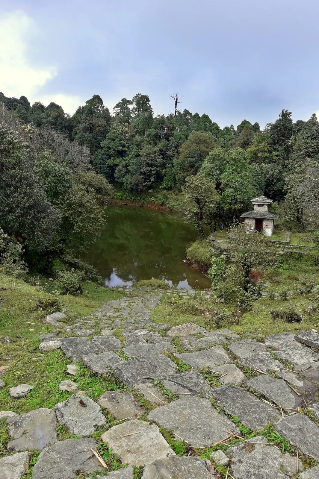
A two- to three-day walk from Pokhara to Panchase (about 2,517 m), a forested hill with a temple and pond west of Phewa Tal, with views of Dhaulagiri, the Annapurnas and Machhapuchhre.
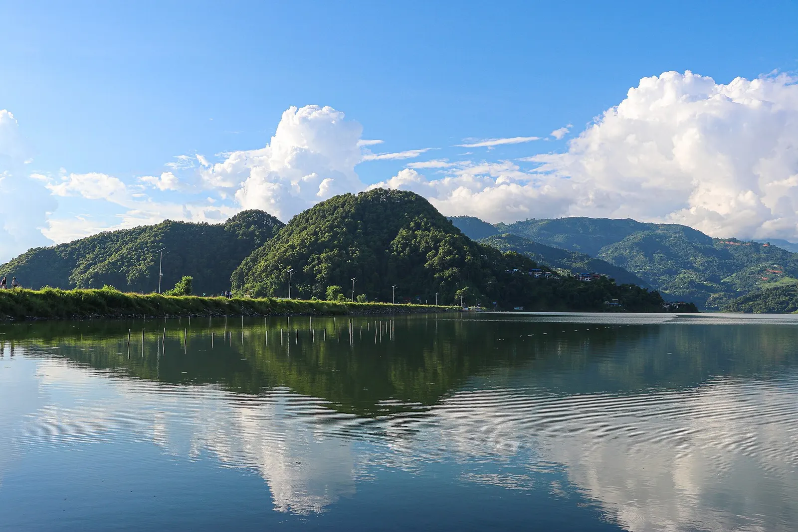
A low, short village walk in the hills east of Pokhara, via Kalikasthan, Syaklung and Chisapani to Begnas Lake, named after a 1980 trek by the then Prince Charles.
Dhampus Village · 2 days