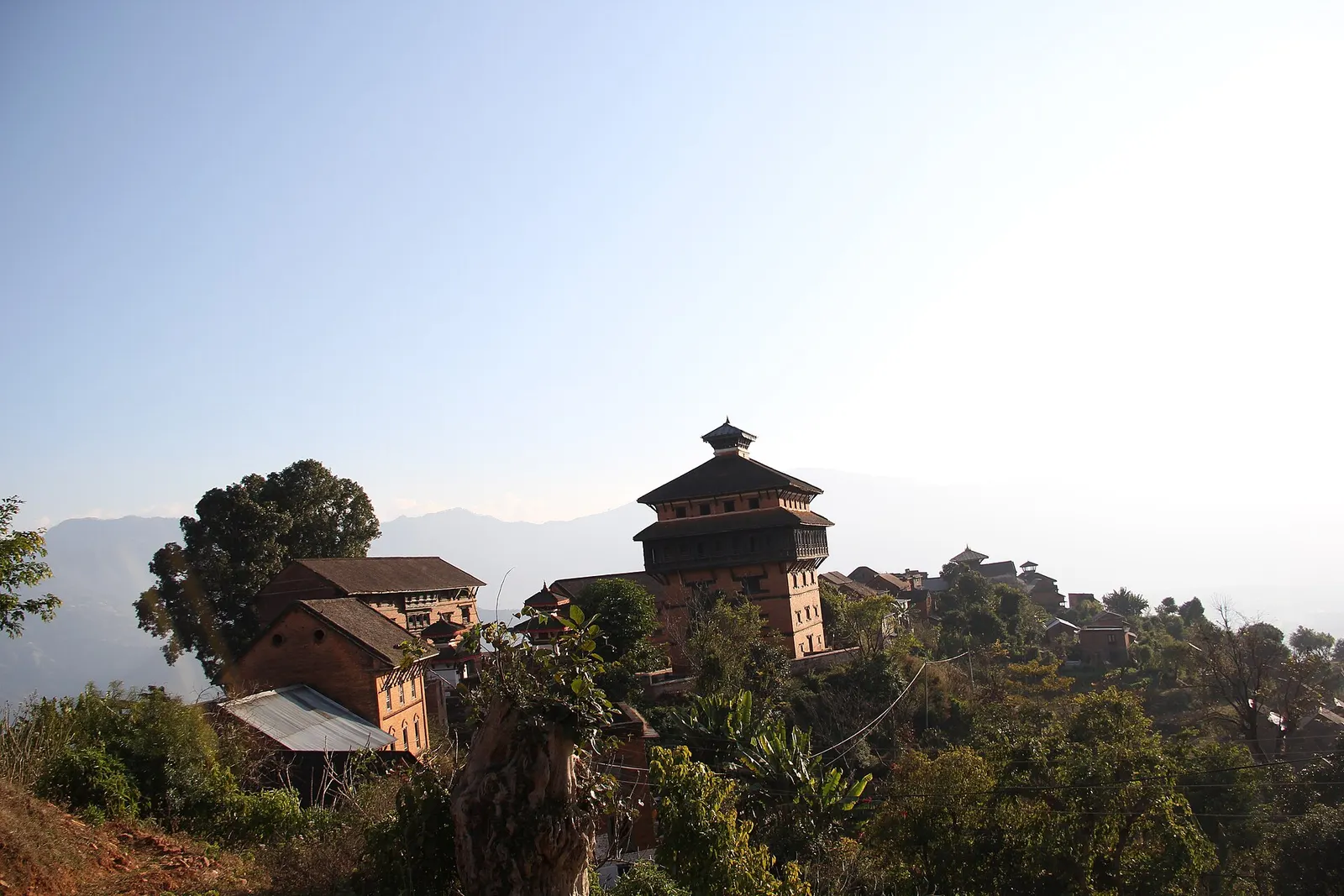
Temple, monastery or heritage site · 963 m
Nuwakot
A hilltop fort town above the Trishuli valley, where Prithvi Narayan Shah built a seven-storey palace during the unification of Nepal.
Kathmandu Valleyदेवीघाट
A riverside pilgrimage site at the confluence of the Tadi and Trishuli rivers, a short way from Bidur and below historic Nuwakot.
This is Devighat at the Tadi and Trishuli confluence near Bidur in Nuwakot, not Devghat at the Kali Gandaki and Trishuli confluence near Chitwan.
Higher seasonal exposure: flooding (Jun-Sep), landslides (Jun-Sep).
Devighat is a sacred riverside site at the meeting of the Tadi and Trishuli rivers, close to Bidur, the headquarters town of Nuwakot district. Confluences are considered holy in Hindu practice, and the ghats here are used for ritual bathing, worship and cremation by families from across the district.
The setting is a broad, warm valley floor with sandbanks, temples and shrines near the water, and the hill of Nuwakot with its old palace complex rising above. Visitors usually come as part of a trip to Nuwakot Durbar, stopping at the confluence to see the ghats and the rivers meeting, or on the way along the road towards Rasuwa and the Langtang region.
The name is also attached to a hydropower scheme on the Trishuli nearby, and the area around the confluence has grown with roads and settlement. Even so, early mornings at the ghats, when people come to bathe and make offerings, show the site's continuing religious role.
The Trishuli valley around Bidur and Nuwakot was strategically important in the eighteenth century, when Prithvi Narayan Shah of Gorkha captured Nuwakot as a step towards conquering the Kathmandu Valley. Nuwakot became a royal seat, and the valley below it, including the confluence at Devighat, was part of this core landscape of the early Shah state.
As at other river confluences in Nepal, Devighat draws bathers on auspicious days in the Hindu calendar, and the ghats are an important place for funeral rites for communities in the district. The site's shrines are dedicated to goddesses and other Hindu deities, reflecting the 'Devi' in its name.
Visit the ghats
Walk along the ghats and shrines at the confluence, respecting any rituals in progress.
Combine with Nuwakot Durbar
Climb or drive up to the palace complex at Nuwakot for history and views over the valley.
Stop on the Langtang road
Break the journey between Kathmandu and Rasuwa at Bidur and the confluence.
Conditions change fast in the mountains.
Weather data: MET Norway, licensed CC BY 4.0. A forecast, not a guarantee.
Oct-Mar
Hotels and guesthouses in Bidur; small heritage-style lodgings and homestays around Nuwakot Durbar on the hill.
No partner stays are listed here yet. List a property.
Devighat is near Bidur, reached by road from Kathmandu via Kakani and Ranipauwa.
Nearest hub: Kathmandu
None needed
No permit or ticket is needed to visit the confluence.
Verify before travel: permit rules and fees change. Checked 2026-10-08 against Nuwakot District, Wikipedia.
What this place is typically exposed to, and when. These are seasonal patterns, not a report on conditions now.
Floodinghigh in a typical yearJun-Sep
The Trishuli and Tadi run very high in the monsoon; ghats and sandbanks can flood and currents are dangerous.
Landslideshigh in a typical yearJun-Sep
The roads through the Trishuli corridor are prone to monsoon landslides and closures.
Heatlow in a typical yearApr-Jun
The valley floor is hot before the monsoon; visit early or late in the day.
Check current conditions before you travel
Roads, trails, passes and flights change with the weather and with roadworks, and nothing on this page describes conditions today. Before you set off, check the Department of Hydrology and Meteorology for weather and flood warnings, the Nepal Disaster Risk Reduction Portal for incidents, and the local authority, police or your licensed operator for road, trail and flight status.
No. Devighat is at the Tadi-Trishuli confluence in Nuwakot; Devghat is at the Kali Gandaki-Trishuli confluence near Chitwan.
It lies in the valley below the Nuwakot hill, a short drive from the palace complex via Bidur.
No ticket is needed to visit the confluence and its ghats.
October to March, outside the monsoon when the rivers are high and roads unreliable.
Temple, monastery or heritage site · 963 m
A hilltop fort town above the Trishuli valley, where Prithvi Narayan Shah built a seven-storey palace during the unification of Nepal.
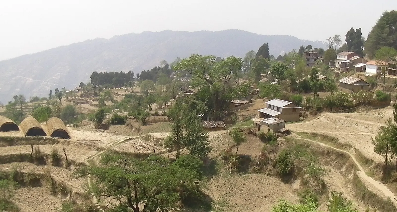
Viewpoint · 2,030 m
A quiet hill station just outside the Kathmandu Valley in Nuwakot, with Himalayan views, strawberry farms and memorial parks.
Town or village · 2,030 m
The district headquarters of Rasuwa and the road-side start of the Gosaikunda trail.
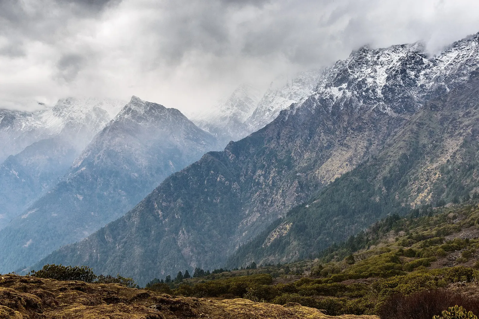
Valley or region
The trekking region closest to Kathmandu: glacier valleys, holy lakes and Hyolmo villages across Rasuwa, Nuwakot and Sindhupalchok.