

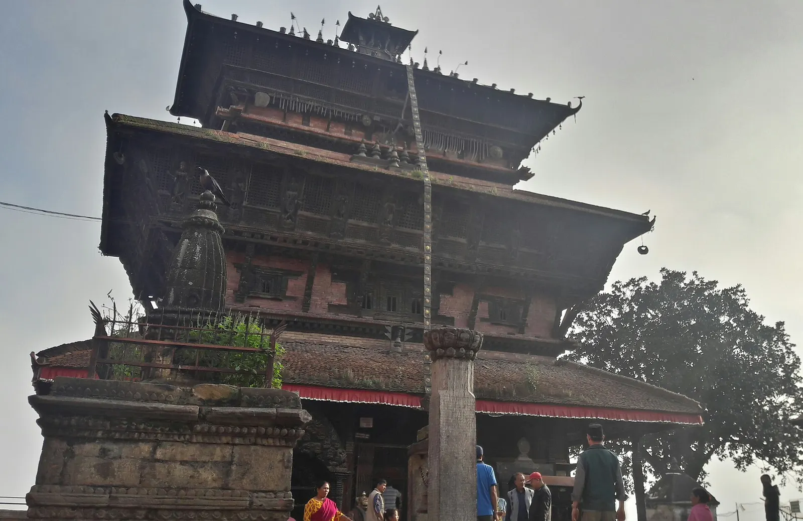
Town or village · 1,400 m
Kirtipur
An old Newar hill town on Kathmandu's south-western edge, with temples, valley views and a dramatic history of resistance.
Kathmanduककनी
A quiet hill station just outside the Kathmandu Valley in Nuwakot, with Himalayan views, strawberry farms and memorial parks.
This is the hill station of Kakani in Nuwakot district, just over the north-western rim of the Kathmandu Valley.
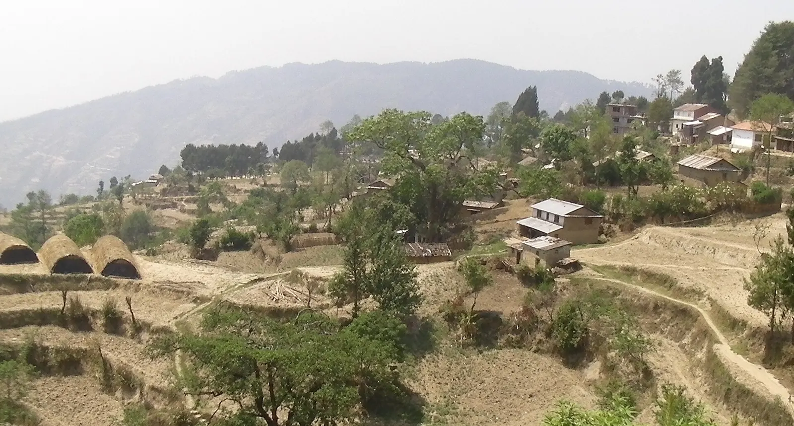
Kakani is a ridge-top settlement at about 2,000 m in Nuwakot district, just beyond the north-western rim of the Kathmandu Valley and about 20-25 km by road from the city along the highway towards Trishuli and the Langtang region. Although outside Kathmandu district, it is visited almost entirely as a short escape from the capital, and it is one of the closest places to Kathmandu above 2,000 m.
On clear mornings, especially in autumn and winter, the view from Kakani's ridge takes in a long section of the Himalaya to the north, with Ganesh Himal and the Langtang range most prominent and Annapurna and Manaslu further west on very clear days. The ridge has hotels and resorts, a long-established British Gurkha welfare bungalow, an international mountaineers' memorial park, and the memorial park for the victims of a 1992 airliner crash in the hills nearby.
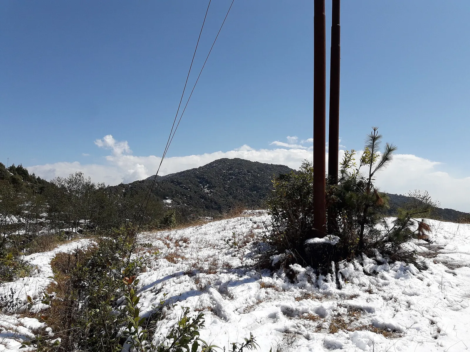
Strawberry farming is the local speciality, and in late winter and spring farms around the village sell fresh fruit to visitors. Kakani is also a starting point for walks along the forested hills on the western edge of Shivapuri Nagarjun National Park, and in cold spells it can receive snow, which brings crowds from the city.
The hill station developed in the 20th century as a cool retreat above the valley, and the British Gurkha welfare bungalow is one of its oldest buildings. The area is now part of Kakani Rural Municipality, formed in 2017 from former village development committees, whose residents are largely Tamang, Brahmin and Chhetri farmers.
The Thai Airways memorial park commemorates the 113 people killed when a flight crashed into the hills near Kakani in poor weather on approach to Kathmandu in 1992; on a clear day the crash site can be seen from the park. The Pasang Lhamu Highway that runs through Kakani, named after the first Nepali woman to climb Everest, continues north to the Tibetan border at Rasuwagadhi.
Watch sunrise over the Himalaya
Stay overnight to see dawn light on Ganesh Himal and Langtang from the ridge.
Pick strawberries
Visit a farm in the season, roughly late winter to spring, to buy or pick fresh fruit.
Visit the memorial parks
Walk to the Thai Airways memorial and the mountaineers' memorial park on the ridge.
Walk the ridge forests
Follow trails along the forested ridges towards Shivapuri Nagarjun National Park.
Forecast for 2,030 m. Conditions change fast in the mountains.
Weather data: MET Norway, licensed CC BY 4.0. A forecast, not a guarantee.
Oct-Mar
Simple guesthouses, mid-range hotels, resorts and tented camps along the ridge.
No partner stays are listed here yet. List a property.
Kakani is about 20-25 km north-west of Kathmandu on the Pasang Lhamu Highway towards Trishuli.
Nearest hub: Kathmandu
Nearest hub: Kathmandu. Times are typical ranges, not schedules, and vary with roadworks, weather and the season.
By busfrom Kathmanduabout 1-1.5 hLocal buses
Buses towards Trishuli or Dhunche drop passengers at the Kakani turn-off on the highway; it is a walk of about 30 minutes up to the ridge from there.
When to set off: take an early bus and be on the ridge before mid-morning haze
By car or jeepfrom Kathmanduabout 1-1.6 h
About 20 to 25 km north-west via Balaju on the Pasang Lhamu Highway, then the short ridge road.
Road: Sealed highway with rough and under-repair sections on the climb, then a narrow surfaced ridge road.
By motorbikefrom Kathmanduabout 0.9-1.4 hModerate riding
A popular short ride out of the valley; the highway climb is busy with freight and broken in places.
Road: Sealed but rough and patchy on the climb, slippery in the monsoon.
On footfrom Kakani turn-off on the Pasang Lhamu Highwayabout 0.4-0.7 habout 30 minutes from the highway turn-off to the ridge
A short climb from the highway junction up to the ridge and the viewpoint.
None needed
No permit is needed to visit Kakani. If you walk into Shivapuri Nagarjun National Park, the park entry fee applies.
Verify before travel: permit rules and fees change. Checked 2026-10-06 against Kakani, Wikivoyage.
What this place is typically exposed to, and when. These are seasonal patterns, not a report on conditions now.
Landslidesmoderate in a typical yearJun-Sep
The Pasang Lhamu Highway below the ridge is cut into steep hillside and monsoon rain typically triggers slips and long single-lane repairs between June and September.
Road blockagesmoderate in a typical yearJun-Sep
Slips and road works on the Trishuli road typically delay the climb to Kakani in the monsoon, so allow a wide margin in July and August.
Coldmoderate in a typical yearDec-Feb
At about 2,030 m the ridge drops near freezing on December to February nights and guesthouse rooms are rarely heated.
Othermoderate in a typical yearDec-Apr
Dry-season dust and haze are a normal feature of the Kathmandu valley, where measured PM2.5 has run several times the WHO guideline level. Visitors prone to asthma usually do better on early mornings and after rain.
Snowlow in a typical yearDec-Feb
Light snow falls on the ridge in some winters, which can make the last climb from the highway slippery.
Check current conditions before you travel
Roads, trails, passes and flights change with the weather and with roadworks, and nothing on this page describes conditions today. Before you set off, check the Department of Hydrology and Meteorology for weather and flood warnings, the Nepal Disaster Risk Reduction Portal for incidents, and the local authority, police or your licensed operator for road, trail and flight status.
About 20-25 km by road towards Trishuli, usually 1-1.5 hours depending on traffic and road works.
Yes, on clear mornings Ganesh Himal and the Langtang range are prominent, with more peaks visible on very clear days.
Roughly from late winter into spring; check locally as the season varies with the weather.
Town or village · 1,400 m
An old Newar hill town on Kathmandu's south-western edge, with temples, valley views and a dramatic history of resistance.
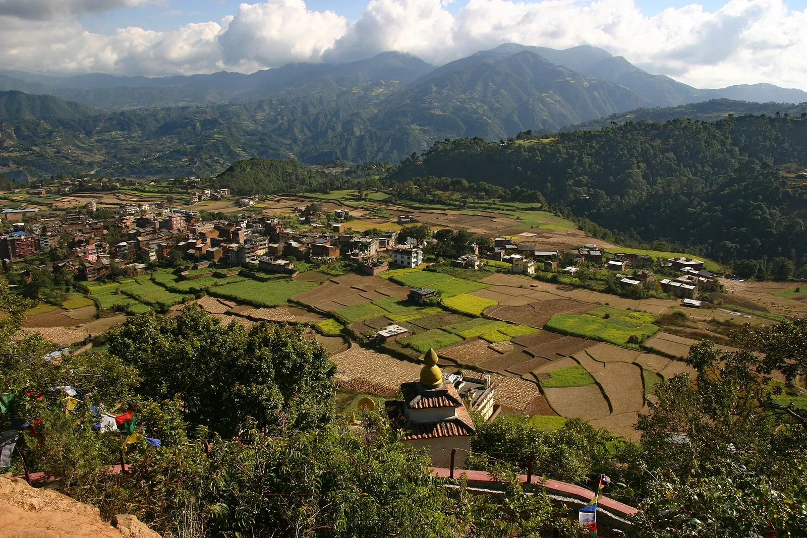
Town or village · 1,570 m
A small Newar town on the southern rim of the Kathmandu Valley, sacred to Vajrayana Buddhists for Guru Rinpoche's meditation caves.
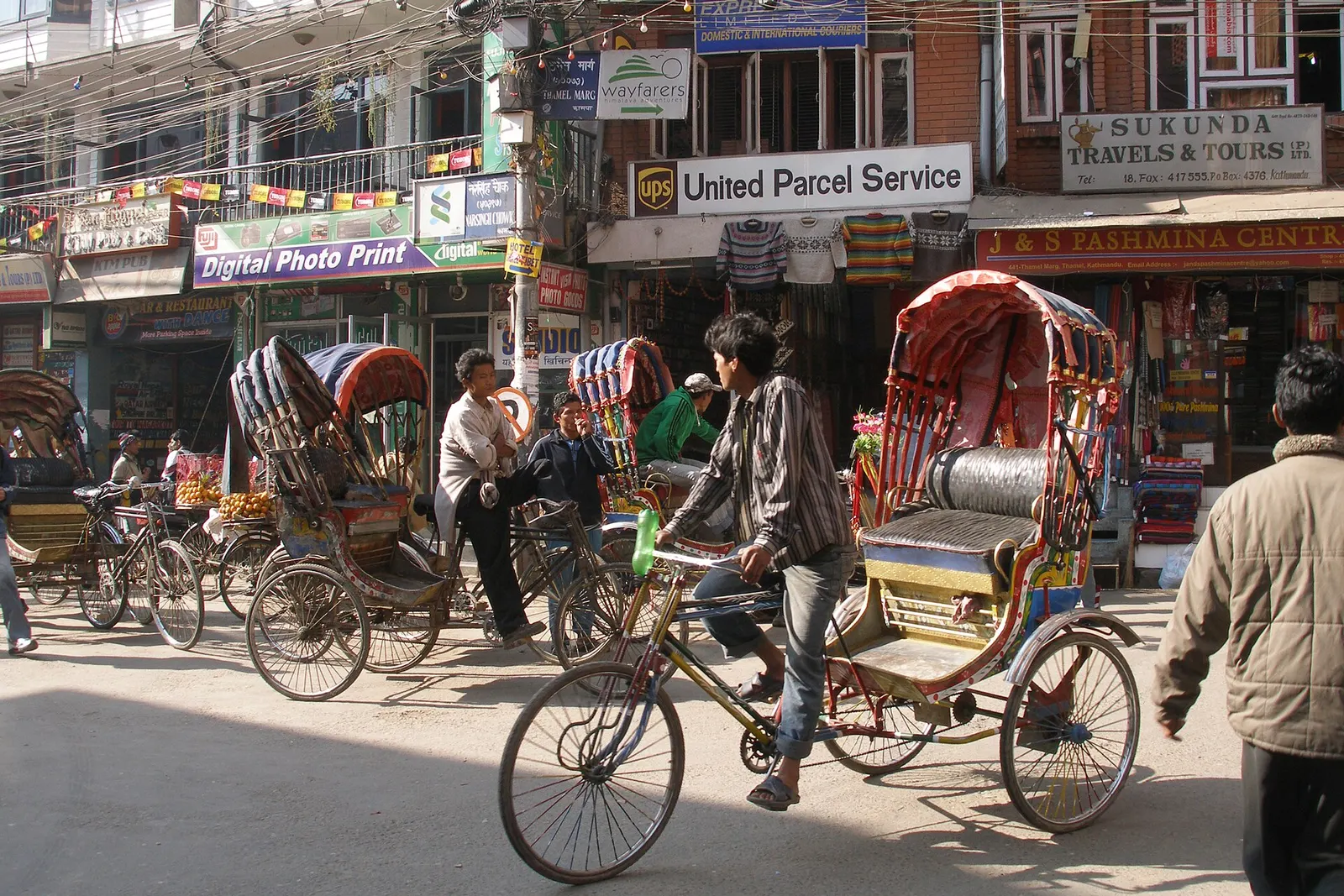
Town or village · 1,320 m
Kathmandu's traveller quarter of narrow lanes, guesthouses, trekking shops and cafes, a short walk north of the old city.
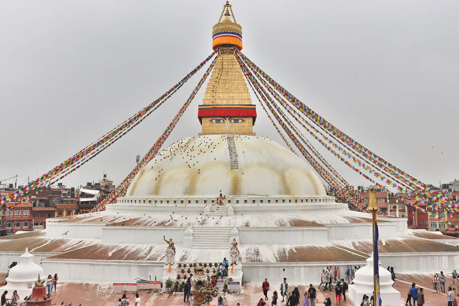
Temple, monastery or heritage site · 1,340 m
The great white stupa of north-east Kathmandu, centre of the valley's Tibetan Buddhist community and its many monasteries.
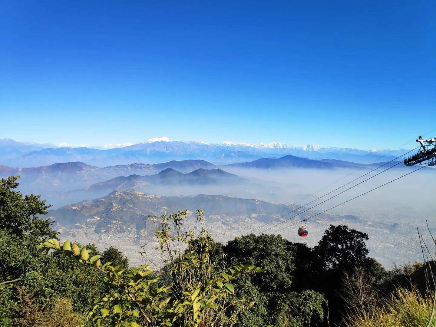
Viewpoint · 2,551 m
A hill on the Kathmandu Valley's south-western rim, reached by cable car, with a Shiva temple and wide Himalayan views.
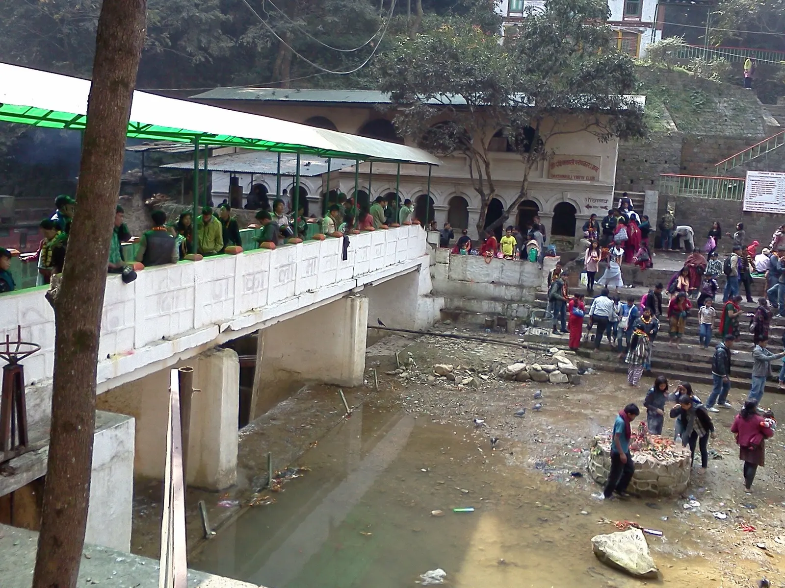
Temple, monastery or heritage site · 1,480 m
A Hindu temple to the goddess Kali in a forested gorge south of Pharping, known for its Tuesday and Saturday animal sacrifices.
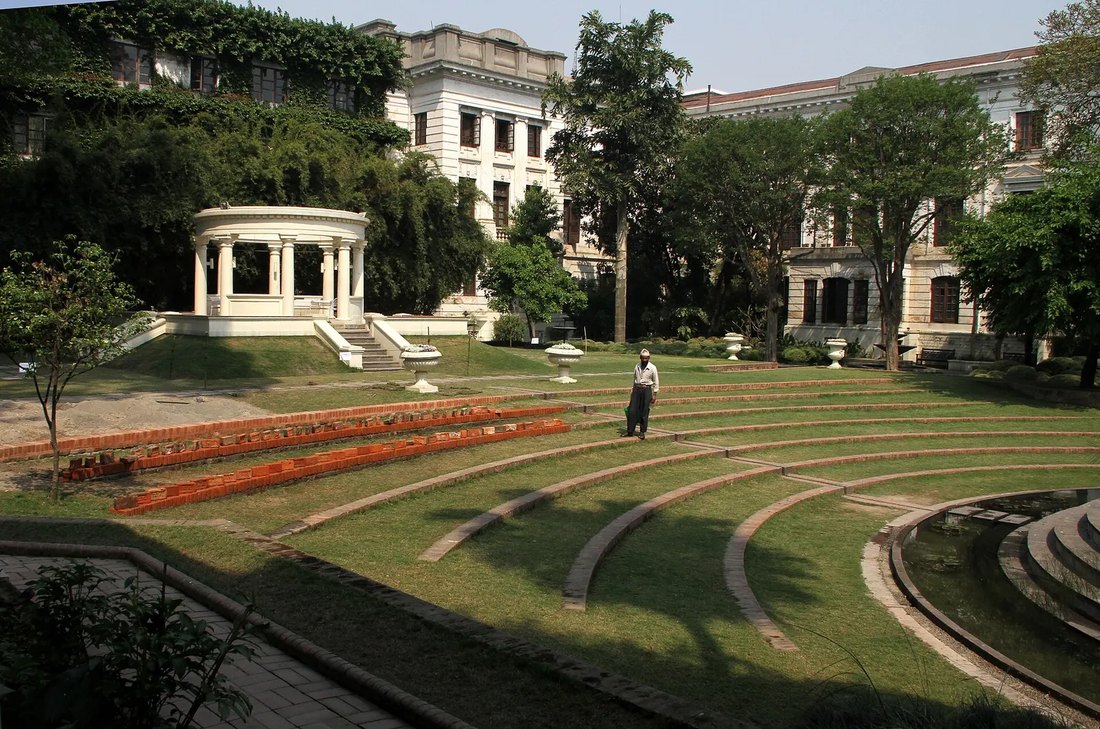
Temple, monastery or heritage site · 1,320 m
A restored 1920s Rana-era garden of pavilions, ponds and lawns at the edge of Thamel.
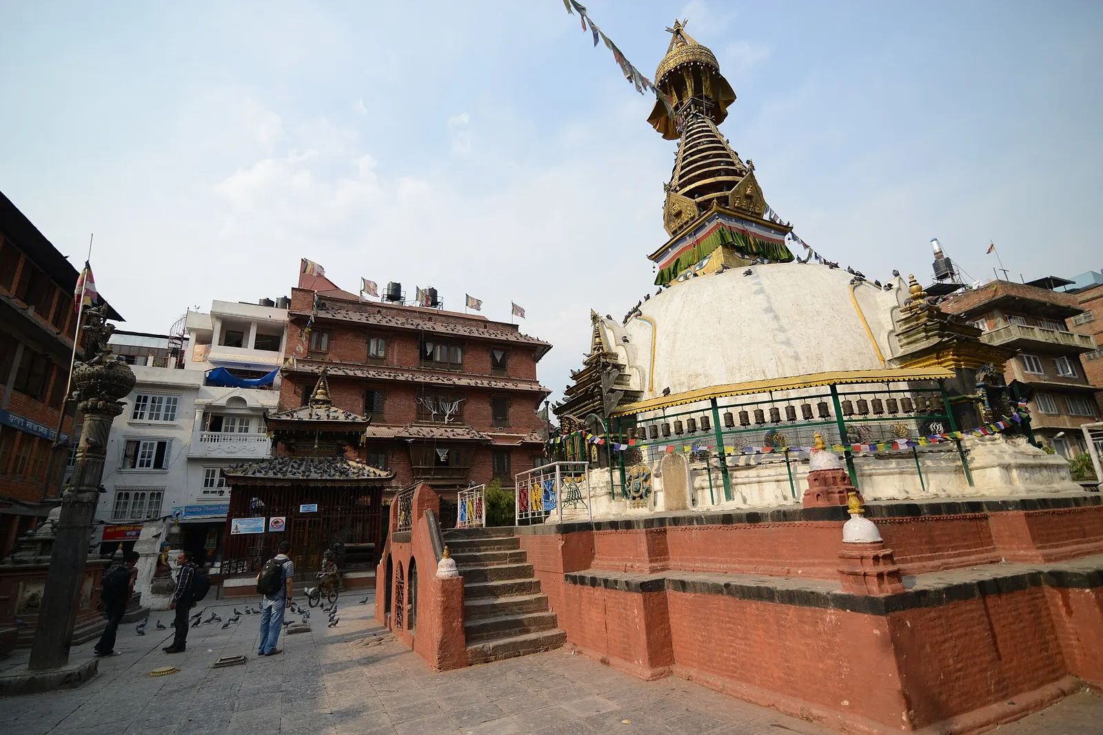
Temple, monastery or heritage site · 1,310 m
A centuries-old miniature of Swayambhunath in a quiet courtyard a few minutes' walk south of Thamel.
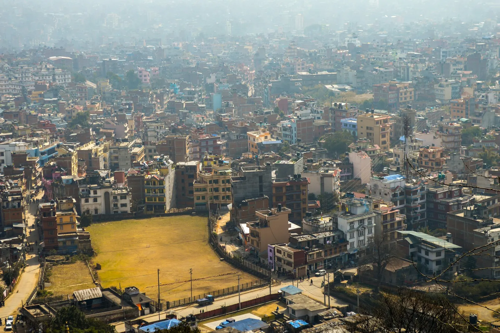
Town or village · 1,400 m
Nepal's capital, a sprawling valley city wrapped around a medieval Newar core, with major Hindu and Buddhist sites and the country's main airport.
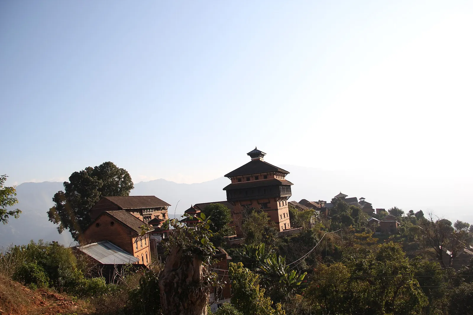
Temple, monastery or heritage site · 963 m
A hilltop fort town above the Trishuli valley, where Prithvi Narayan Shah built a seven-storey palace during the unification of Nepal.
Valley or region
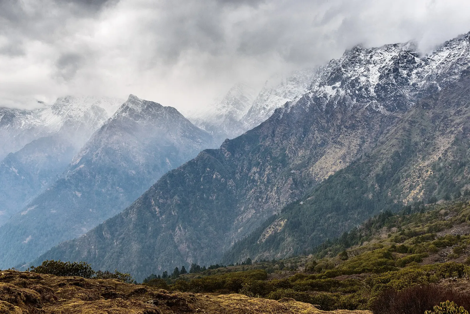
The trekking region closest to Kathmandu: glacier valleys, holy lakes and Hyolmo villages across Rasuwa, Nuwakot and Sindhupalchok.