Skip to content

Dolpoफोक्सुण्डो ताल

Phoksundo Lake

A deep turquoise alpine lake in Dolpo, dammed by an ancient landslide, with the Bon village of Ringmo on its shore.

Plan a trip here
Altitude
3,612 m*
Best months
May-Jun, Sep-Oct
Type
Lake
District
Dolpa, Karnali
Permit
Permit required

Higher seasonal exposure: other (Jun-Sep), snow (Nov-Mar), cold (Nov-Mar).

Why go

Phoksundo Lake lies at about 3,600 m in Shey Phoksundo National Park, in the Lower Dolpo part of Dolpa district. It is the best-known sight of the Dolpo region and the goal of the most accessible trek there. The lake covers about 494 hectares and is among the deepest in Nepal, measured at about 145 m in 2004 and about 136 m in a 2019 survey. Its colour, an intense turquoise to deep blue depending on light and depth, is what most visitors remember.

The lake formed when a huge landslide, estimated at 30,000-40,000 years old, blocked the valley. The village of Ringmo now sits on that natural dam at the southern end, and below it the outflow drops over a waterfall about 167 m high, one of the tallest in Nepal, seen on the approach up the Suli Gad valley. Steep cliffs and snow peaks rise around the other shores.

Most trekkers spend one or two nights at Ringmo, walking along the eastern shore, visiting the monastery and climbing for views over the water. Beyond the lake, a dramatic trail cut into the cliffs of the western shore leads north towards the Kang La and Upper Dolpo, but that route requires a restricted area permit. The lake was listed as a Ramsar wetland in 2007.

History and culture

Ringmo is a Bon village, and a Bon monastery stands near the eastern shore of the lake, where annual prayers and rituals are held; more than 20 stupas are found in the northern part of the lake area. Bon is the older Tibetan religious tradition, and its followers circle sacred sites anticlockwise, the opposite direction to Buddhists. Local people regard the lake as sacred, so swimming or washing in it is inappropriate. The scenery of Phoksundo appeared in the film Himalaya and in descriptions in Peter Matthiessen's The Snow Leopard.

Things to do in Phoksundo Lake

  • Walk to the monastery

    Follow the eastern shore from Ringmo, about 30-45 minutes, to the Bon monastery.

  • Viewpoint hikes

    Climb the slopes above Ringmo for views over the full length of the lake.

  • See the waterfall

    Stop at viewpoints on the trail below Ringmo for the long waterfall below the lake's outflow.

Weather and the best time to visit Phoksundo Lake

Weather in Phoksundo Lake

Forecast for 3,612 m. Conditions change fast in the mountains.

Weather data: MET Norway, licensed CC BY 4.0. A forecast, not a guarantee.

Best time to visit

May-Jun, Sep-Oct

  1. Jan
  2. Feb
  3. Mar
  4. Apr
  5. Good month: May
  6. Good month: Jun
  7. Jul
  8. Aug
  9. Good month: Sep
  10. Good month: Oct
  11. Nov
  12. Dec
Autumn (Sep-Nov)
September and October are clear and dry, the best time for the colour of the lake.
Winter (Dec-Feb)
November to March is very cold, with snow on the trails; many residents move to lower villages.
Spring (Mar-May)
April and May are milder, with snow lingering on higher ground.
Monsoon (Jun-Aug)
June to August brings some rain to the Suli Gad valley and frequent flight delays to Juphal, though the area is drier than central Nepal.

Where to stay

LodgesHomestaysCamping

Ringmo has a few simple lodges and homestays, and there are campsites by the lake.

No partner stays are listed here yet. List a property.

Getting there

Fly to Juphal via Nepalgunj and walk up the Suli Gad valley to Ringmo in about 3-4 days.

Nearest hub: Juphal airport

  • flightNepalgunj to Juphal, about 35-45 minutes, weather permitting.
  • trekJuphal to Dunai and on to Chhepka, then up the Suli Gad to Ringmo, typically 3-4 days and about 1,100 m of height gain overall.

Getting to Phoksundo Lake, by mode

Nearest hub: Nepalgunj. Times are typical ranges, not schedules, and vary with roadworks, weather and the season.

  • By airfrom Nepalgunjabout 0.6-0.8 hDolpa (Juphal)often delayed or cancelled by weather

    Small aircraft from Nepalgunj serve Dolpa (Juphal) airport at about 2,500 m, on a 663 m asphalt strip. Nepalgunj is the hub for the remote western airstrips, and the Juphal leg is weather-dependent.

    When to set off: Morning flights only; most travellers fly Kathmandu to Nepalgunj the day before and allow spare days.

    Dolpa (Juphal) Airport, Wikipedia

  • On footfrom DunaiTypically 3-4 days from Juphal: down to Dunai, on to Chhepka and up the Suli Gad to Ringmo, with about 1,100 m of height gain overall.

    There is no road to the lake. Walkers follow the Suli Gad gorge north from Dunai through the national park to Ringmo at the lake shore.

    Shey Phoksundo National Park, Wikipedia

Where people go next

  • Dunaion footBack down the Suli Gad, usually two days.
  • Shey Gompaon footNorth over the Kang La, usually three days from Ringmo.
  • Dho Tarapon footEast over the Baga La and Numa La, usually three days.
  • Dolpoon footThe wider Dolpo region, of which the lake is the usual first objective.
Mount Everest 8,848.86Kangchenjunga 8,586Dhaulagiri I 8,167Manaslu 8,163Annapurna I 8,091Phoksundo LakeKathmandu
Boundary: Government of Nepal, Survey Department (2020). Peak data: Wikidata.

Permits and fees

Permit required

A Shey Phoksundo National Park entry permit is needed. Travelling north of the lake towards Upper Dolpo, or into Lower Dolpo areas such as Dho Tarap, needs a restricted area permit through a registered agency. Check whether a TIMS card is currently required.

  • Shey Phoksundo National Park entry permit: Check the latest rules and fees.
  • Licensed guide: Since April 2023 foreign trekkers in national parks and conservation areas are generally required to go with a licensed guide; check the current rule.

Verify before travel: permit rules and fees change. Checked 2026-10-06 against Department of National Parks and Wildlife Conservation.

On the trail

On the Phoksundo Lake trek, Lower Dolpo circuit, Upper Dolpo trek.

Previous stop:
Chhepka (via Rechi and Amchi Hospital)
Next stop:
Kang La towards Upper Dolpo, or back to Juphal
A typical day:
The last day in, from below Ringmo, gains several hundred metres up the gorge past the waterfall viewpoints, about 4-6 hours.

Risks and conditions

Seasonal risks around Phoksundo Lake

What this place is typically exposed to, and when. These are seasonal patterns, not a report on conditions now.

  • Otherhigh in a typical yearJun-Sep

    Access, not rain, is the monsoon problem: cloud on the Nepalgunj-Juphal leg frequently delays or cancels the flight into Dolpa, and spare days at either end are normal.

    Dolpa (Juphal) Airport, Wikipedia

  • Snowhigh in a typical yearNov-Mar

    November to March brings snow to the trails around the lake, and the passes beyond towards Shey hold it well into spring.

    Dolpo, Wikipedia

  • Coldhigh in a typical yearNov-Mar

    Winter at about 3,600 m is severe and many Ringmo residents move to lower villages, so lodging and food are limited.

    Dolpo, Wikipedia

  • Landslidesmoderate in a typical yearJun-Sep

    Dolpo is a trans-Himalayan rain-shadow region with under 500 mm of precipitation a year, so monsoon rain and landslide exposure in the upper valleys is low; the lower Suli Gad and Bheri trails are wetter.

    Dolpo, Wikipedia

  • Altitudemoderate in a typical yearAll year

    Phoksundo Lake and Ringmo sits at about 3,612 m, well above the roughly 2,500 m at which altitude sickness becomes common, and most itineraries go higher still. General information, not medical advice: gain height slowly (a common guideline is no more than about 300 m a day in sleeping altitude once high), learn the symptoms, descend if they get worse, see a doctor before travelling, and carry insurance that covers helicopter evacuation.

    Altitude sickness, Wikipedia

  • River crossingsmoderate in a typical yearJun-Sep

    The Suli Gad trail up from Dunai crosses and recrosses the river on bridges in a steep gorge, and flows are highest in the monsoon.

    Shey Phoksundo National Park, Wikipedia

Check current conditions before you travel

Roads, trails, passes and flights change with the weather and with roadworks, and nothing on this page describes conditions today. Before you set off, check the Department of Hydrology and Meteorology for weather and flood warnings, the Nepal Disaster Risk Reduction Portal for incidents, and the local authority, police or your licensed operator for road, trail and flight status.

Practical tips

  • At about 3,600 m, altitude sickness is possible; ascend gradually from Juphal. General information, not medical advice.
  • There is no ATM; bring cash from Nepalgunj.
  • Mobile signal is weak or unavailable at the lake.
  • Do not swim or wash in the lake, and follow local practice at the Bon monastery.
  • Juphal flights are often delayed; keep spare days.

Treks through Phoksundo Lake

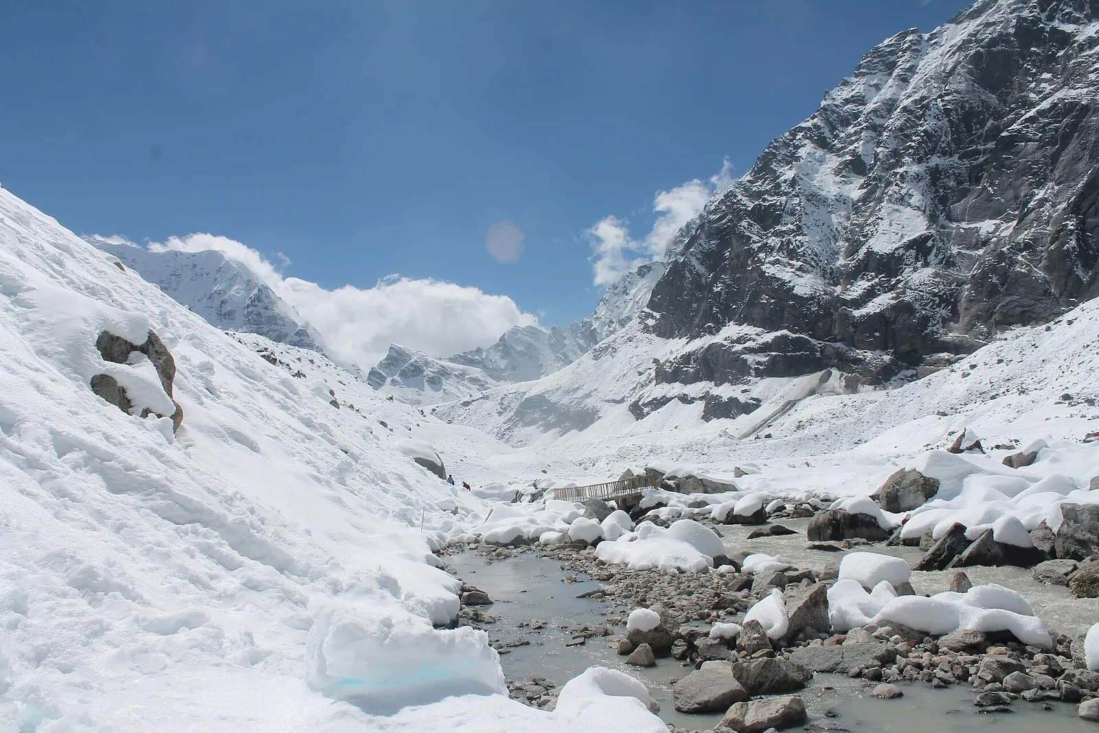
A snow-covered valley with a glacial stream and small footbridge at Makalu Base Camp, below steep rock walls.

A network of high and mid-hill routes about 1,700 km long that crosses Nepal from Kanchenjunga in the east to Humla and the far west, usually walked in sections, or as a through-trek of about four to five months.

Days
160 days
Maximum altitude
6,160 m
Difficulty
Challenging
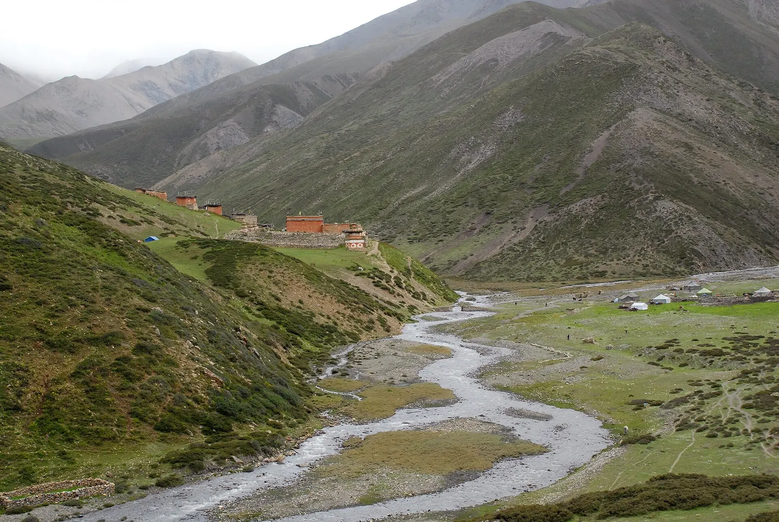
Green valley floor with a winding stream and the buildings of Shey Gompa beneath steep grassy mountainsides in Upper Dolpo.

A long restricted-area camping trek from Juphal past Phoksundo Lake, over the Kang La to Shey Gompa and Saldang, and back via the Jeng La and the Tarap valley.

Days
20 days
Maximum altitude
5,350 m
Difficulty
Challenging

Questions about Phoksundo Lake

How do I get to Phoksundo Lake?

Fly from Nepalgunj to Juphal, then walk about 3-4 days up the Suli Gad valley to Ringmo on the lake shore.

Do I need a restricted area permit for Phoksundo Lake?

No, the national park permit covers Ringmo and the lake. Going on into Upper or Lower Dolpo needs a restricted area permit.

How deep is Phoksundo Lake?

Surveys measured about 145 m in 2004 and about 136 m in 2019, among the deepest in Nepal.

When is the best time to visit Phoksundo Lake?

May to June and September to October. Winter is very cold and snowy.

More in Dolpo

All of Dolpo
Red-painted monastery buildings of Shey Gompa on a green hillside above a valley in Upper Dolpo.

Temple, monastery or heritage site · 4,340 m

Shey Gompa

A remote monastery in Upper Dolpo below Crystal Mountain, reached over the Kang La from Phoksundo Lake.

A stone chorten above the green fields of Chharka Bhot, with the village and a river below bare mountains.

Trek stop · 4,320 m

Chharka

A fortified-looking stone village in eastern Dolpo, a key stop on traverses between Dolpo and Mustang.

Flat-roofed stone houses of Dho village under prayer flags, with bare brown hills and a snowy peak behind.

Trek stop · 4,080 m

Dho Tarap

A high farming village in the Tarap valley of Dolpo, a crossroads of treks between Phoksundo, Upper Dolpo and Mustang.

Trek stop · 2,090 m

Dunai

The district headquarters of Dolpa on the Thuli Bheri river, the first night for most treks into Dolpo.

Red-painted buildings on a green slope above a braided stream near Saldang in Upper Dolpo.

Trek stop · 3,620 m

Saldang

The largest village of Upper Dolpo, scattered high above the Nankhang valley on the old salt-trade route to Tibet.

Nearby

Valley or region

Dolpo

A remote trans-Himalayan region of Bon and Buddhist villages, high passes and turquoise Phoksundo Lake, behind the Dhaulagiri and Kanjiroba ranges.

Lake · 2,990 m

Rara Lake

Nepal's largest lake, a deep blue sheet of water ringed by pine forest in the remote Karnali hills.

The open grassland plateau of Dhorpatan ringed by forested hills.

National park or conservation area · 2,850 m

Dhorpatan Hunting Reserve

Nepal's only hunting reserve, a remote high country of alpine meadows, fir forest and blue sheep below the Dhaulagiri and Putha Himal ranges.

Editorial draft: facts are being checked against the sources below. Last checked 2026-10-06. Sources: Phoksundo Lake, Wikipedia, Shey Phoksundo National Park, Wikipedia