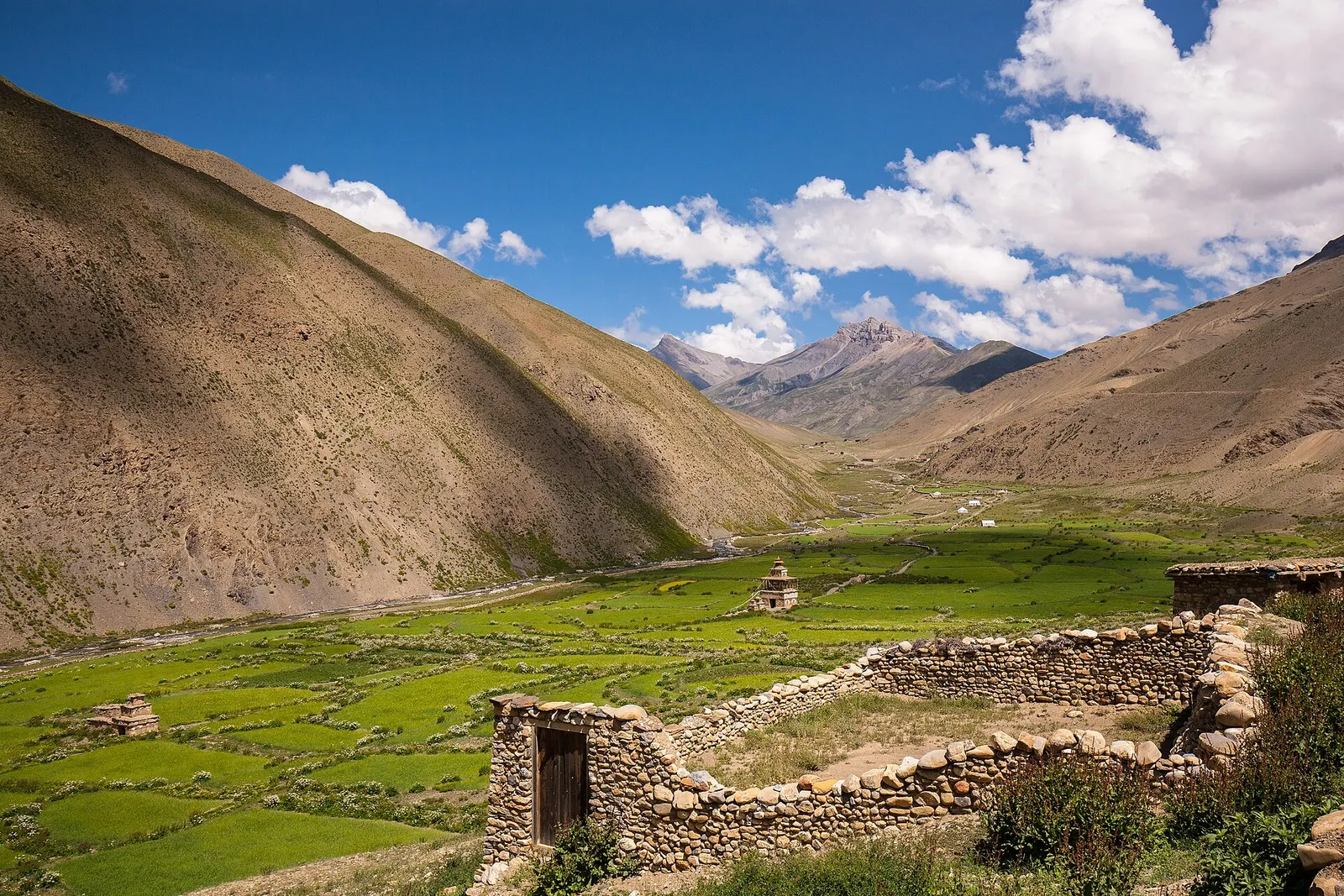
A remote camping traverse from Juphal up the Tarap valley to Dho Tarap, east over high passes to Chharka Bhot, and over the Sangda La into Mustang to finish at Jomsom.
- Days
- 16 days
- Maximum altitude
- 5,550 m
- Difficulty
- Challenging
Dolpoदुनै
The district headquarters of Dolpa on the Thuli Bheri river, the first night for most treks into Dolpo.
This is Dunai, the headquarters of Dolpa district in Nepal, not the Dunai radar or places in Hungary or Russia.
Higher seasonal exposure: other (Jun-Sep), road blockages (Jun-Sep), snow (Nov-Apr).
Dunai is the administrative centre of Dolpa district, a bazaar town on the banks of the Thuli Bheri river at about 2,000-2,100 m. It lies a few hours' walk east of Juphal airport, and almost every trek into Dolpo, whether to Shey Phoksundo Lake, the Tarap valley or Upper Dolpo, passes through it on the first or last day.
The town has government offices, a district hospital, a campus, shops and lodges, and is the place to pick up last supplies. From Dunai trails follow the Suli Gad north to Phoksundo or the Thuli Bheri east to Tarakot and the Tarap valley.
Dunai is part of Thuli Bheri Municipality. Its population mixes Hindu Chhetri and Thakuri families of the lower Bheri valley with Buddhist people from Dolpo who come to trade, study and use government services. The town was badly affected during the Maoist conflict, when the district headquarters was attacked in 2000. A suspension bridge over the Thuli Bheri and a growing road network now link it with the rest of the district.
Prepare for the trek
Buy last snacks and fuel, and complete permit checks before heading up the Suli Gad or the Bheri valley.
Walk along the Thuli Bheri
Stroll across the suspension bridge and along the river in the late afternoon.
Forecast for 2,090 m. Conditions change fast in the mountains.
Weather data: MET Norway, licensed CC BY 4.0. A forecast, not a guarantee.
May-Oct
A few simple guesthouses and lodges.
No partner stays are listed here yet. List a property.
Fly from Nepalgunj to Juphal and walk 2-3 hours to Dunai; road access from the south exists but is long and seasonal.
Nearest hub: Nepalgunj
Nearest hub: Nepalgunj. Times are typical ranges, not schedules, and vary with roadworks, weather and the season.
By airfrom Nepalgunjabout 0.6-0.8 hDolpa (Juphal)often delayed or cancelled by weather
Small aircraft from Nepalgunj serve Dolpa (Juphal) airport at about 2,500 m, on a 663 m asphalt strip. Nepalgunj is the hub for the remote western airstrips, and the Juphal leg is weather-dependent.
When to set off: Morning flights only; most travellers fly Kathmandu to Nepalgunj the day before and allow spare days.
By car or jeepfrom Nepalgunj
Rough seasonal roads reach Dunai from the lowlands via Jajarkot or Rukum; they are long and unreliable and no sourced hour band was found.
Road: Long rough mountain road, 4WD only, with an alignment and usable season that change from year to year.
On footfrom Juphalabout 2-3 hAbout 2-3 hours from the Juphal airstrip, mostly downhill, dropping roughly 400 m to the Thuli Bheri.
The standard arrival: fly to Juphal at about 2,500 m and walk down to Dunai on the river.
Restricted-area permit
The Department of Immigration lists Thuli Bheri Municipality among the Lower Dolpa restricted-area wards, so trekkers need the Lower Dolpa permit, arranged through a registered agency; Upper Dolpo and Shey Phoksundo National Park need further permits. Restricted-area permits are issued only through a government-registered trekking agency, for trekkers with a licensed guide; a minimum group of two has long been required, and changes have been reported, so confirm the current rule.
Verify before travel: permit rules and fees change. Checked 2026-10-06 against Department of Immigration, Nepal: Trekking Route and Permit Fee.
On the Upper Dolpo trek, Lower Dolpo circuit, Dho Tarap to Jomsom traverse, Phoksundo Lake trek.
What this place is typically exposed to, and when. These are seasonal patterns, not a report on conditions now.
Otherhigh in a typical yearJun-Sep
Access, not rain, is the monsoon problem: cloud on the Nepalgunj-Juphal leg frequently delays or cancels the flight into Dolpa, and spare days at either end are normal.
Road blockageshigh in a typical yearJun-Sep
The rough seasonal roads linking Dunai with the lowlands via Jajarkot or Rukum are long and unreliable, and monsoon rain is when blockages are most likely.
Snowhigh in a typical yearNov-Apr
Everything above Dunai is a different matter: the Dolpo passes above 5,000 m hold snow from late autumn into spring.
Landslidesmoderate in a typical yearJun-Sep
Dolpo is a trans-Himalayan rain-shadow region with under 500 mm of precipitation a year, so monsoon rain and landslide exposure in the upper valleys is low; the lower Suli Gad and Bheri trails are wetter.
Coldlow in a typical yearDec-Feb
At about 2,090 m Dunai stays walkable through the winter, although the high routes beyond are snowbound.
Check current conditions before you travel
Roads, trails, passes and flights change with the weather and with roadworks, and nothing on this page describes conditions today. Before you set off, check the Department of Hydrology and Meteorology for weather and flood warnings, the Nepal Disaster Risk Reduction Portal for incidents, and the local authority, police or your licensed operator for road, trail and flight status.
A remote camping traverse from Juphal up the Tarap valley to Dho Tarap, east over high passes to Chharka Bhot, and over the Sangda La into Mustang to finish at Jomsom.
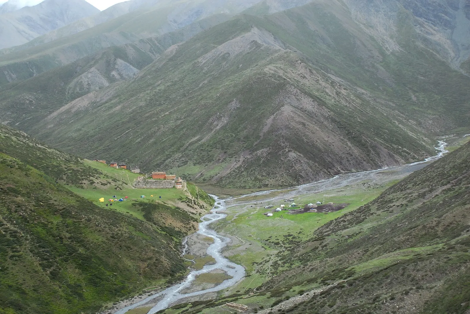
A long restricted-area camping trek from Juphal past Phoksundo Lake, over the Kang La to Shey Gompa and Saldang, and back via the Jeng La and the Tarap valley.
Fly from Nepalgunj to Juphal, about 35-45 minutes, then walk about 2-3 hours to Dunai.
Dunai lies in an area listed for the Lower Dolpa restricted-area permit; arrange it through a registered agency and confirm the current rule.
About 2,000-2,100 m.
Lake · 3,612 m
A deep turquoise alpine lake in Dolpo, dammed by an ancient landslide, with the Bon village of Ringmo on its shore.
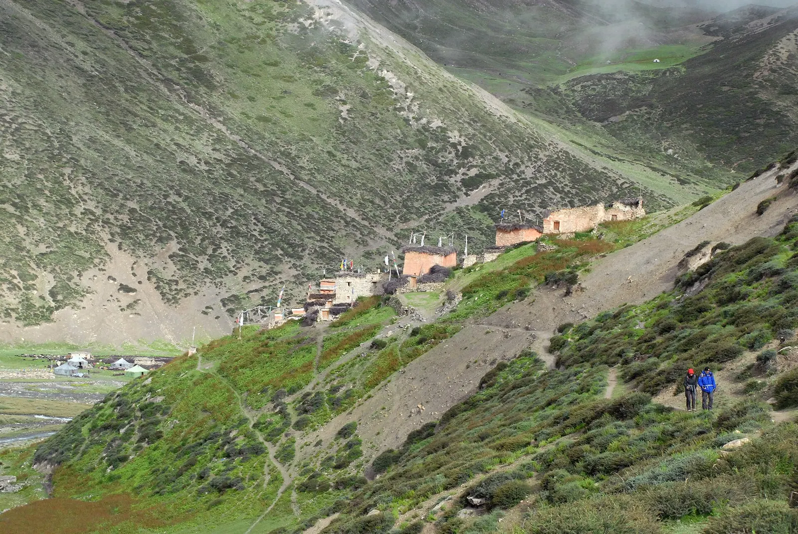
Temple, monastery or heritage site · 4,340 m
A remote monastery in Upper Dolpo below Crystal Mountain, reached over the Kang La from Phoksundo Lake.
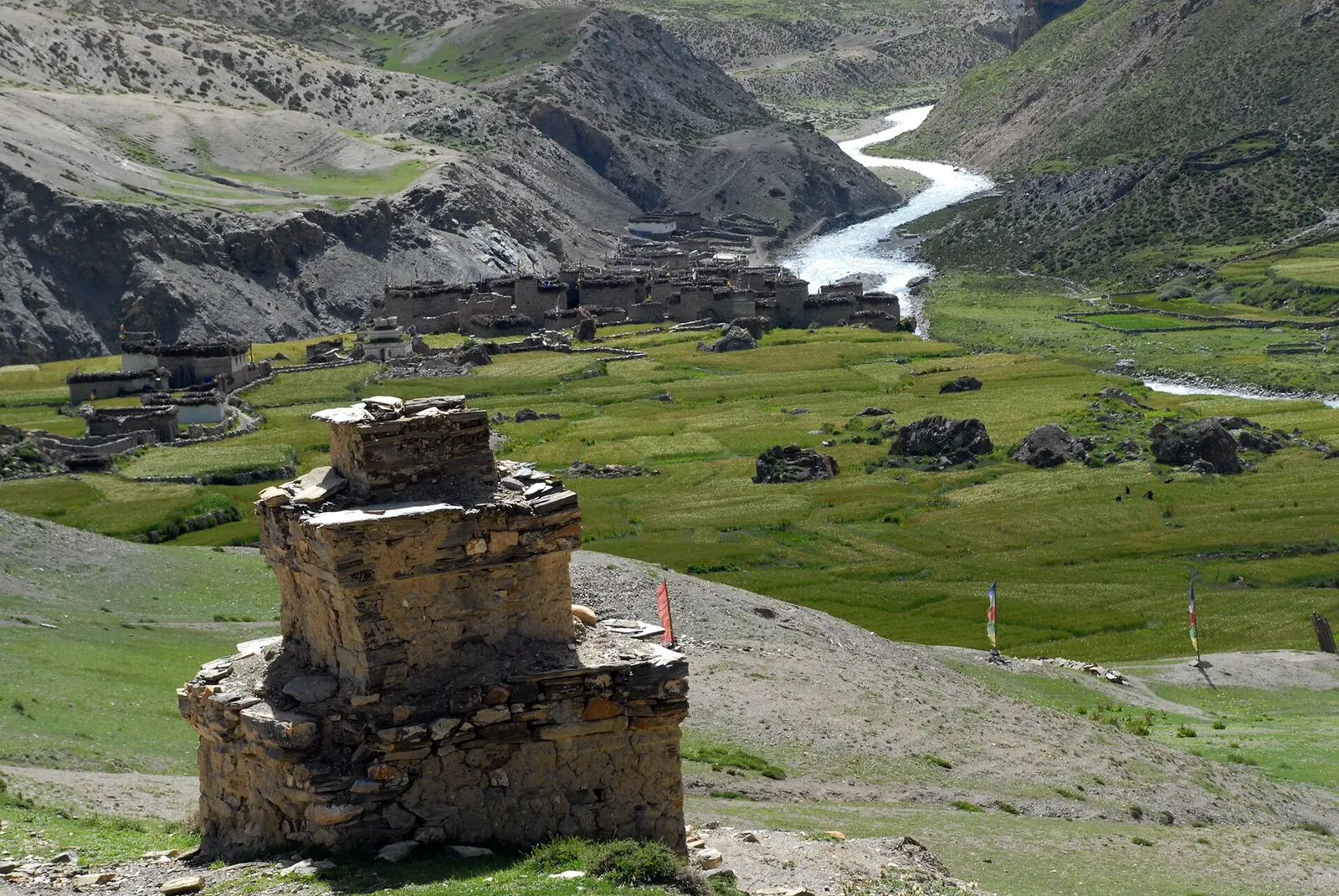
Trek stop · 4,320 m
A fortified-looking stone village in eastern Dolpo, a key stop on traverses between Dolpo and Mustang.
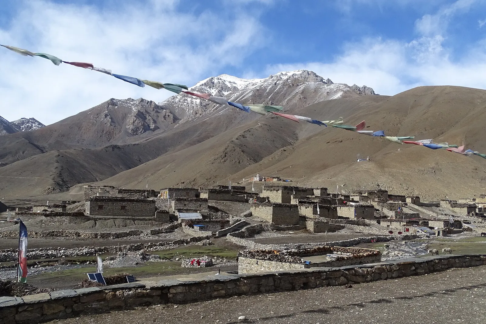
Trek stop · 4,080 m
A high farming village in the Tarap valley of Dolpo, a crossroads of treks between Phoksundo, Upper Dolpo and Mustang.
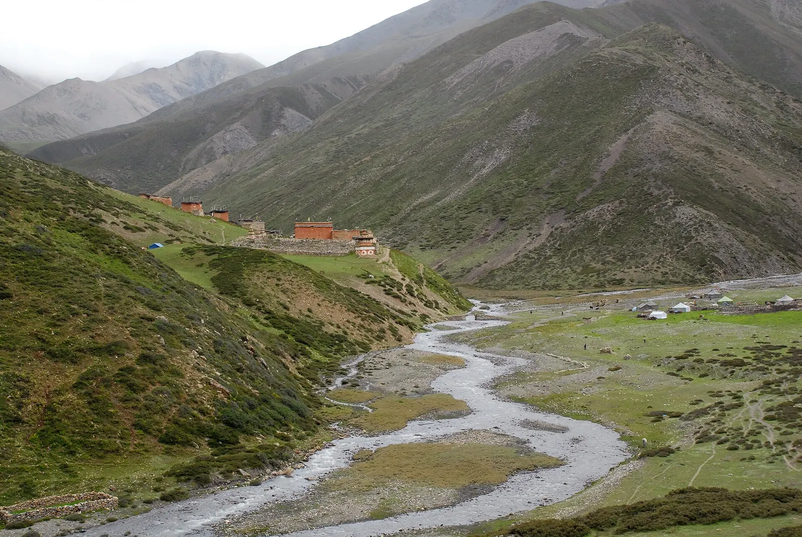
Trek stop · 3,620 m
The largest village of Upper Dolpo, scattered high above the Nankhang valley on the old salt-trade route to Tibet.
Valley or region
A remote trans-Himalayan region of Bon and Buddhist villages, high passes and turquoise Phoksundo Lake, behind the Dhaulagiri and Kanjiroba ranges.